| Home Page | |
| FAQ | |
| Publications | |
| Documentation | |
| Software | |
| Movies | |
| Image Gallery | |
| Image Data | |
| Validation | |
| Data Search | |
| Derived Products | |
| Related Links | |
| Contact Us | |
| SCP file site | |
1978 & 1992-present (Brigham Young University) Jeff Budge and David G. Long Last database update: 22 June 2019 (for current positions click here) Tracking A68A: update
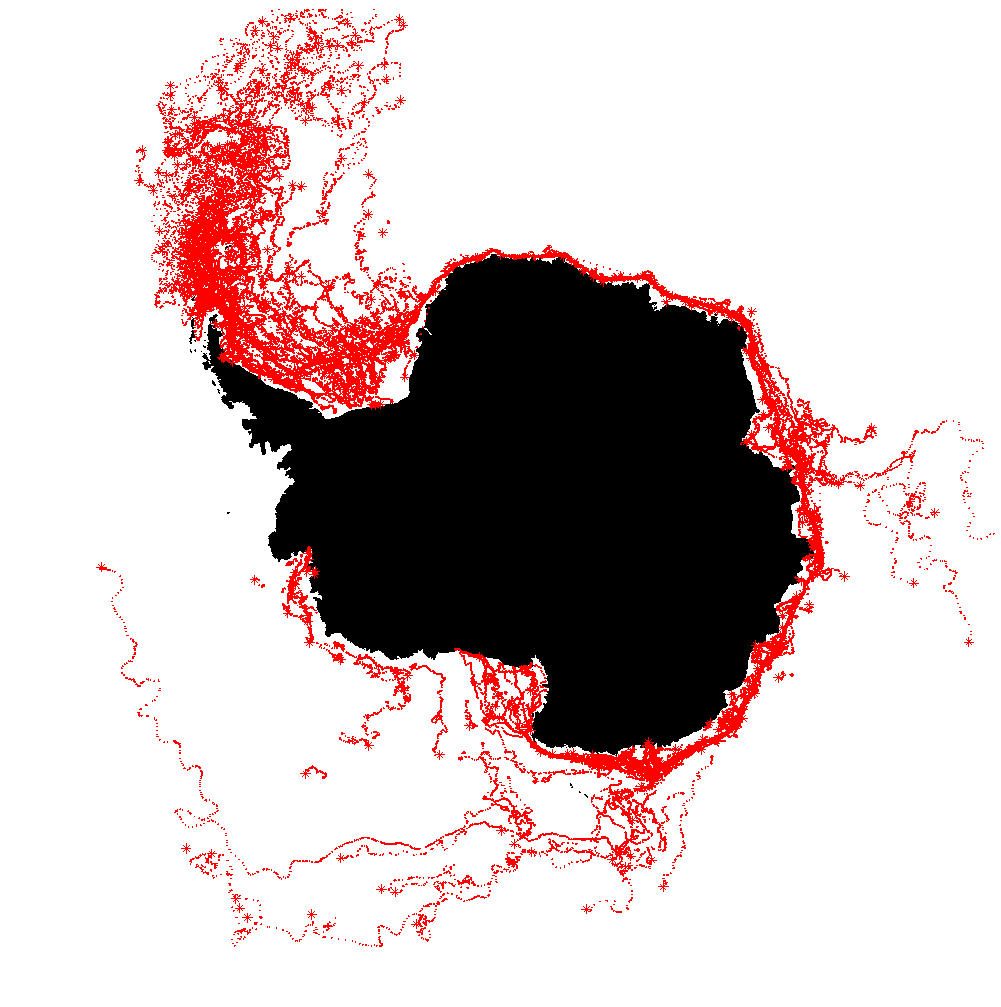
Using data from all available satellite scatterometer instruments, along with measurements from the National Ice Center (NIC), we have produced a consolidated iceberg tracking database. The BYU database includes icebergs identified in enhanced resolution scatterometer backscatter images during July-Sept. 1978 (from Seasat), July 1996-June 1997 (from NSCAT), 1992-2001 (from ERS-1/2), June 1999-November 2009 (from QuikSCAT), 2008-present (from ASCAT), 2012-2014 (from OSCAT), 2017-present (OSCAT2). Images were obtained from the Scatterometer Climate Record Pathfinder (SCP) project. Data sets from seven different spaceborne scatterometer instruments are used to track icebergs. For each data set, resolution enhancement is performed by BYU's Scatterometer Image reconstruction (SIR) and/or SIR Filtering (SIRF) algorithms. The scatterometer instruments used in this study are the Seasat-A Satellite Scatterometer (SASS), the European Space Agency's Remote Sensing Satellite 1(2) (ERS-1/-2), the NASA Scatterometer (NSCAT), the QuikSCAT/SeaWinds scatterometer (QSCAT), the MetOp-A and MetOp-B Advanced Scatterometer (ASCAT) sensors, and the Indian Space Research Organization's Oceansat-2 scatterometer. The Seasat-A scatterometer (SASS) was a dual-polarization Ku-band (14.6 GHz) scatterometer that operated from July to Sept. 1978. Using the SIRF algorithm, Antarctic images are generated every 12 & 48 days (a longer time is required for SASS compared to other instruments due to the sampling characteristics of the nominally 50 km backscatter measurements). The ERS-1/2 spacecraft carried a C-band (5.3 GHz) active microwave instrument (AMI). The scatterometer mode provides nominally 50 km resolution data. Using SIR, Antarctic images are produced every 6 days. The ERS-1/2 scatterometers operated from Jan. 1992 to Jan. 2001. The NSCAT scatterometer is a Ku-band Doppler radar similar to SASS, but with dual-side measurement capability and a dense 25 km resolution sampling. Using SIRF, Antarctic images were produced every 3 days. The NSCAT mission lasted from Sept. 1996 to June 1997. QuikSCAT was launched as a ``quick recovery'' mission to help fill the gap created by loss of NSCAT due a satellite failure. This scatterometer allows daily images of Antarctica to be created. QuikSCAT operated from July 1999 to November 2009. ASCAT was launched in October of 2006 and is currently operational. ASCAT operates at C-Band (5.255 GHz) at vertical polarization only. The SIRF algorithm applied to ASCAT (Standard BYU ASCAT Land/Ice Products) generates images from 1 and 2 days of data over Antarctica. Iceberg tracks for ASCAT have only been done back to the beginning of the ASCAT data. This provides an overlap of two data sets (QuikSCAT and ASCAT) for a few years (October 2006 to November 2009). The Oceansat-2 scatterometer (OSCAT-1) dataset begins August 2011 and continues through the end of March 2014. Its antenna geometry and frequency are similar to that of QuikSCAT. A follow-on OSCAT mission (OSCAT-2 on ScatSat) began in Nov. 2016, and is currently be used for iceberg tracking. The initial position for each iceberg is located based on either (1) a position reported by the National Ice Center (NIC)'s web page ( https://www.natice.noaa.gov//pub/icebergs/Iceberg_Tabular.pdf) or (2) by the sighting of a moving iceberg in a time series of scatterometer images. From an initial point, the iceberg is tracked in the scatterometer image time series forward and backward in time to major calving or breakup events. Gaps in the position track result from long time/space spacing in NIC reports, missing scatterometer data and from the occasional loss ofcontrast between the iceberg and surrounding area during summer months. Where possible interpolation is done to give an estimate of its position during those times. For each image, a lat/lon position is reported for each iceberg, with mostly daily position updates. In the consolidated database, lengths of the major and minor axes of each iceberg are given. "Named" icebergs are those whose name (which starts with a, b, c, or d) is assigned by the NIC. Other icebergs were also observed in scatterometer data. These are the "unnamed" icebergs and stored in files that begin with s, e, uor k, depending on the time period. Iceberg positions are reported in a separate CSV file for each iceberg. The file name is the same as that of the iceberg. For example the file "b27.csv" contains the position track information for B27 from ASCAT. A few lines from the b27.csv file are shown below:
ascat_1,ascat_2,date,nic_1,nic_2,nic_3,oscat_1,oscat_2,qscat_1,qscat_2,size_1,size_2 Latitude and longitude are specified in decimal degrees with positive North and East, respectively. The day is specified as YYYYDDD, with the day given as a three digit day of the year. Size are dimensions in km. A separate database containing more derivative measurements and statistics is also given in the links below. This database contains a single latitude and longitude point for each day, as well as an estimate of size (in sq km) and rotation velocity. The iceberg database and statistical database can be obtained via the links shown below. ASCAT-A/B and OSCAT-2 are now the primary sensors and positions are derived from a combination of all sensors. While the real-time positions are updated weekly or more often, the full database files referred to on this page are only updated a few times per year. If you become aware of a large (>5 km) Antarctic iceberg not contained in the database during the time period of our sensors, please inform us of its position and the time of observation. We can then use historical data to determine its origin and fate and add it to the tracking database. As of 12 July 2017, the top Antarctic icebergs of all time ranked by size are:
CONSOLIDATED DATABASE FILES (format and contents) The consolidated BYU/NIC iceberg database is described in the paper J.S. Budge and D.G. Long, "A Comprehensive Database for Antarctic Iceberg Tracking Using Scatterometer Data," IEEE Journal of Selected Topics in Applied Earth Observations, Vol. 11, No. 2, doi:10.1109/JSTARS.2017.2784186, 2017.
The individual database files are stored as comma separated values (.csv) that can be read by common spreadsheet programs. Matlab functions to read and plot the database files are available: consolplot.m and statsplot.m Database Format Within each zip file are one file per iceberg, with the name of the iceberg as the name of the file. Each of these .csv files is arranged with a single row header, showing what data each column contains. The names should be self explanatory.
For the stats dtabase there is a field for the date, mean latitude and longitude of all sensor positions given for that date, an estimate of the size (sq km) and rotation velocity of that berg, and a mask indicating its surroundings type. For reference,
The 'flags' column indicates the senor(s) used to compute the reported
mean latitudes and longitudes. It is a decimal number corresponding to the sensors used to create the single track, as well as a single bit to show if the measurement is interpolated. Each sensor is one 4 bite nibble. The nibbles are arranged as follows: (from lsb)
OLD DATABASE FILES** **note: the old version of the BYU iceberg database is no longer being updated after 2016.
Related papers: Support from both NASA and NSF is acknowledged. Last Revised: 7 Sept 2019
For further information contact: Dr. David G. Long
long@ee.byu.edu
Microwave Earth Remote Sensing (MERS) Lab: https://www.mers.byu.edu/
|