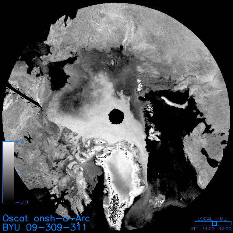
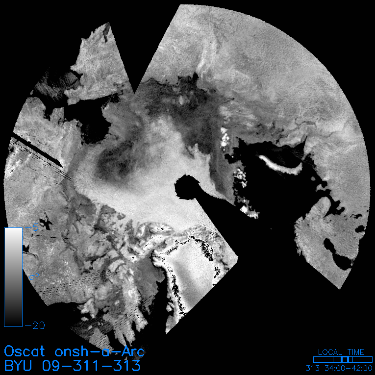
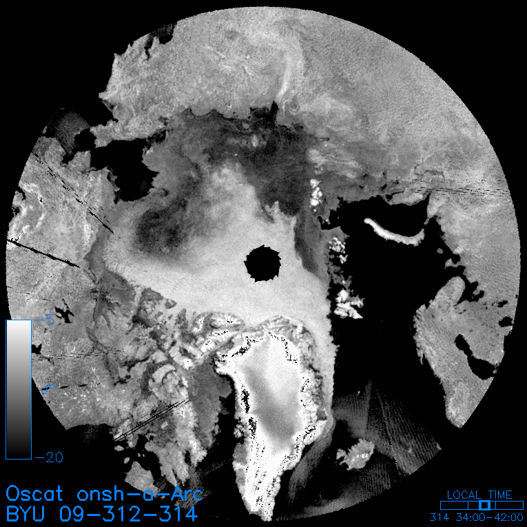
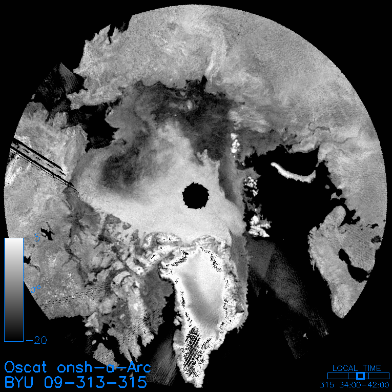
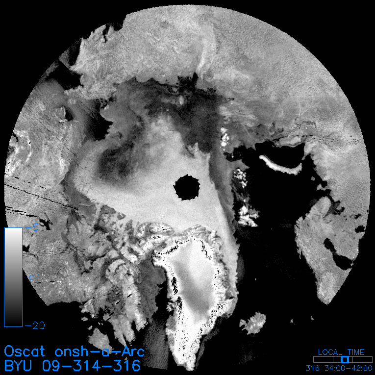
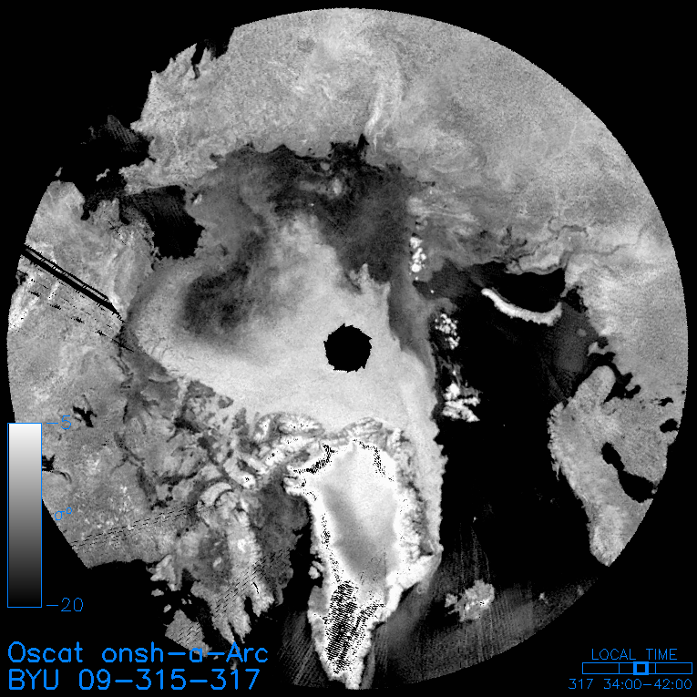
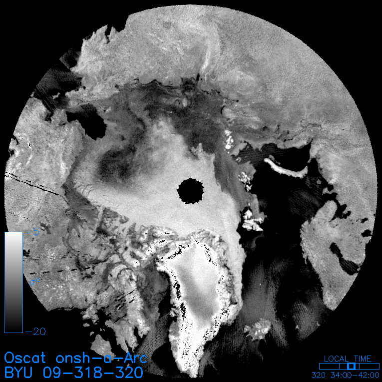
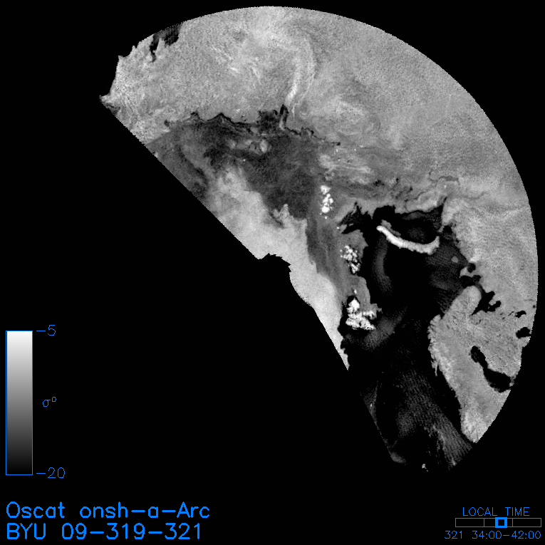
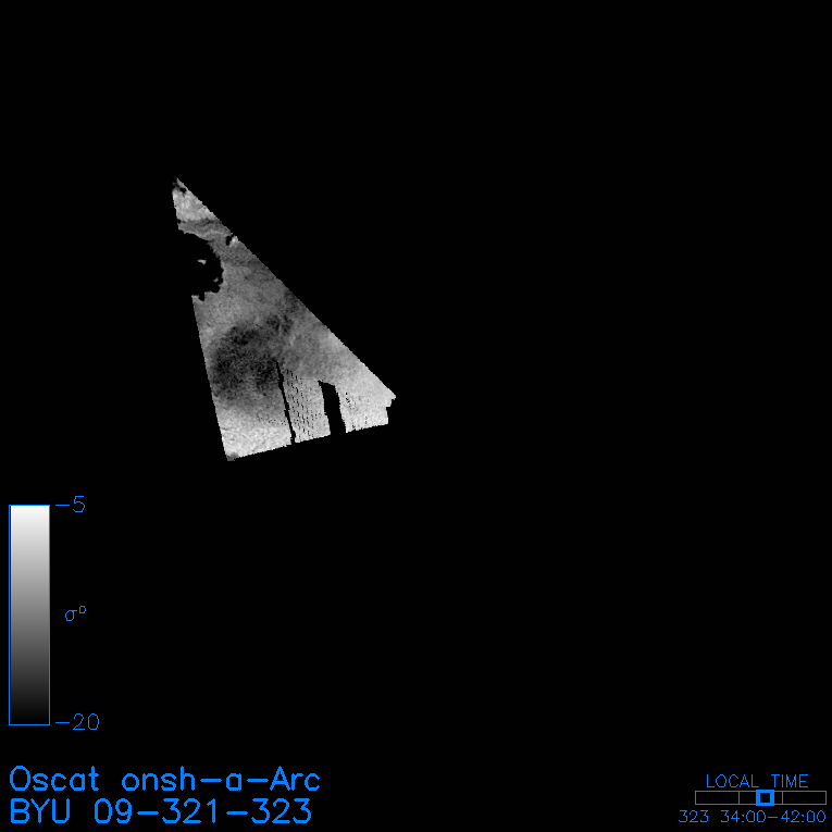
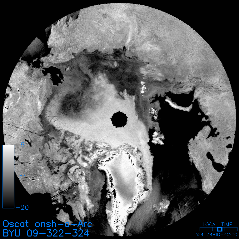
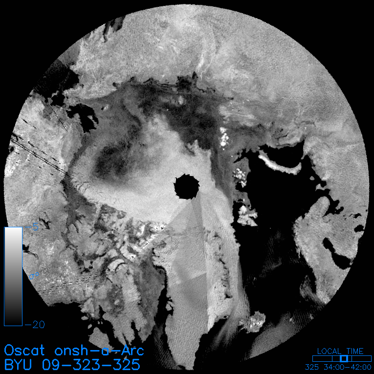
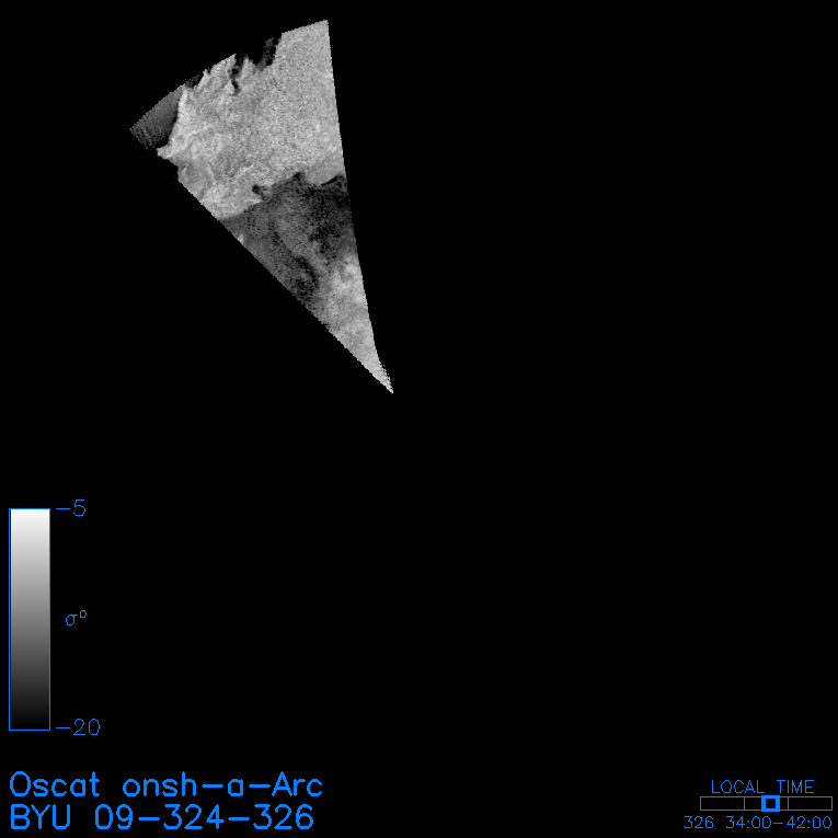
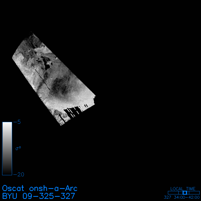
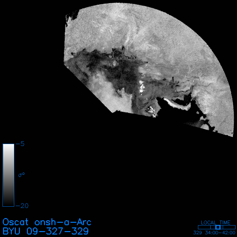
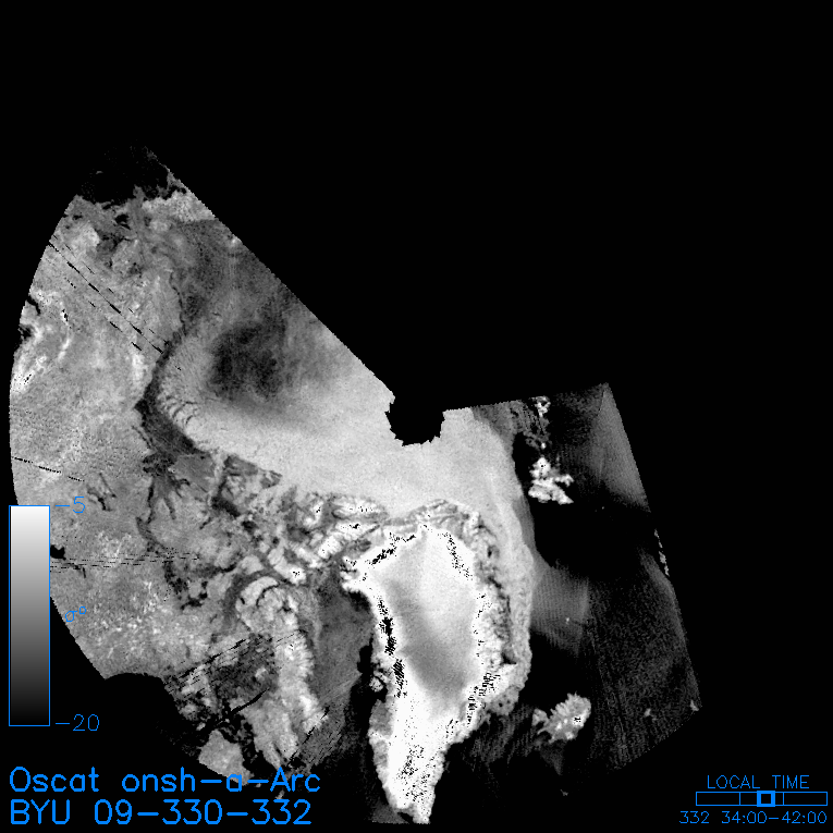
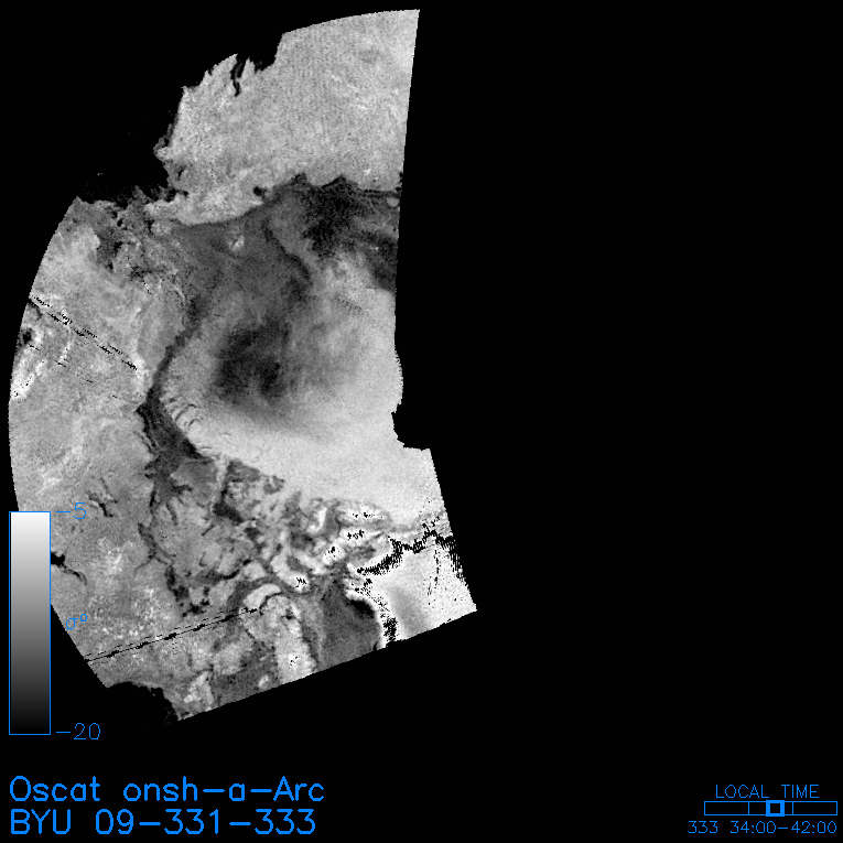
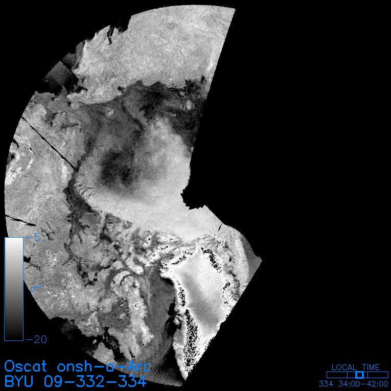
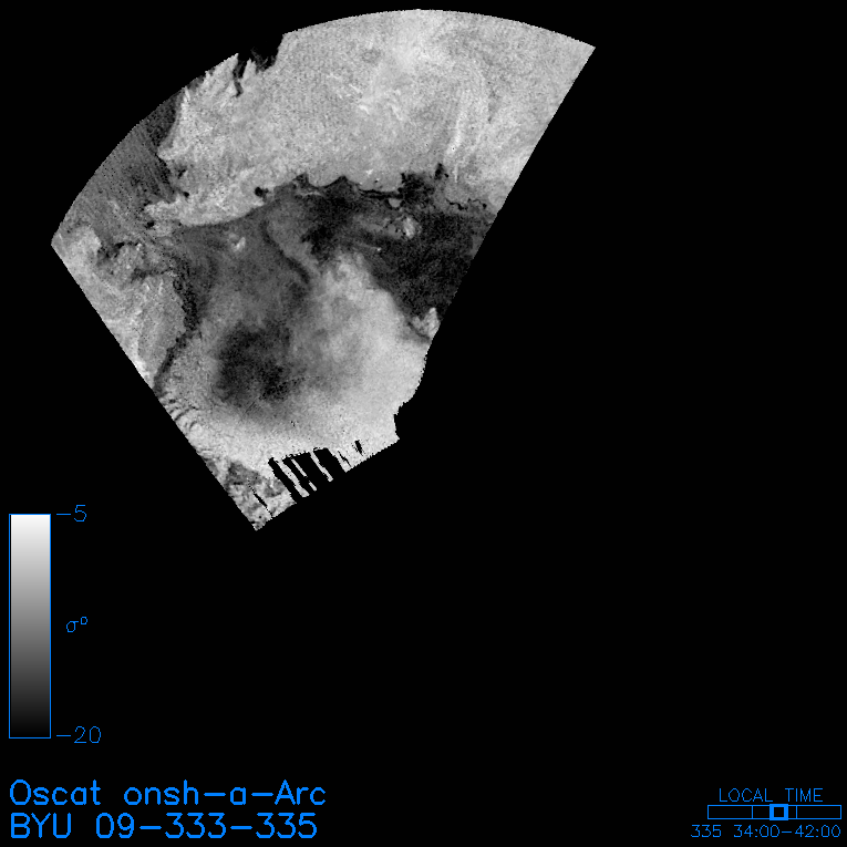
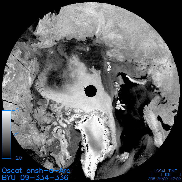
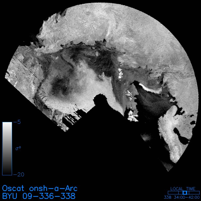
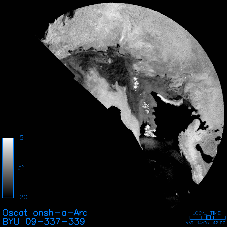
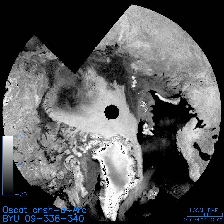
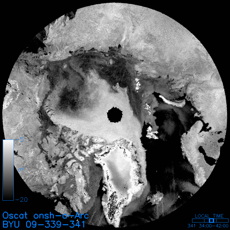
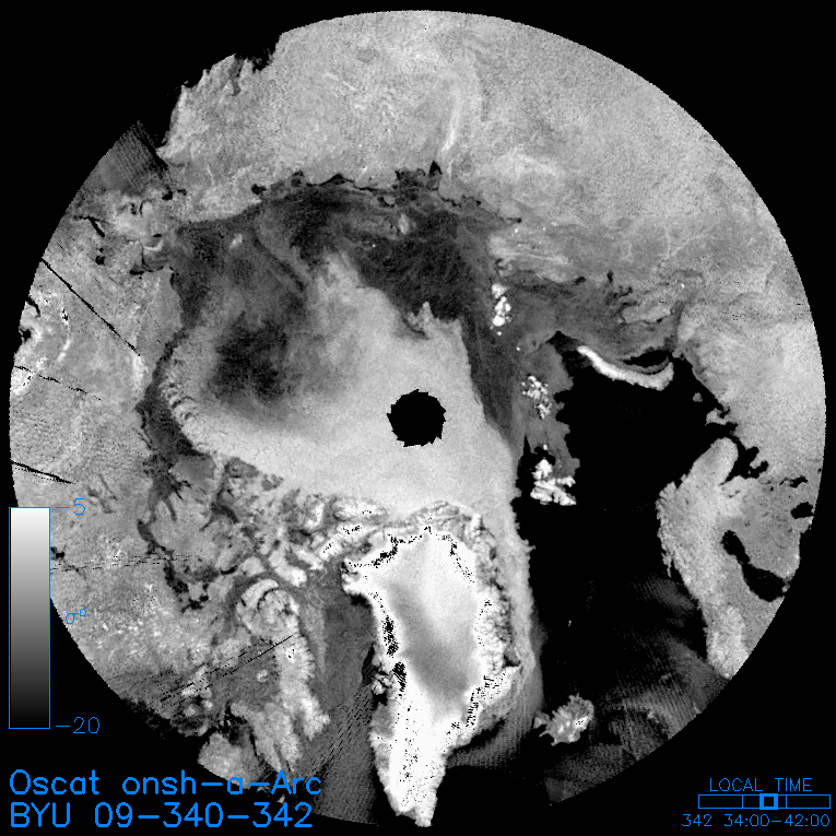
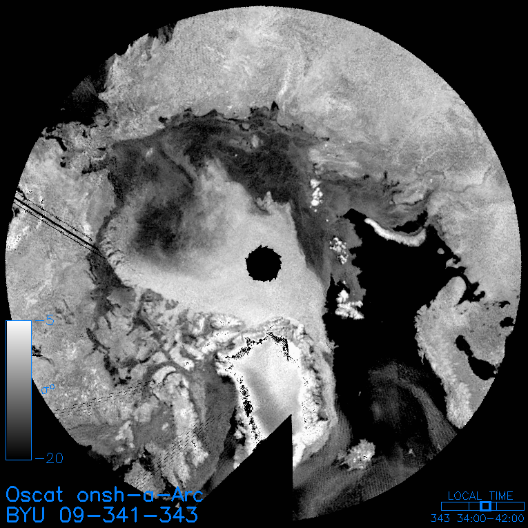
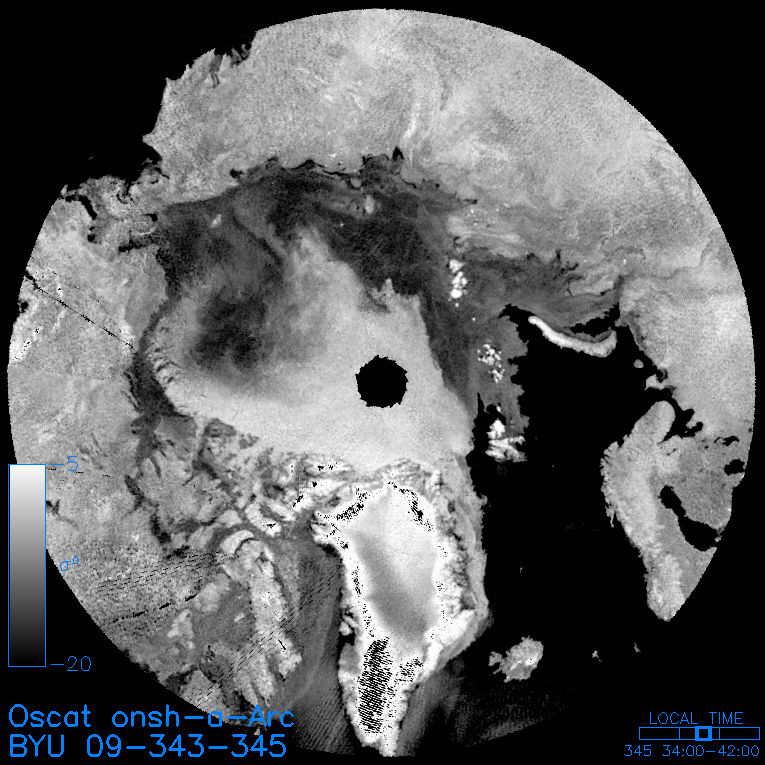
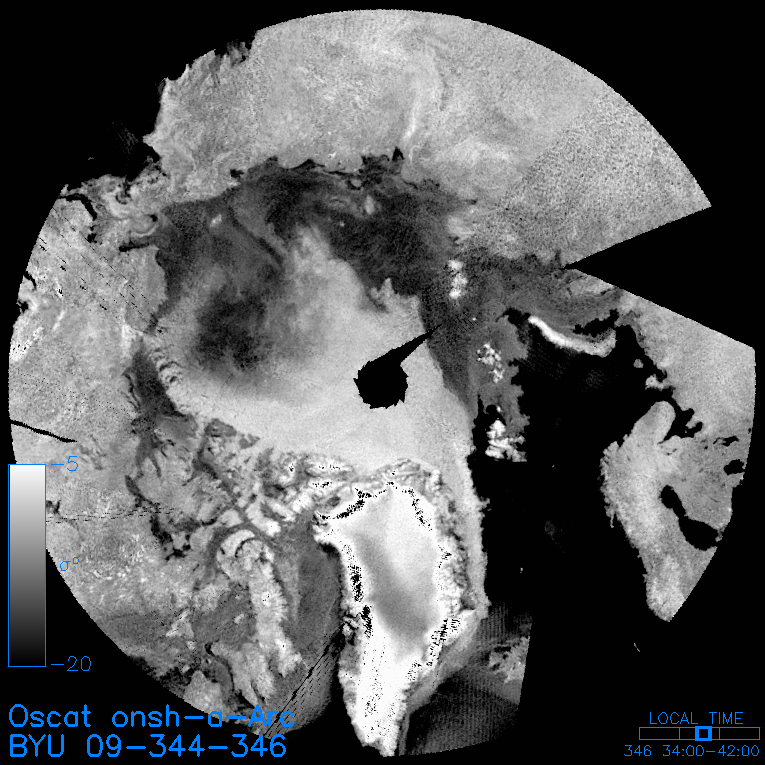
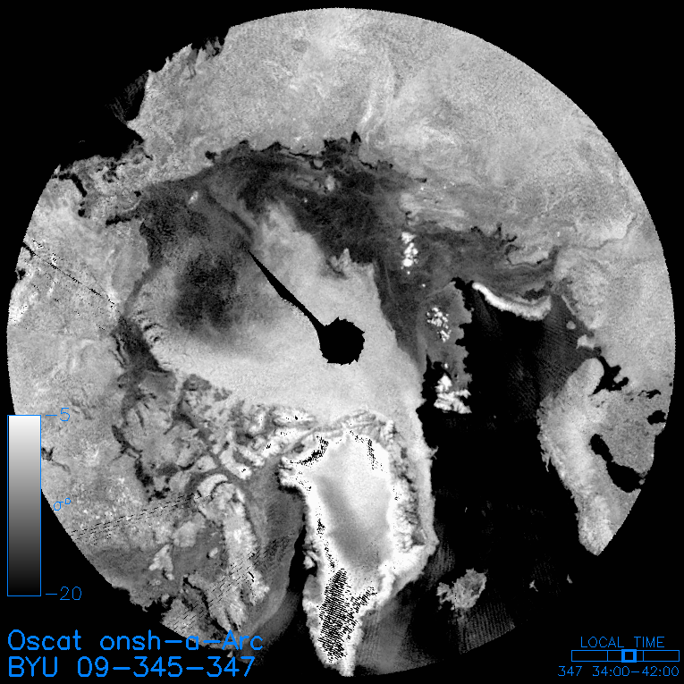
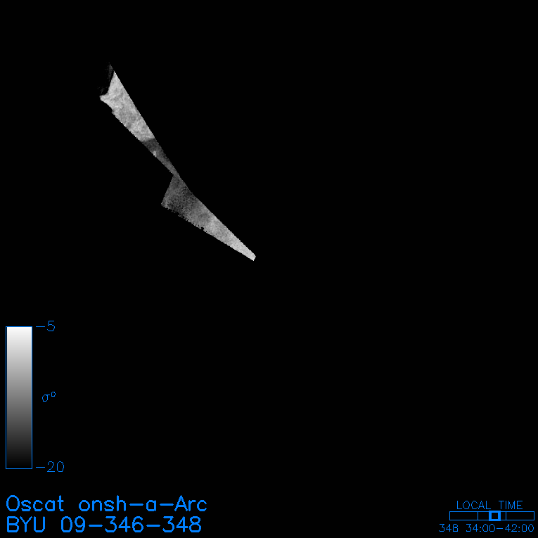
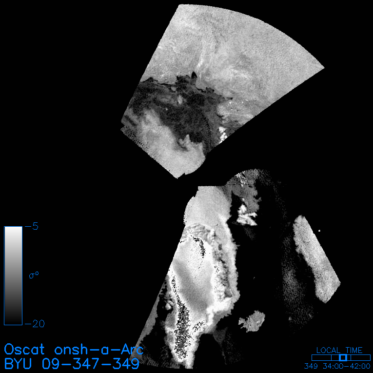
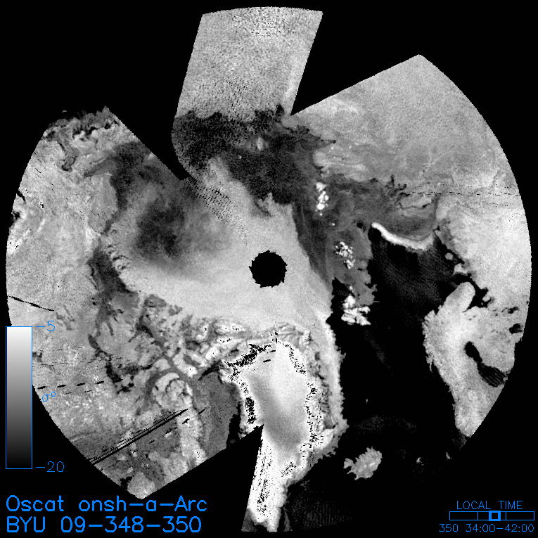
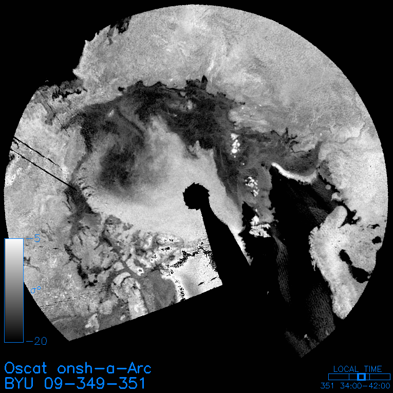
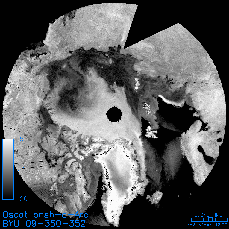
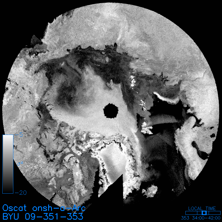
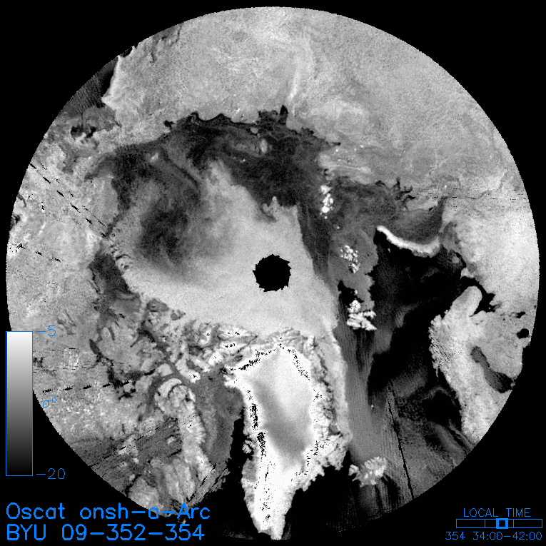
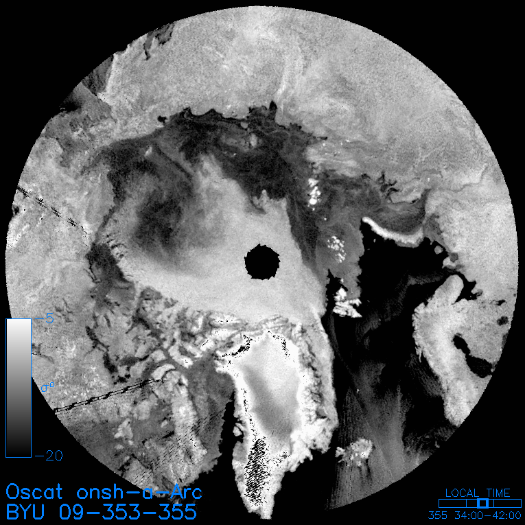
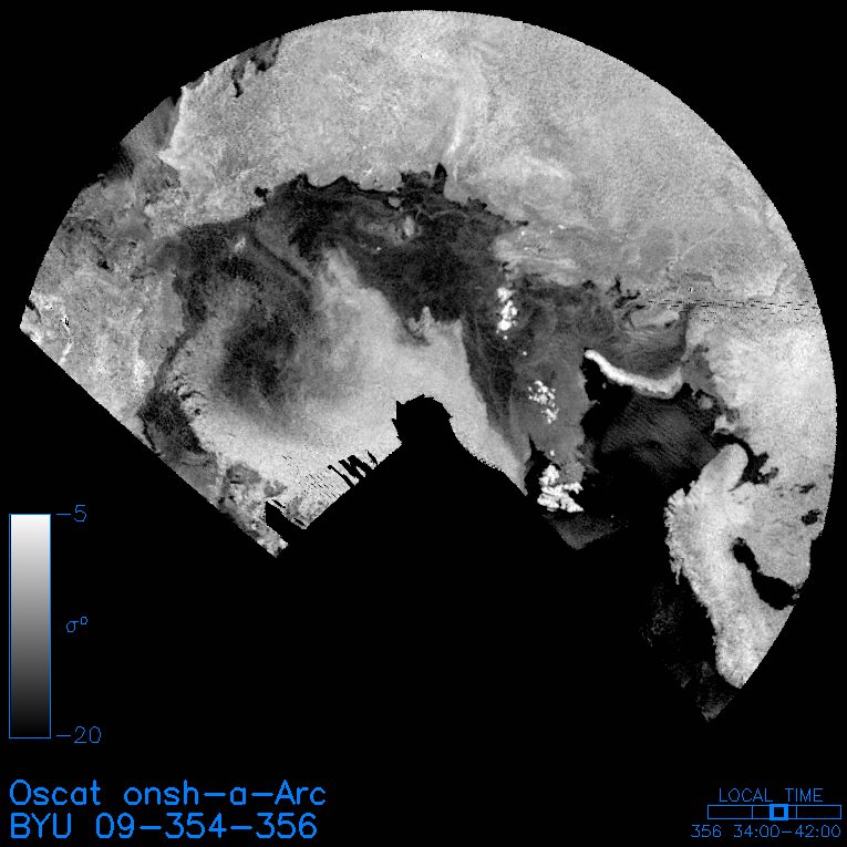
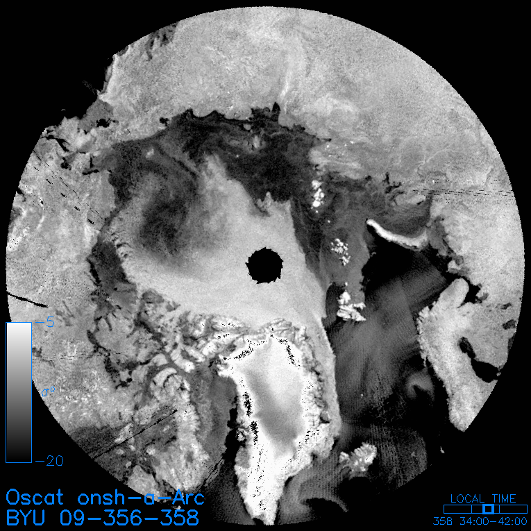
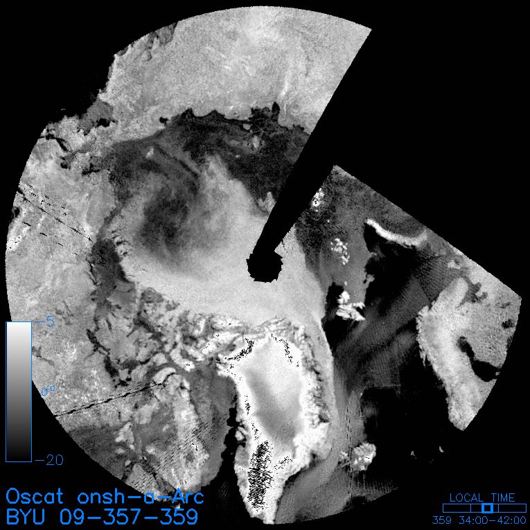
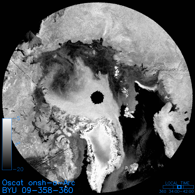
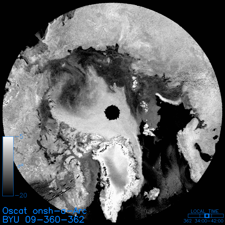
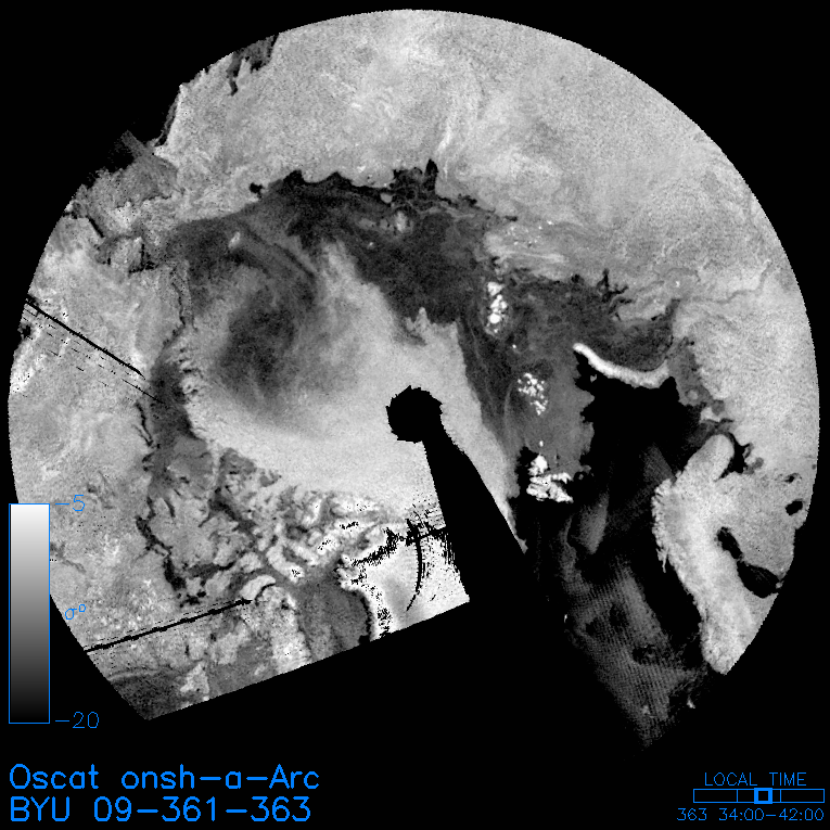
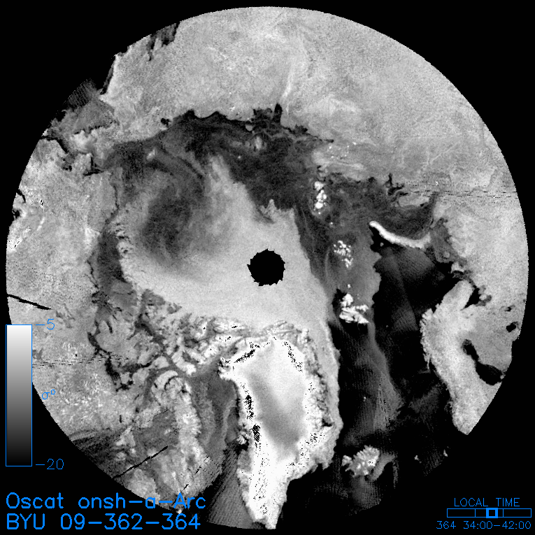
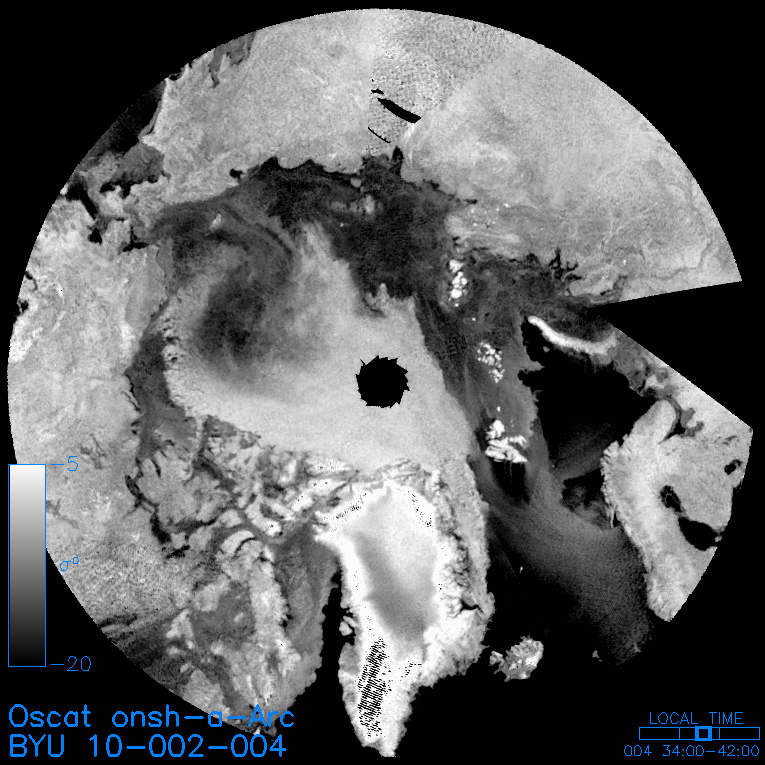
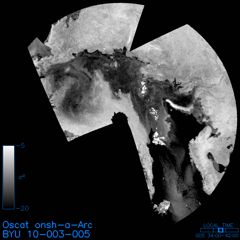
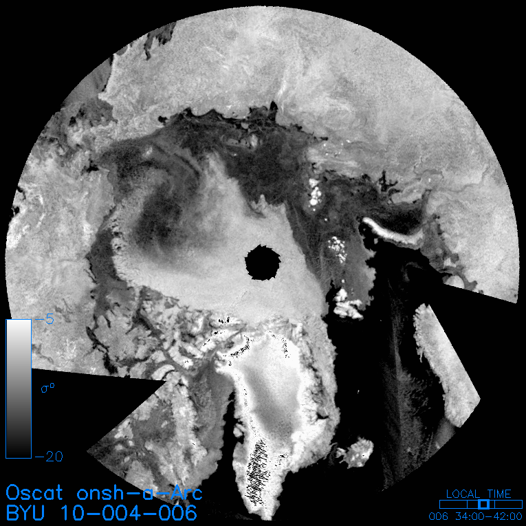
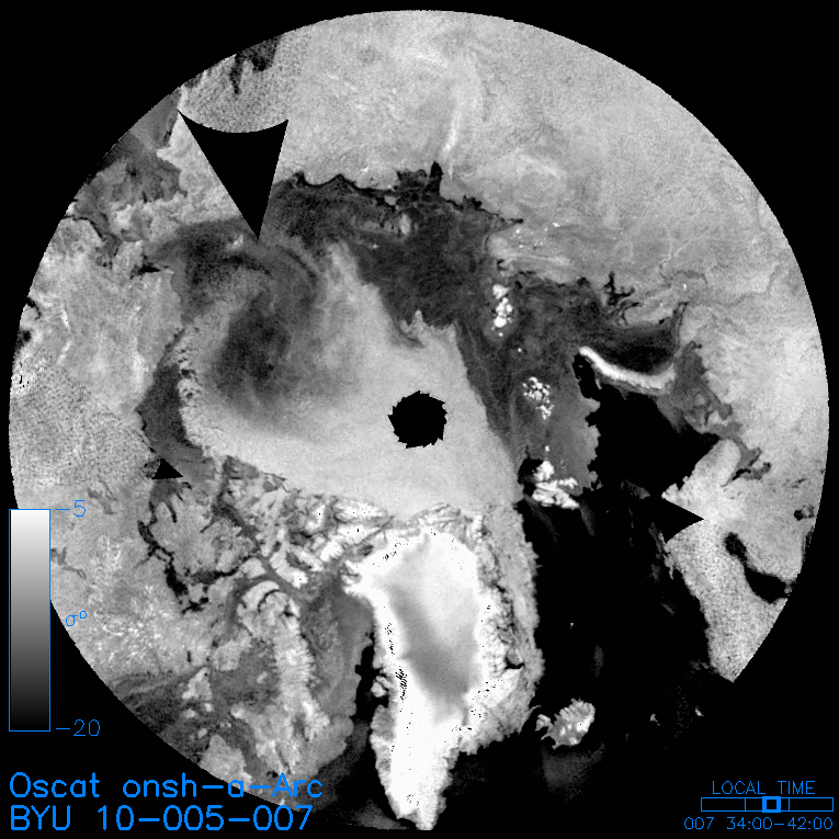
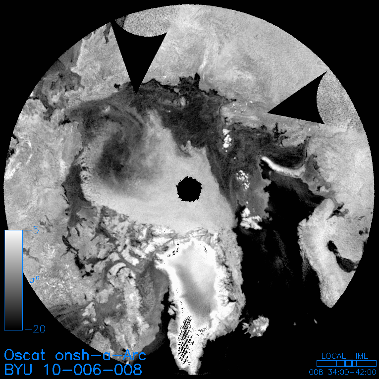
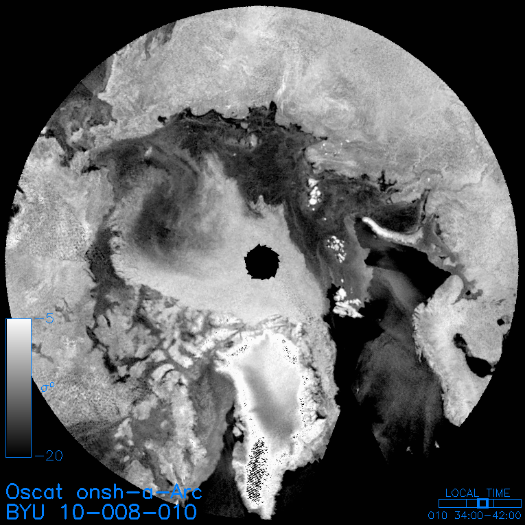
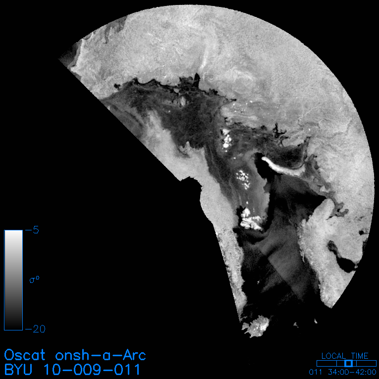
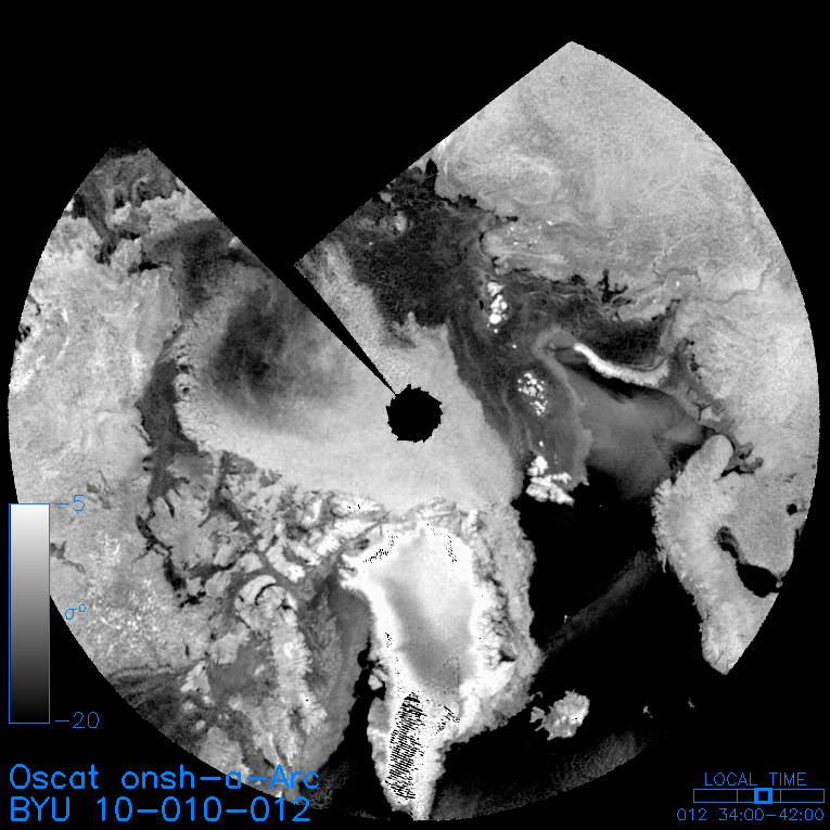
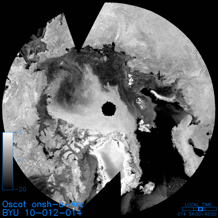
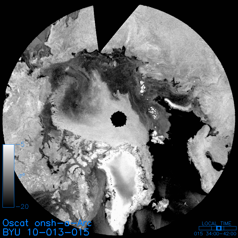
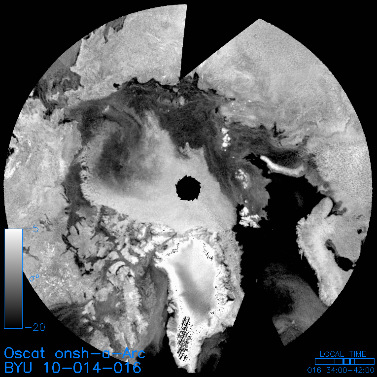
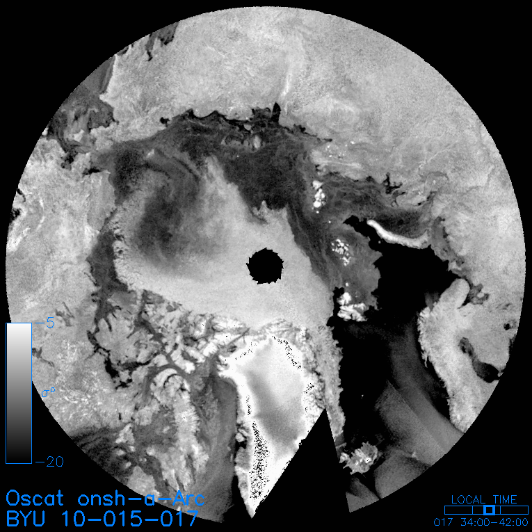
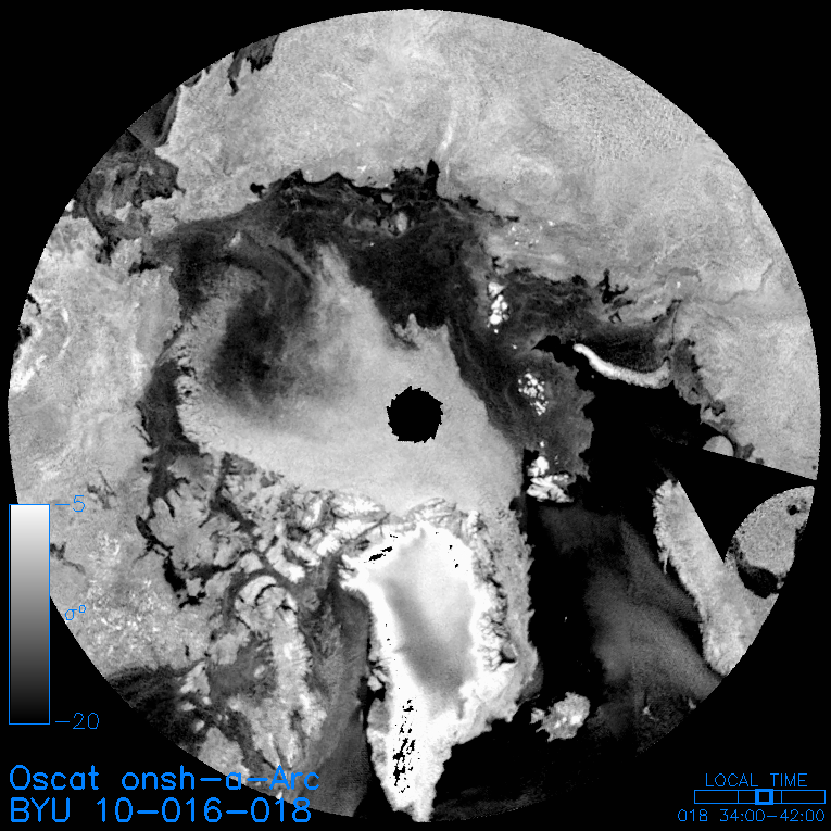
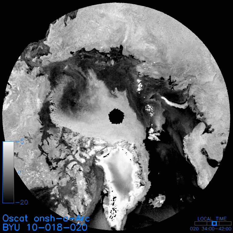
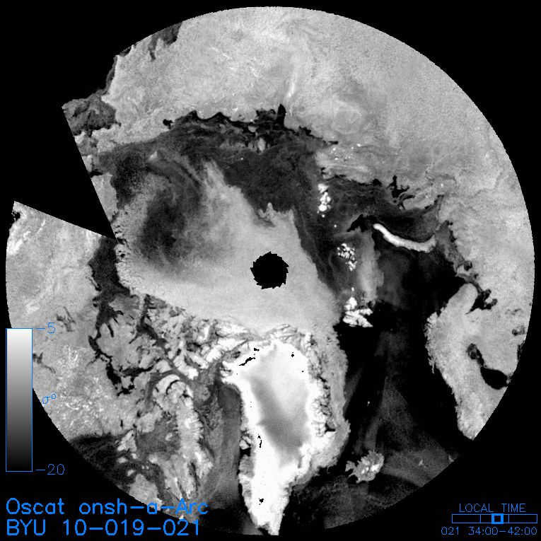
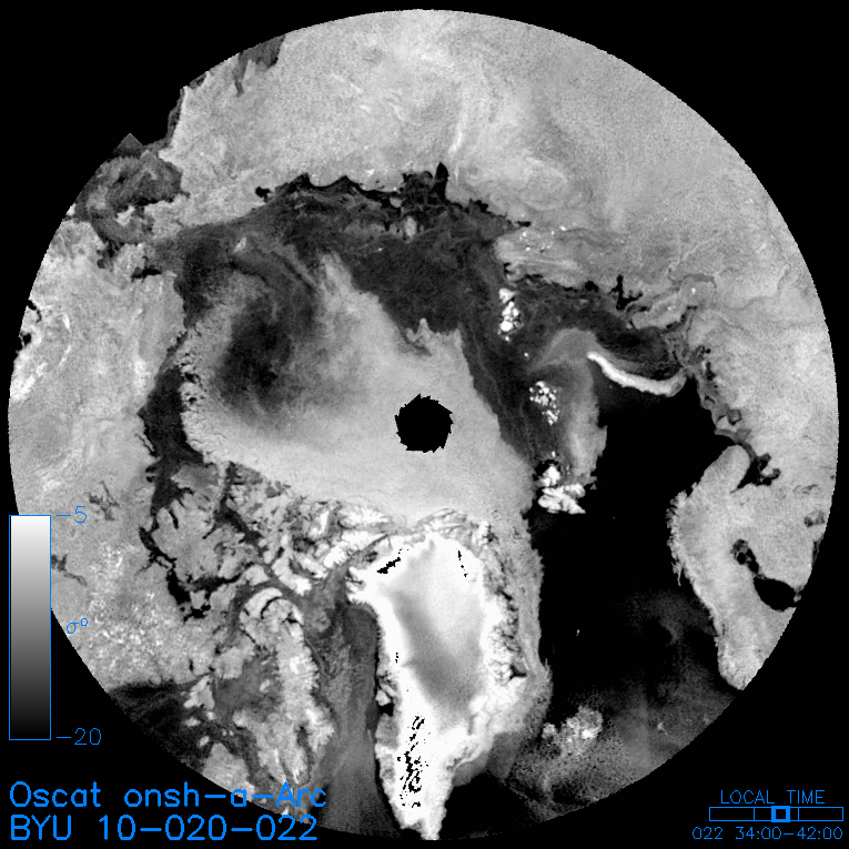
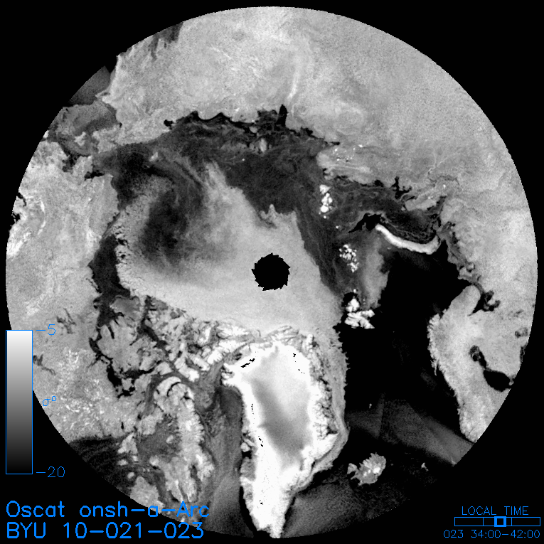
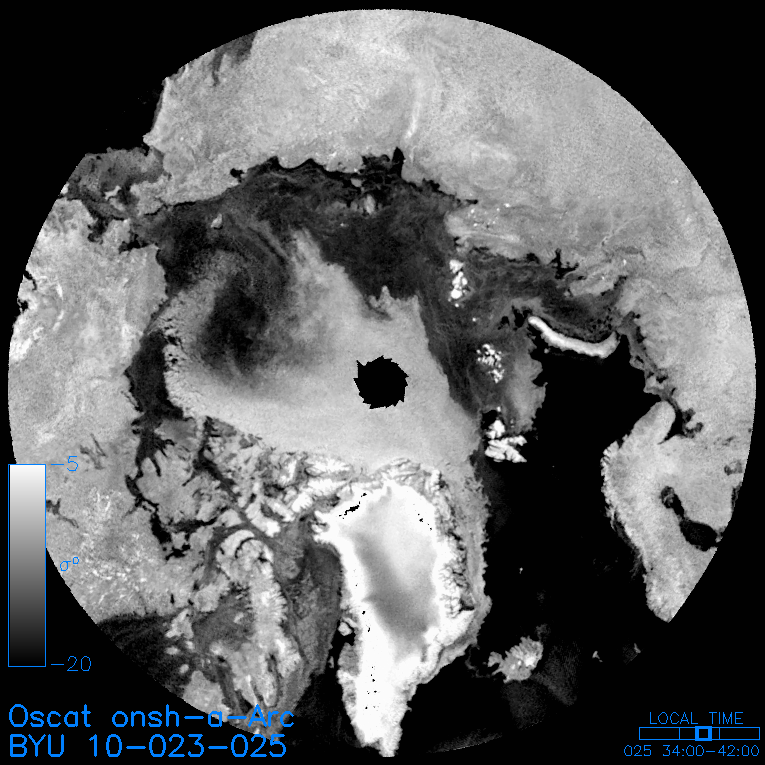
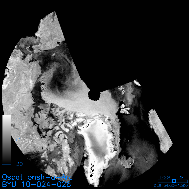
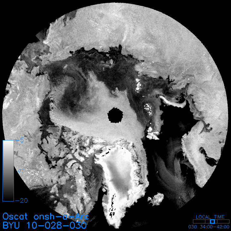
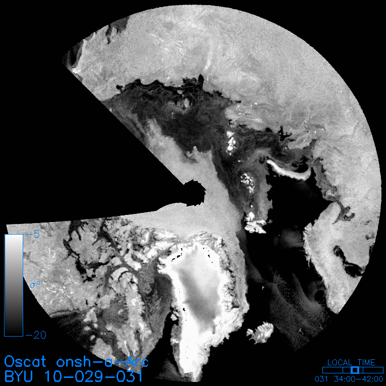
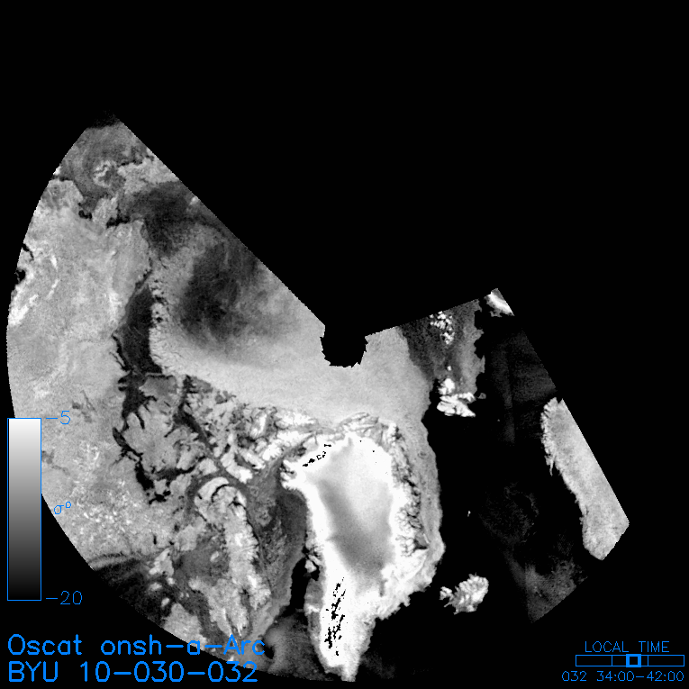
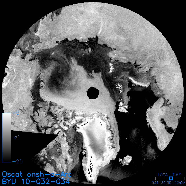
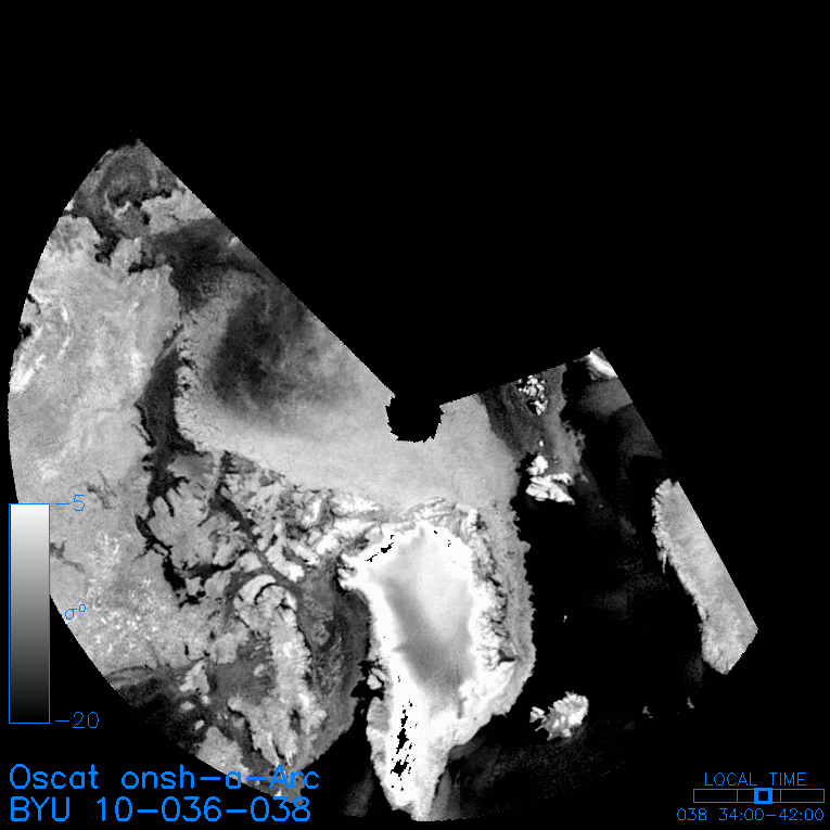
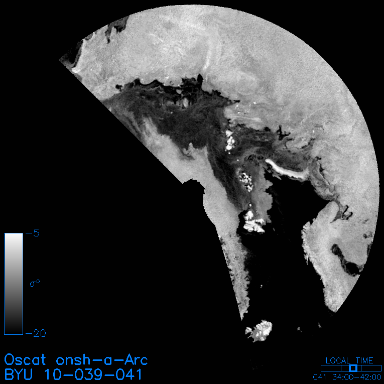
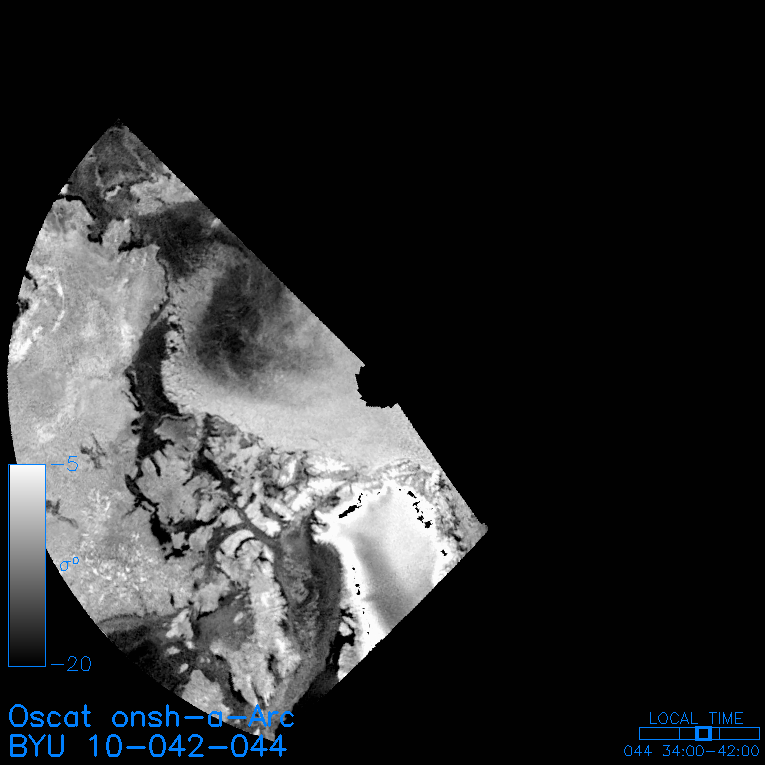
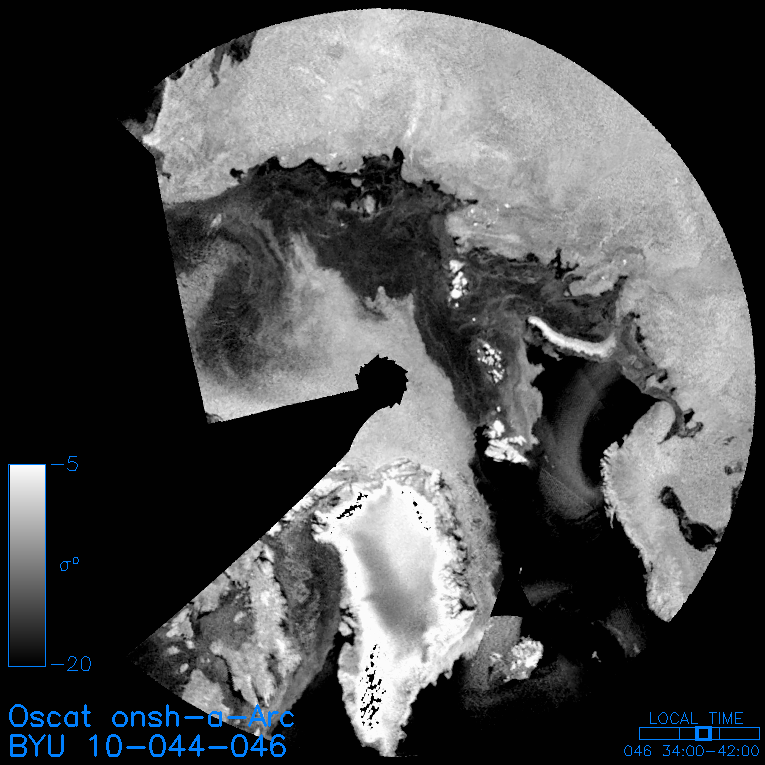
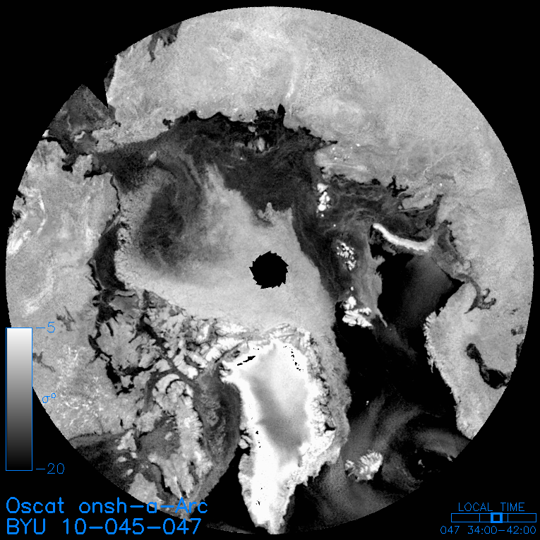
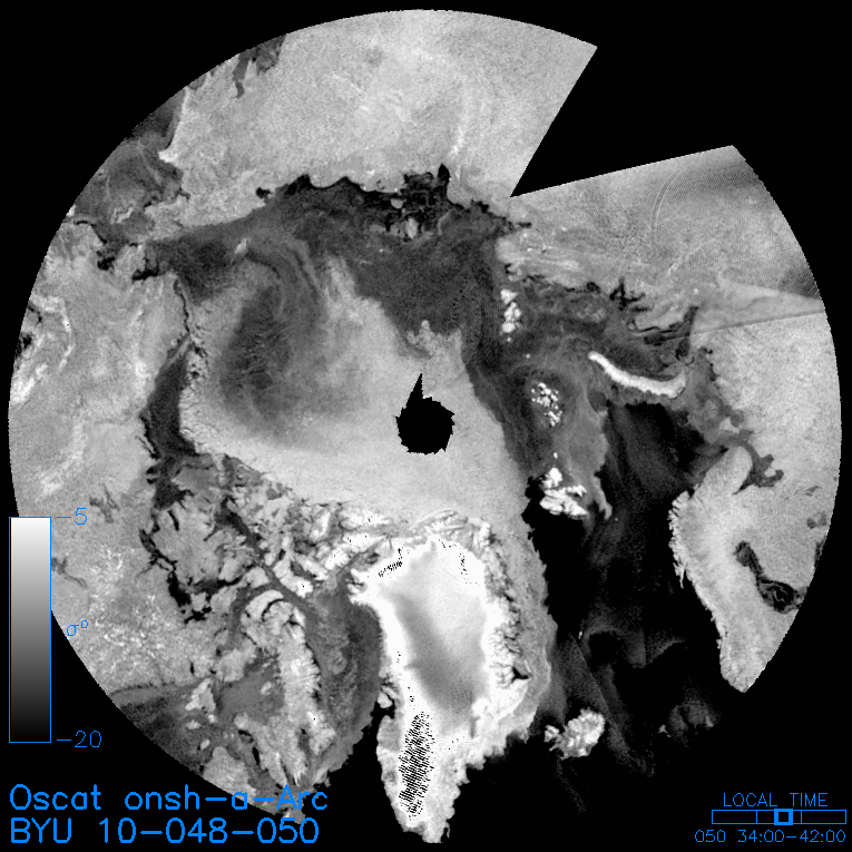
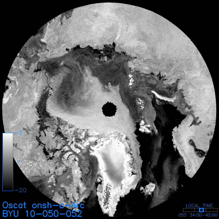
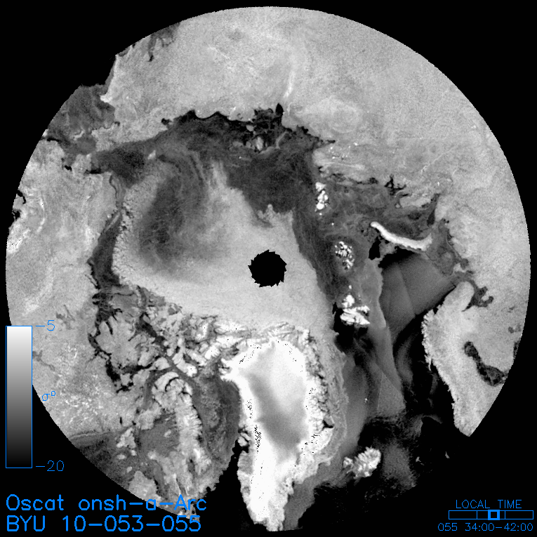
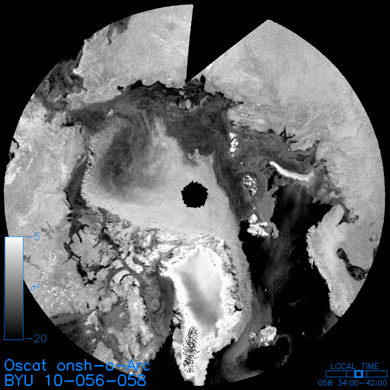
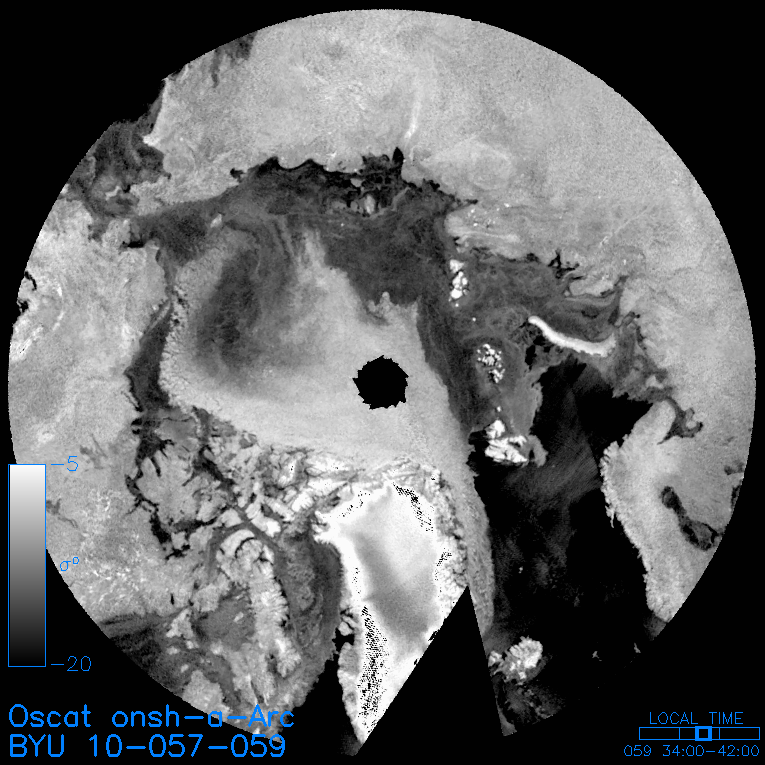
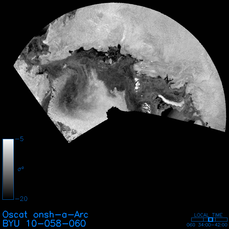
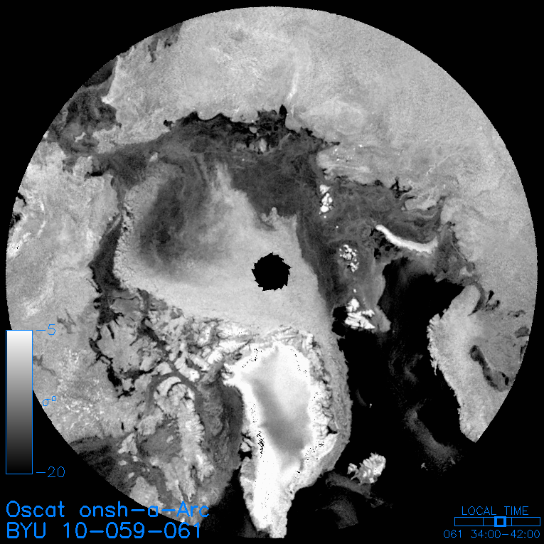
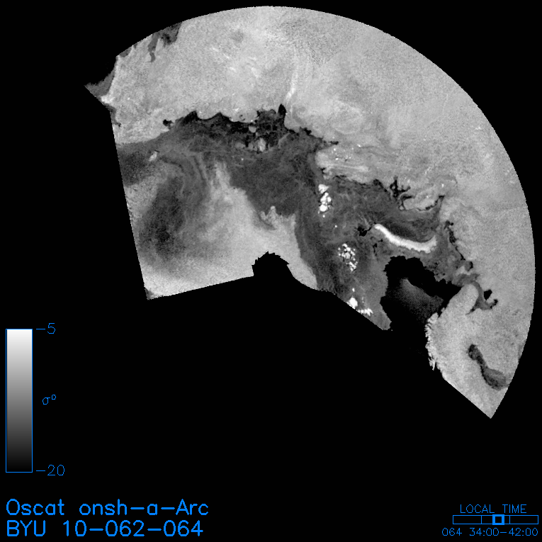
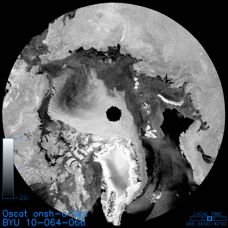
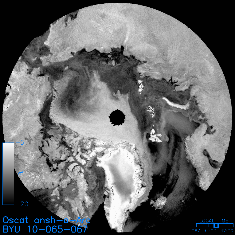
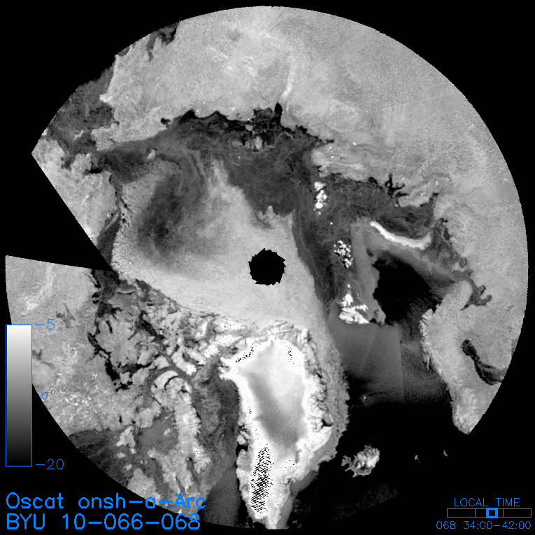
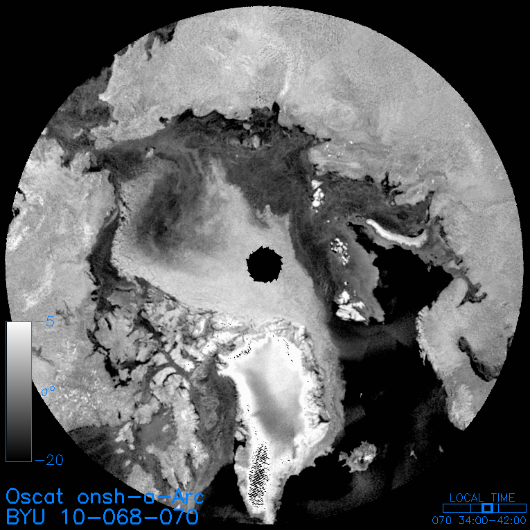
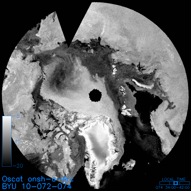
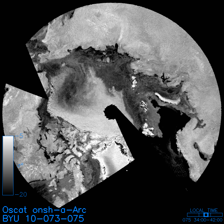
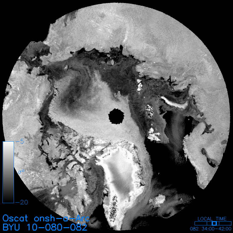
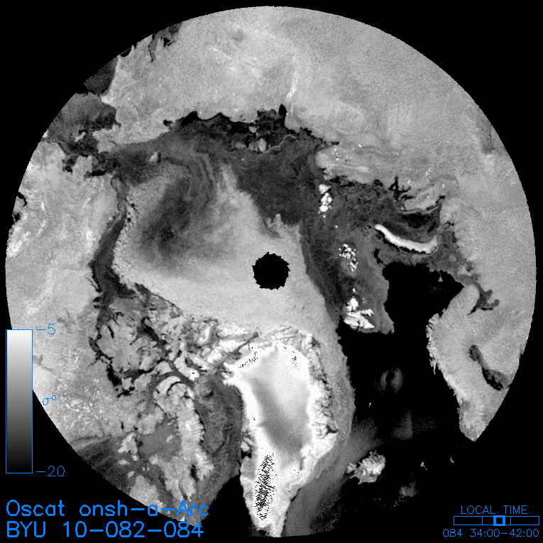
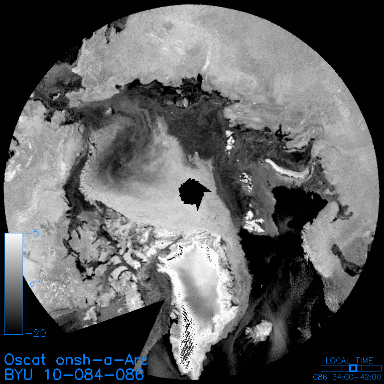
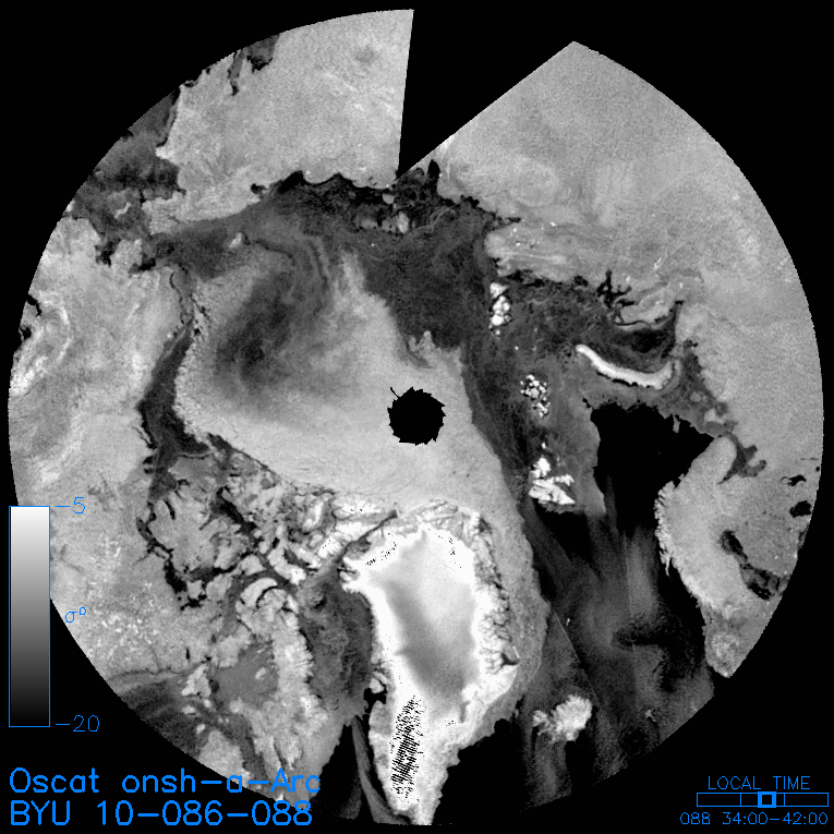
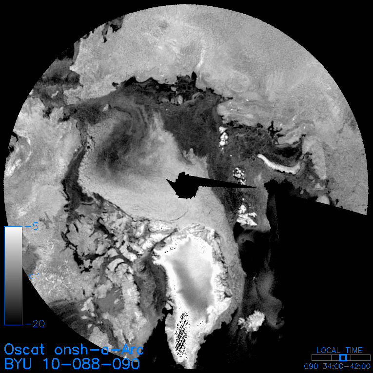
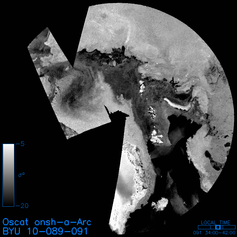
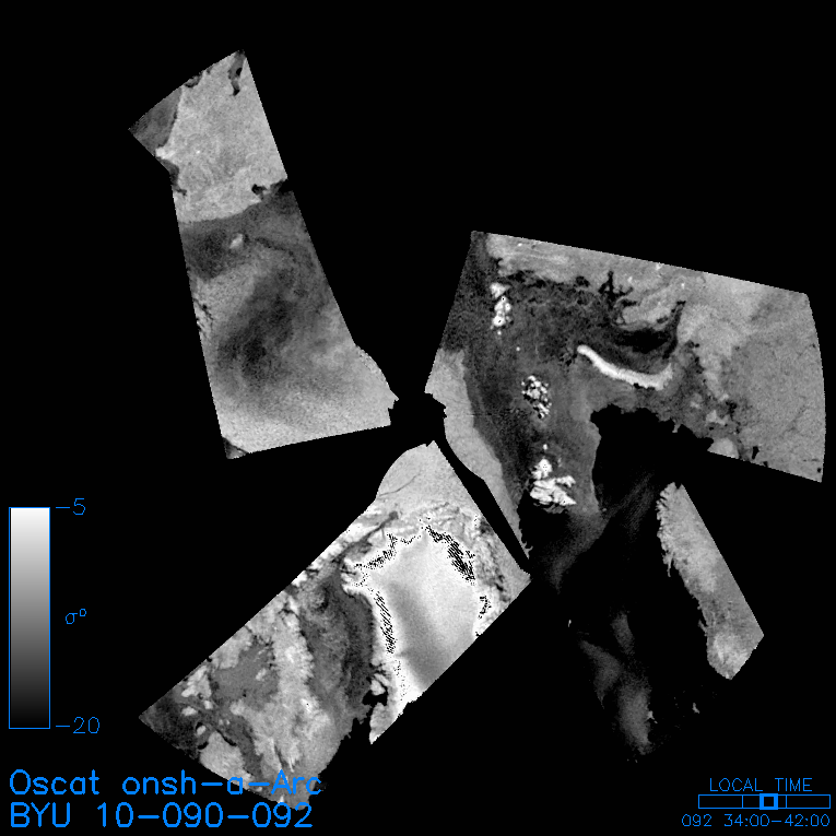
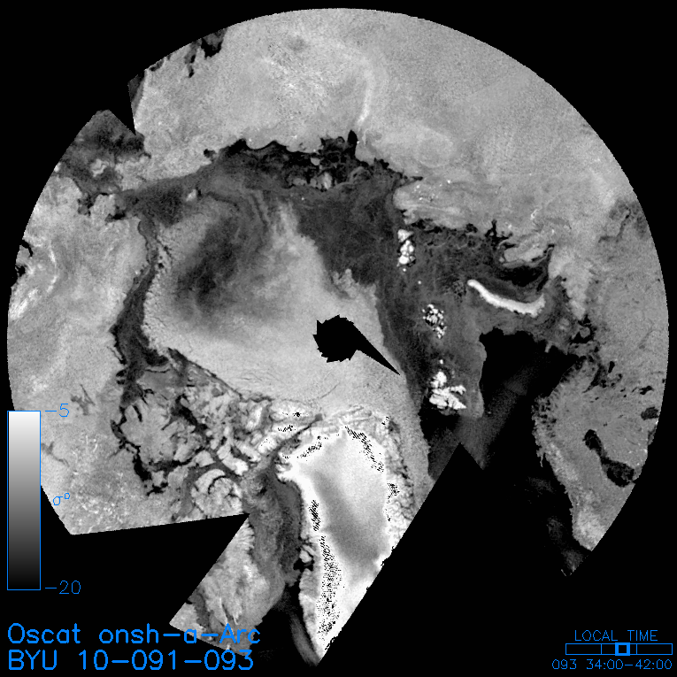
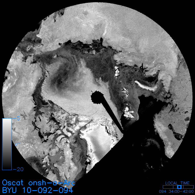
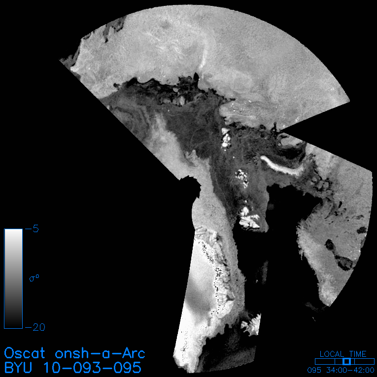
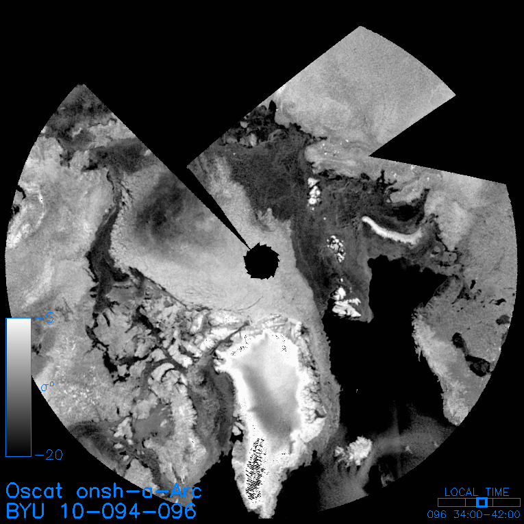
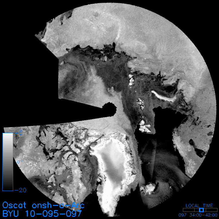
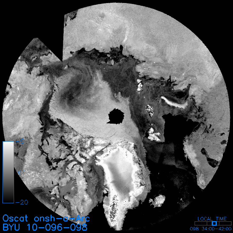
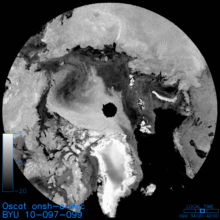
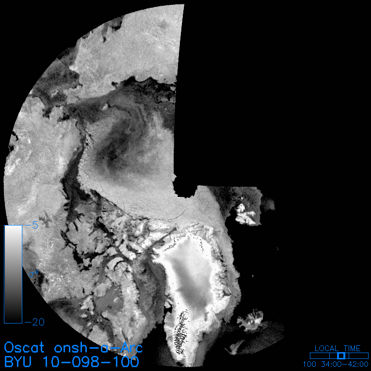
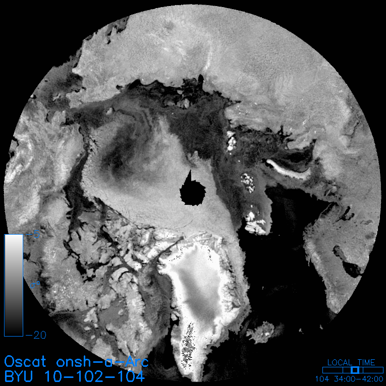
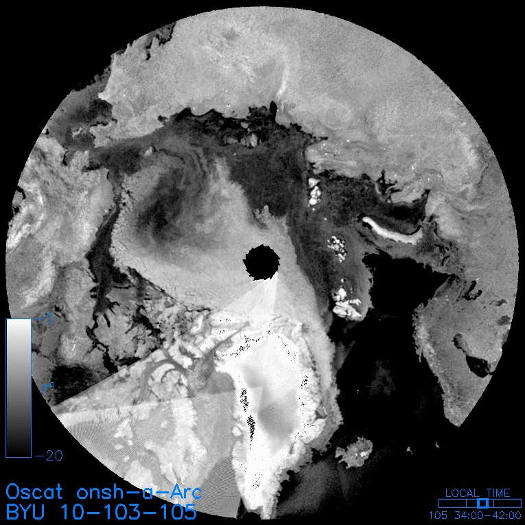
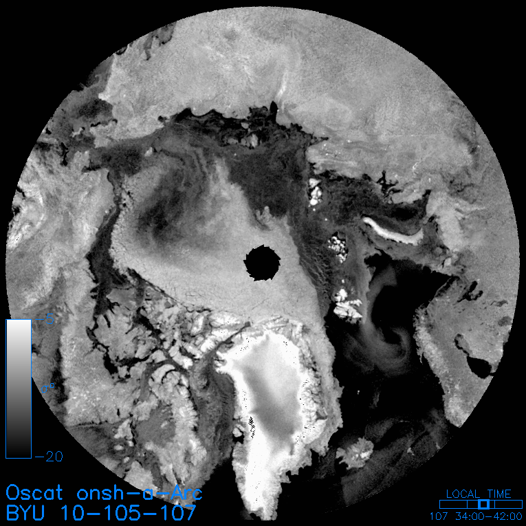
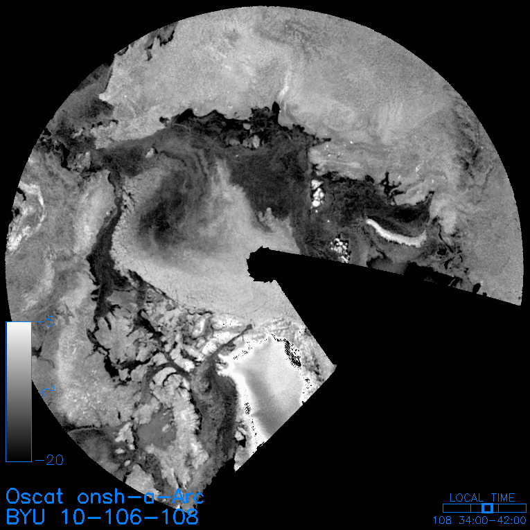
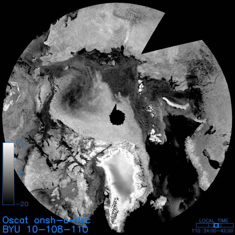
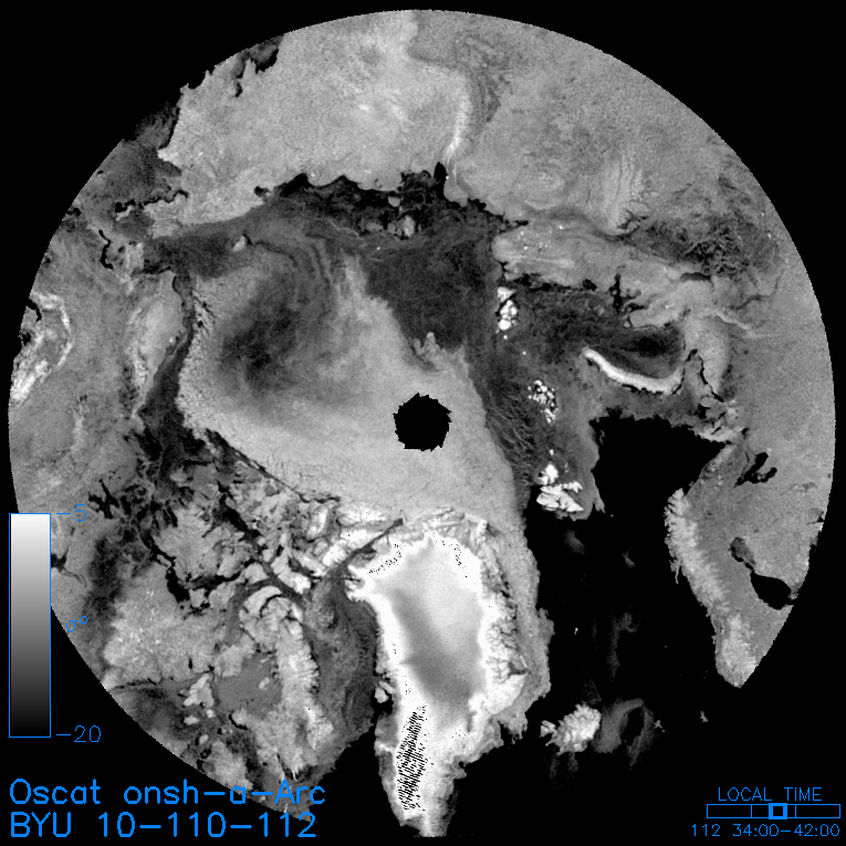
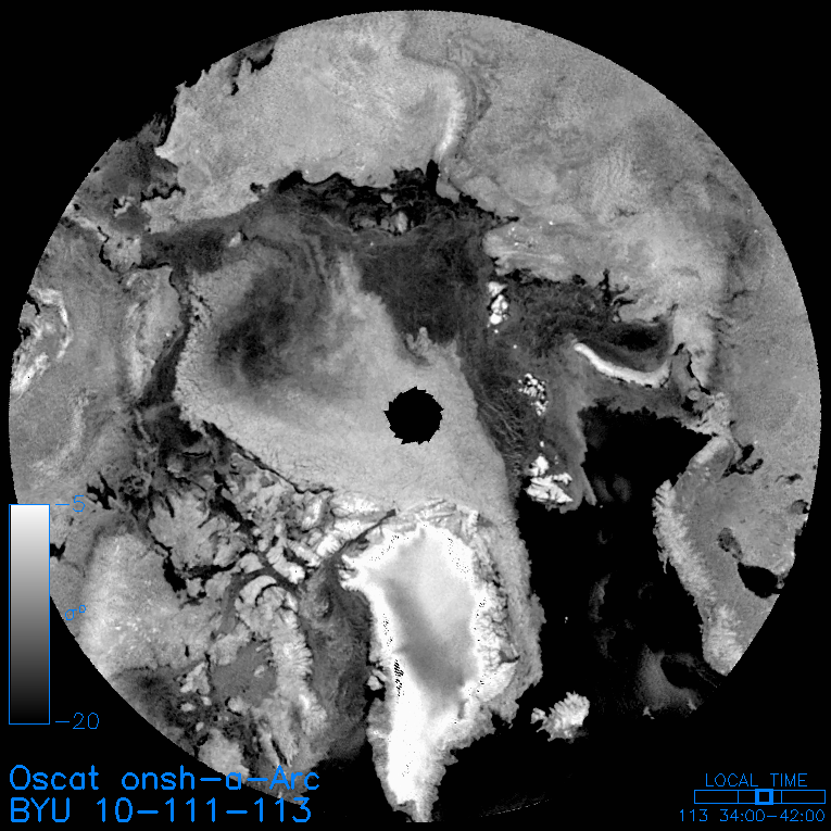
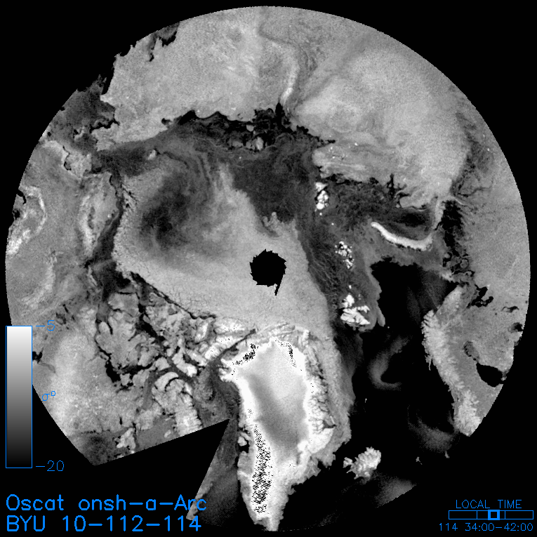
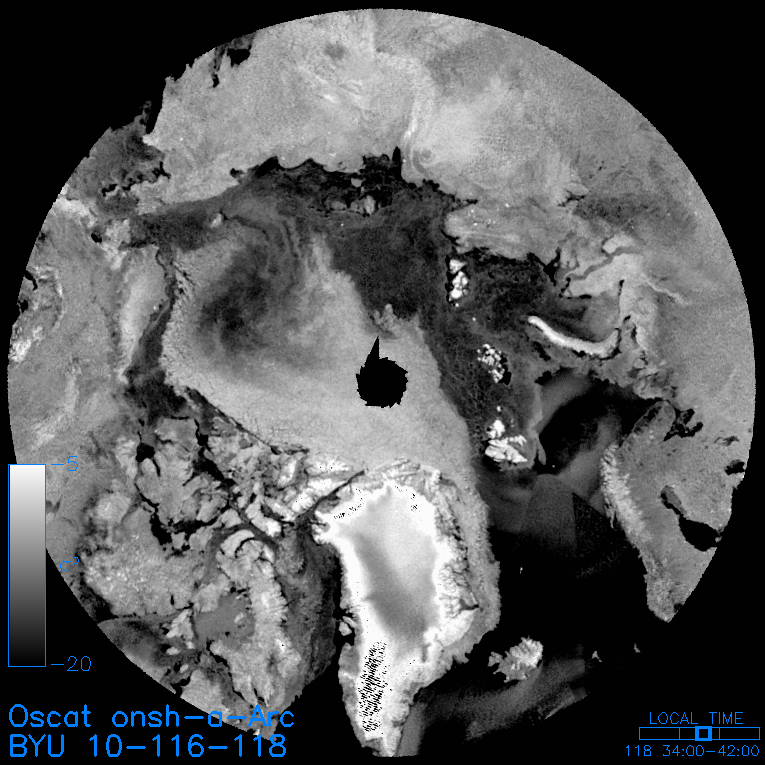
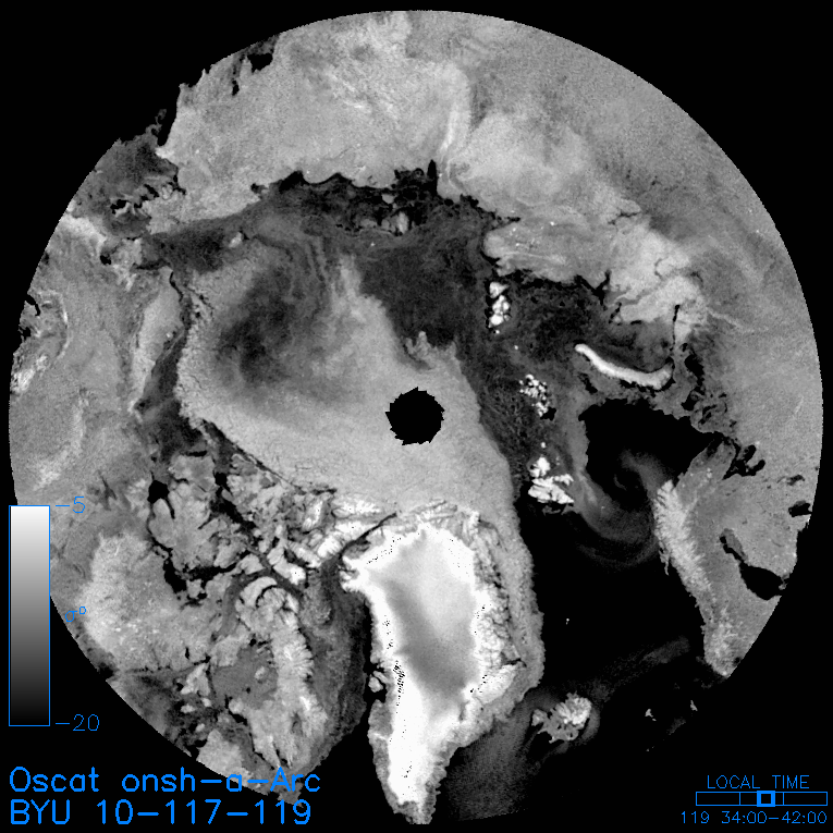
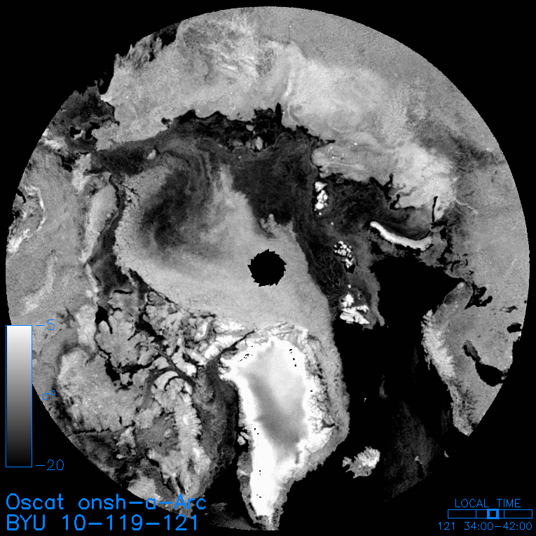
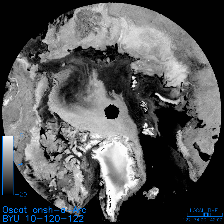
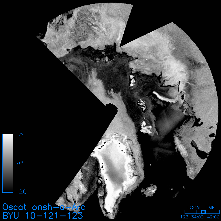
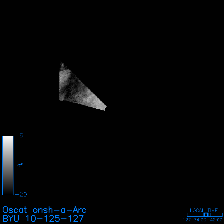
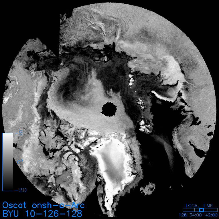
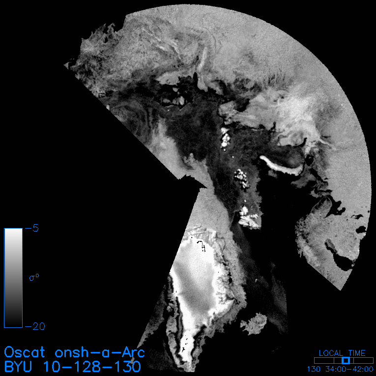
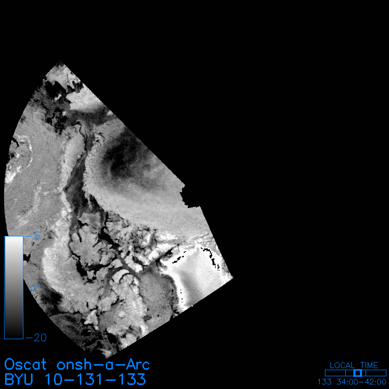
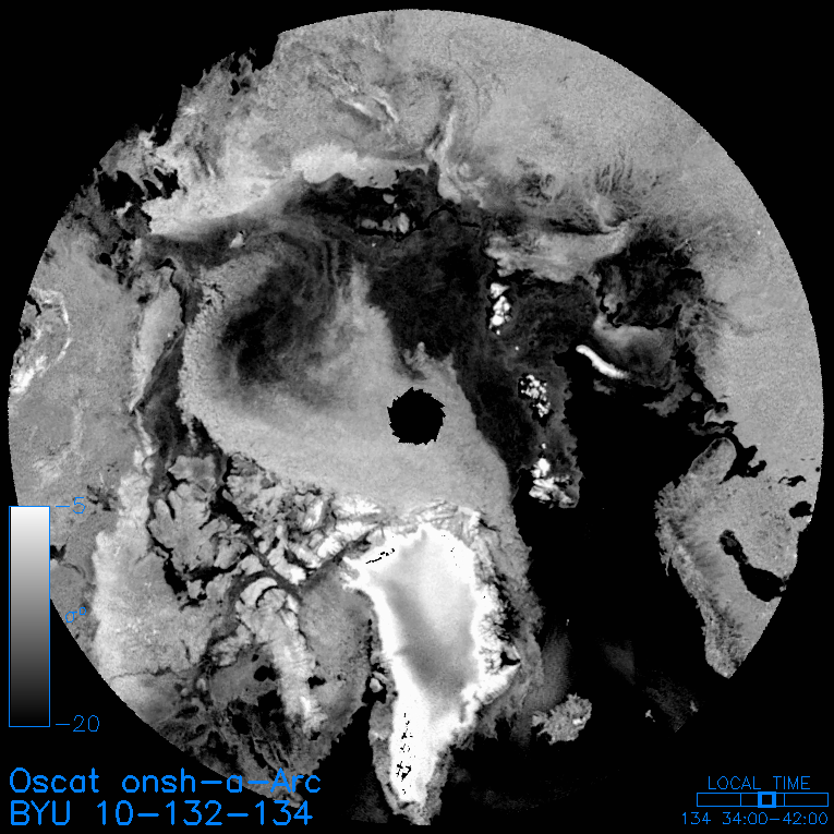
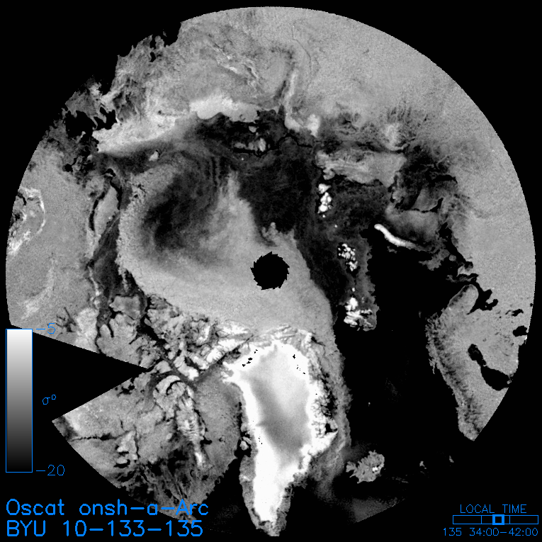
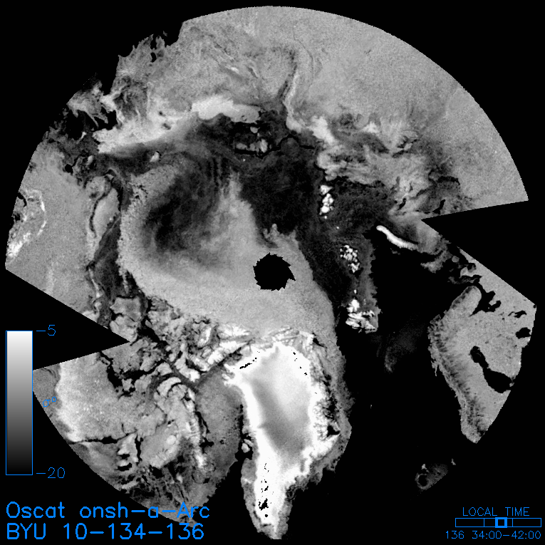
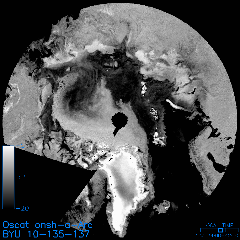
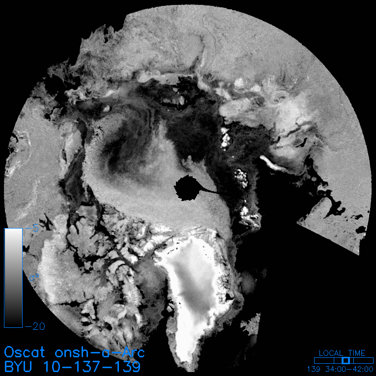
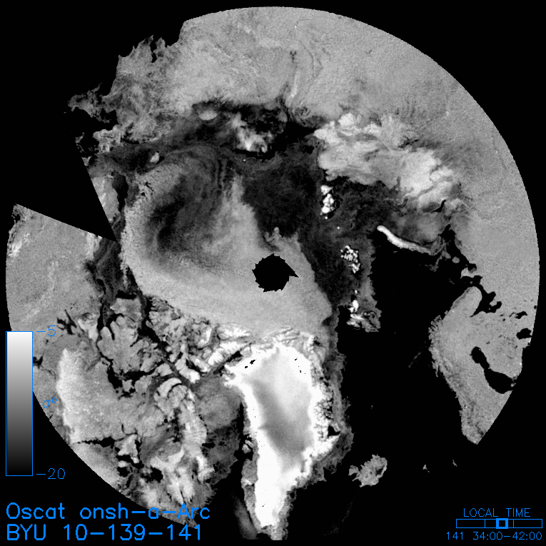
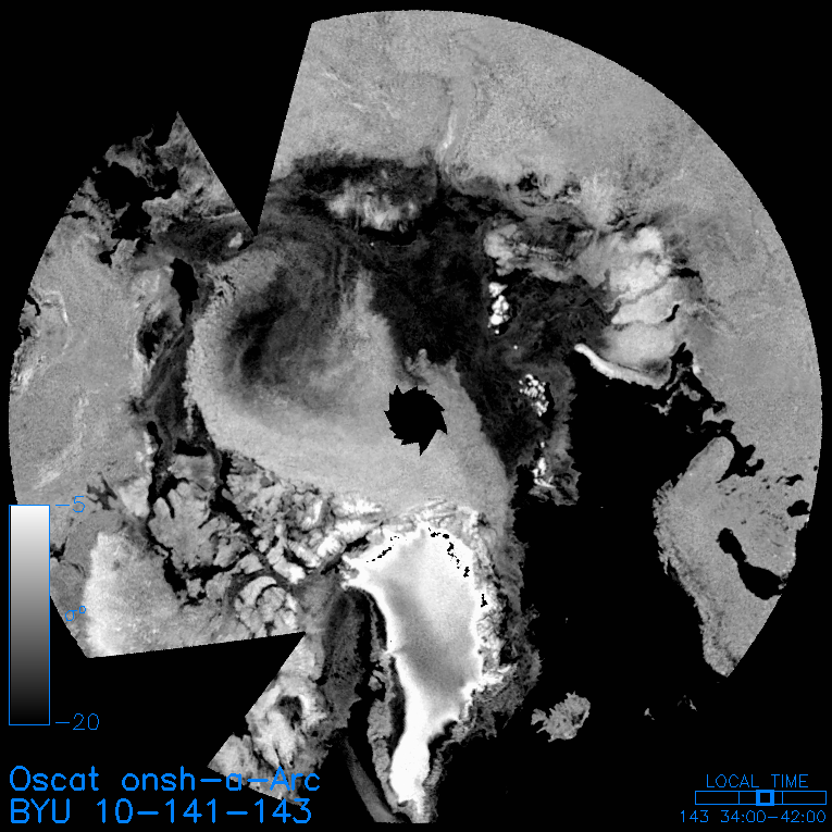
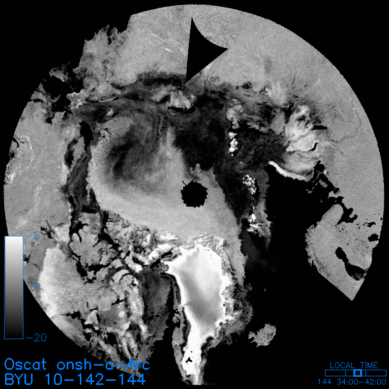
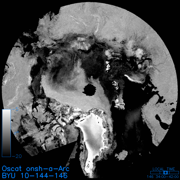
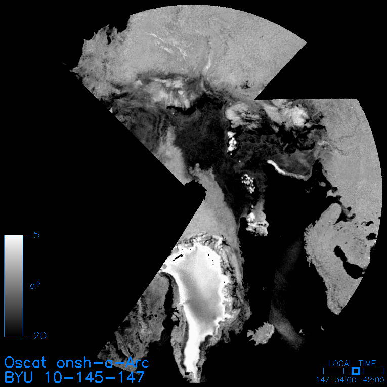
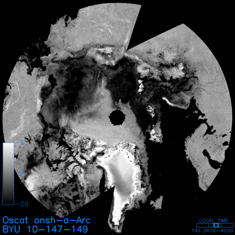
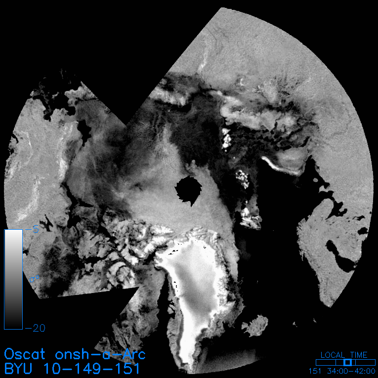
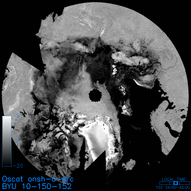
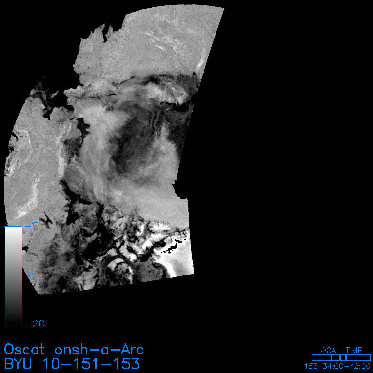
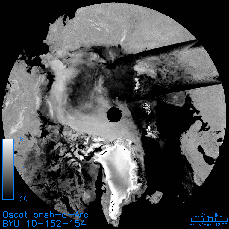
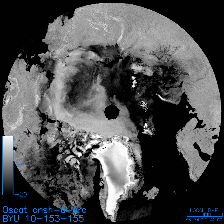
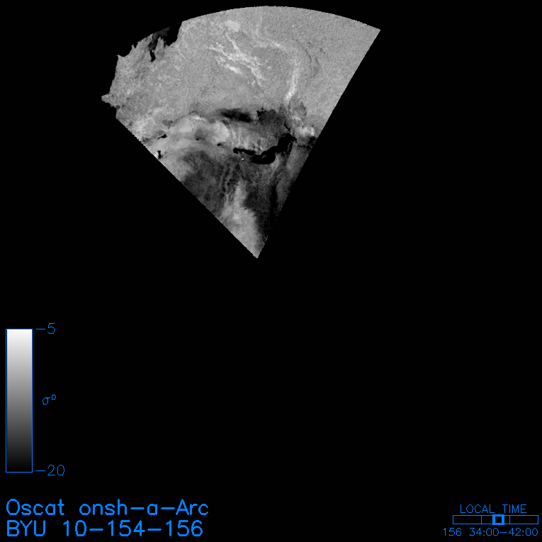
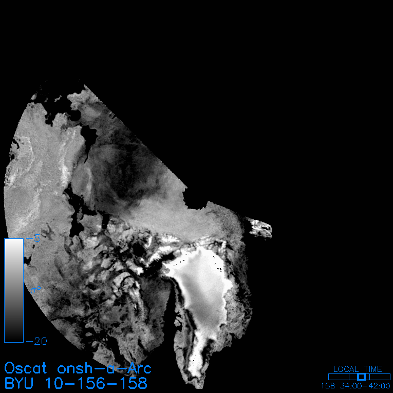
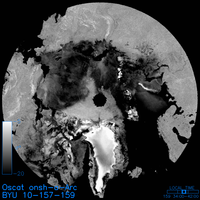
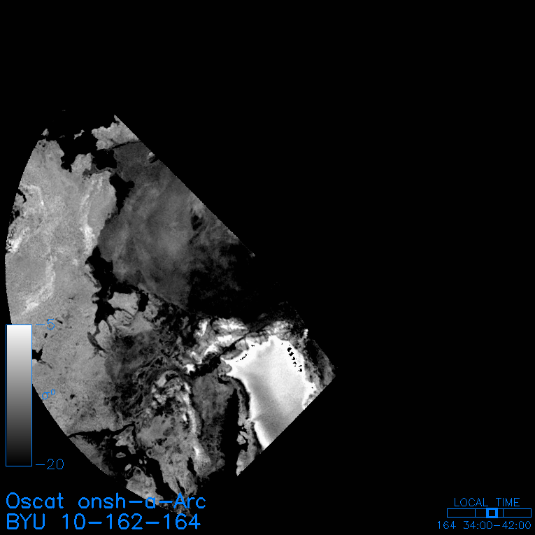
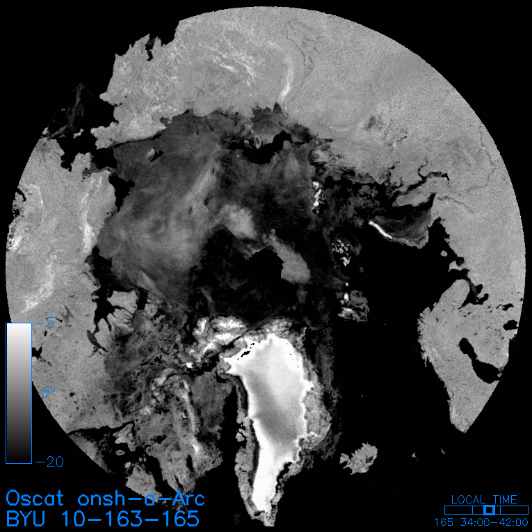
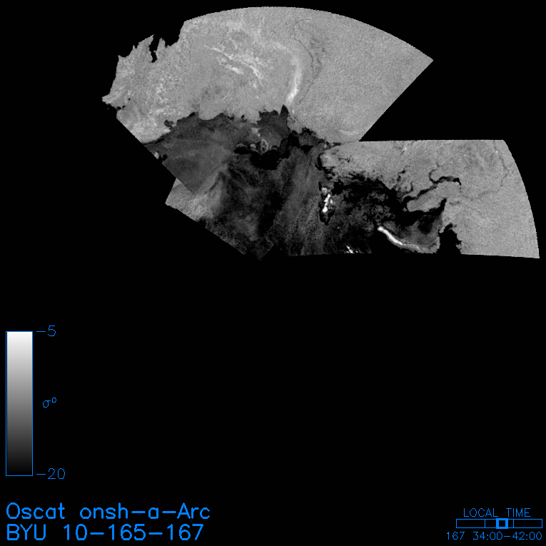
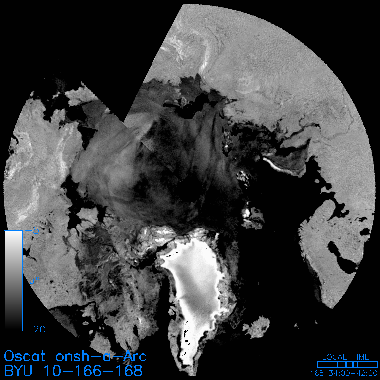
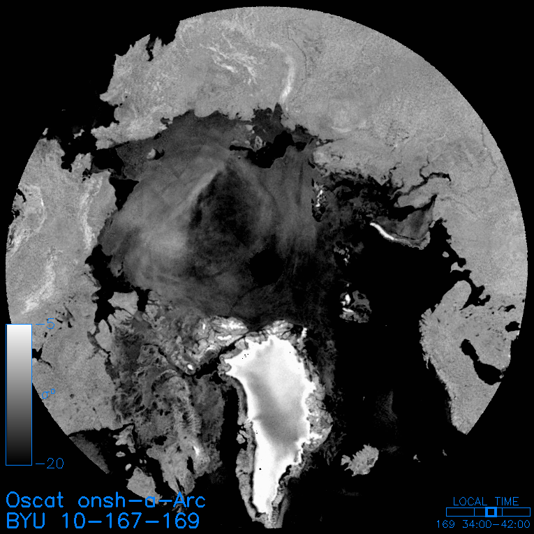
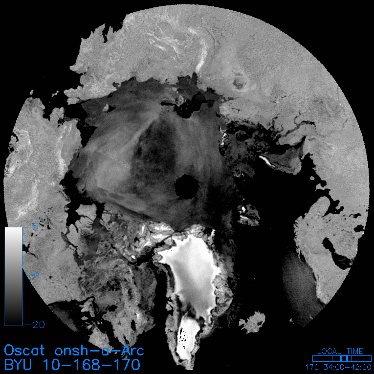
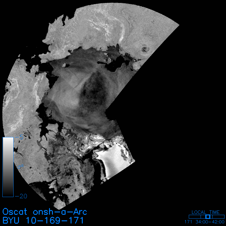
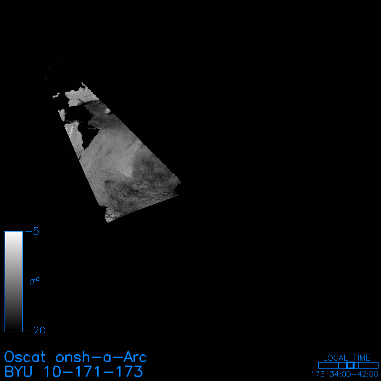
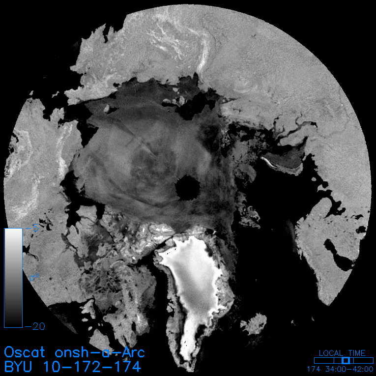
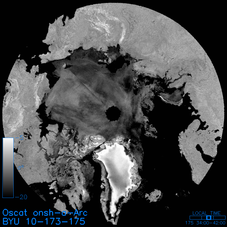
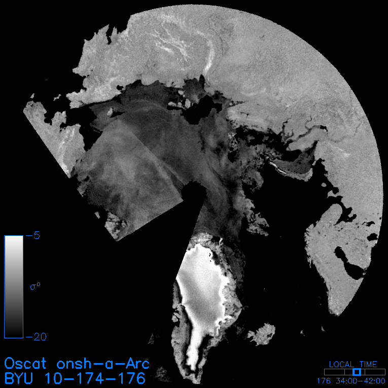
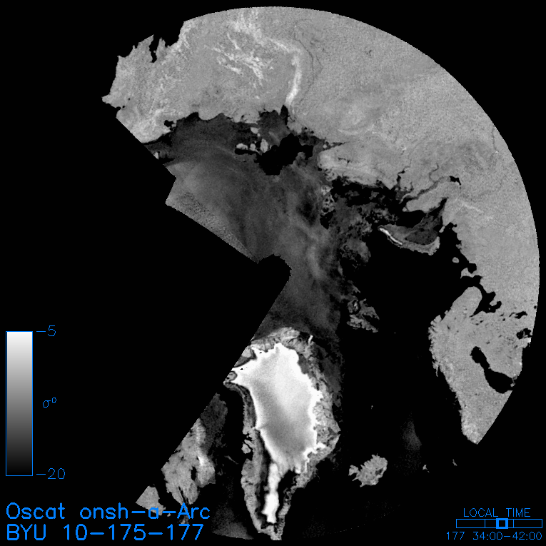
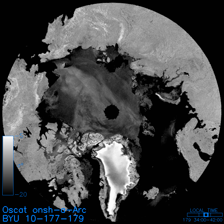
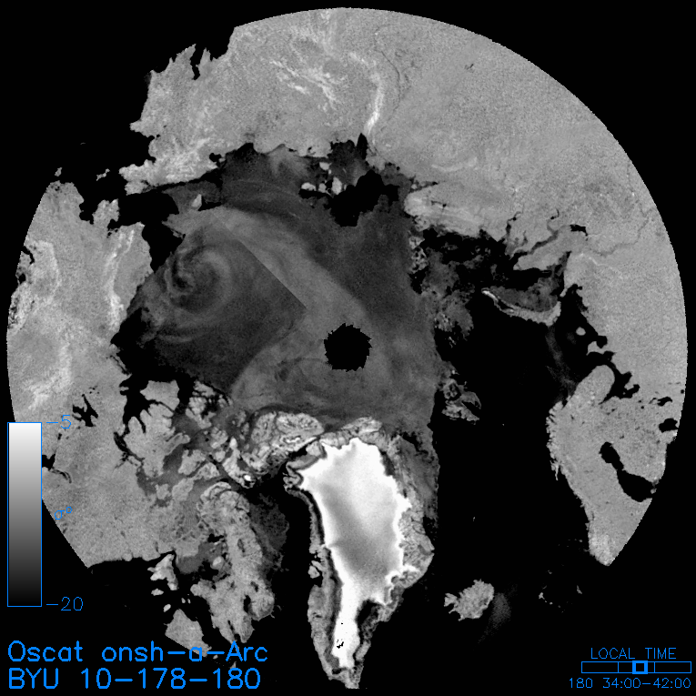
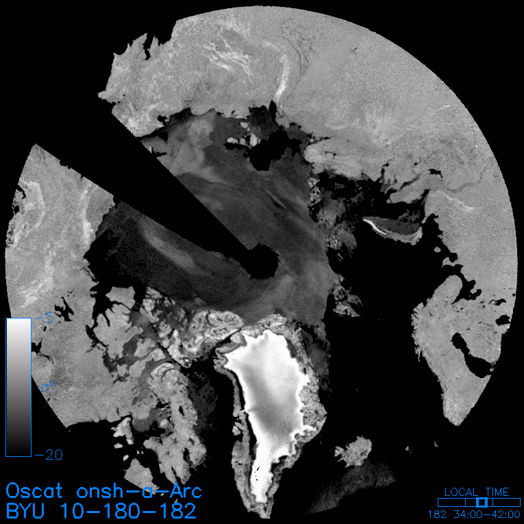
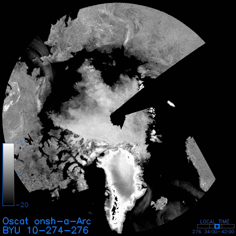
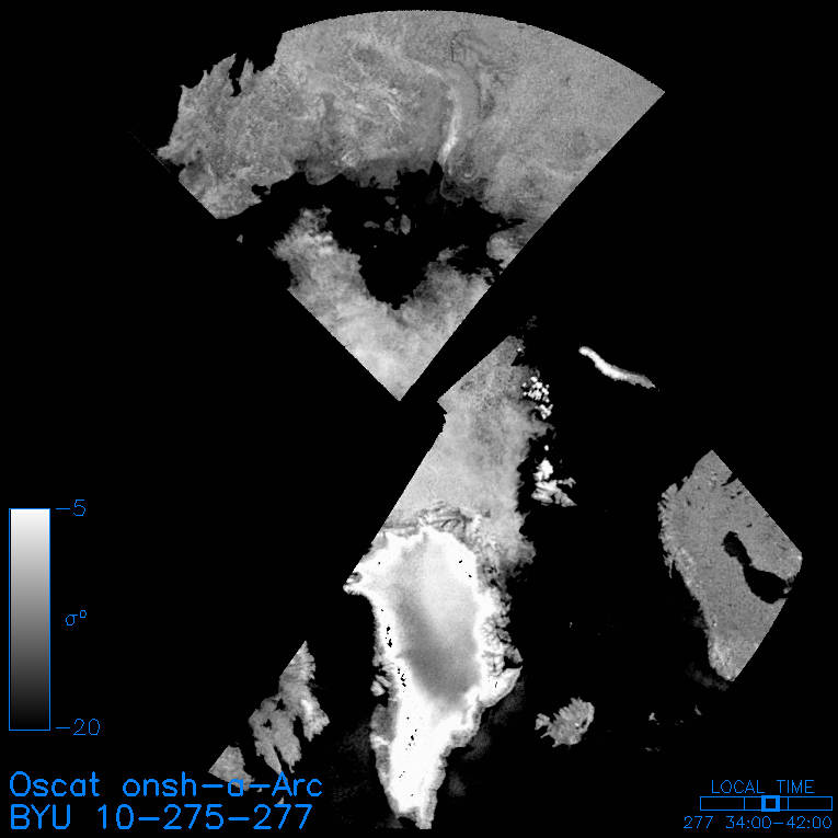
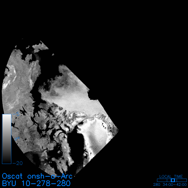
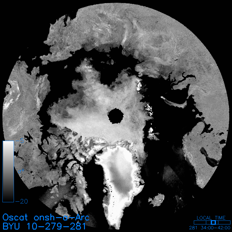
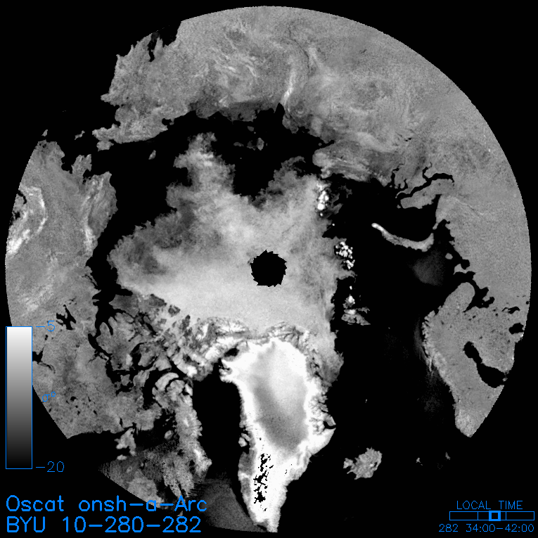
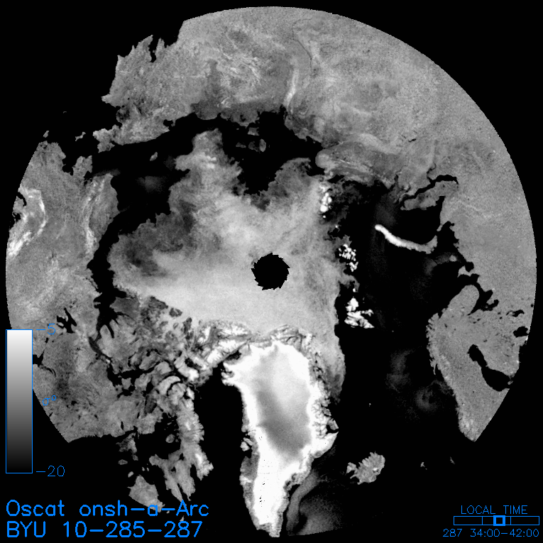
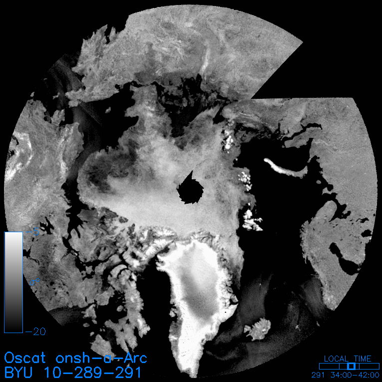
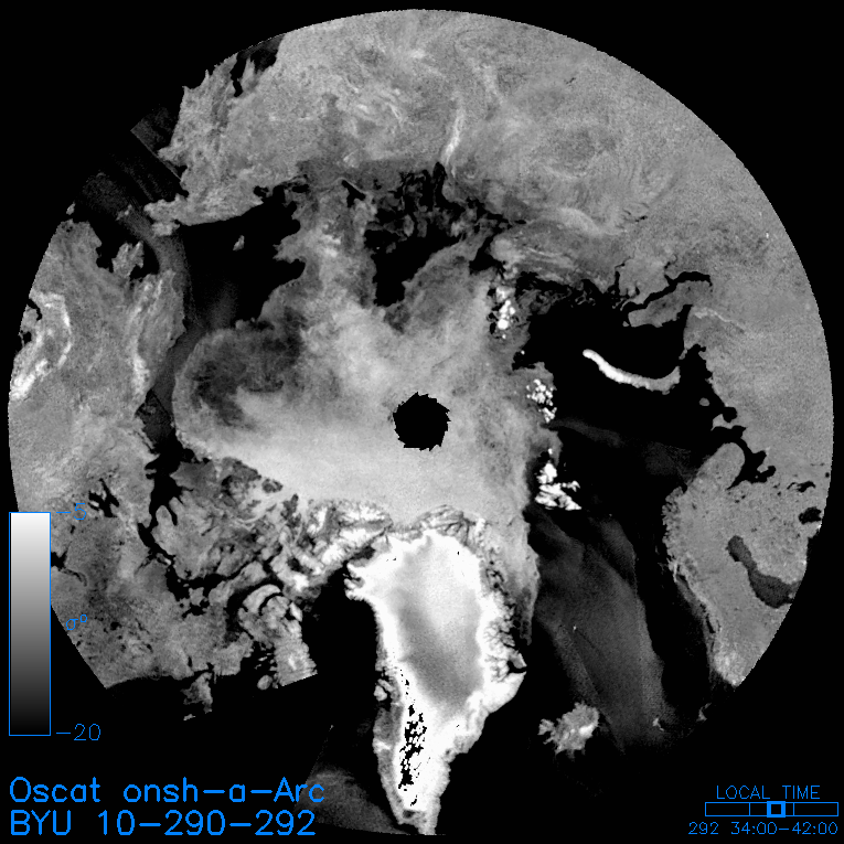
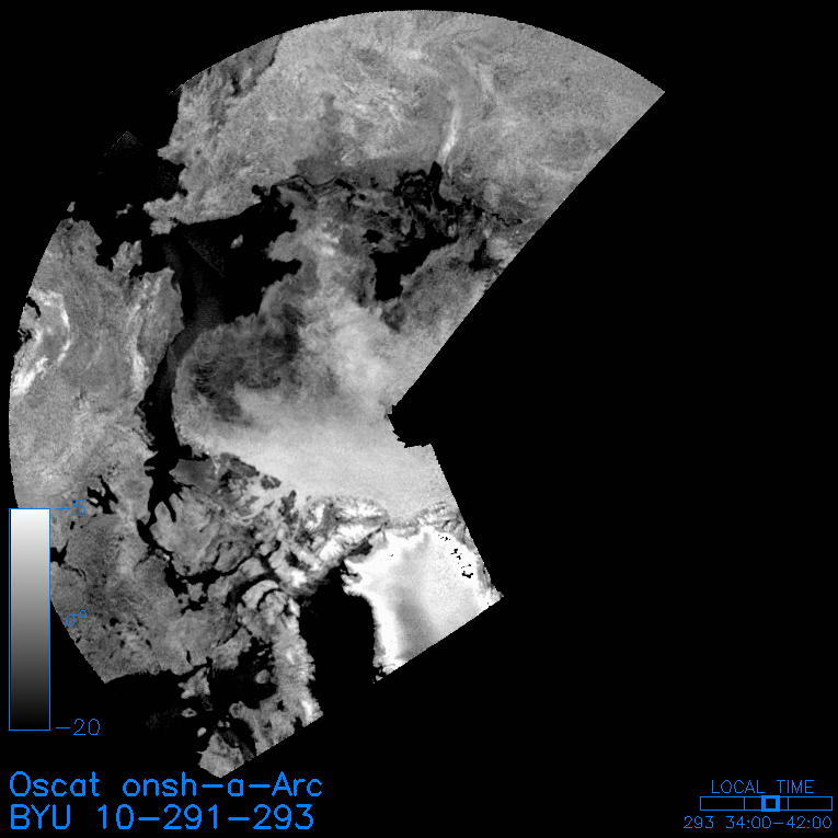
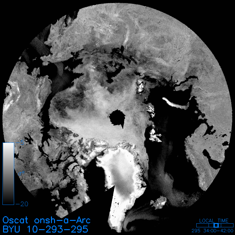
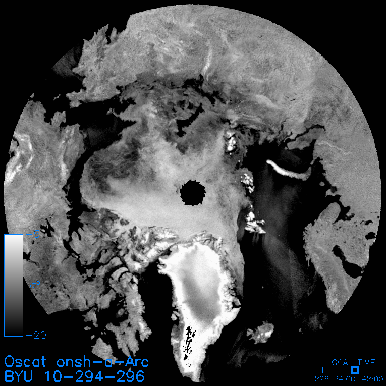
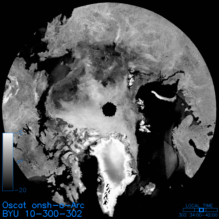
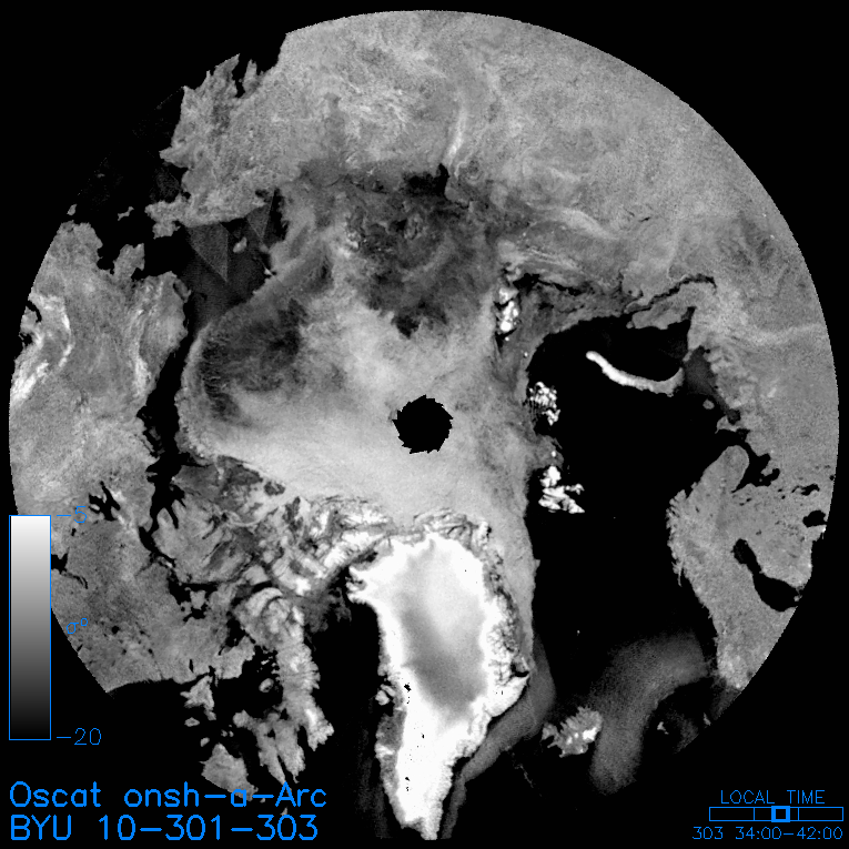
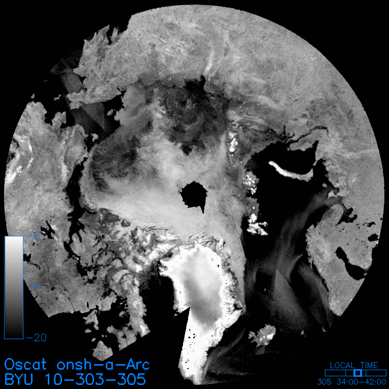
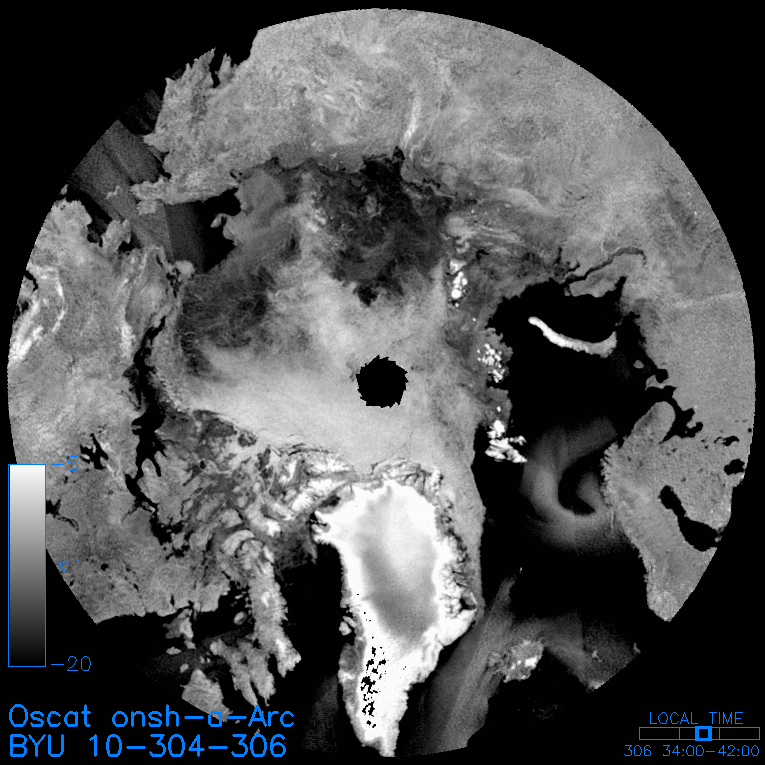
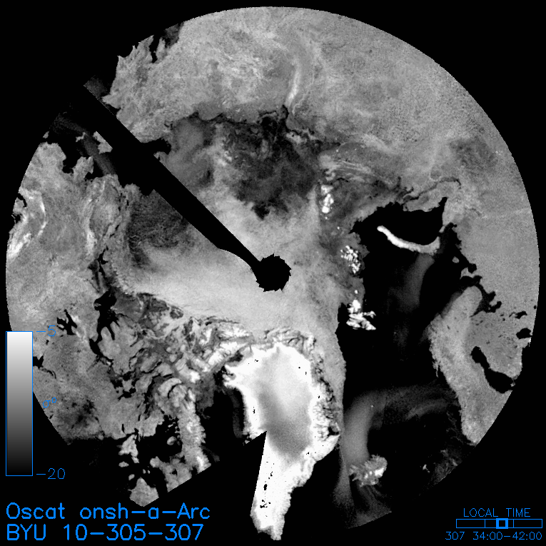
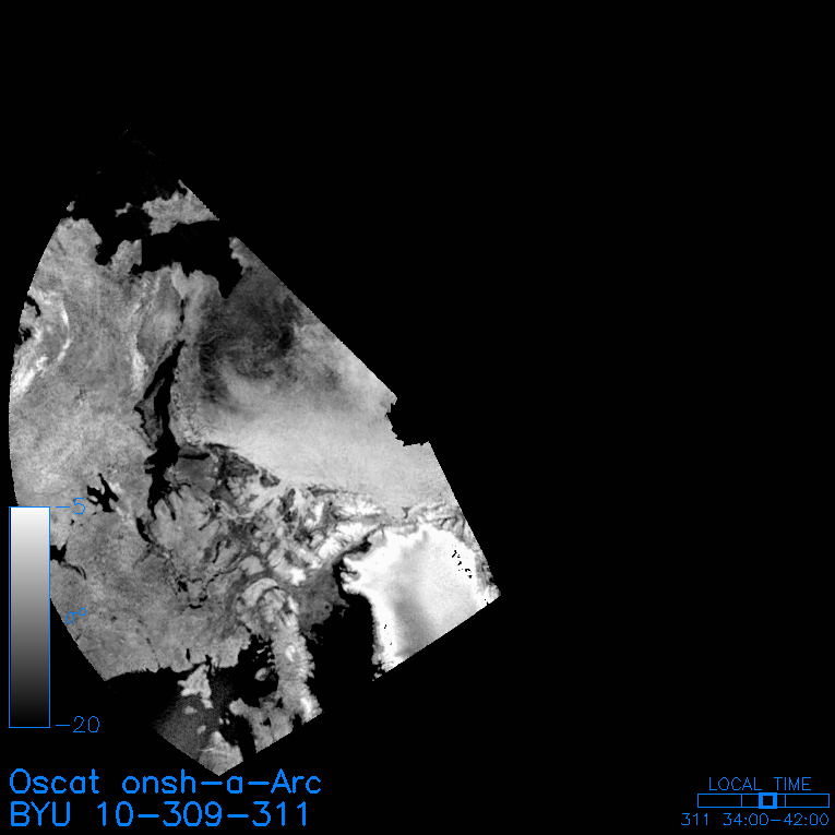
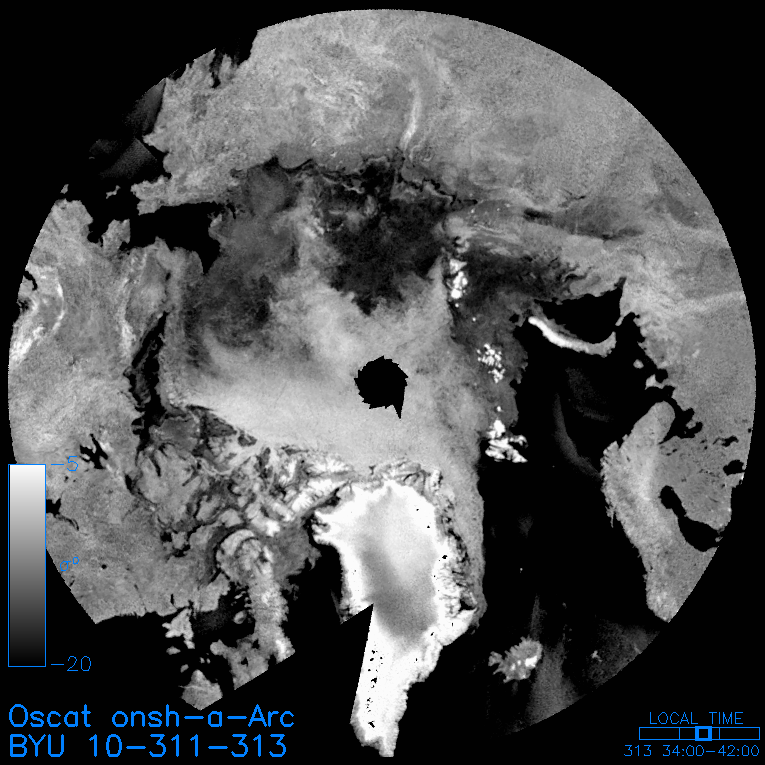
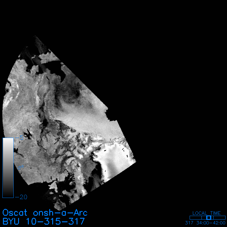
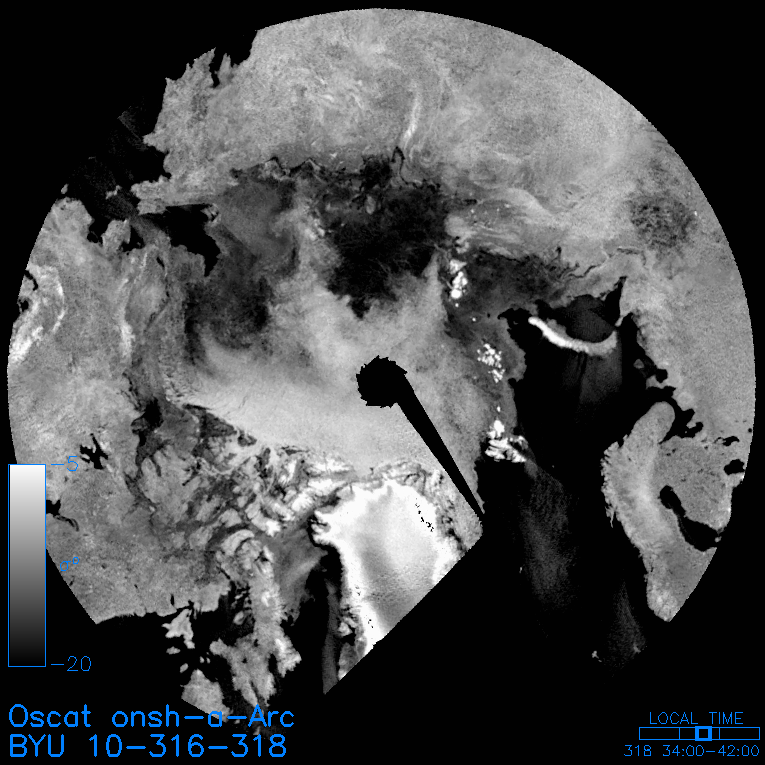
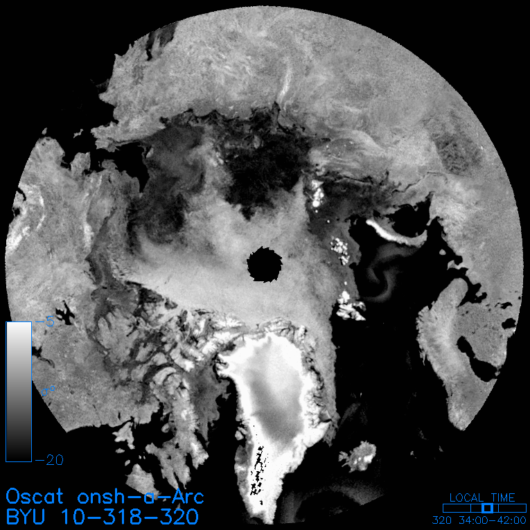
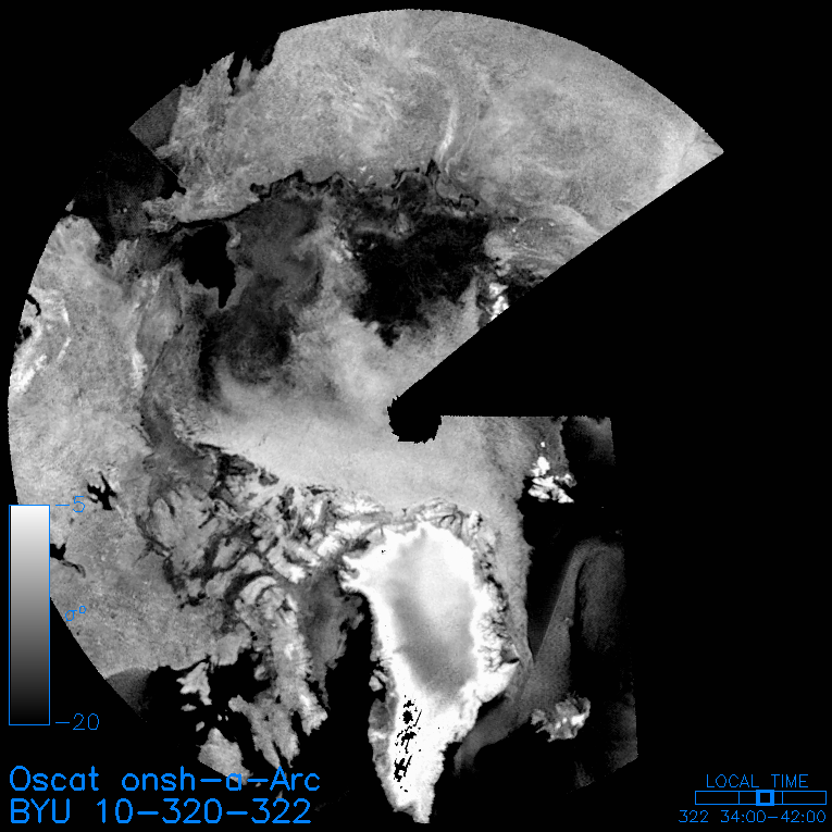
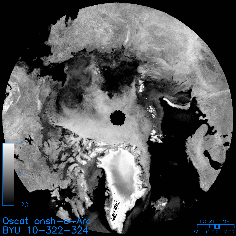
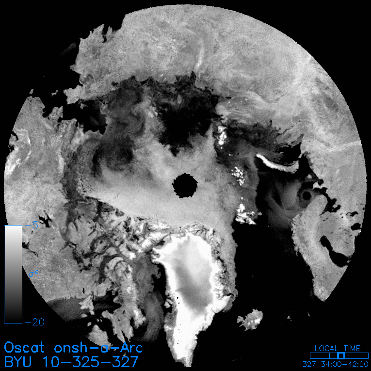
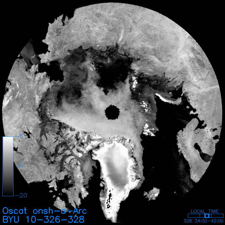
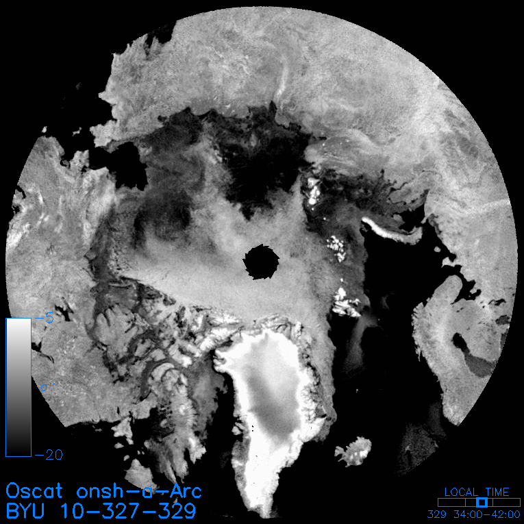
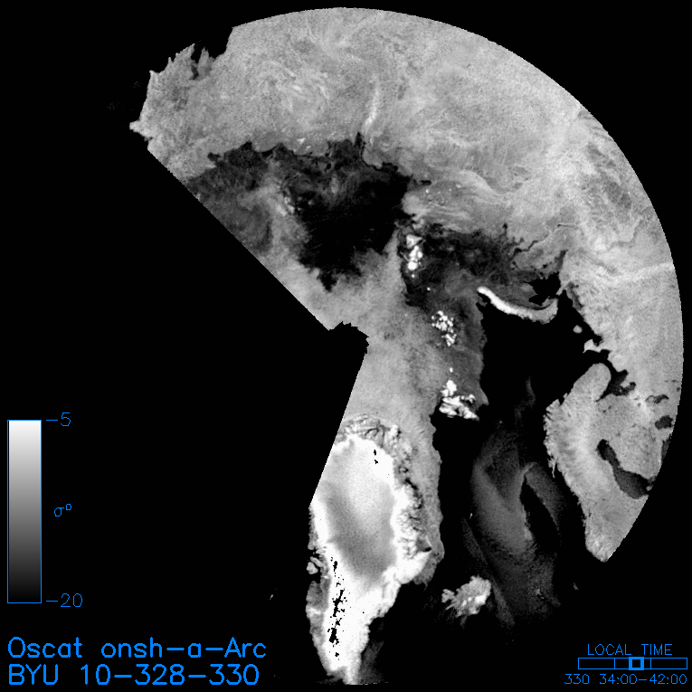
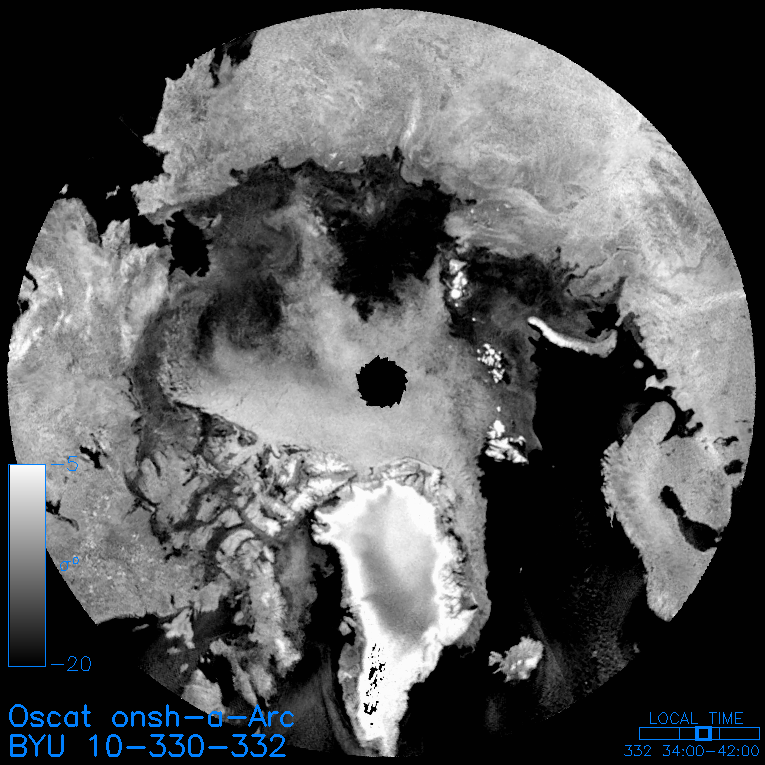
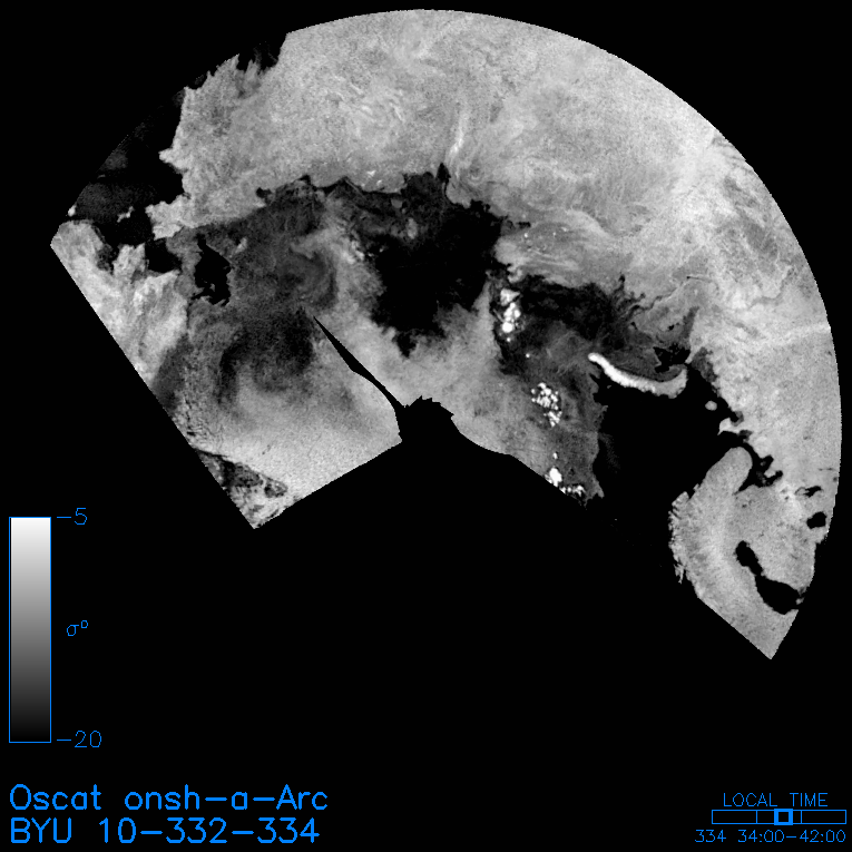
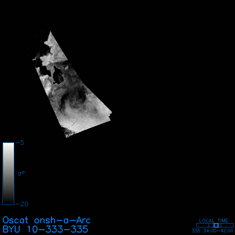
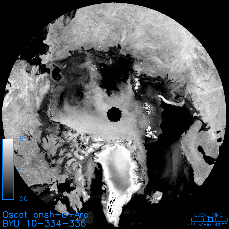
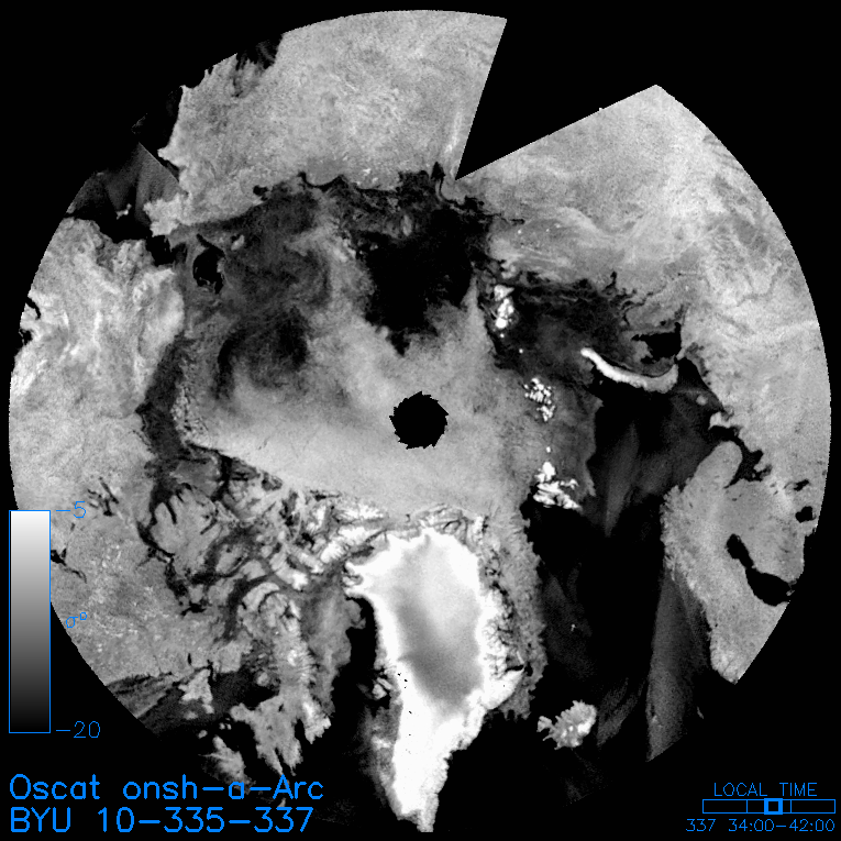
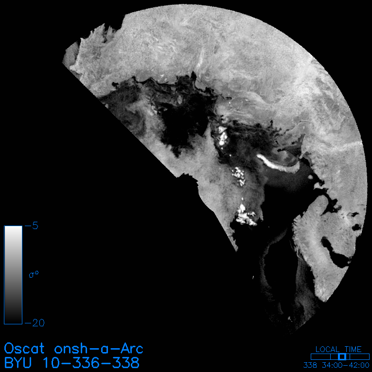
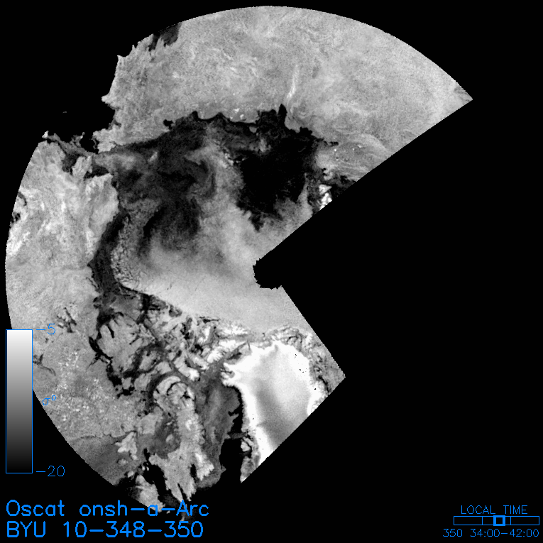
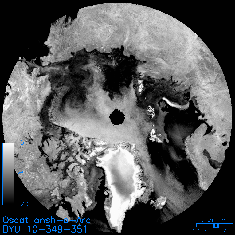
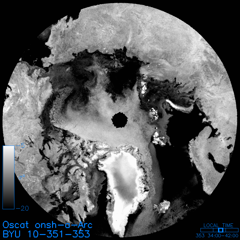
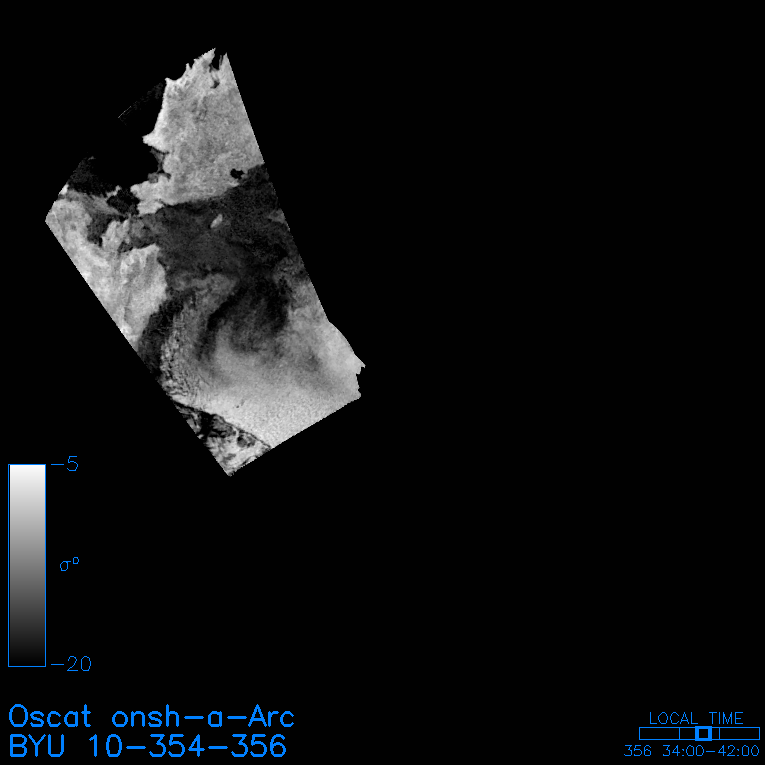
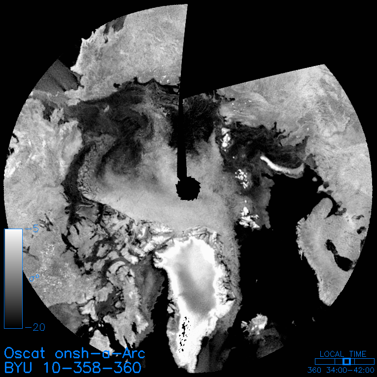
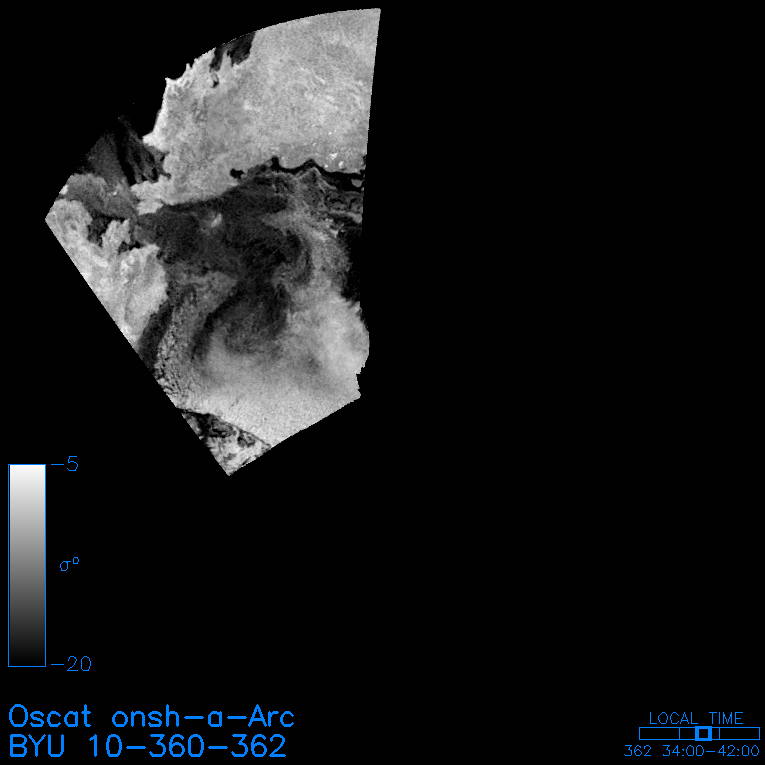
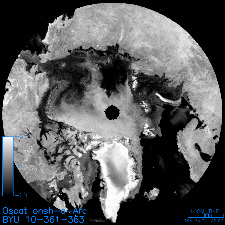
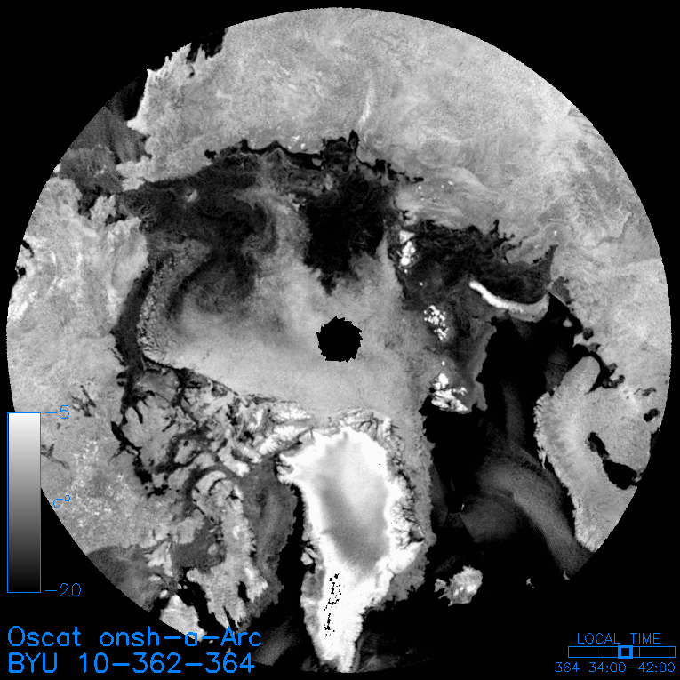
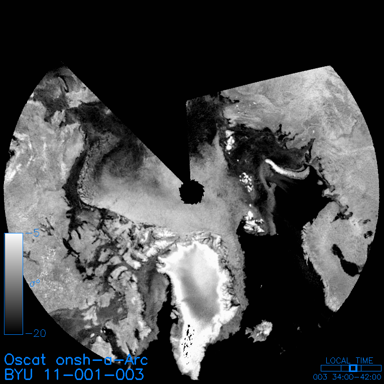
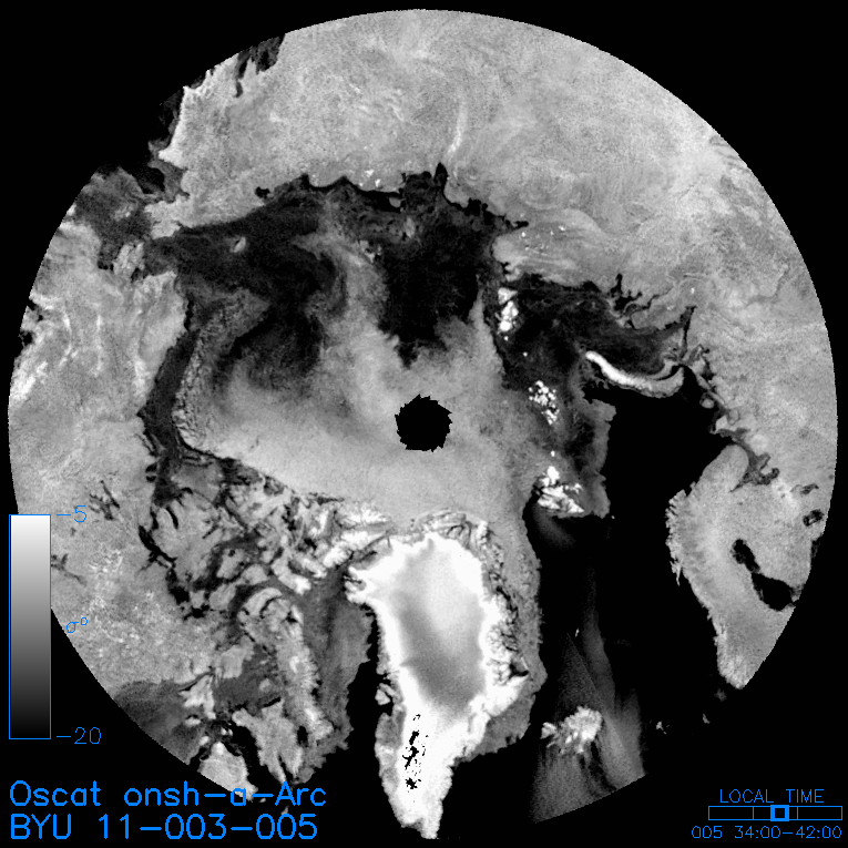
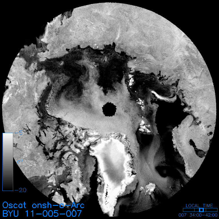
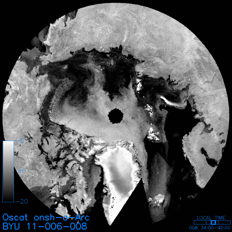
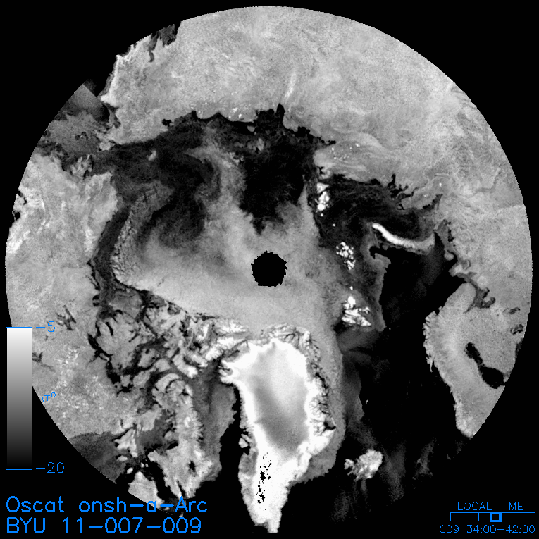
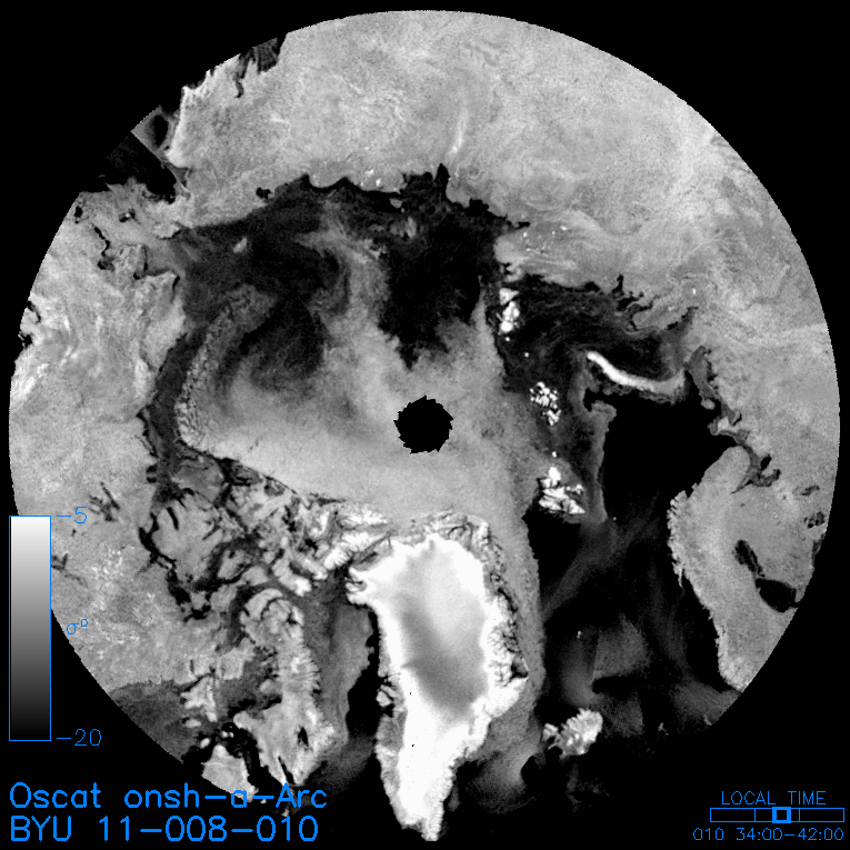
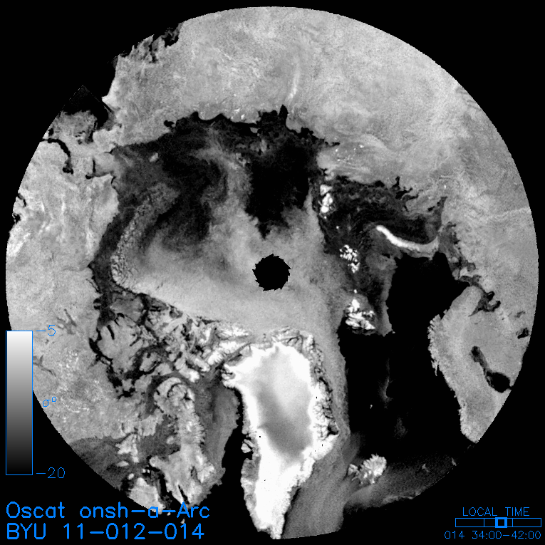
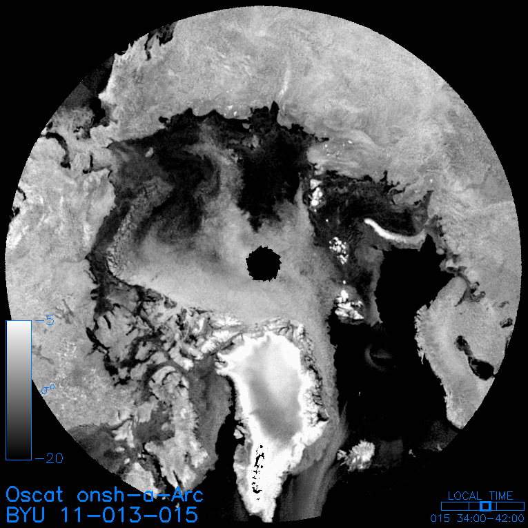
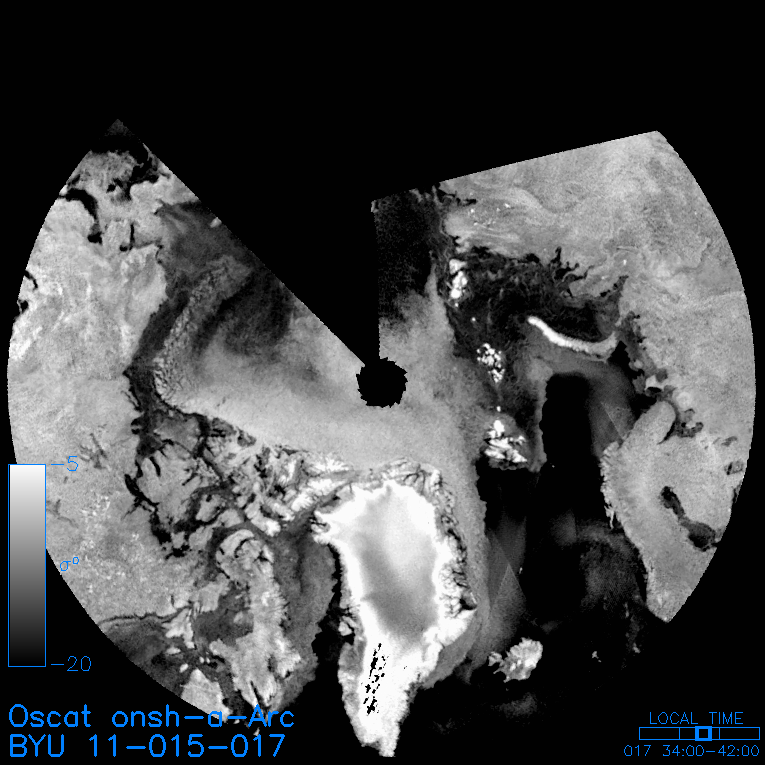
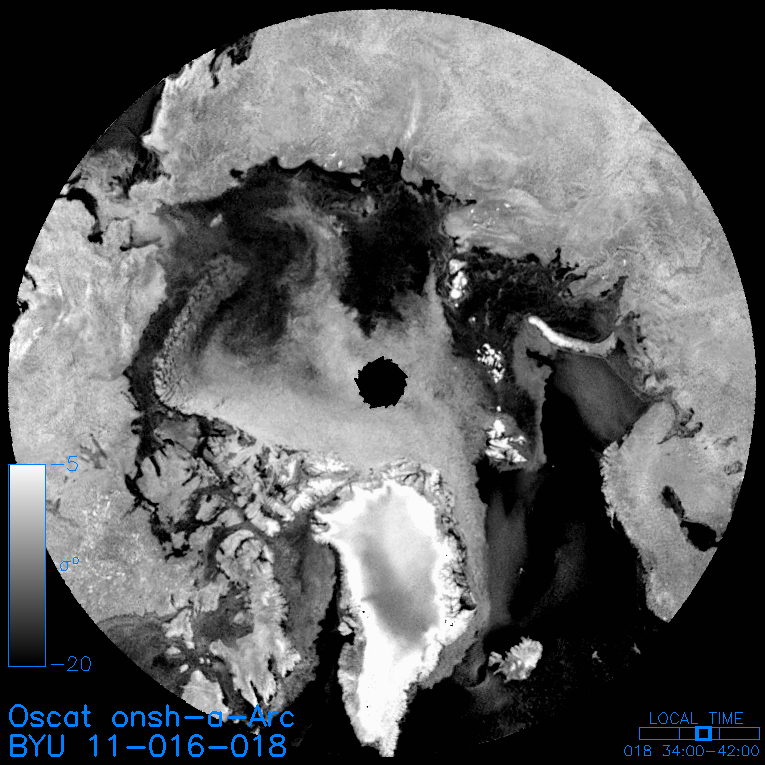
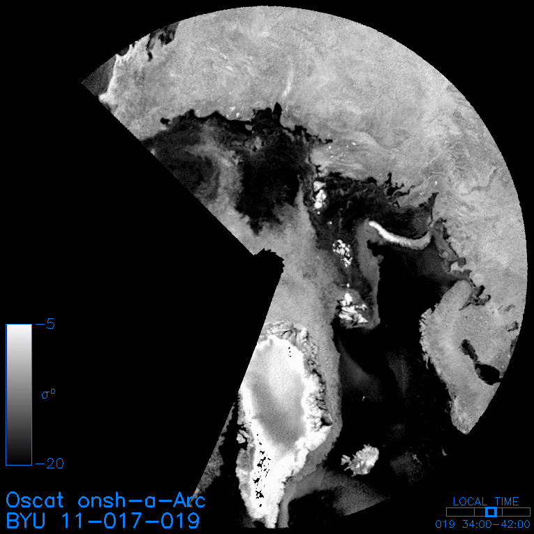
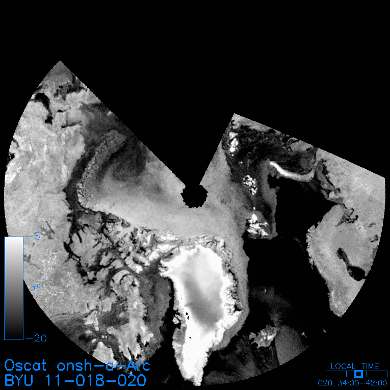
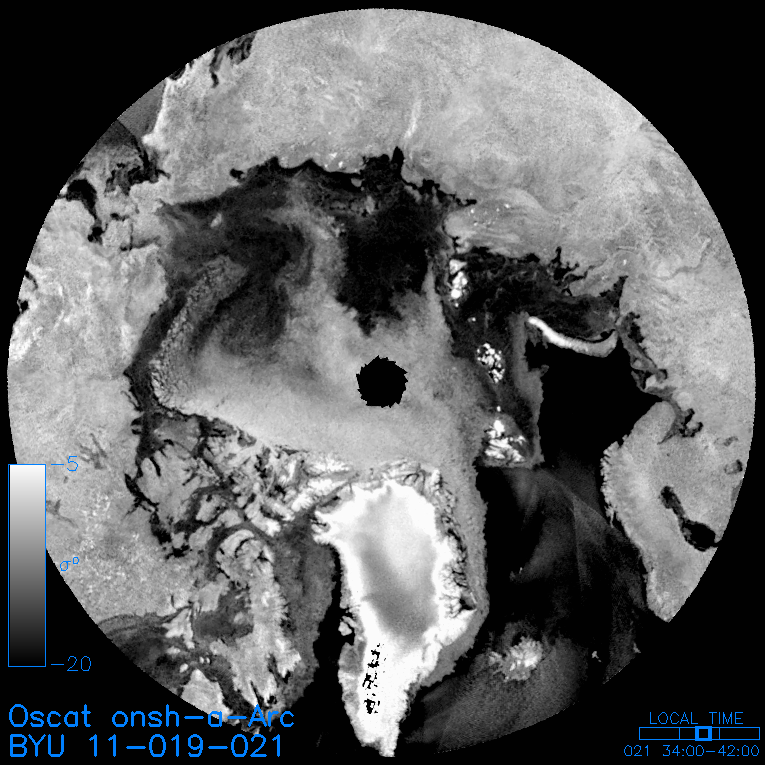
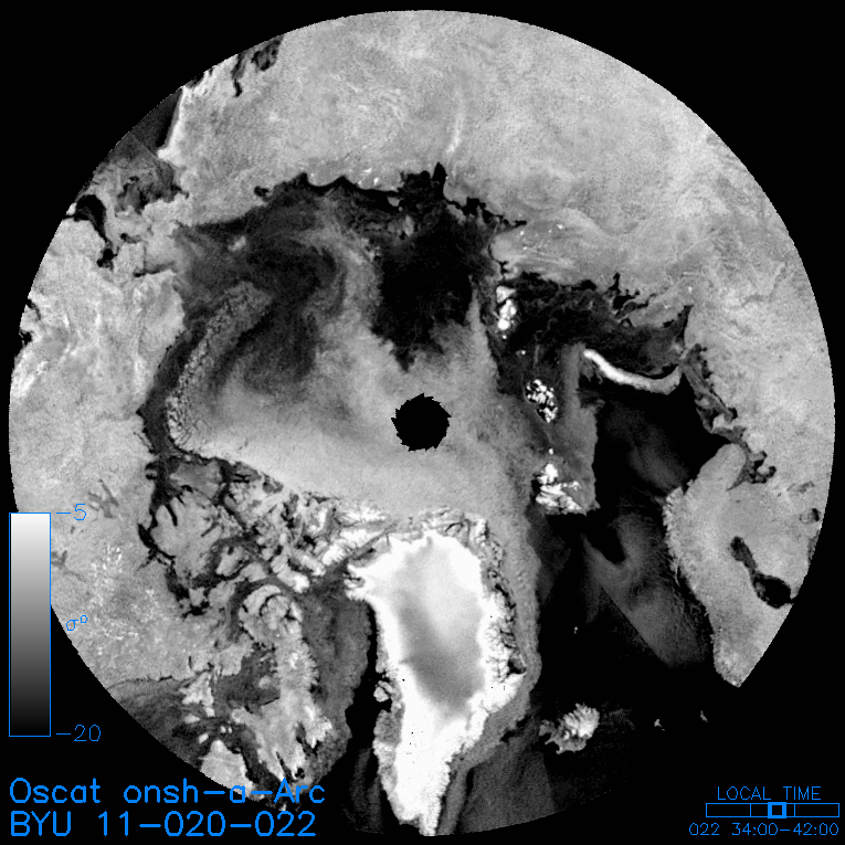
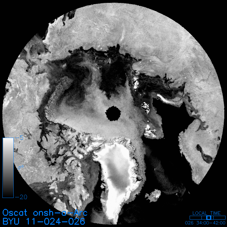
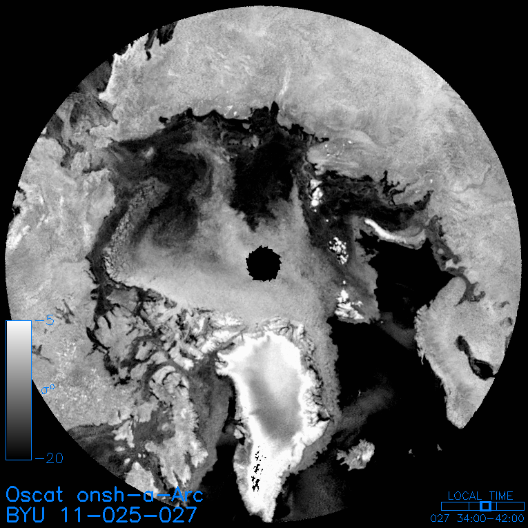
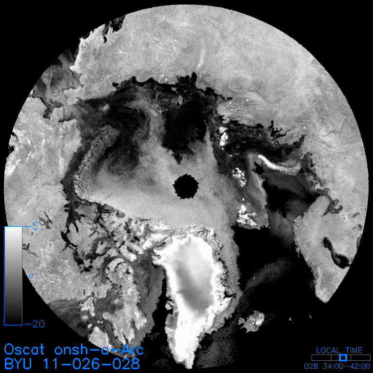
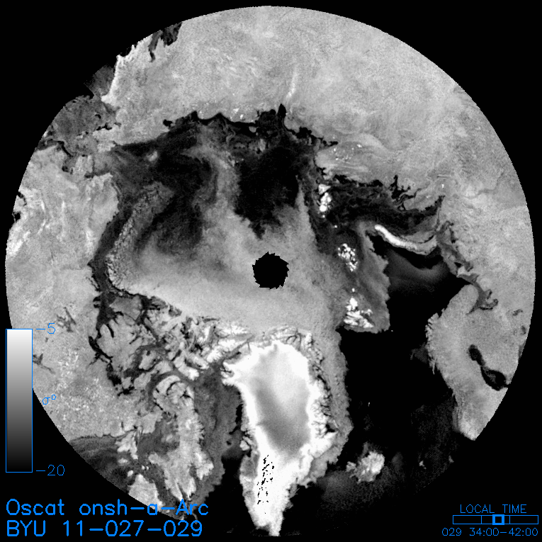
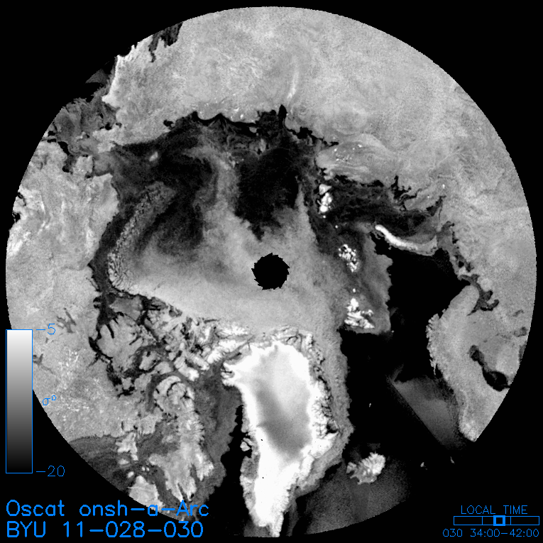
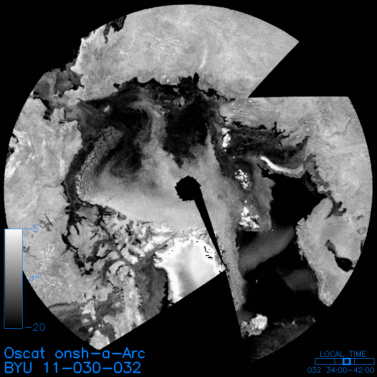
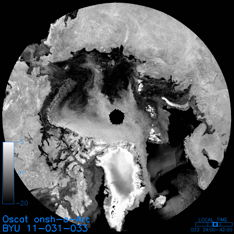
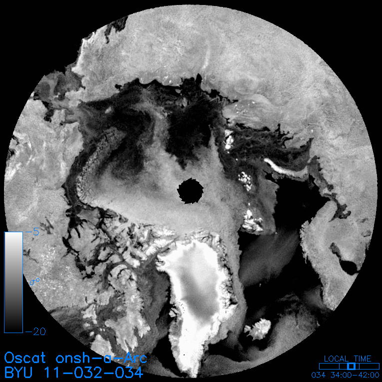
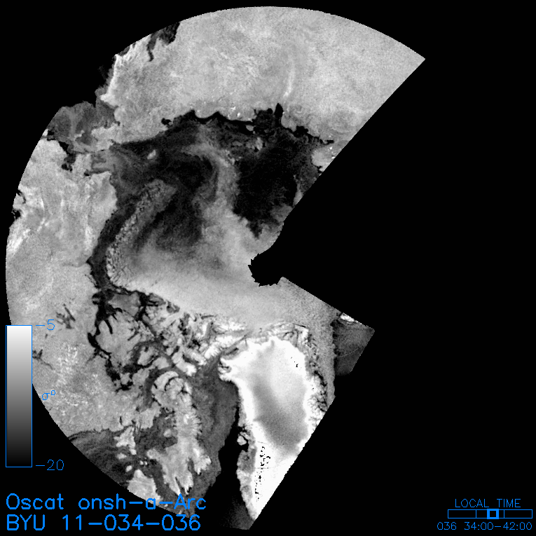
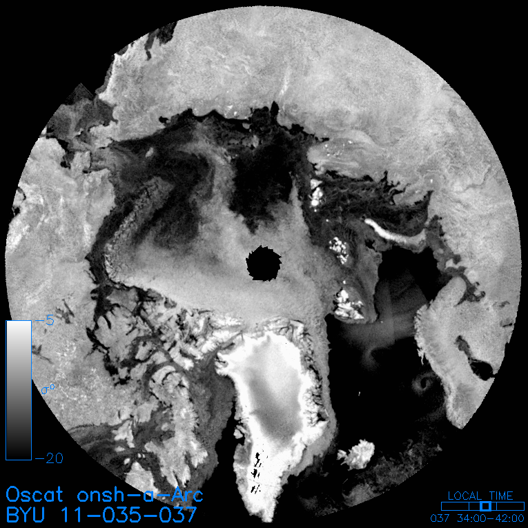
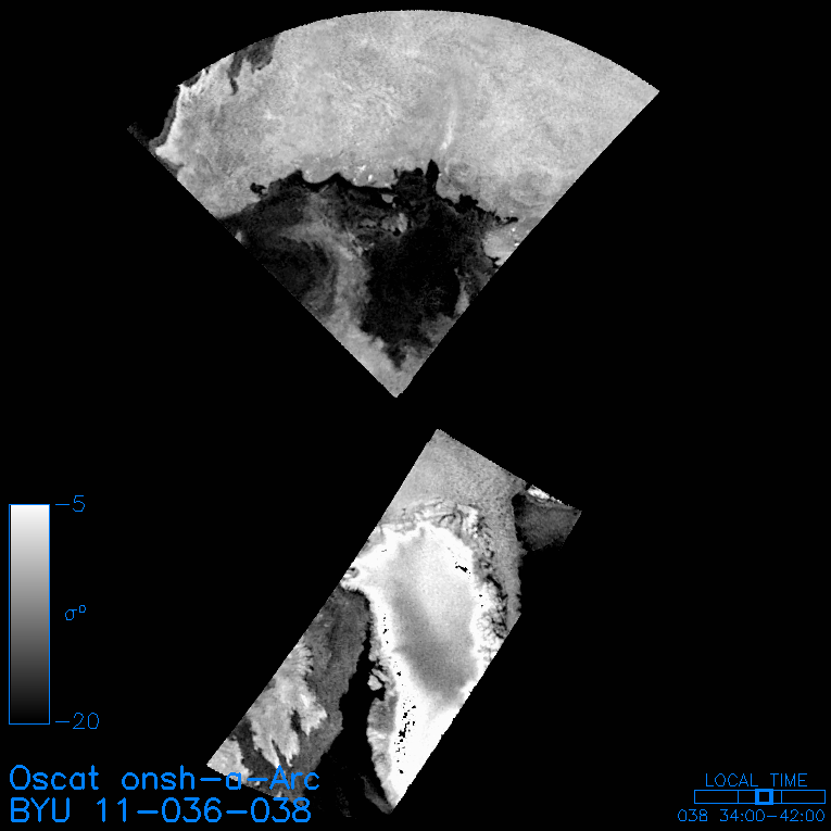
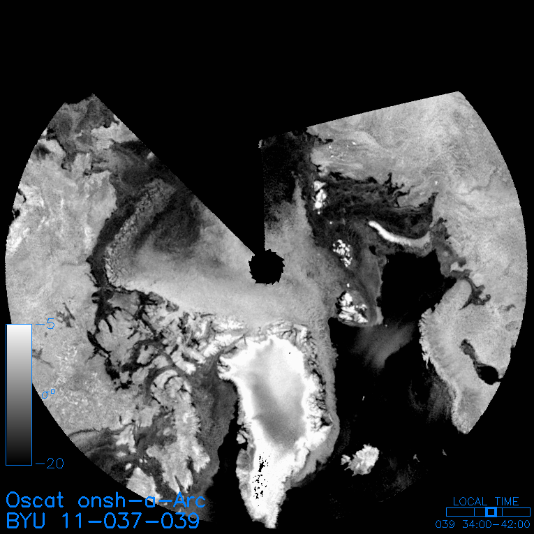
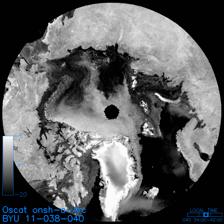
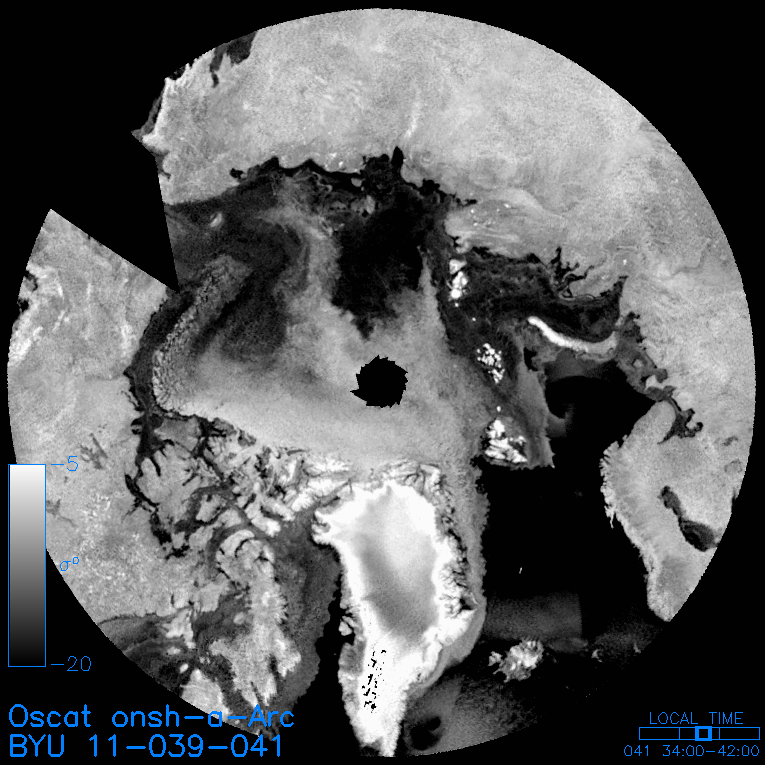
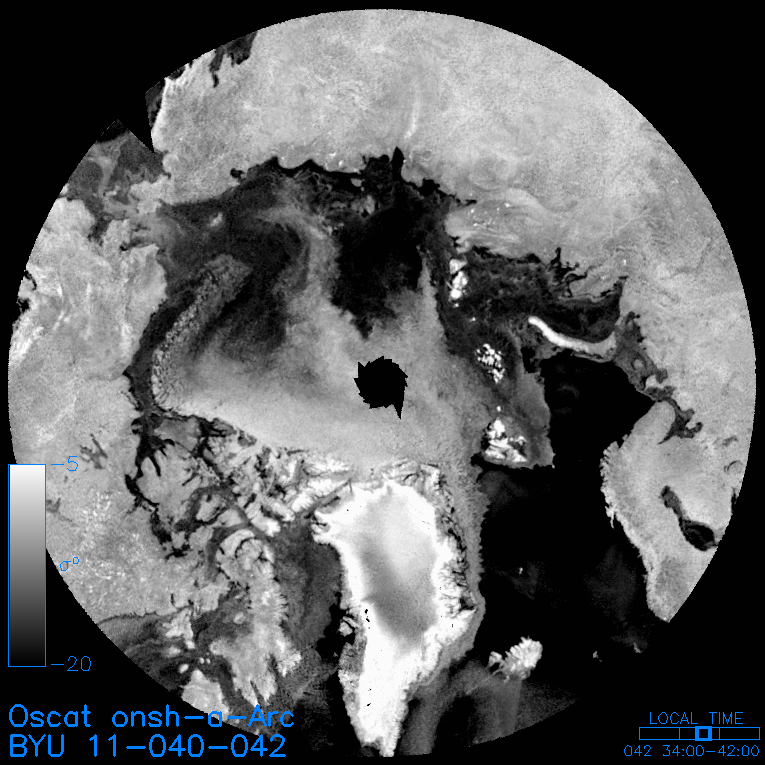
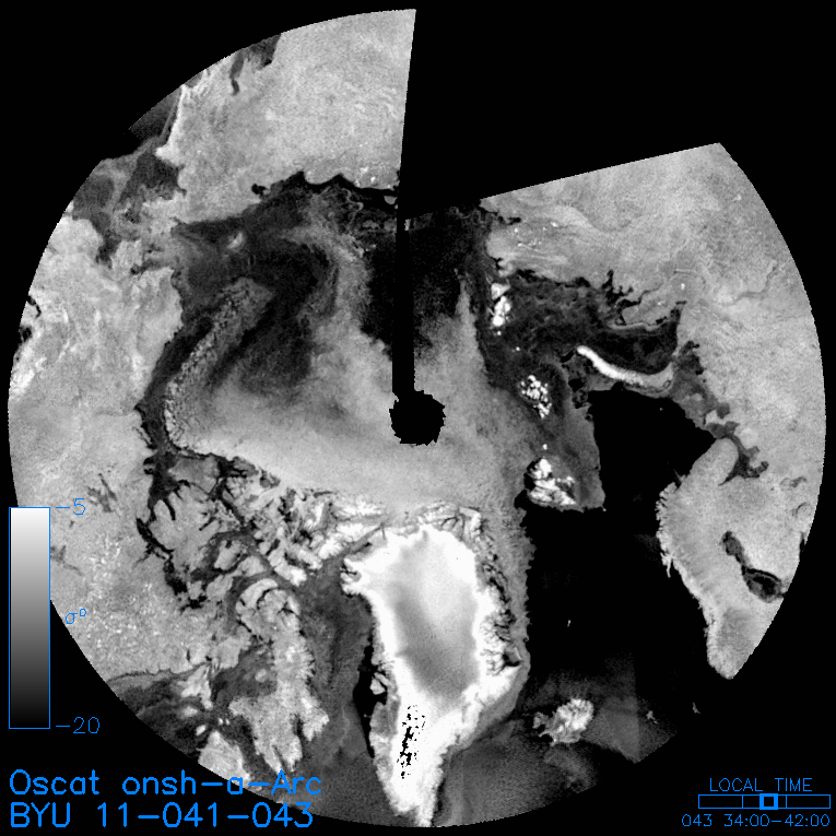
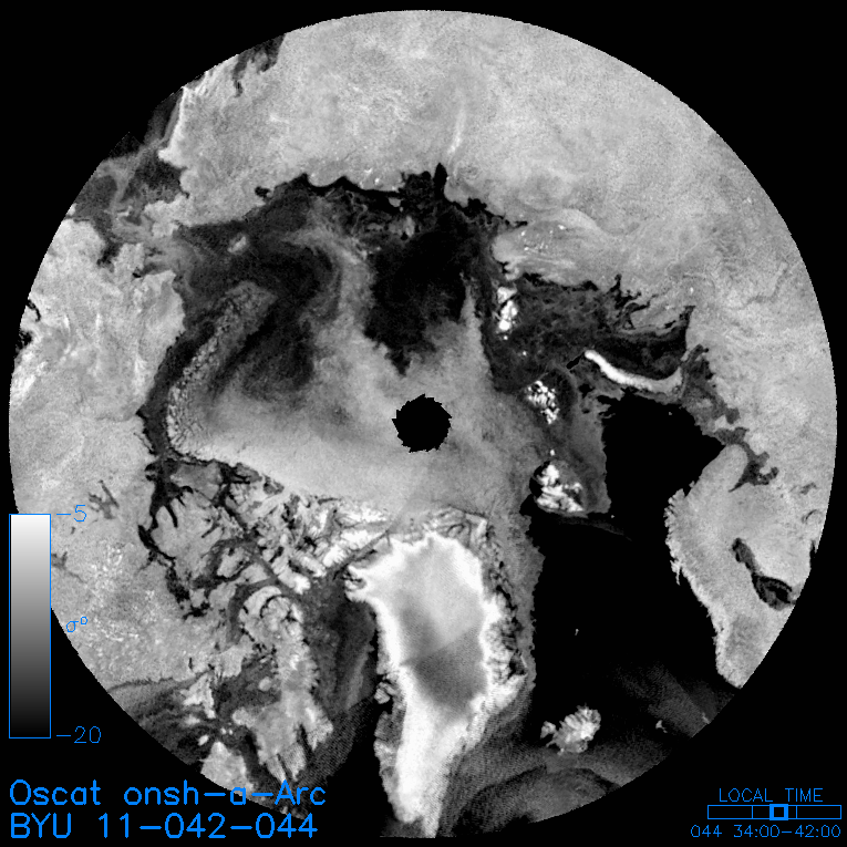
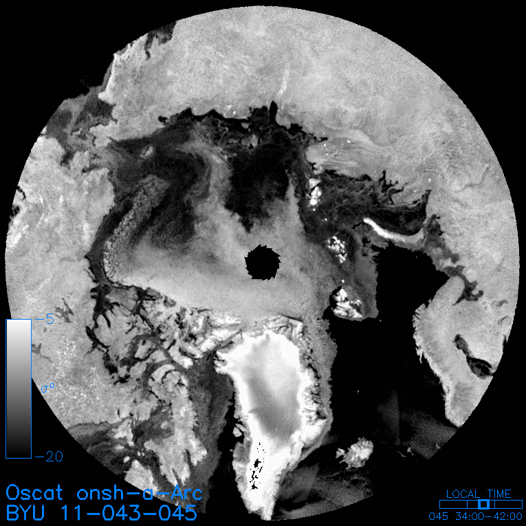
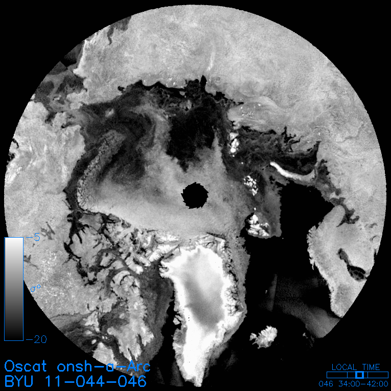
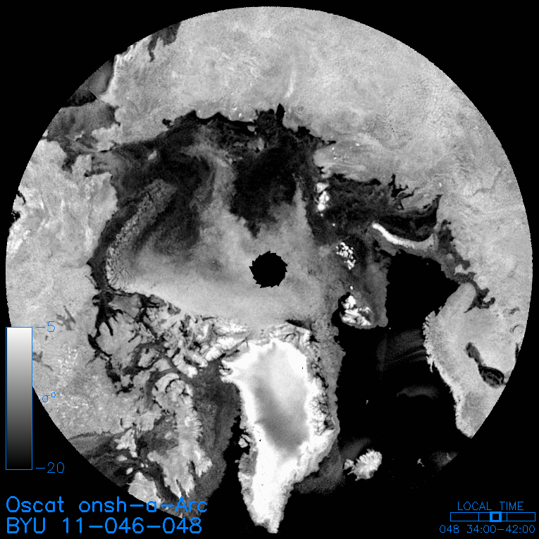
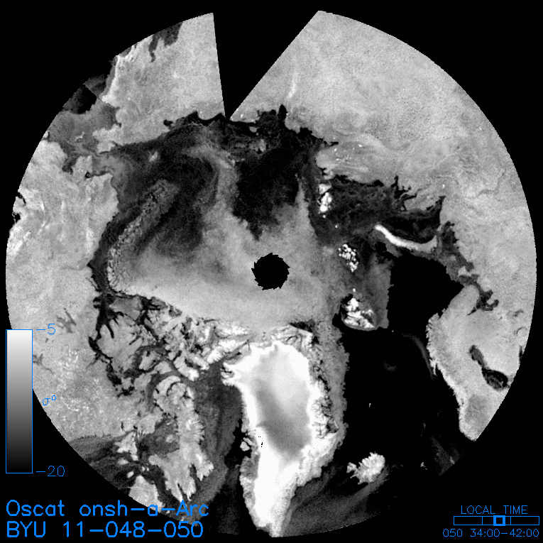
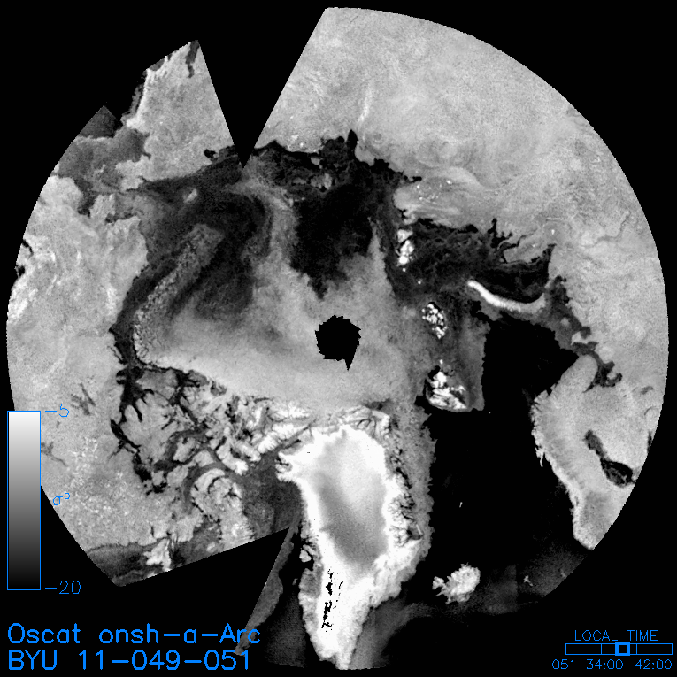
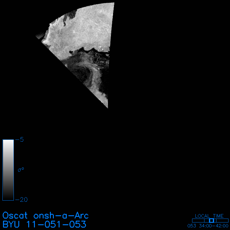
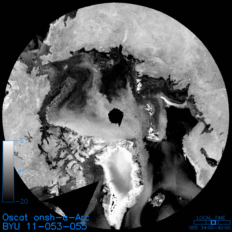
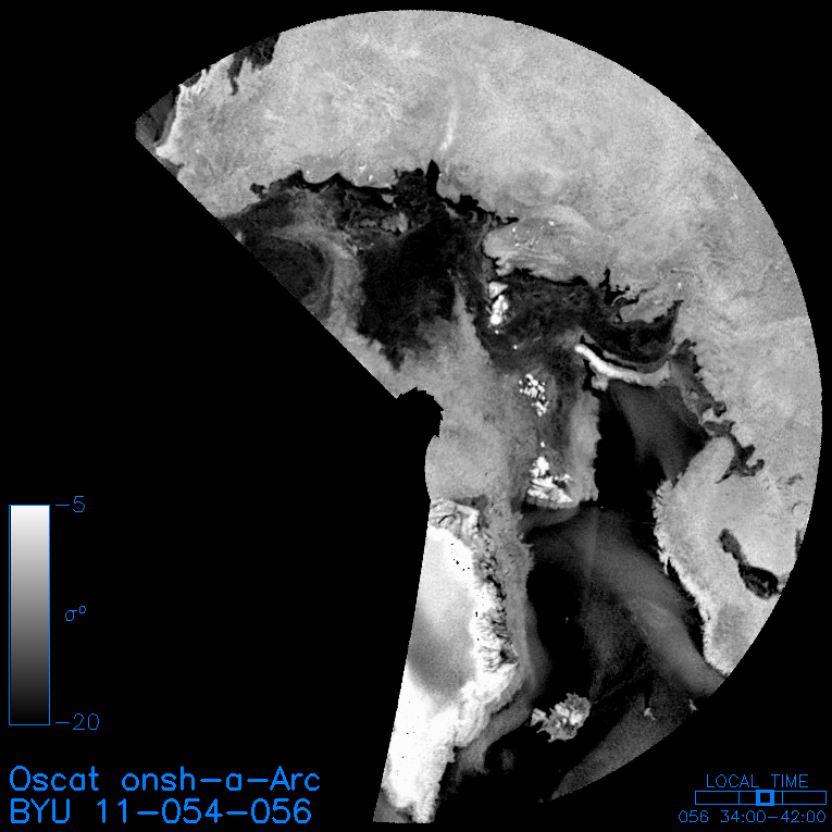
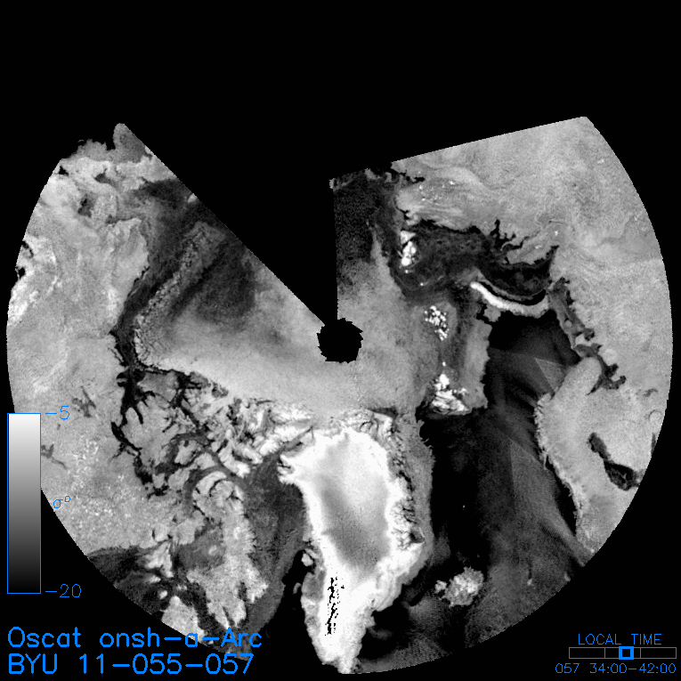
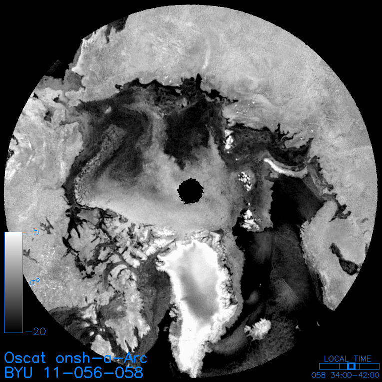
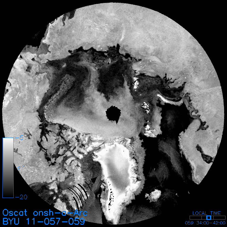
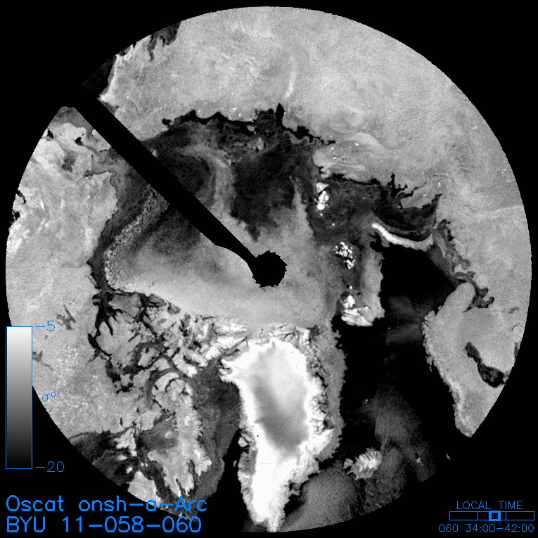
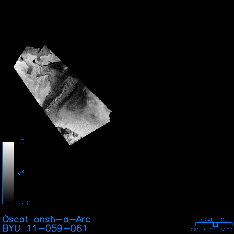
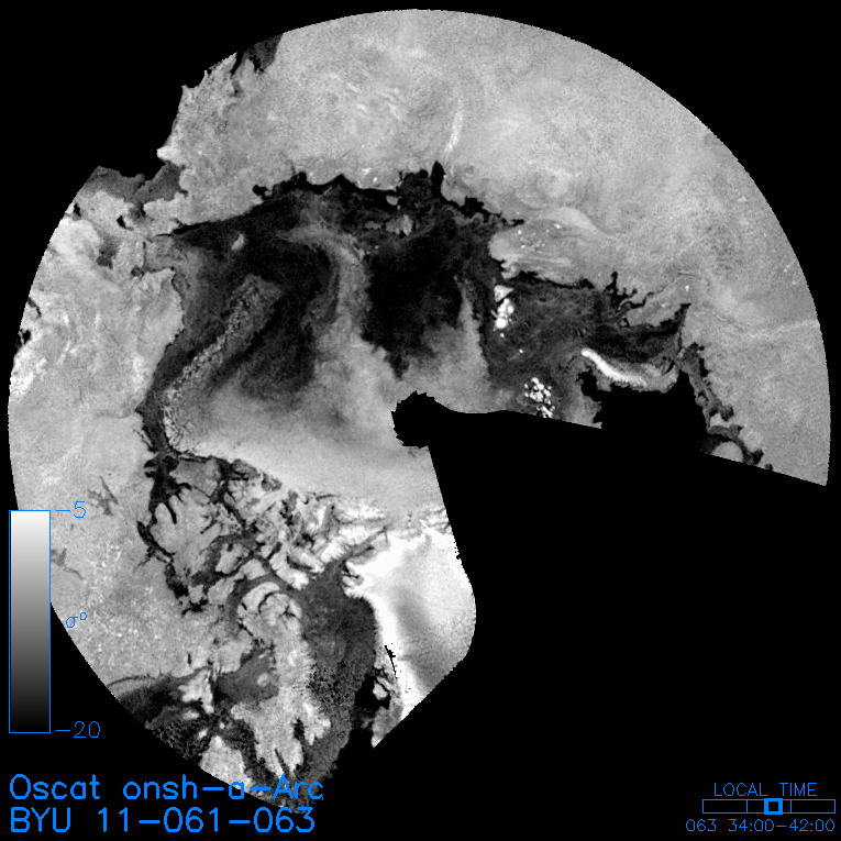
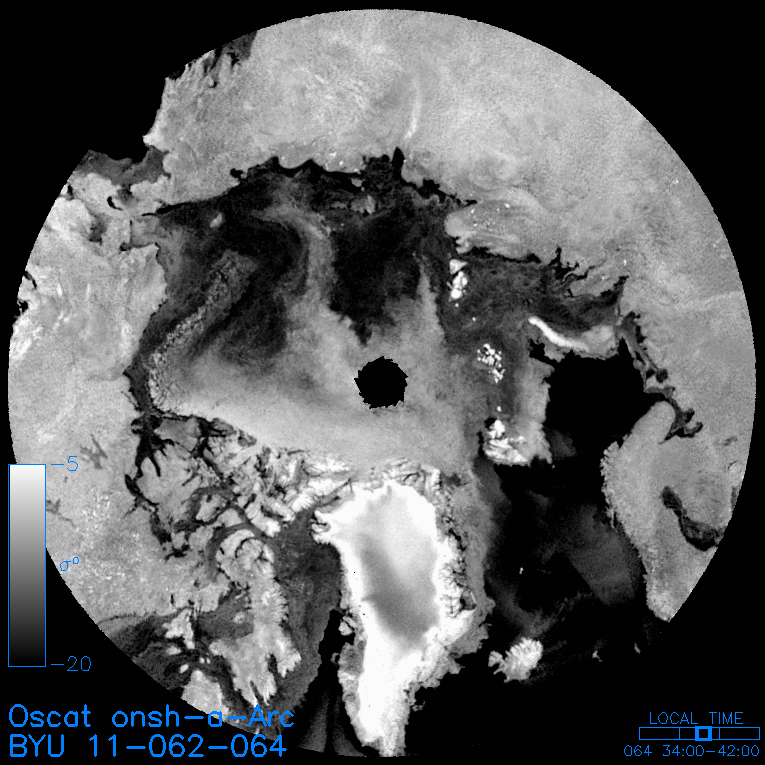
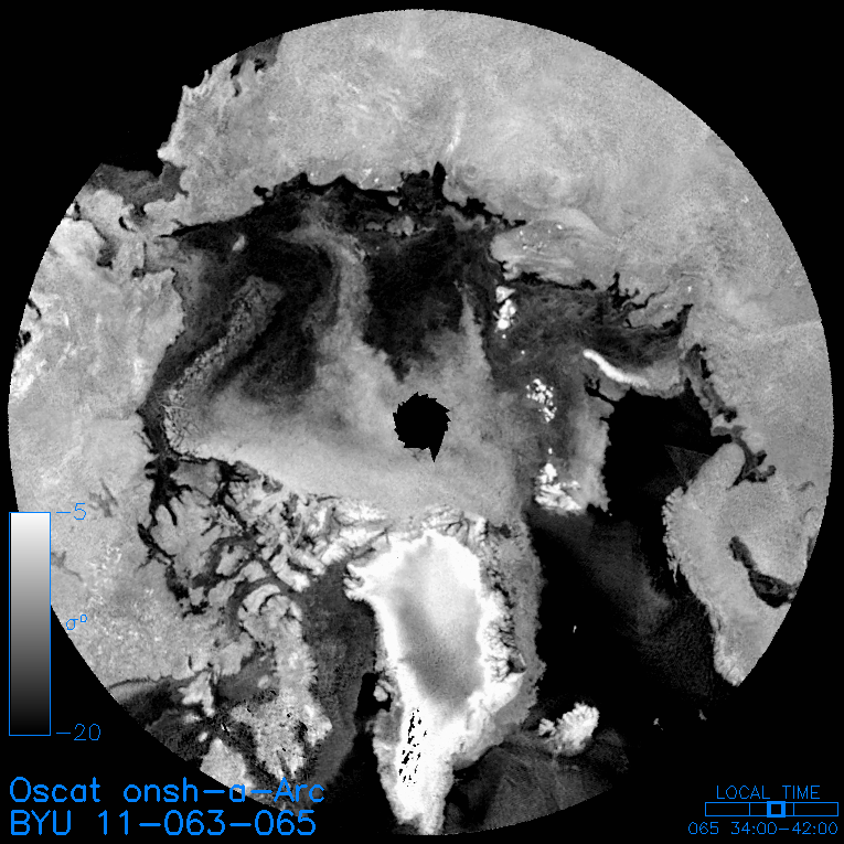
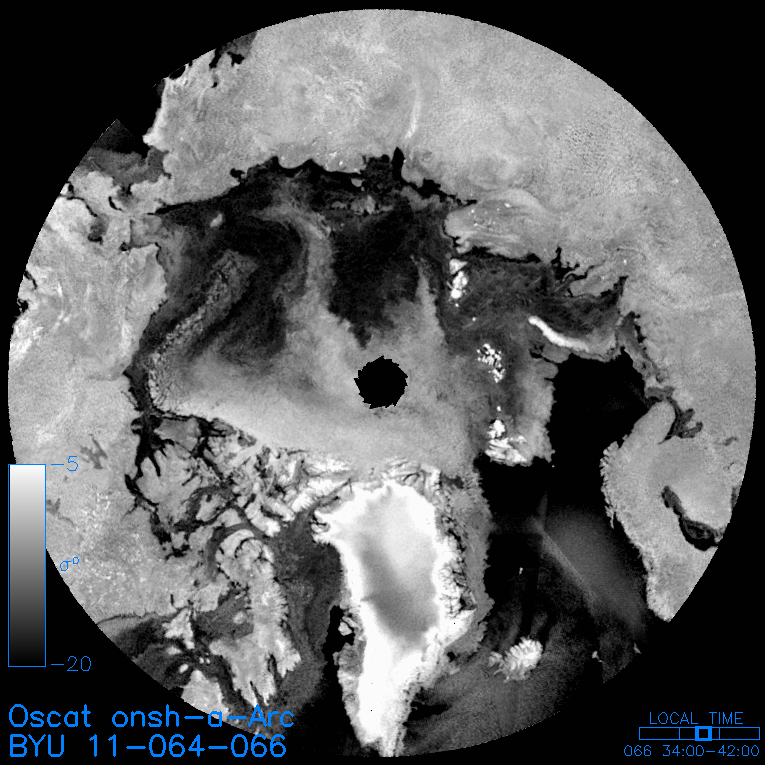
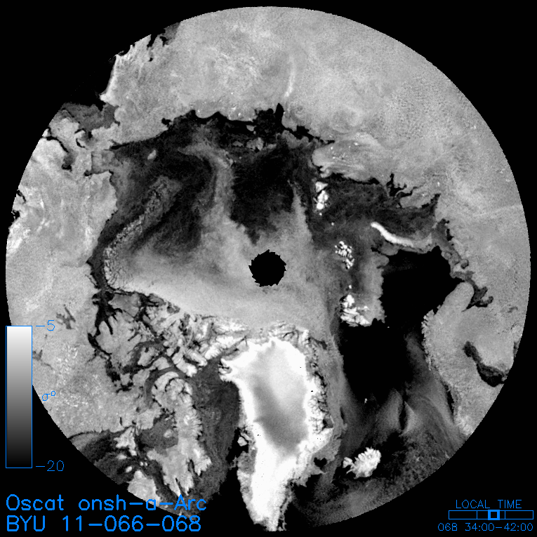
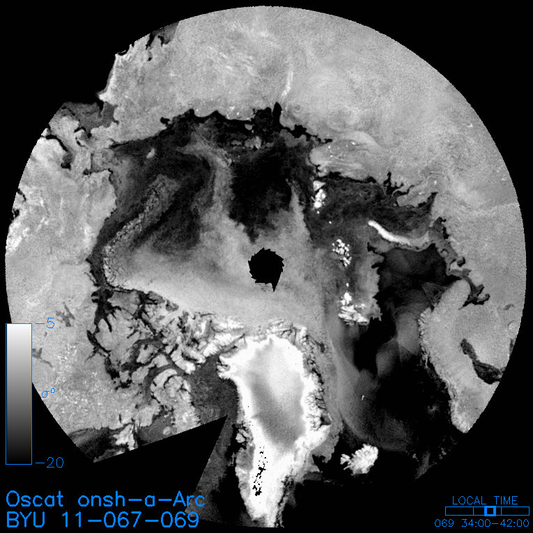
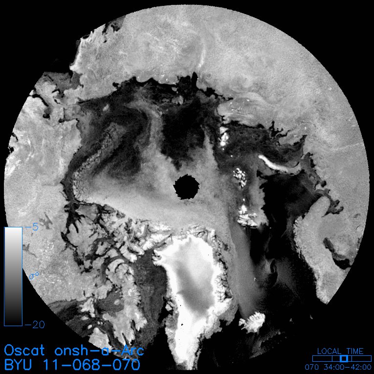
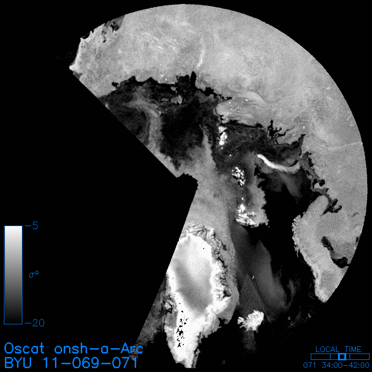
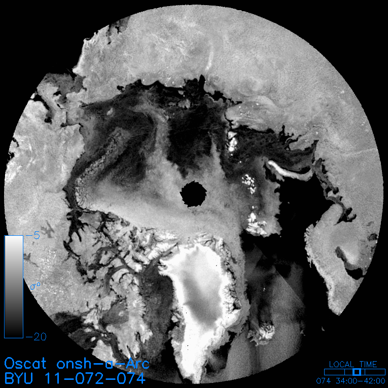
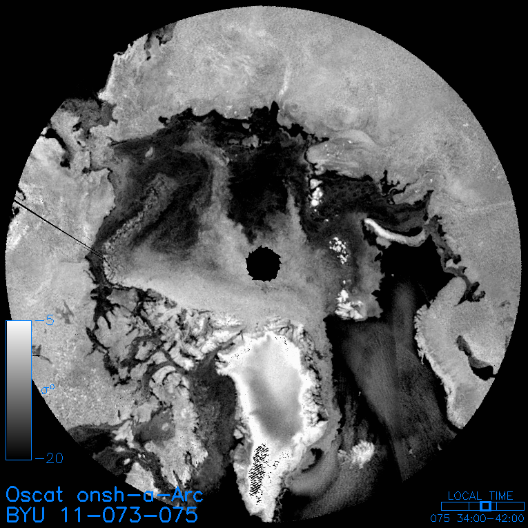
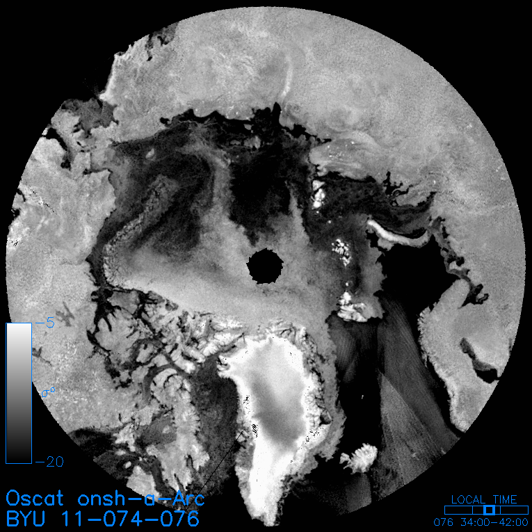
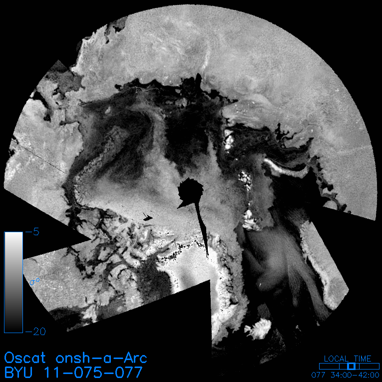
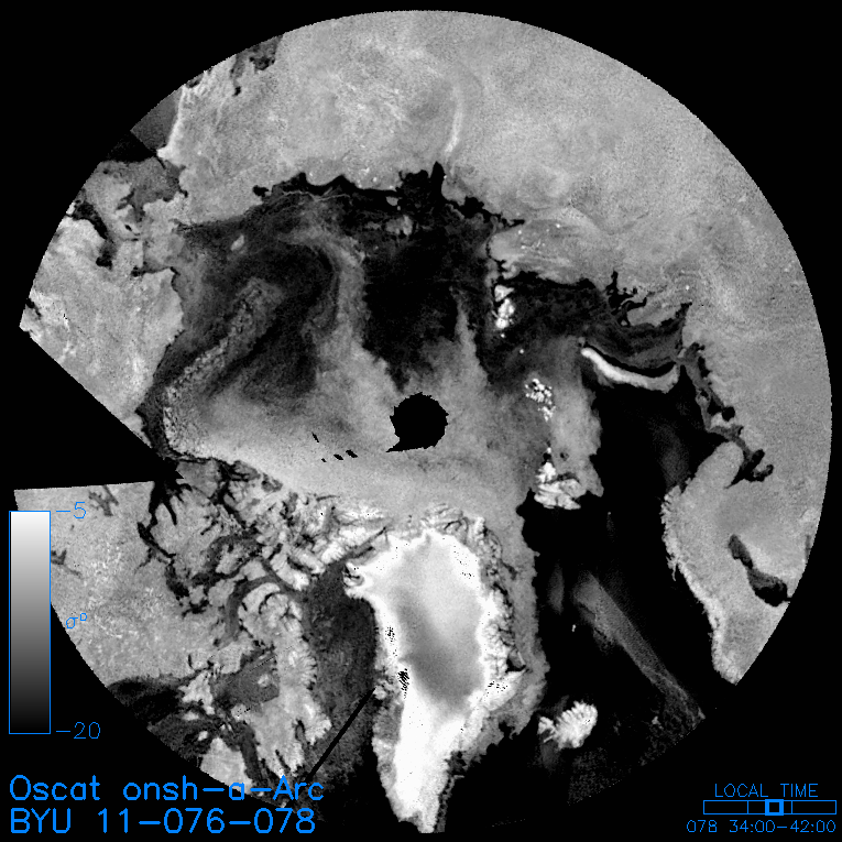
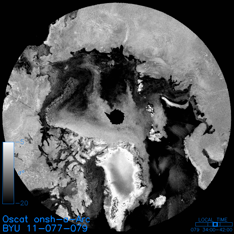
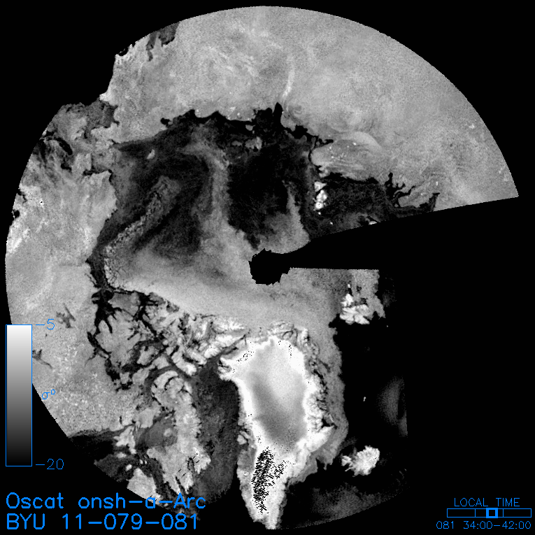
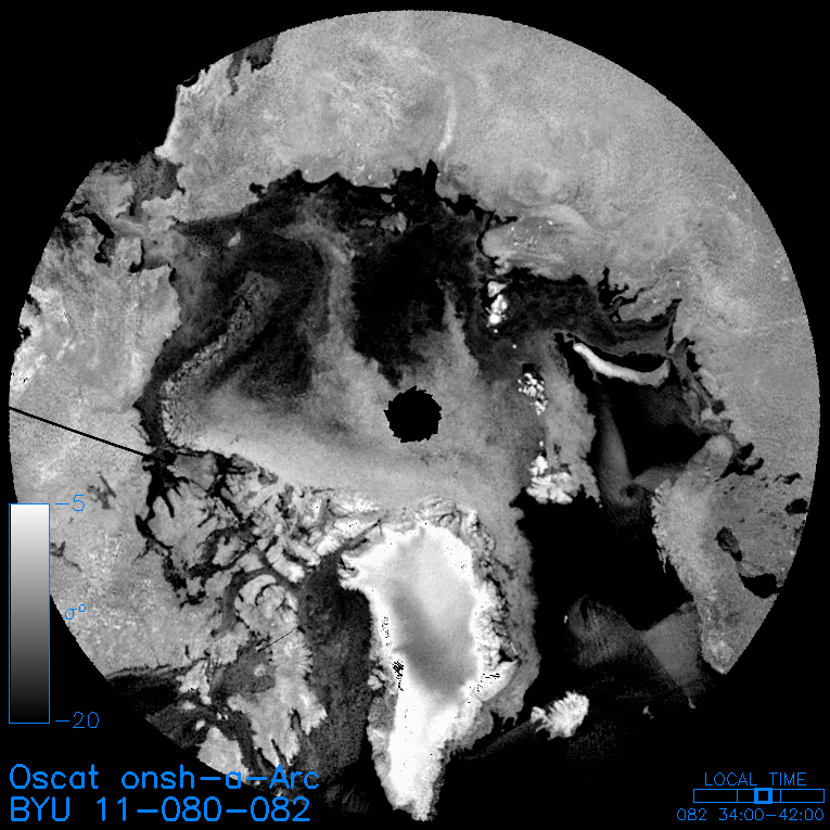
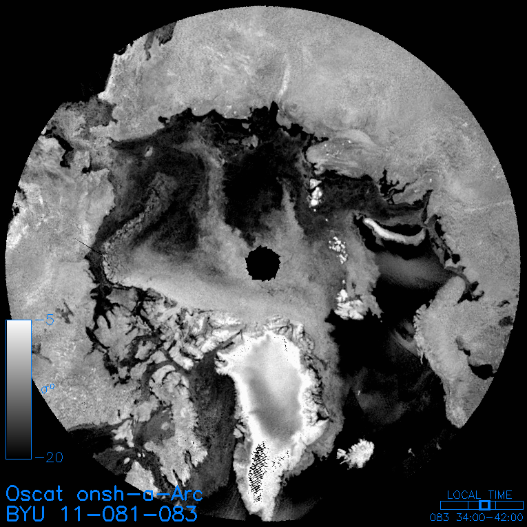
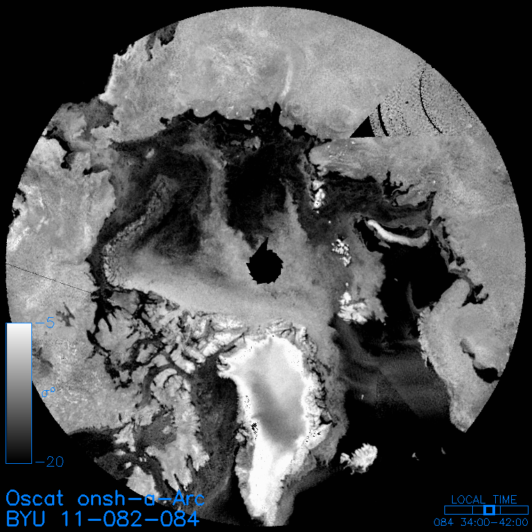
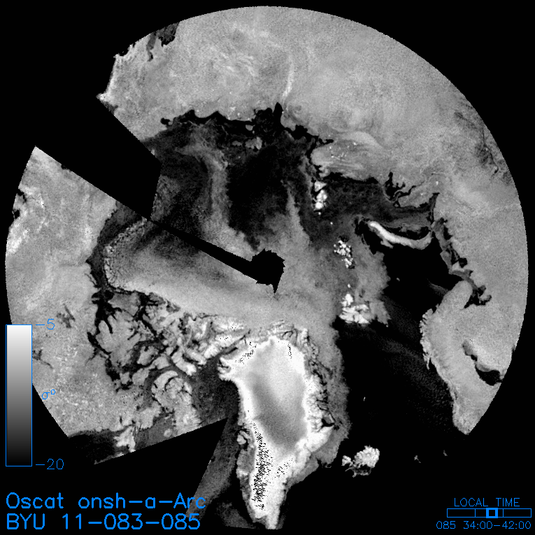
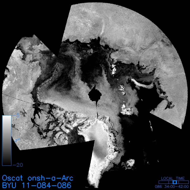
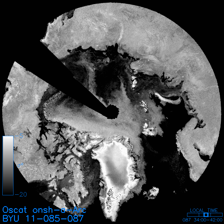
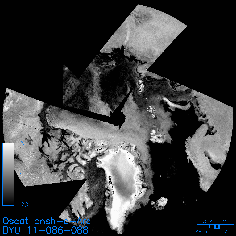
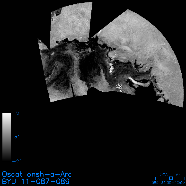
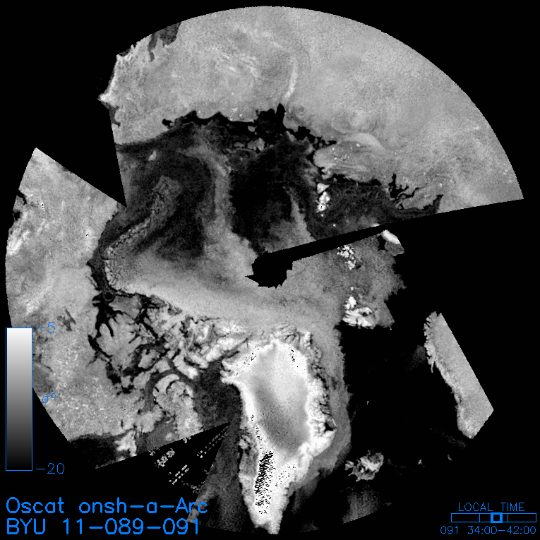
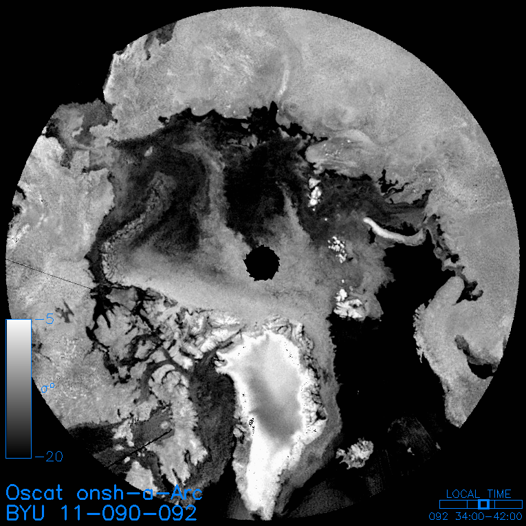
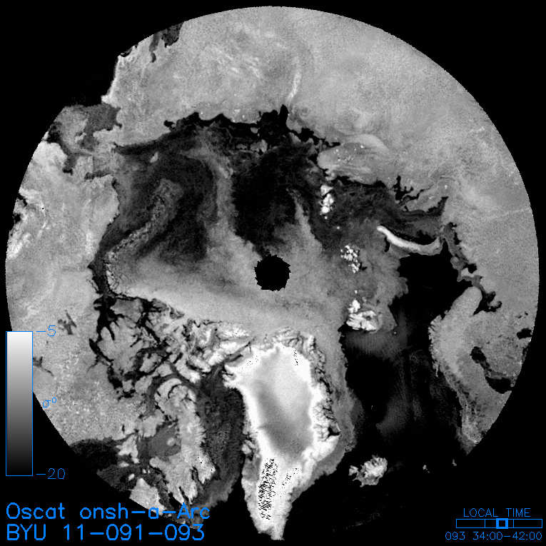
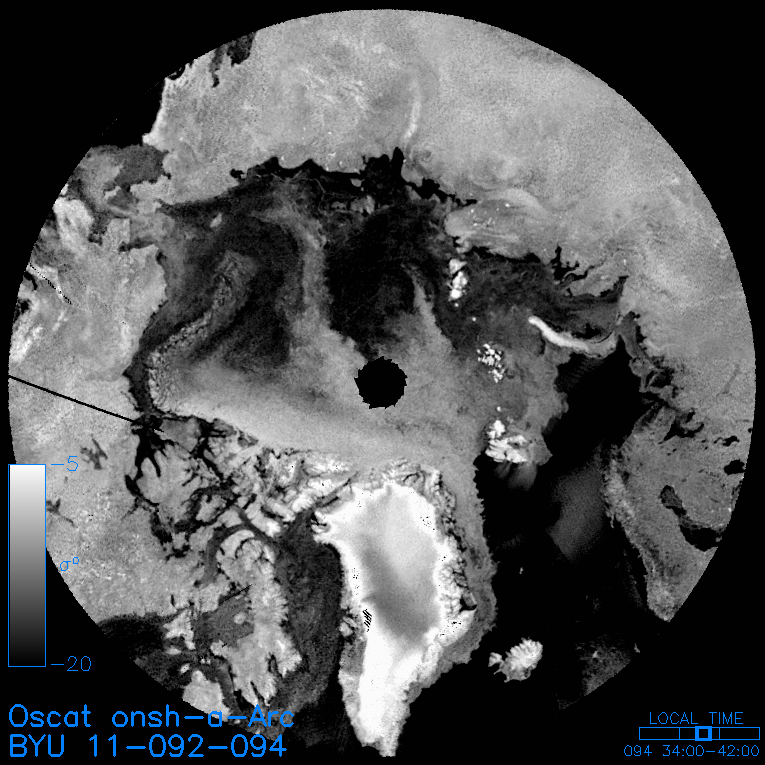
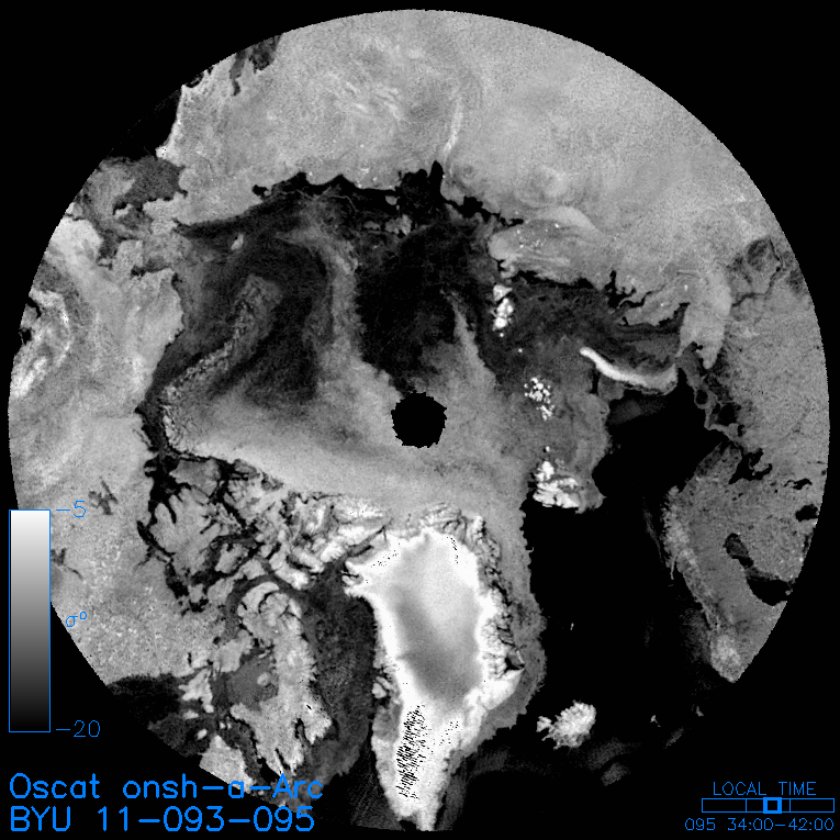
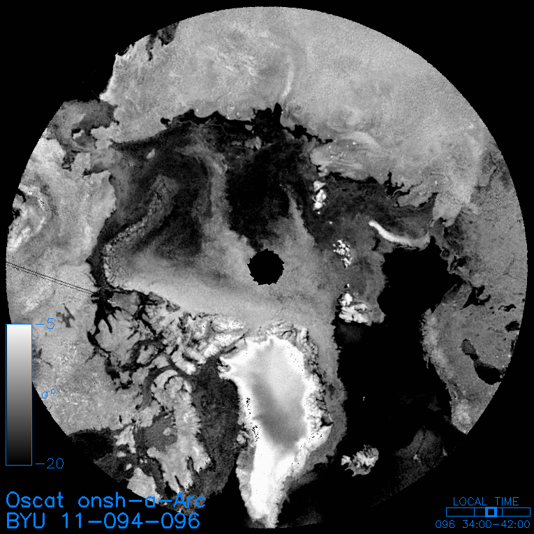
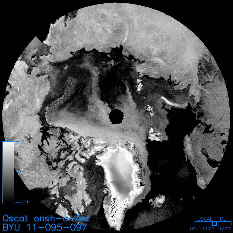
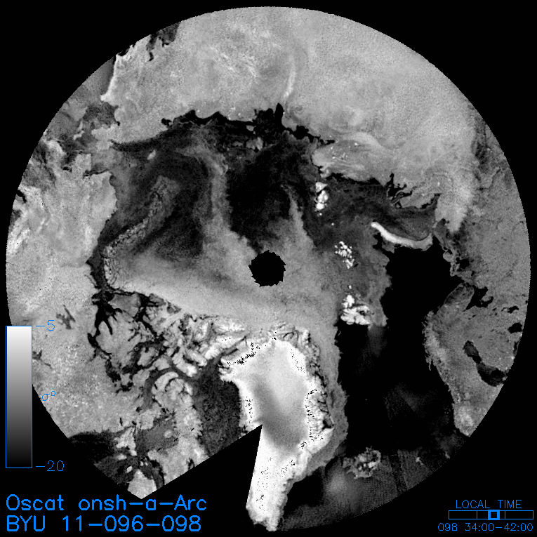
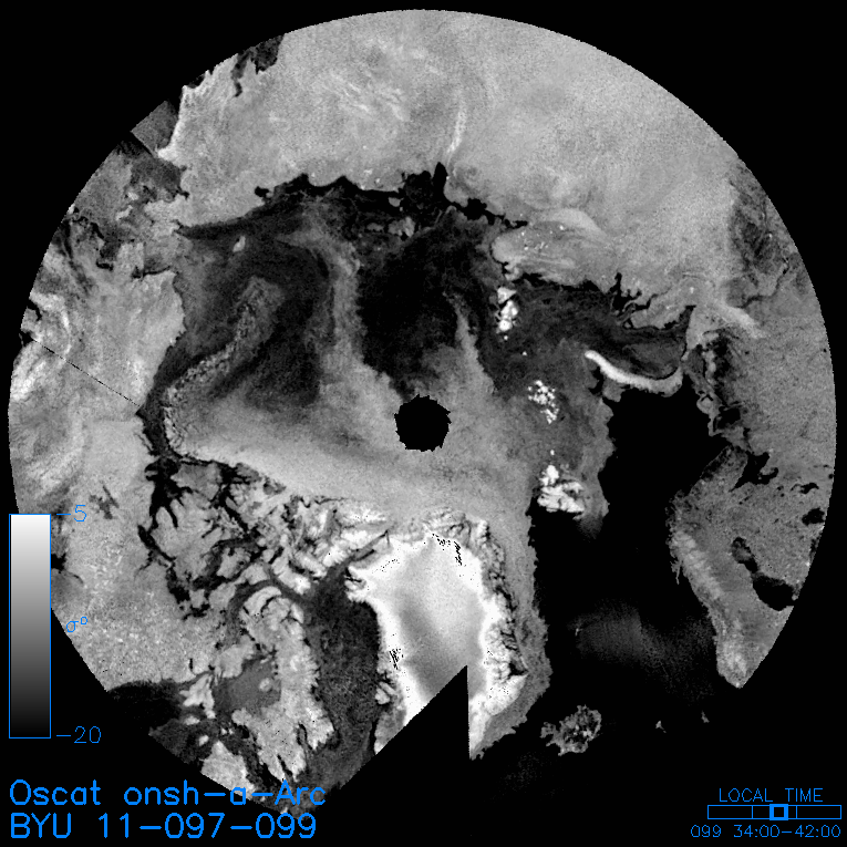
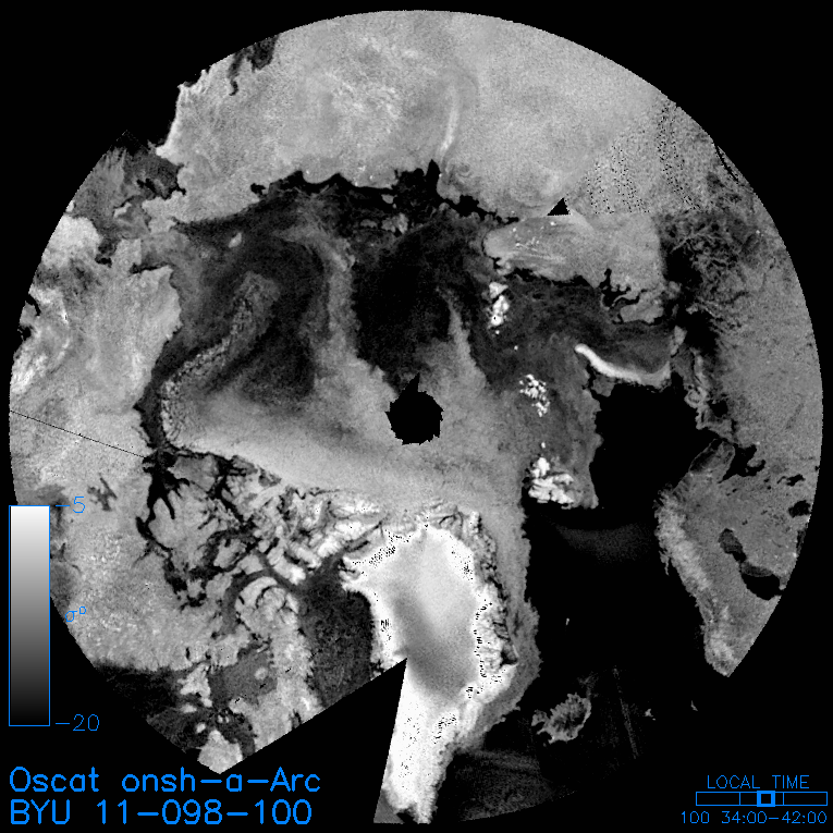
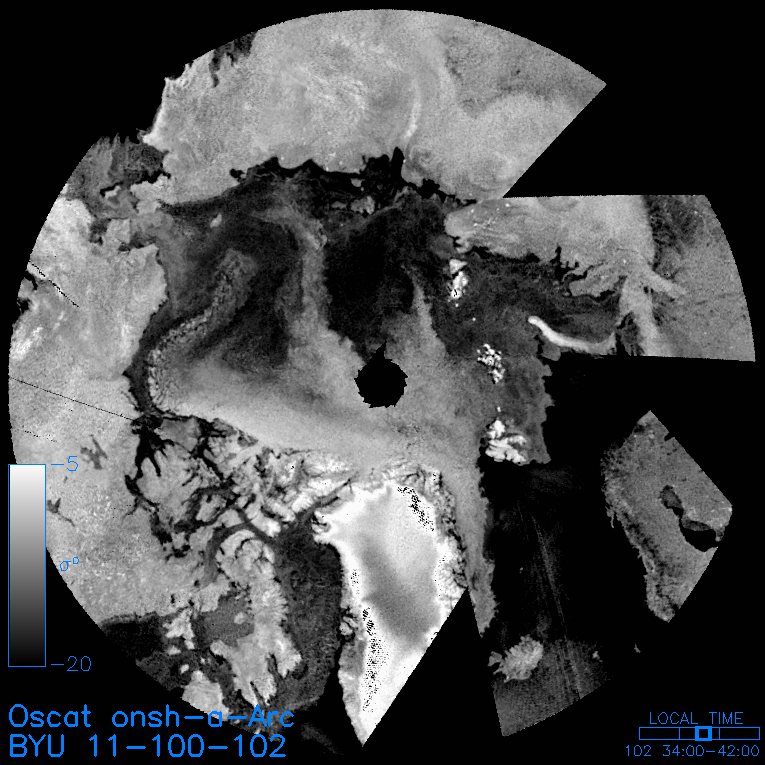
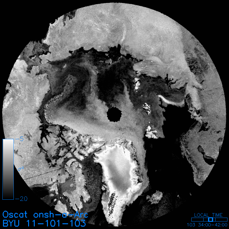
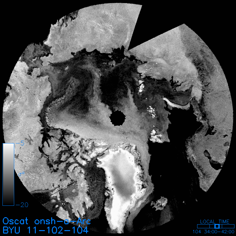
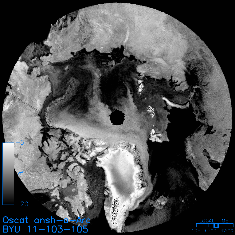
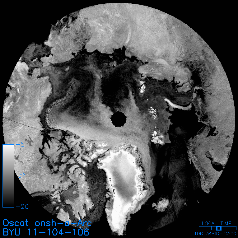
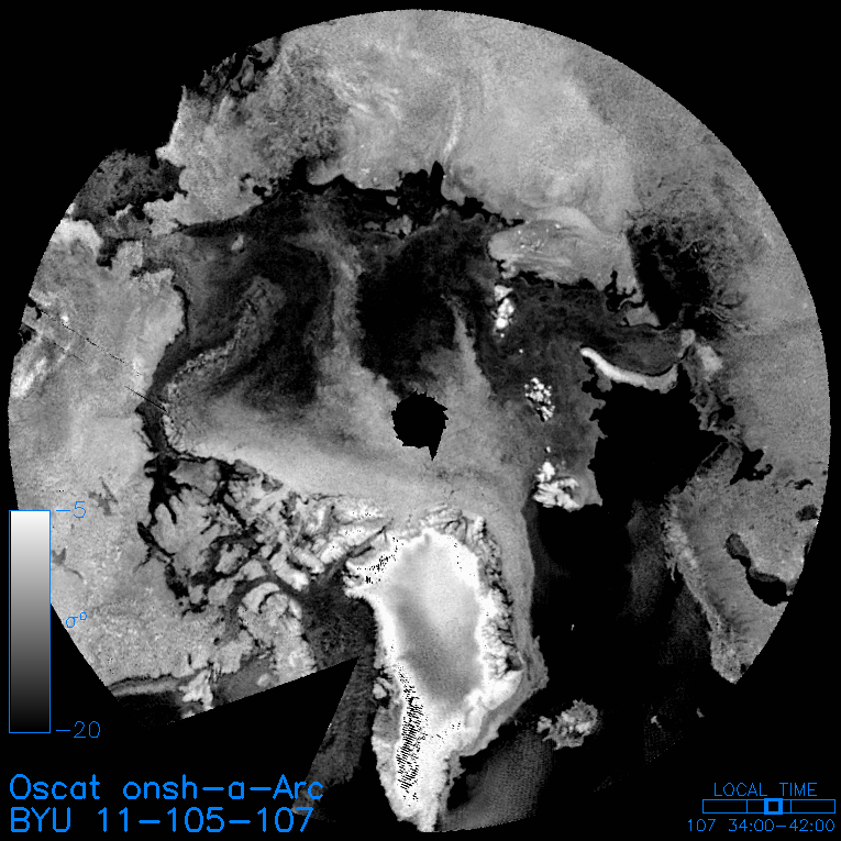
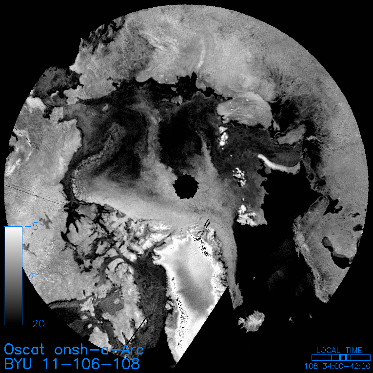
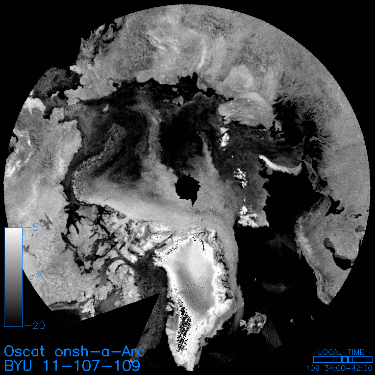
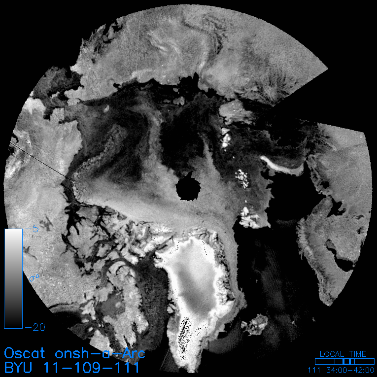
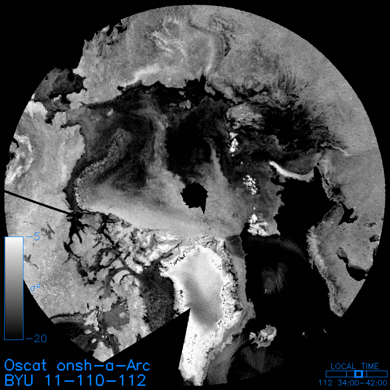
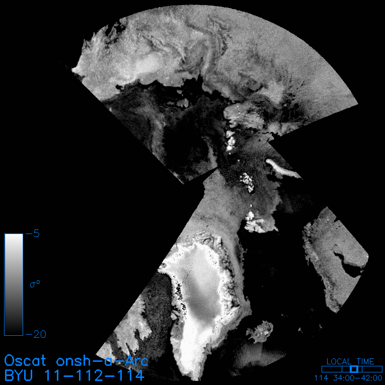
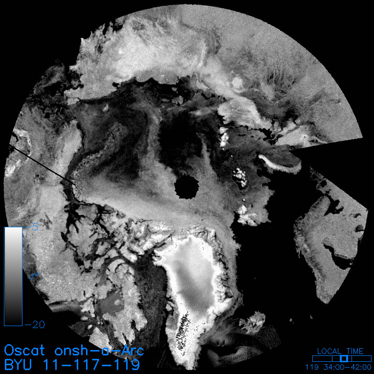
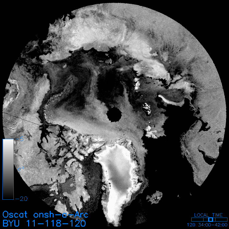
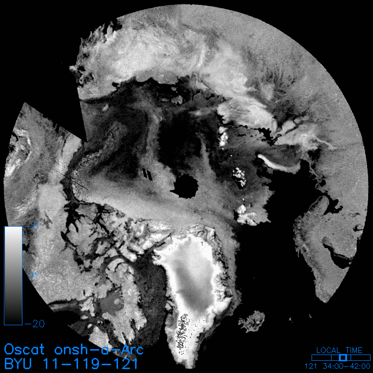
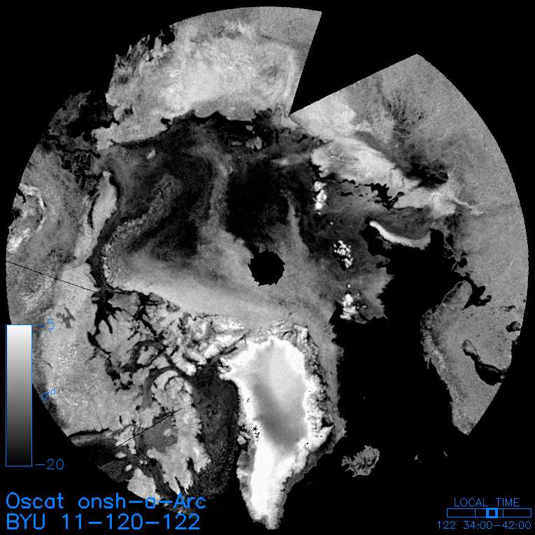
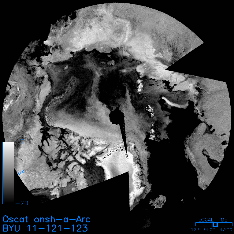
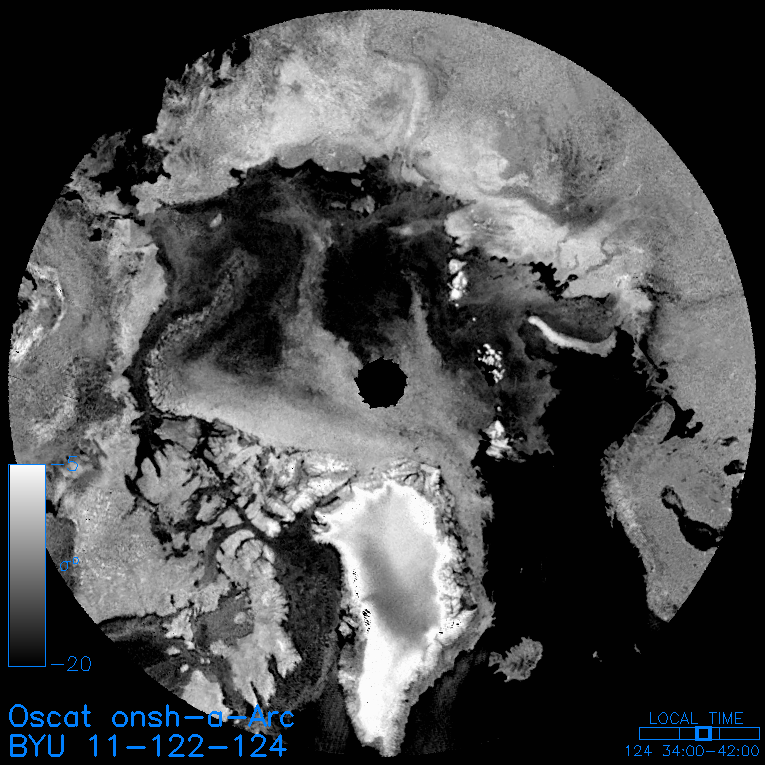
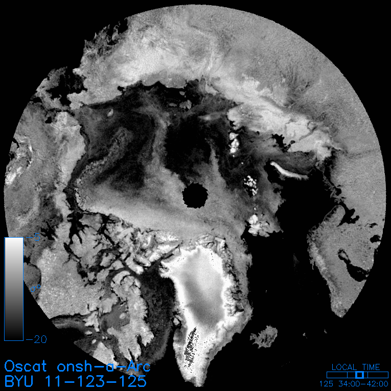
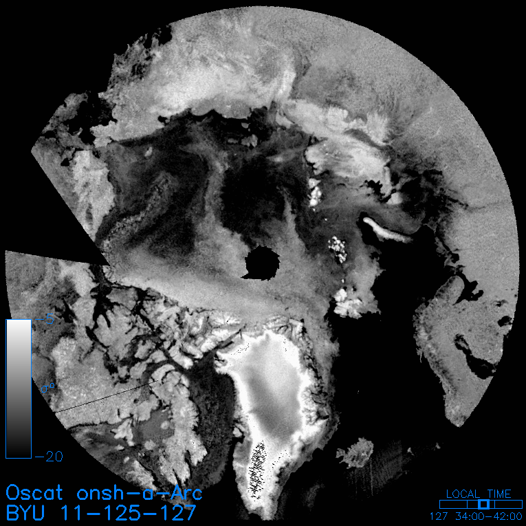
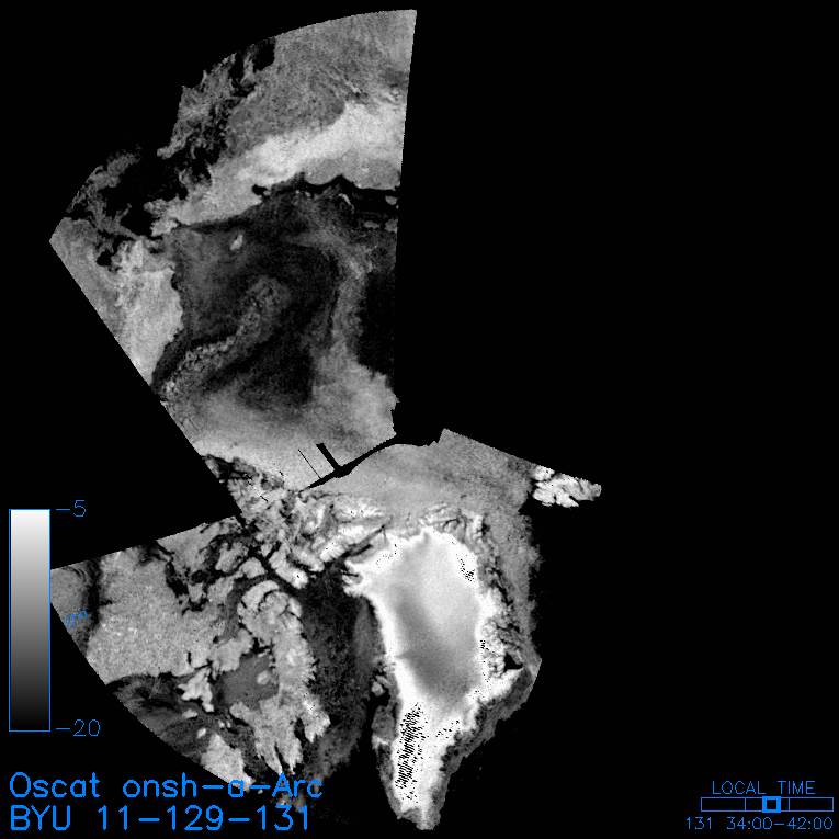
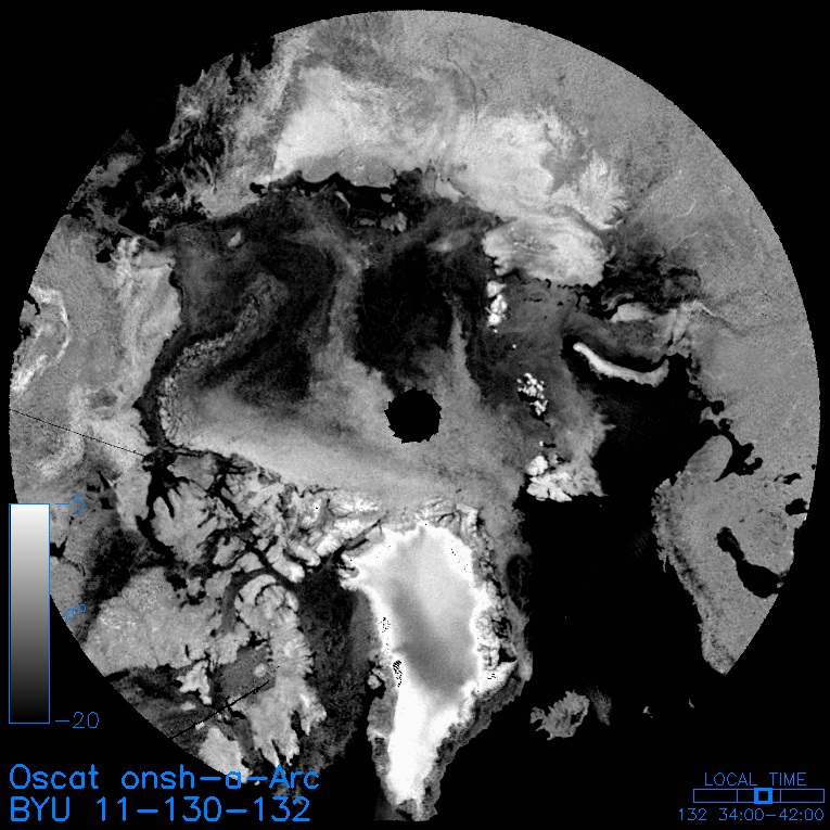
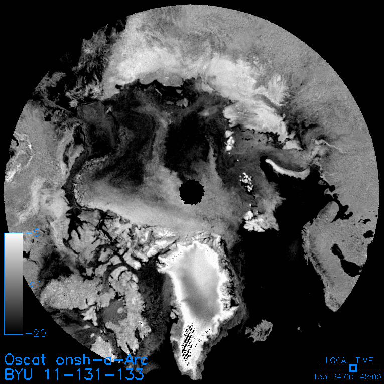
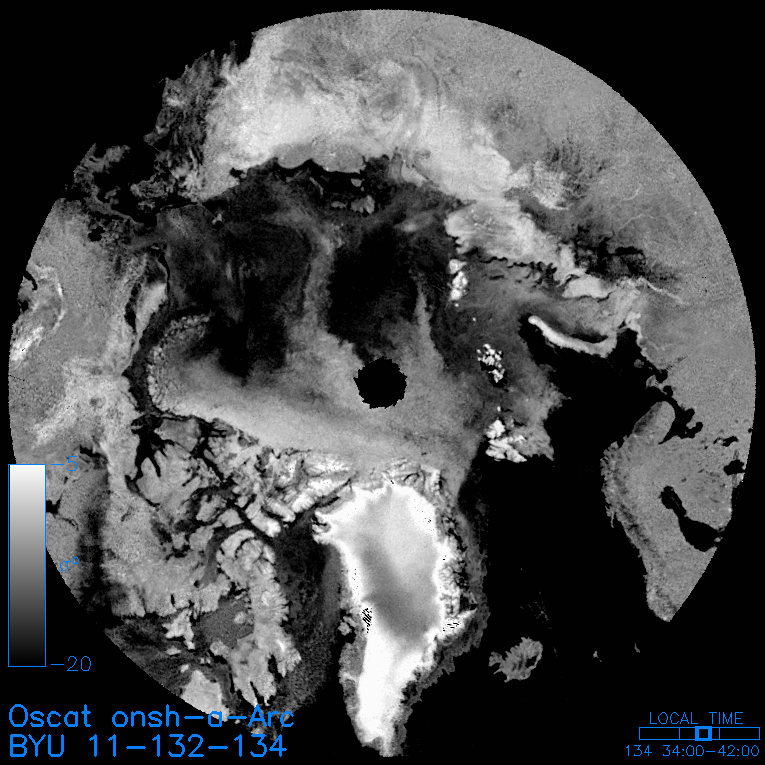
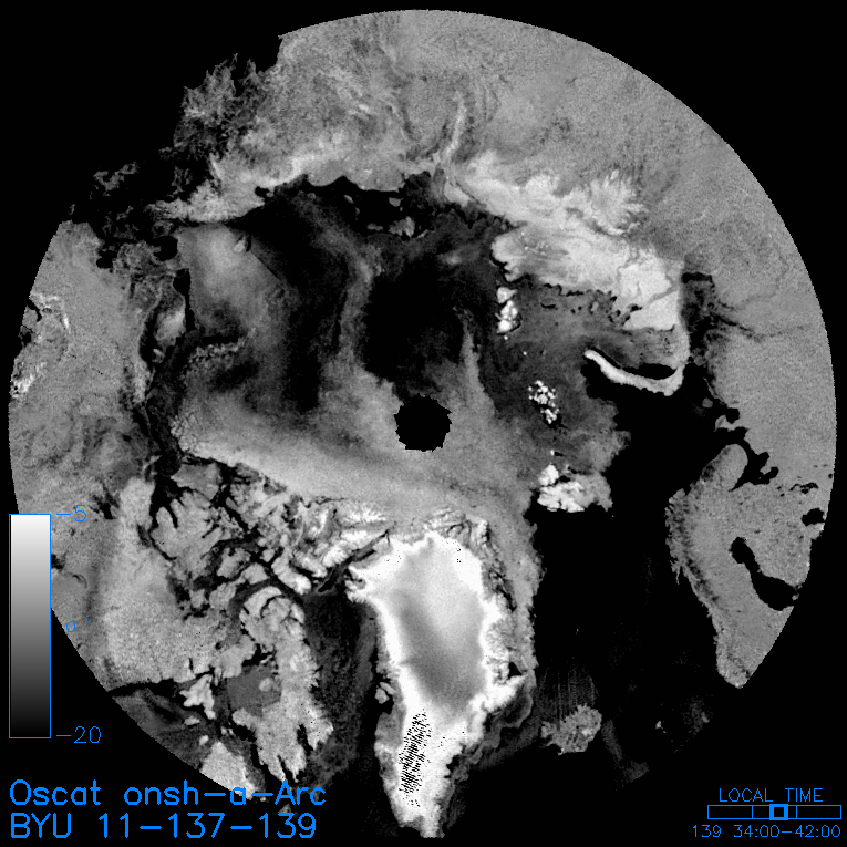
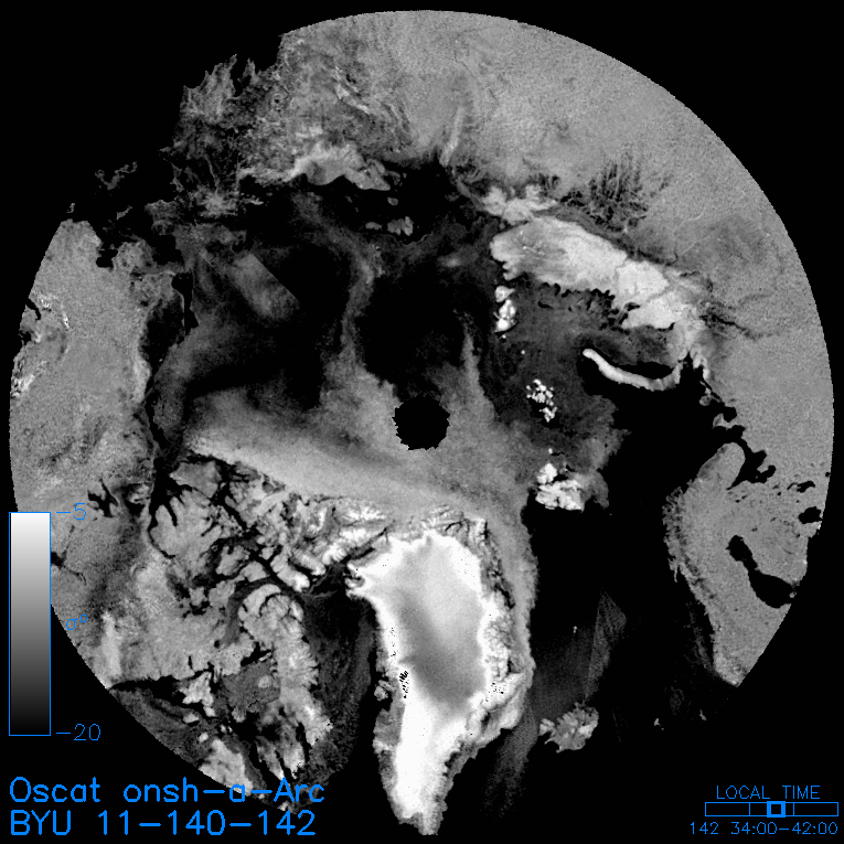
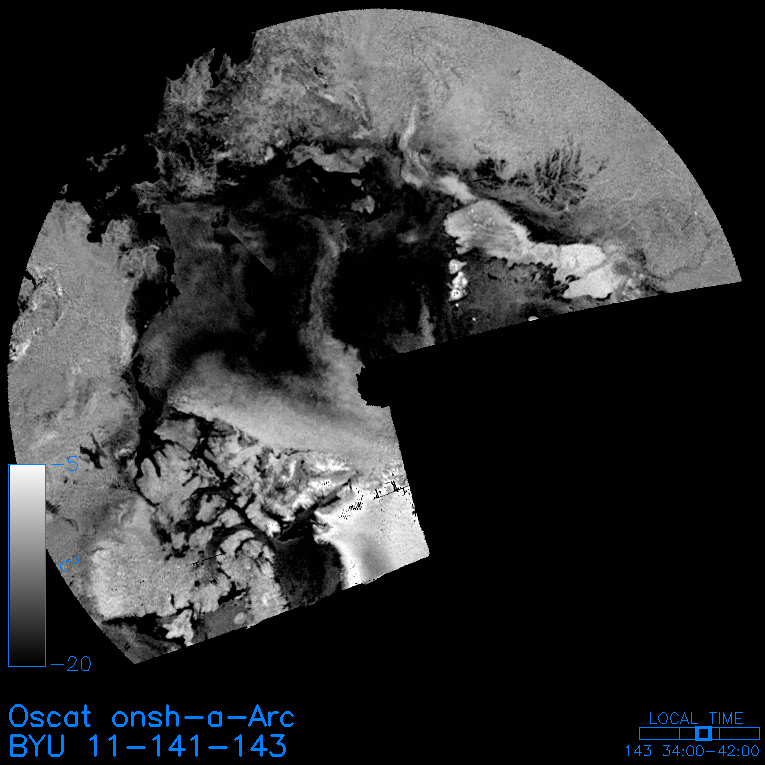
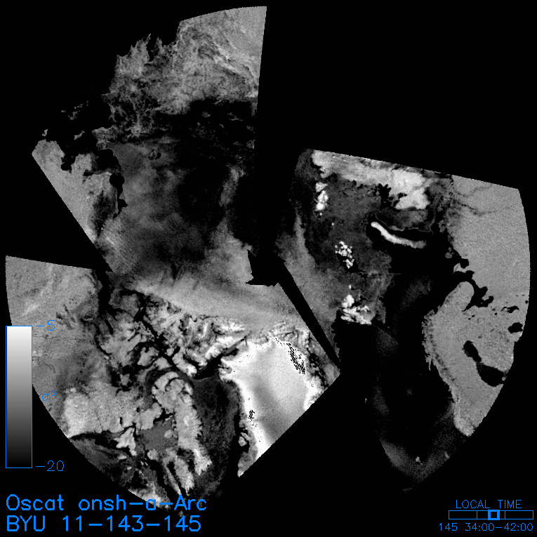
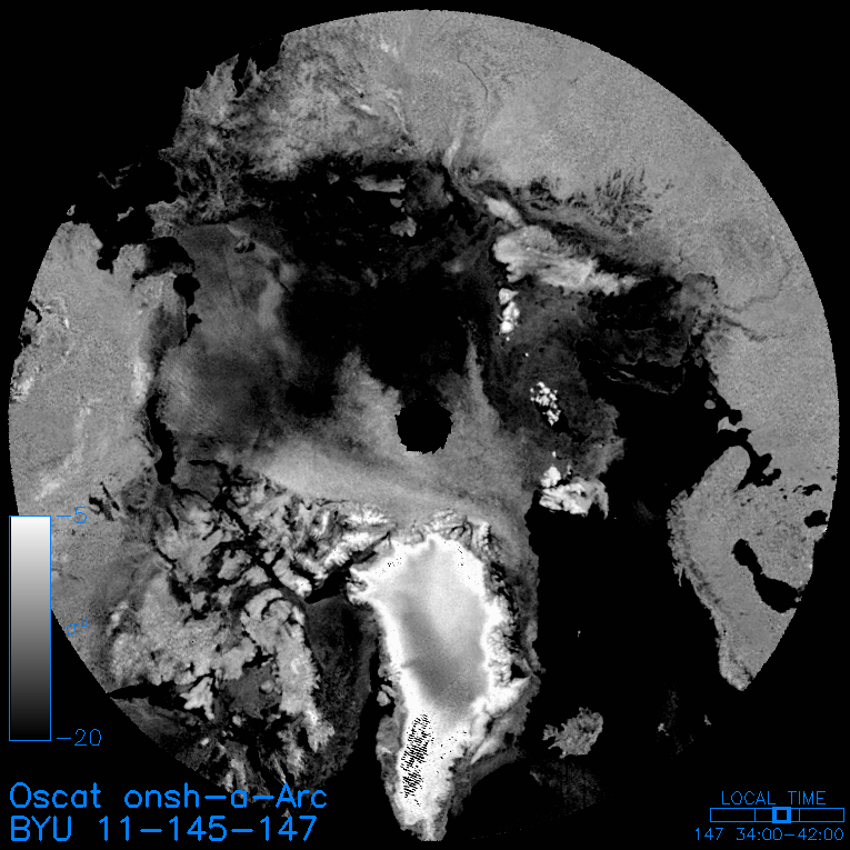
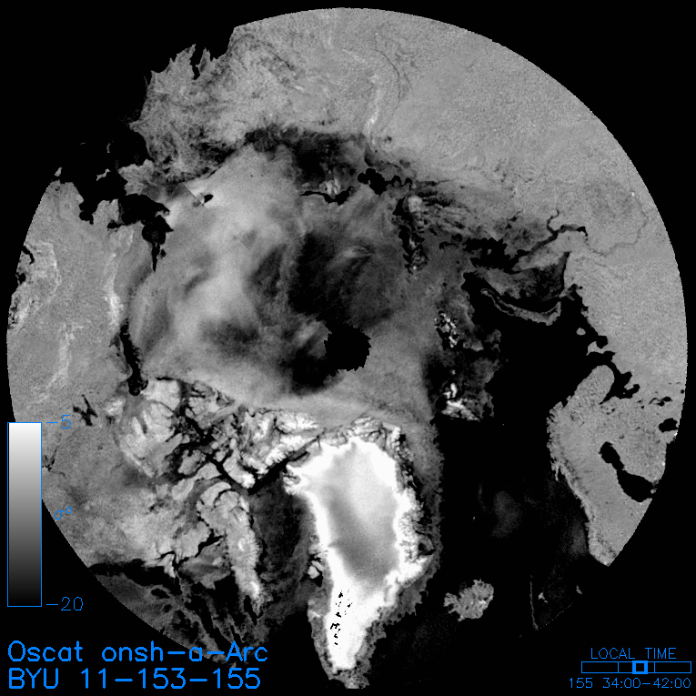
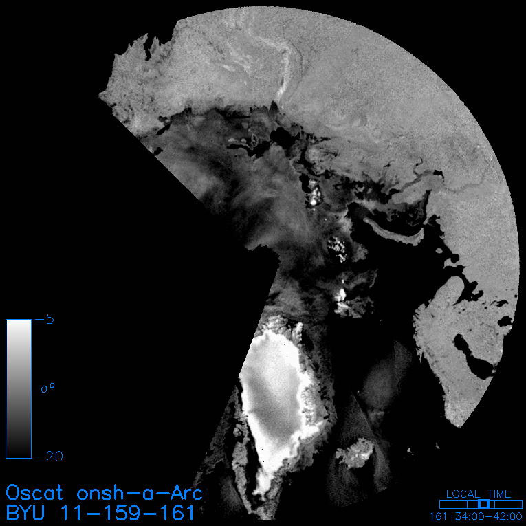
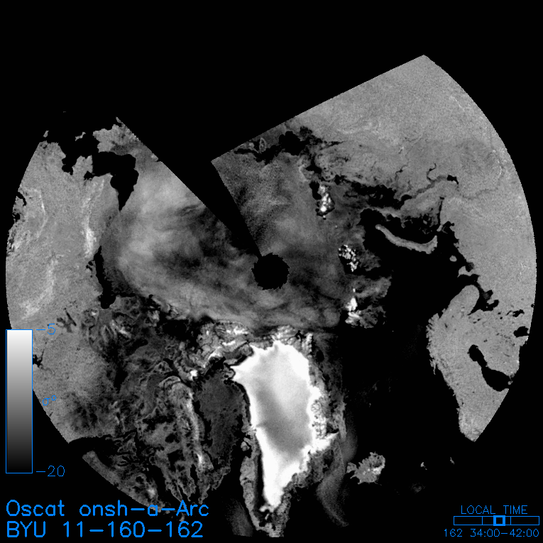
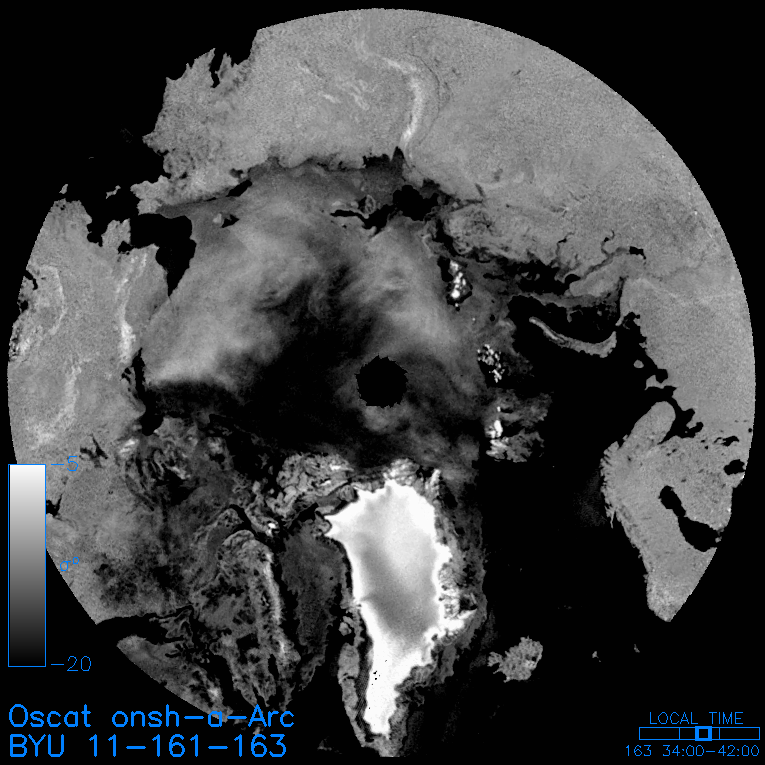
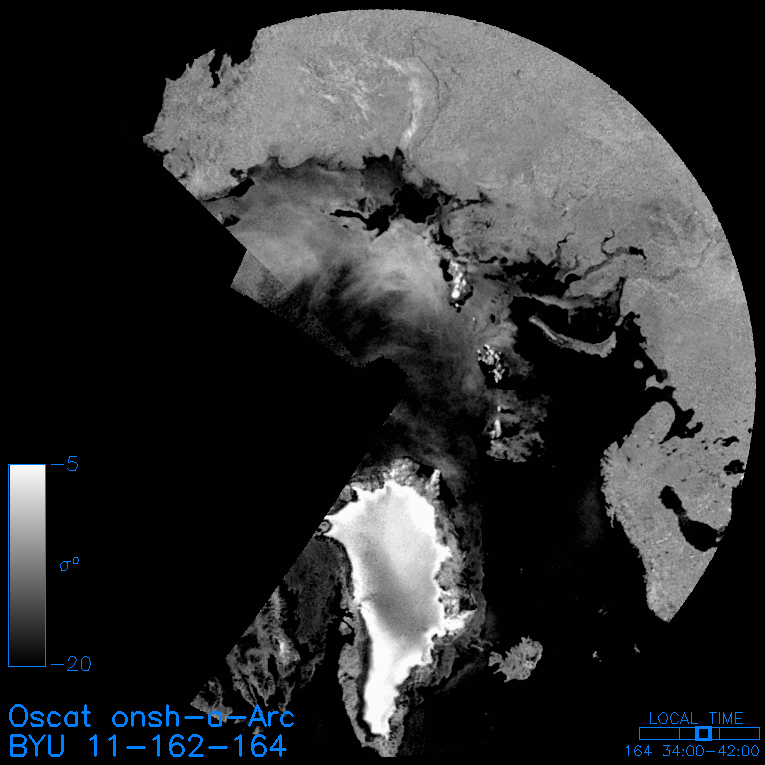
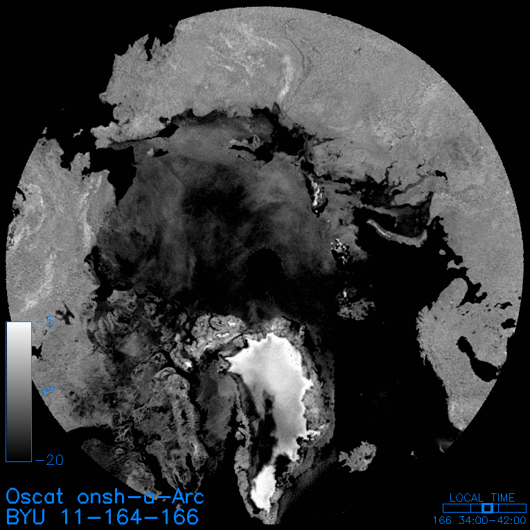
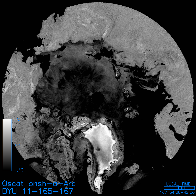
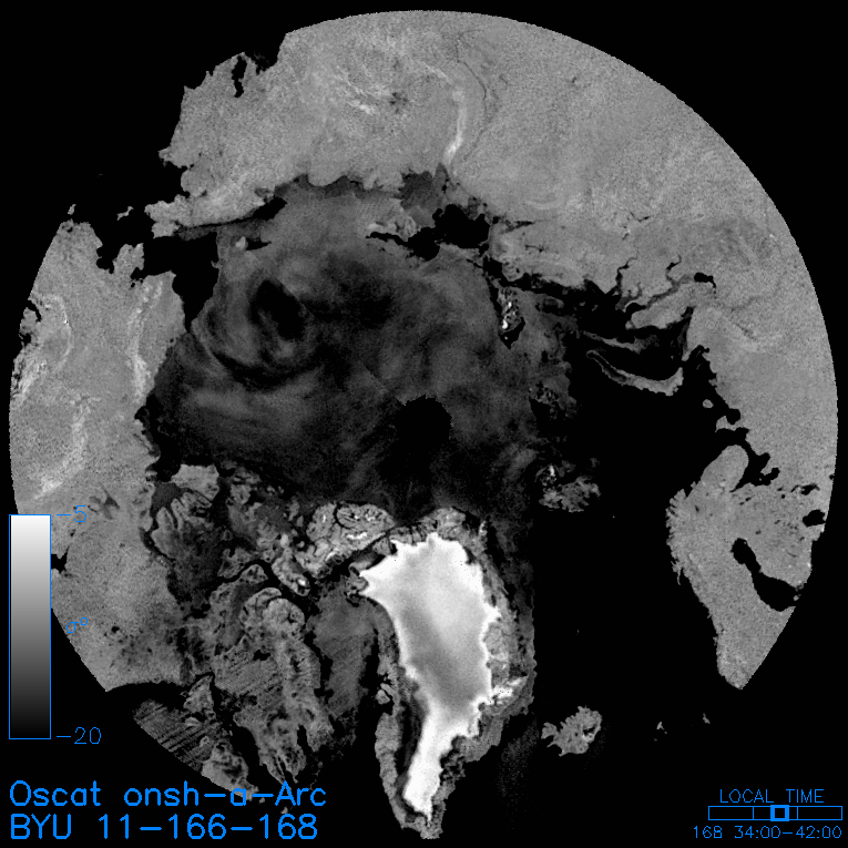
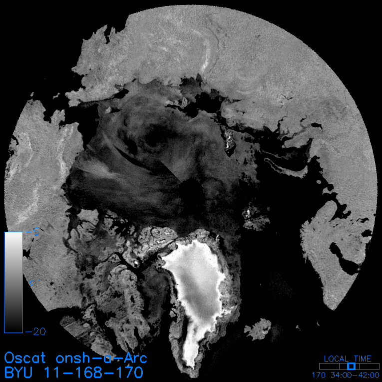
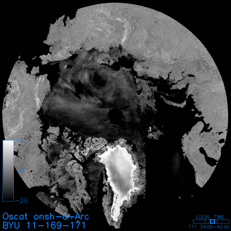
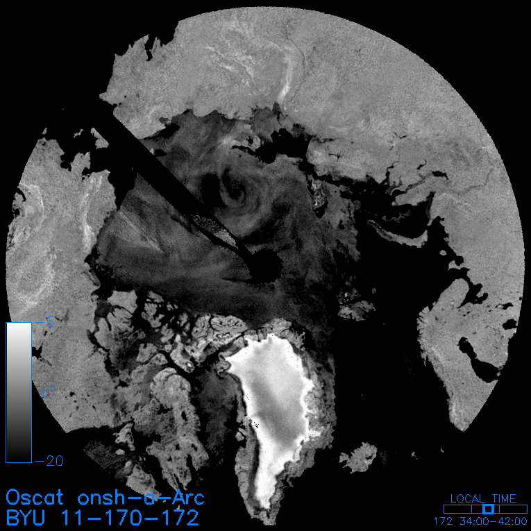
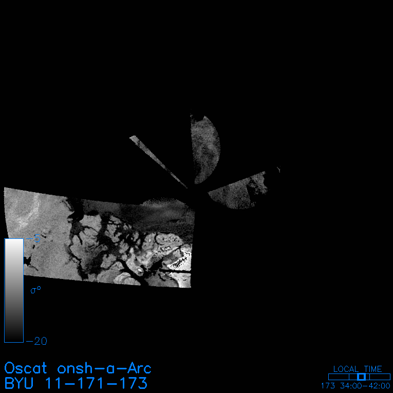
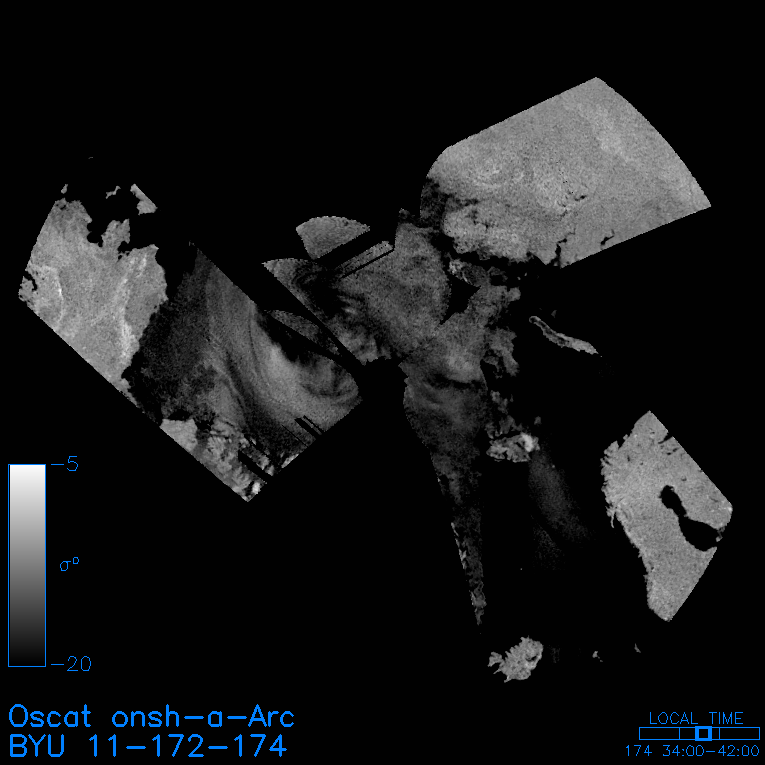
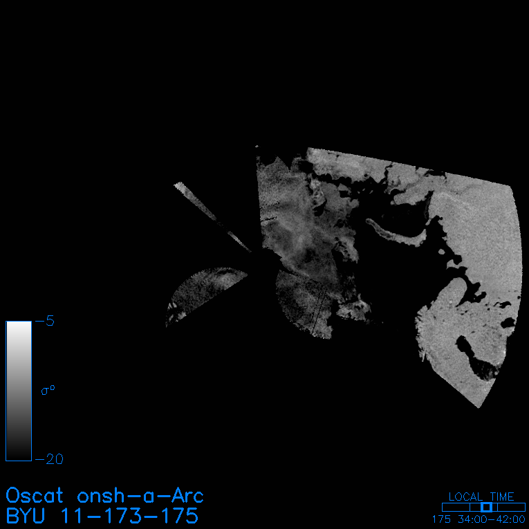
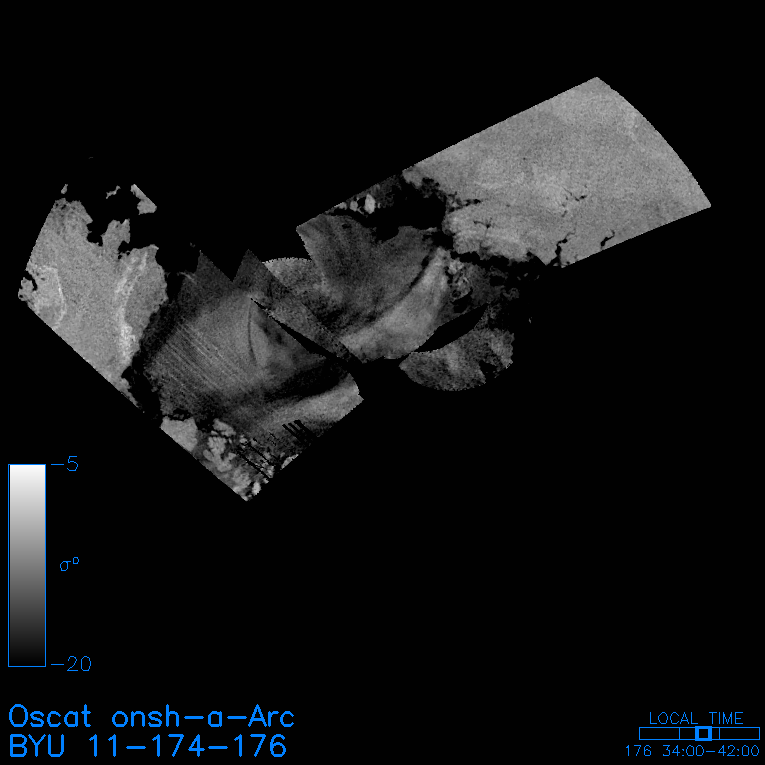
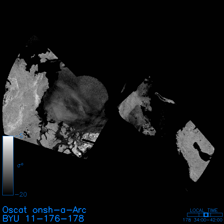
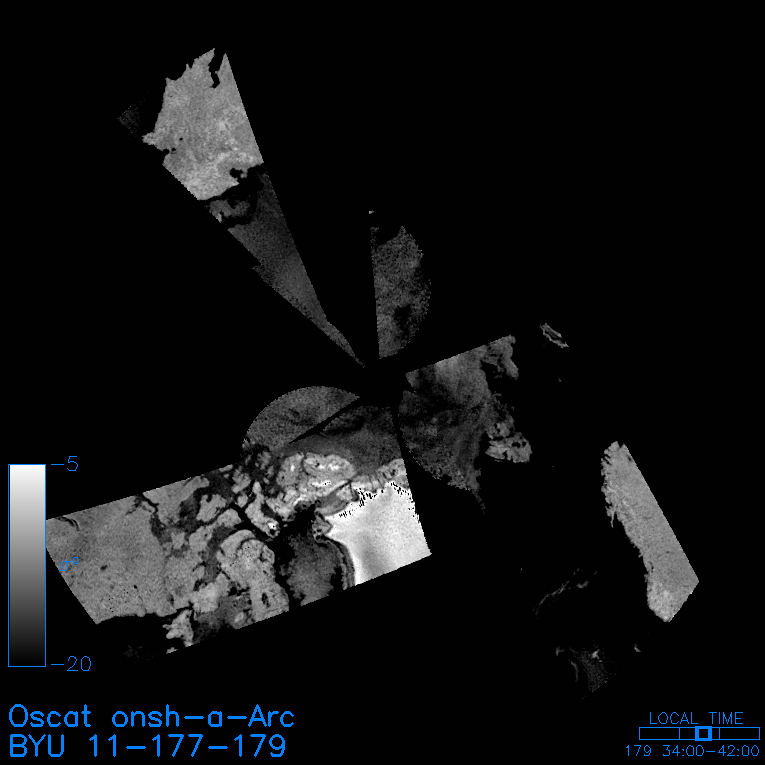
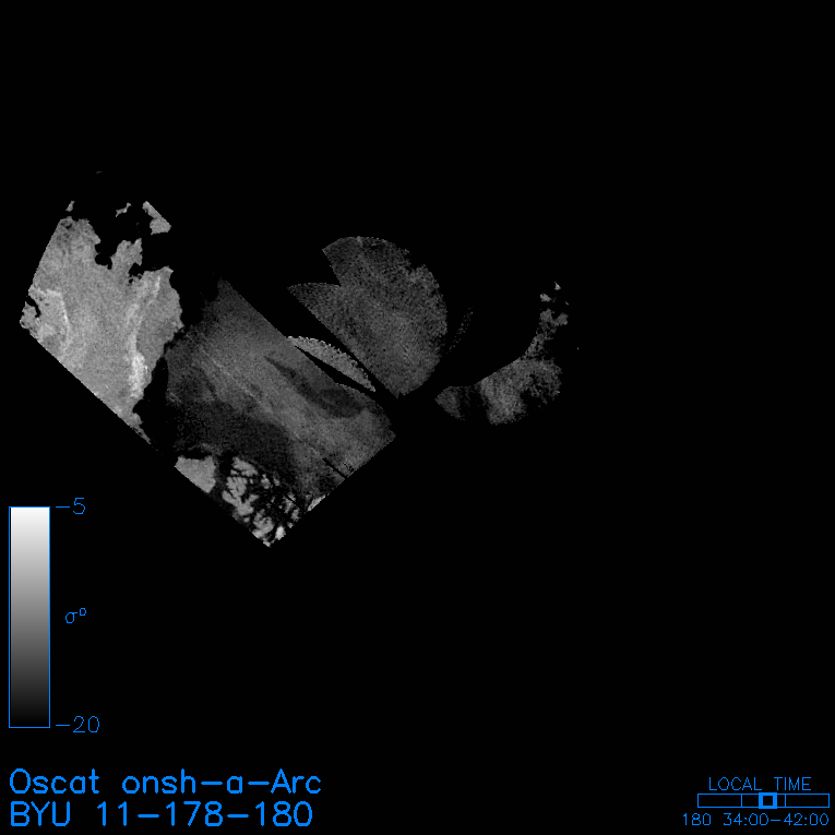
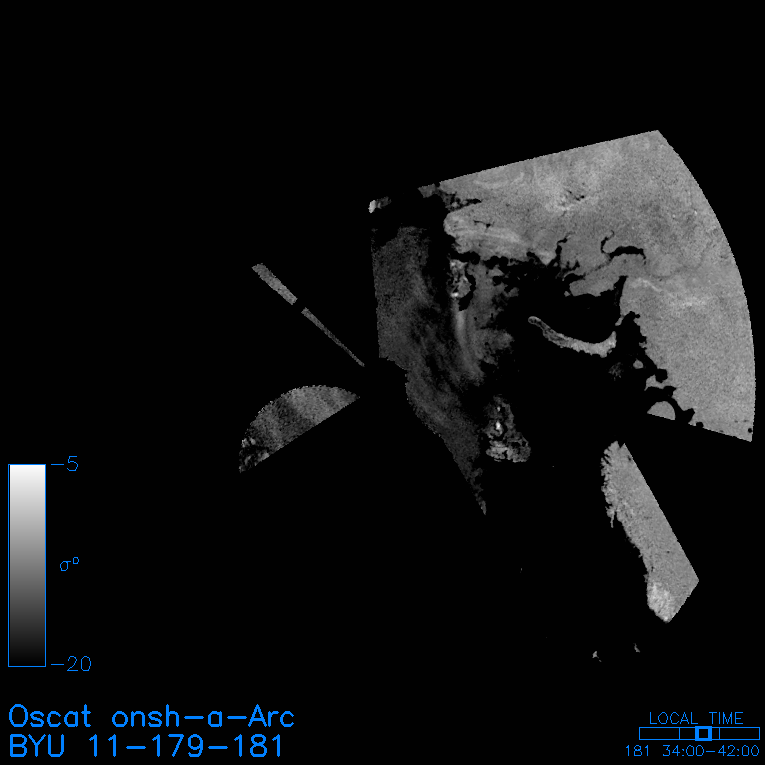
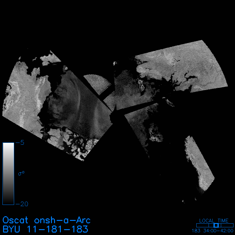
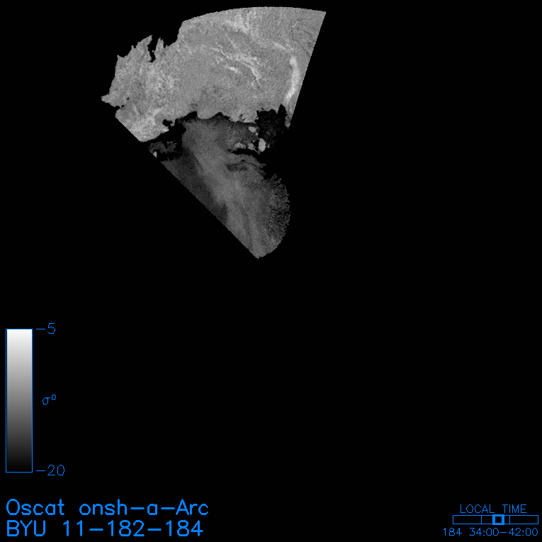
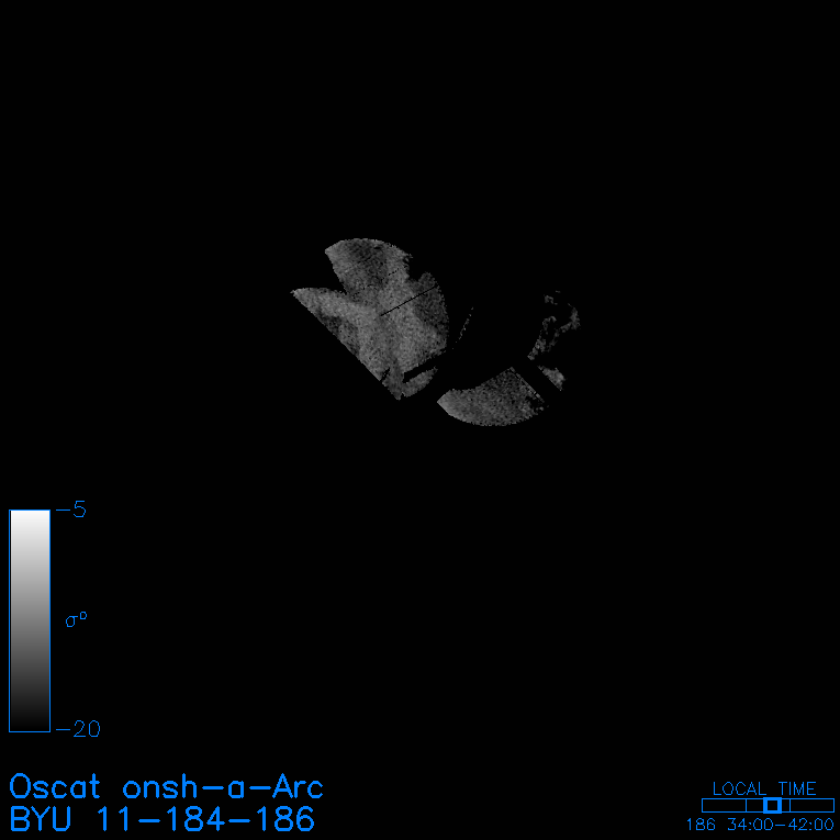
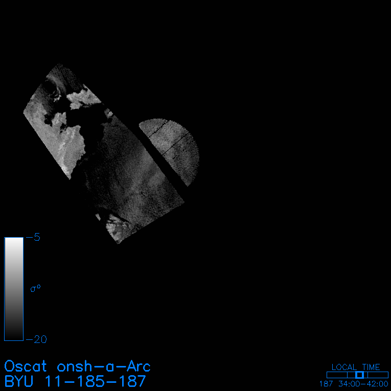
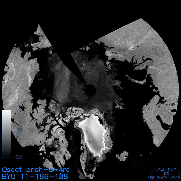
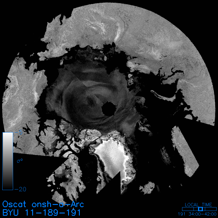
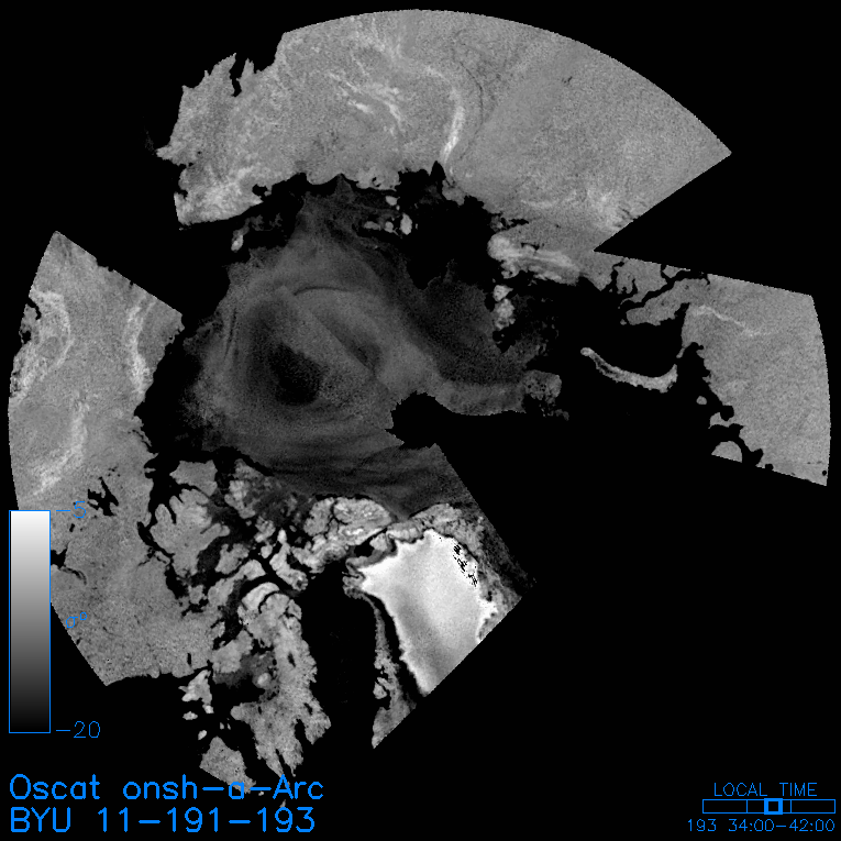
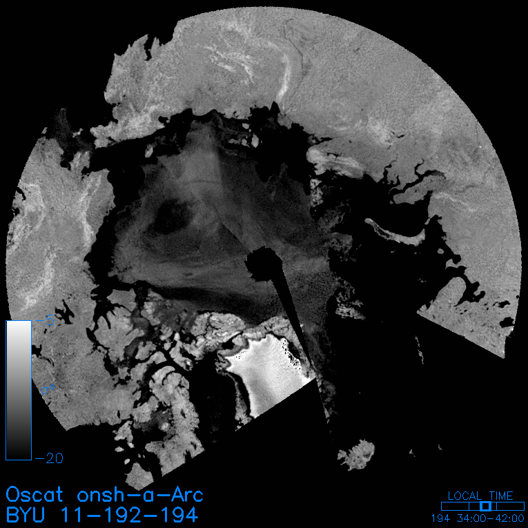
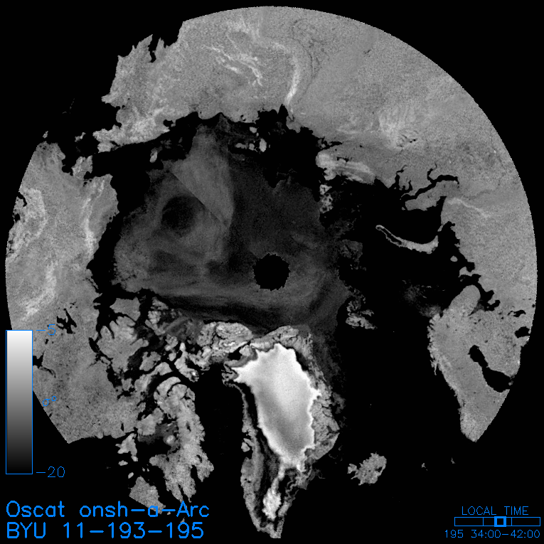
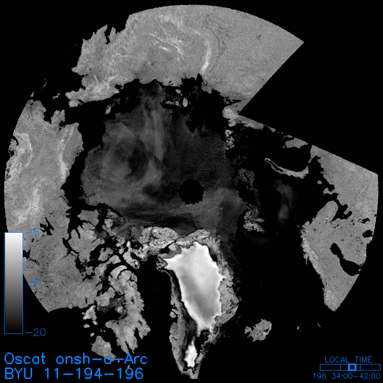
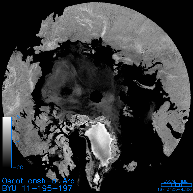
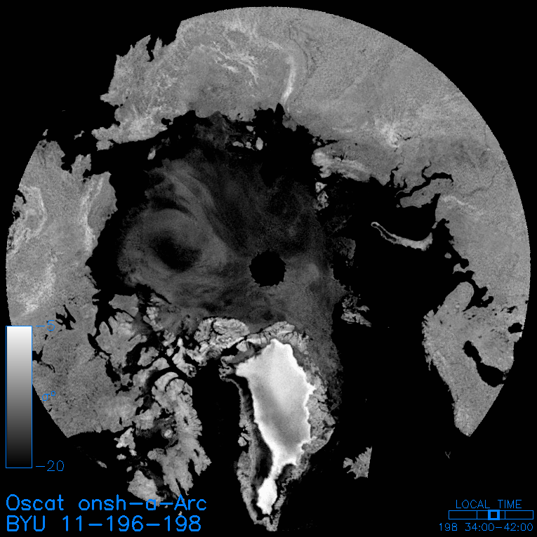
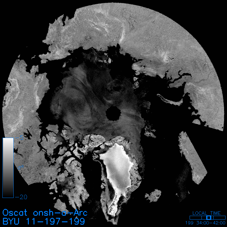
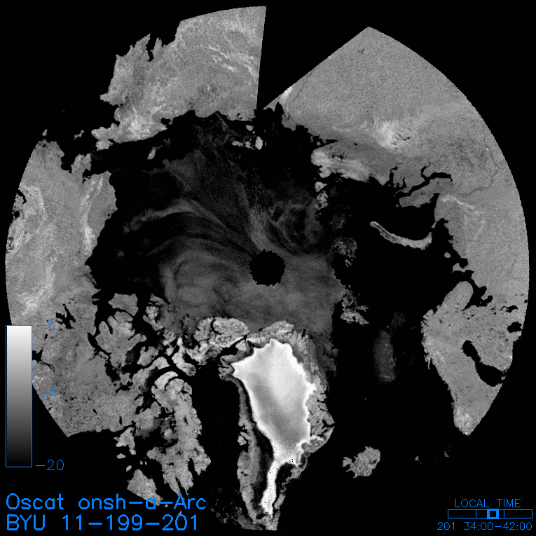
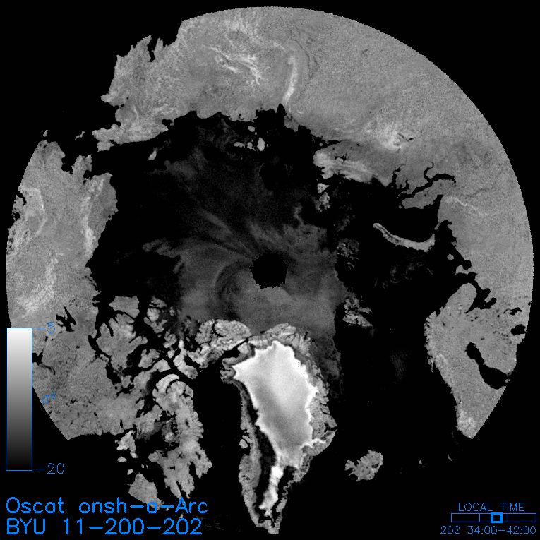
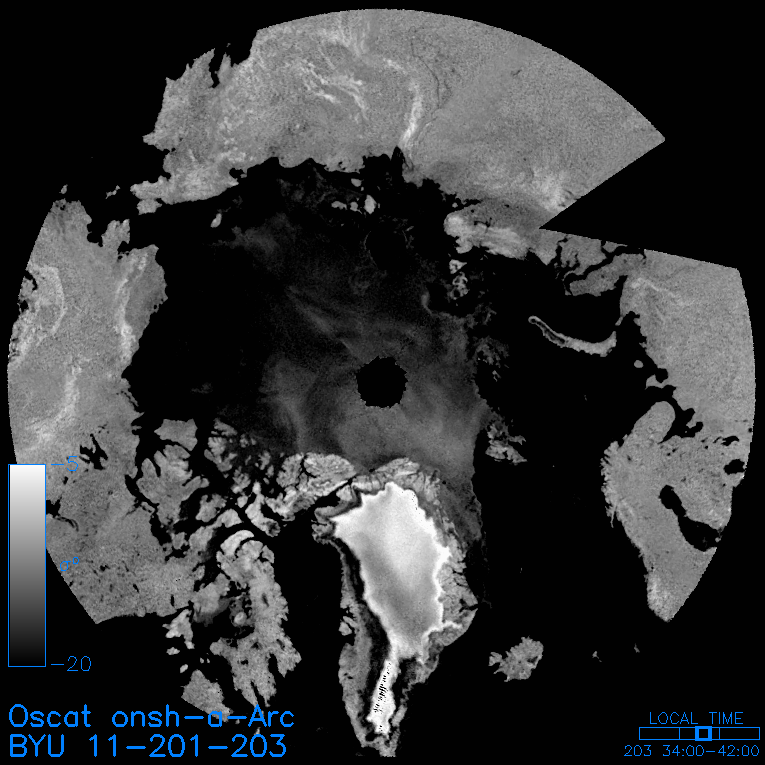
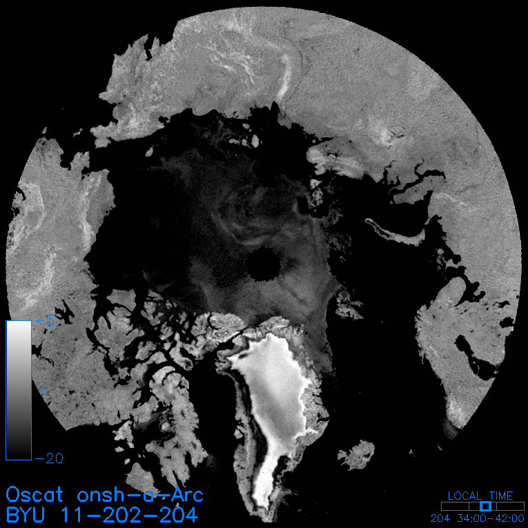
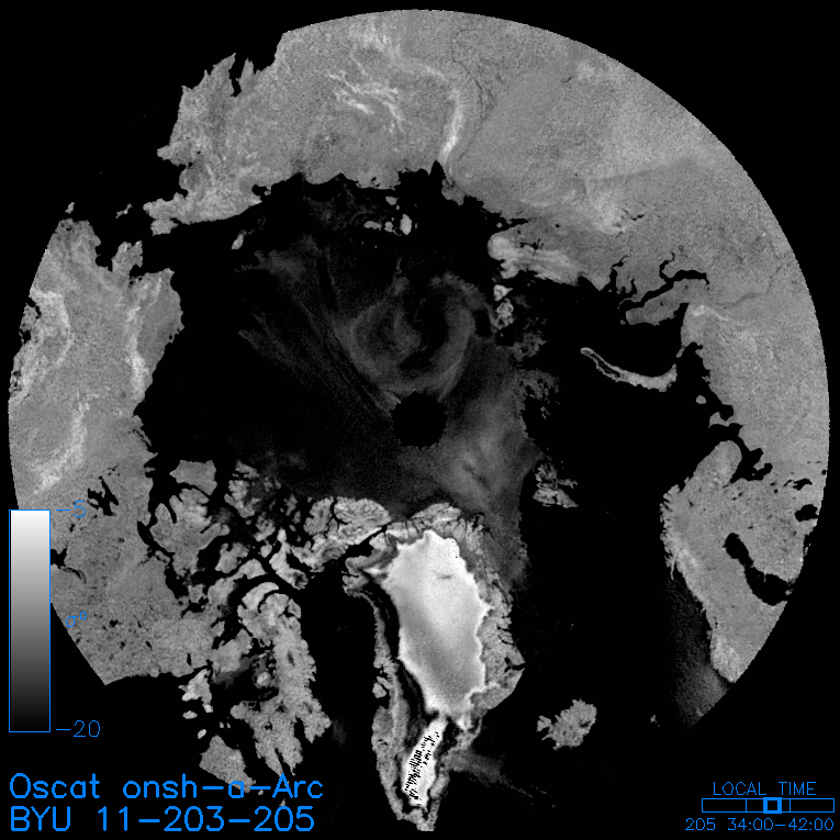
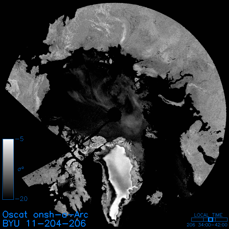
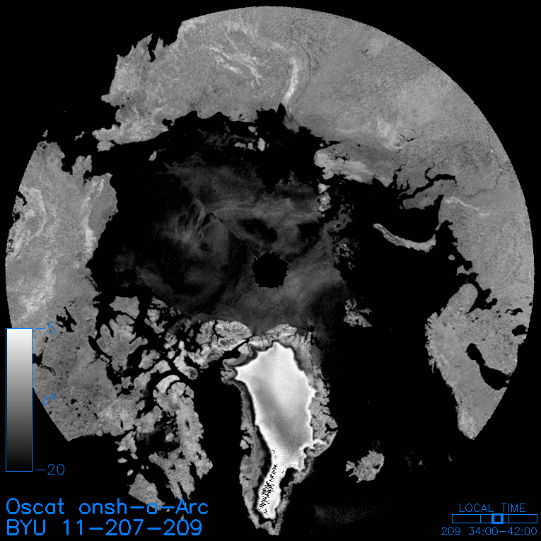
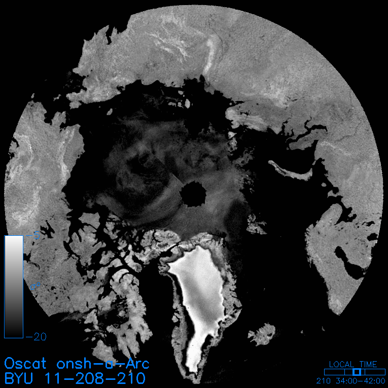
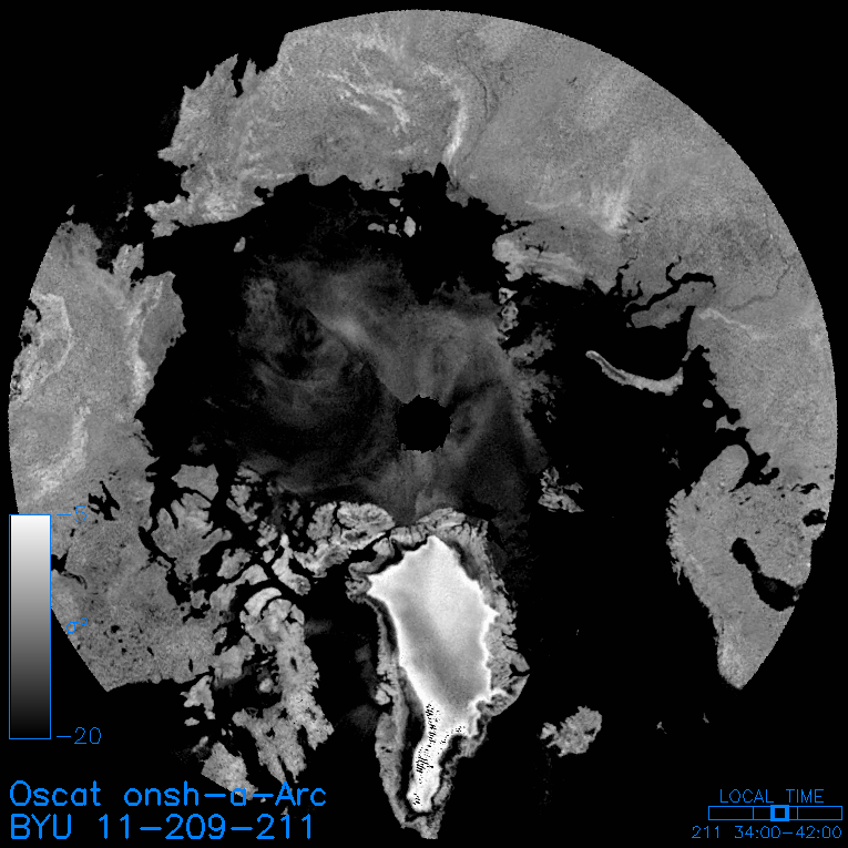
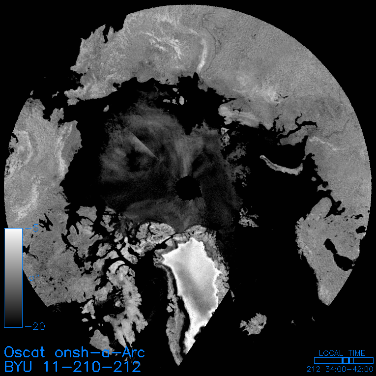
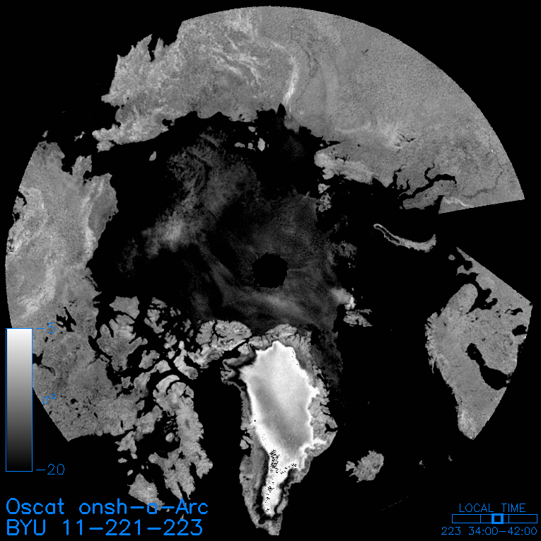
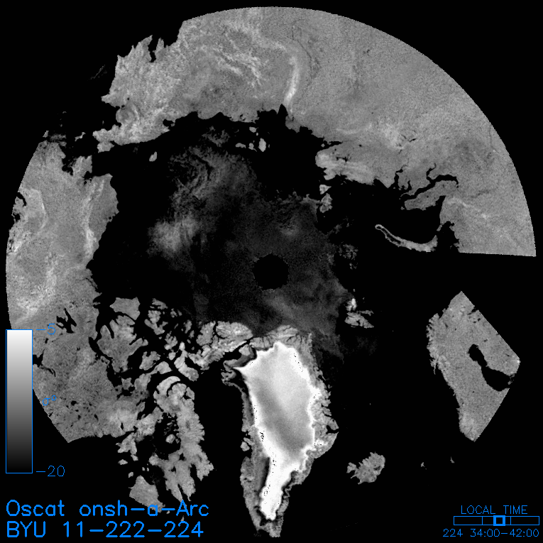
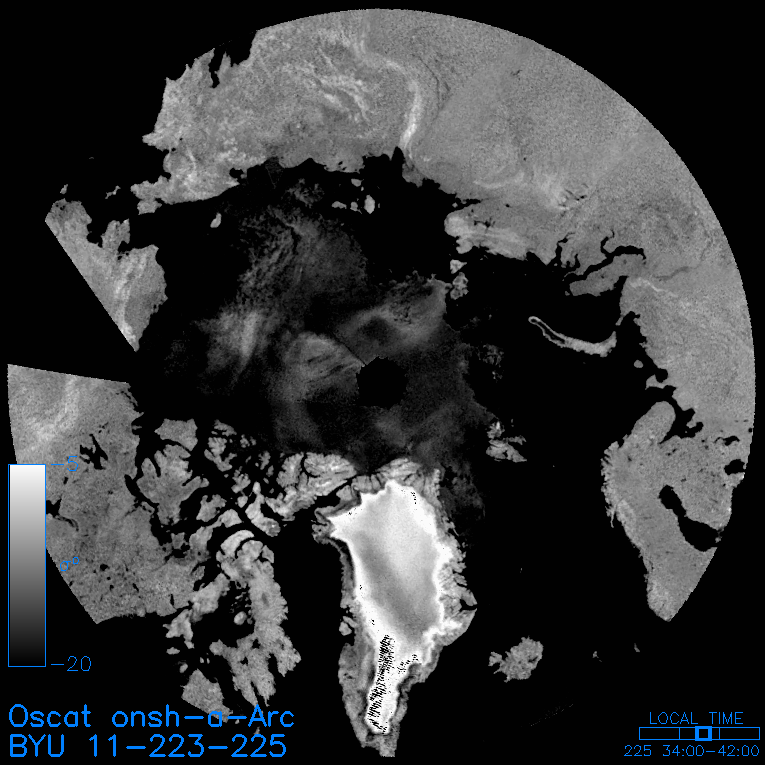
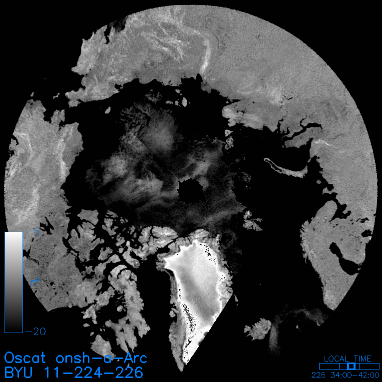
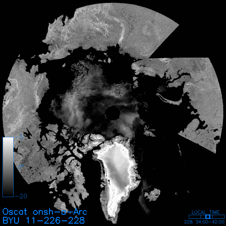
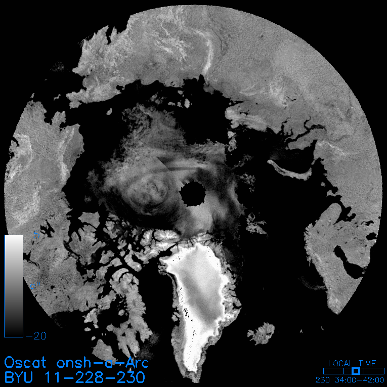
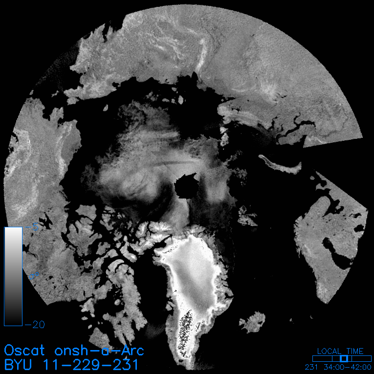
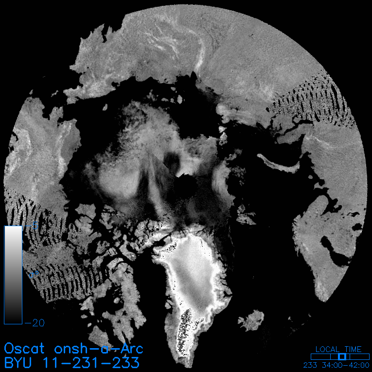
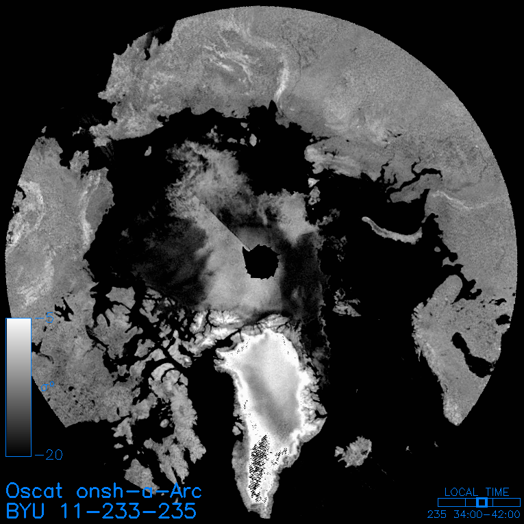
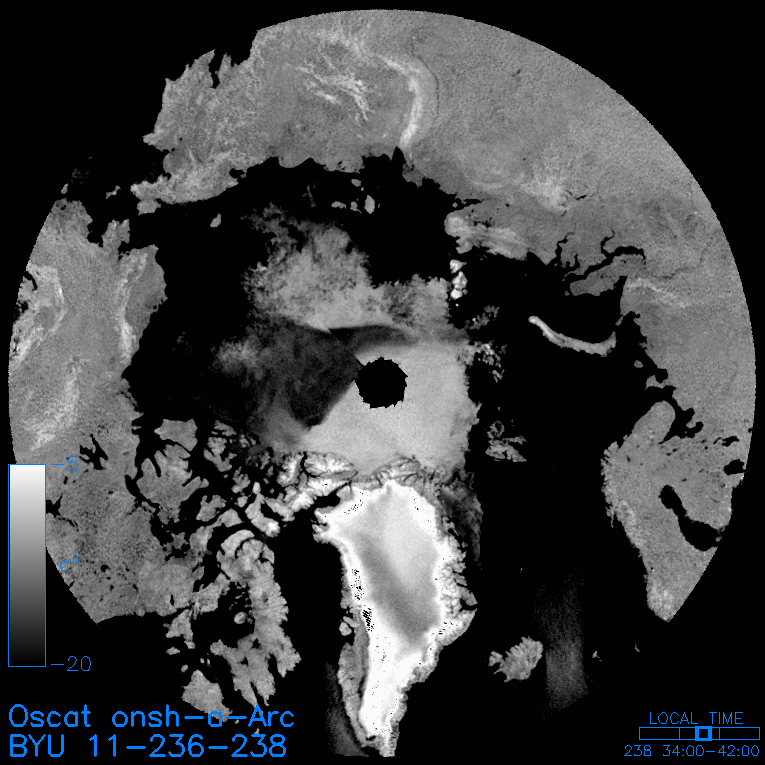
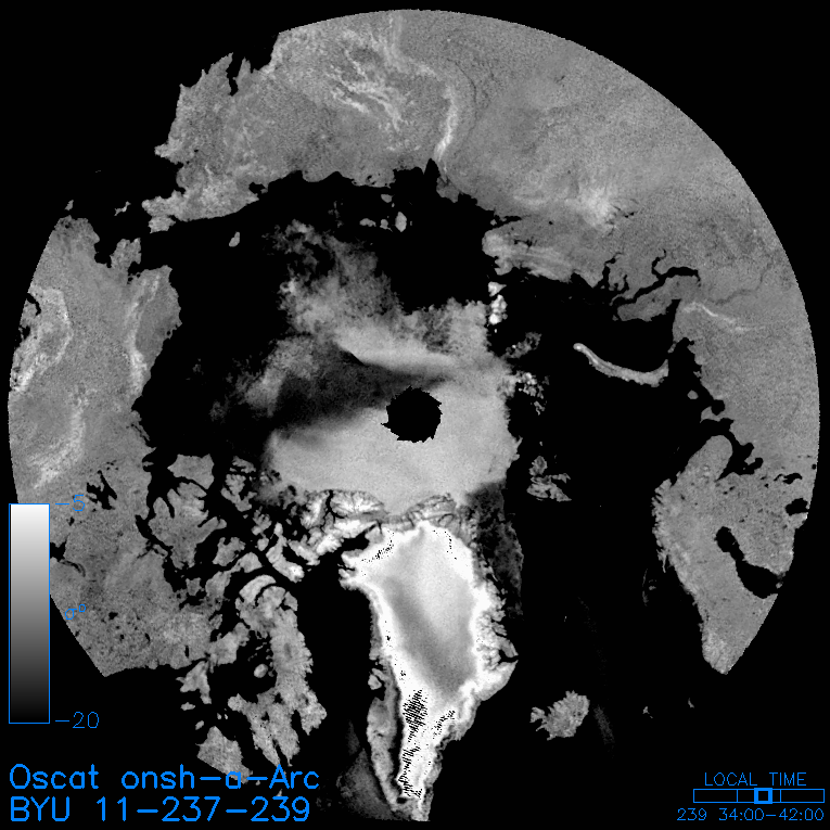
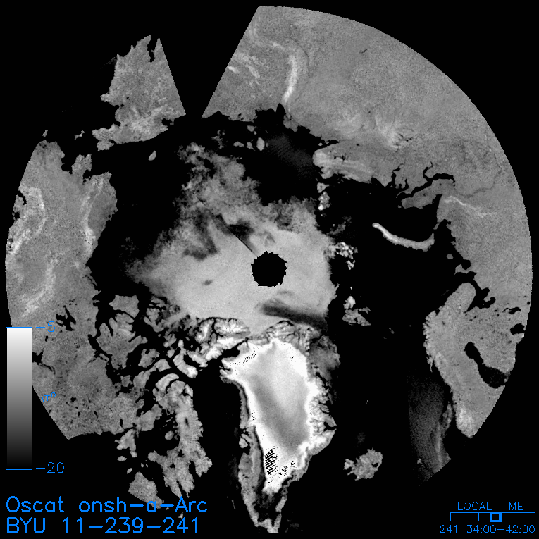
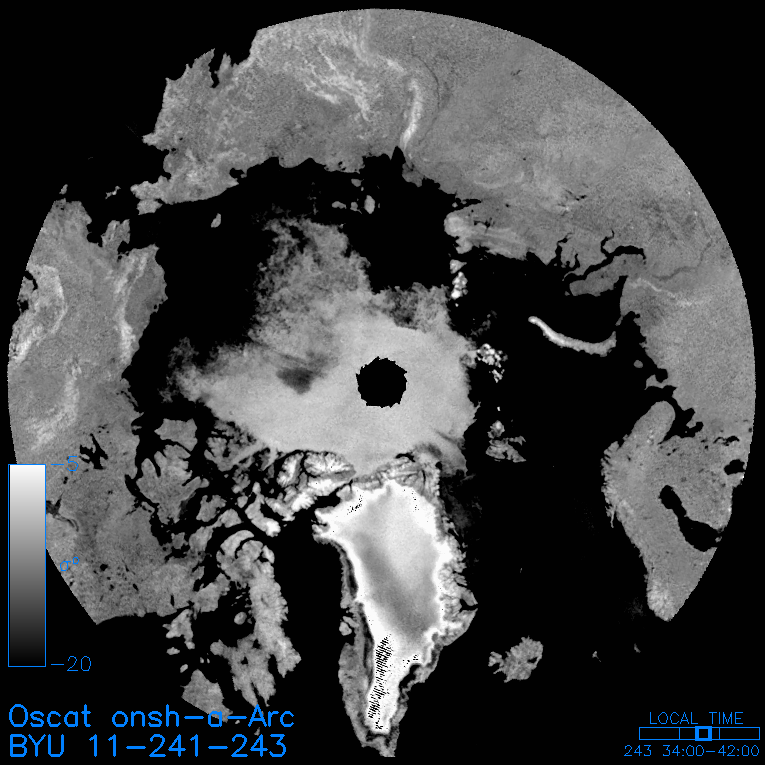
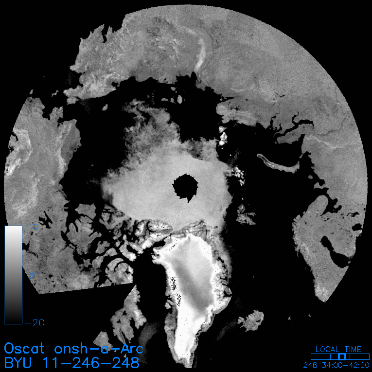
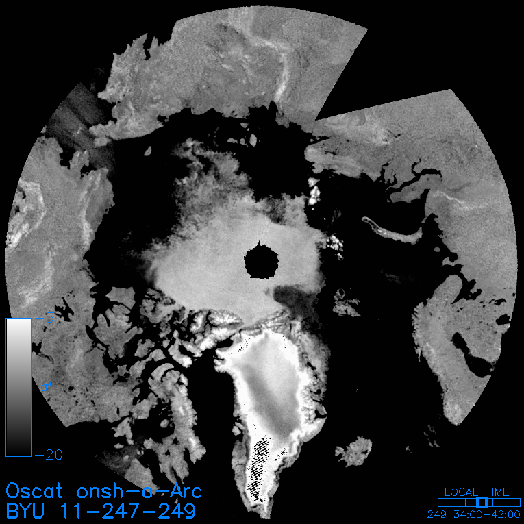
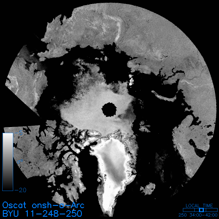
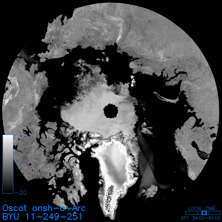
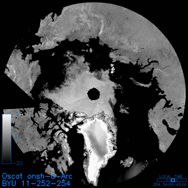
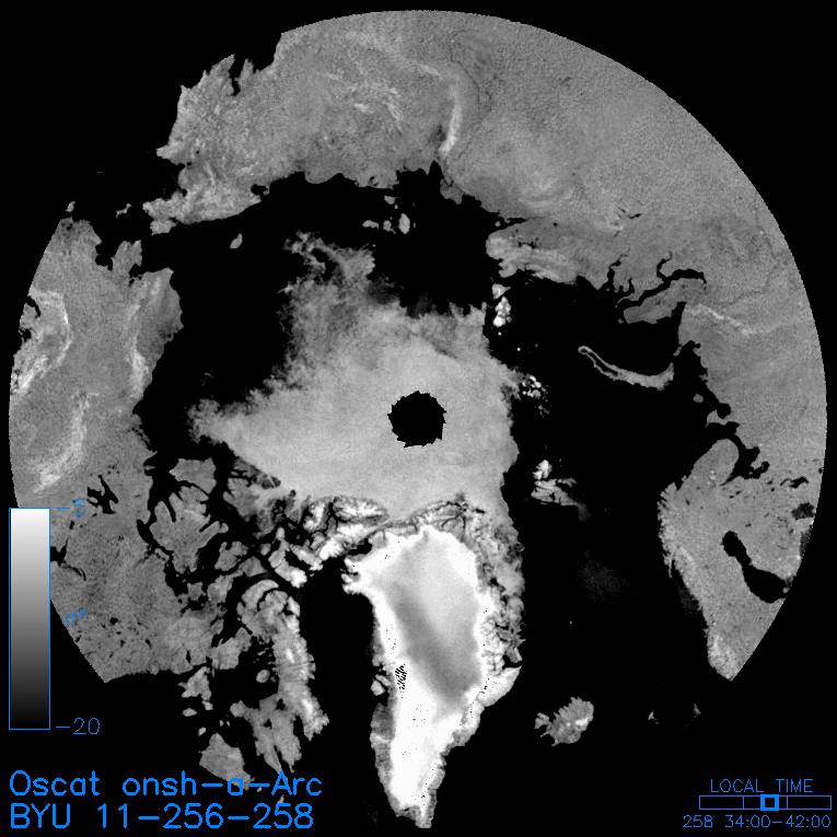
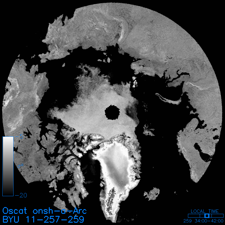
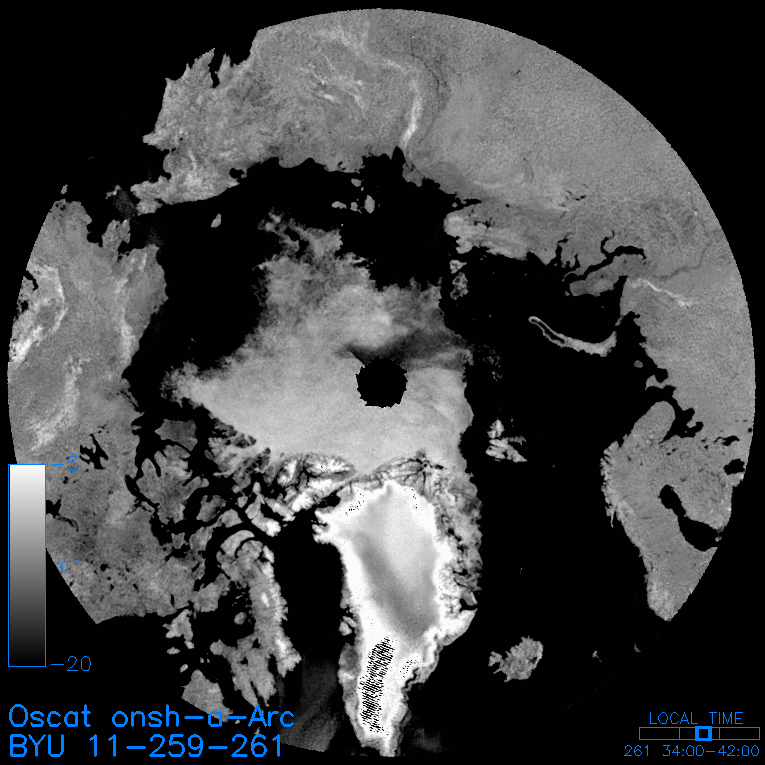
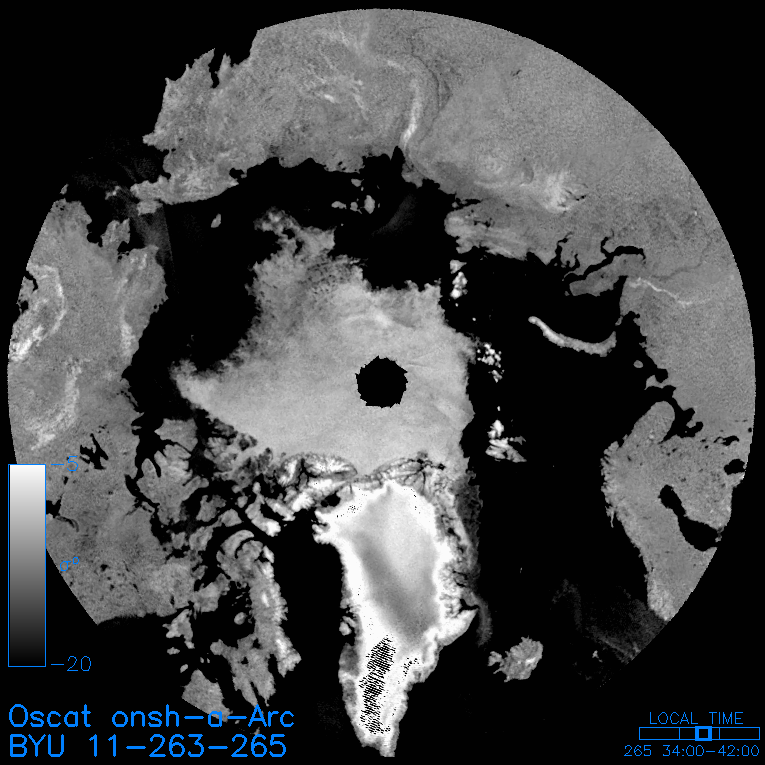
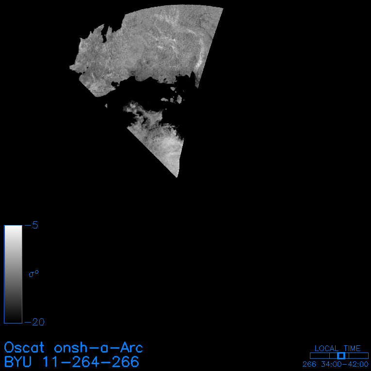
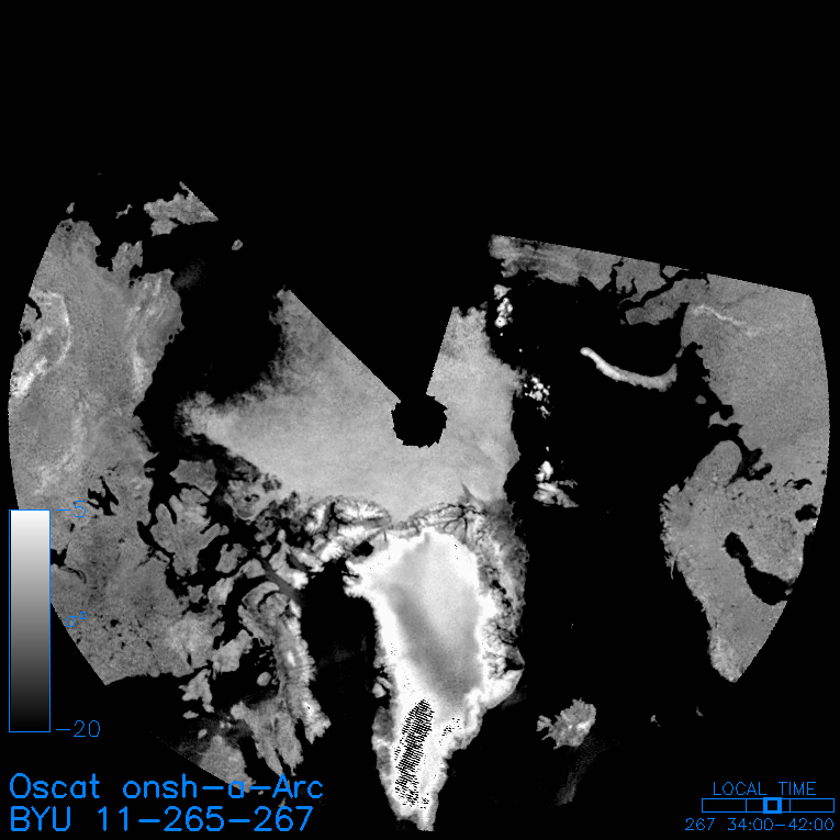
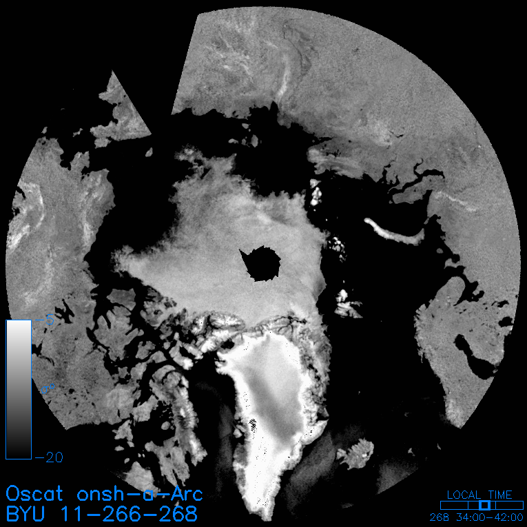
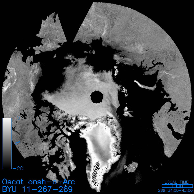
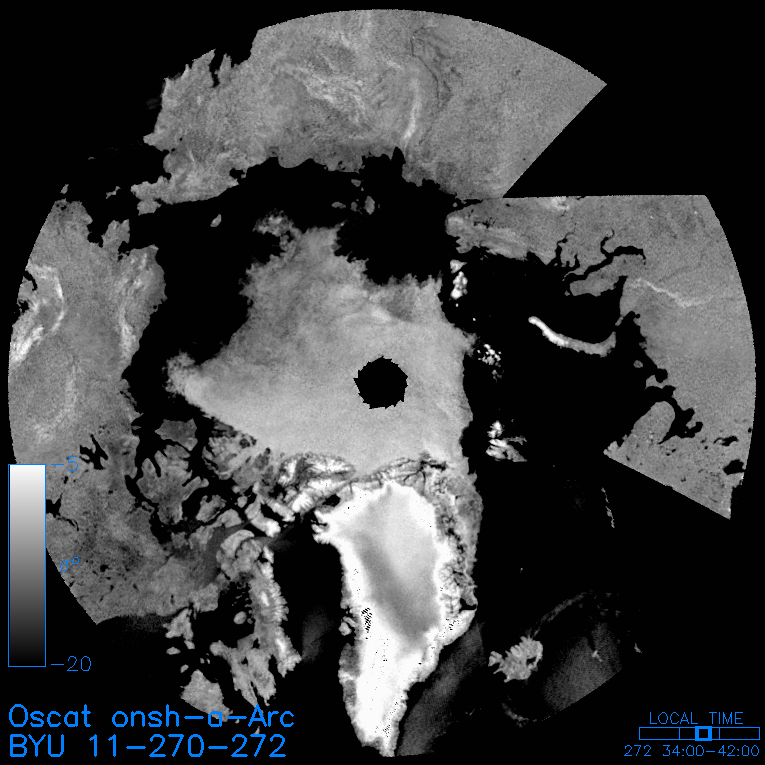
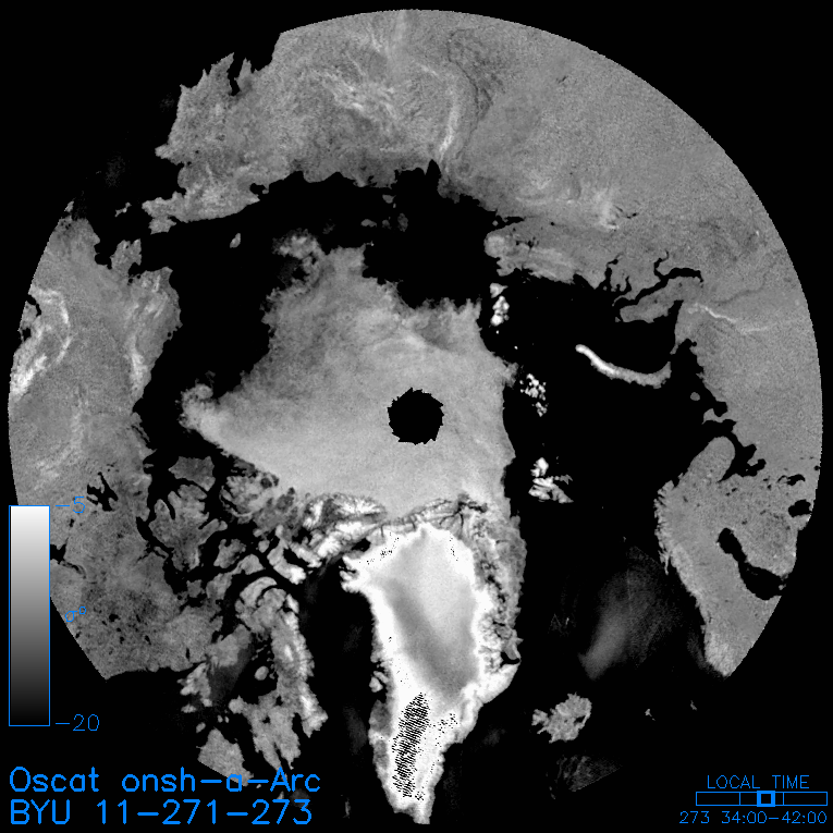
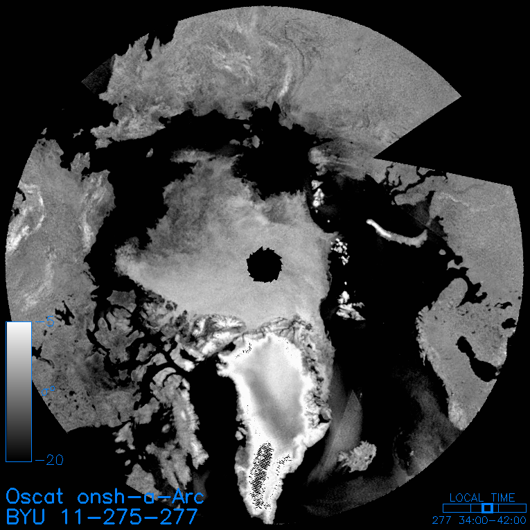
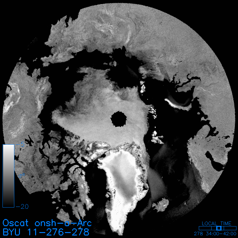
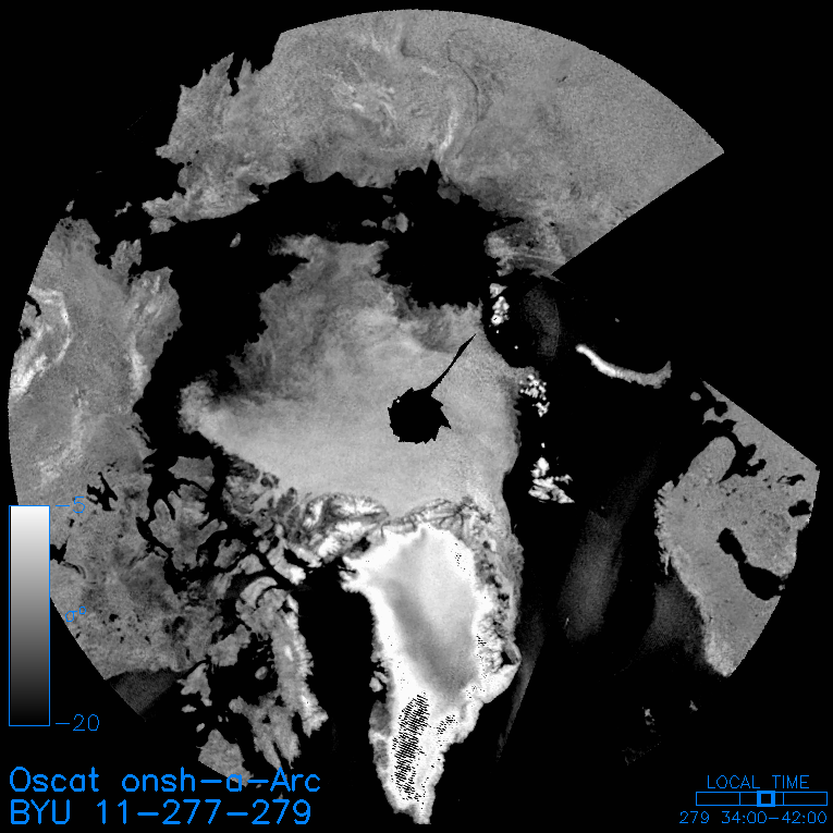
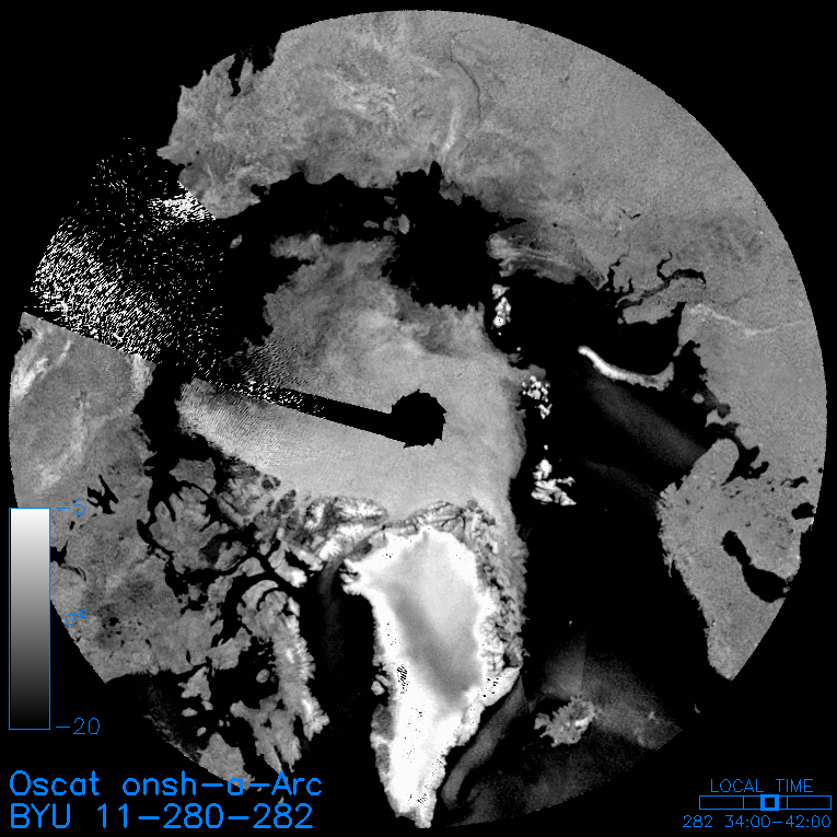
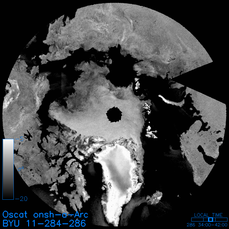
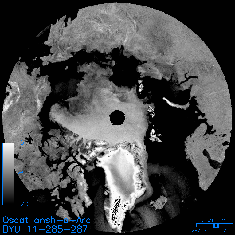
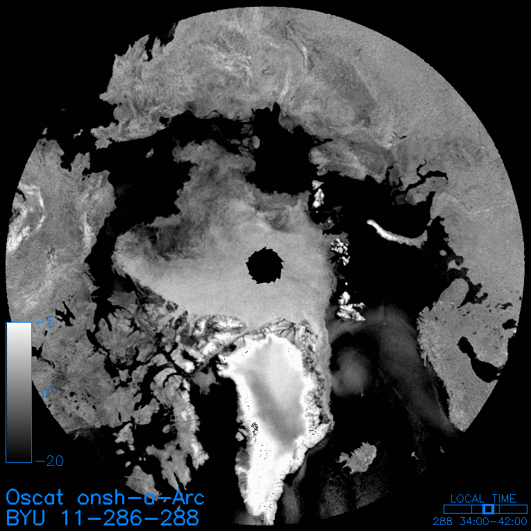
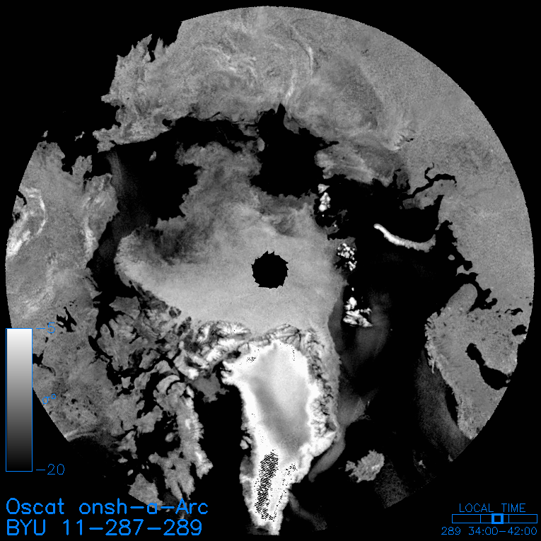
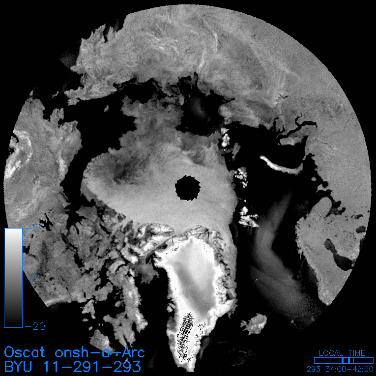
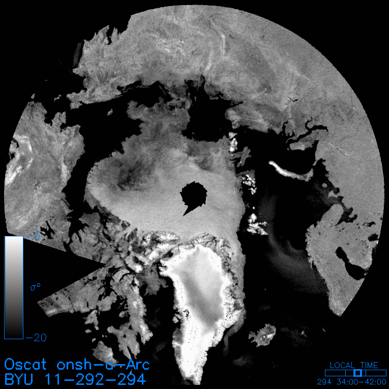
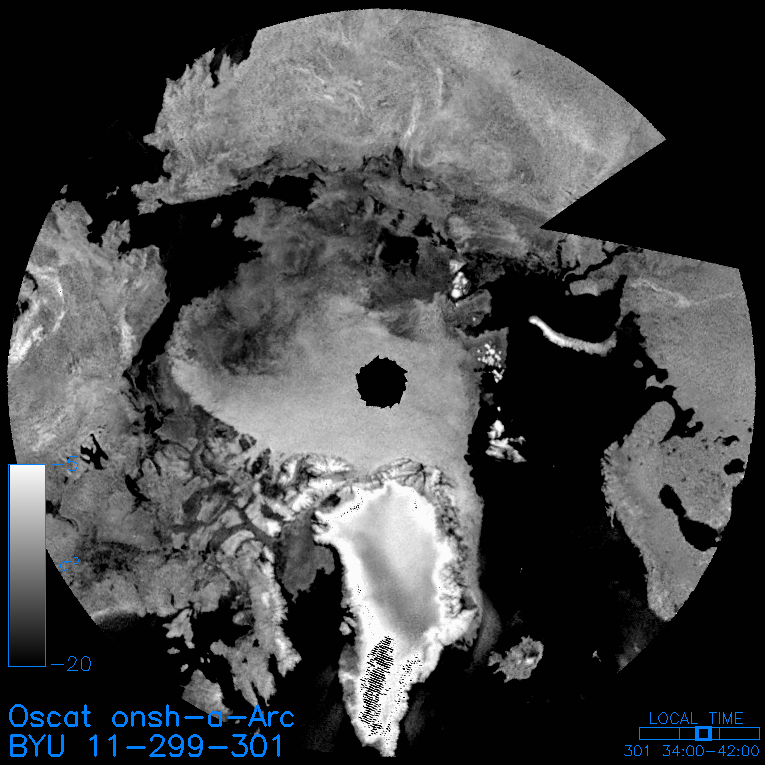
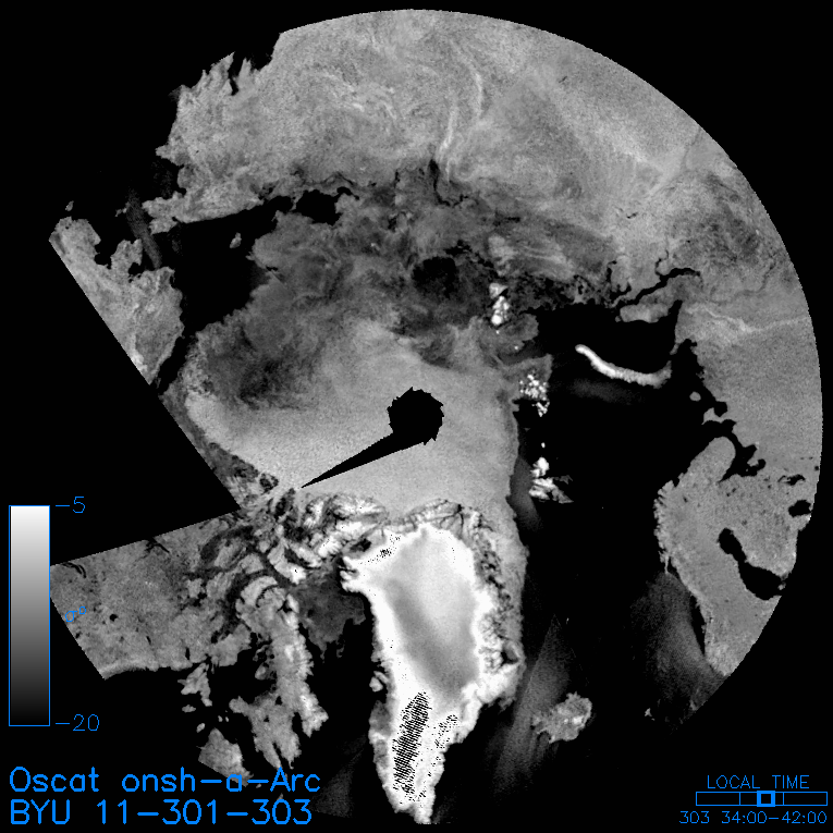
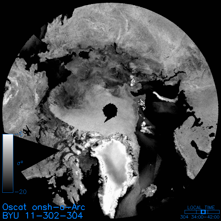
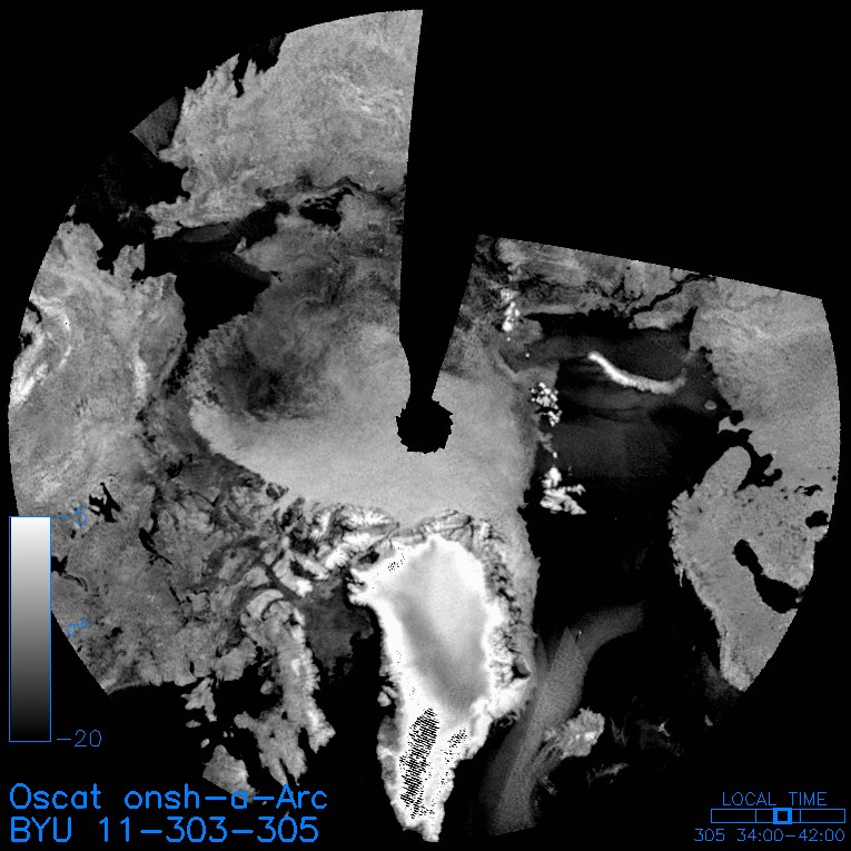
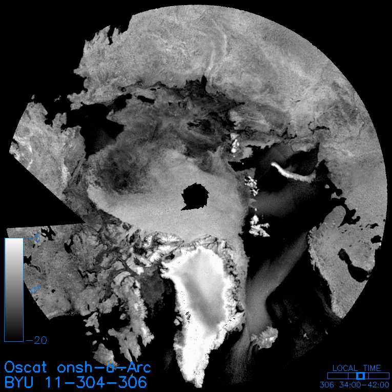
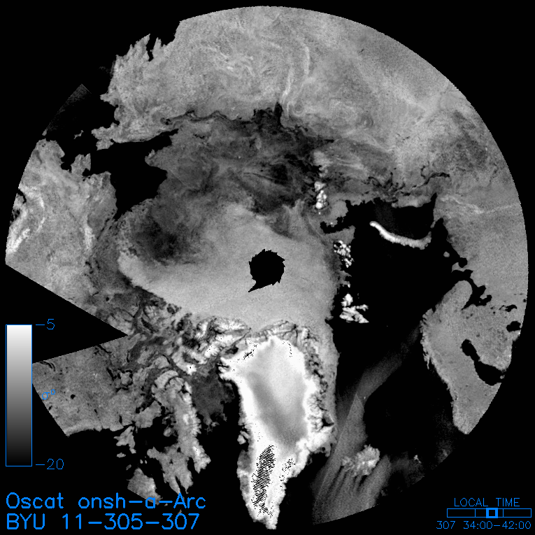
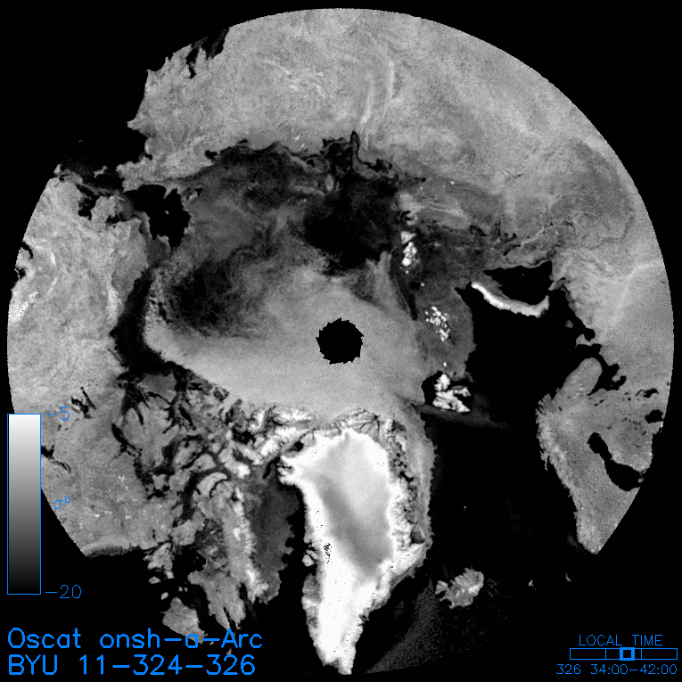
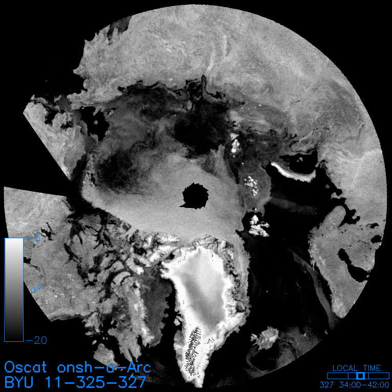
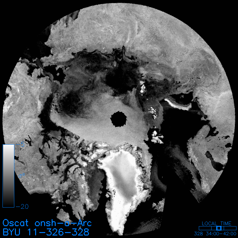
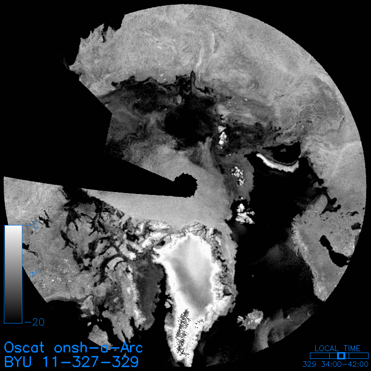
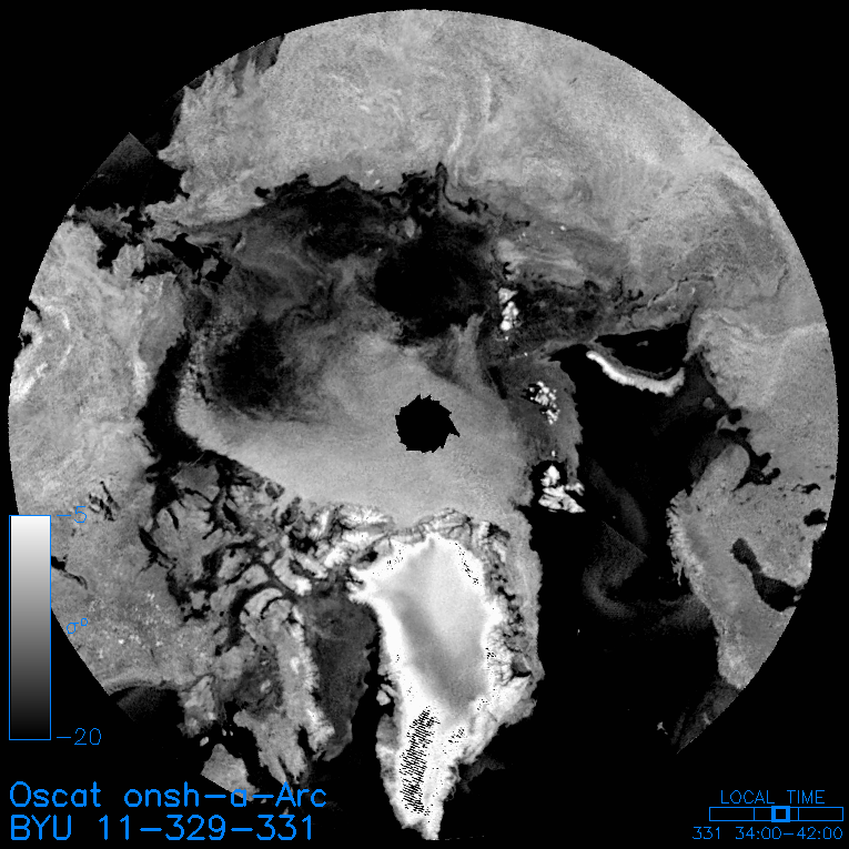
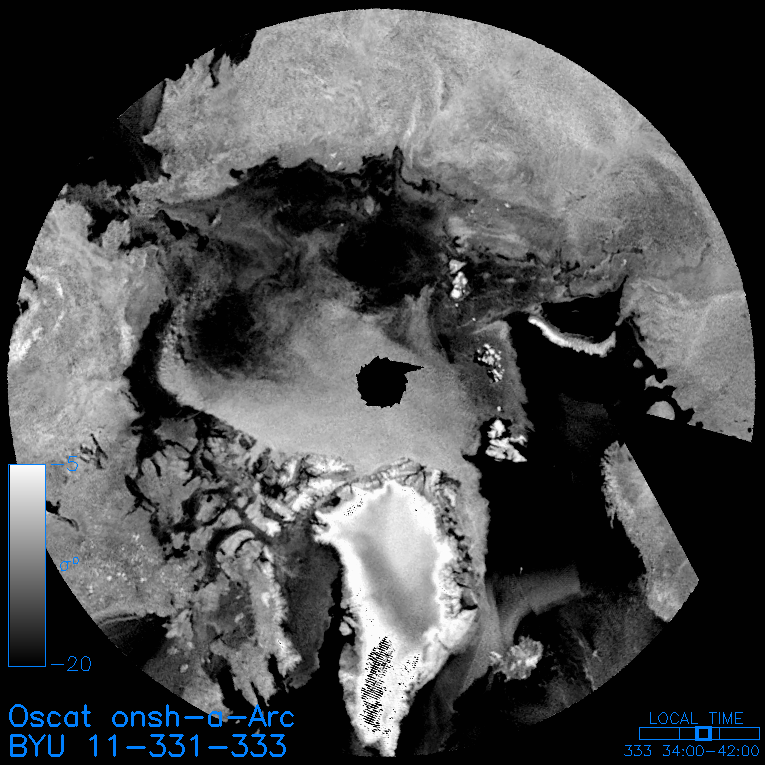
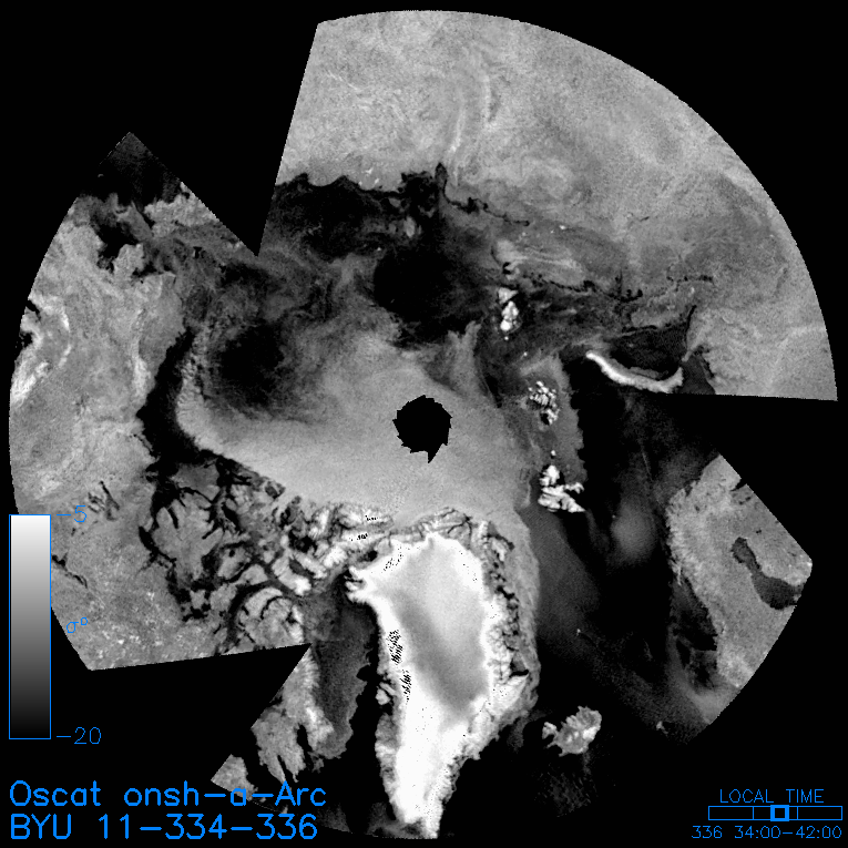
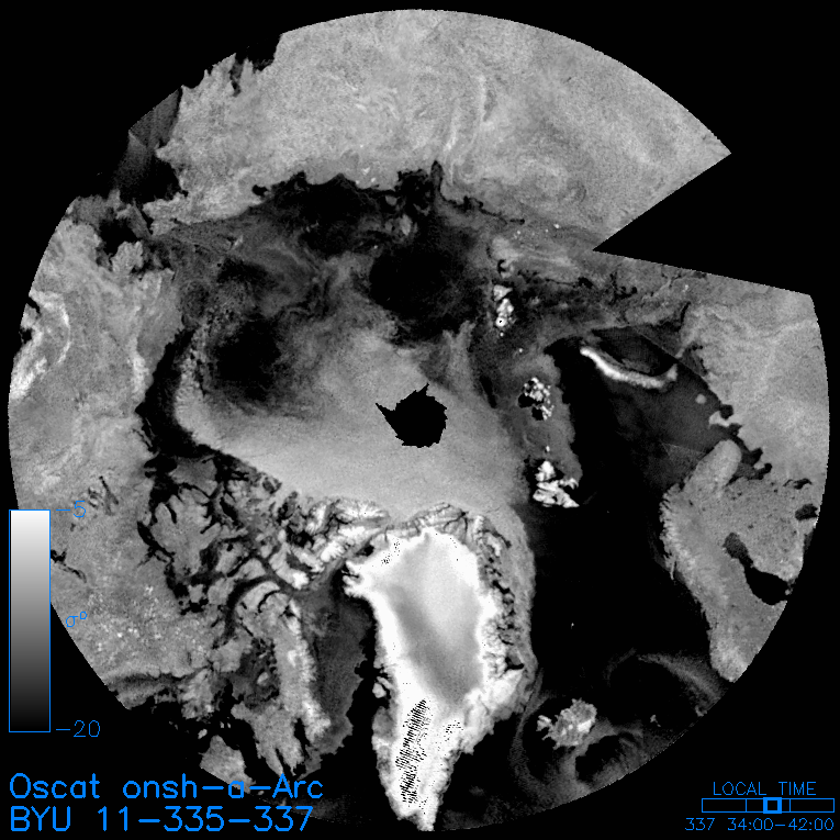
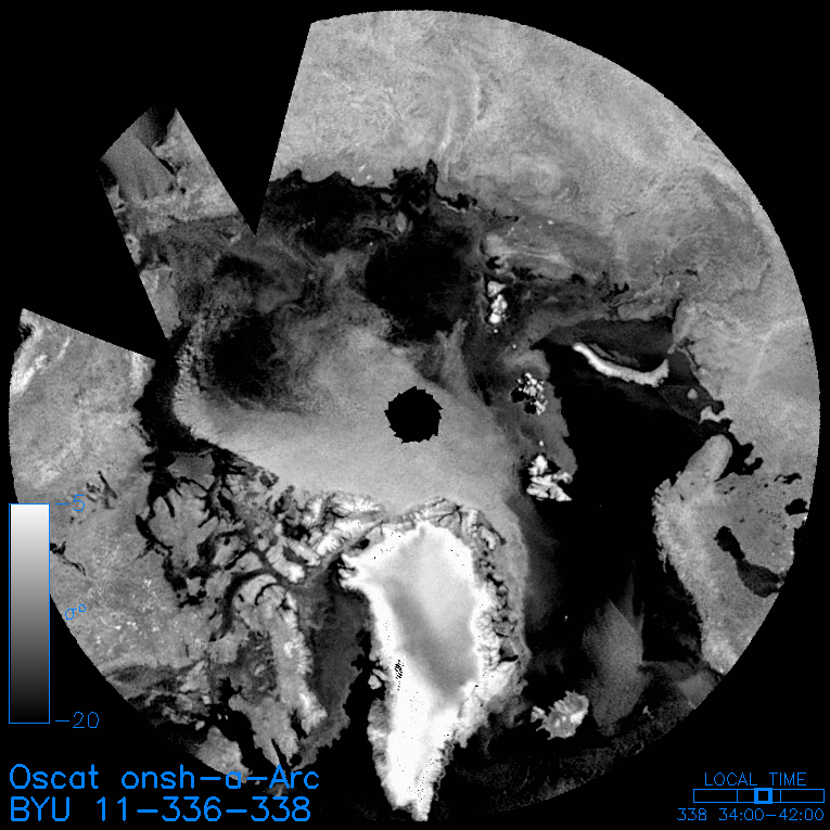
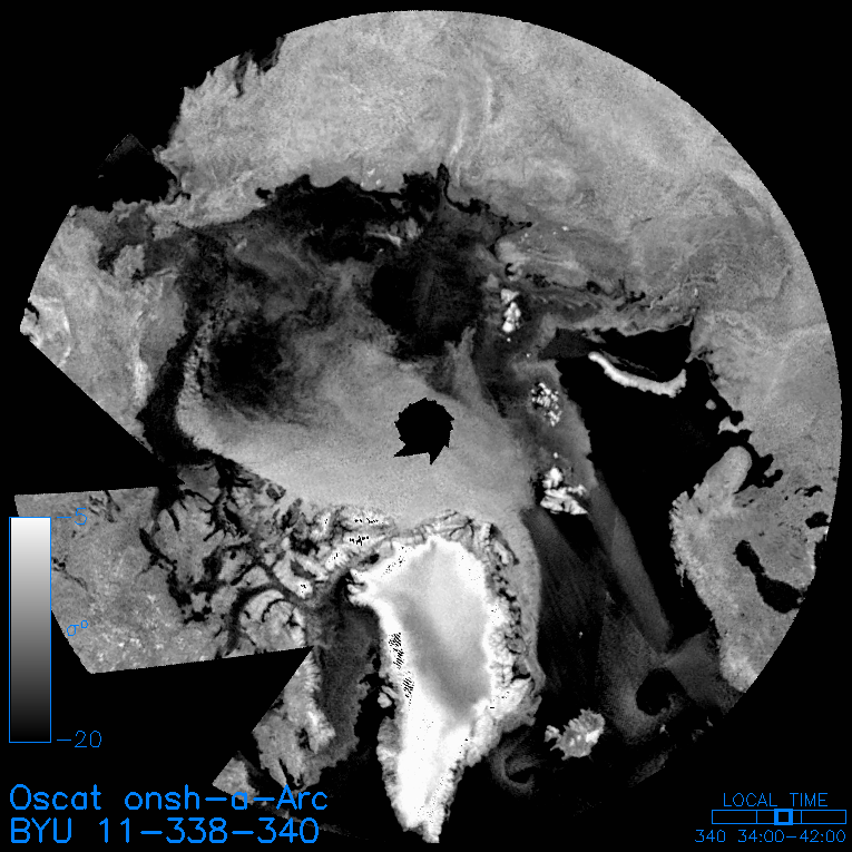
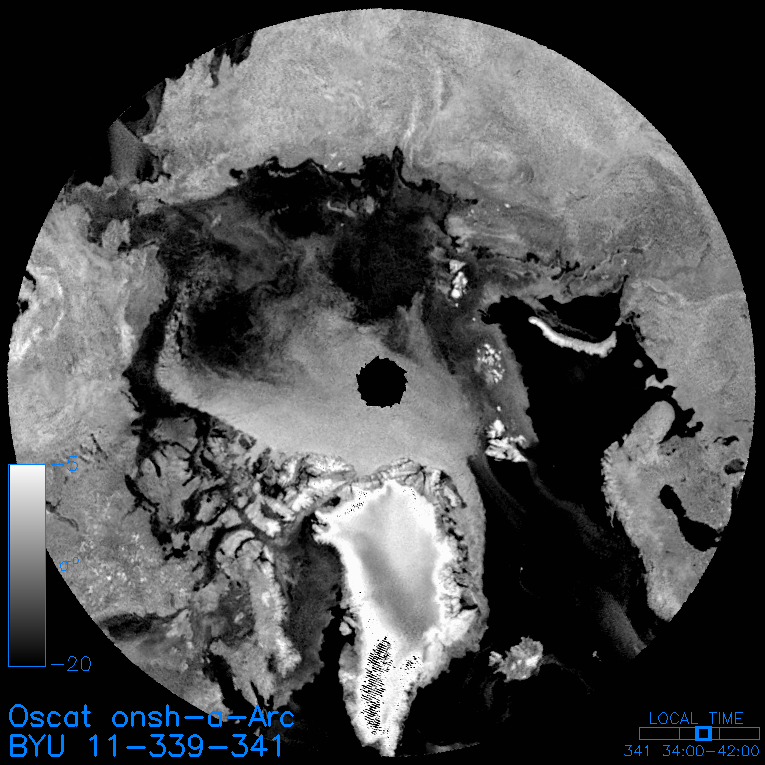
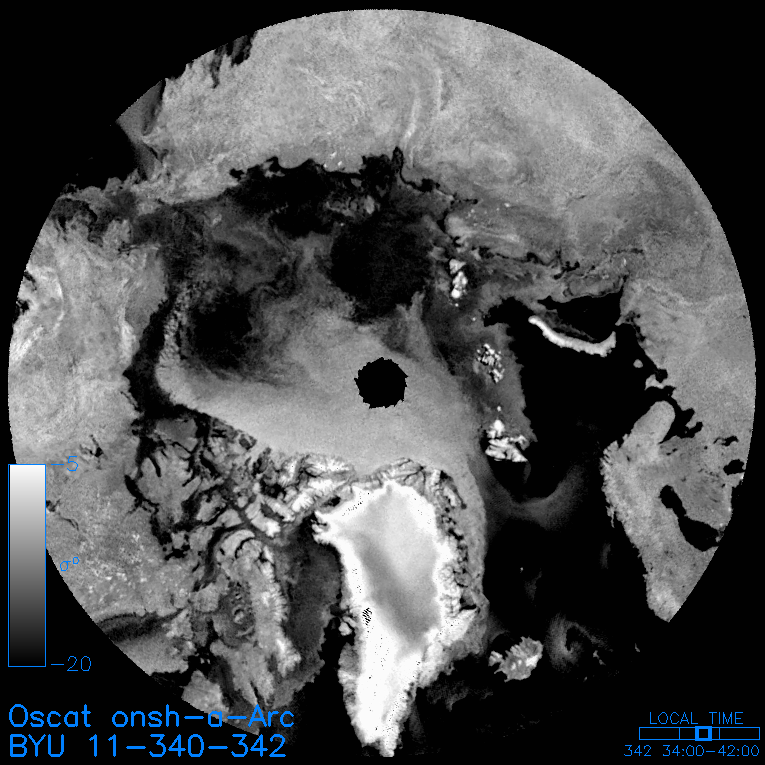
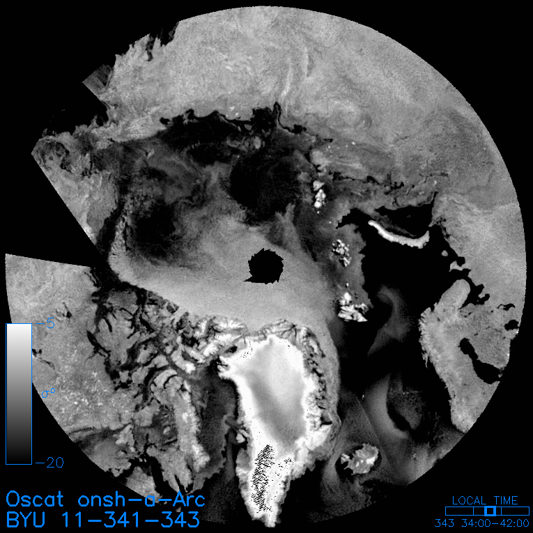
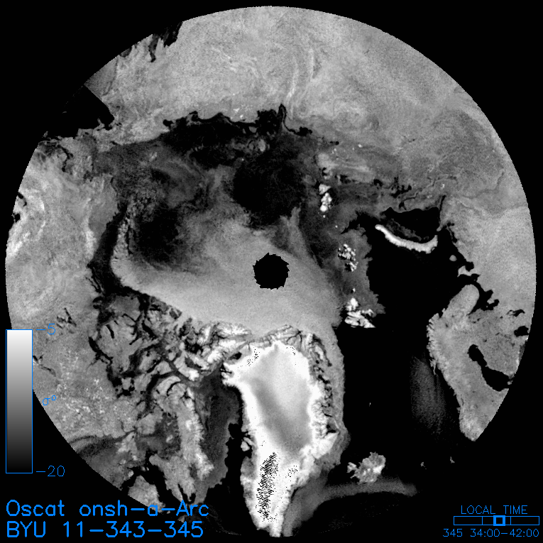
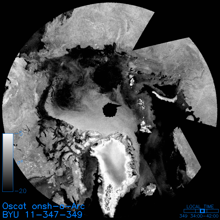
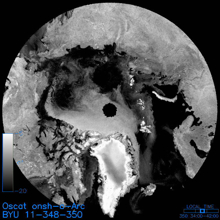
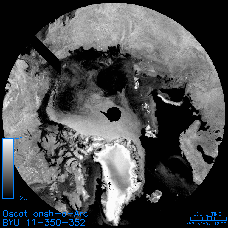
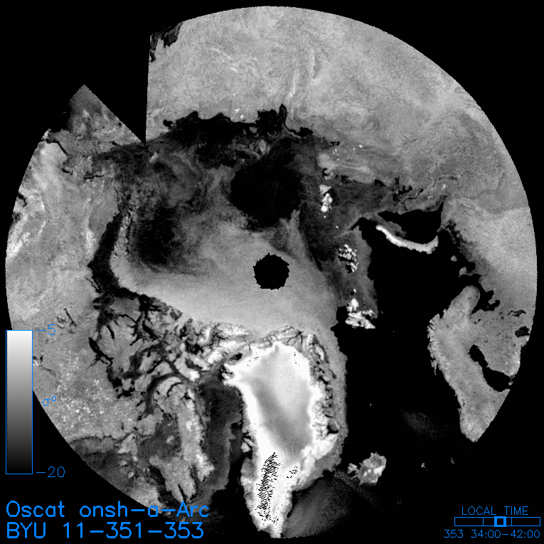
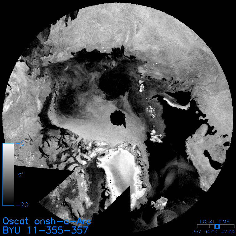
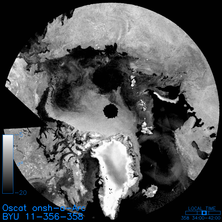
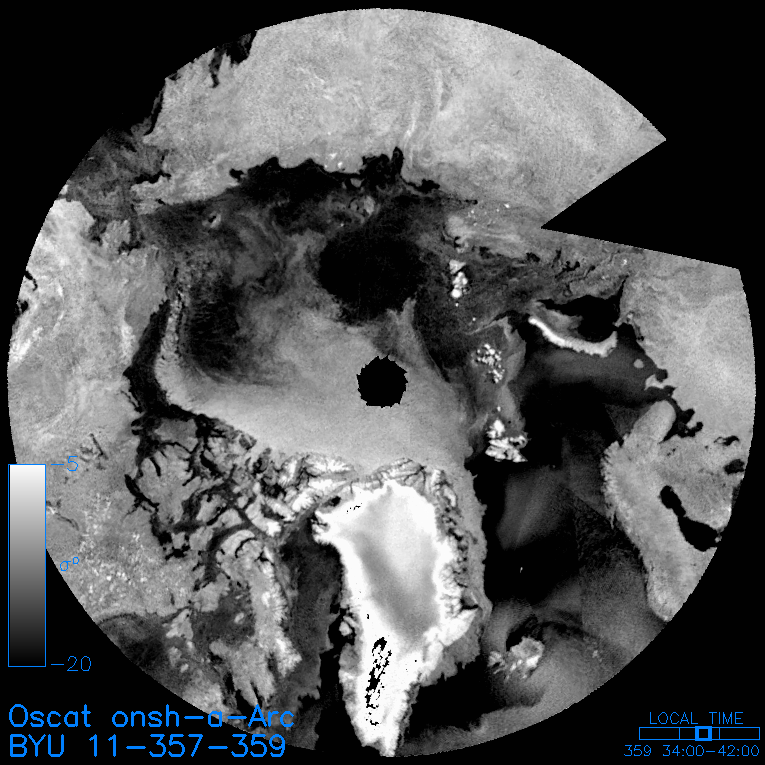
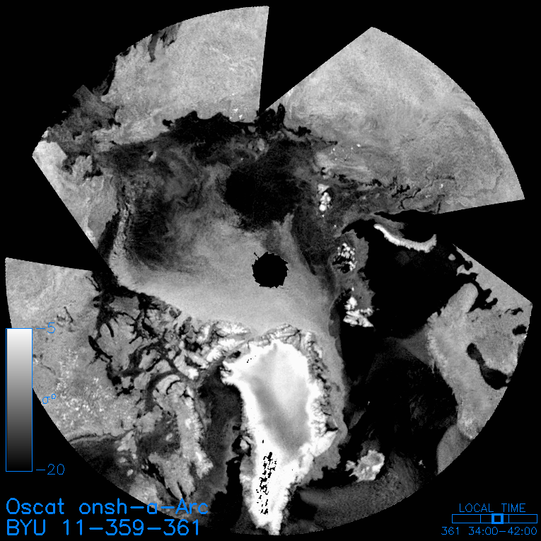
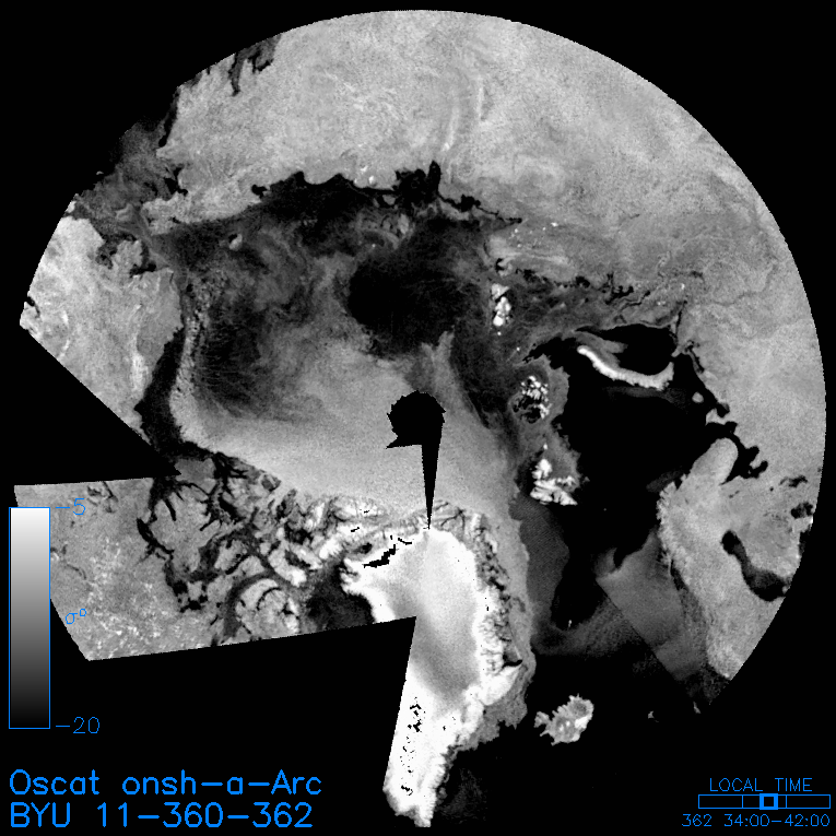
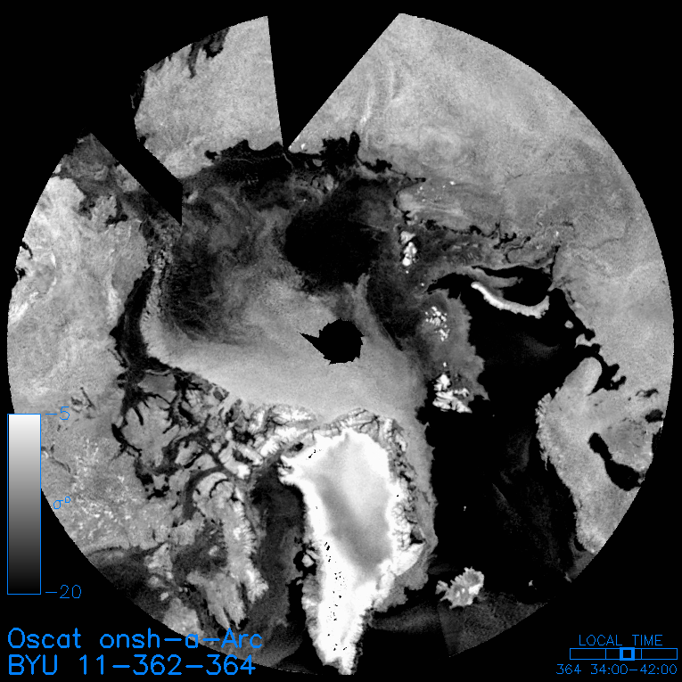
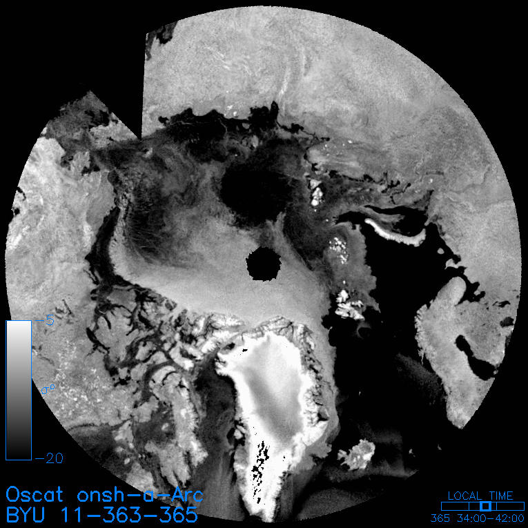
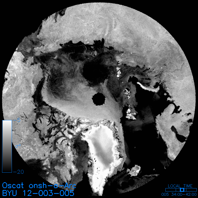
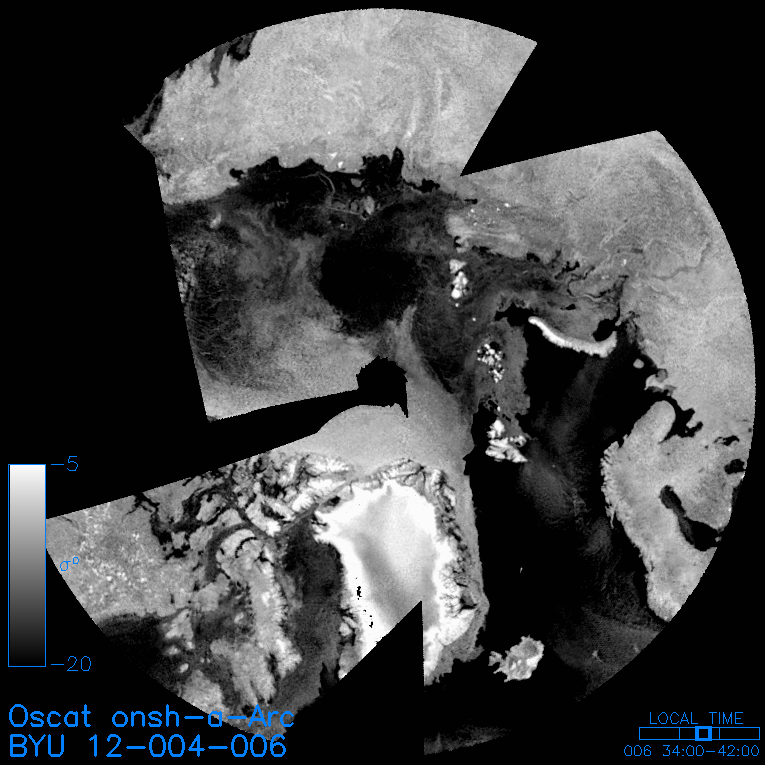
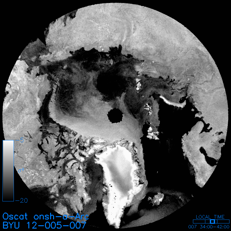
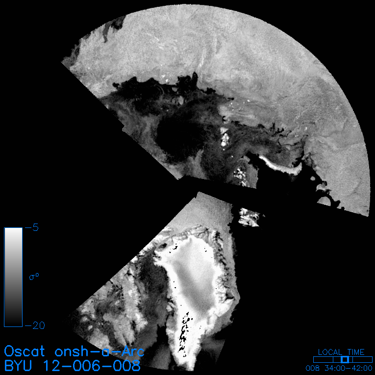
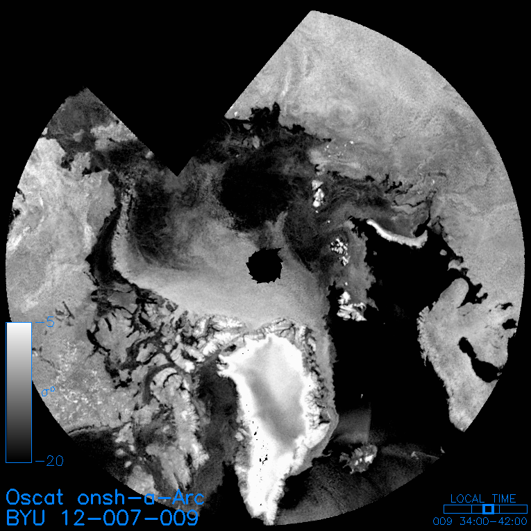
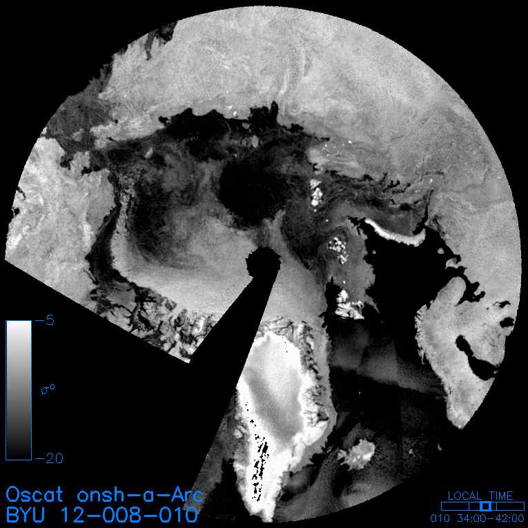
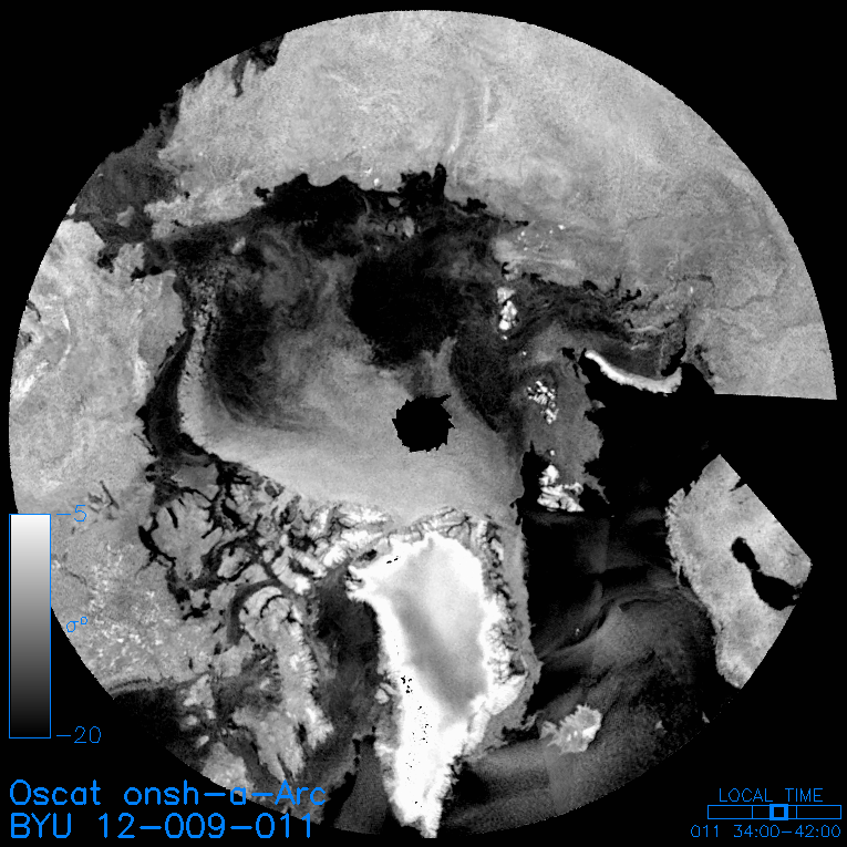
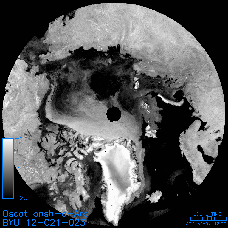
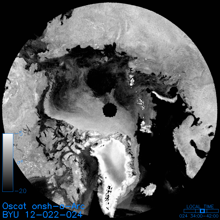
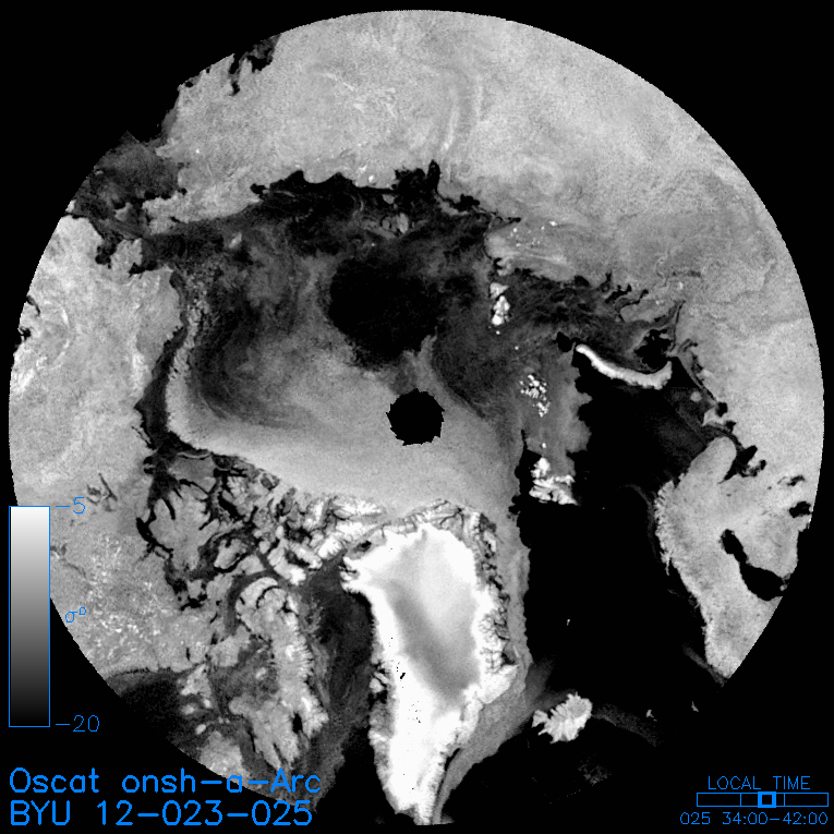
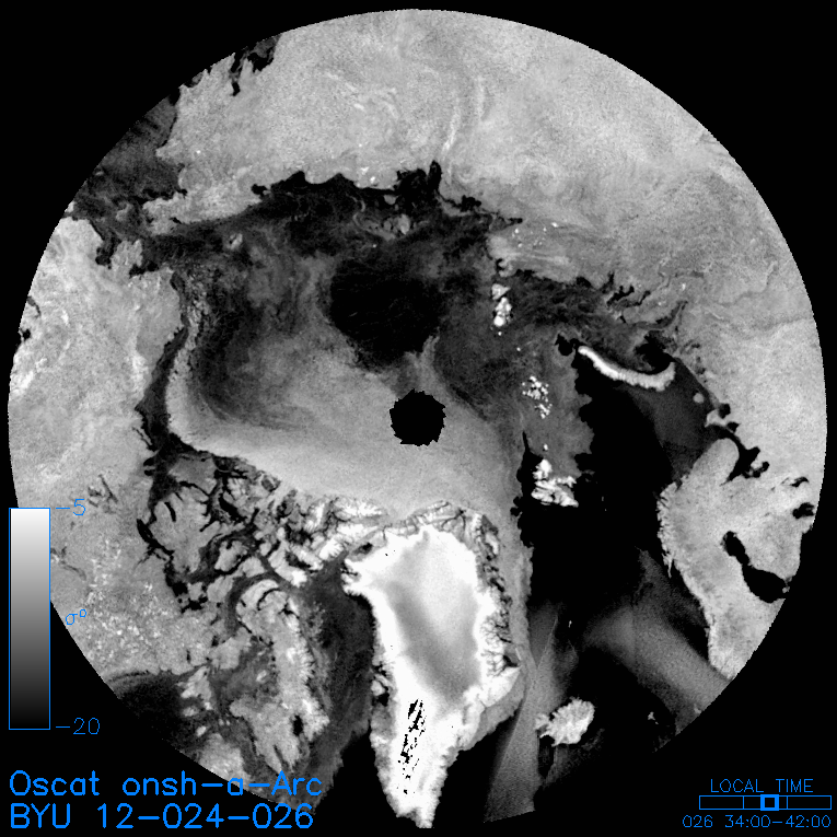
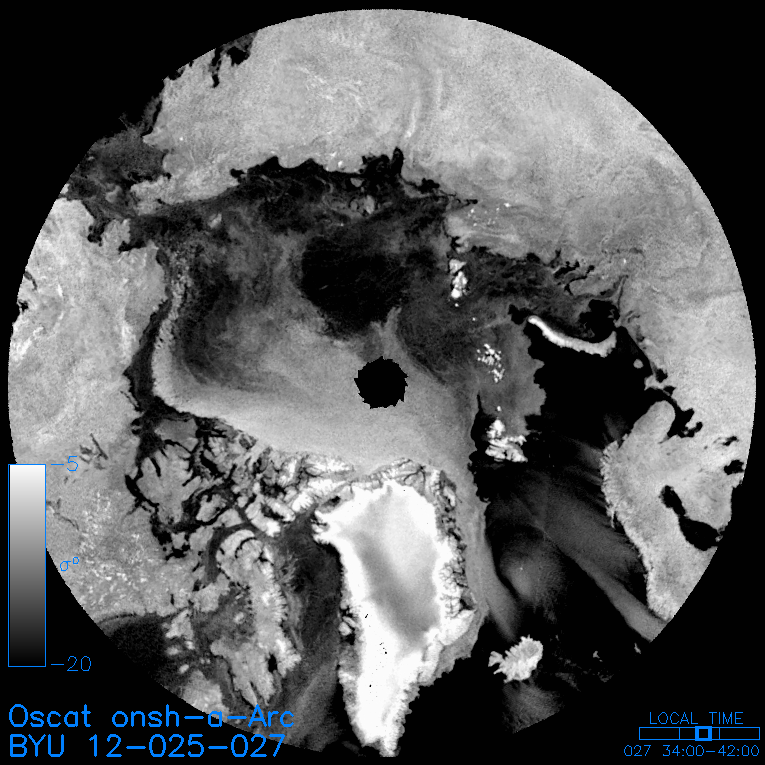
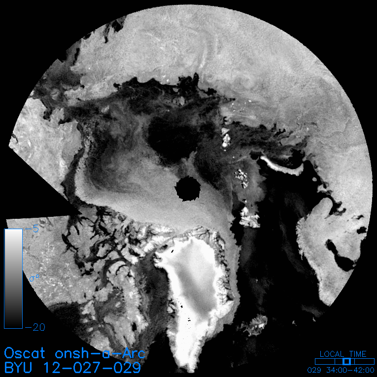
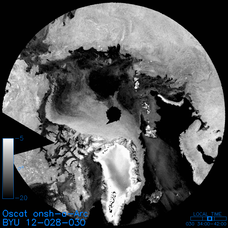
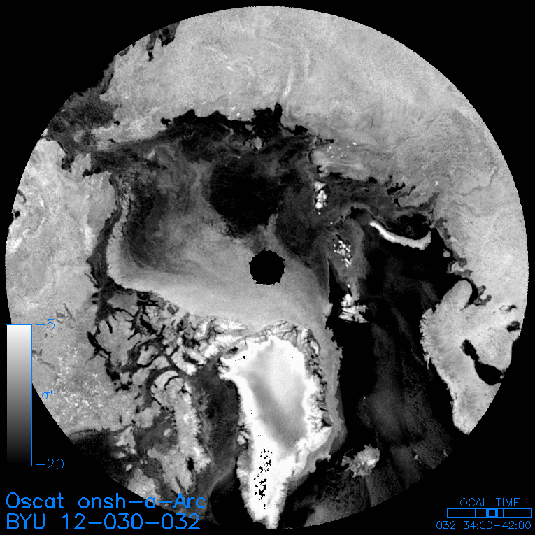
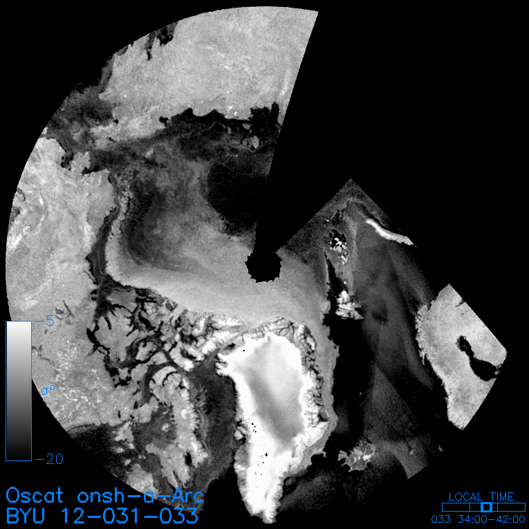
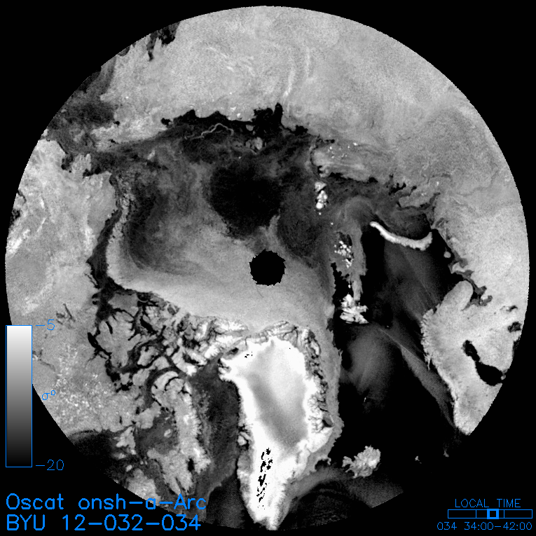
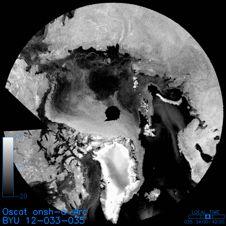
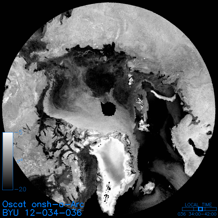
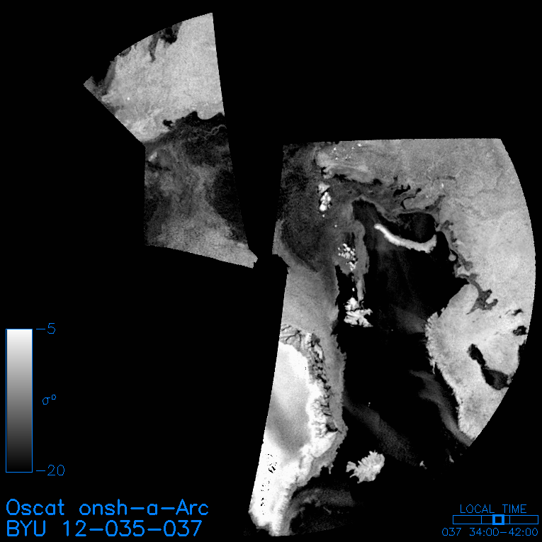
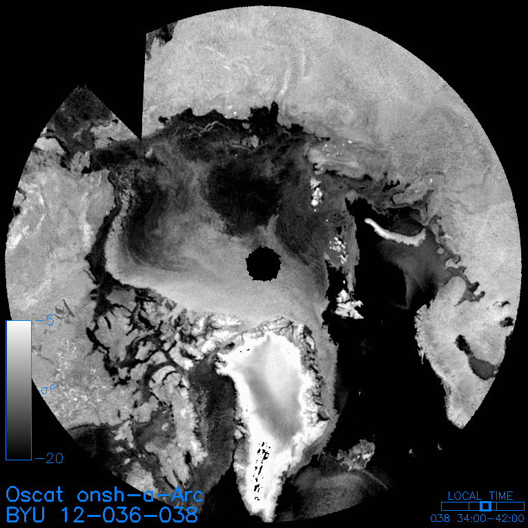
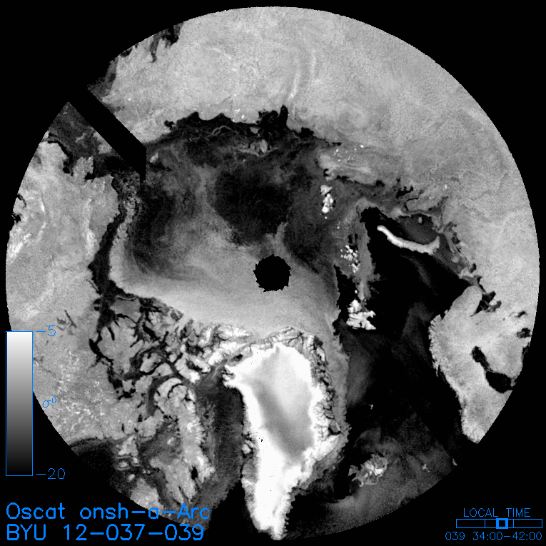
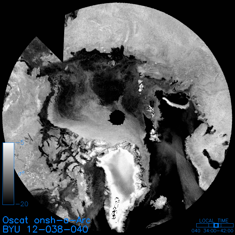
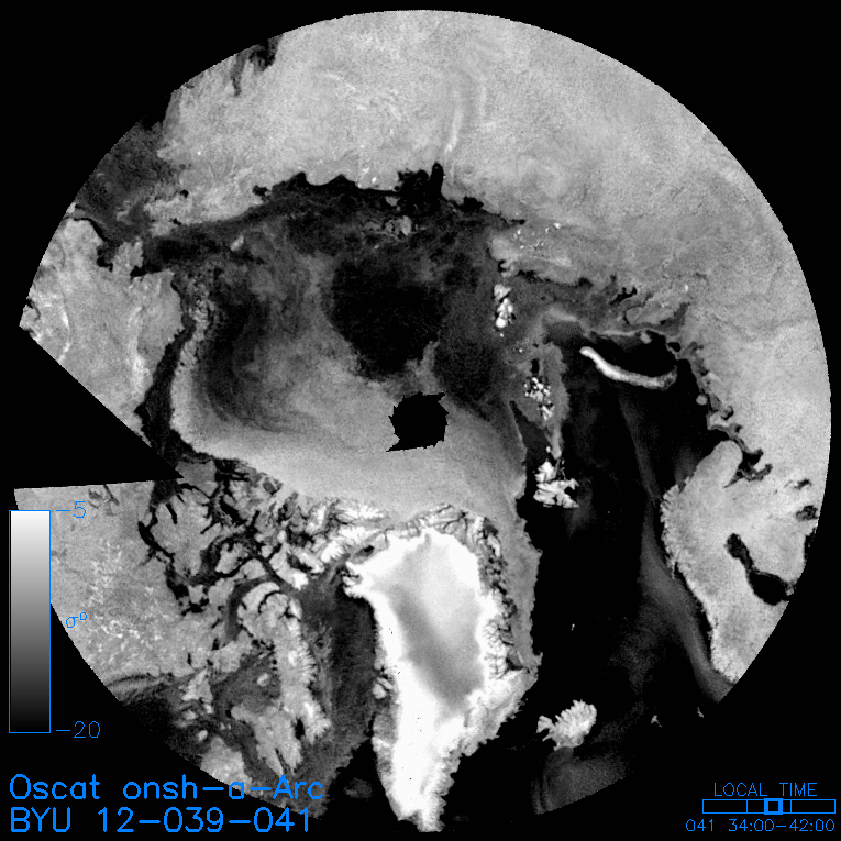
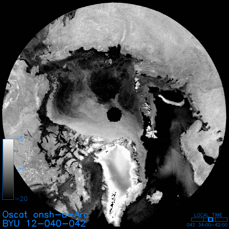
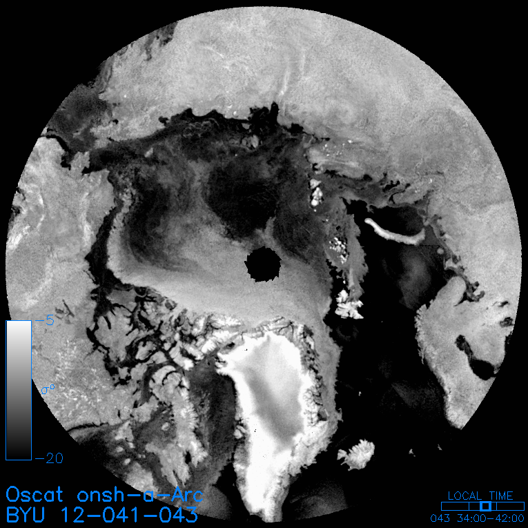
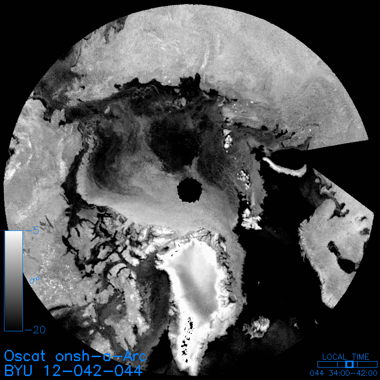
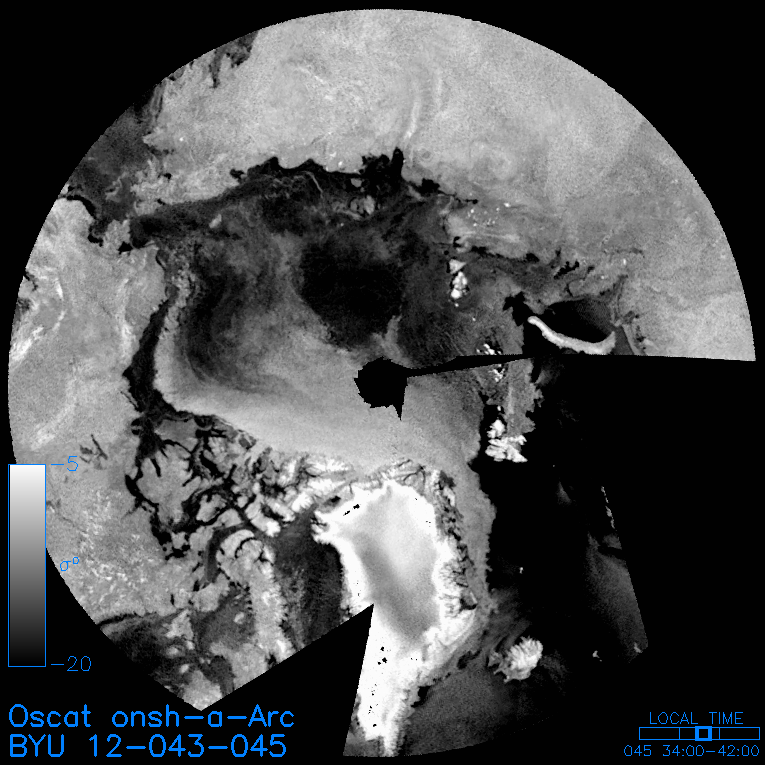
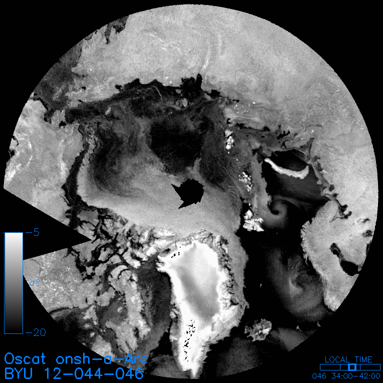
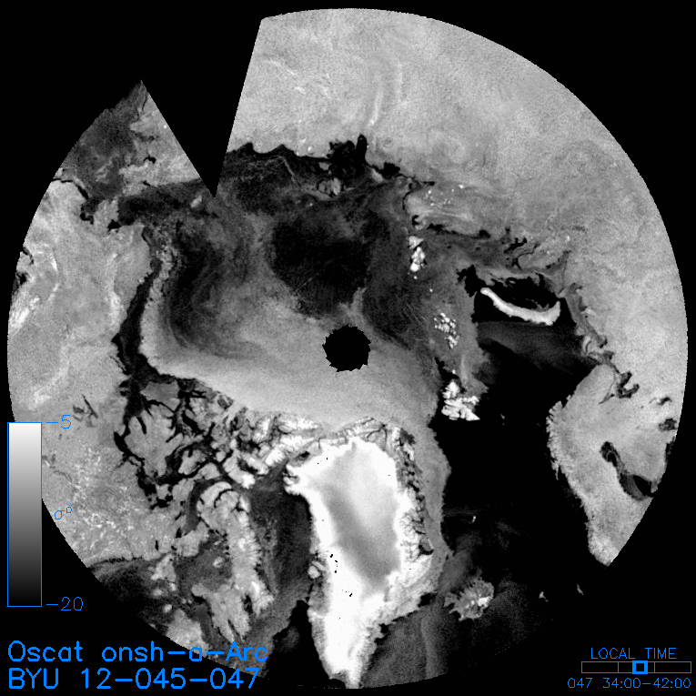
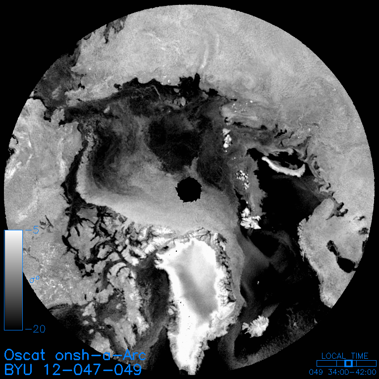
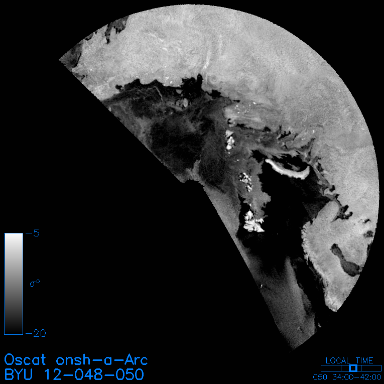
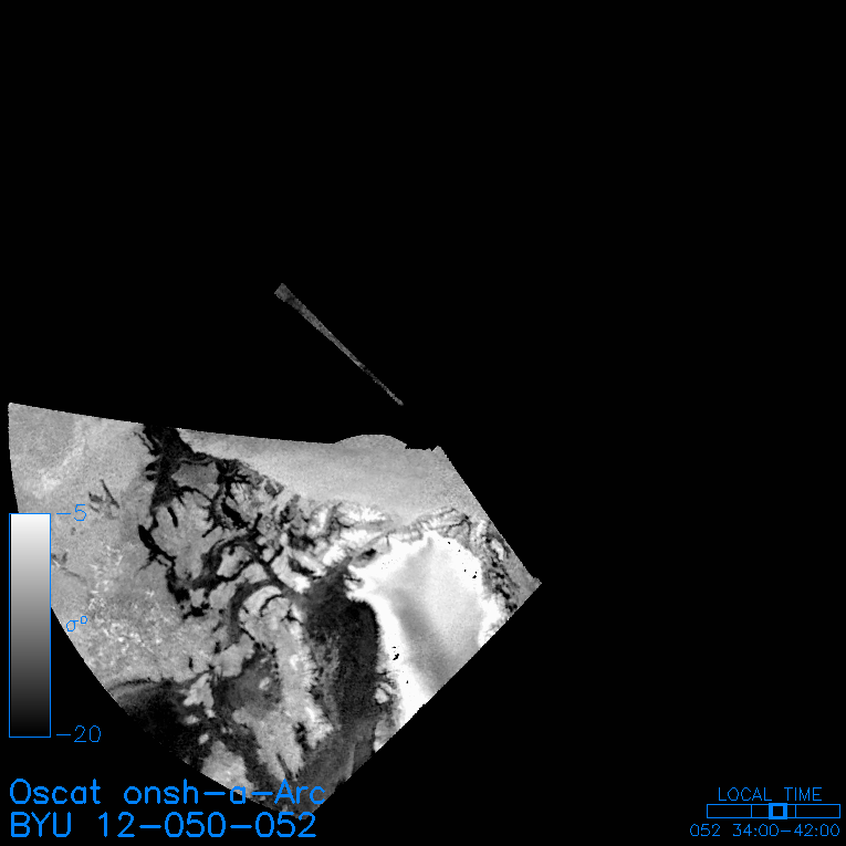
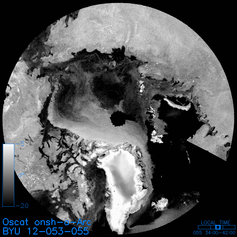
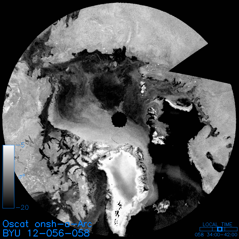
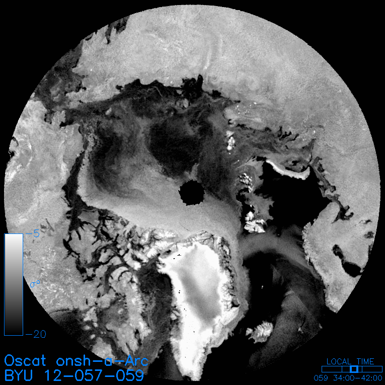
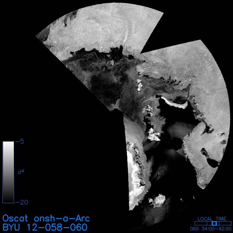
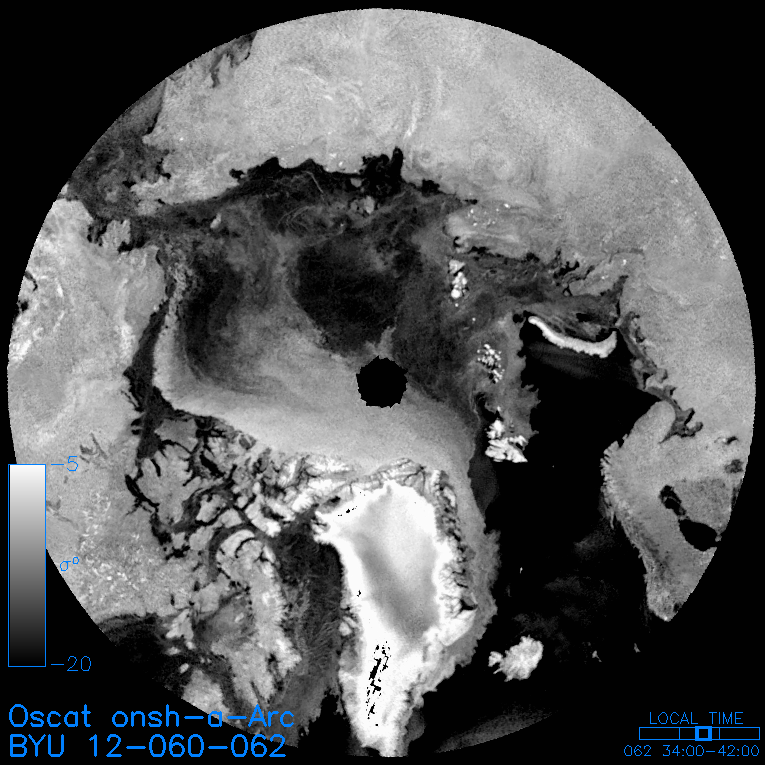
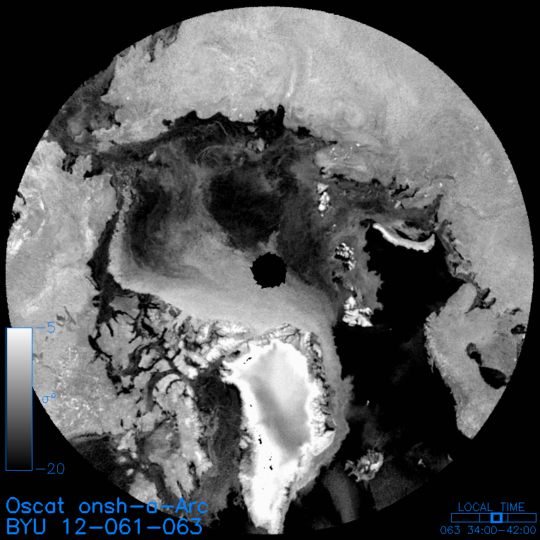
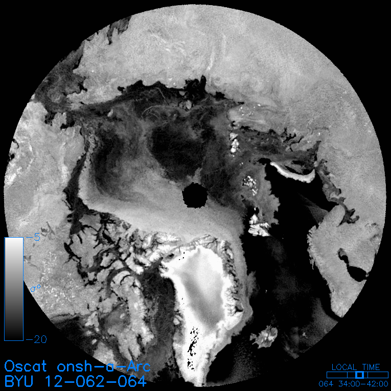
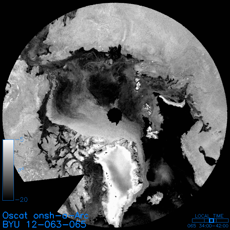
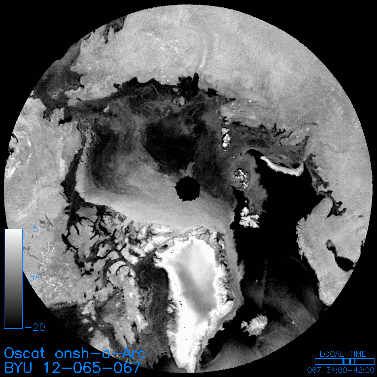
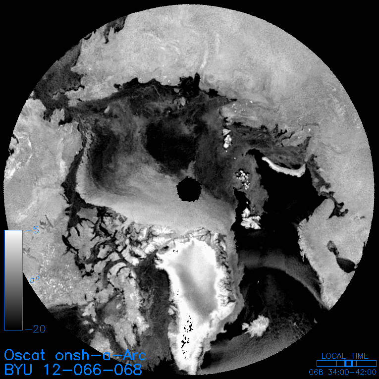
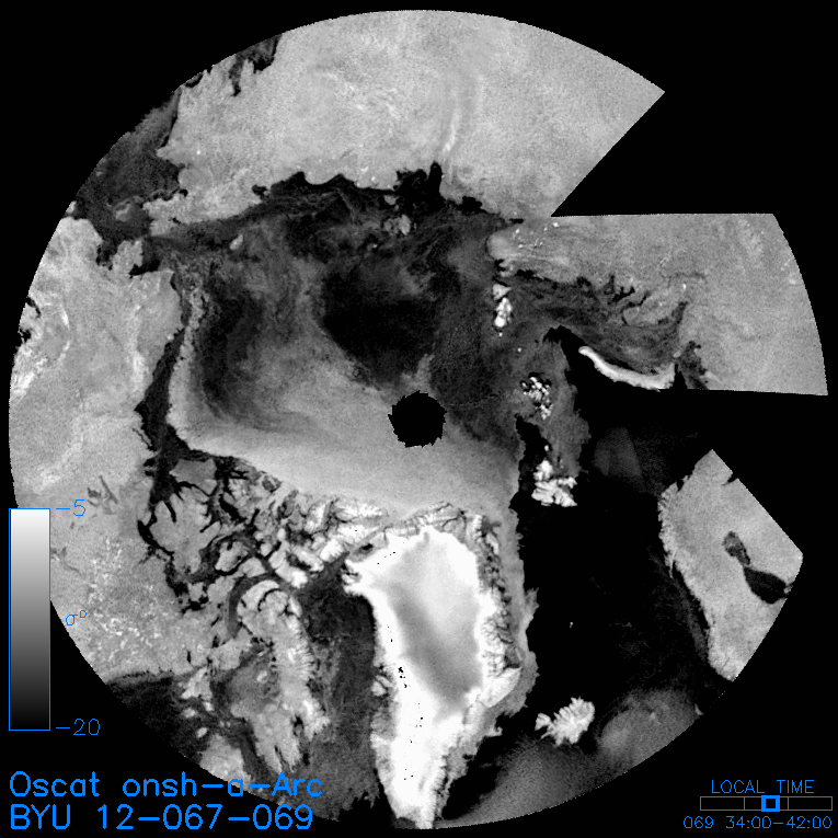
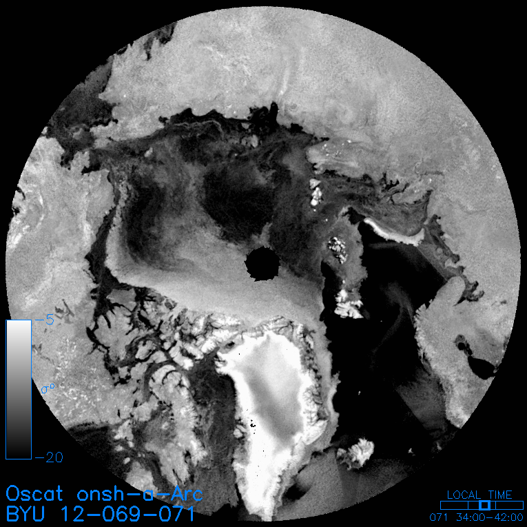
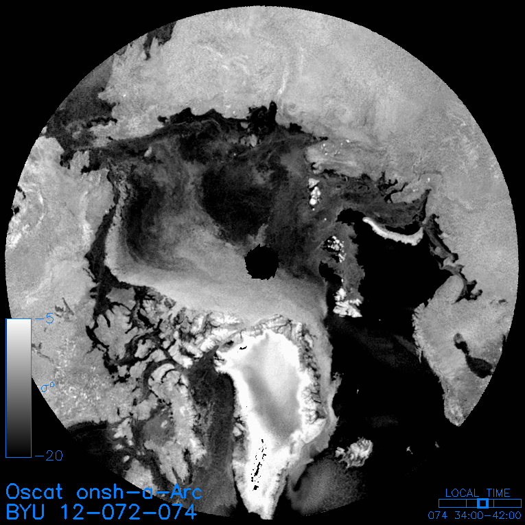
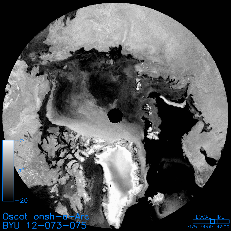
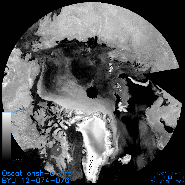
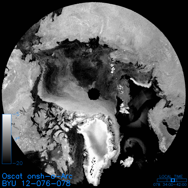
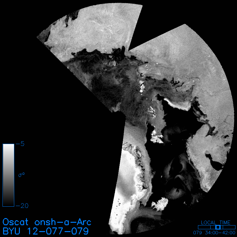
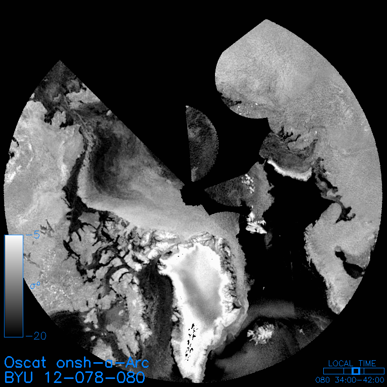
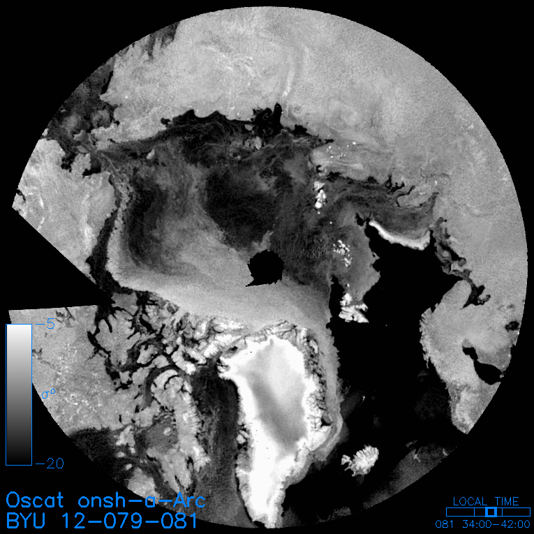
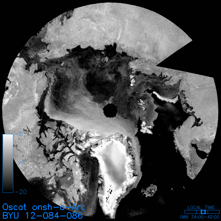
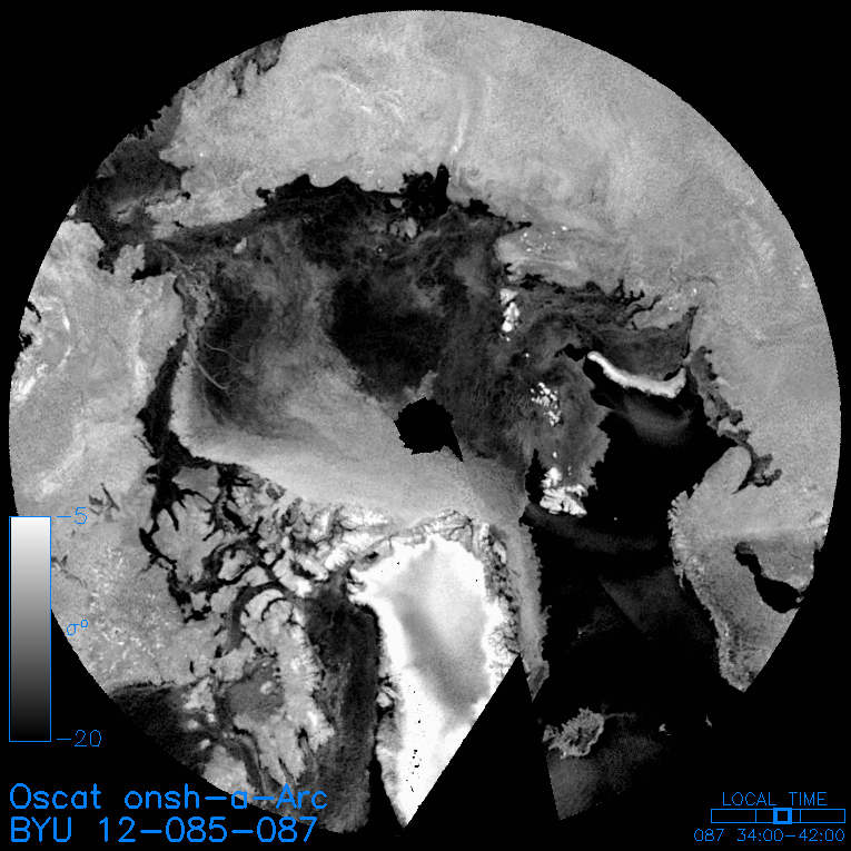
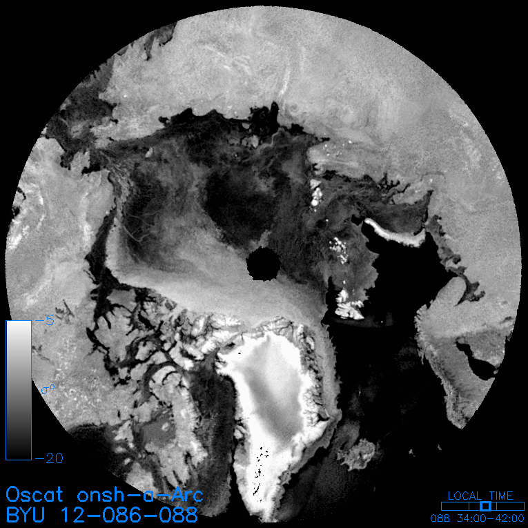
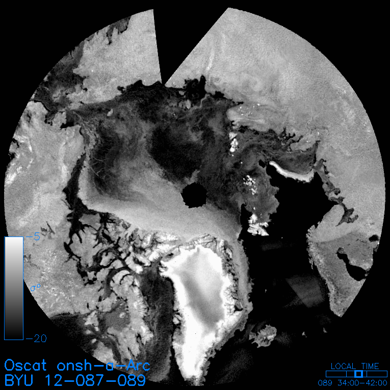
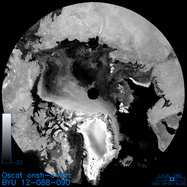
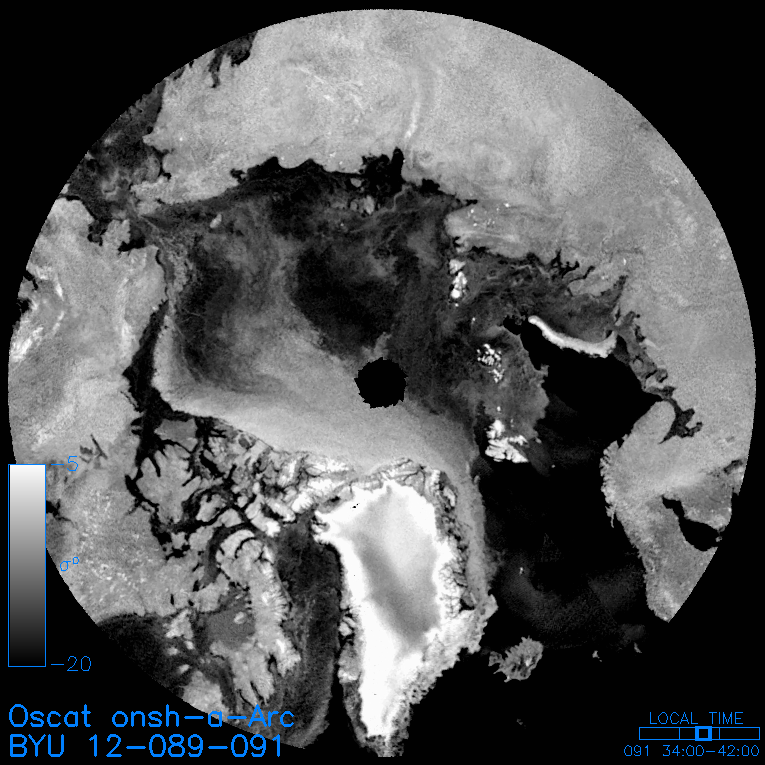
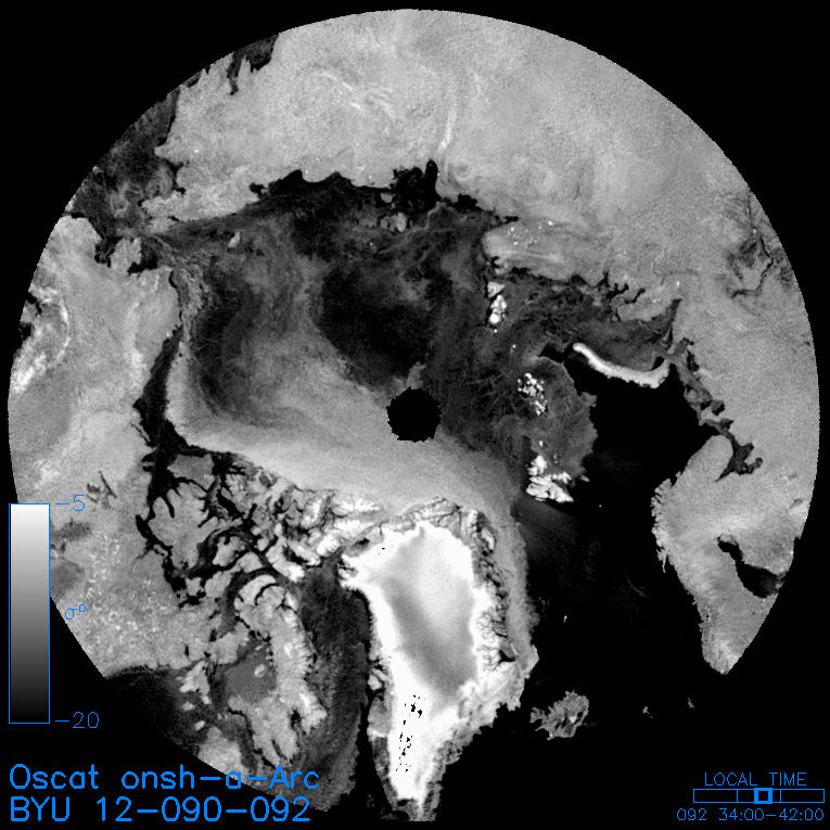
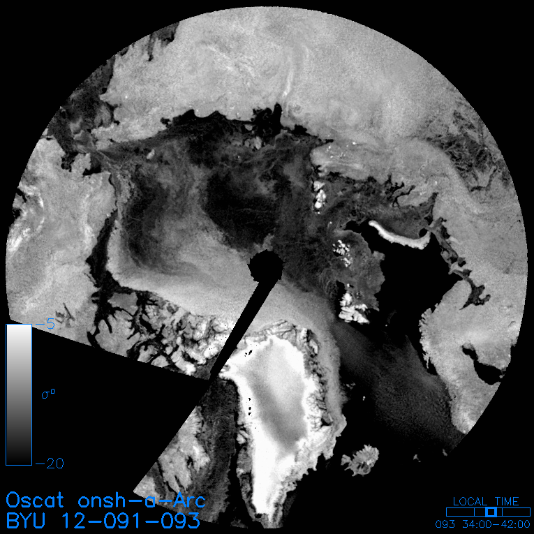
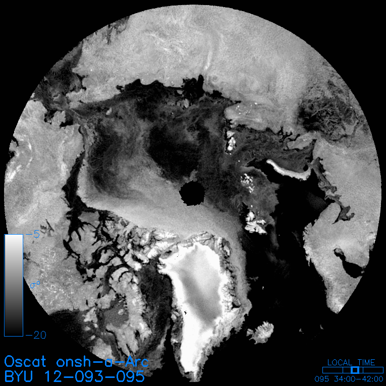
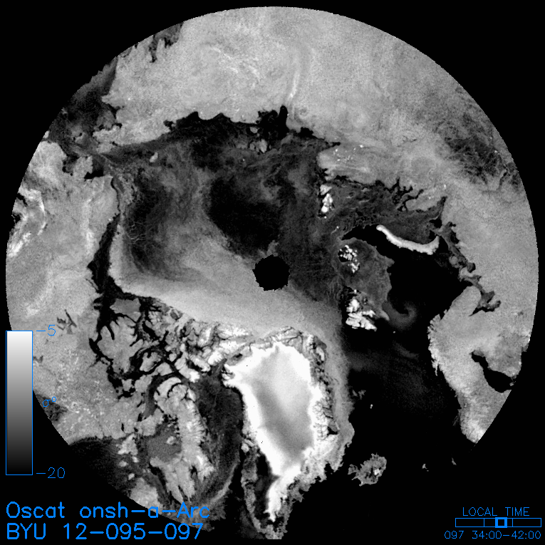
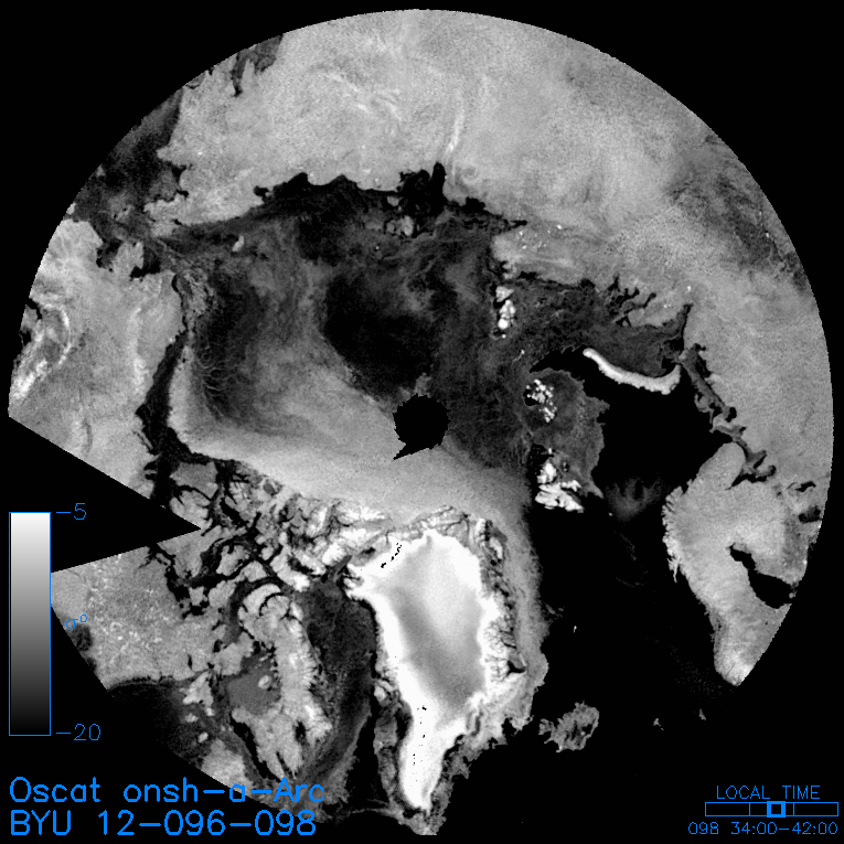
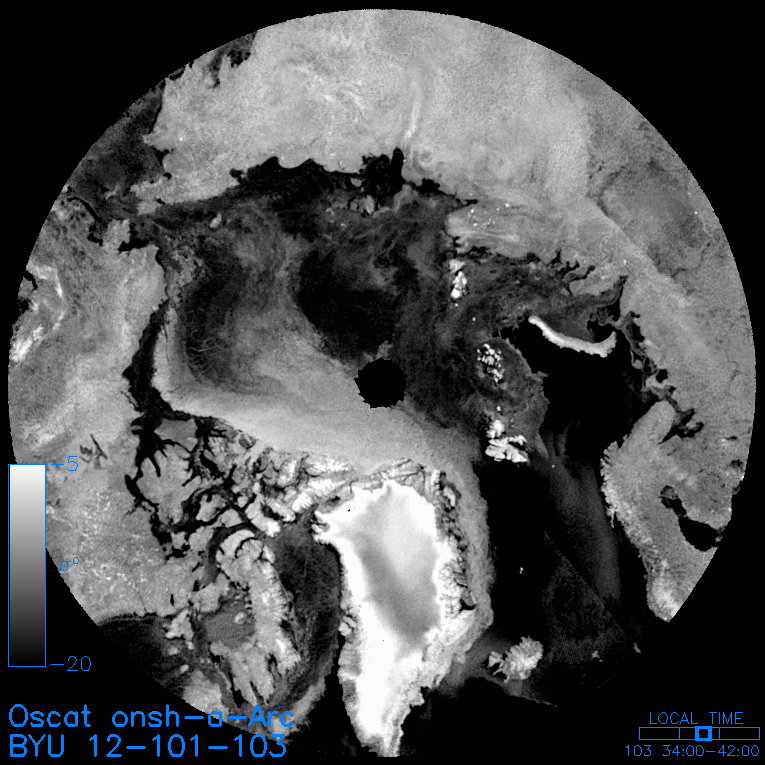
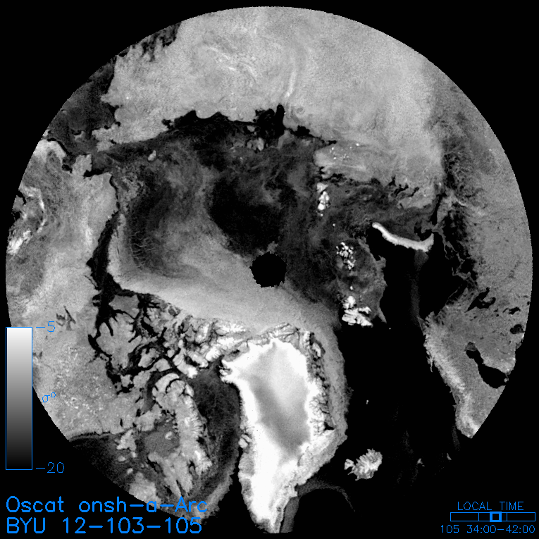
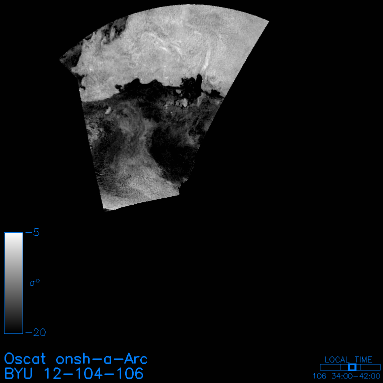
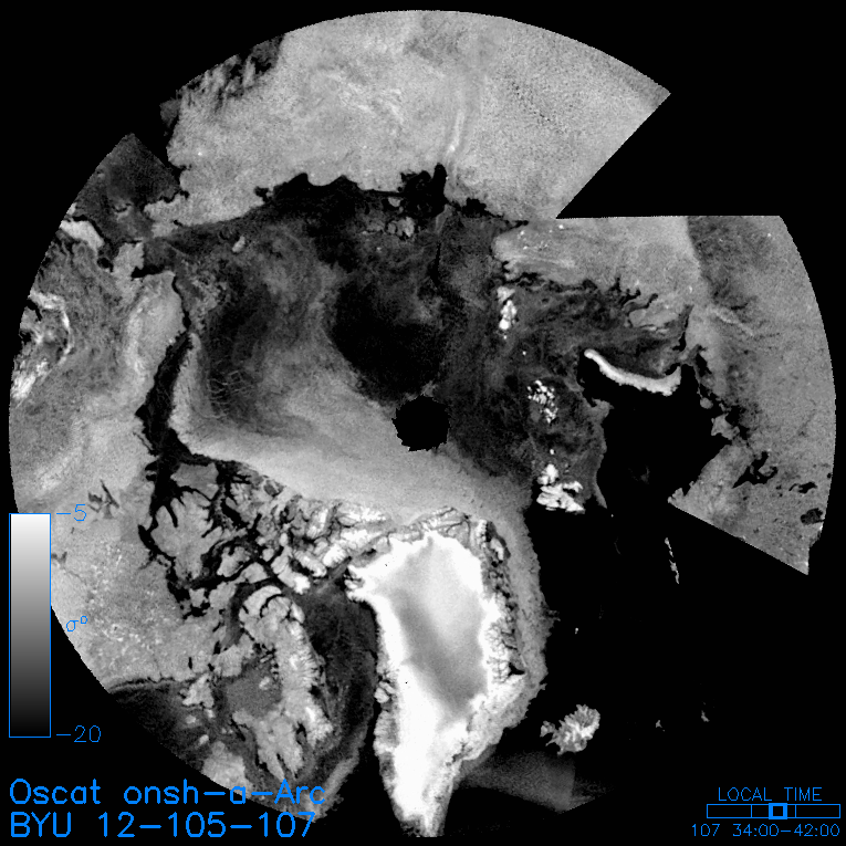
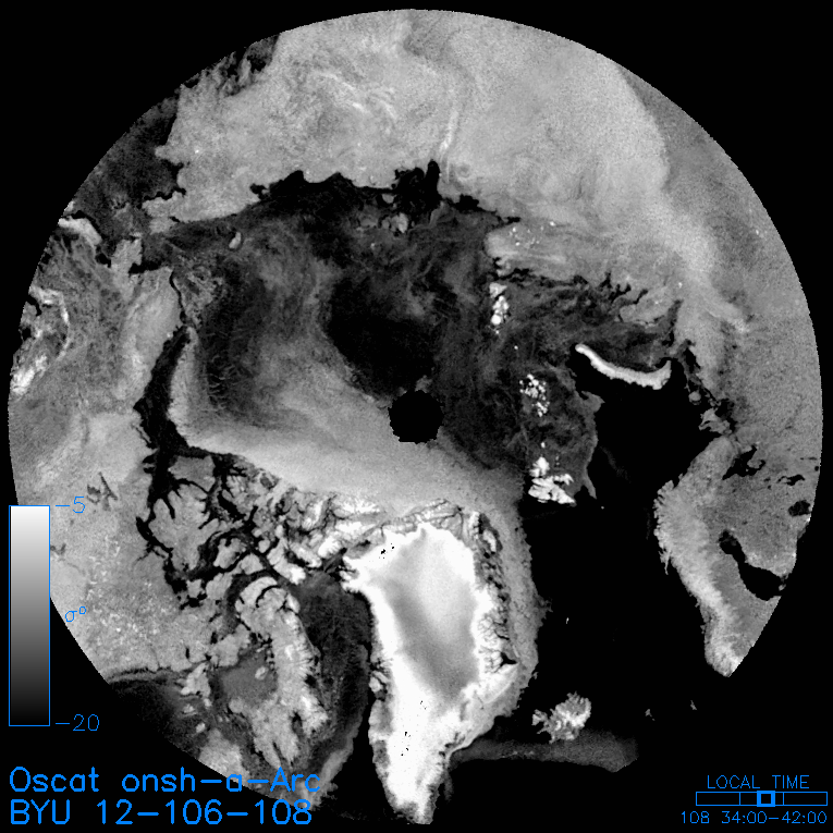
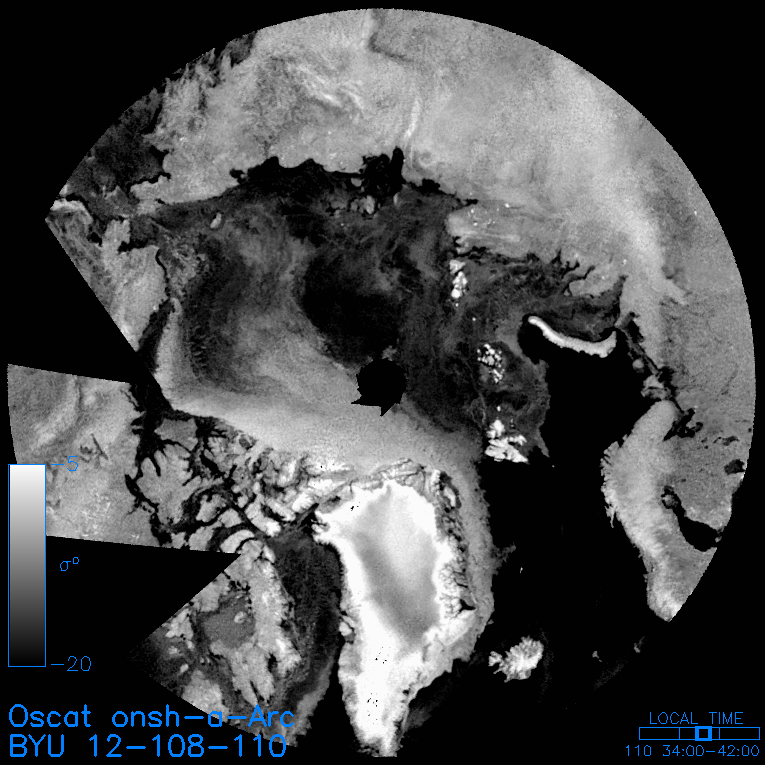
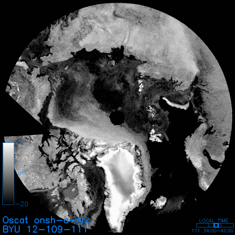
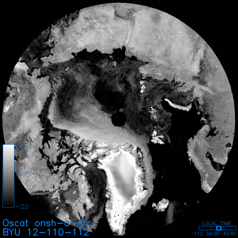
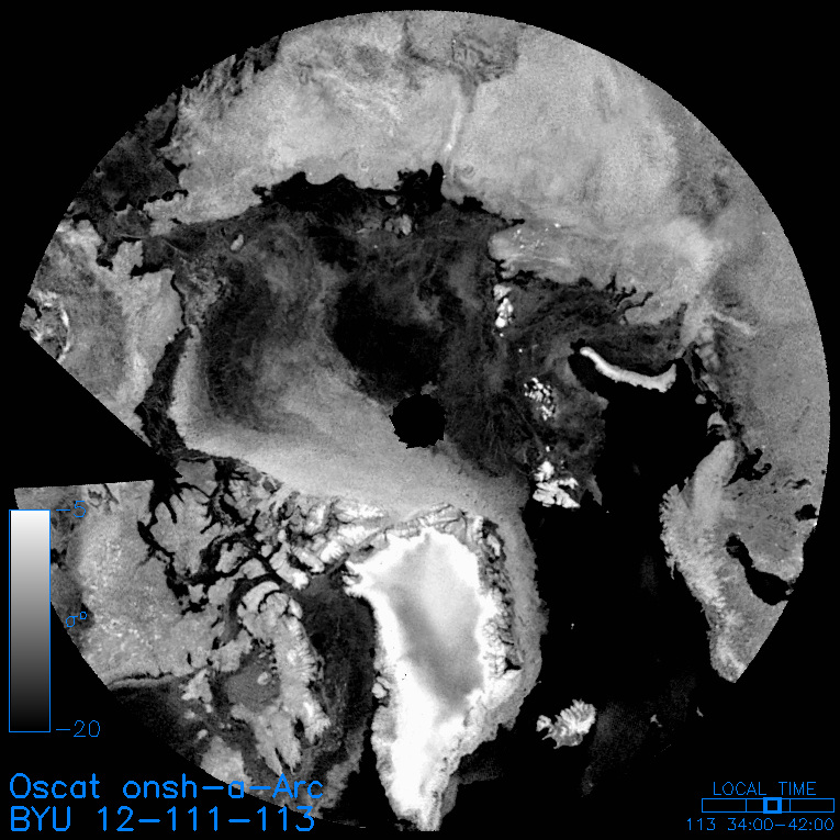
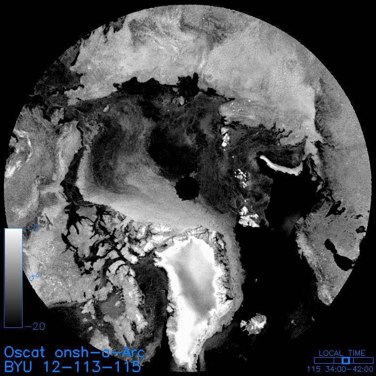
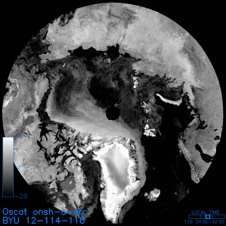
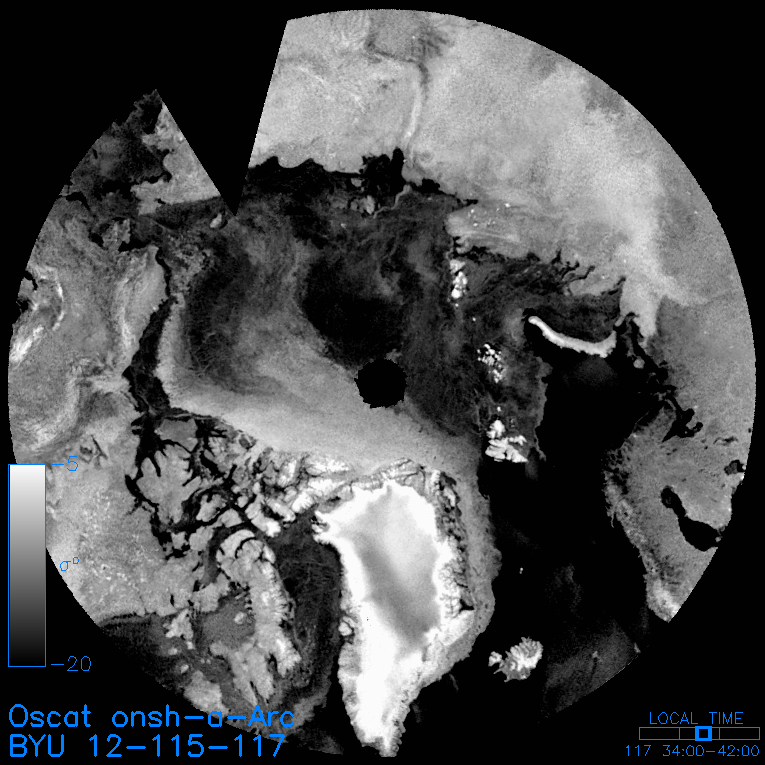
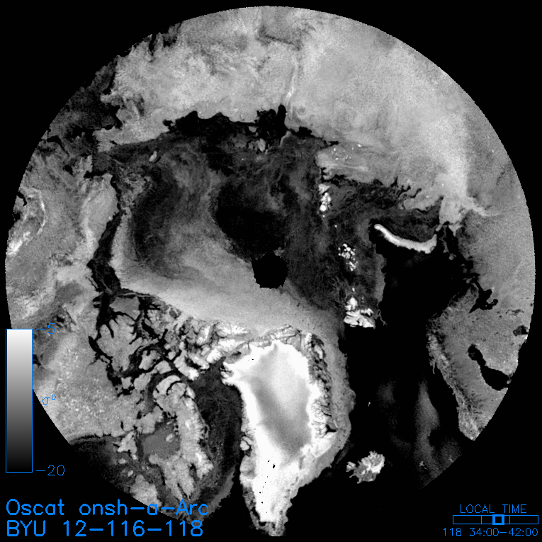
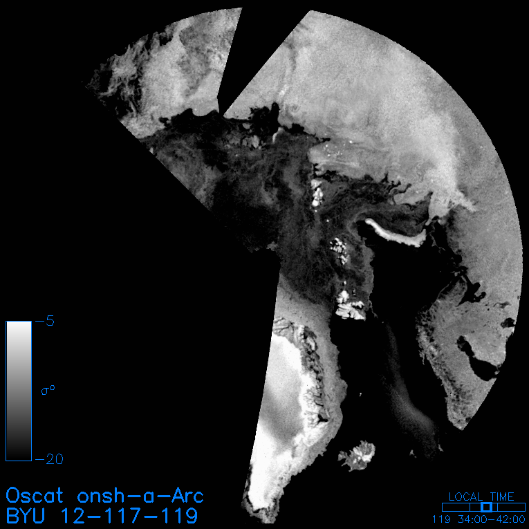
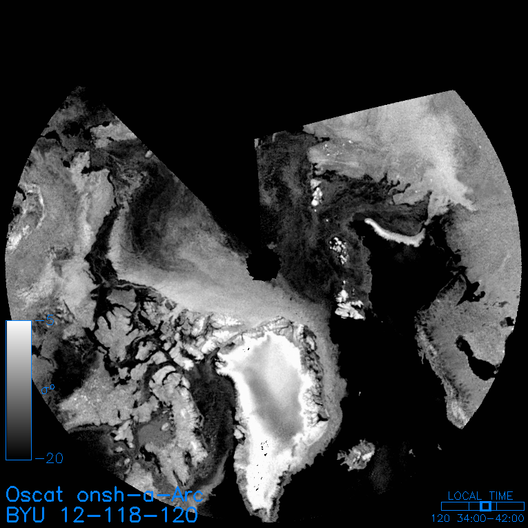
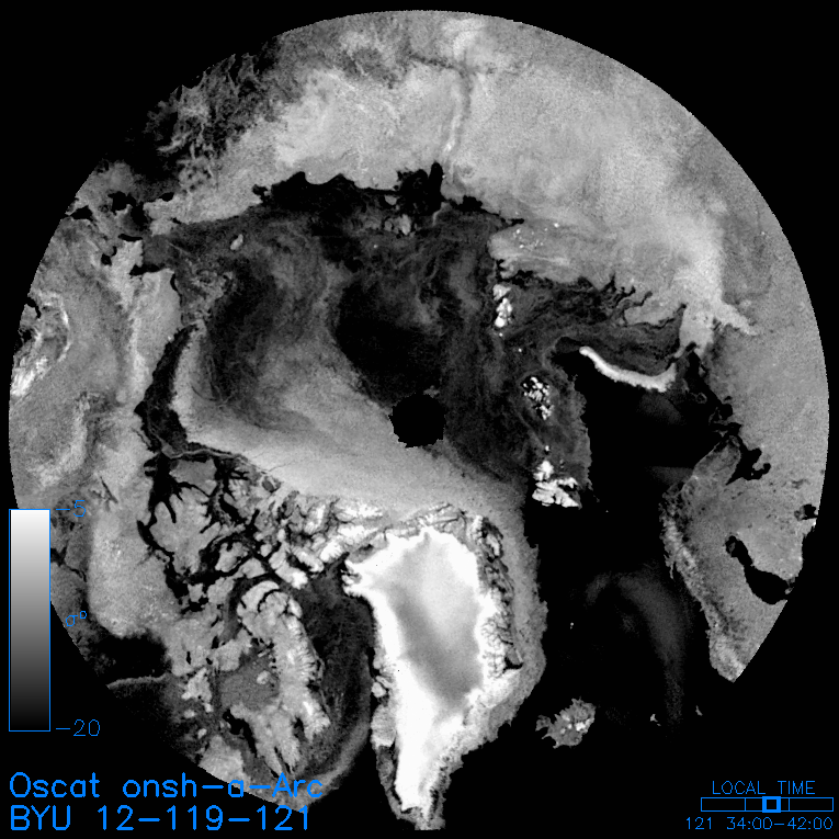
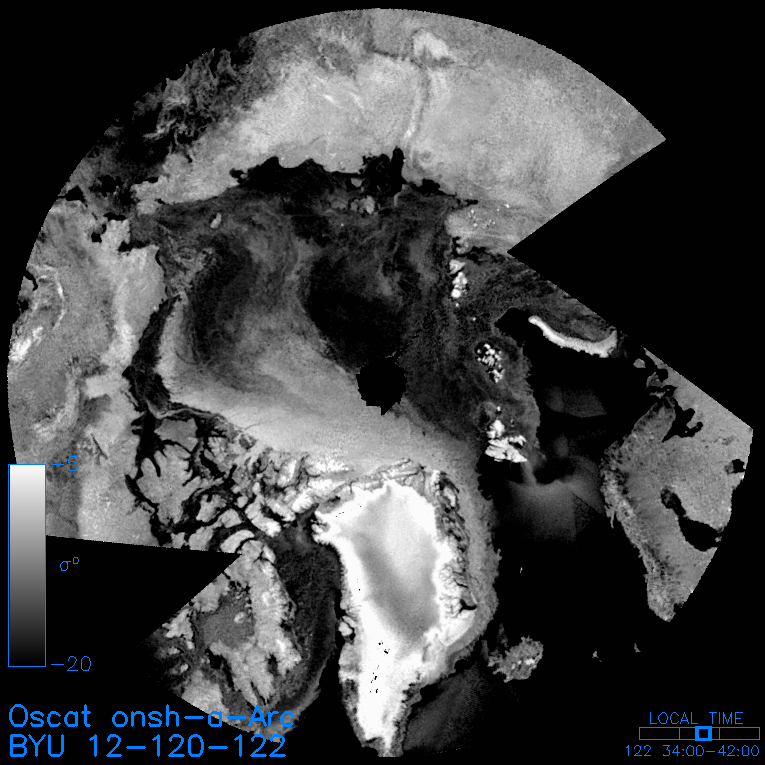
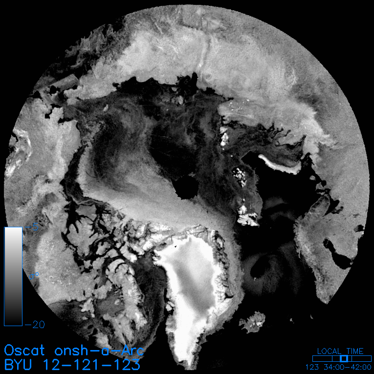
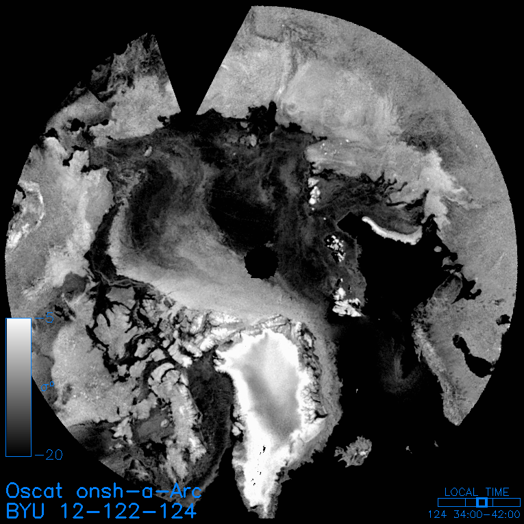
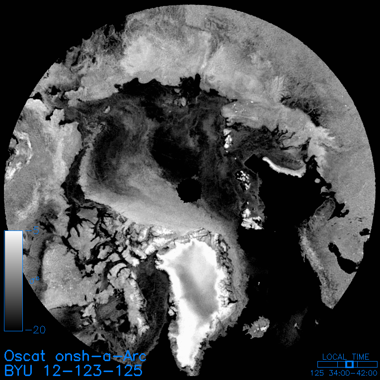
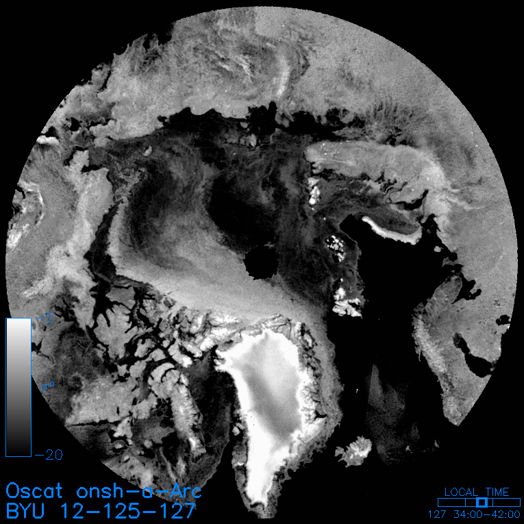
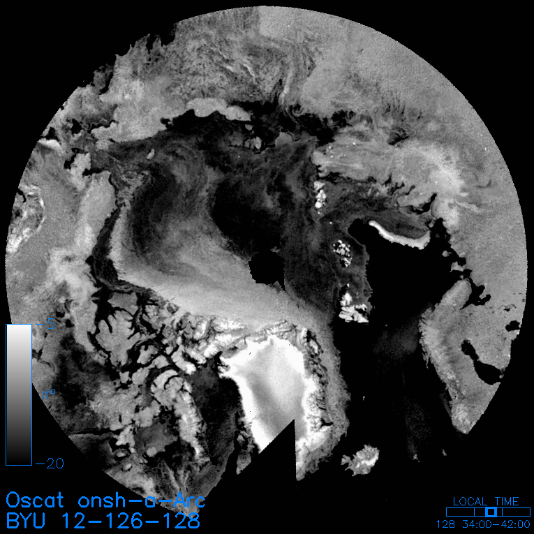
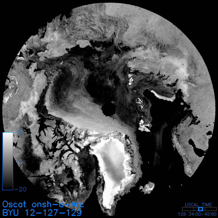
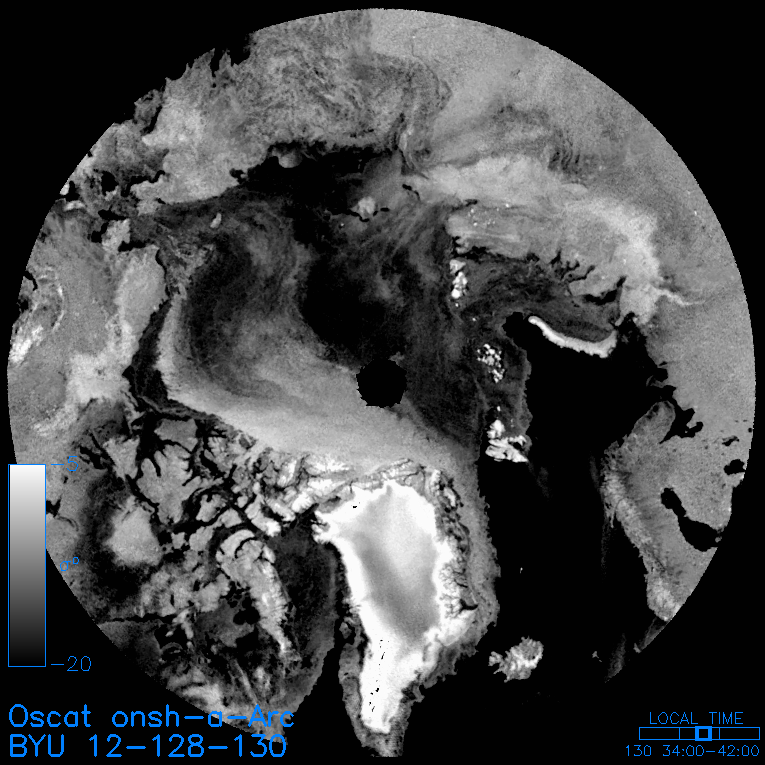
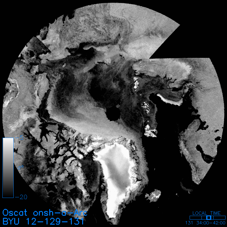
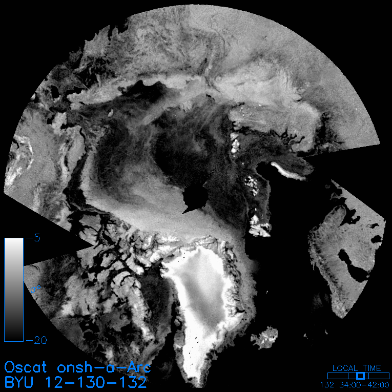
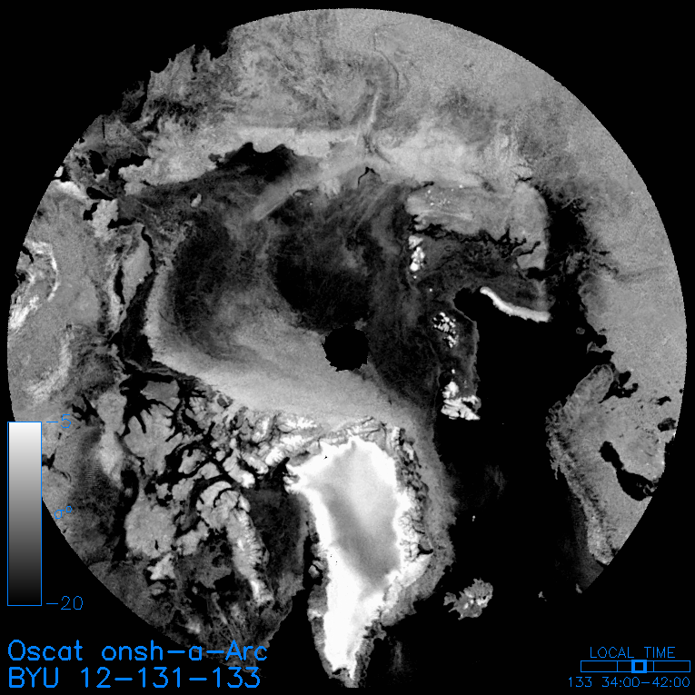
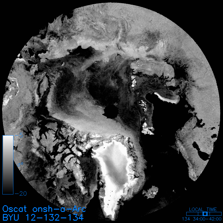
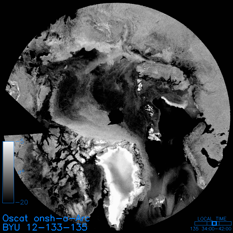
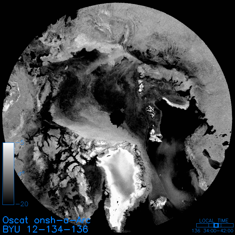
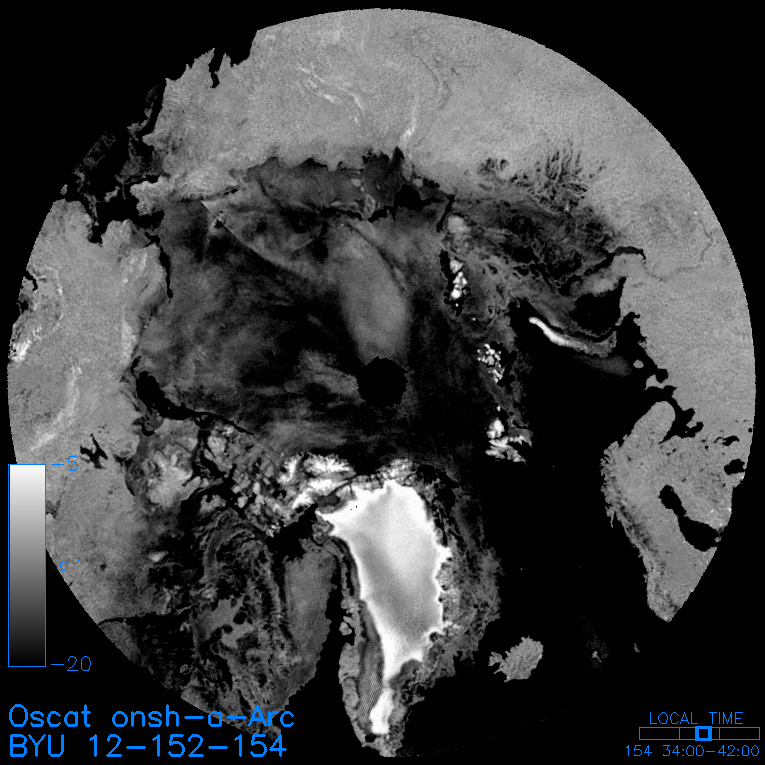
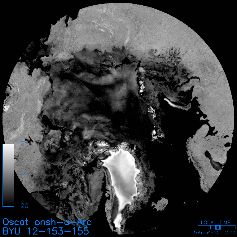
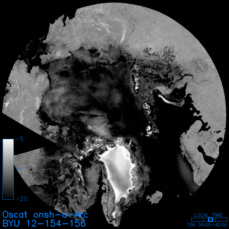
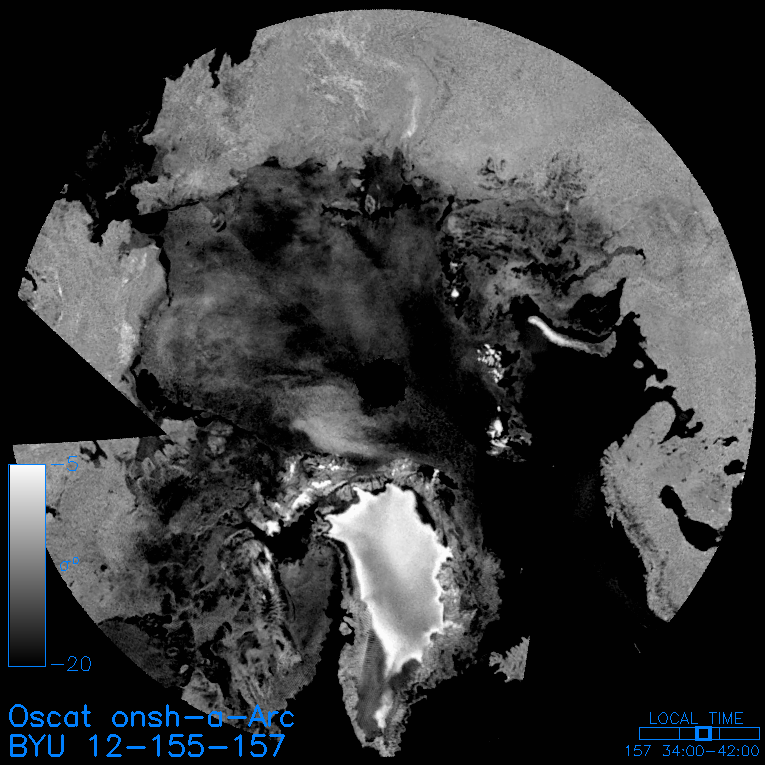
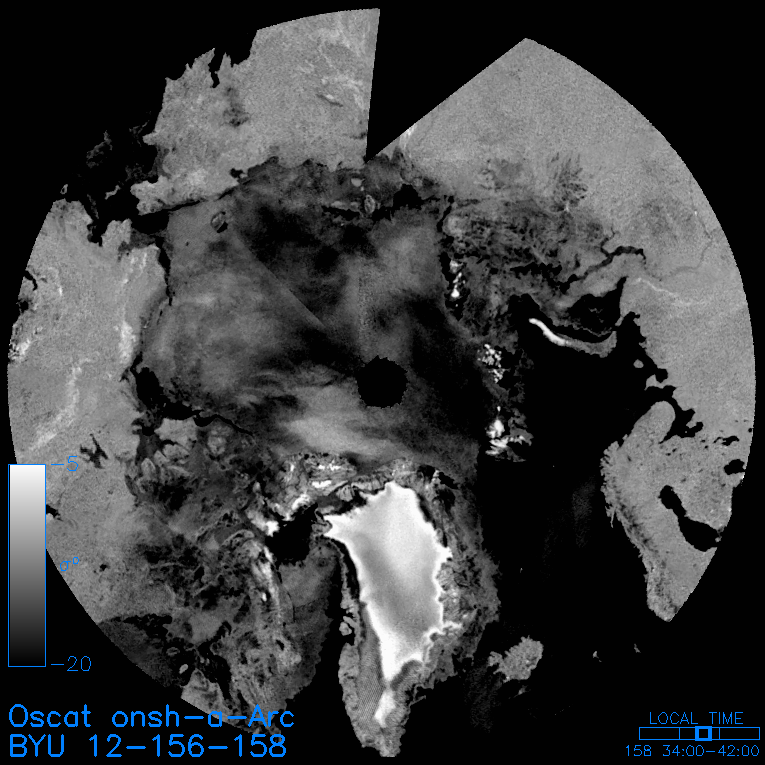
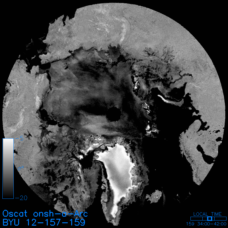
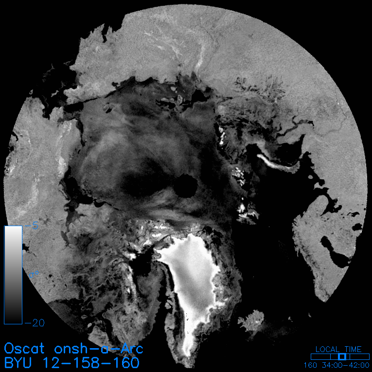
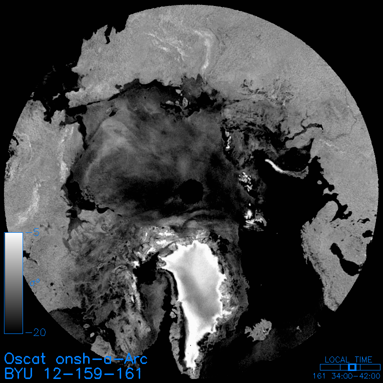
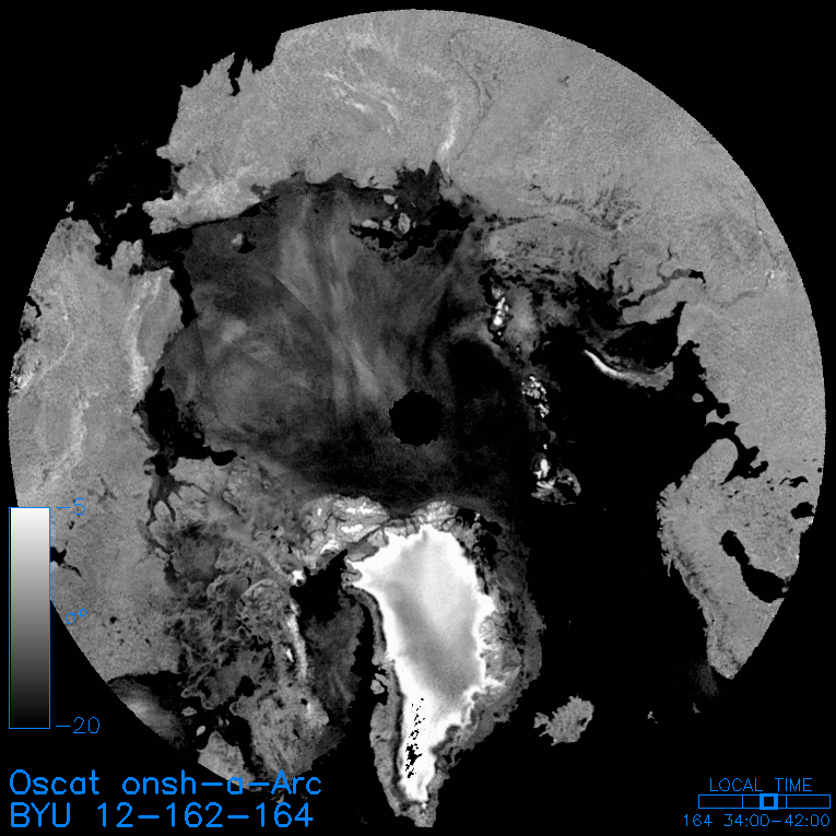
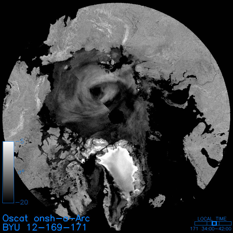
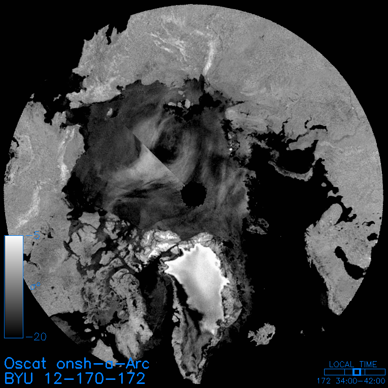
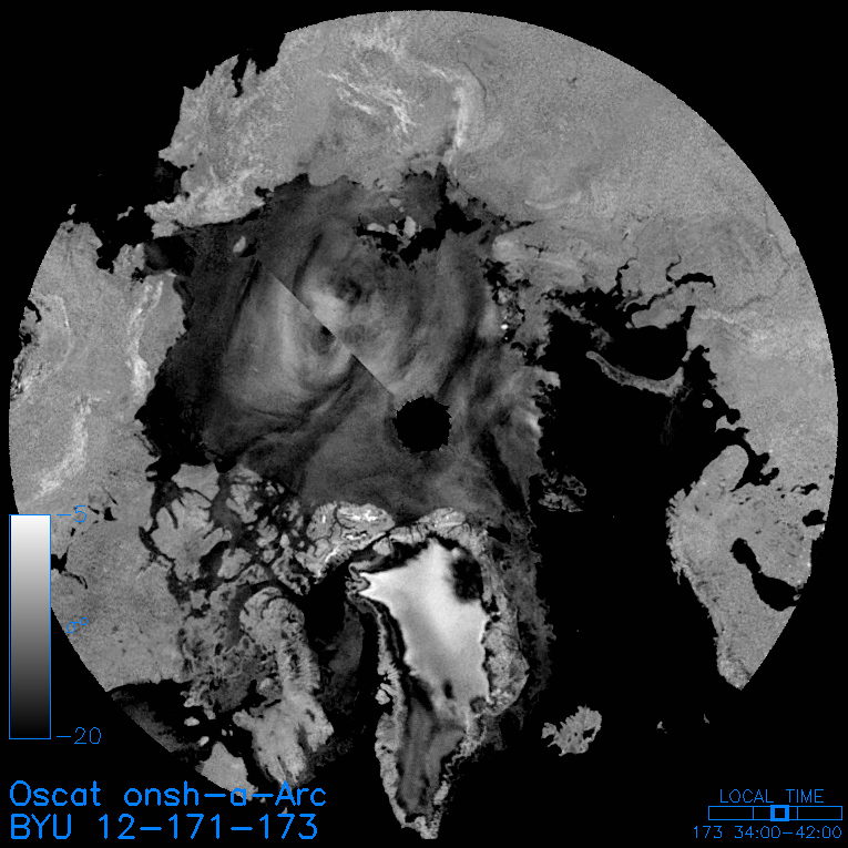
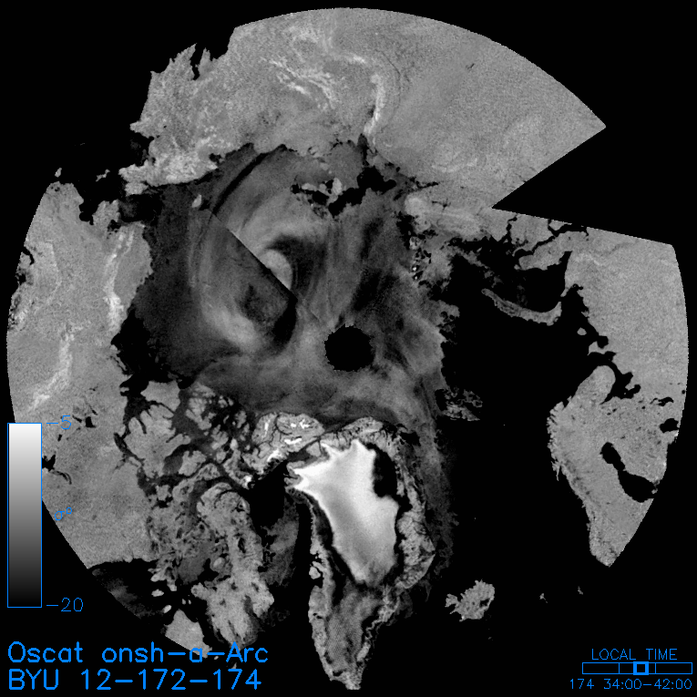
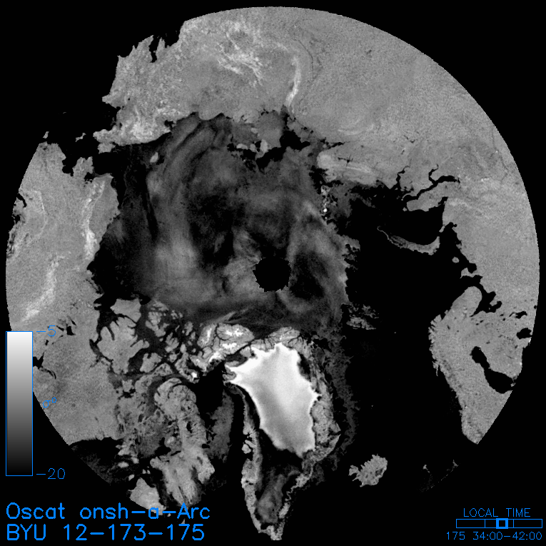
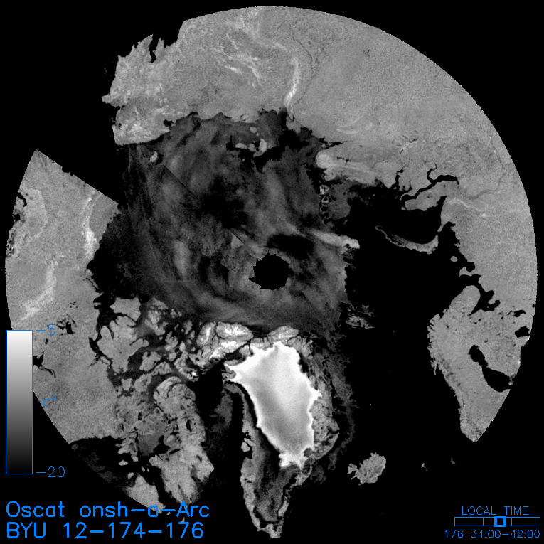
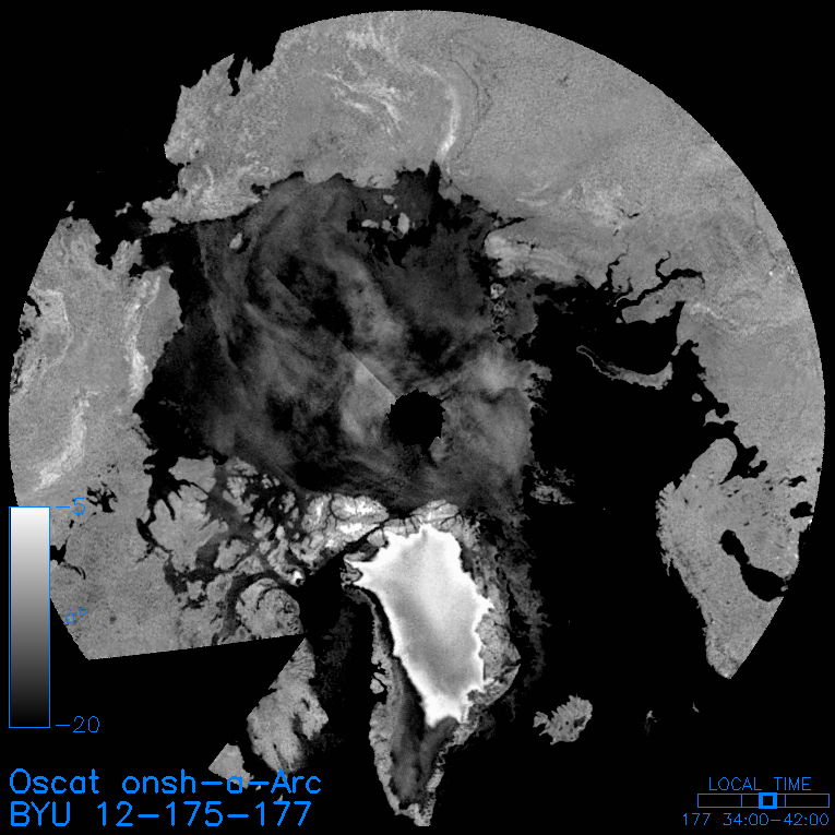
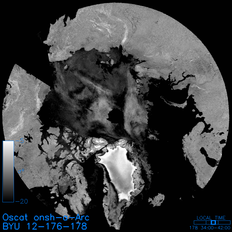
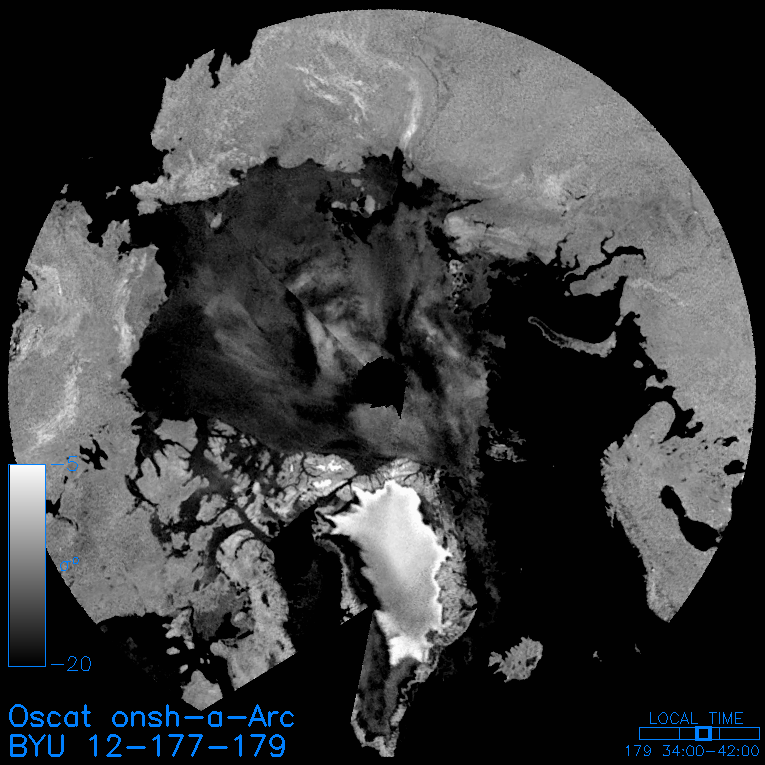
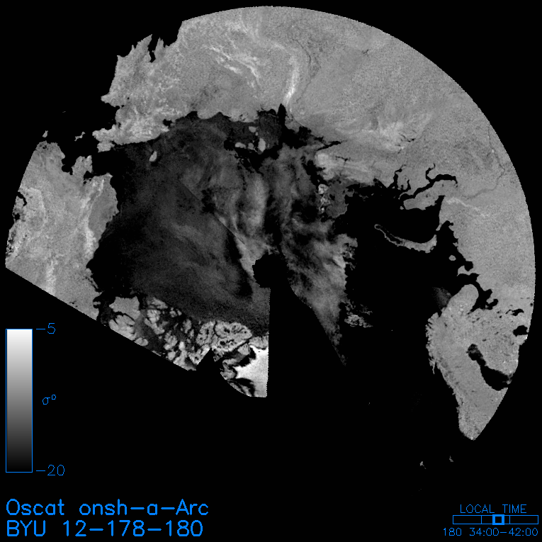
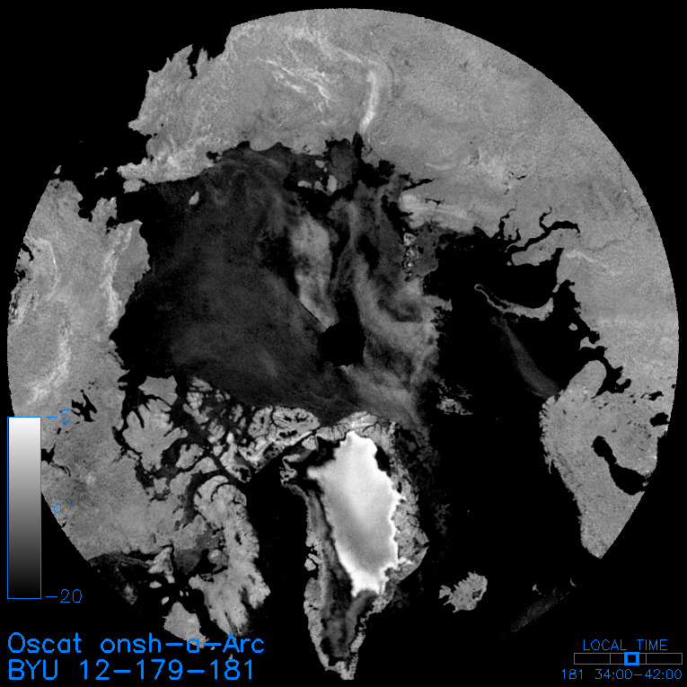
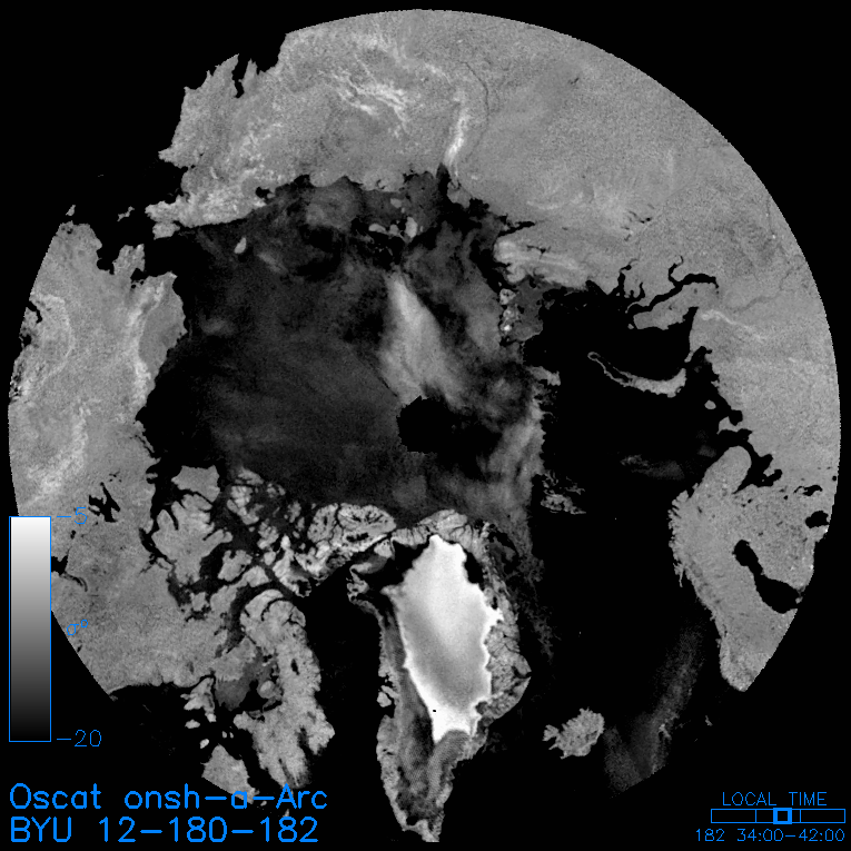
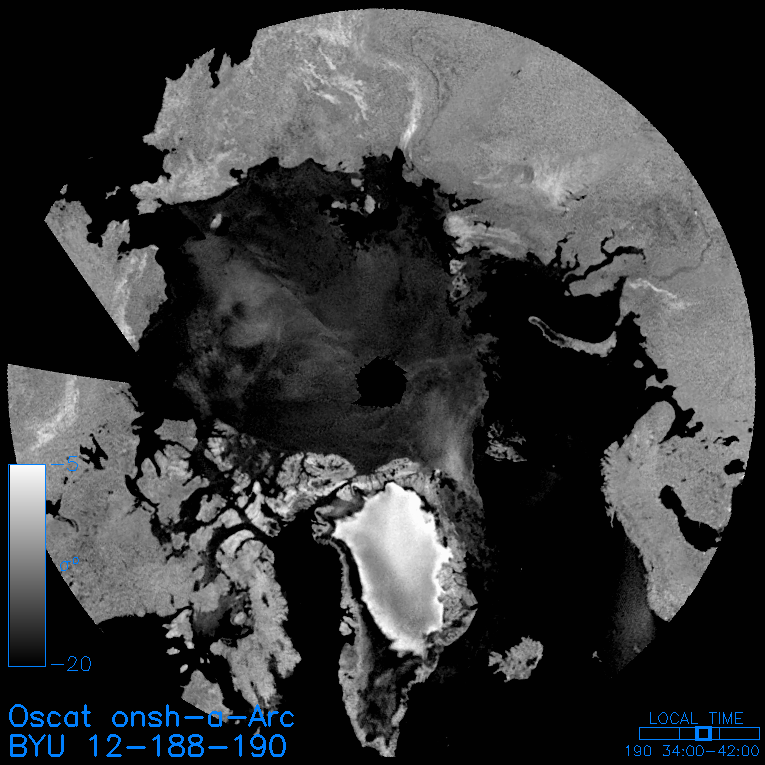
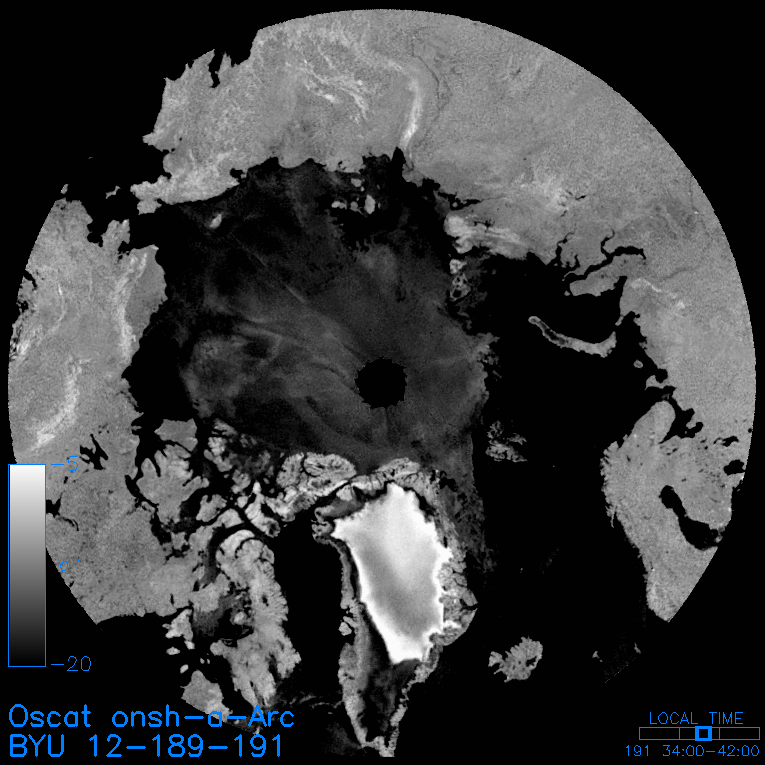
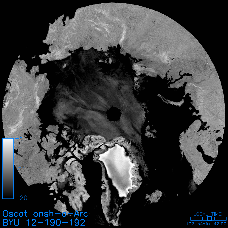
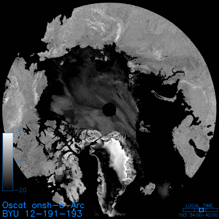
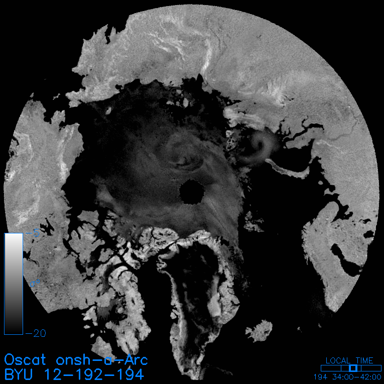
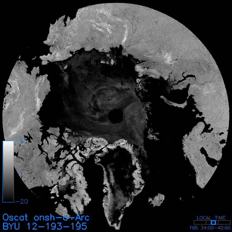
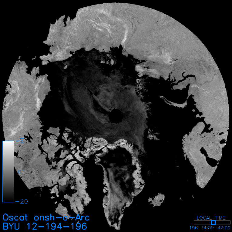
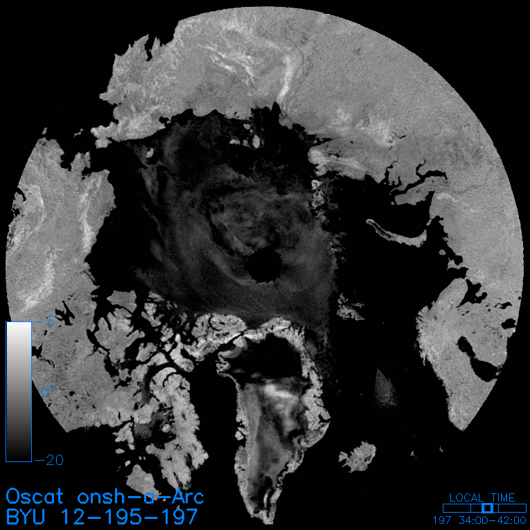
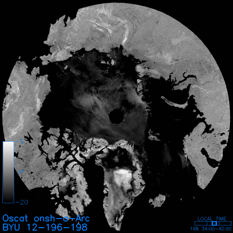
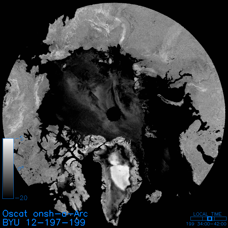
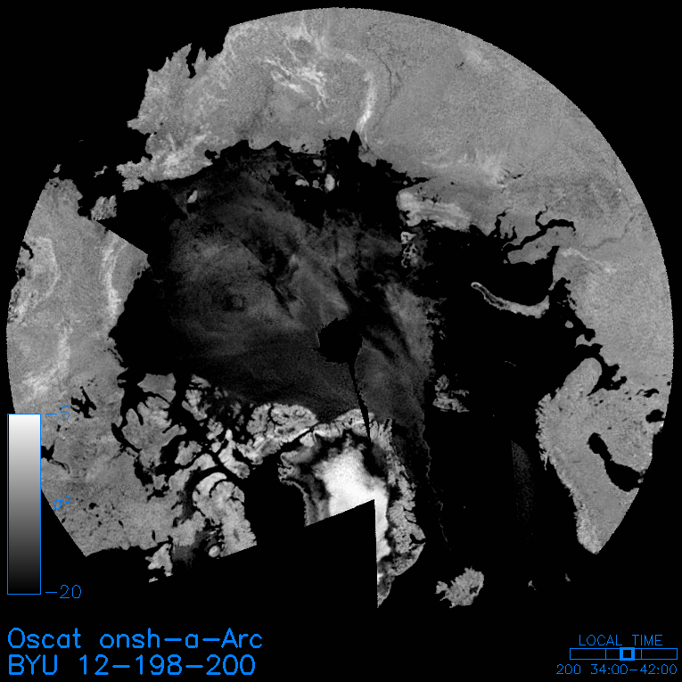
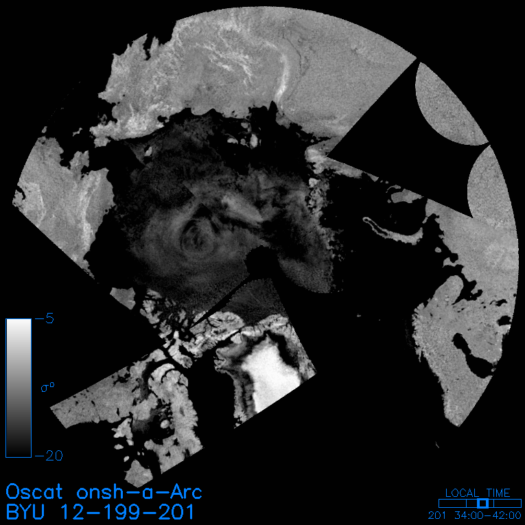
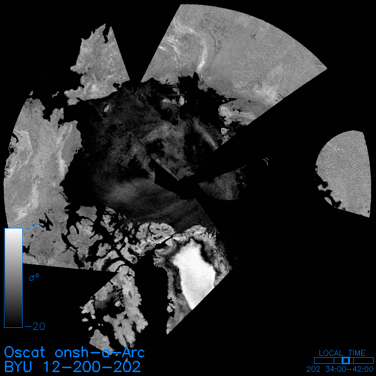
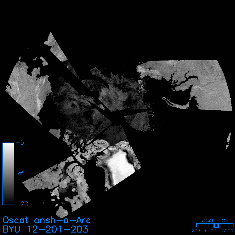
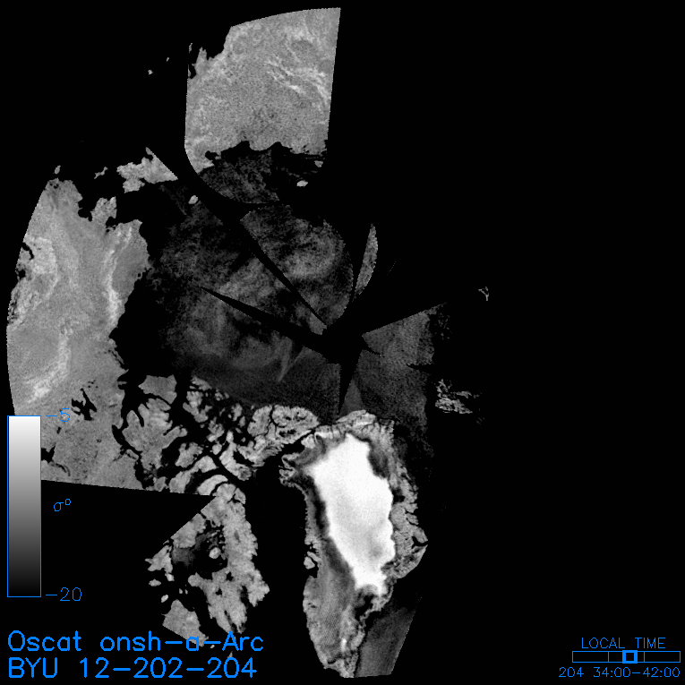
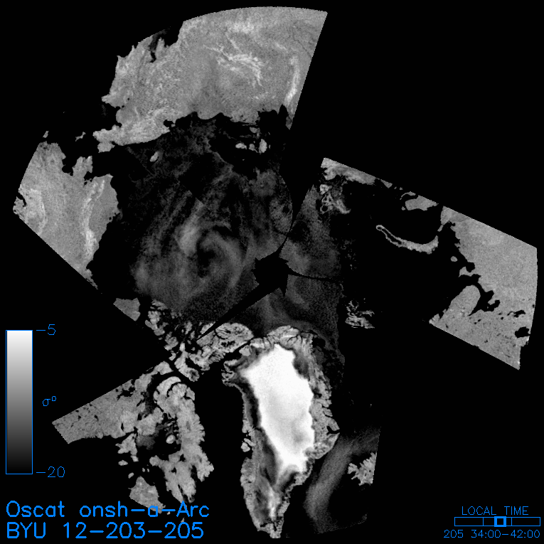
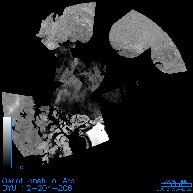
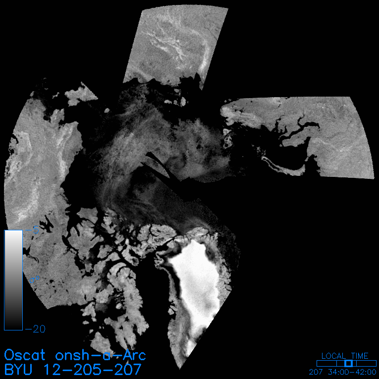
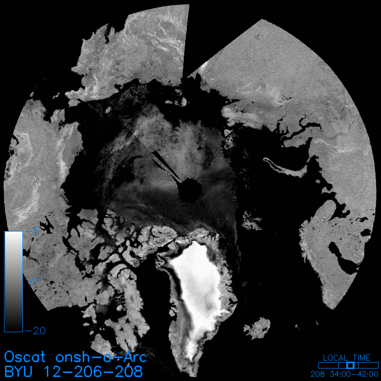
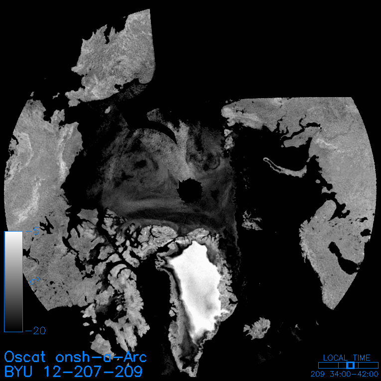
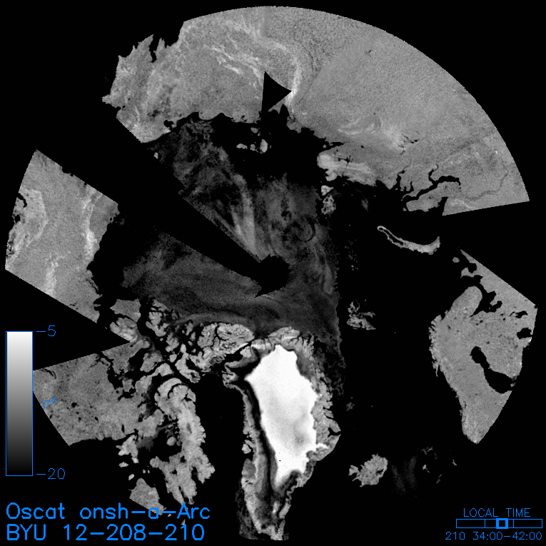
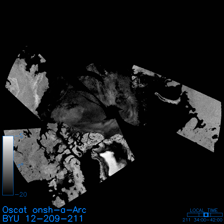
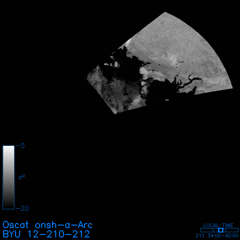
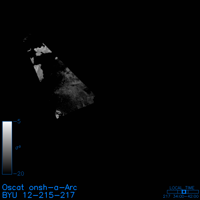
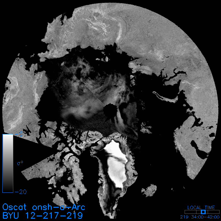
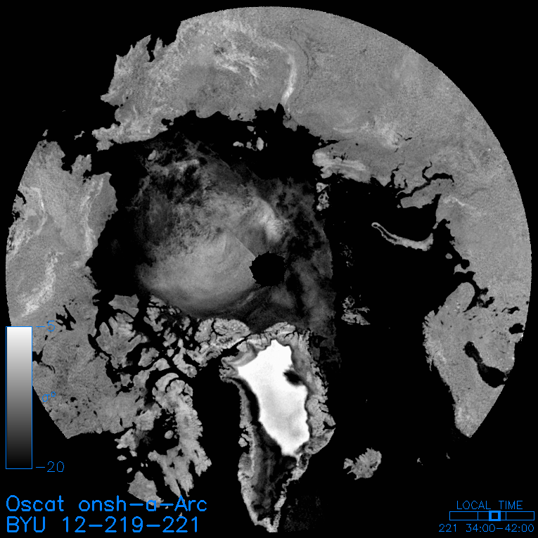
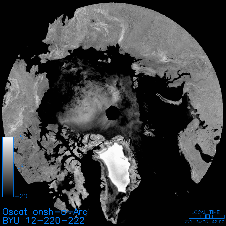
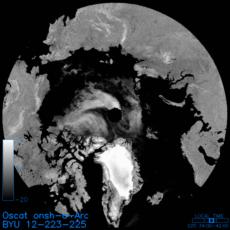
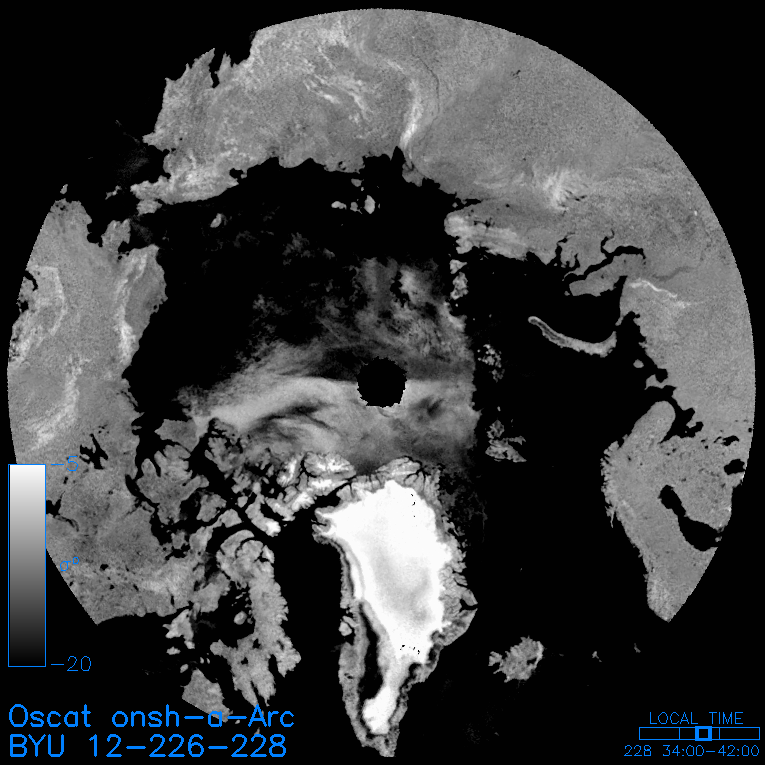
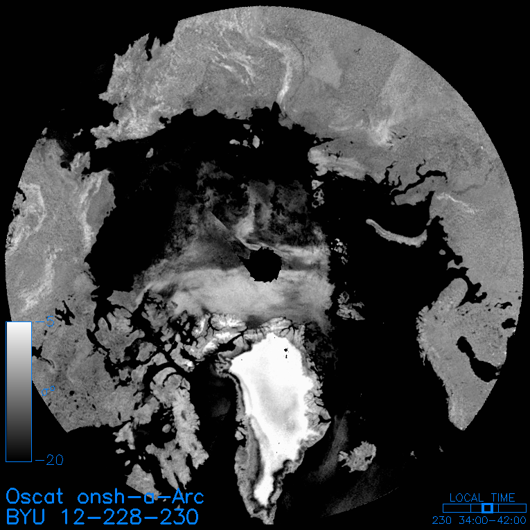
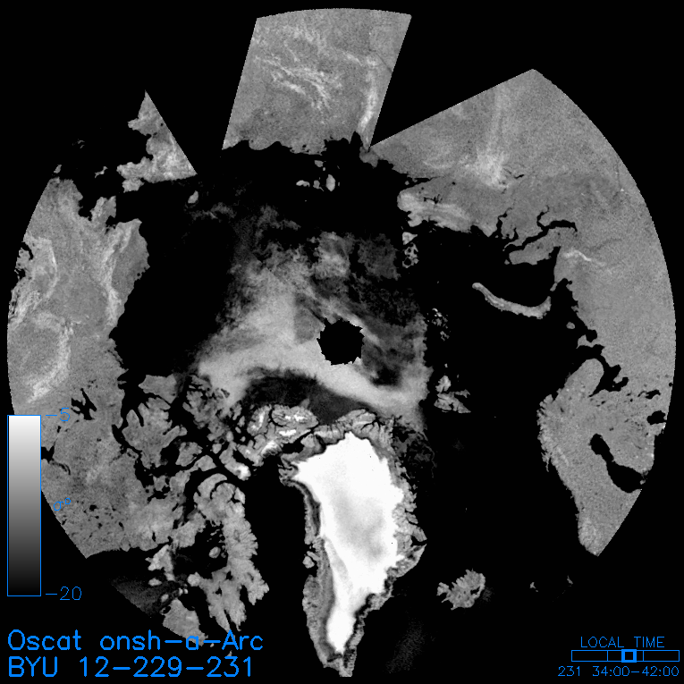
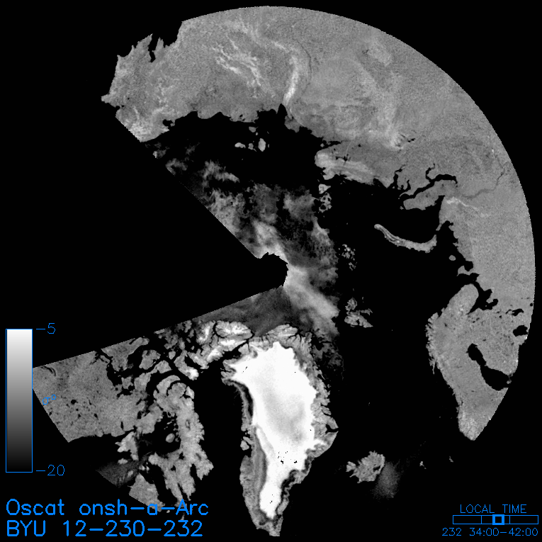
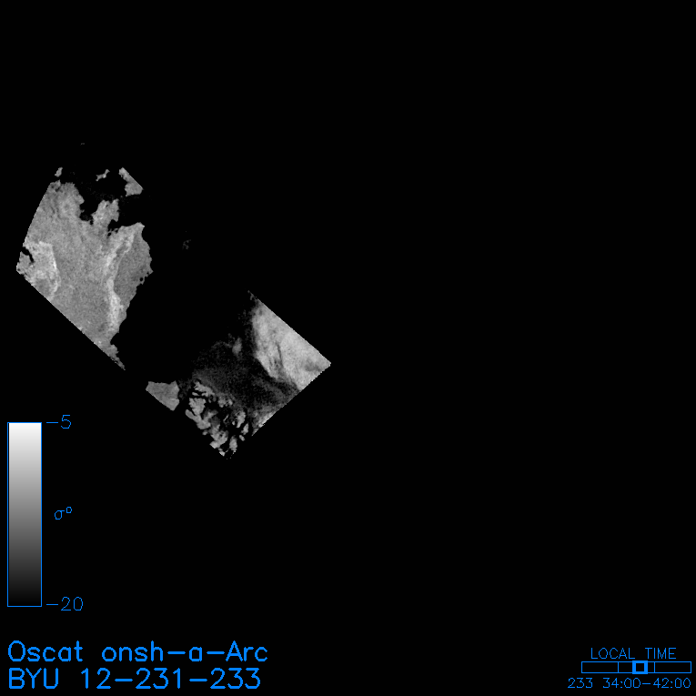
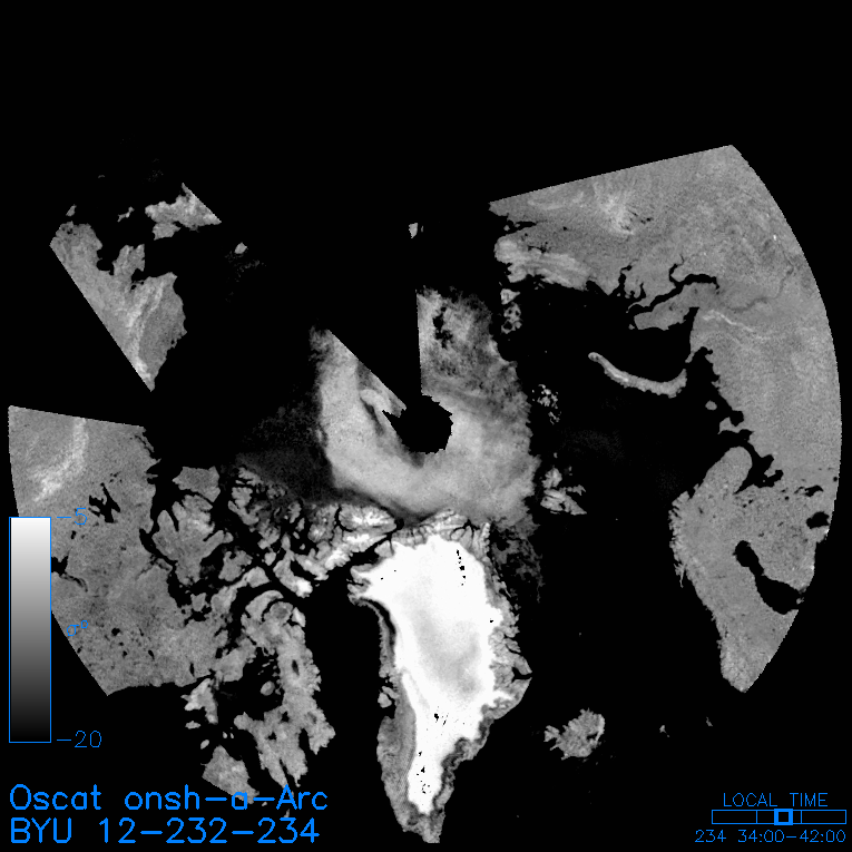
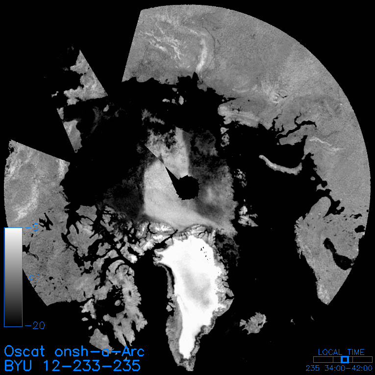
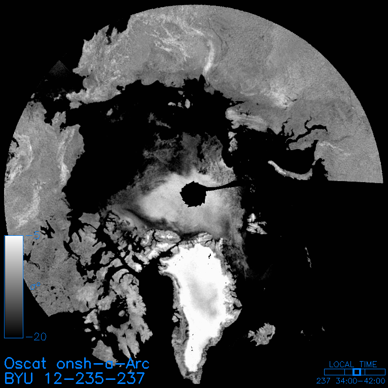
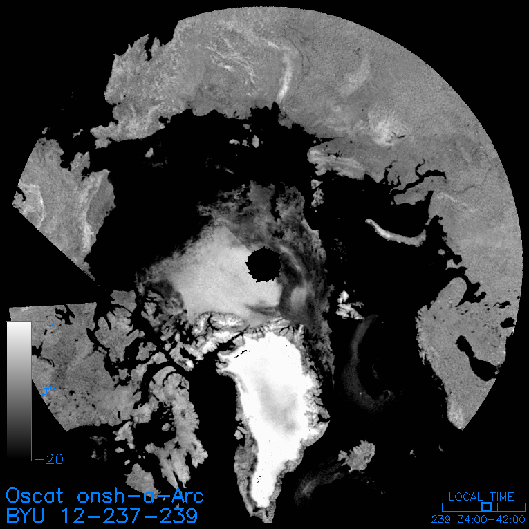
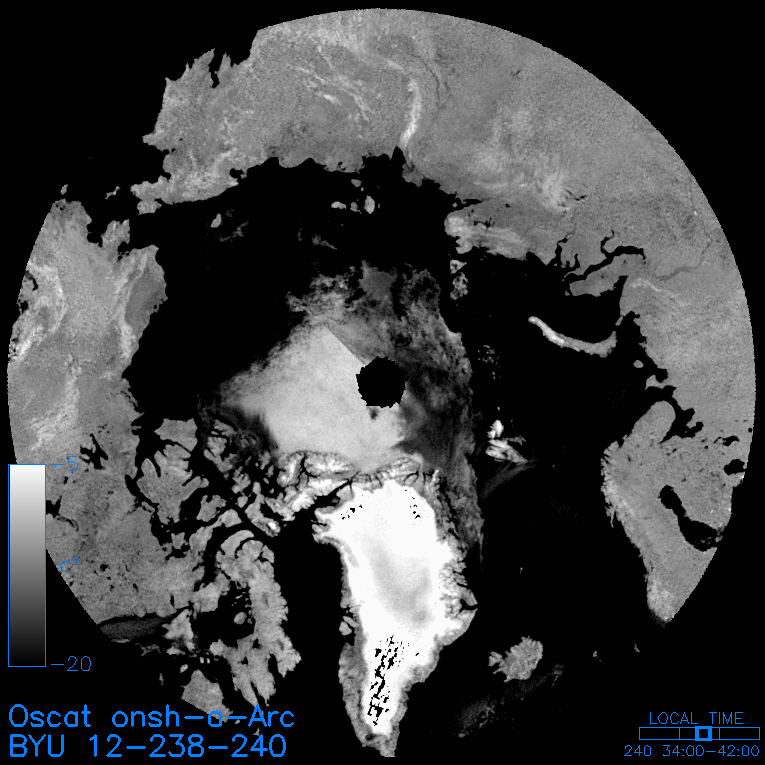
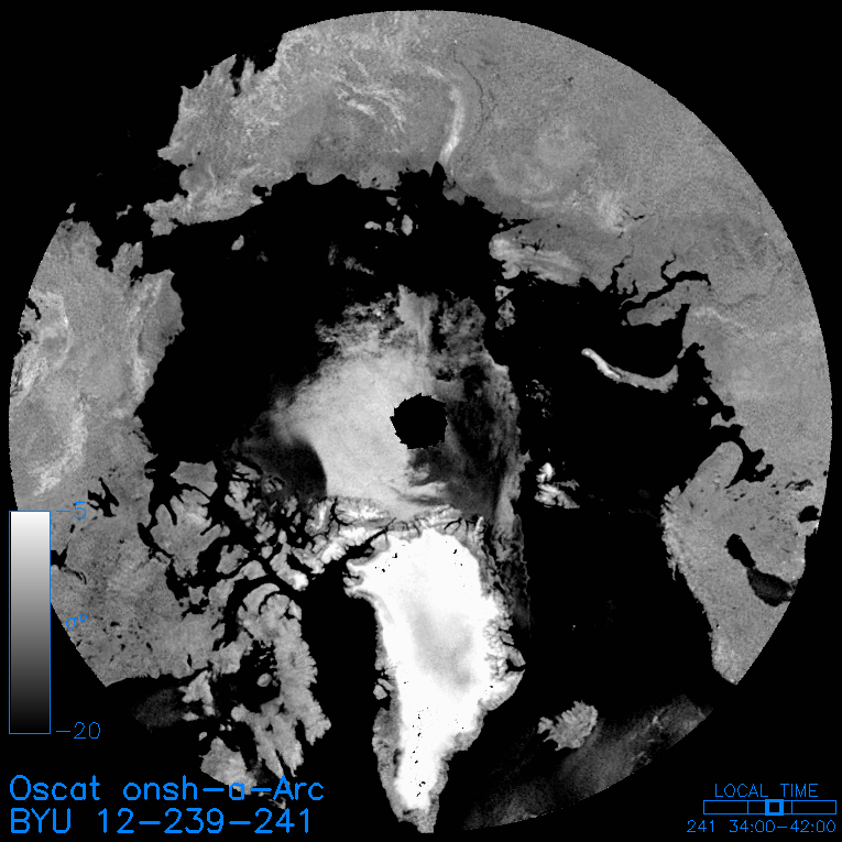
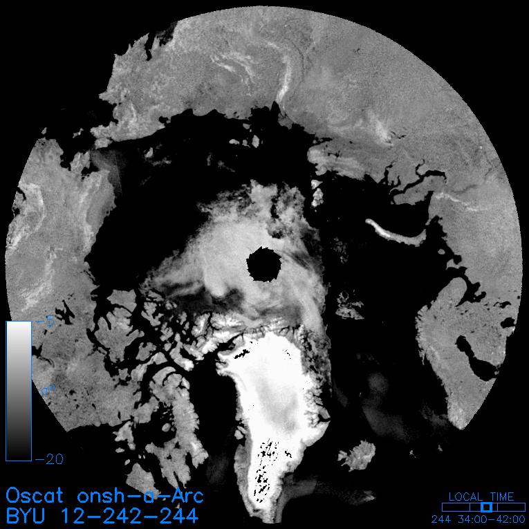
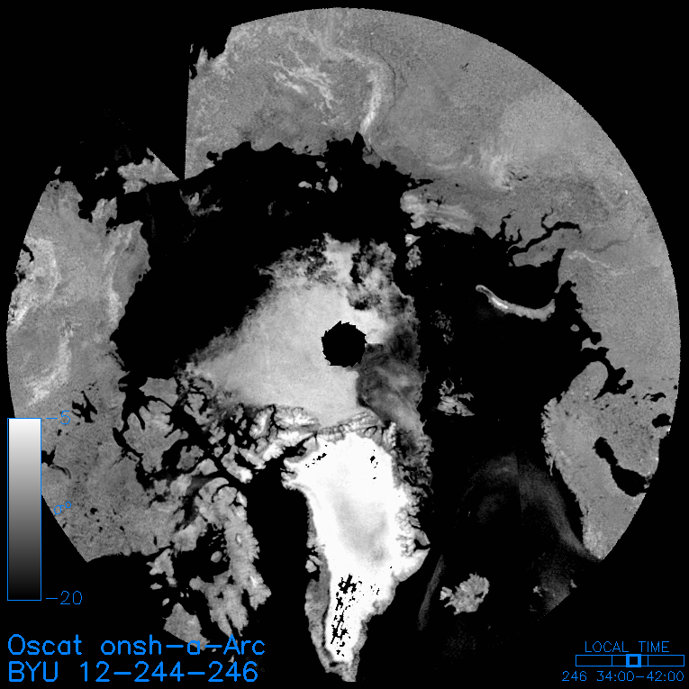
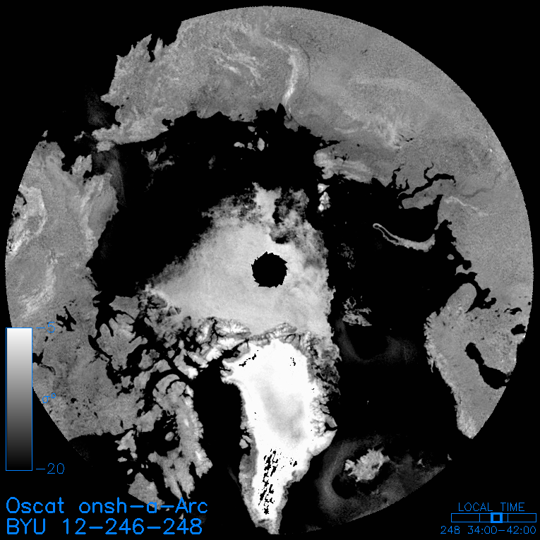
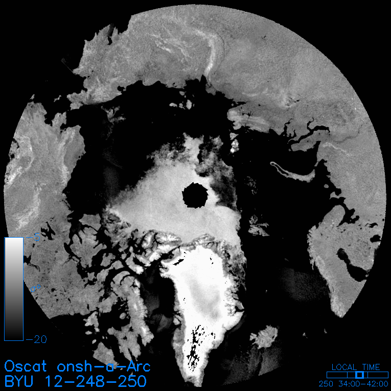
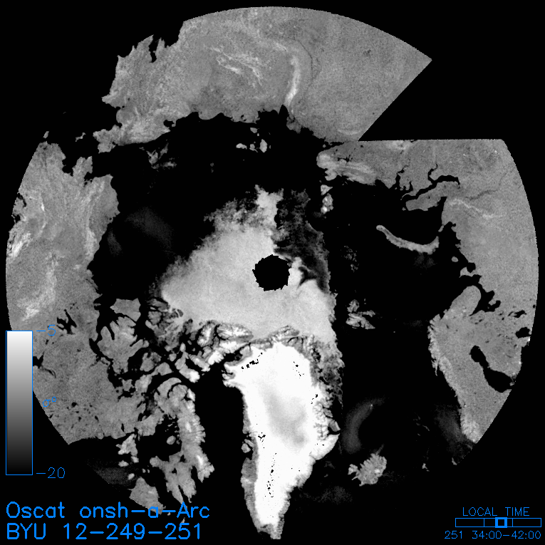
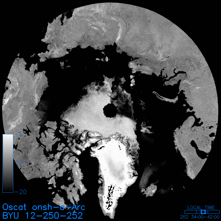
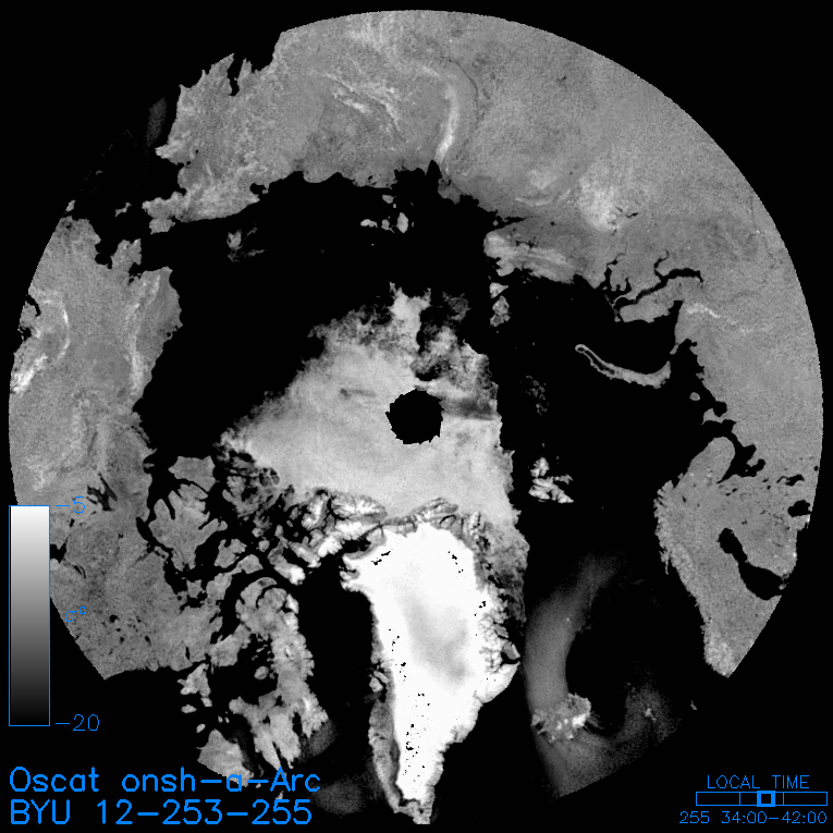
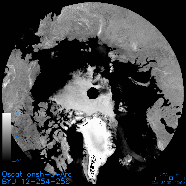
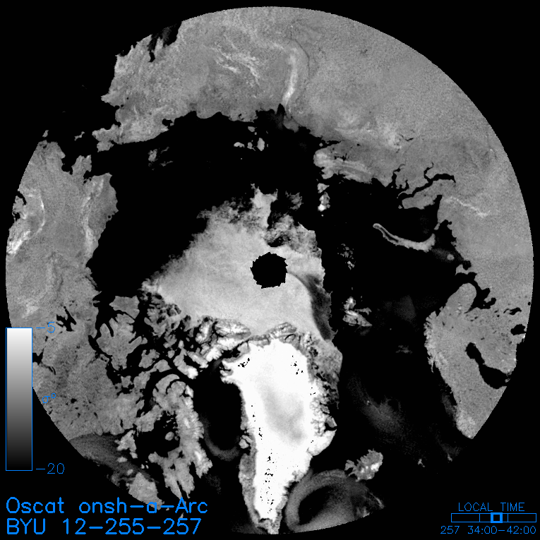
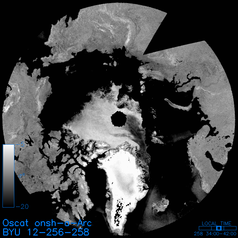
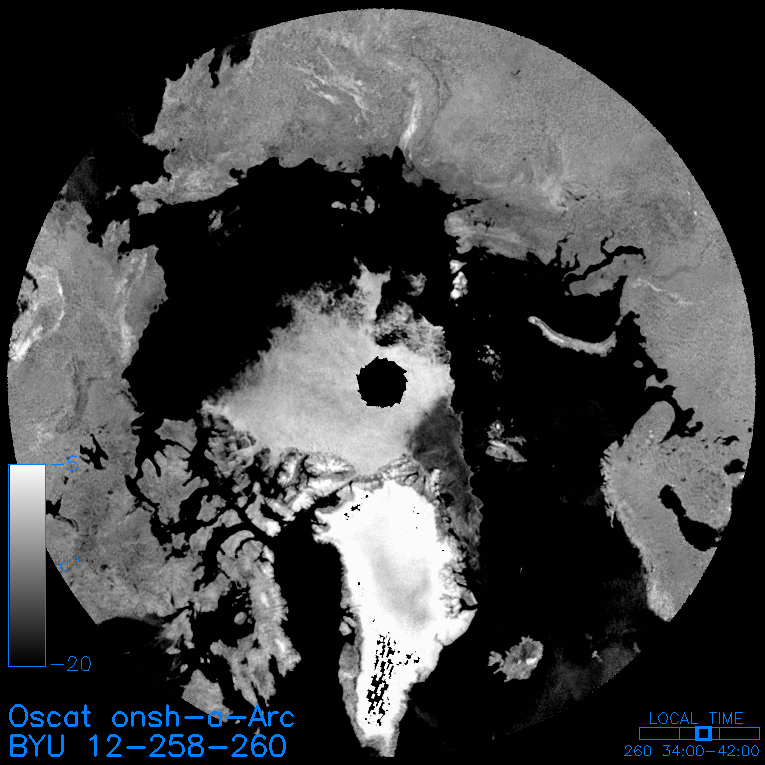
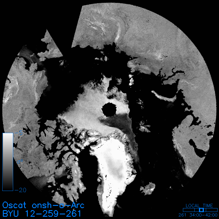
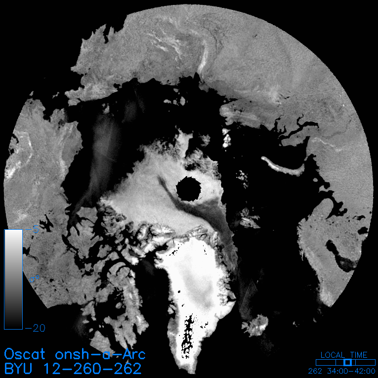
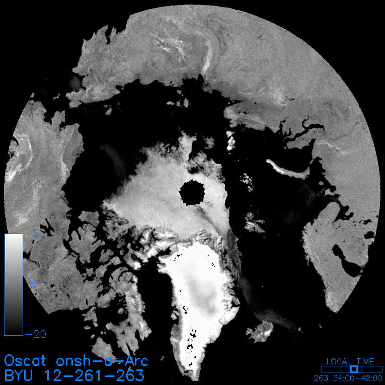
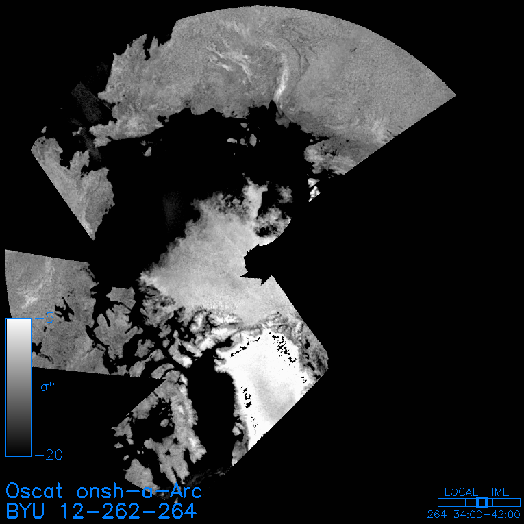
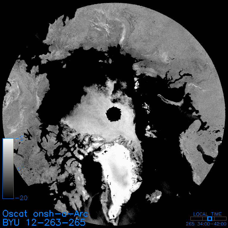
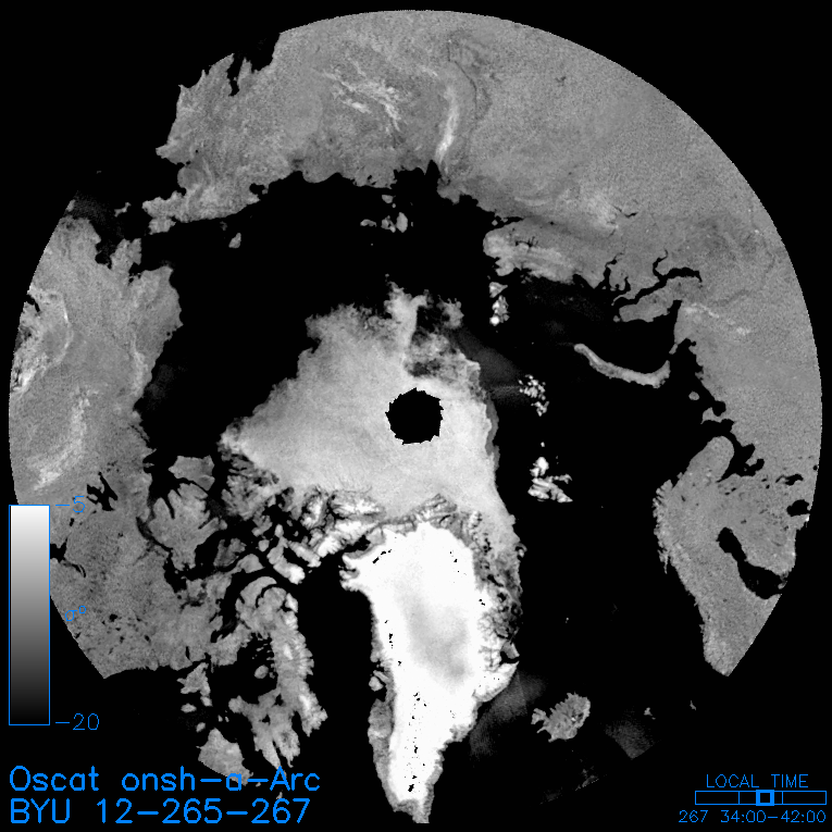
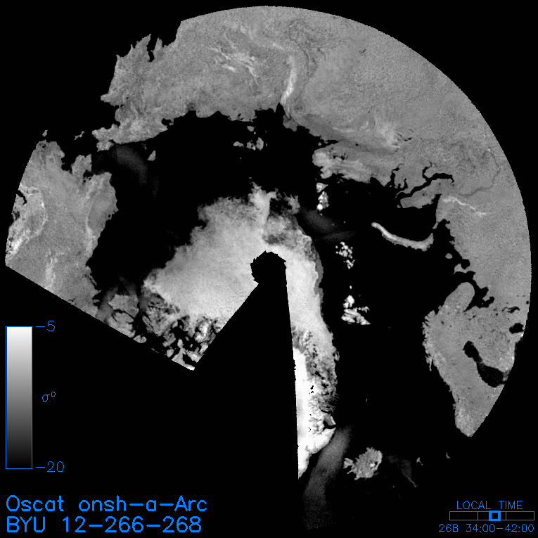
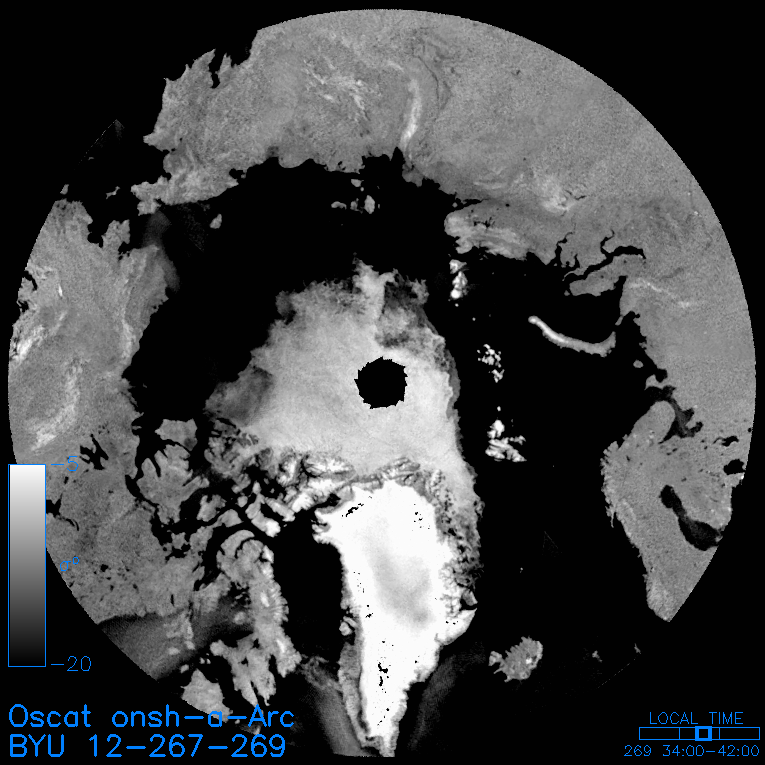
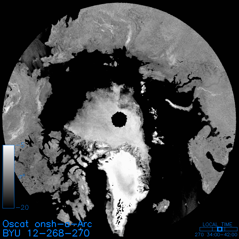
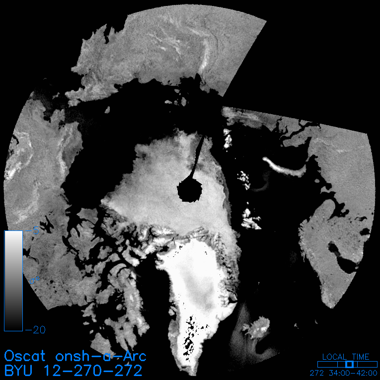
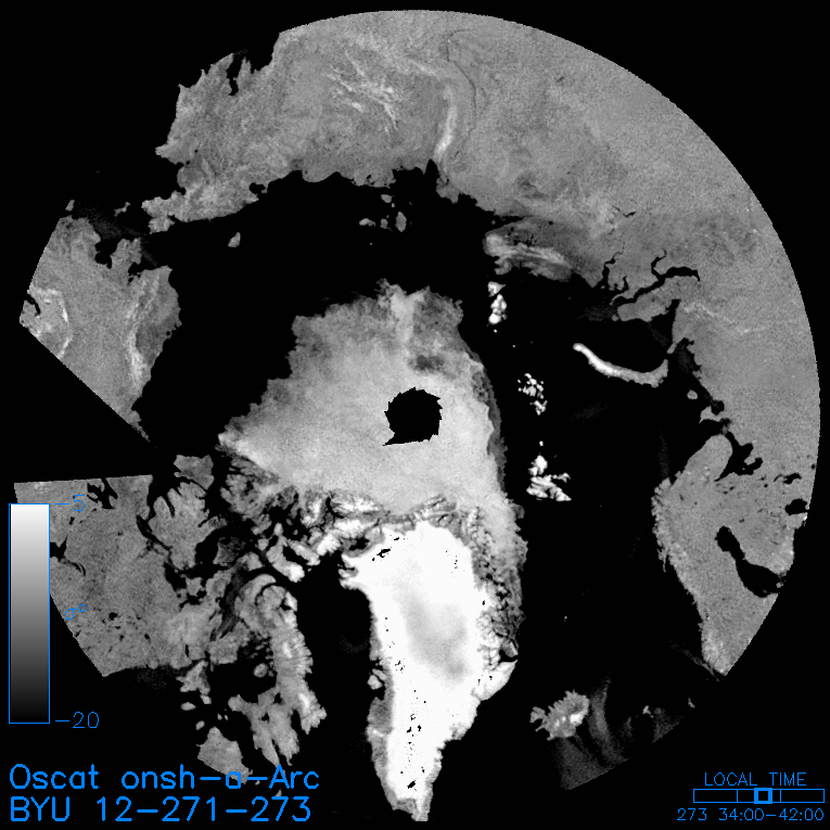
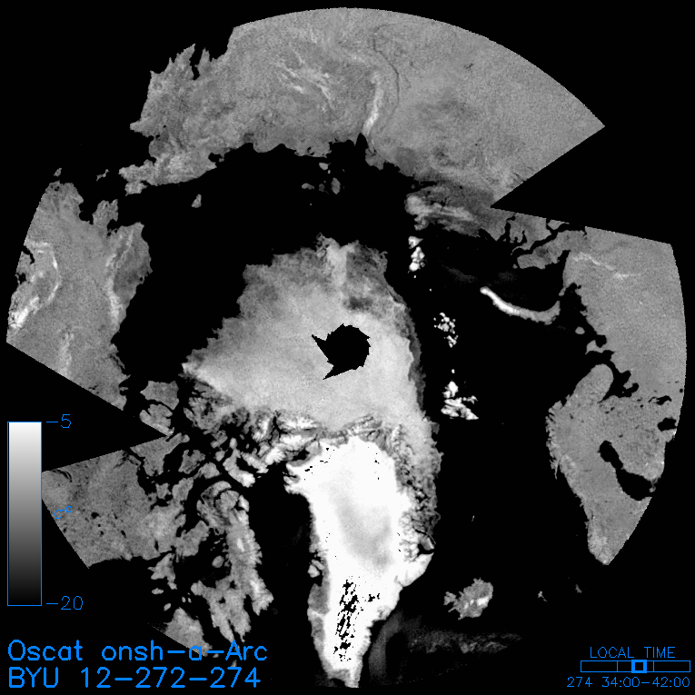
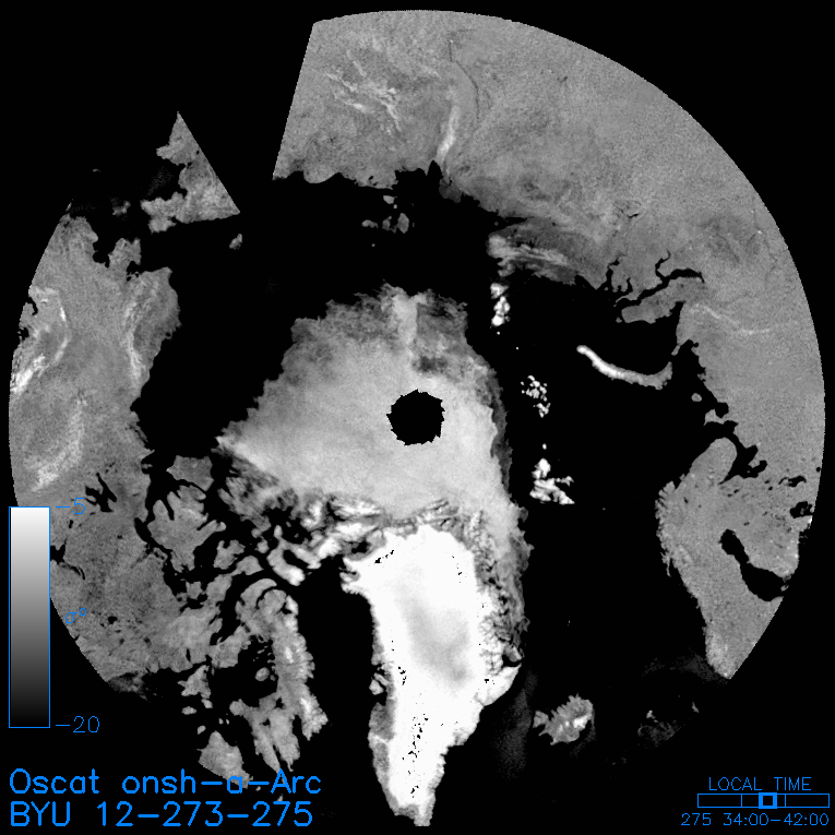
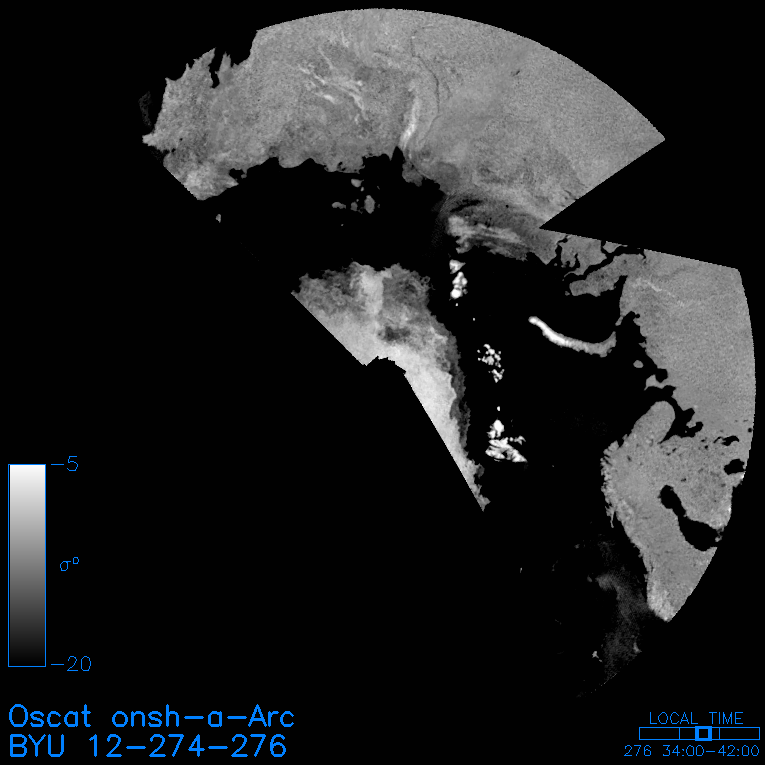
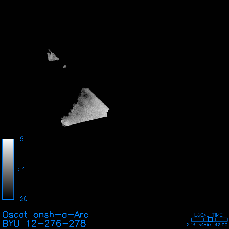
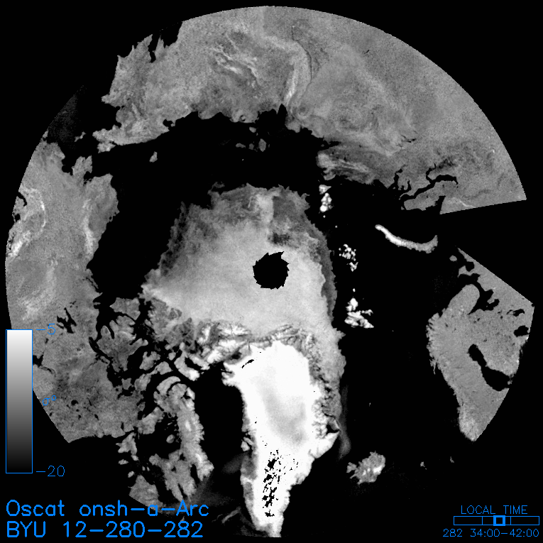
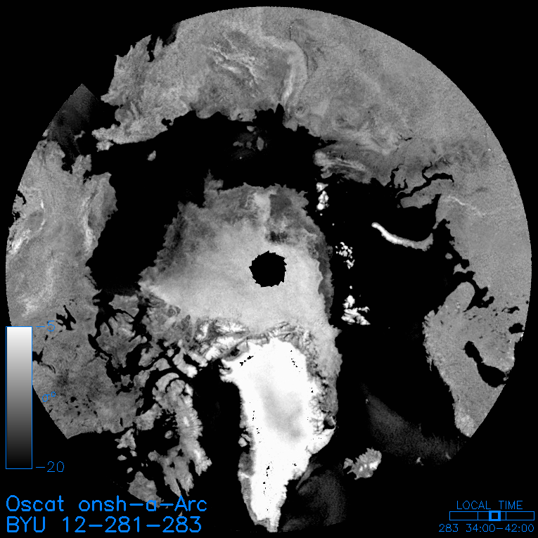
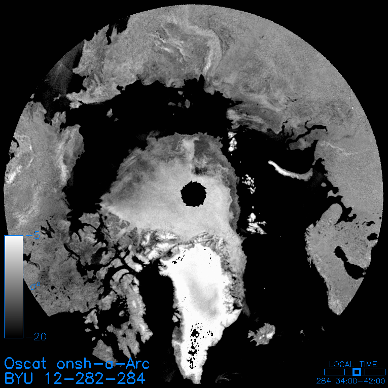
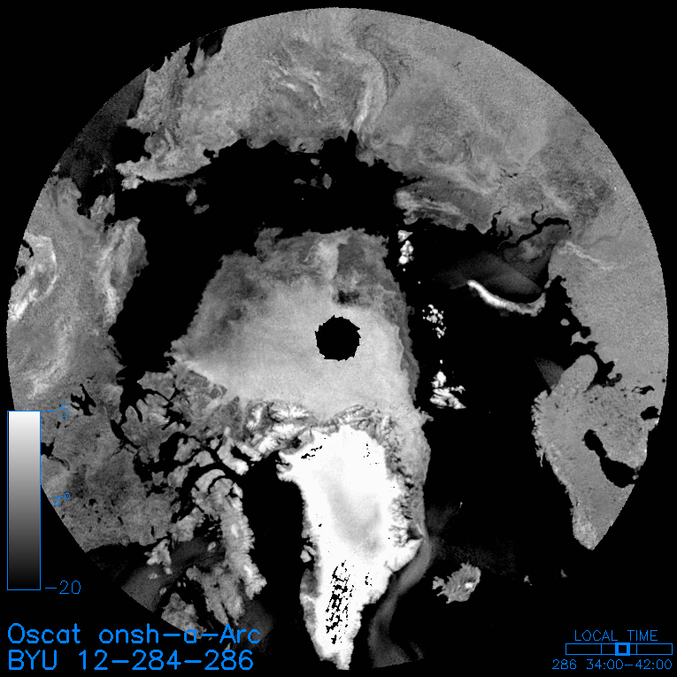
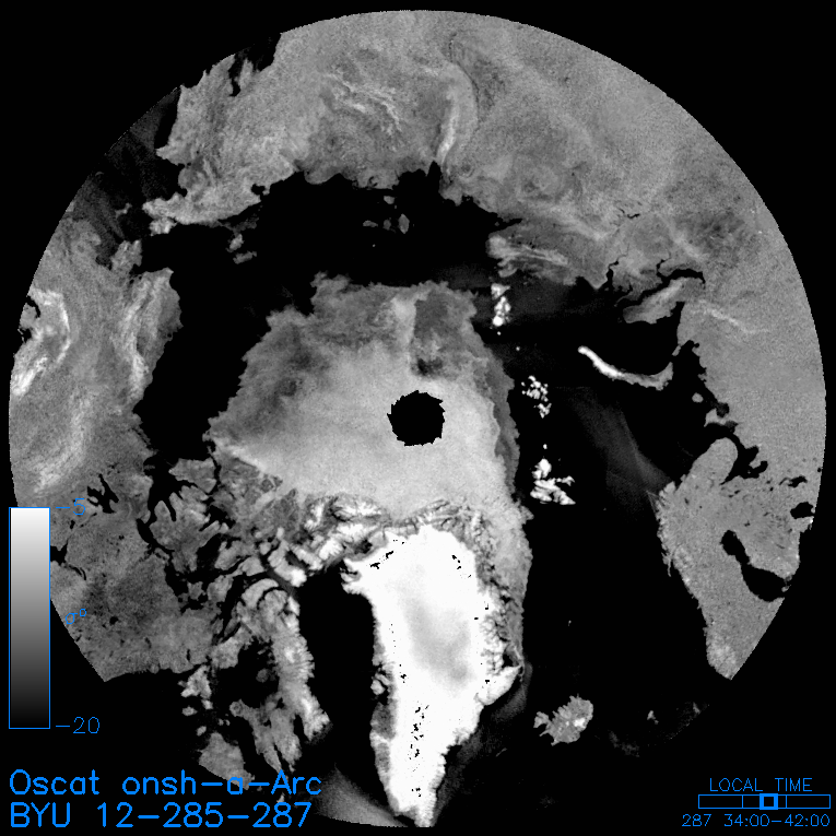
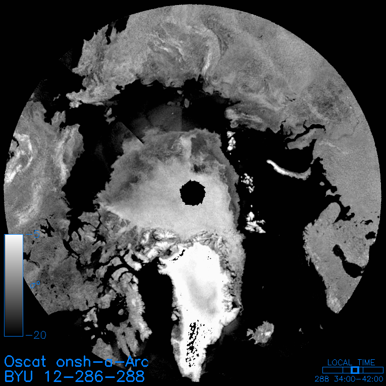
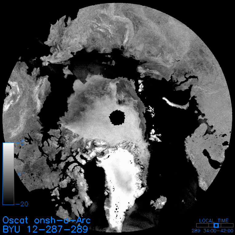
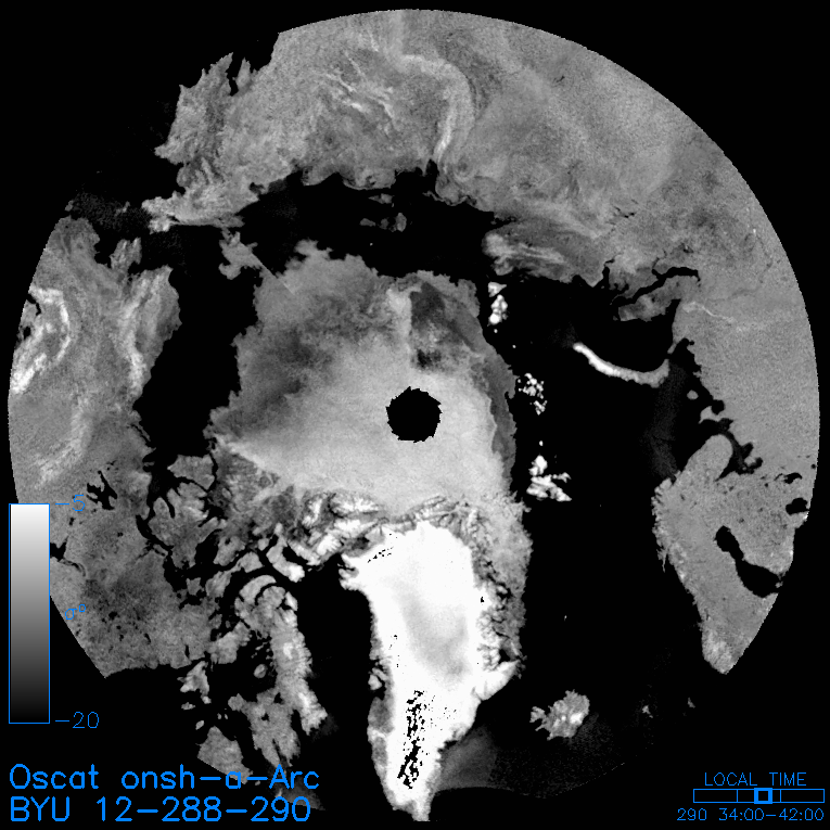
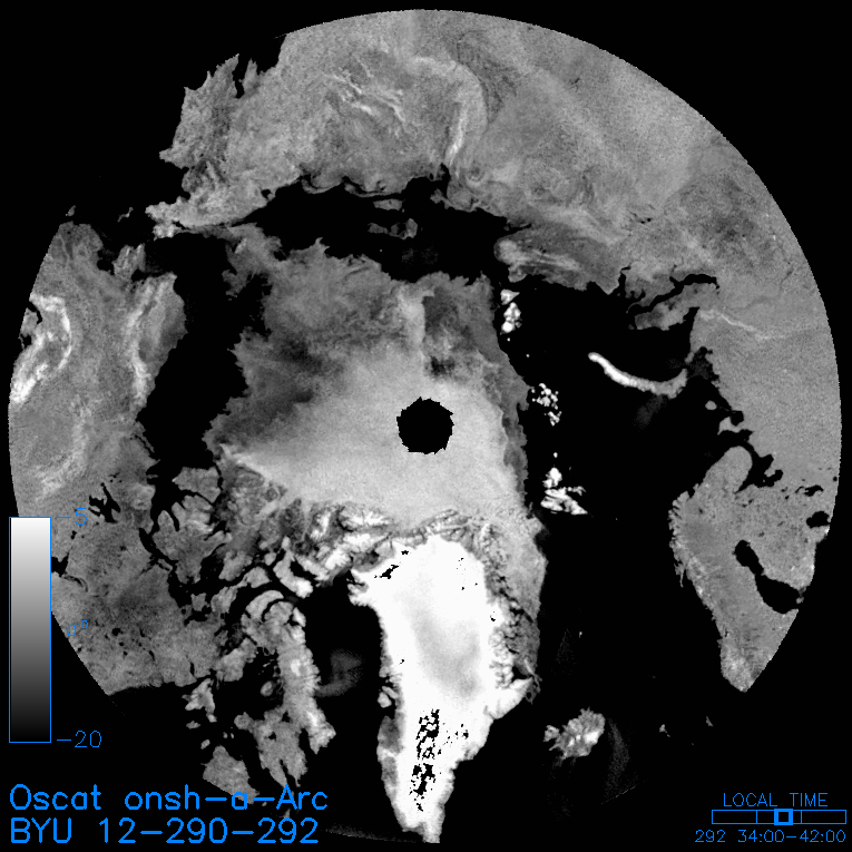
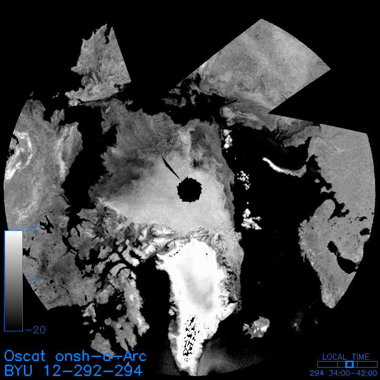
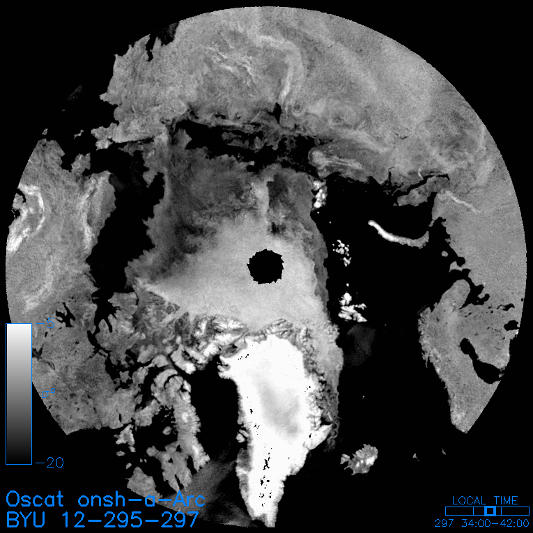
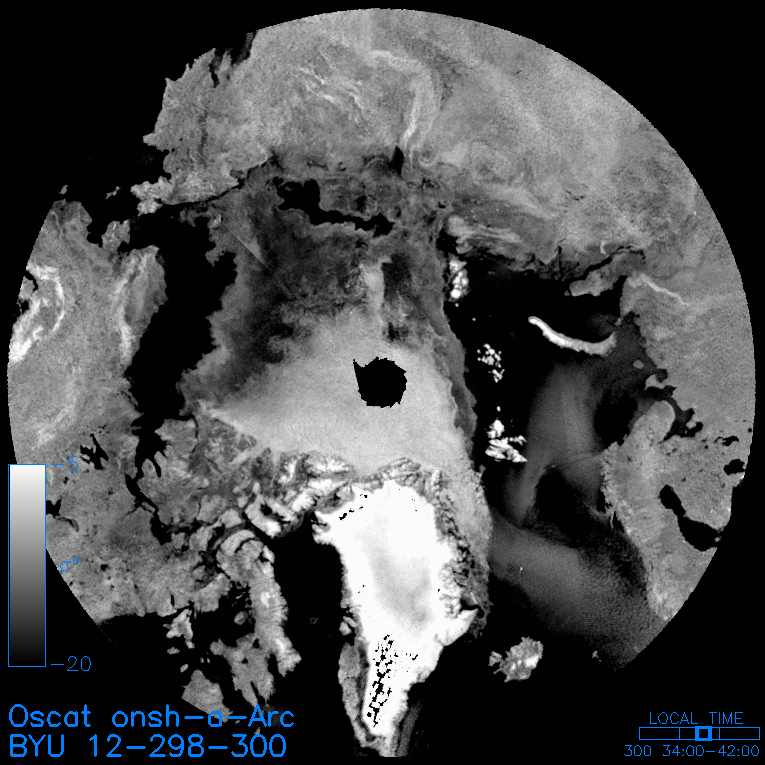
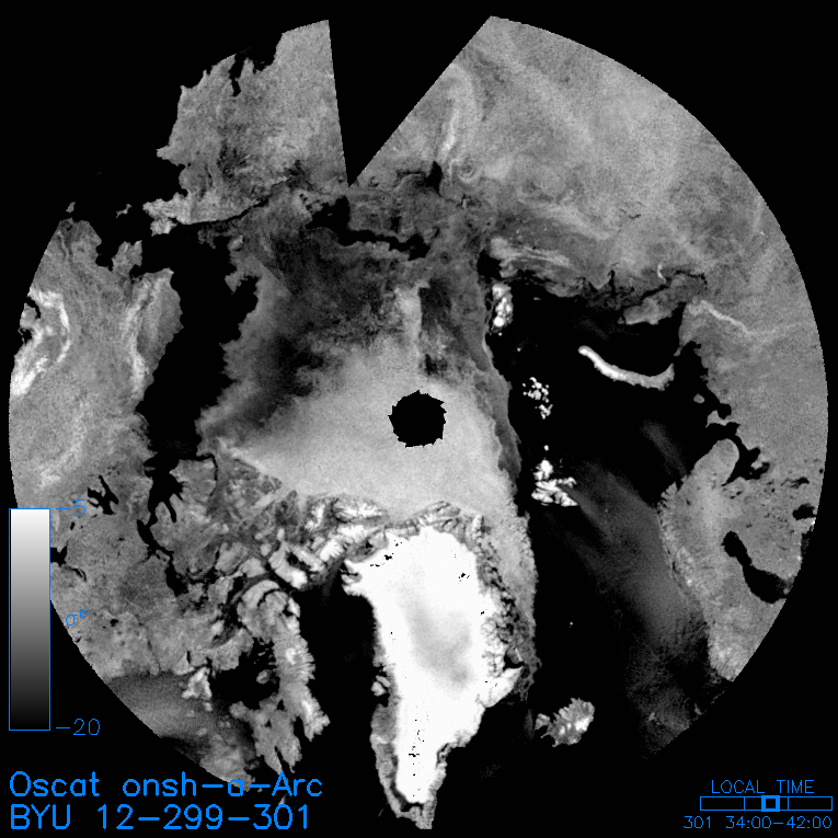
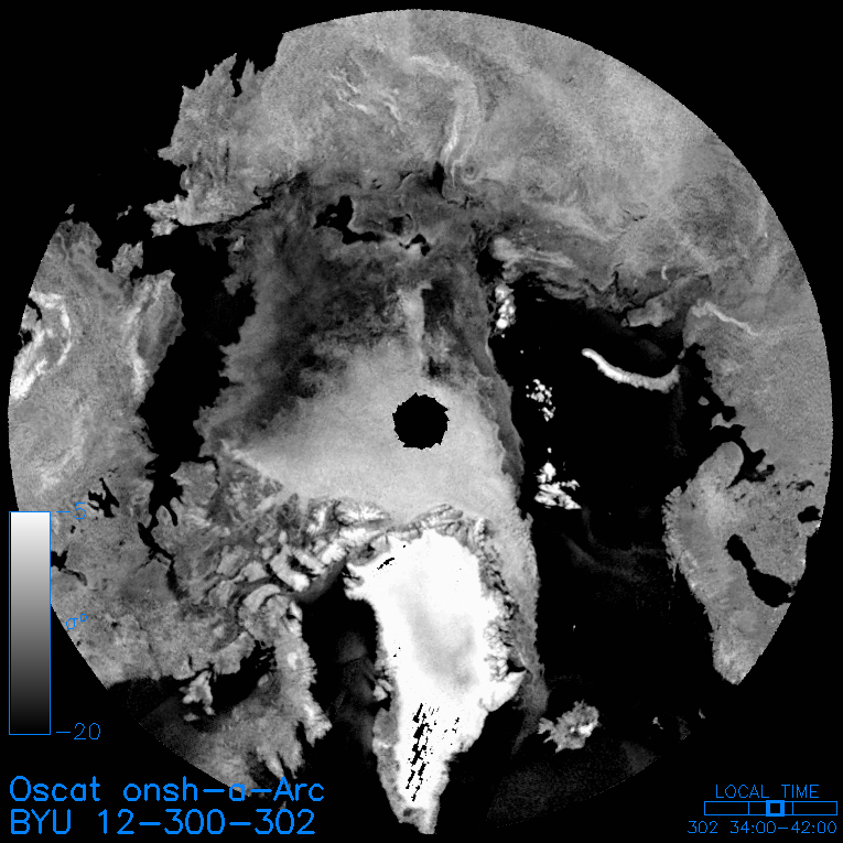
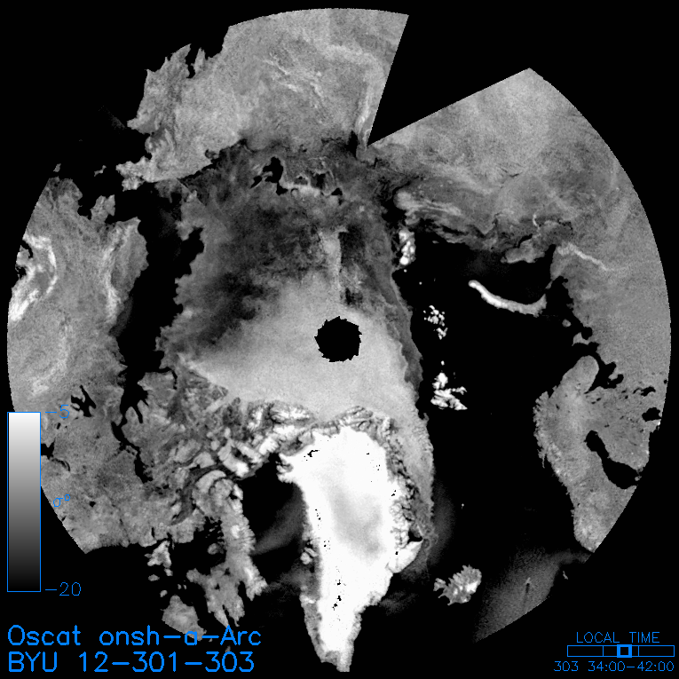
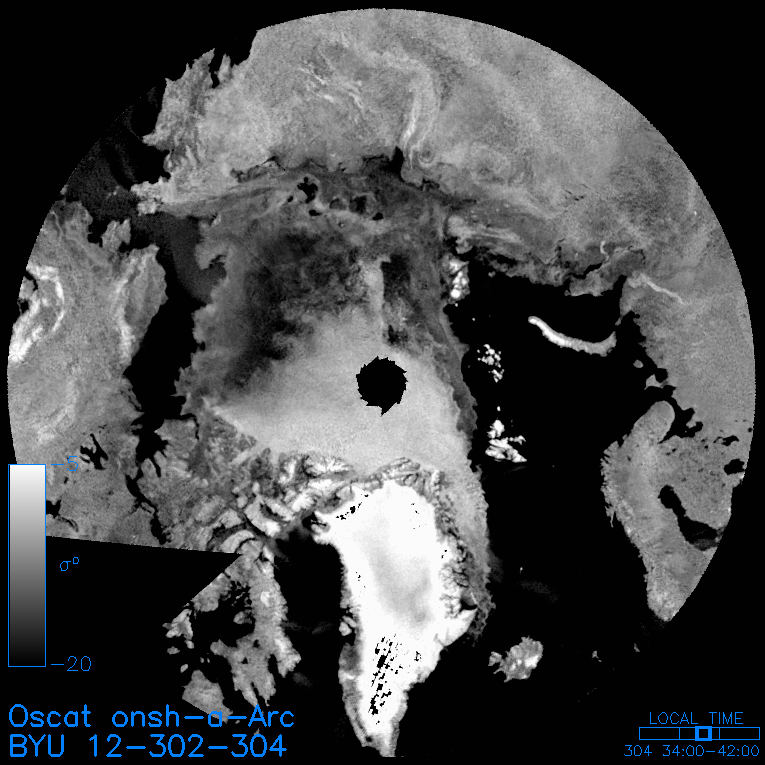
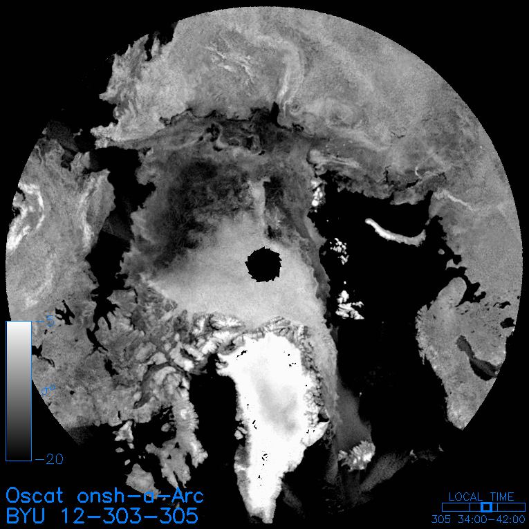
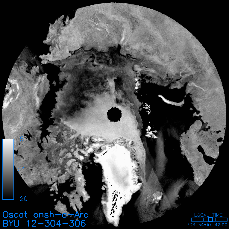
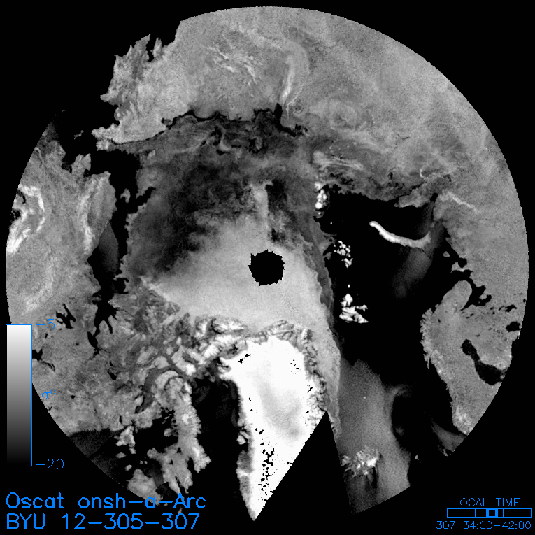
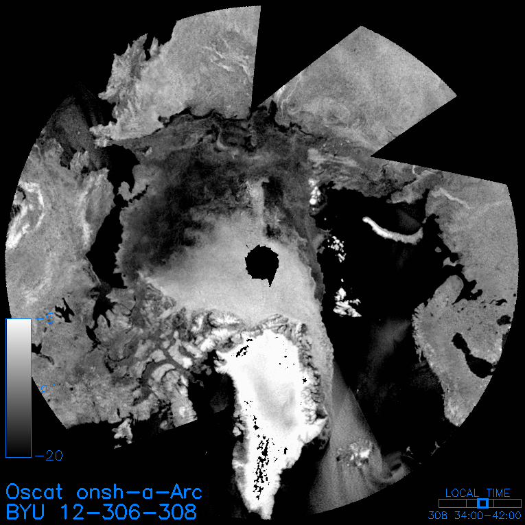
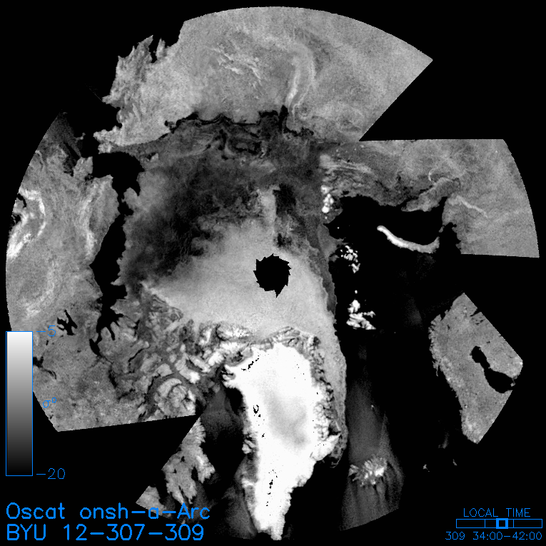
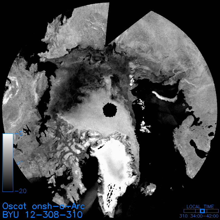
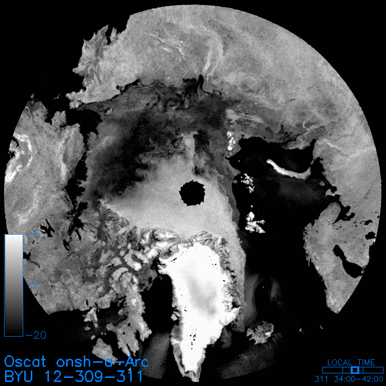
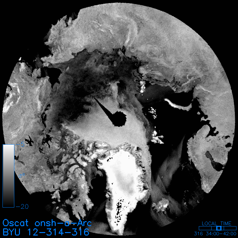
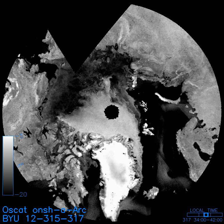
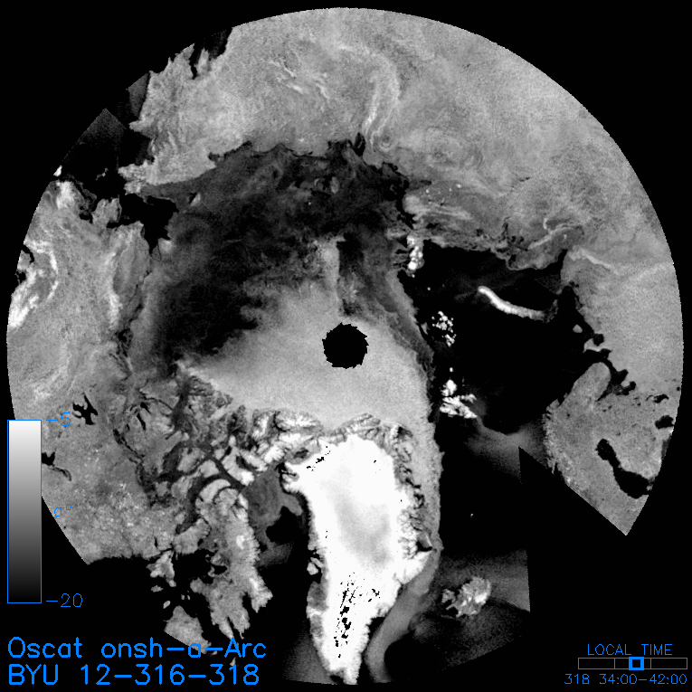
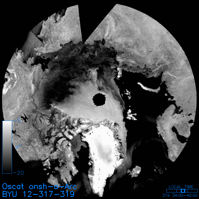
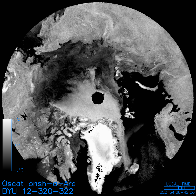
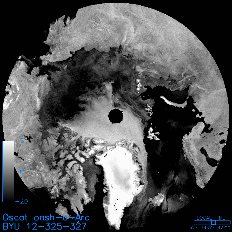
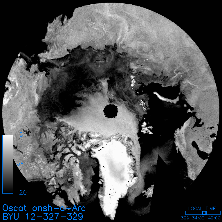
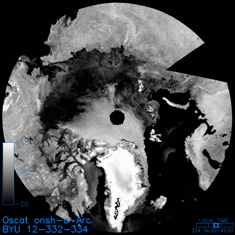
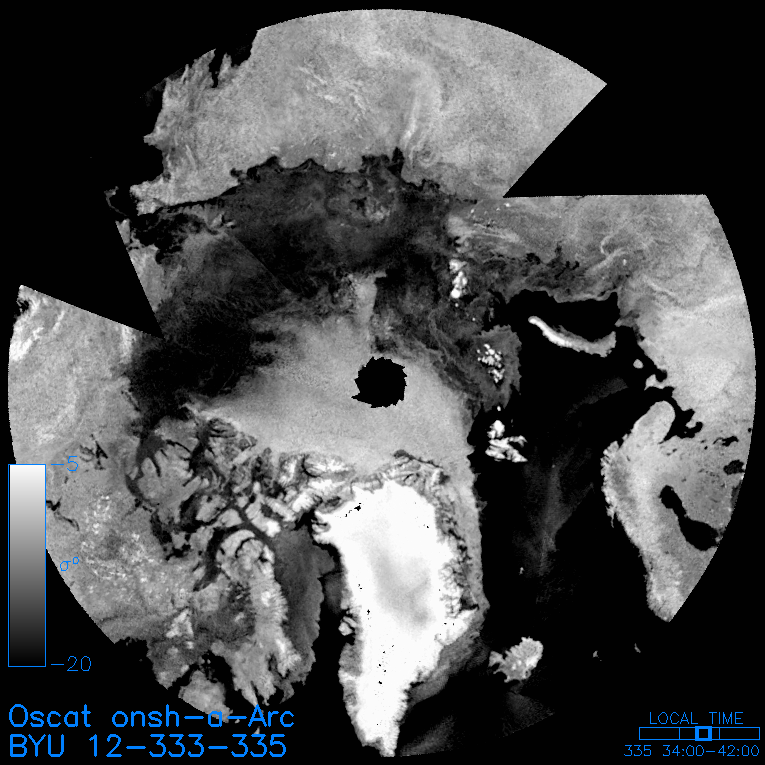
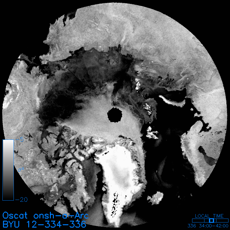
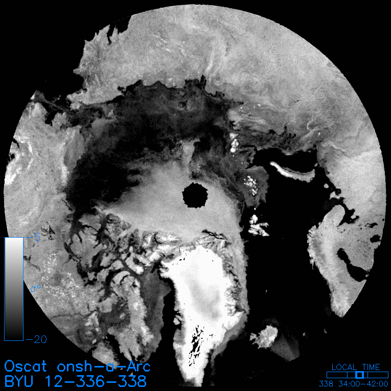
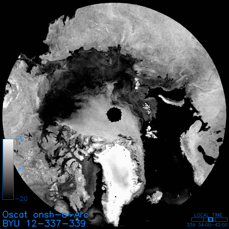
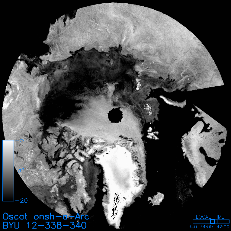
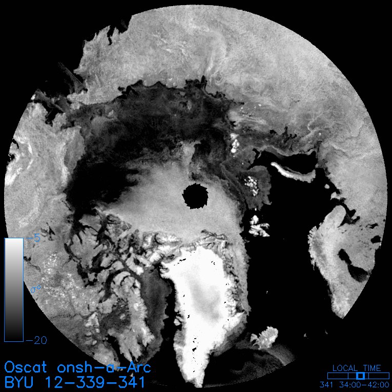
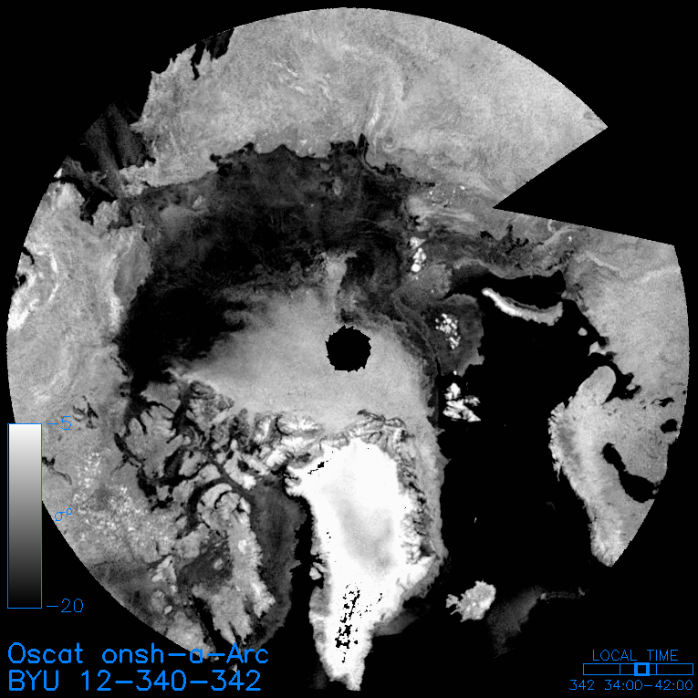
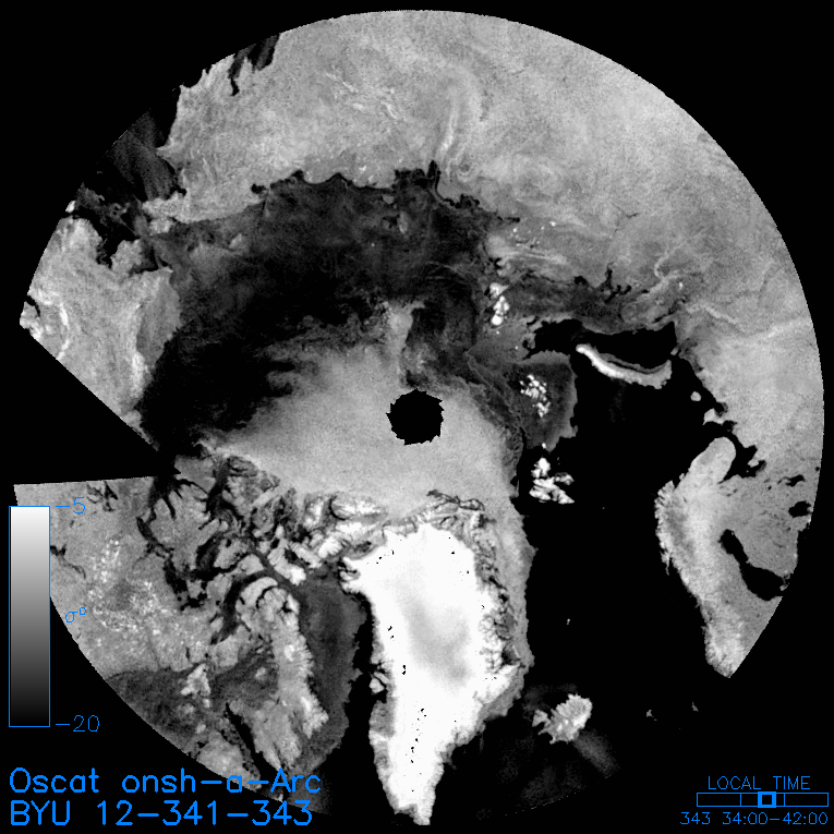
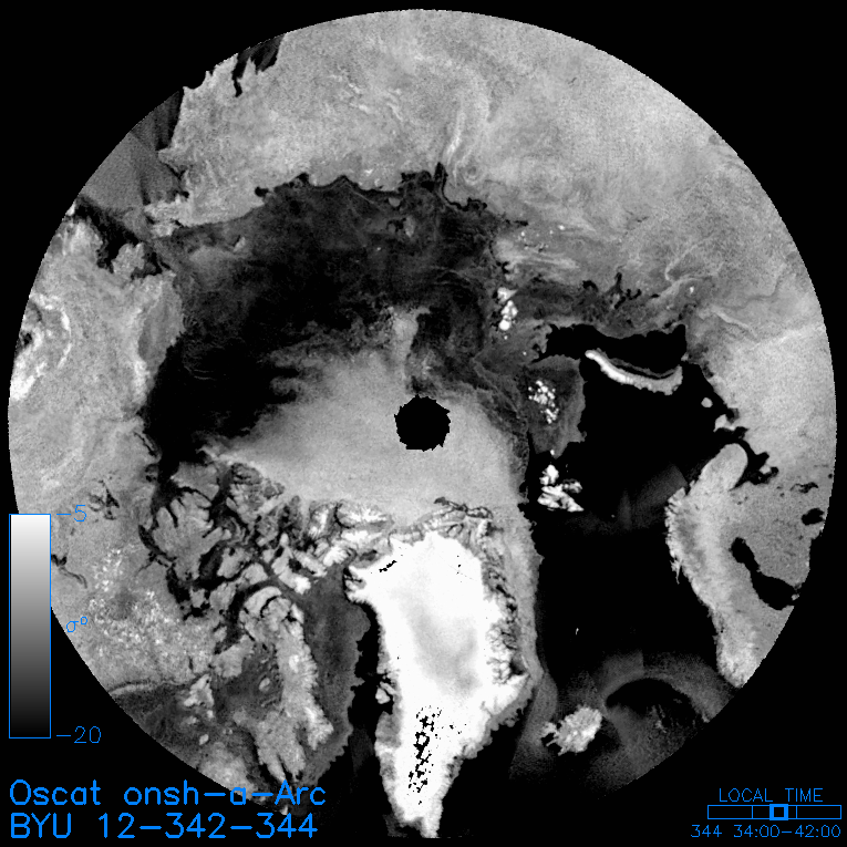
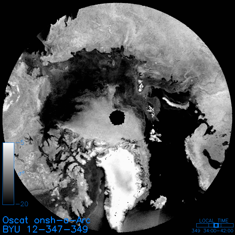
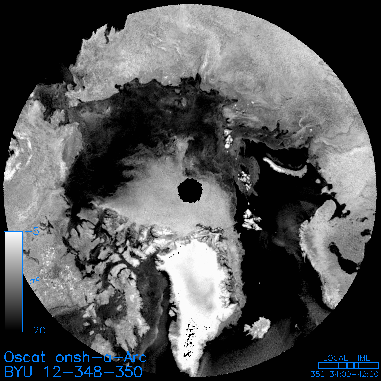
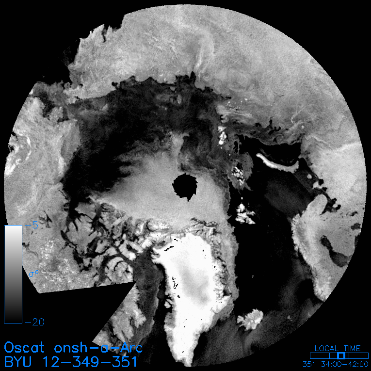
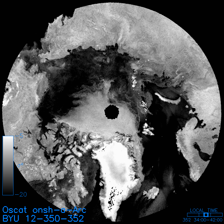
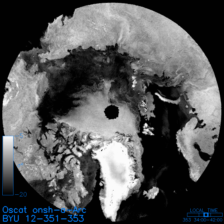
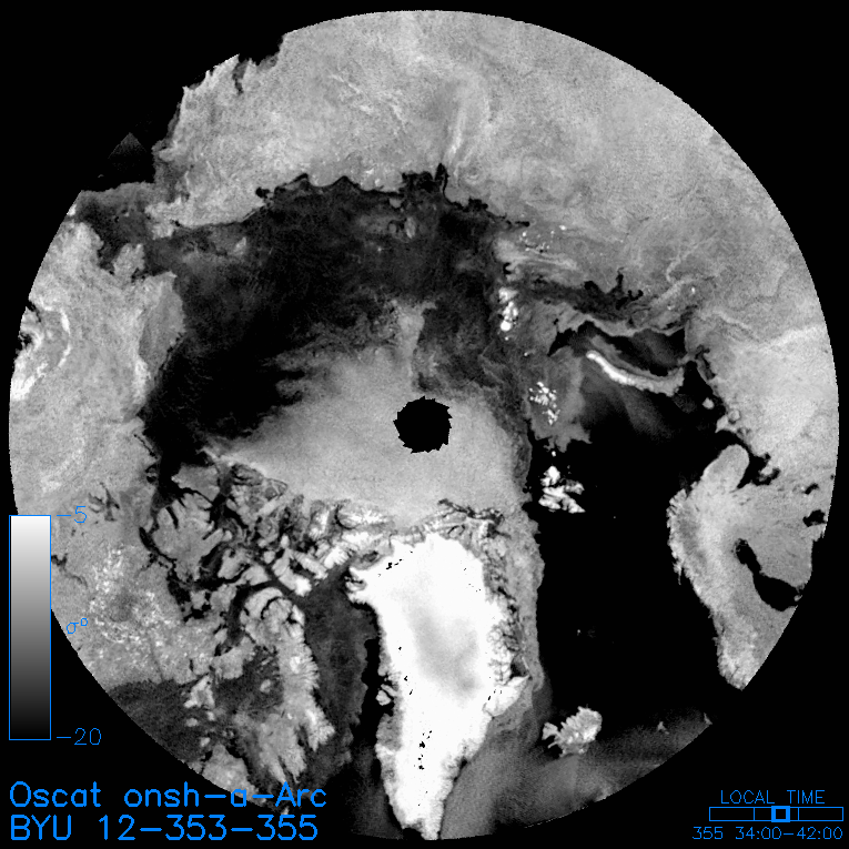
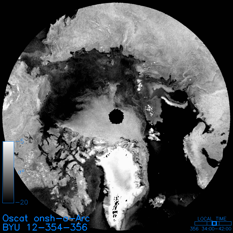
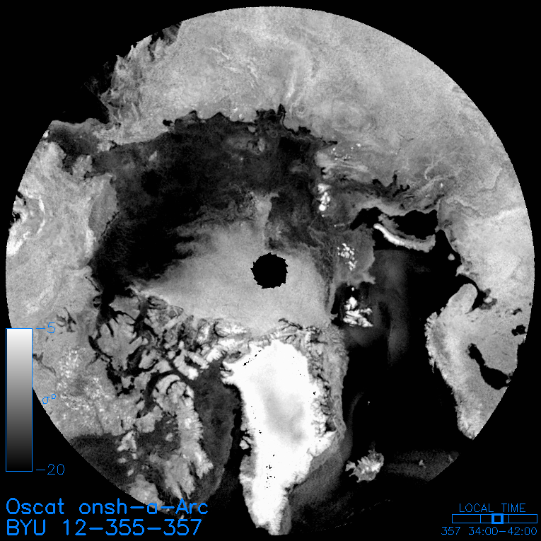
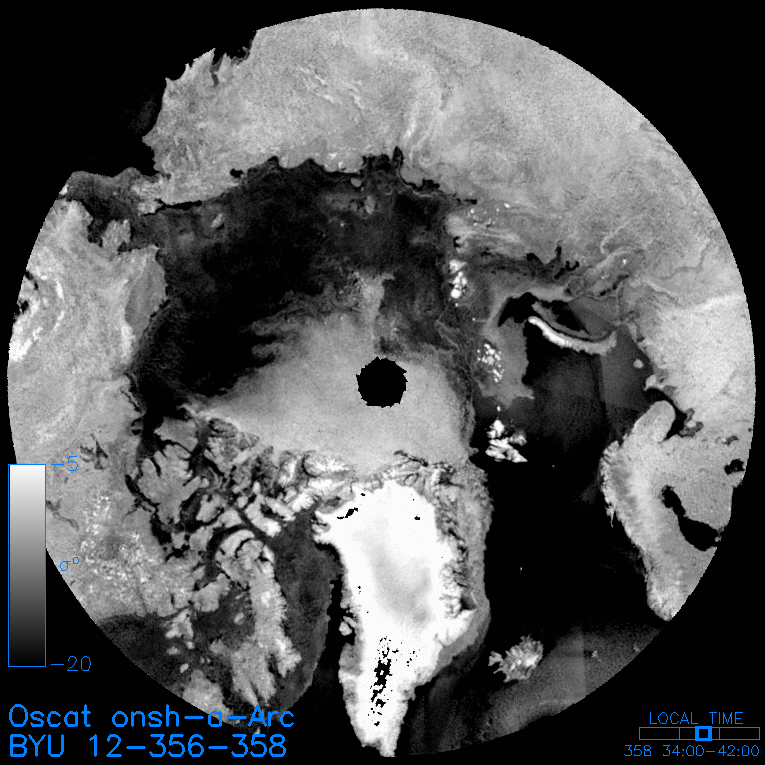
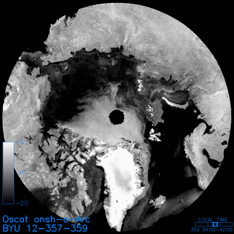
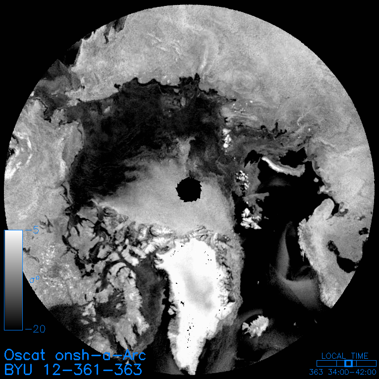
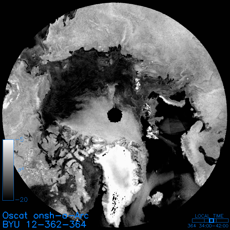
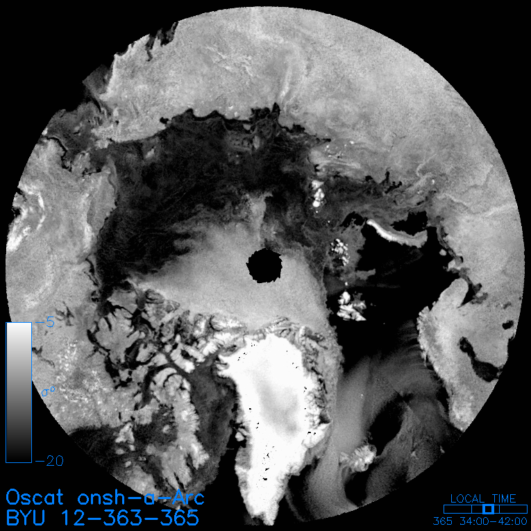
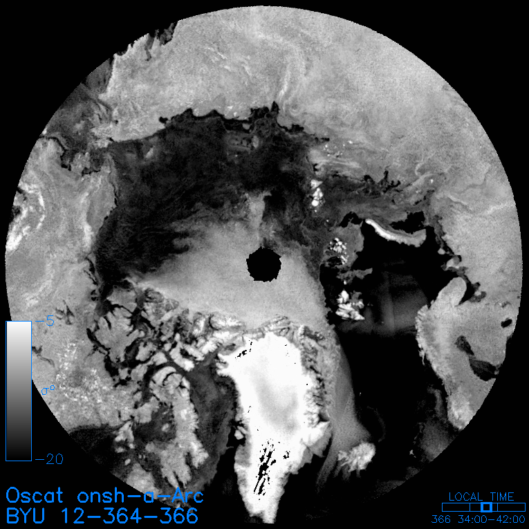
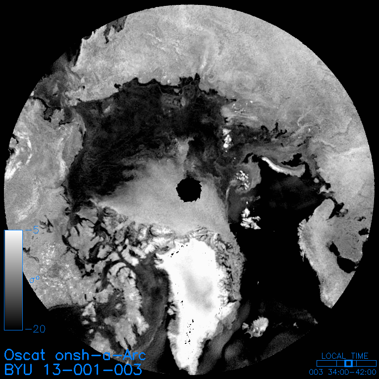
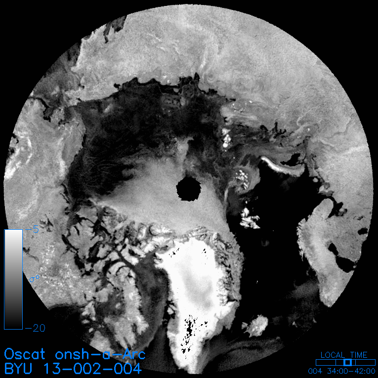
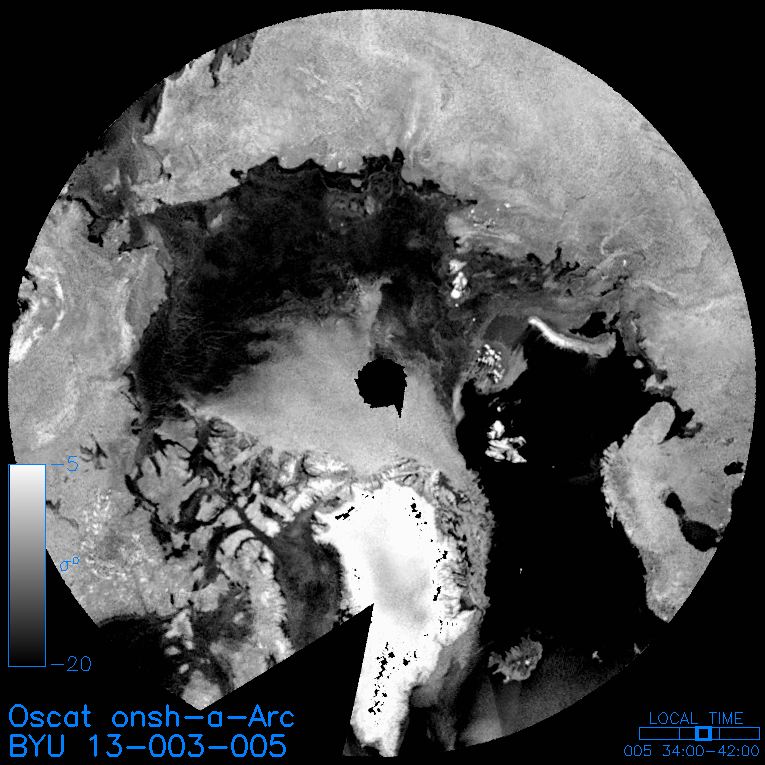
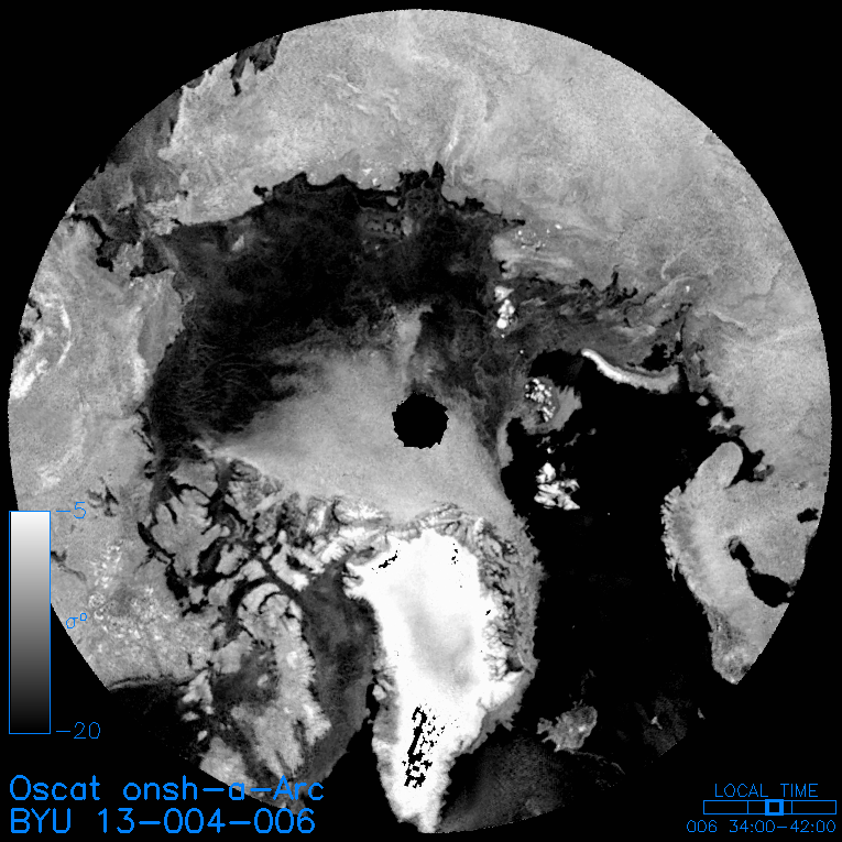
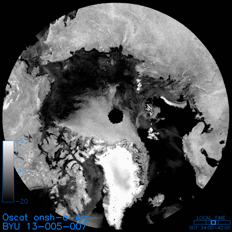
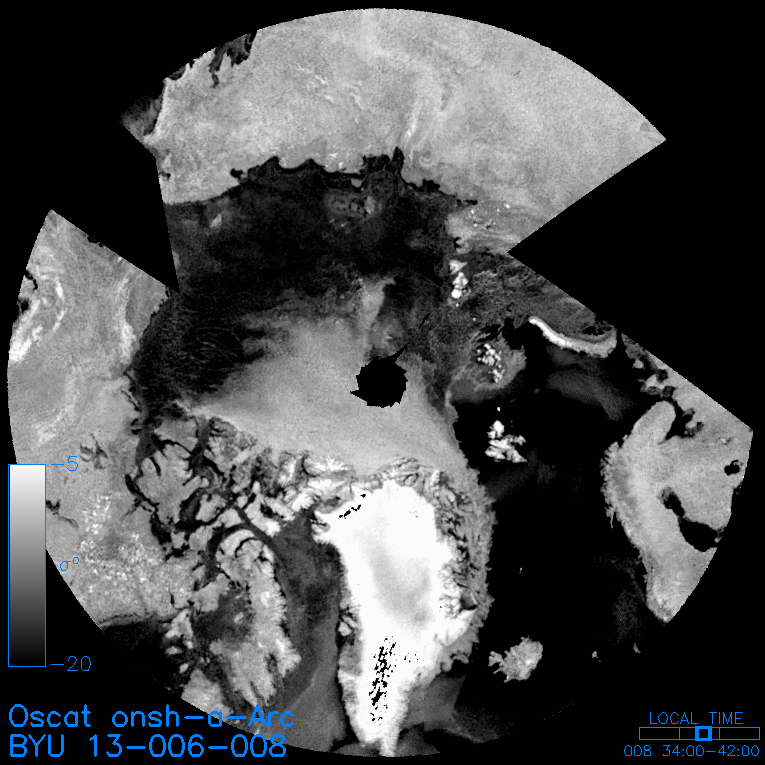
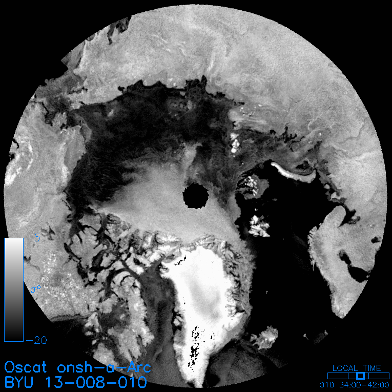
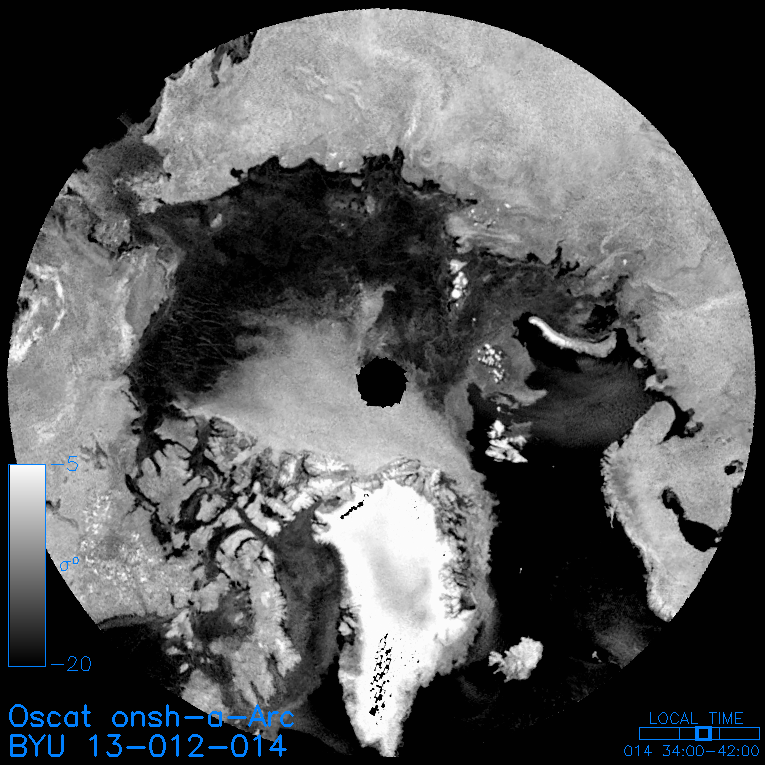
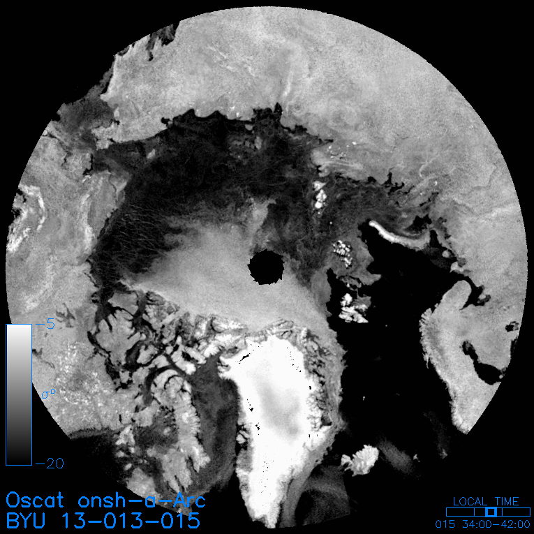
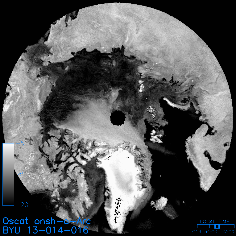
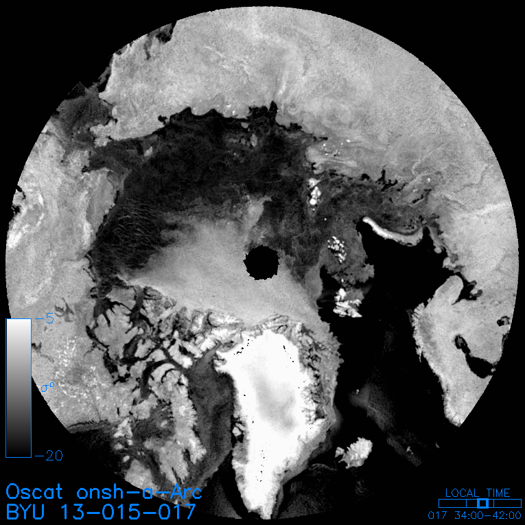
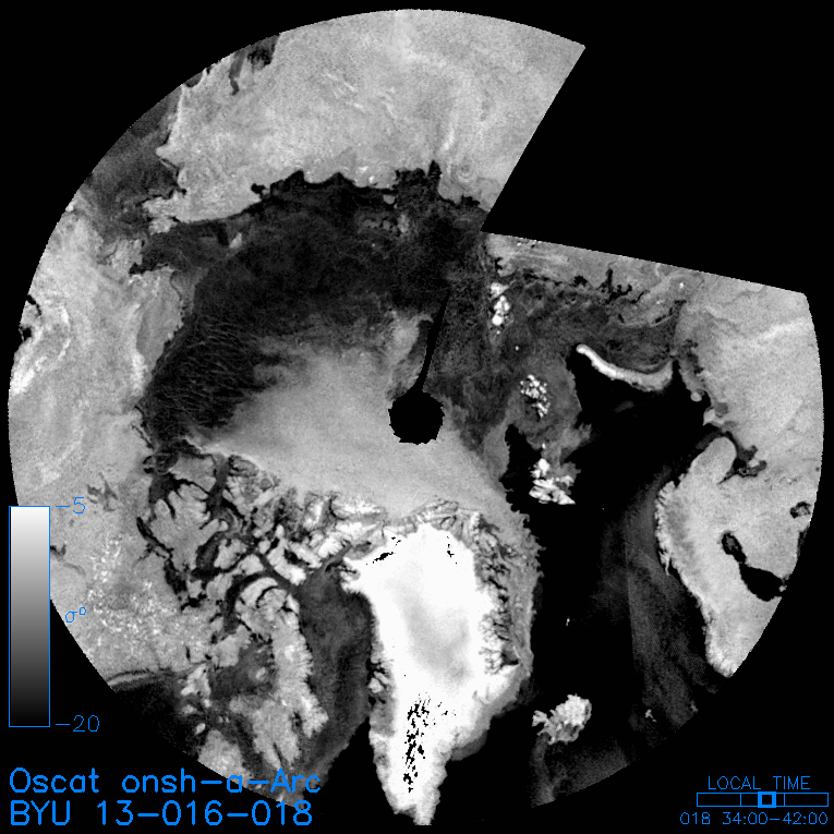
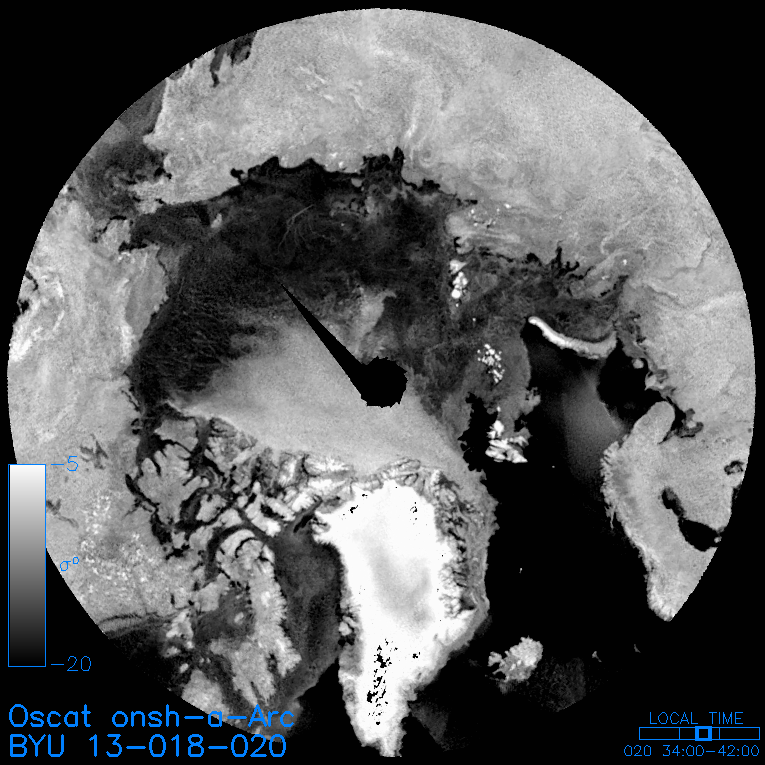
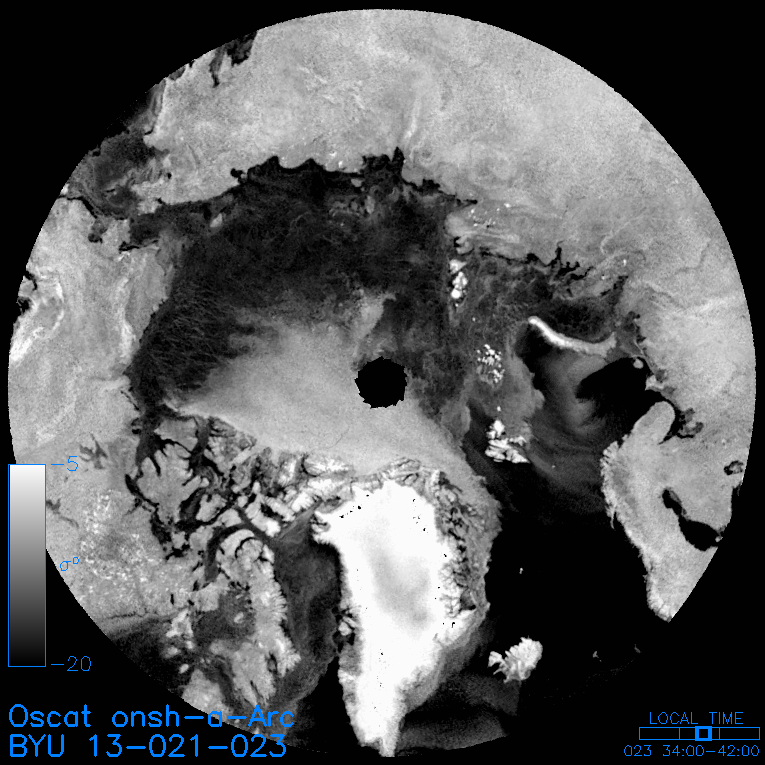
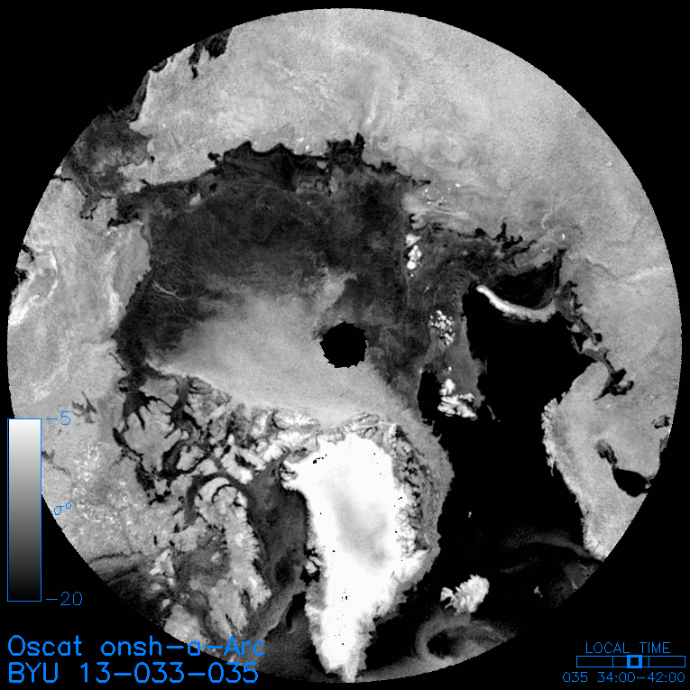
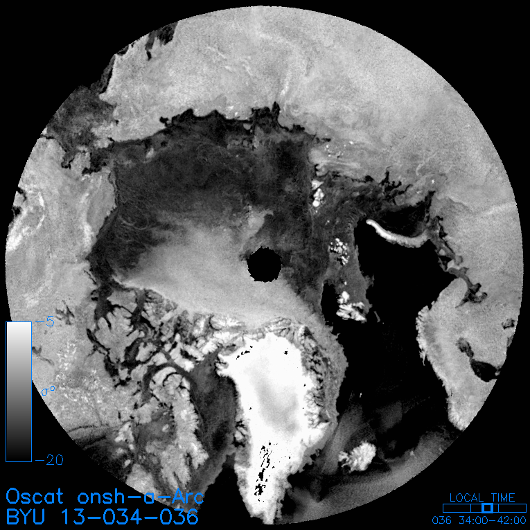
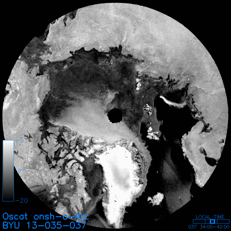
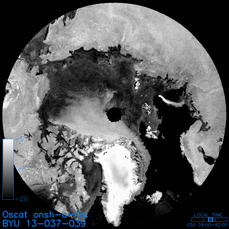
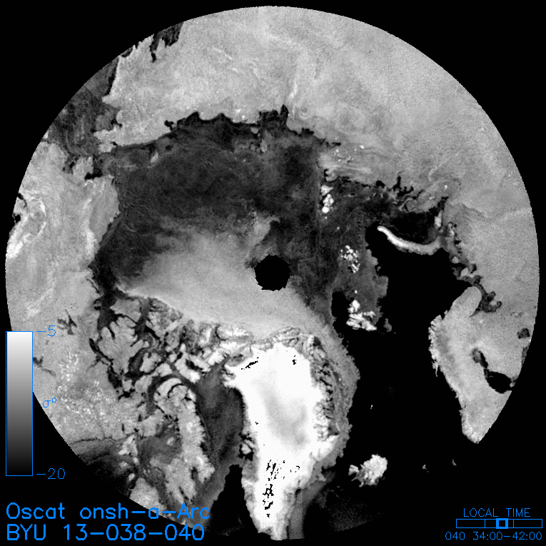
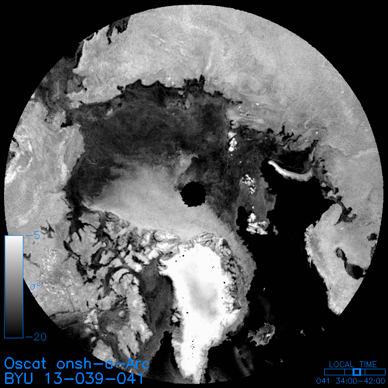
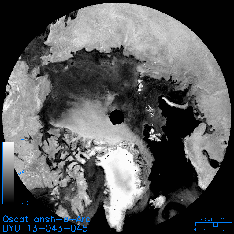
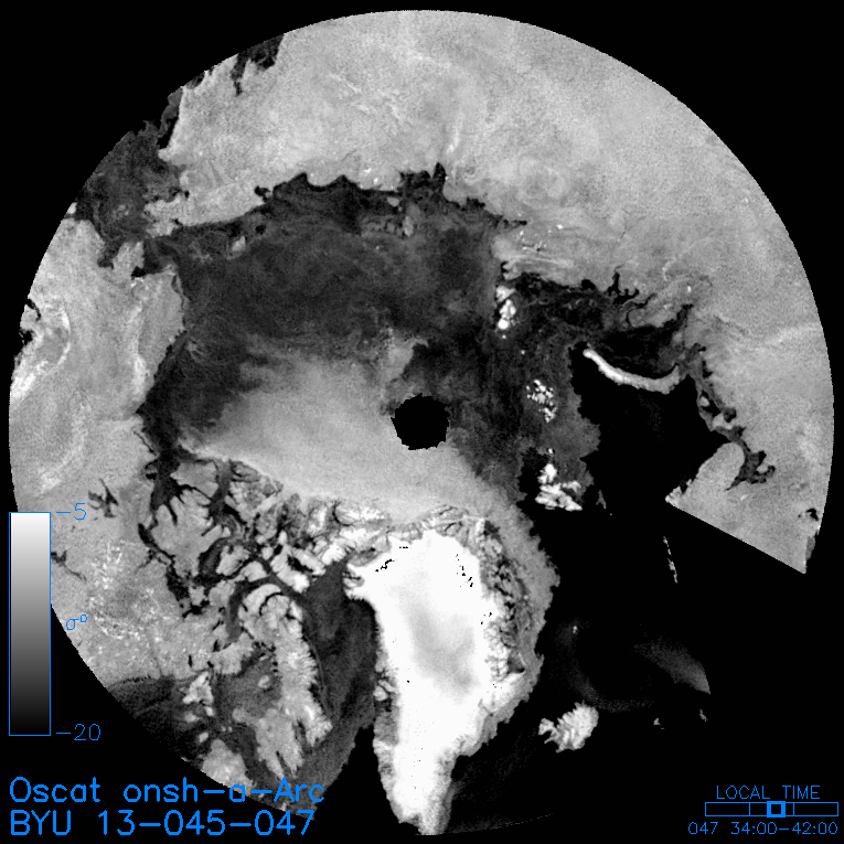
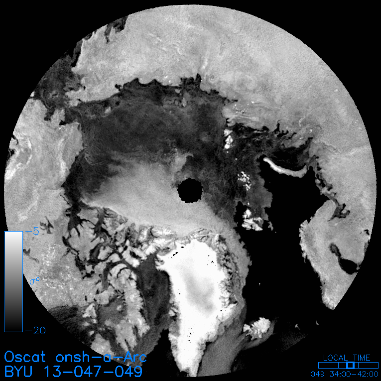
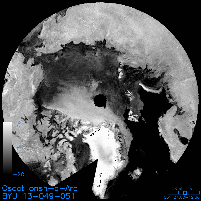
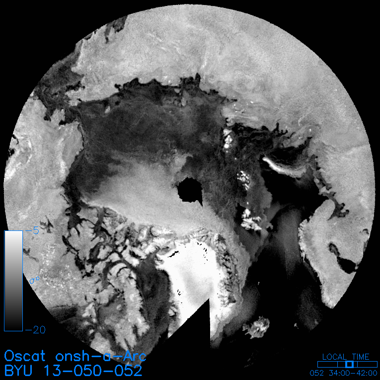
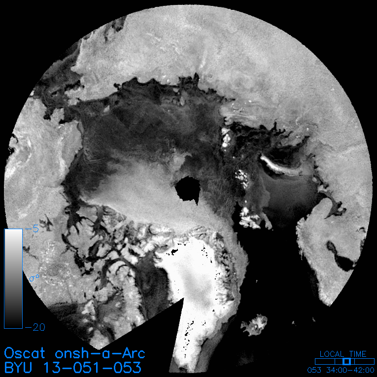
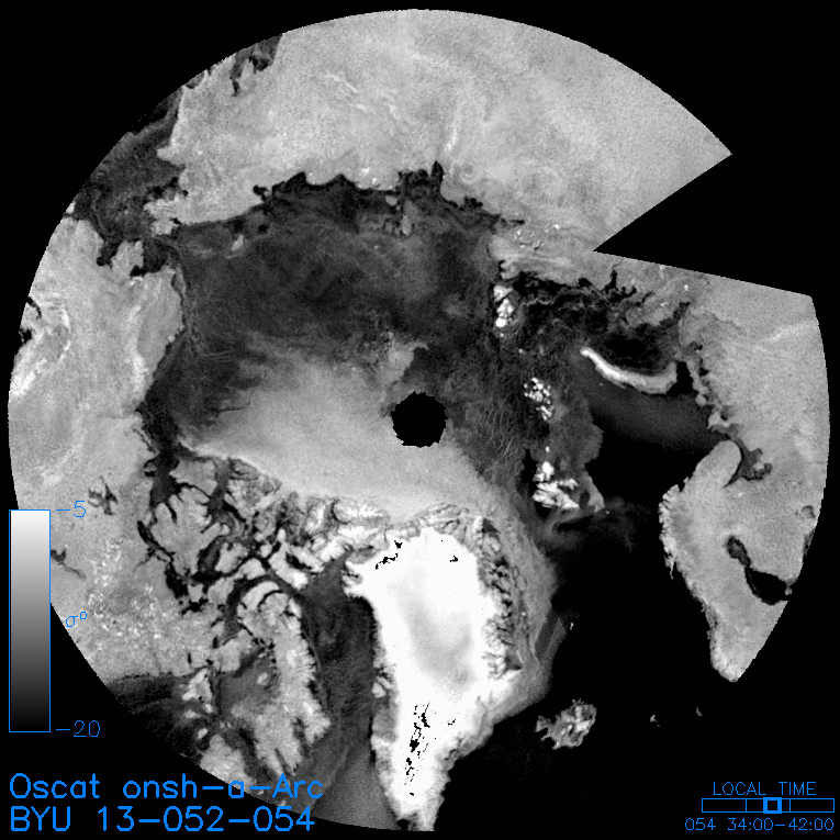
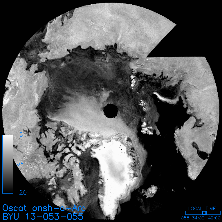
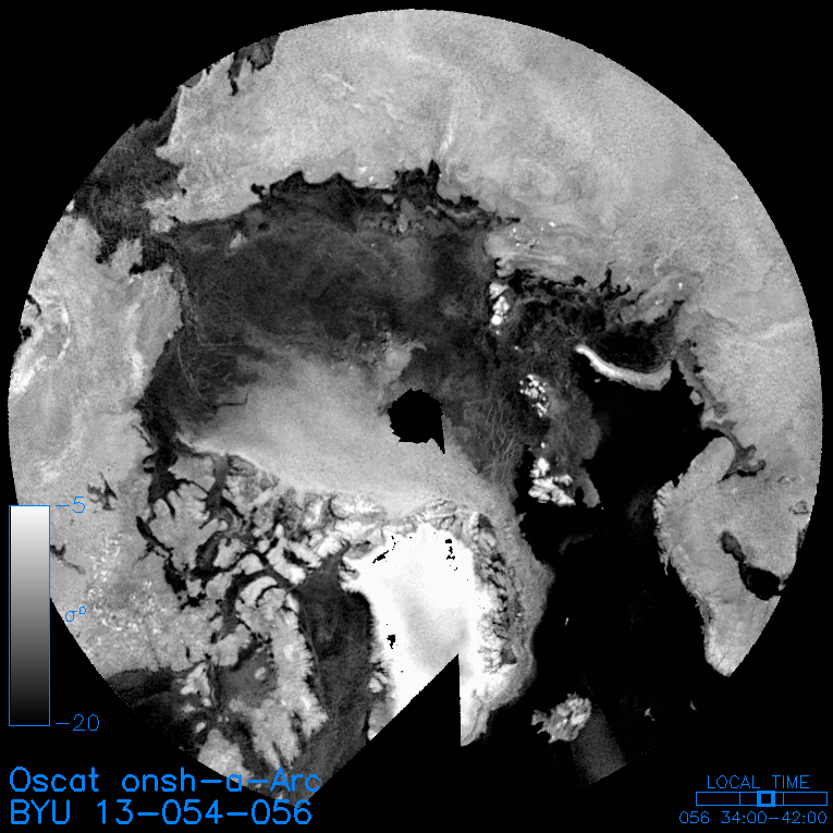
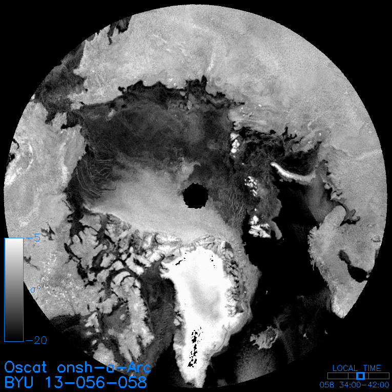
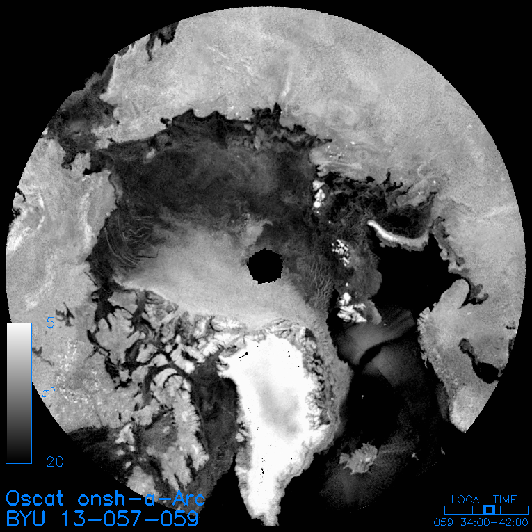
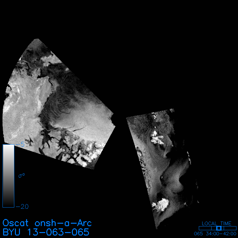
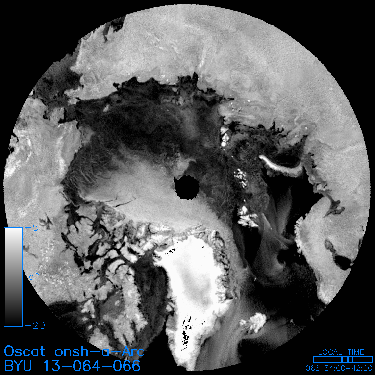
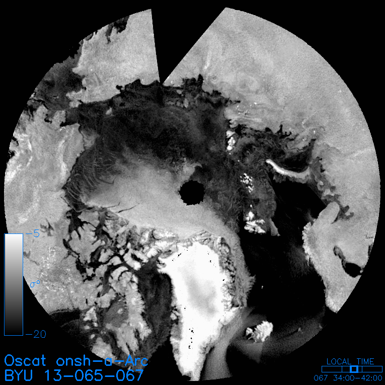
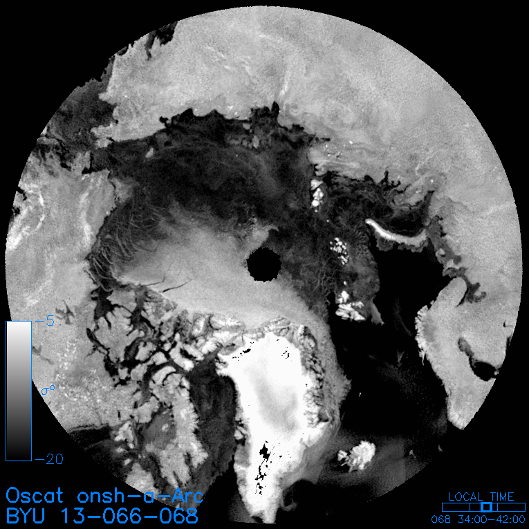
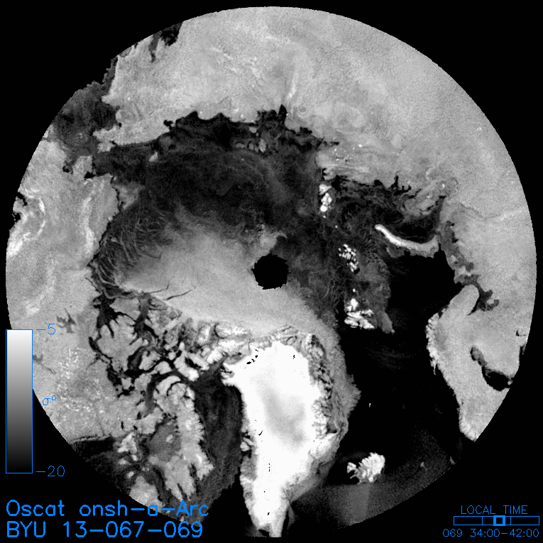
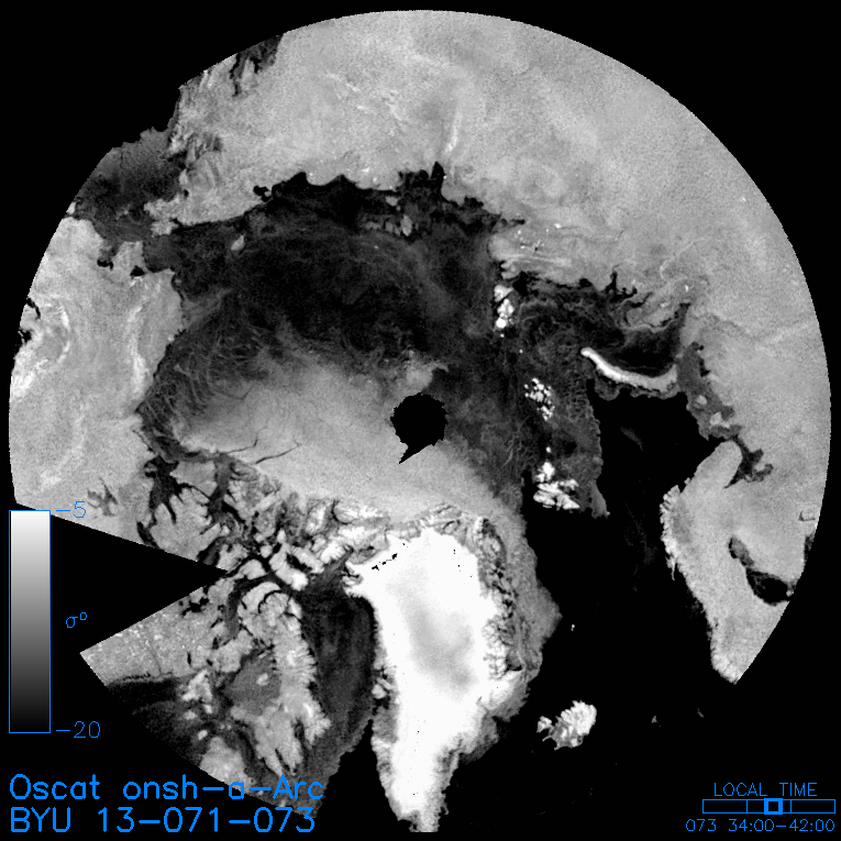
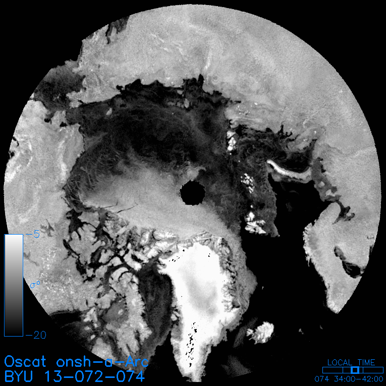
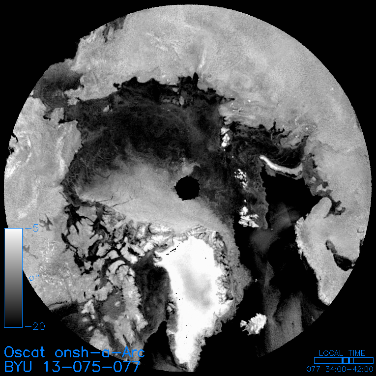
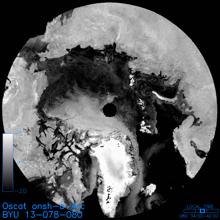
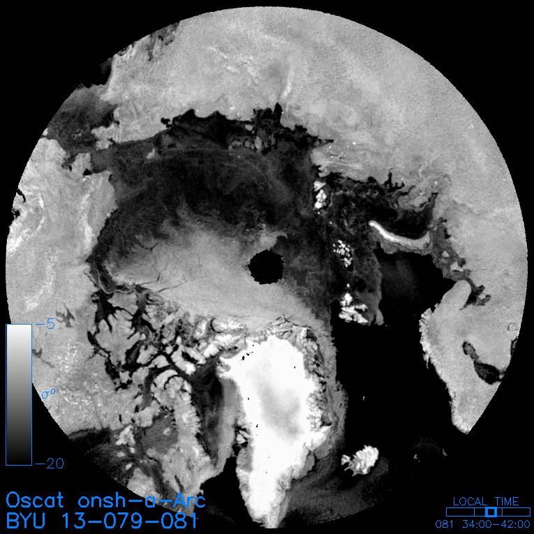
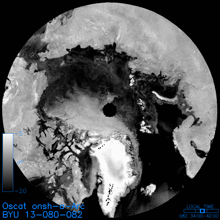
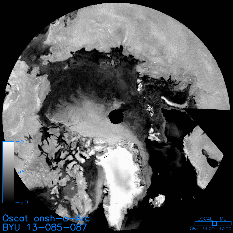
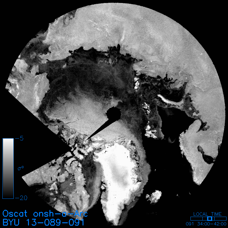
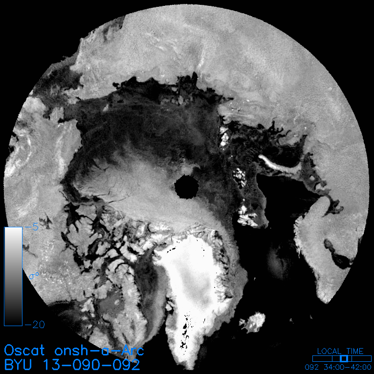
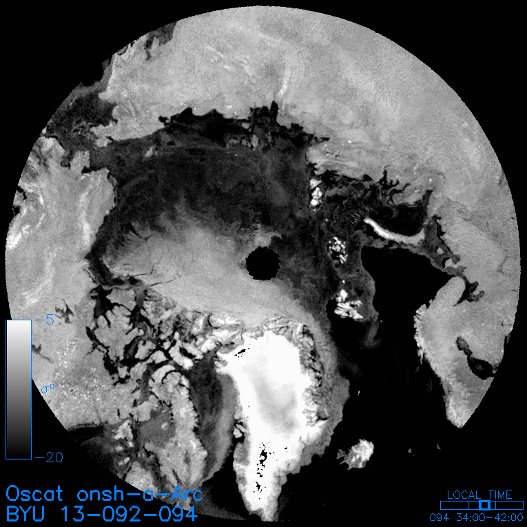
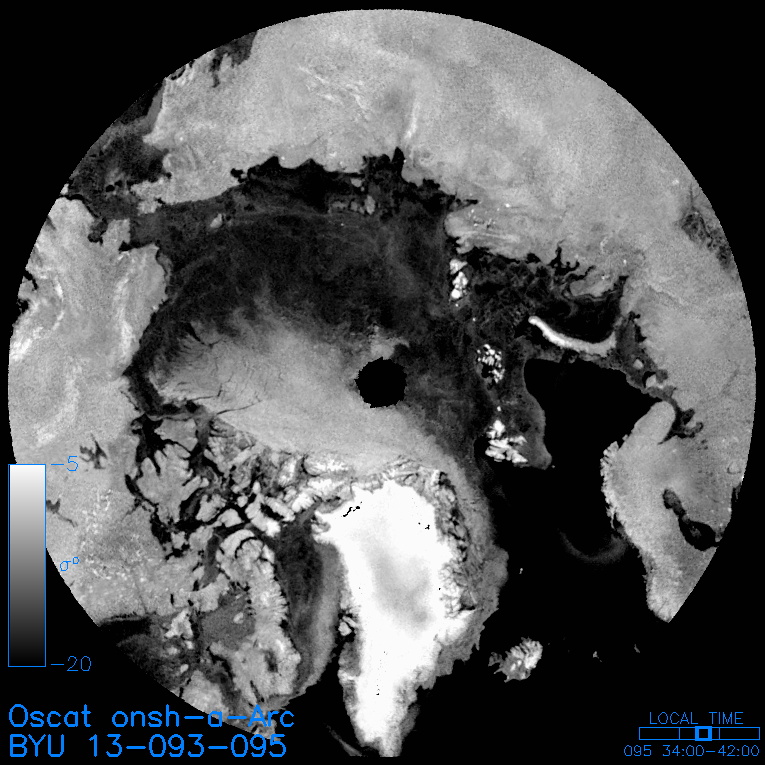
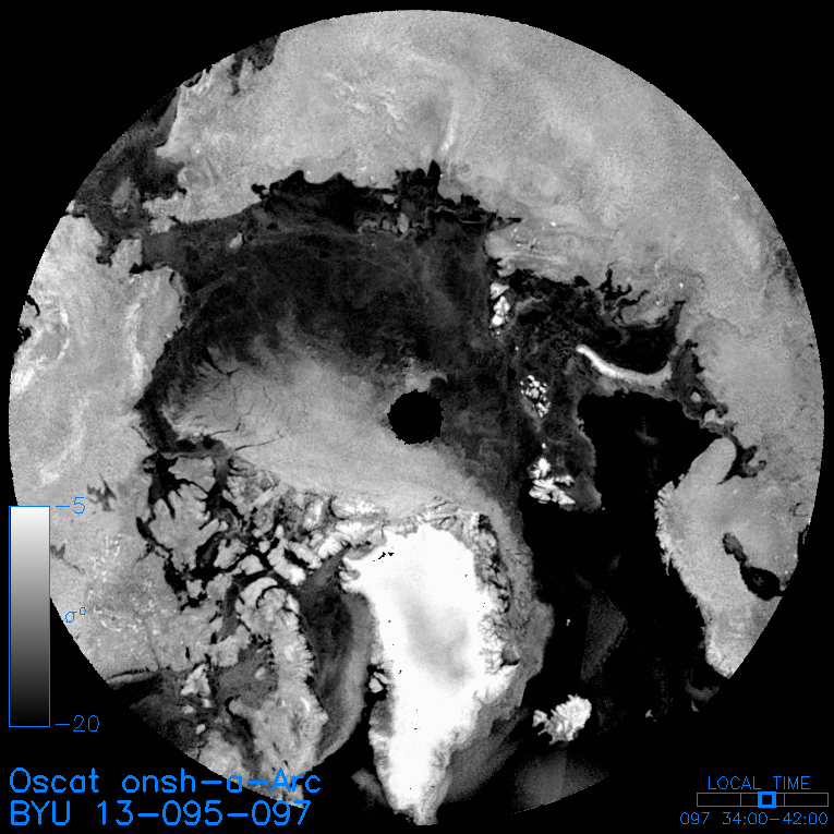
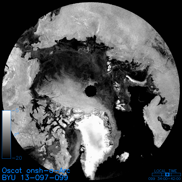
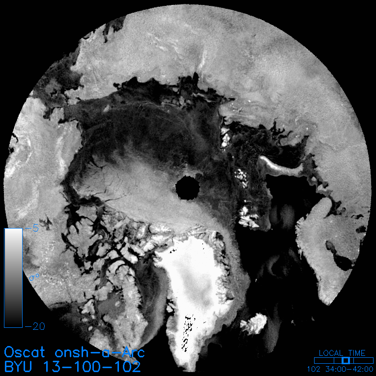
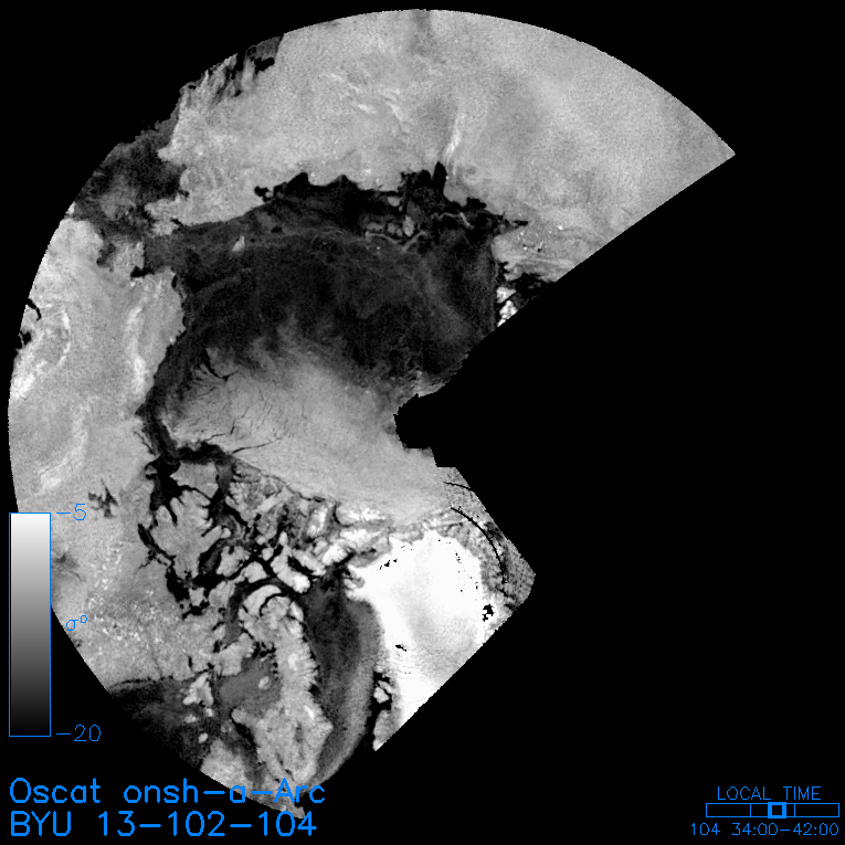
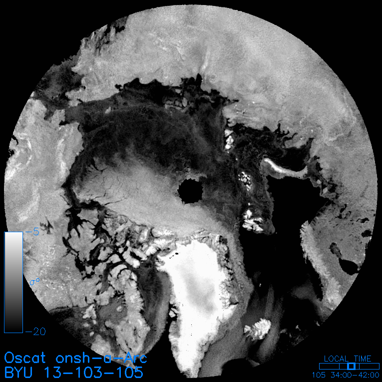
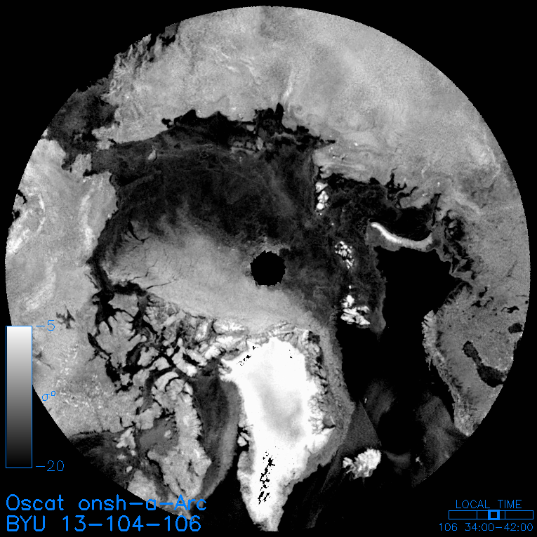
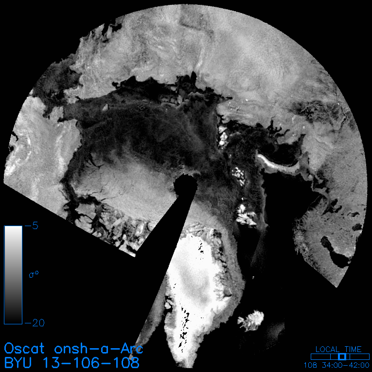
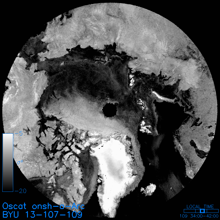
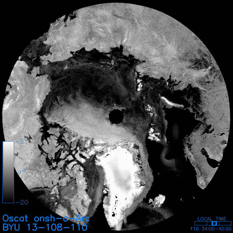
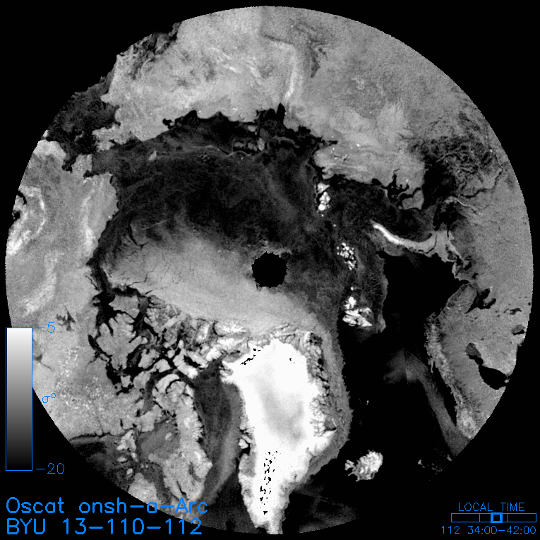
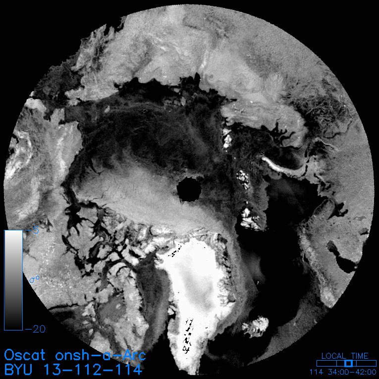
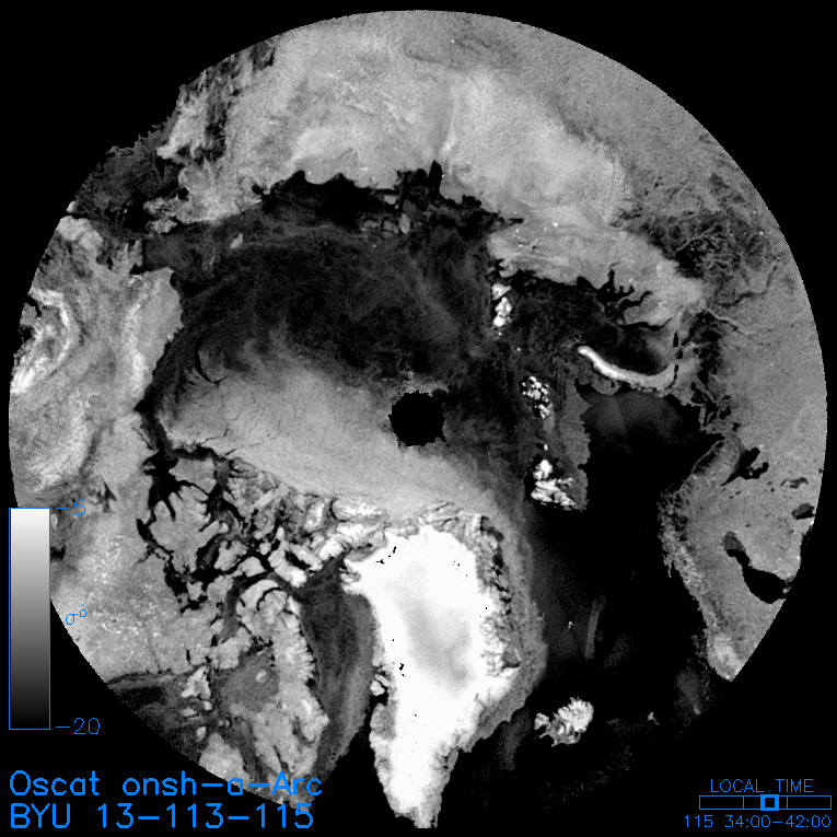
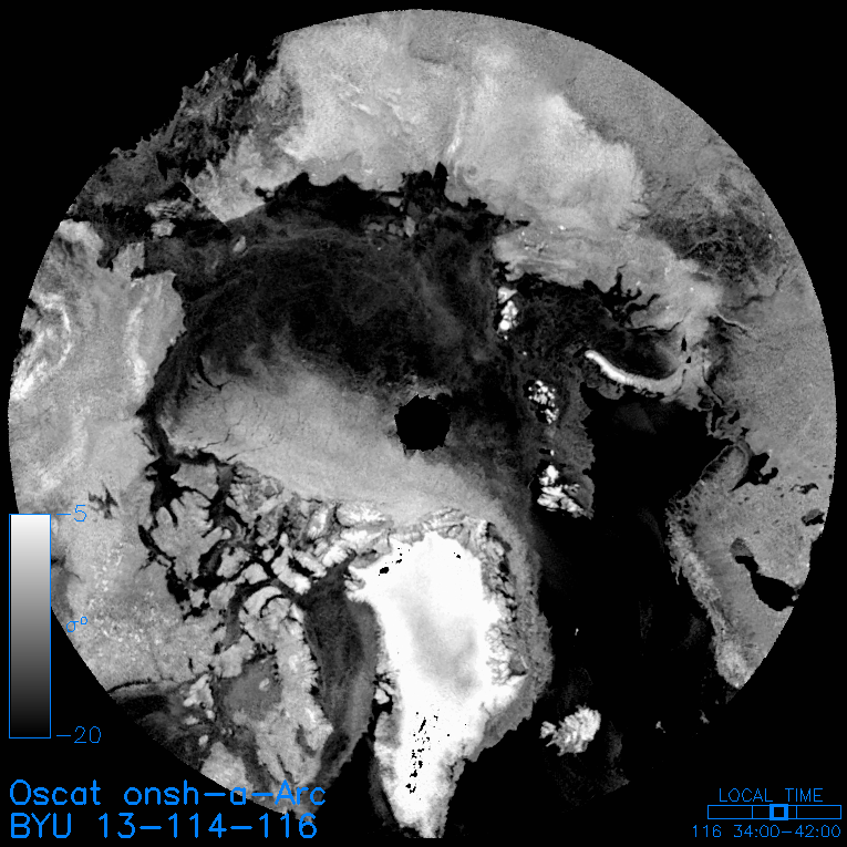
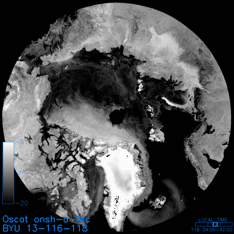
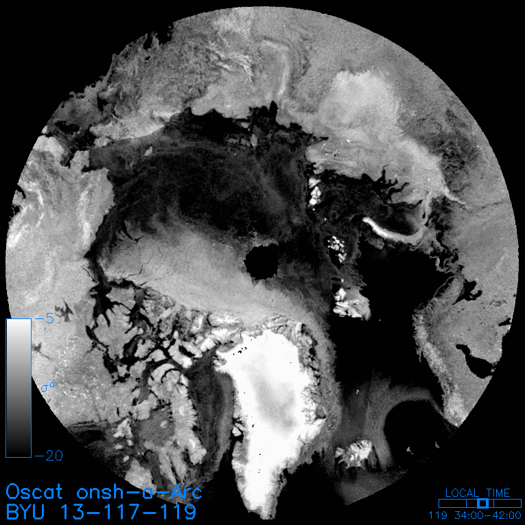
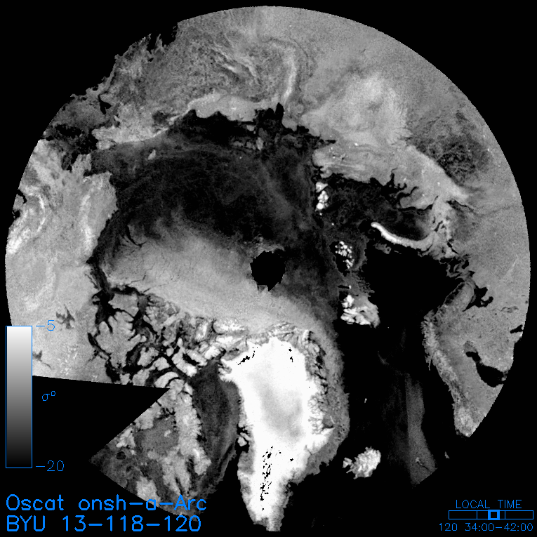
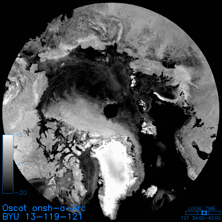
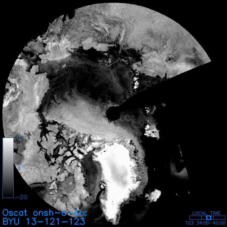
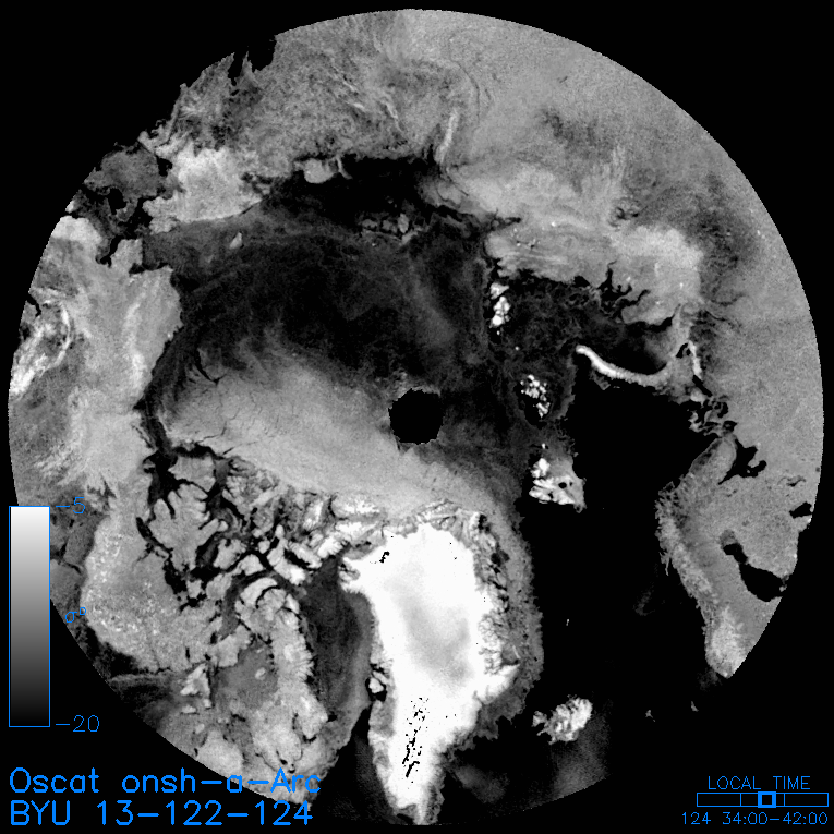
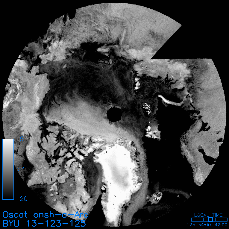
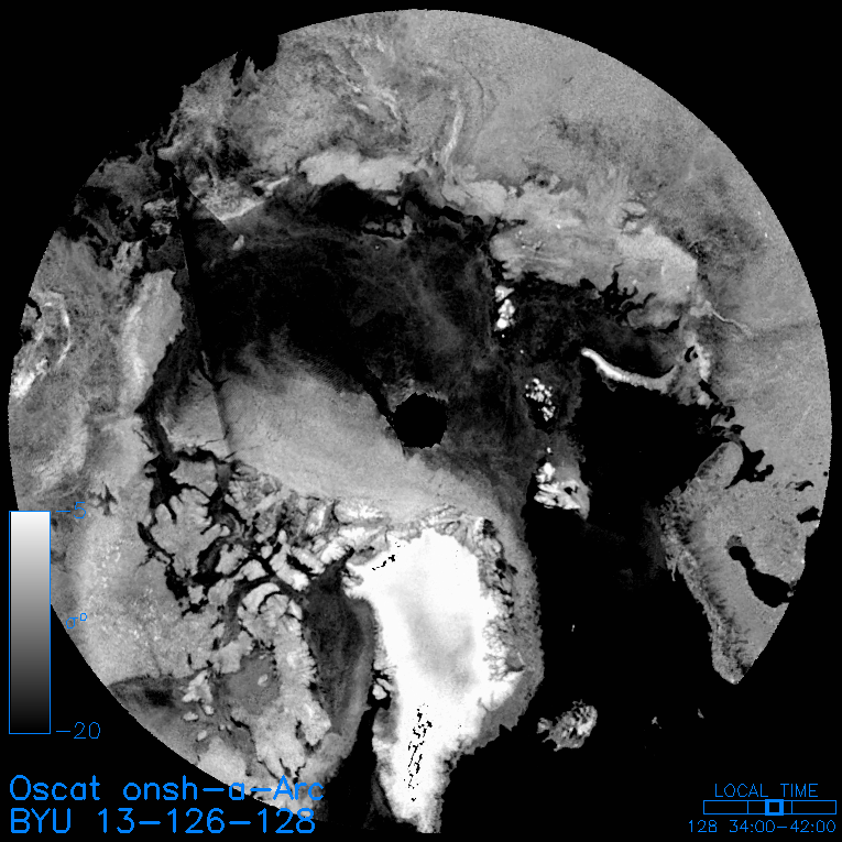
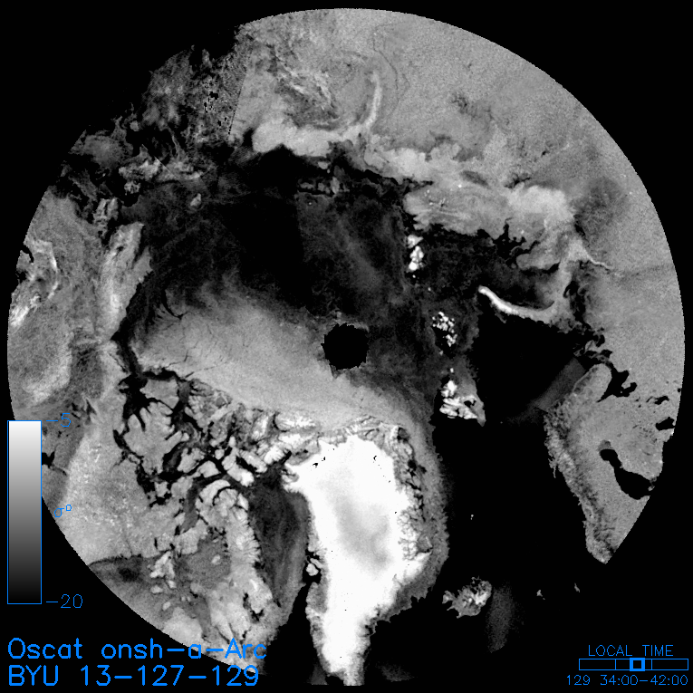
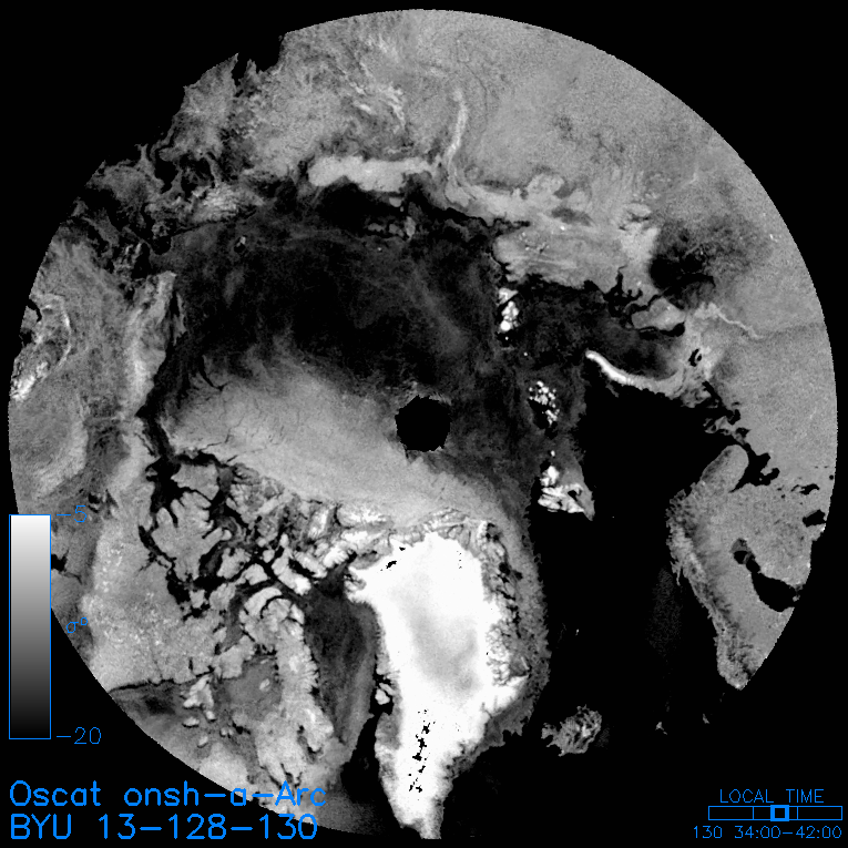
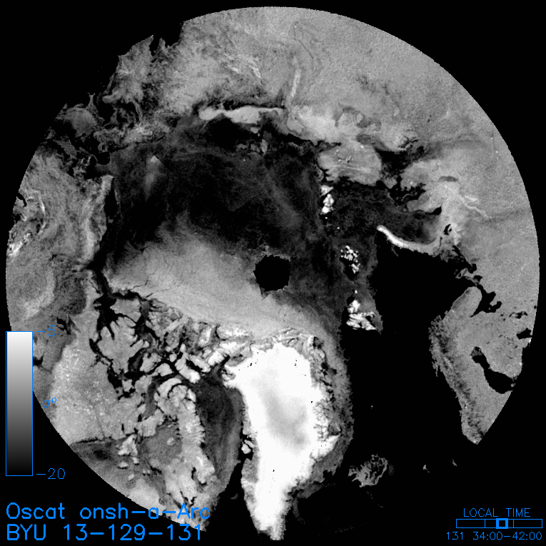
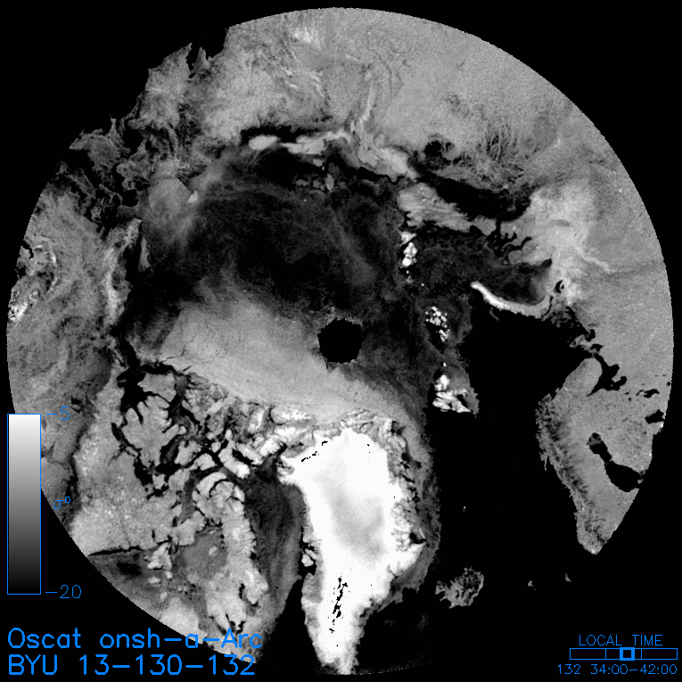
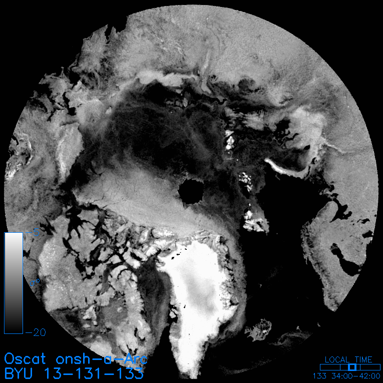
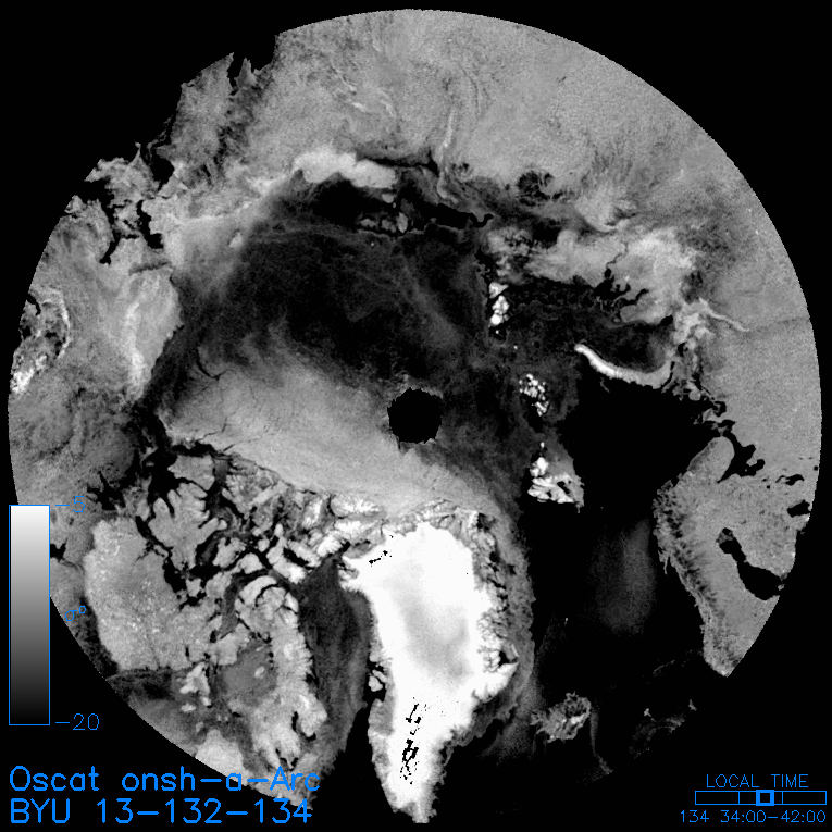
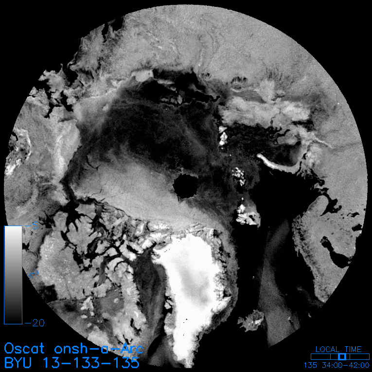
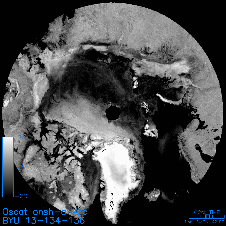
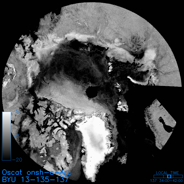
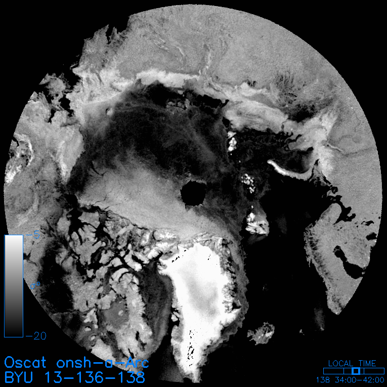
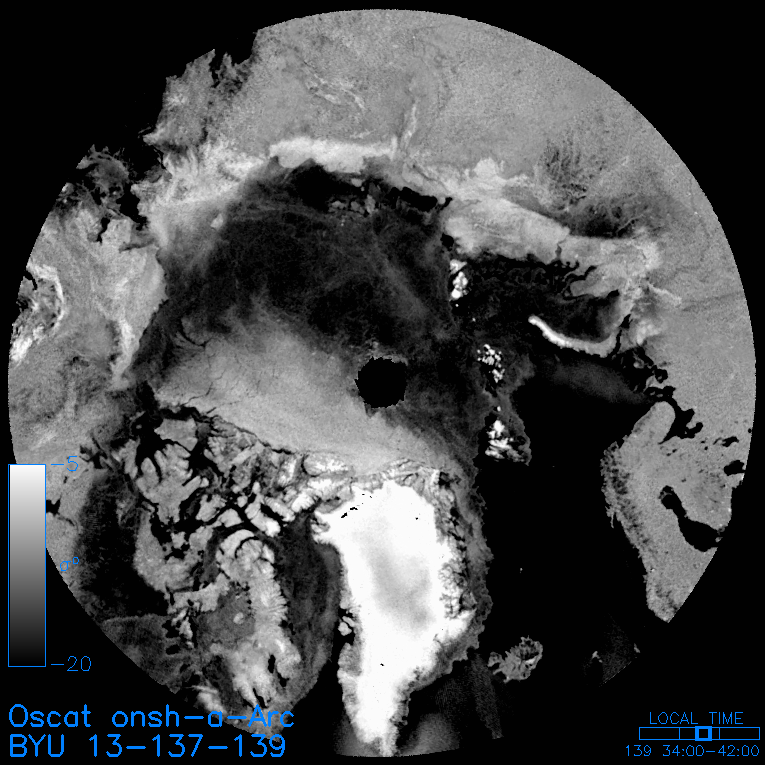
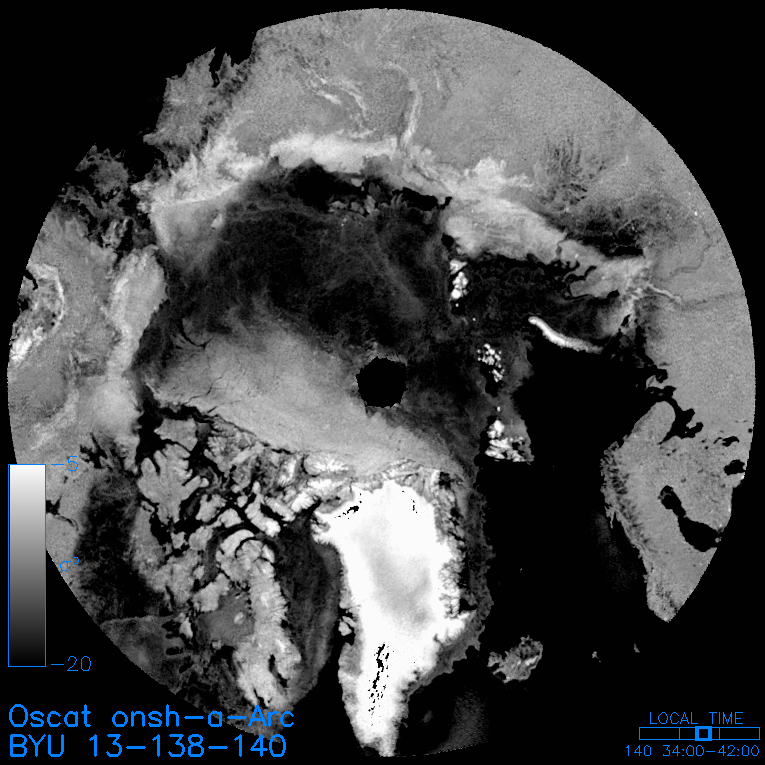
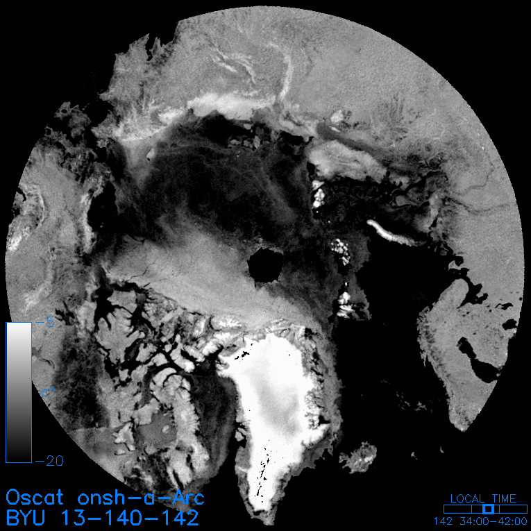
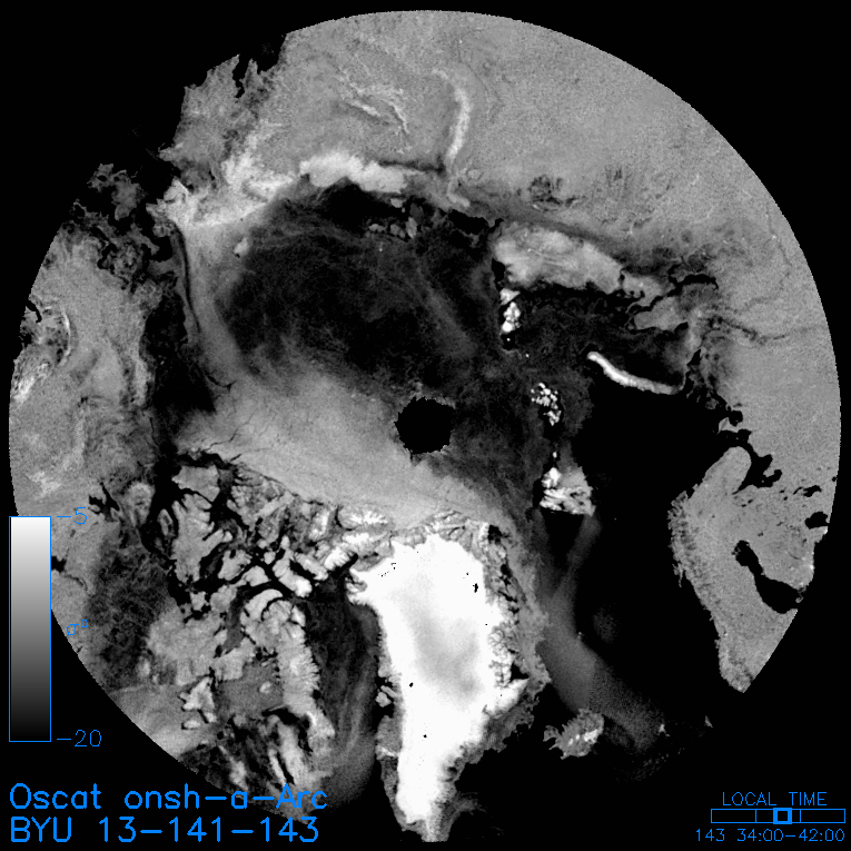
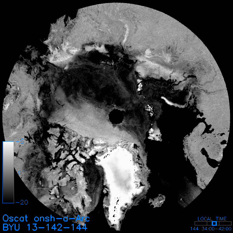
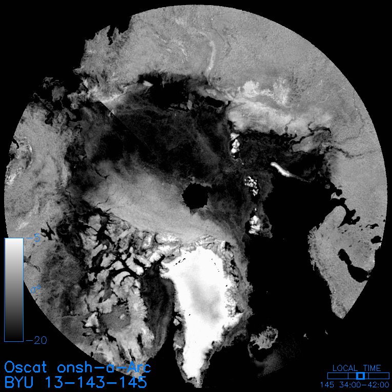
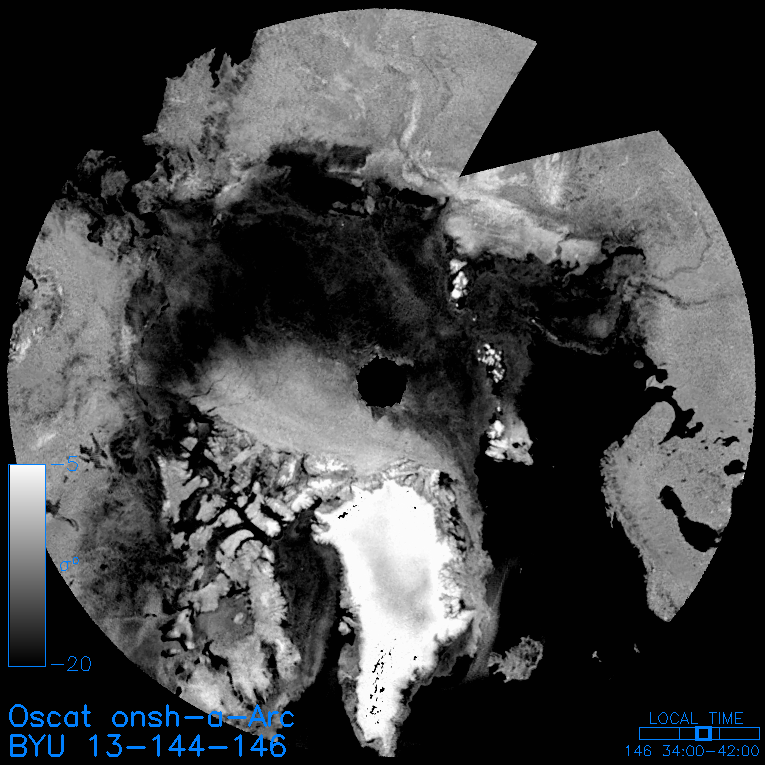
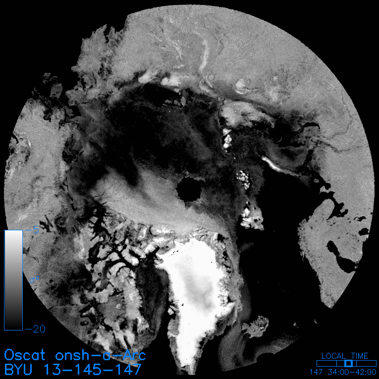
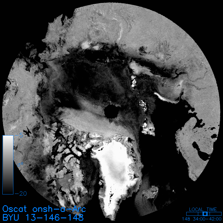
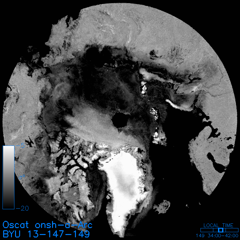
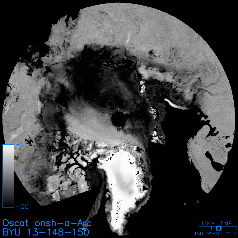
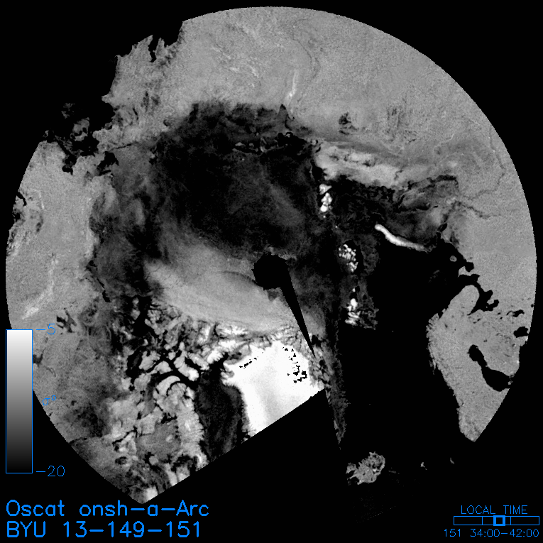
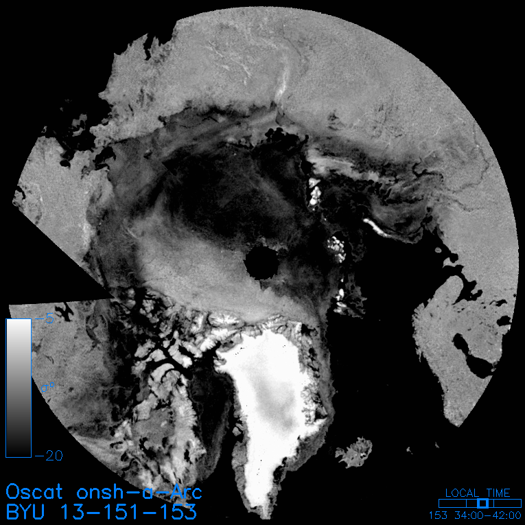
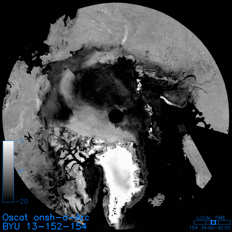
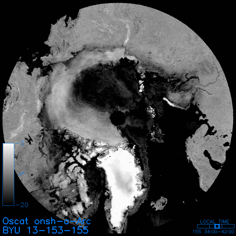
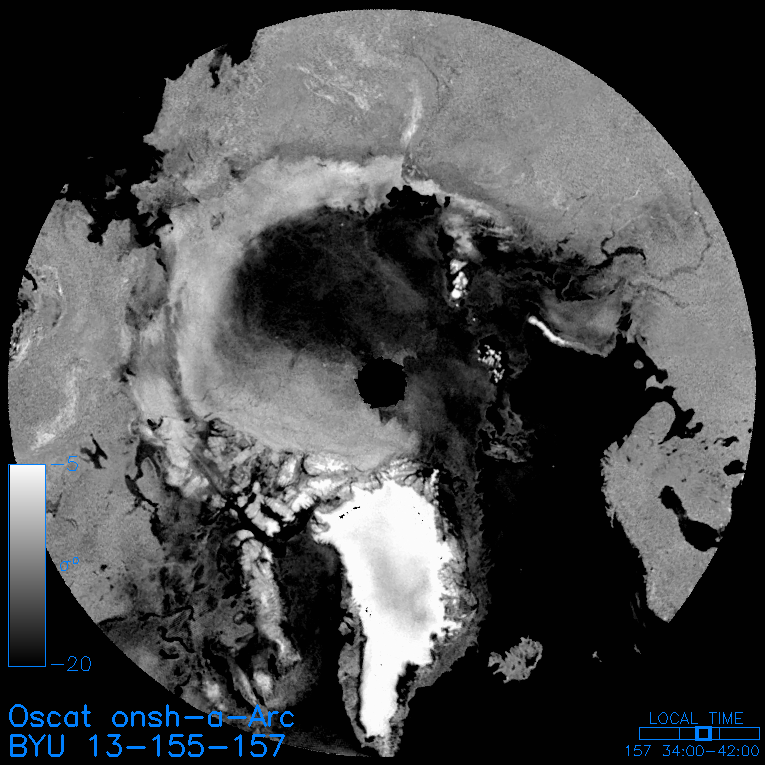
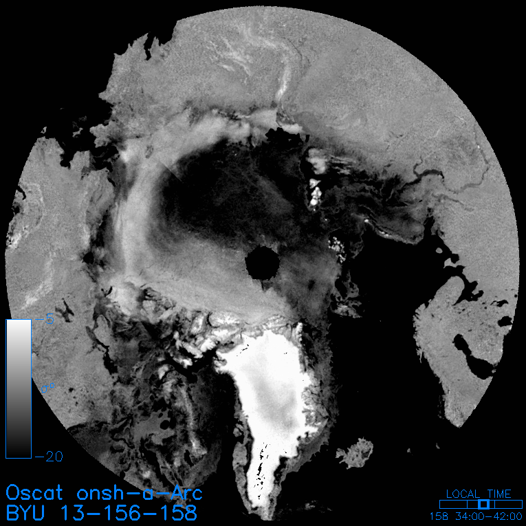
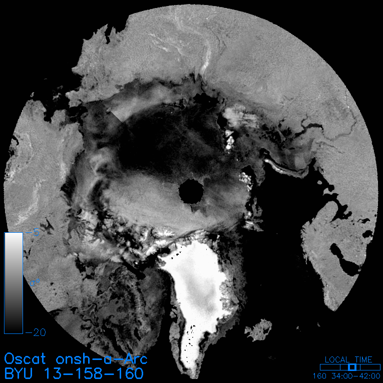
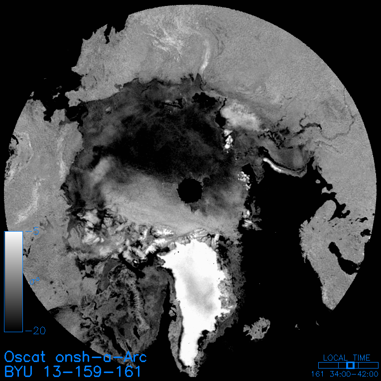
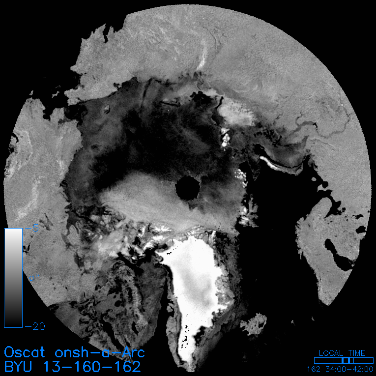
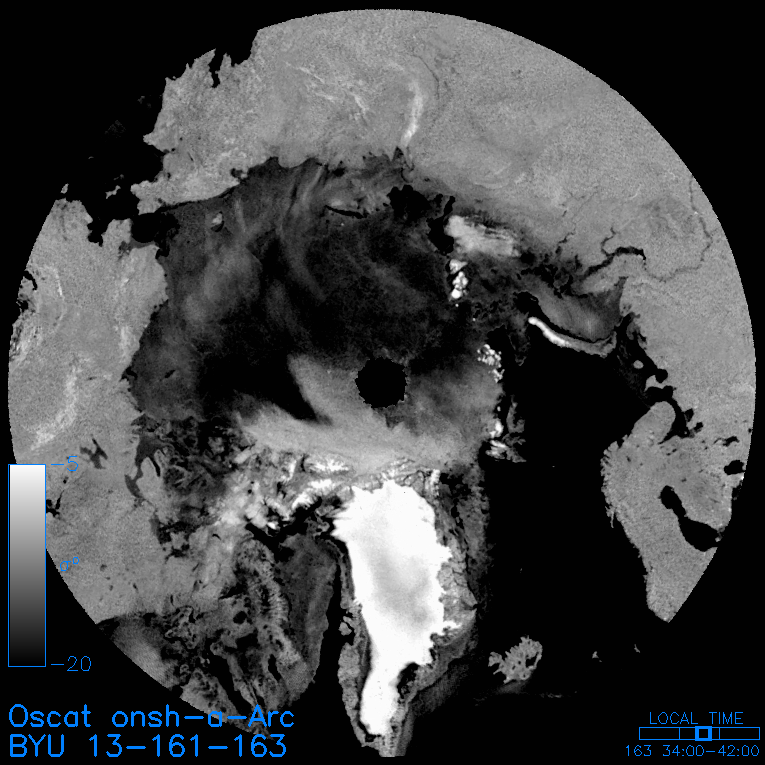
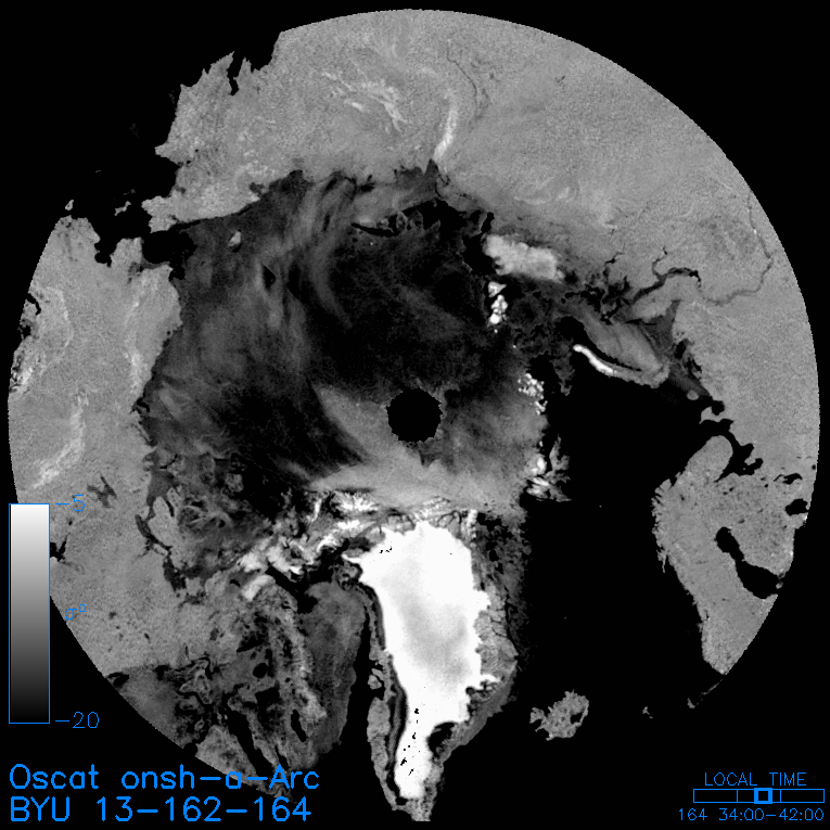
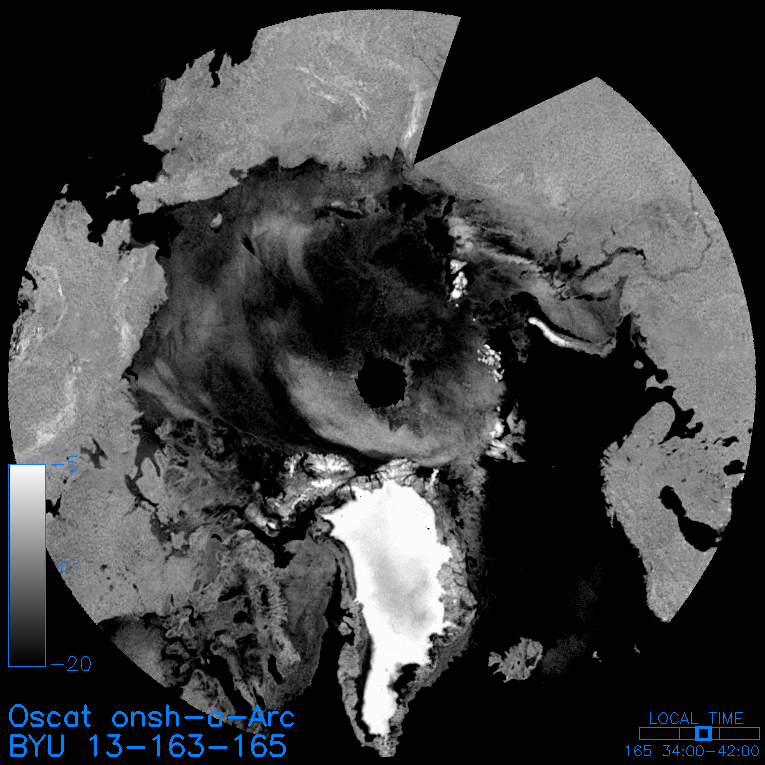
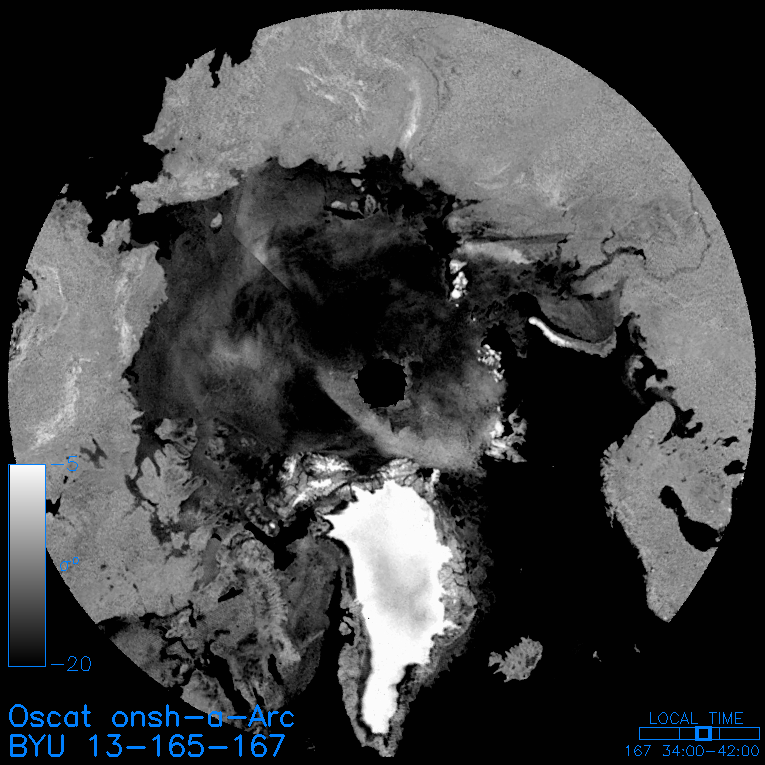
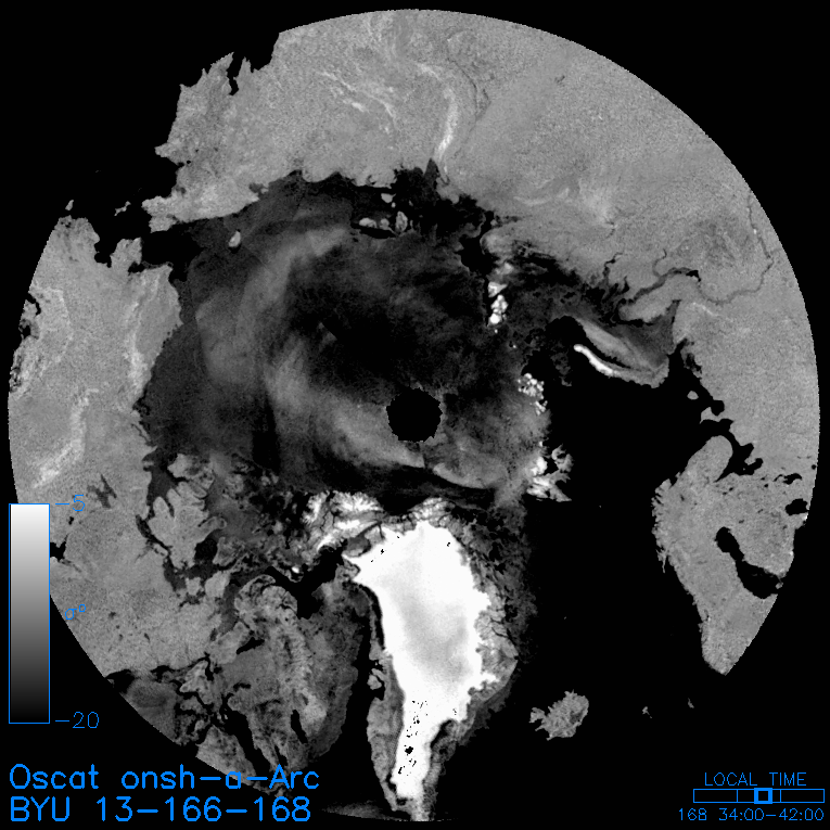
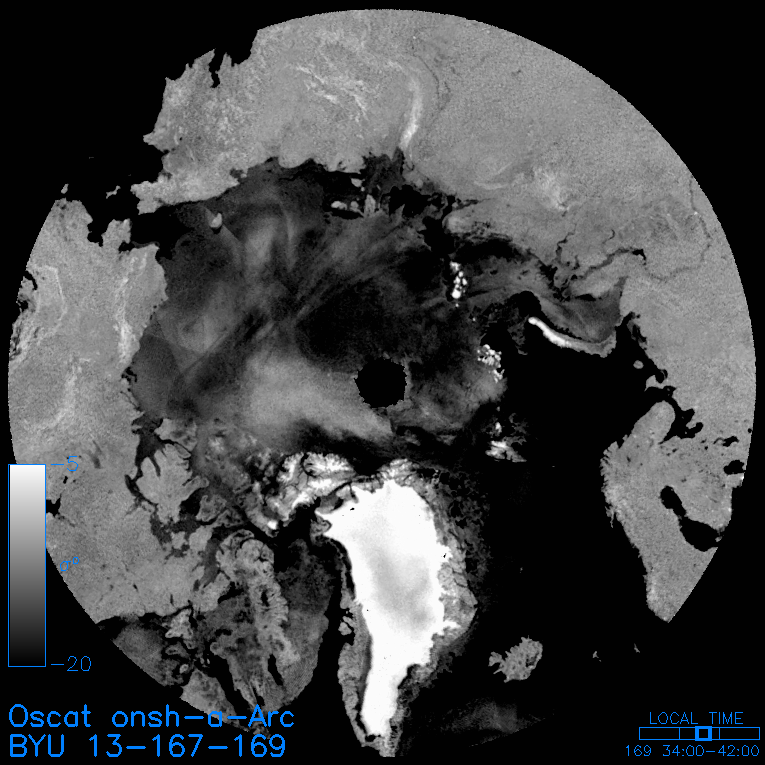
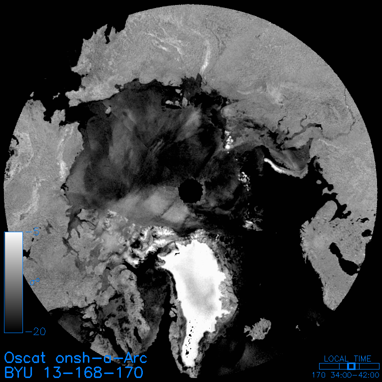
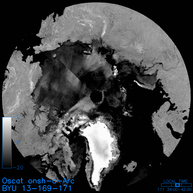
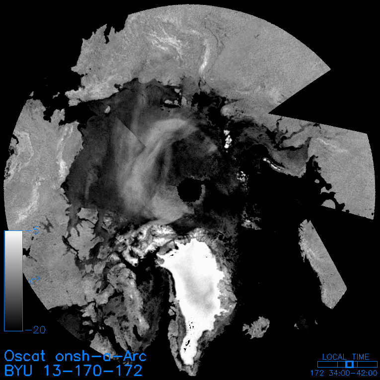
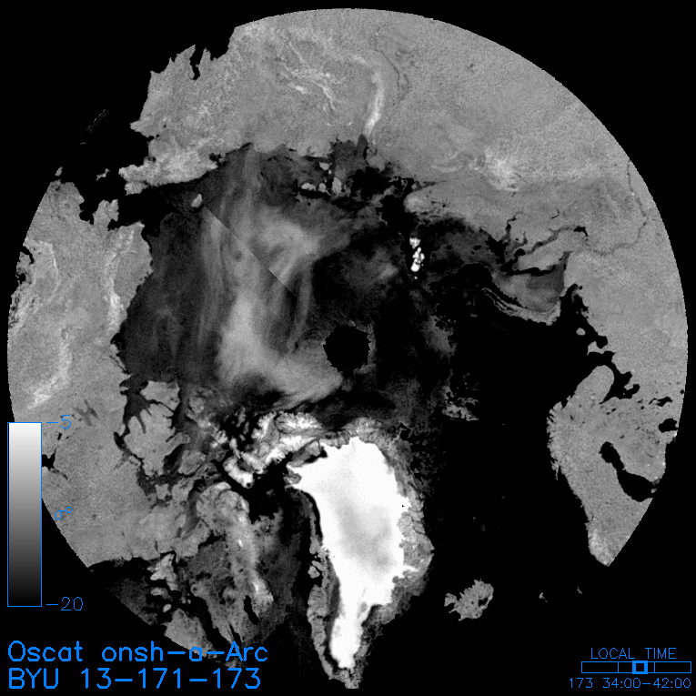
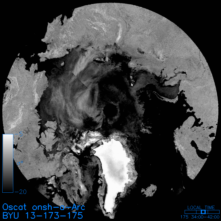
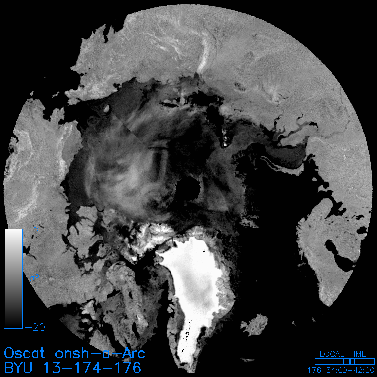
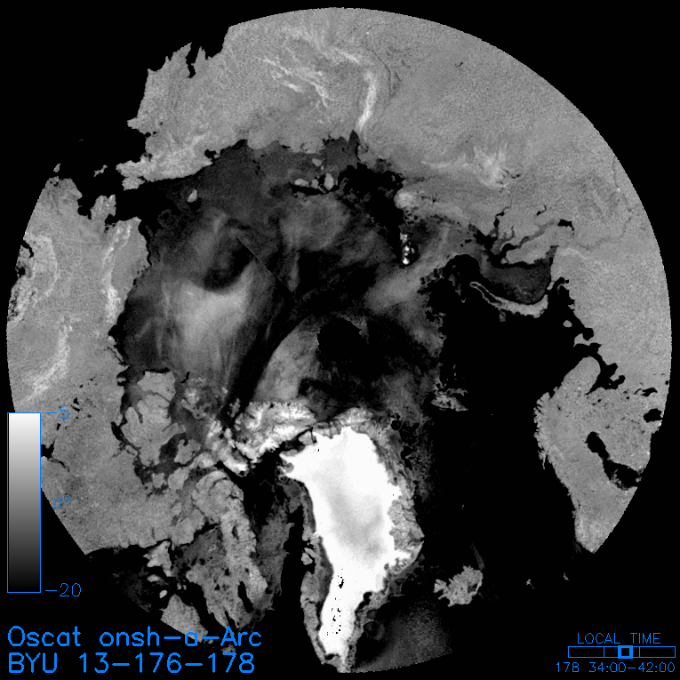
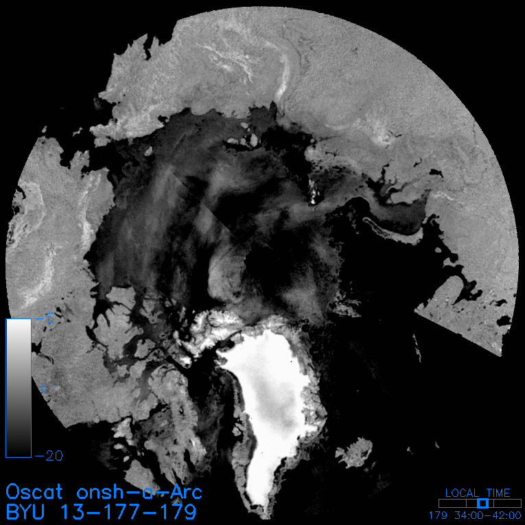
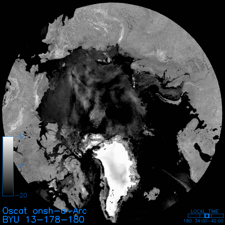
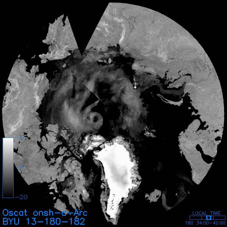
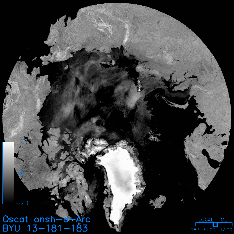
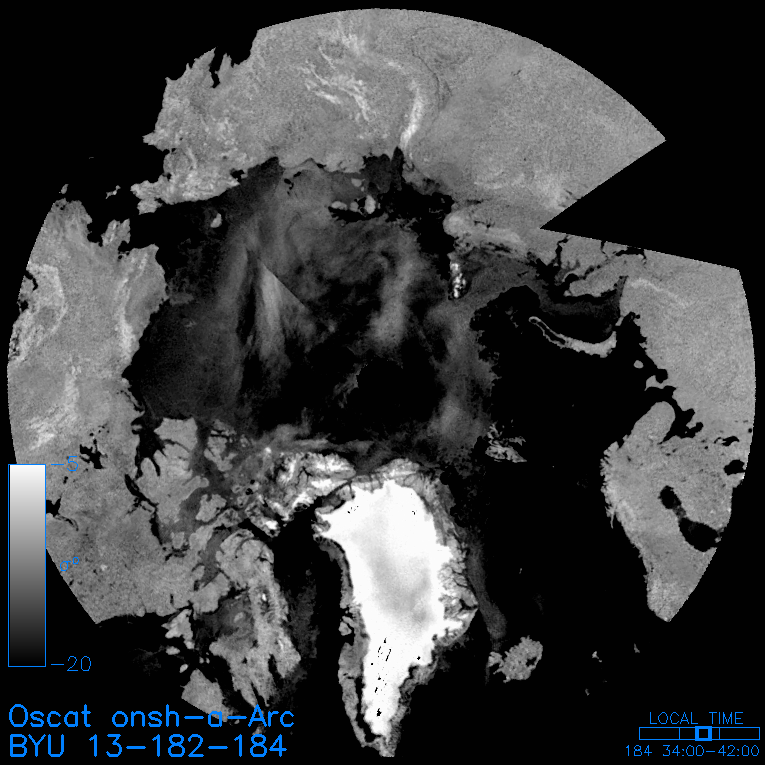
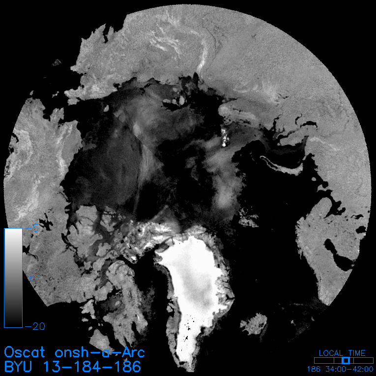
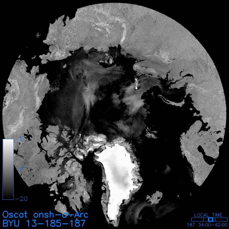
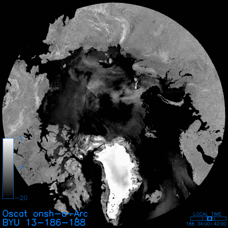
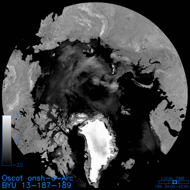
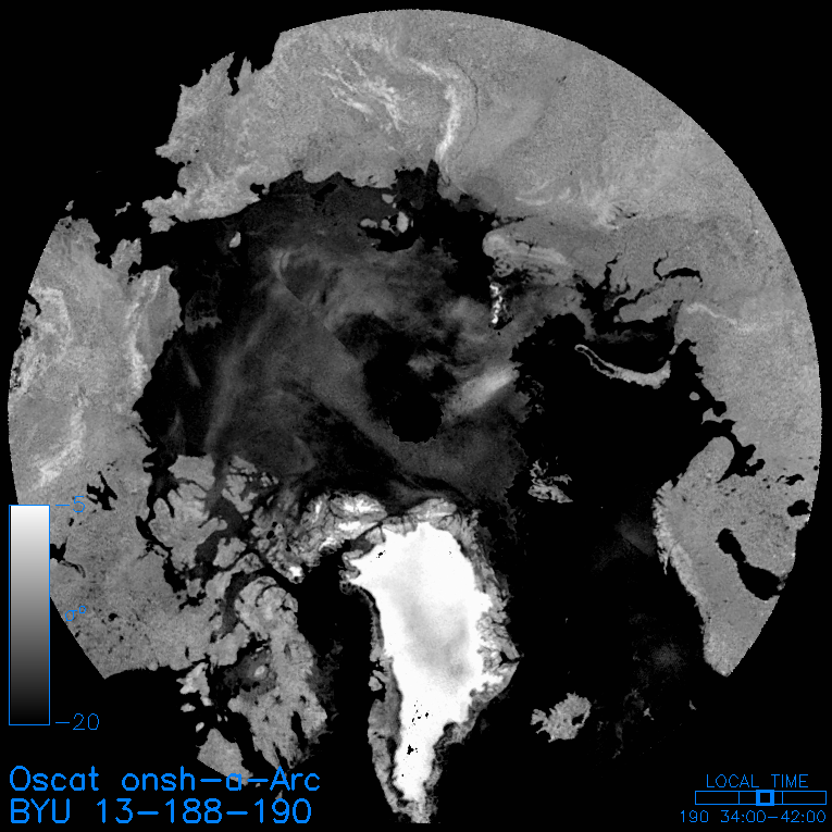
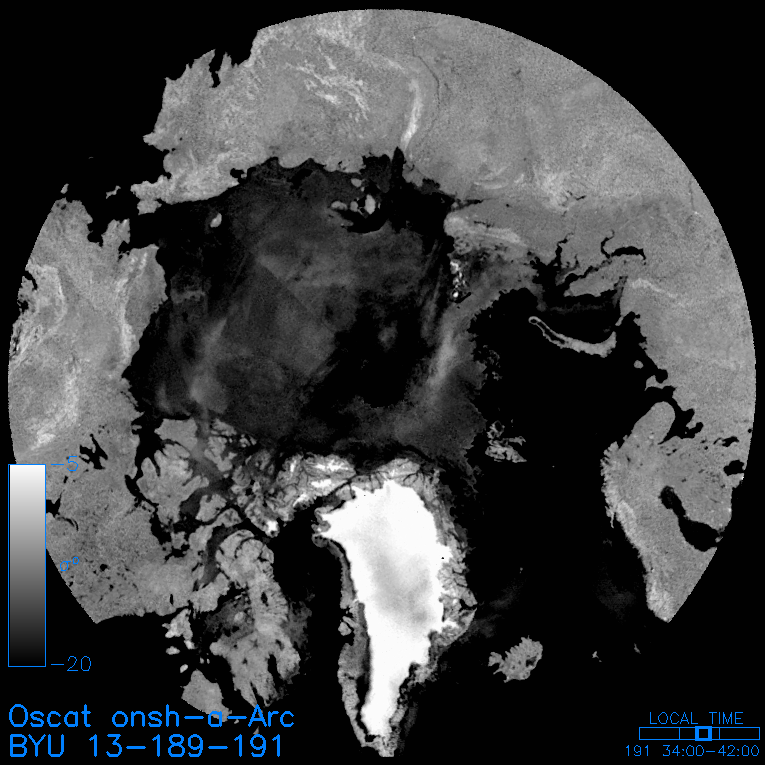
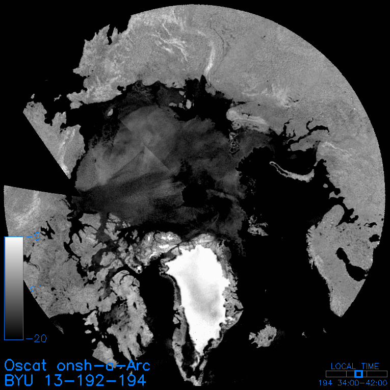
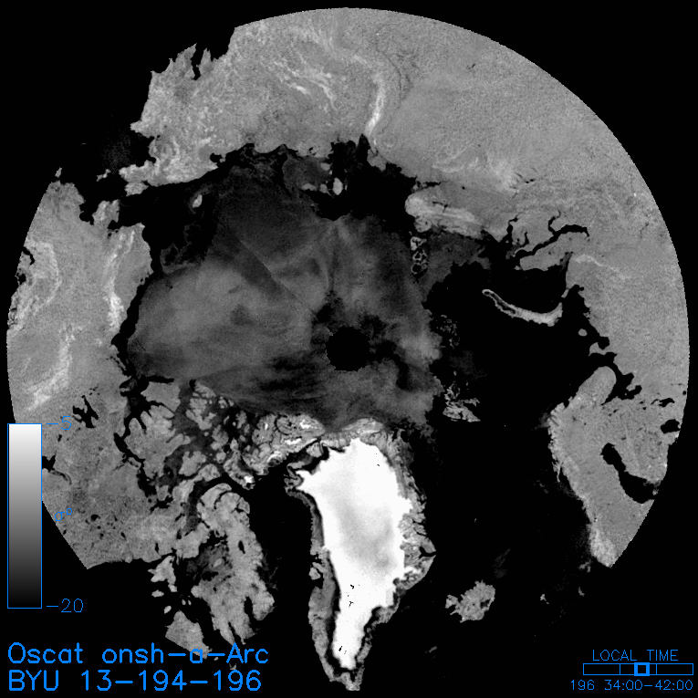
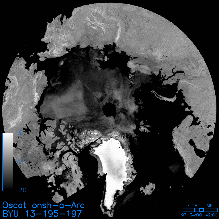
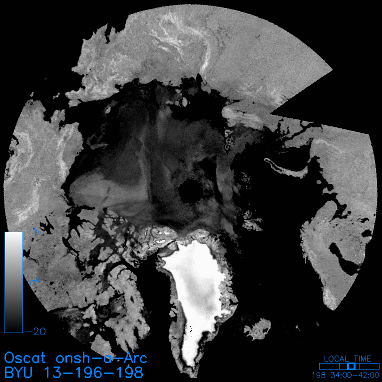
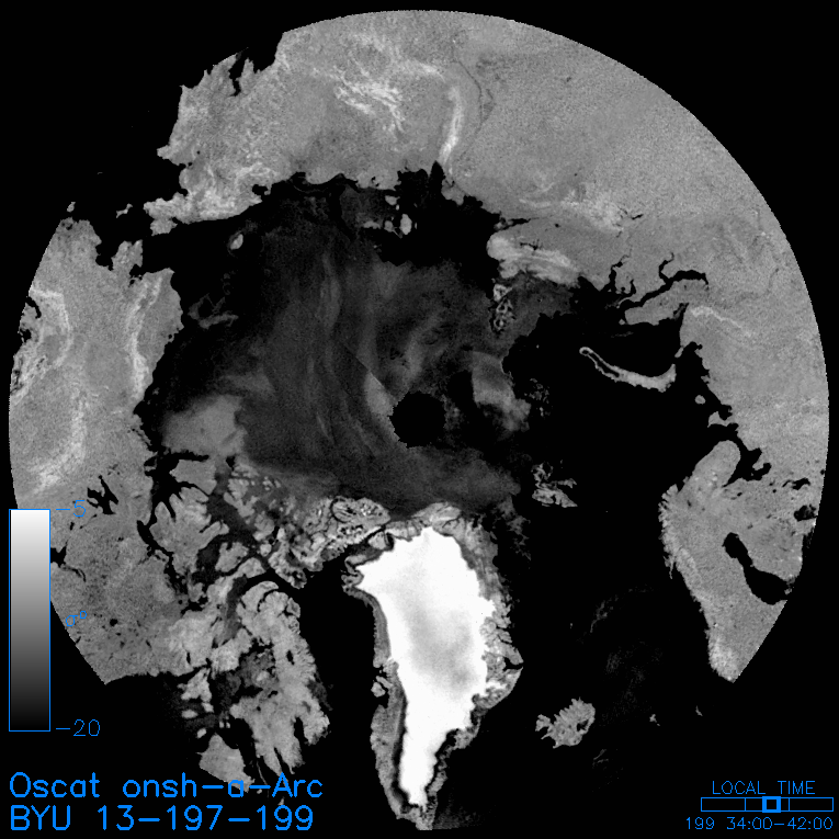
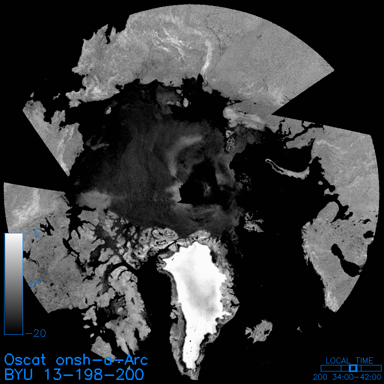
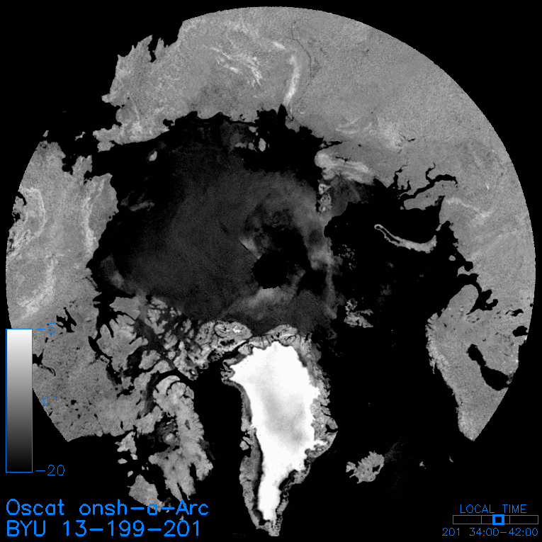
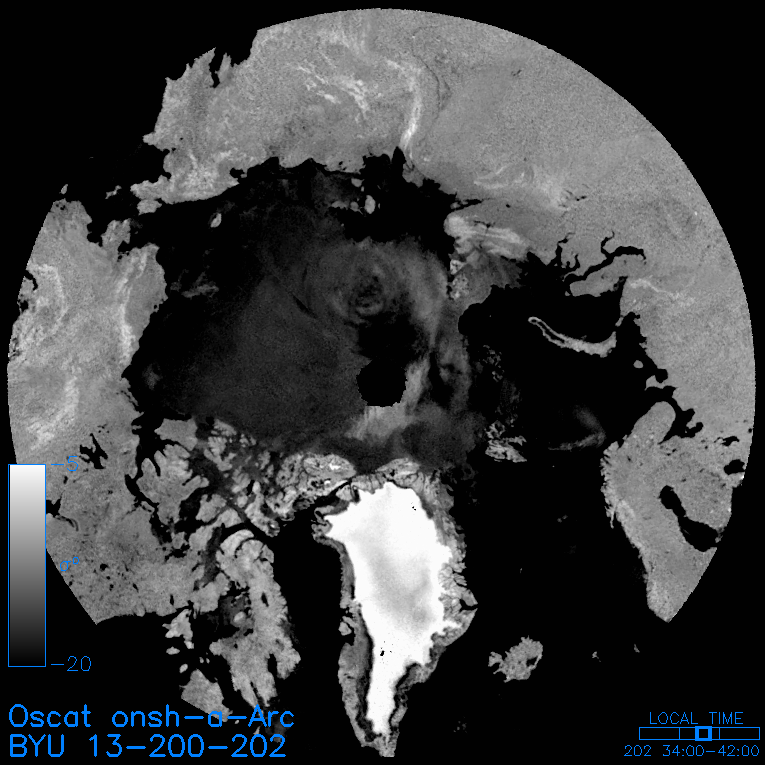
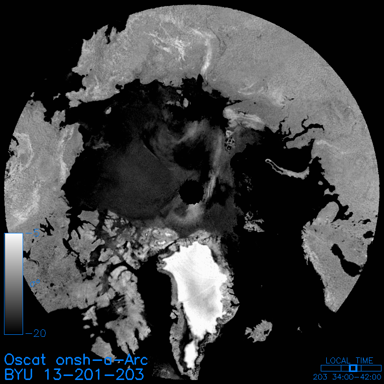
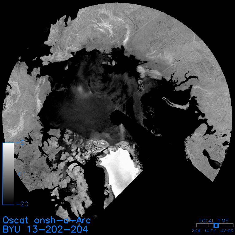
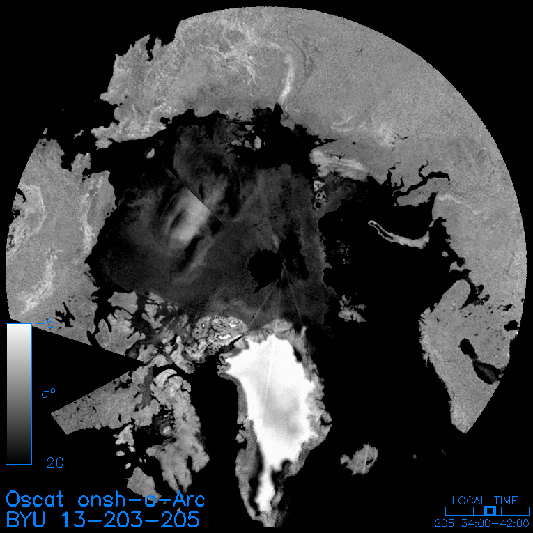
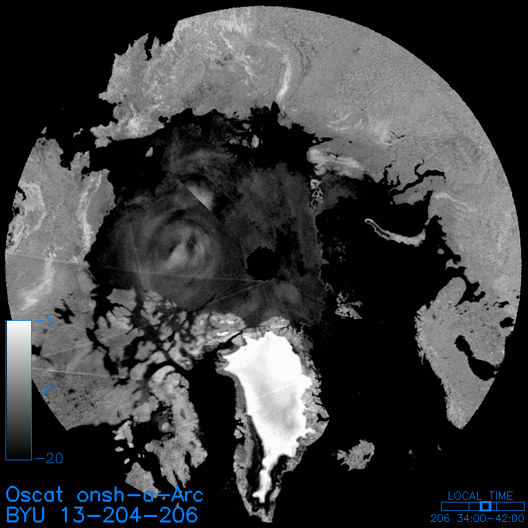
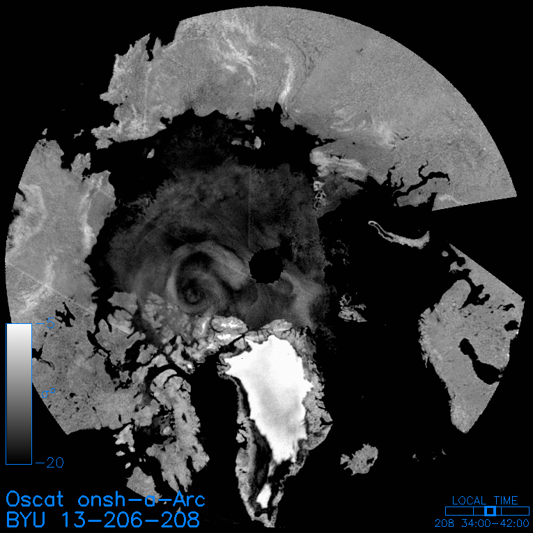
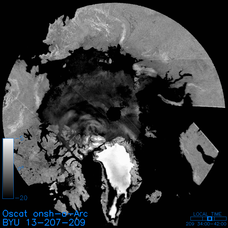
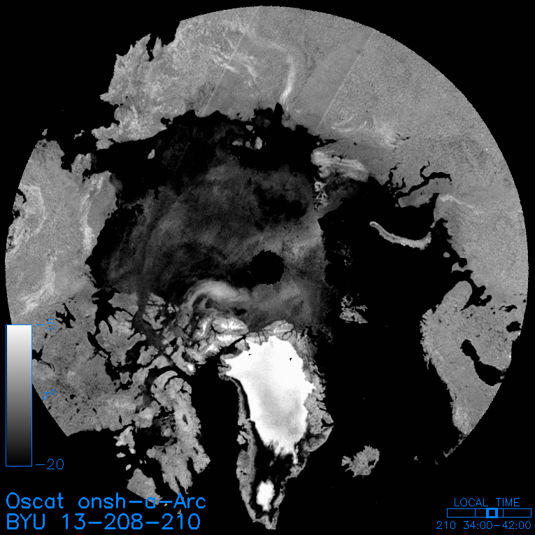
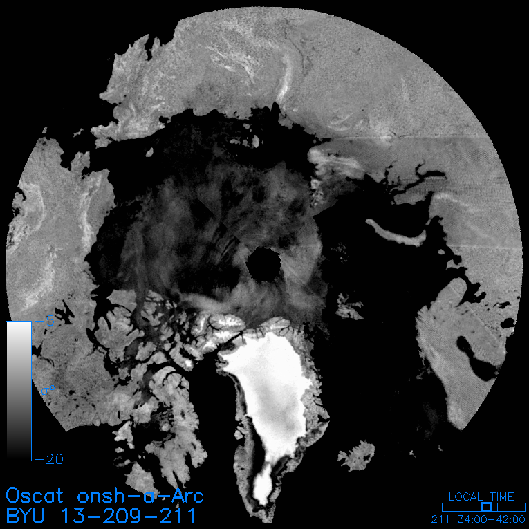
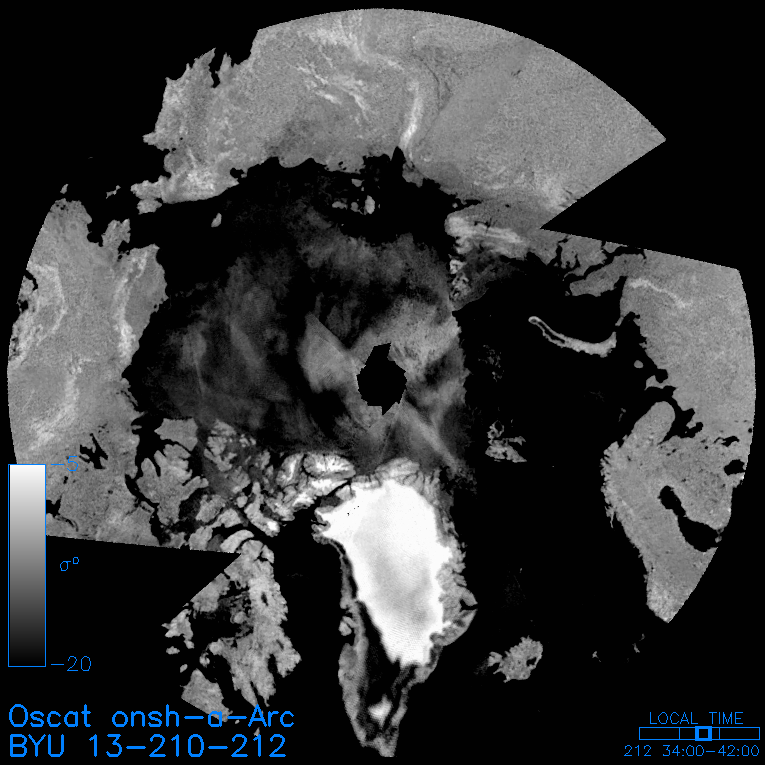
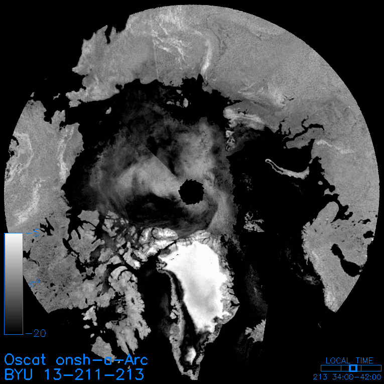
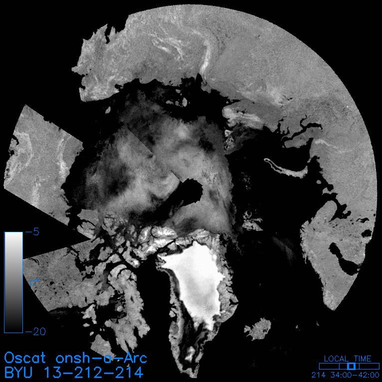
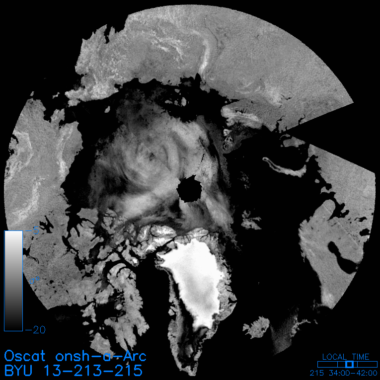
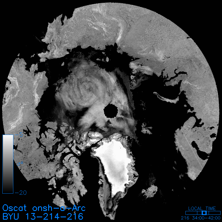
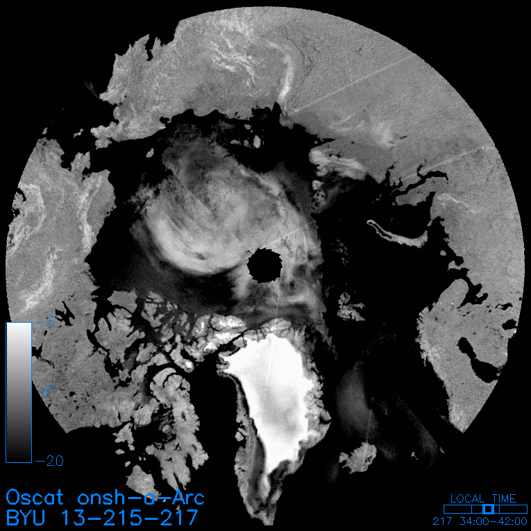
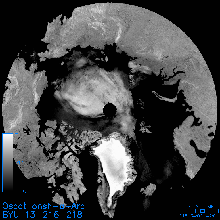
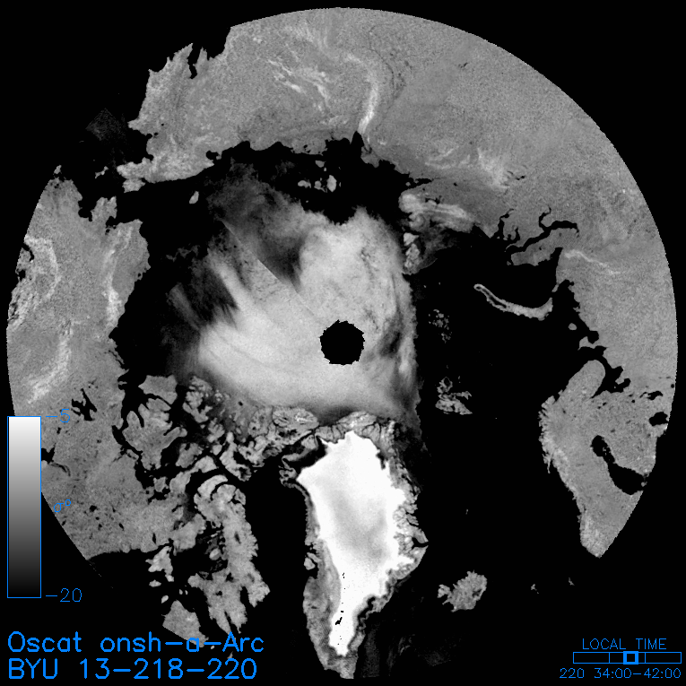
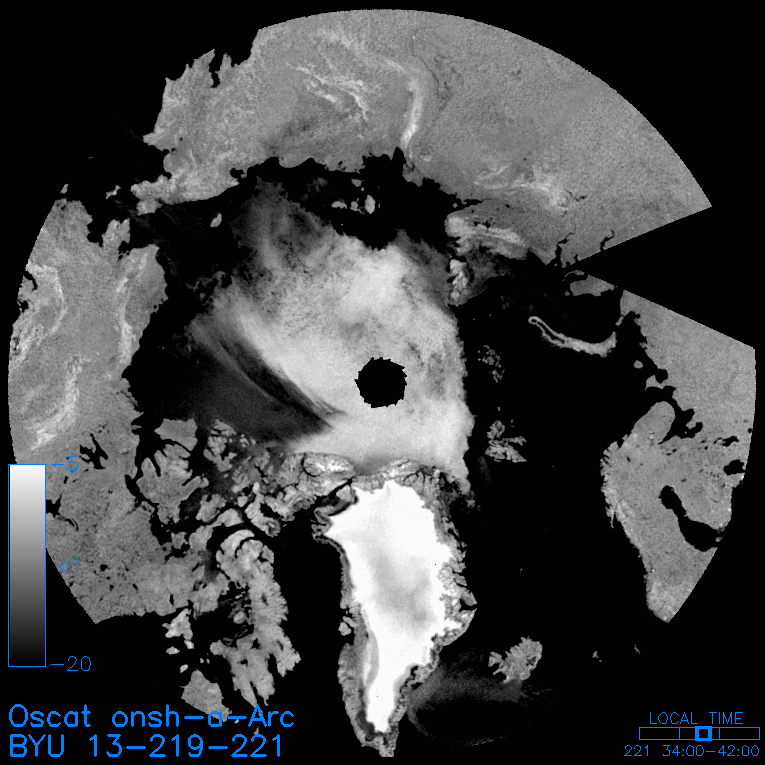
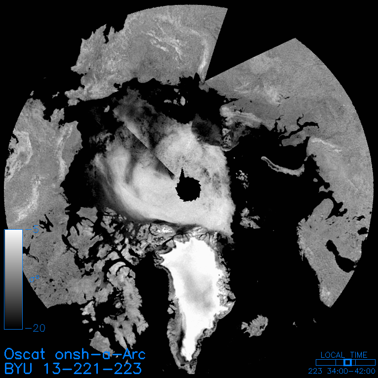
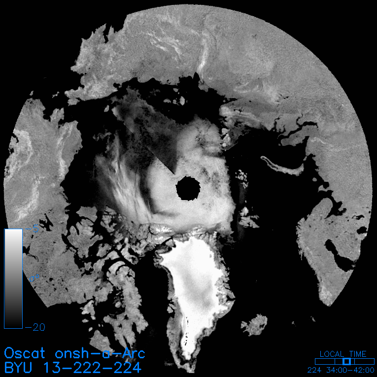
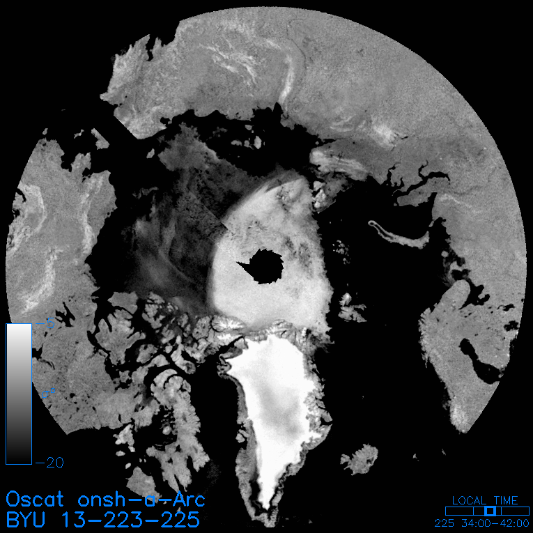
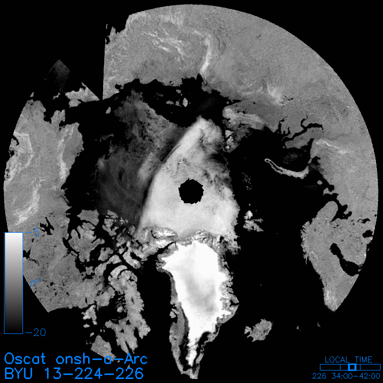
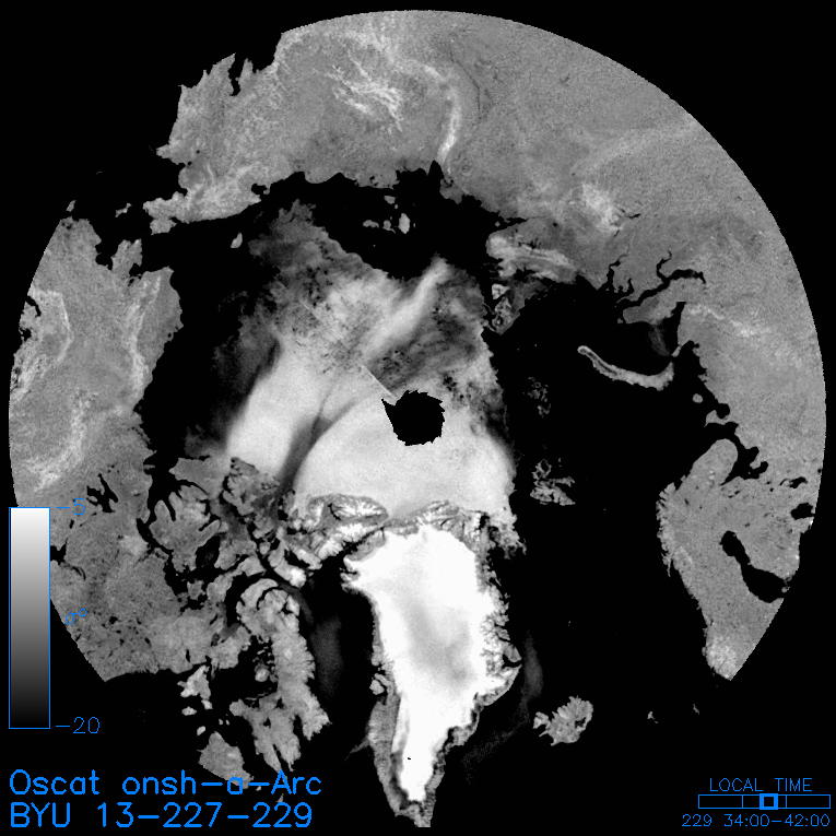
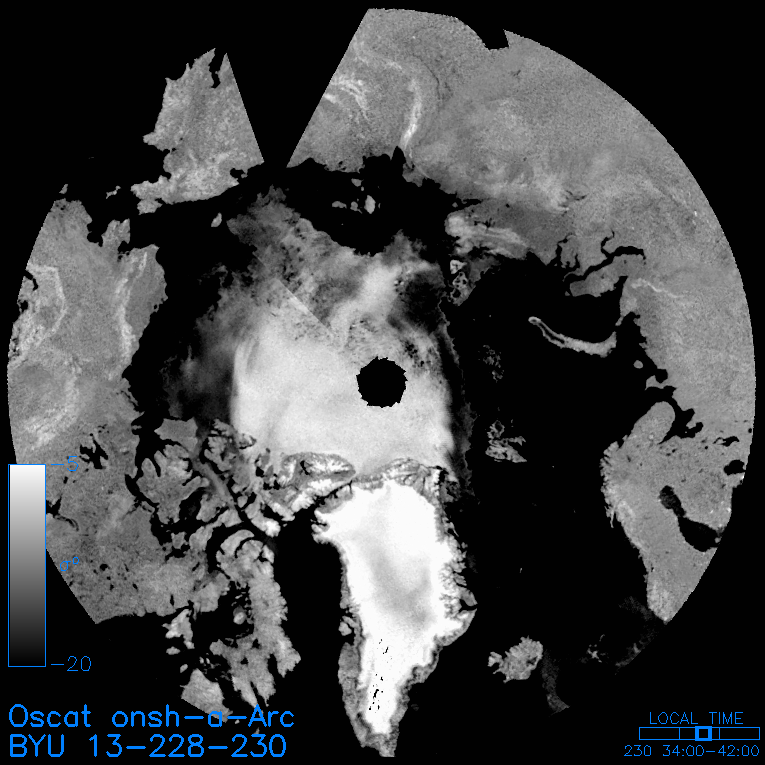
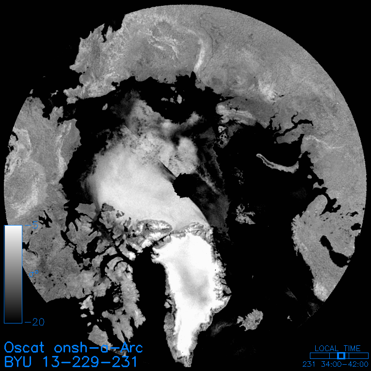
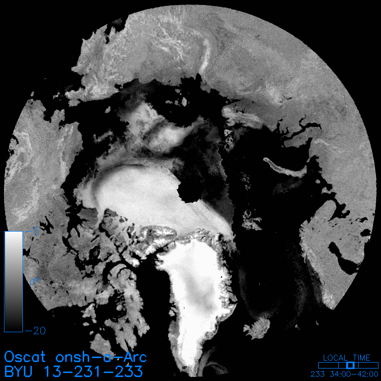
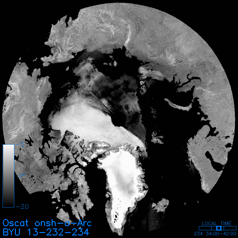
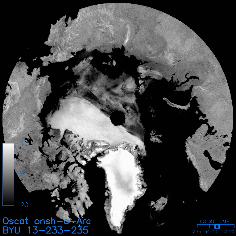
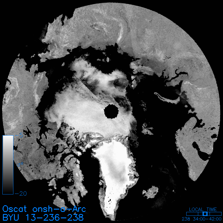
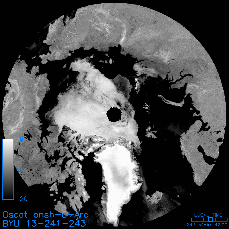
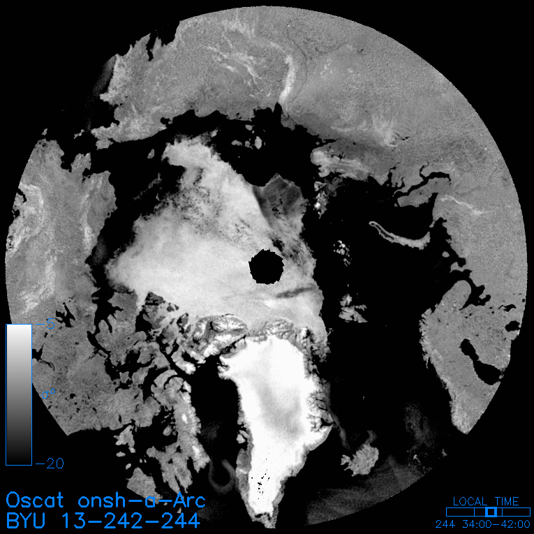
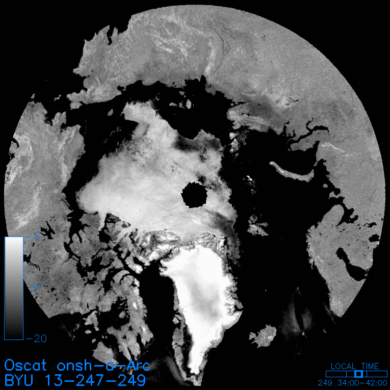
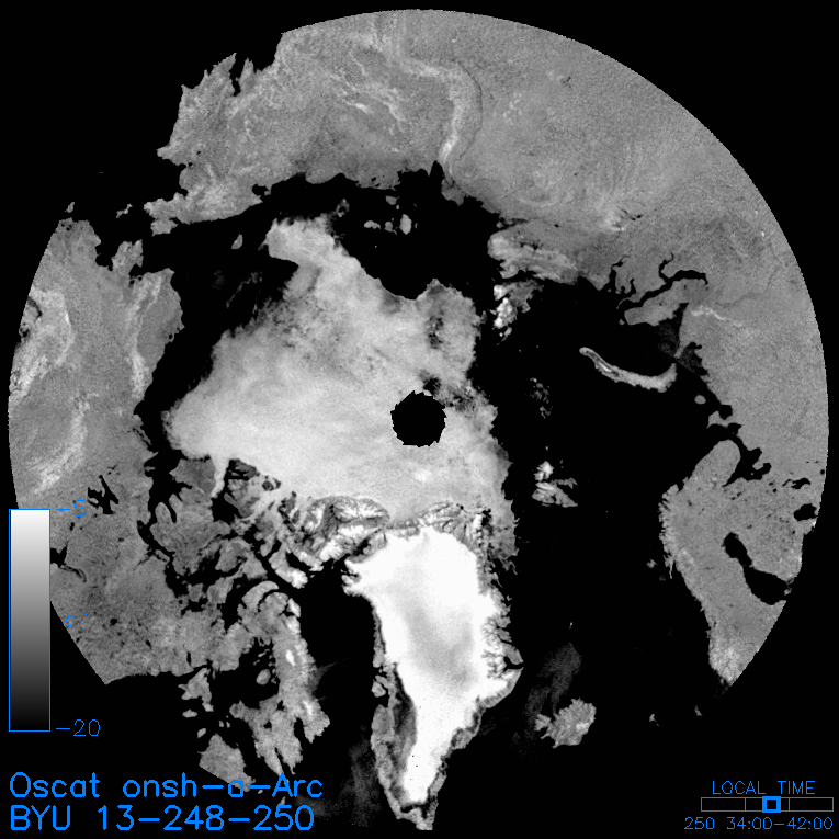
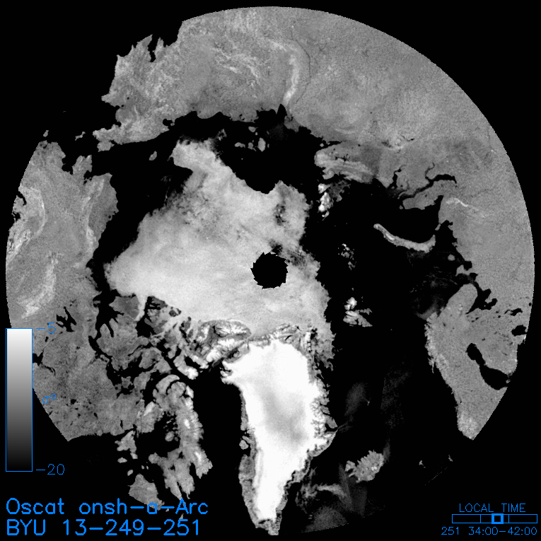
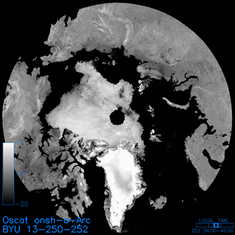
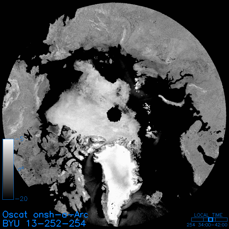
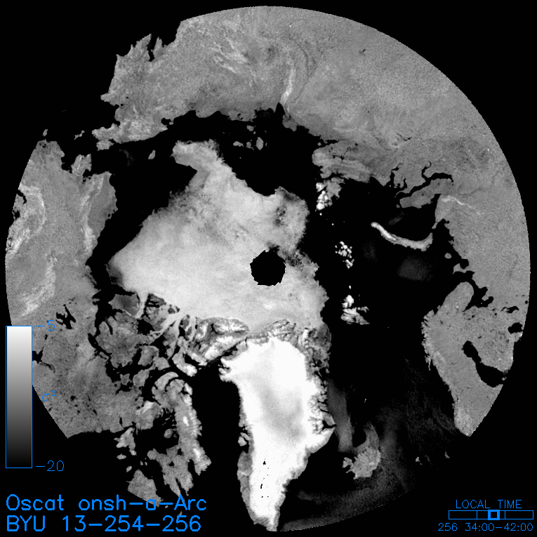
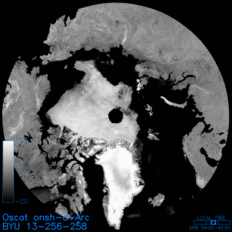
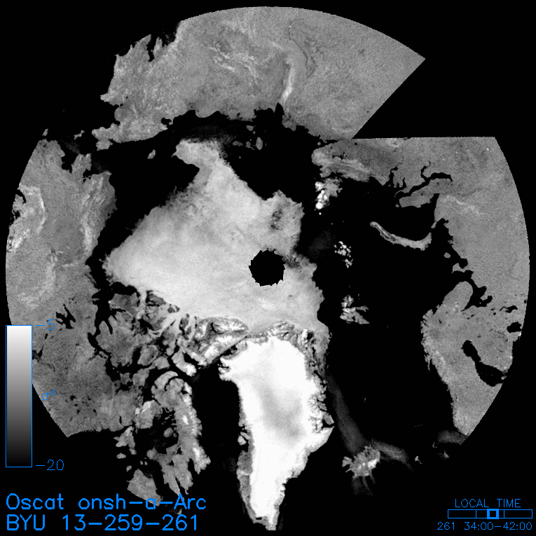
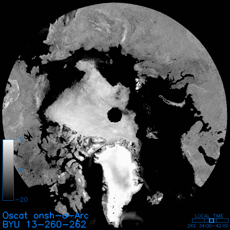
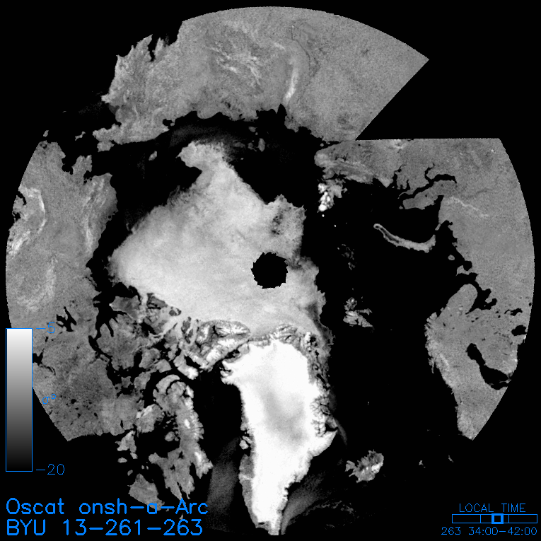
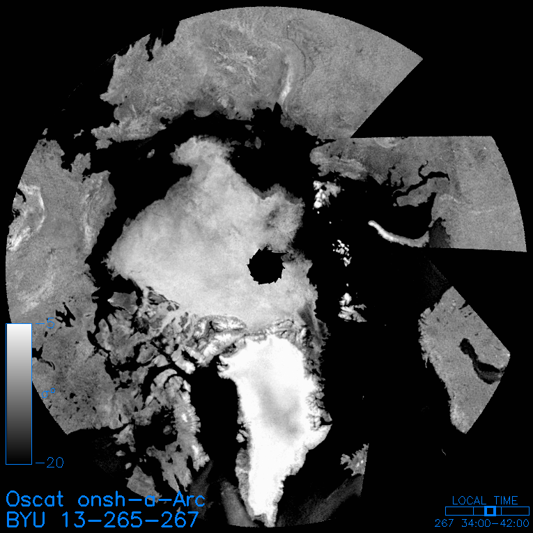
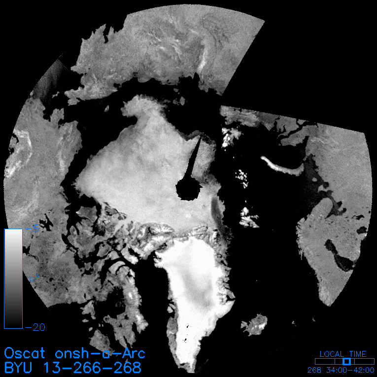
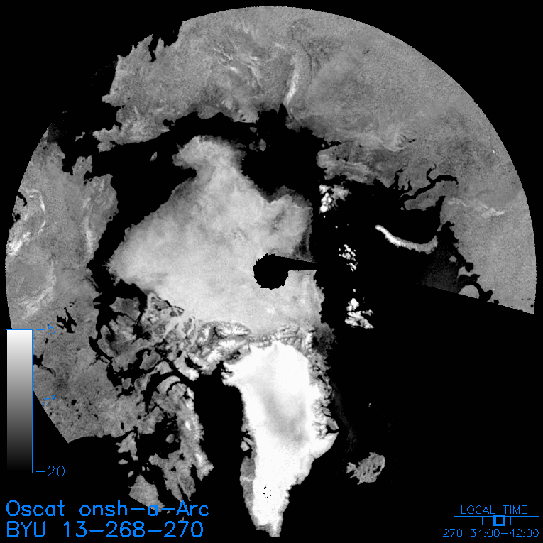
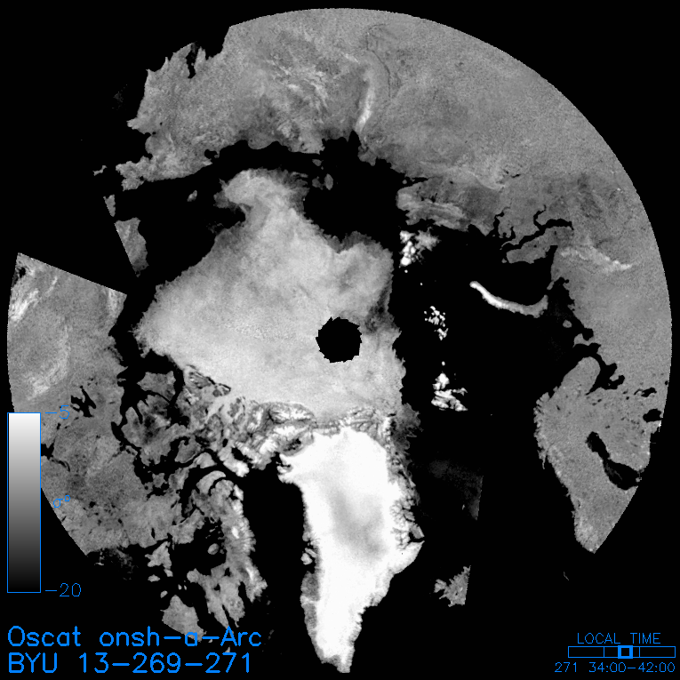
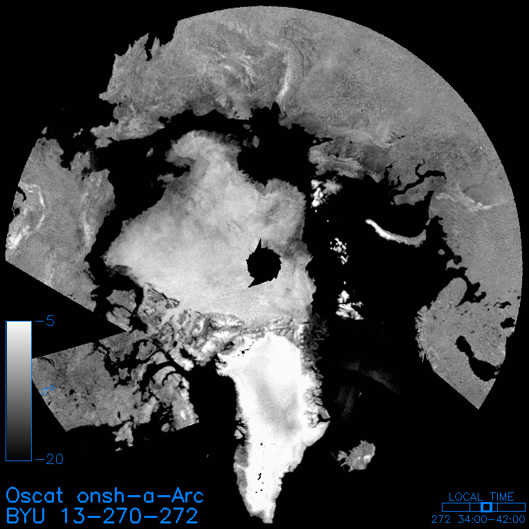
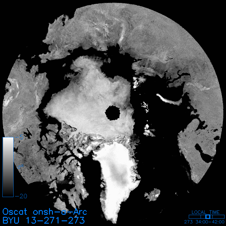
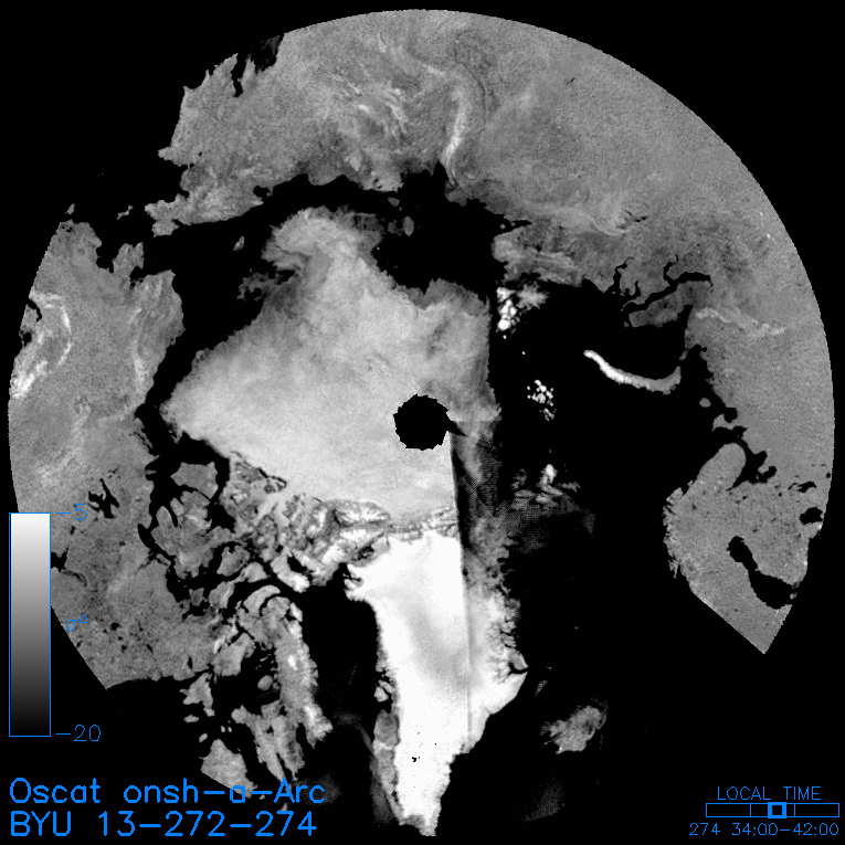
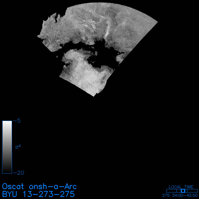
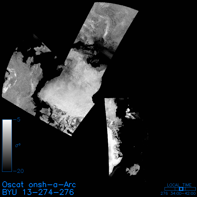
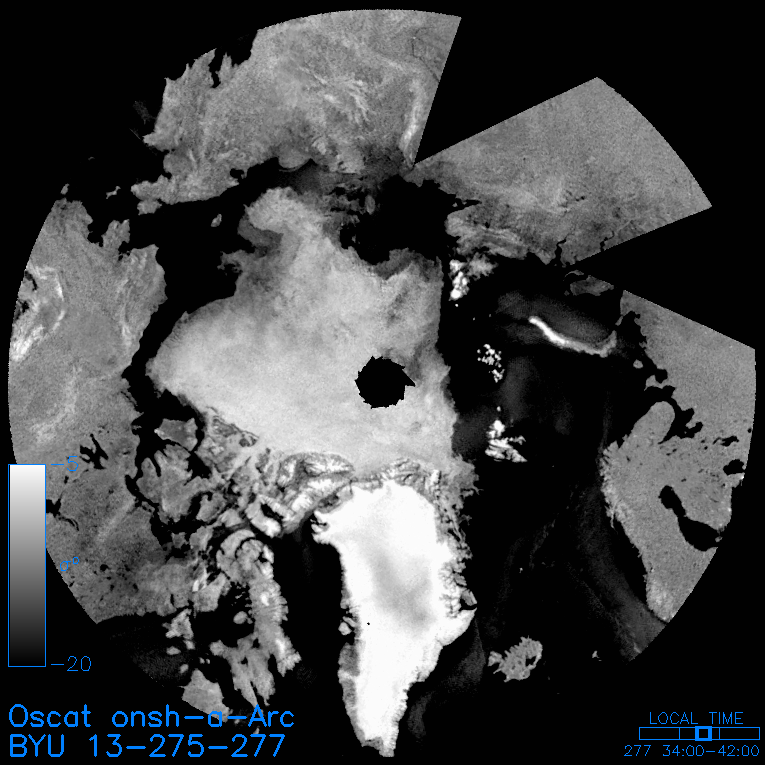
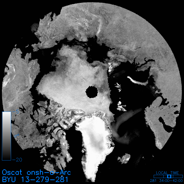
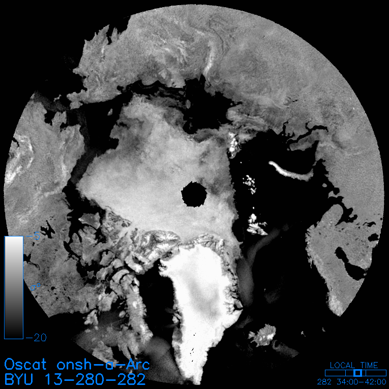
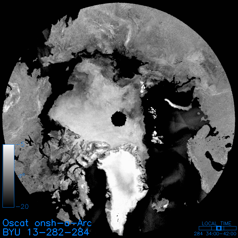
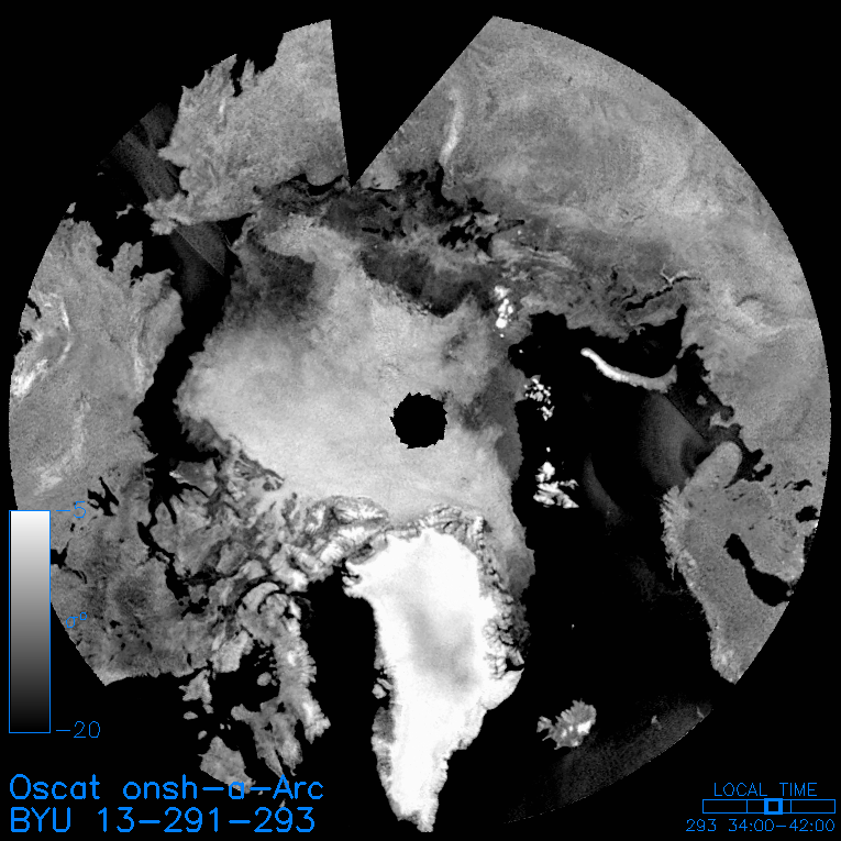
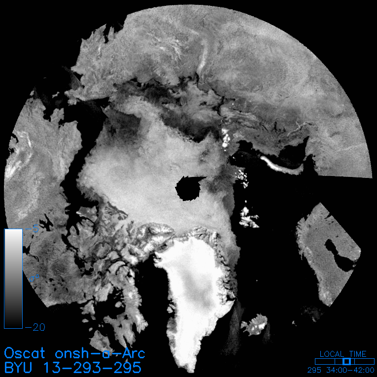
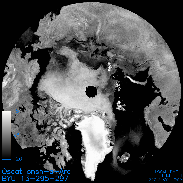
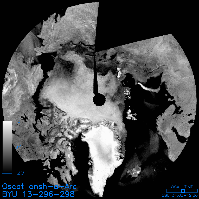
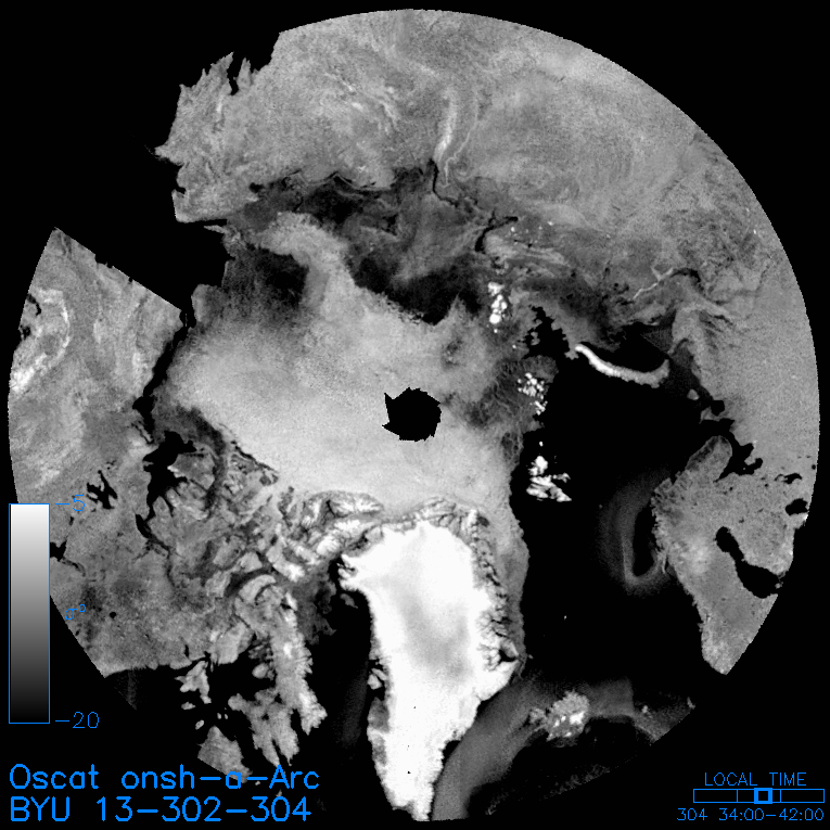
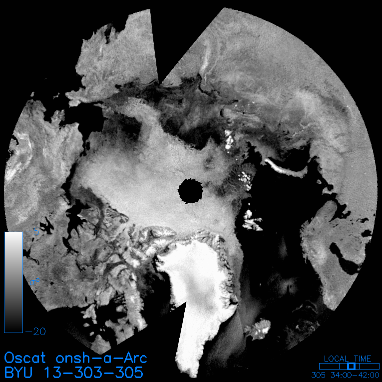
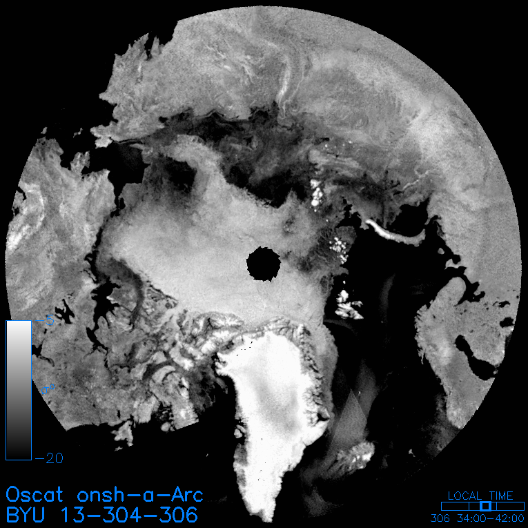
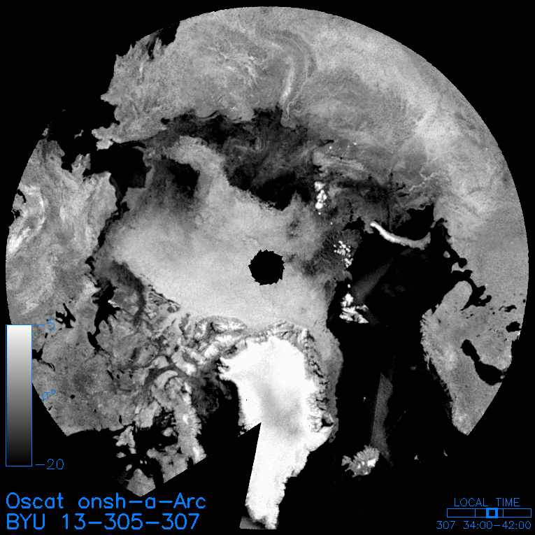
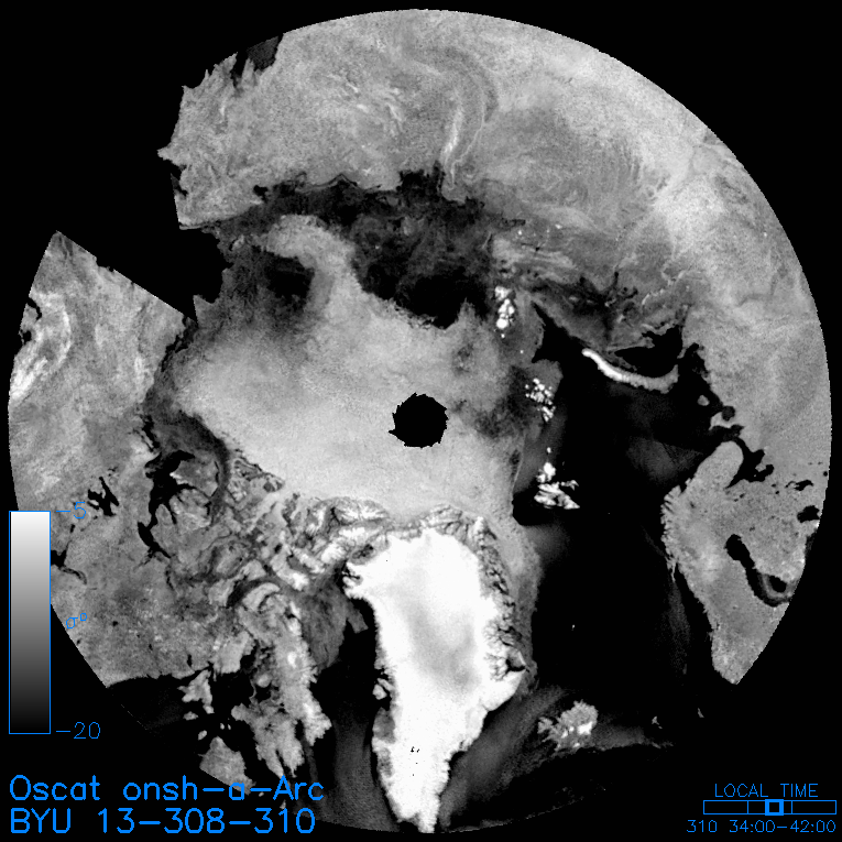
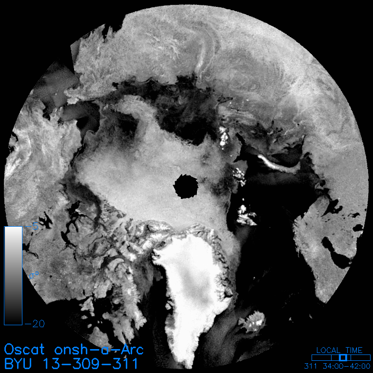
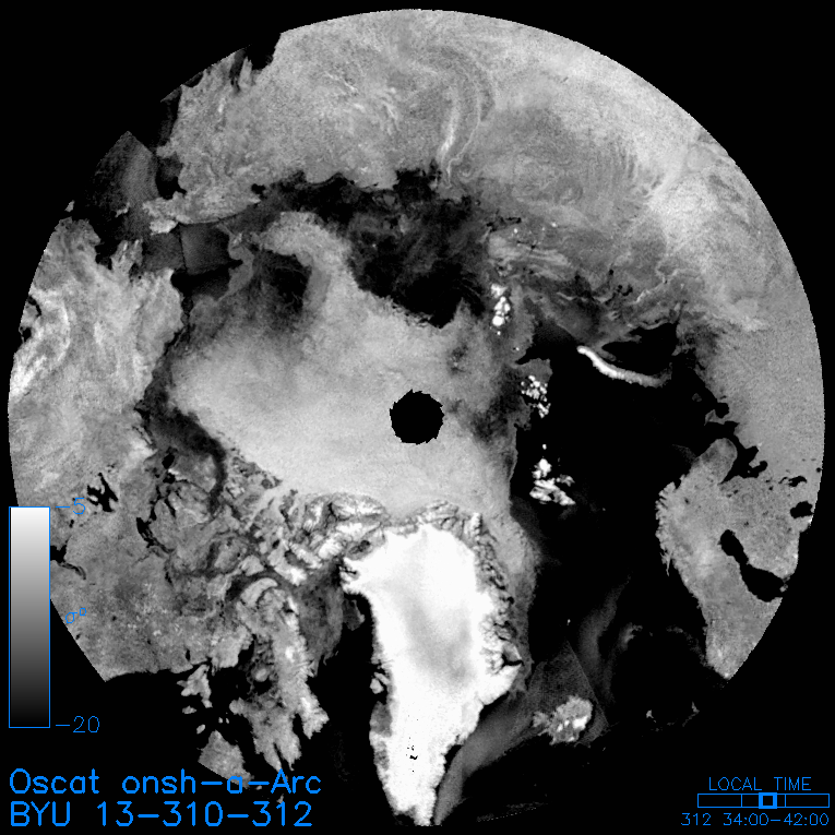
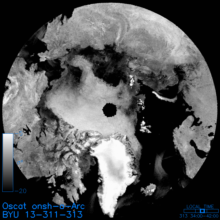
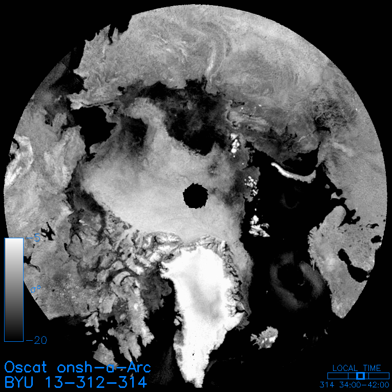
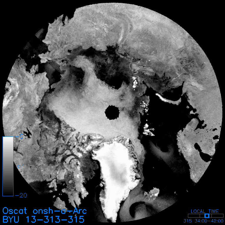
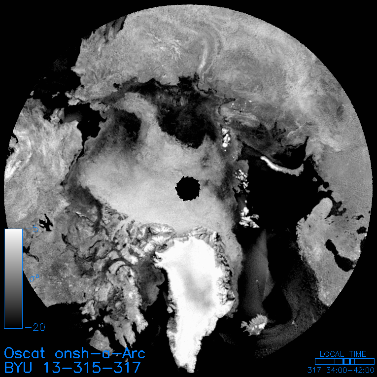
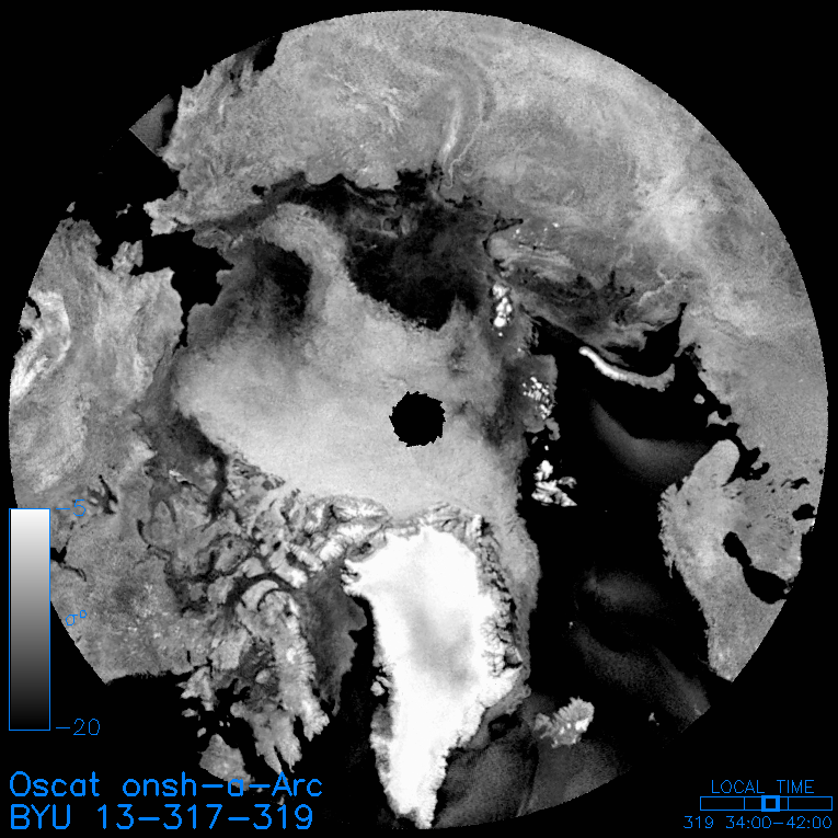
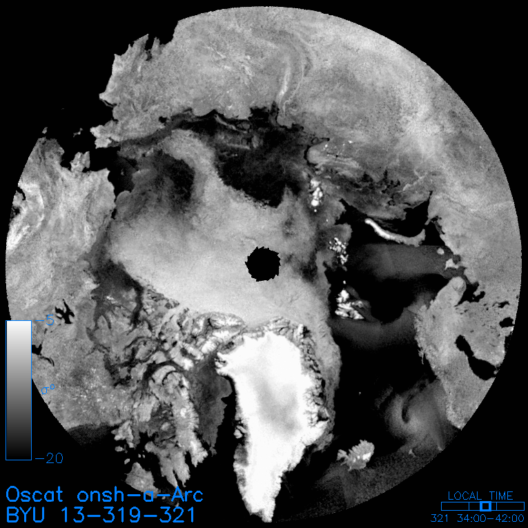
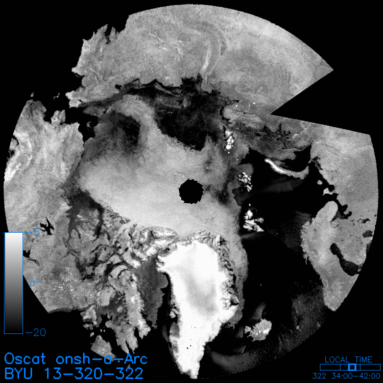
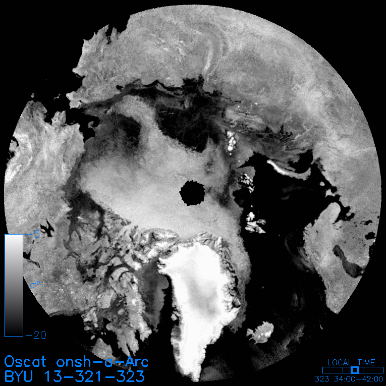
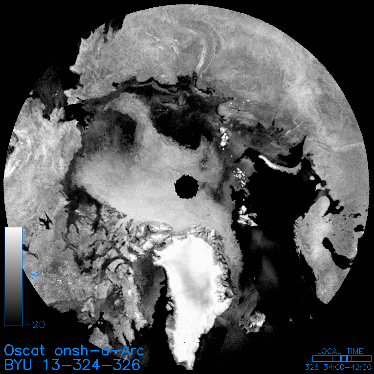
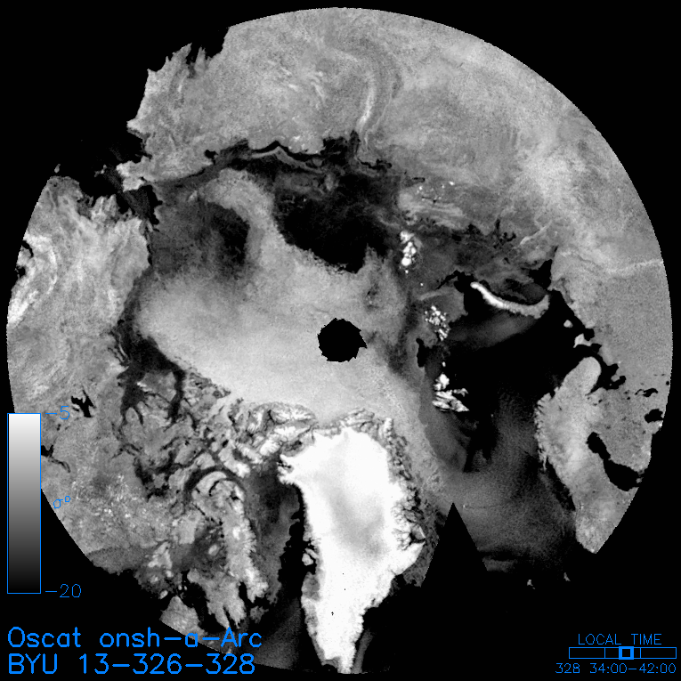
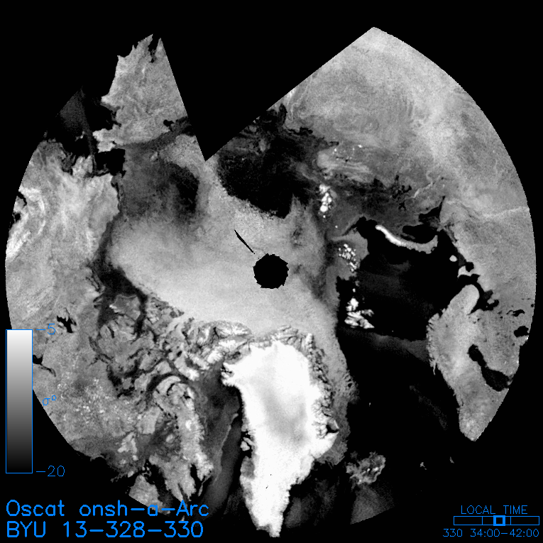
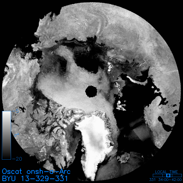
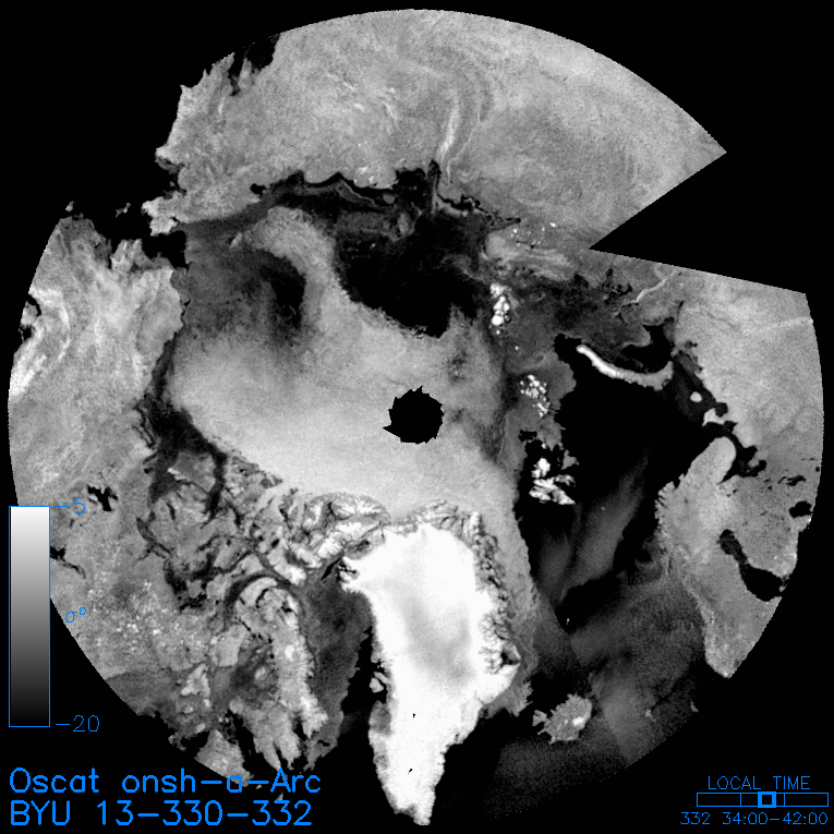
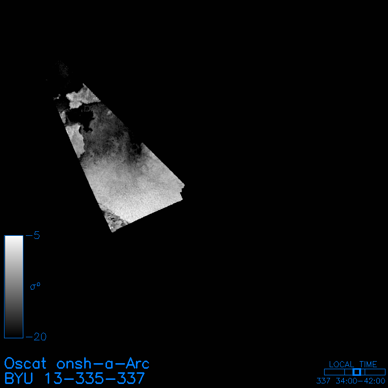
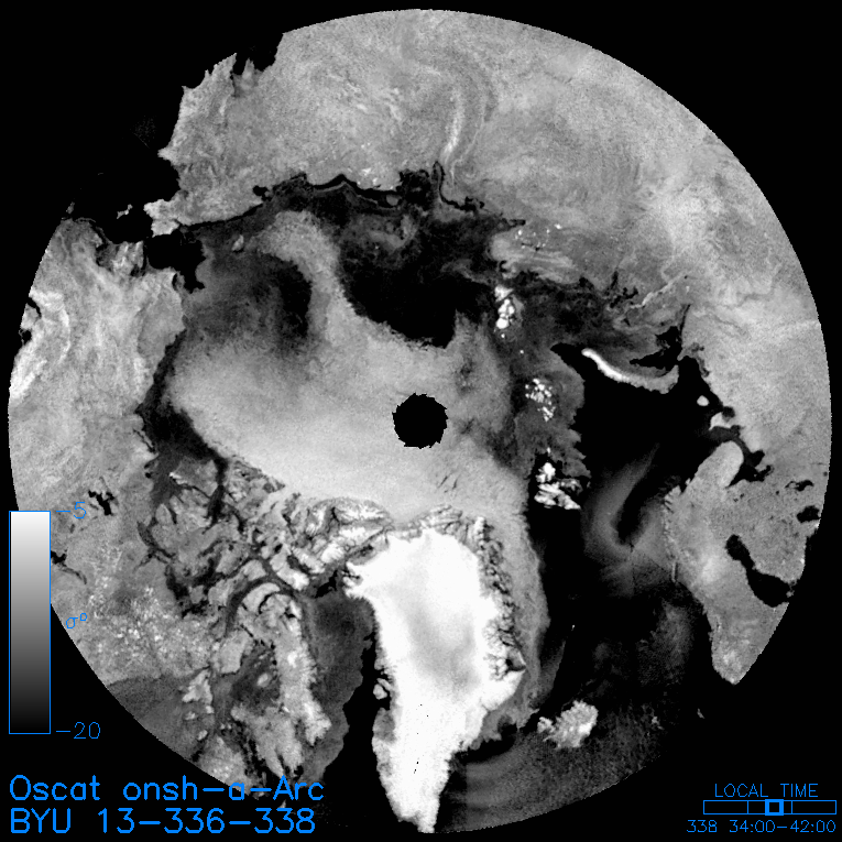
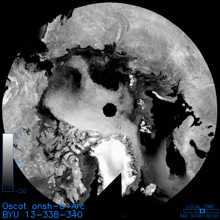
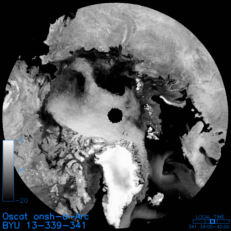
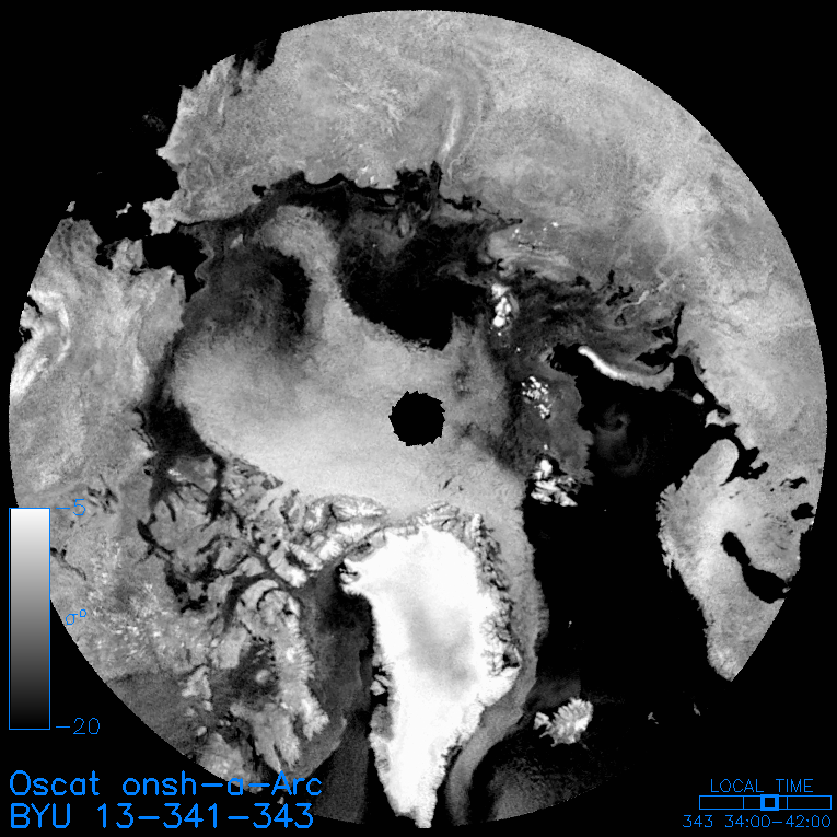
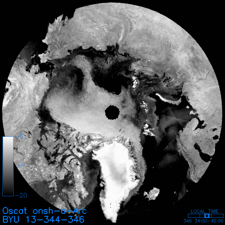
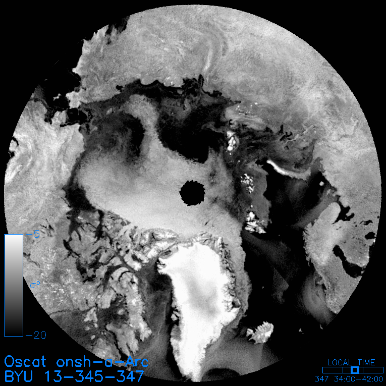
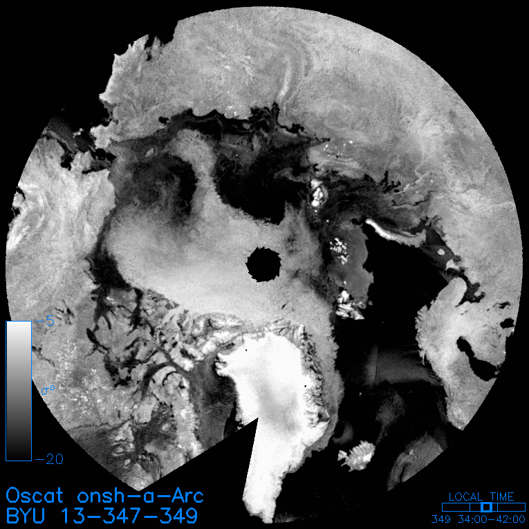
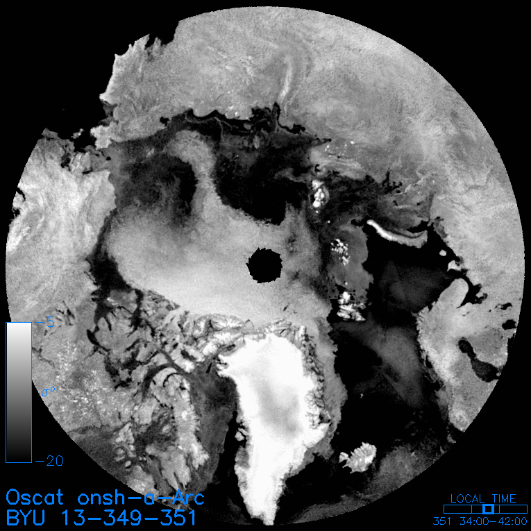
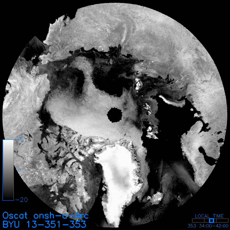
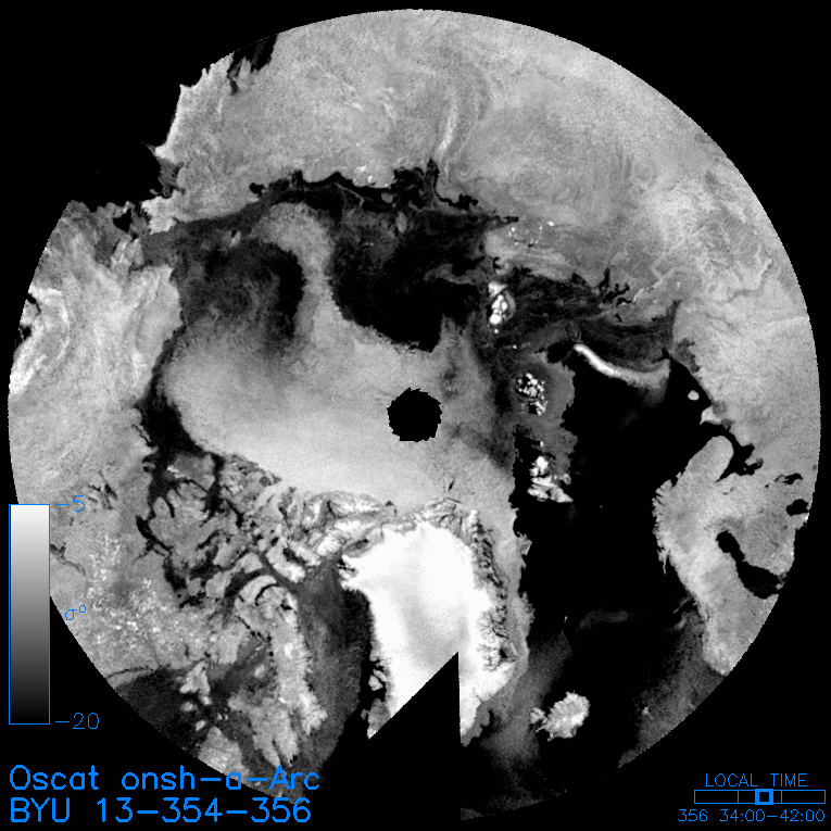
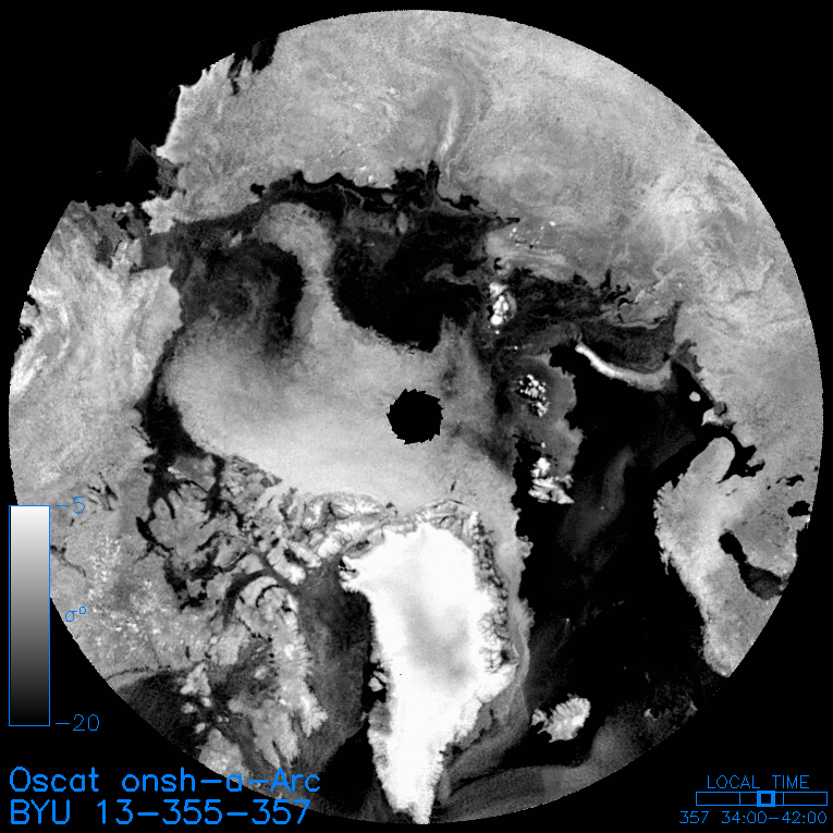
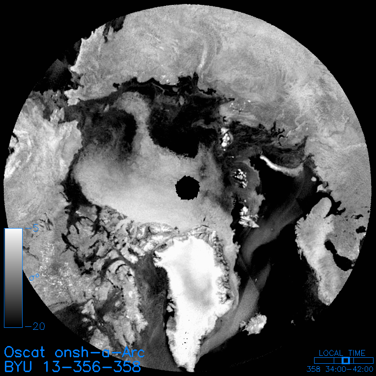
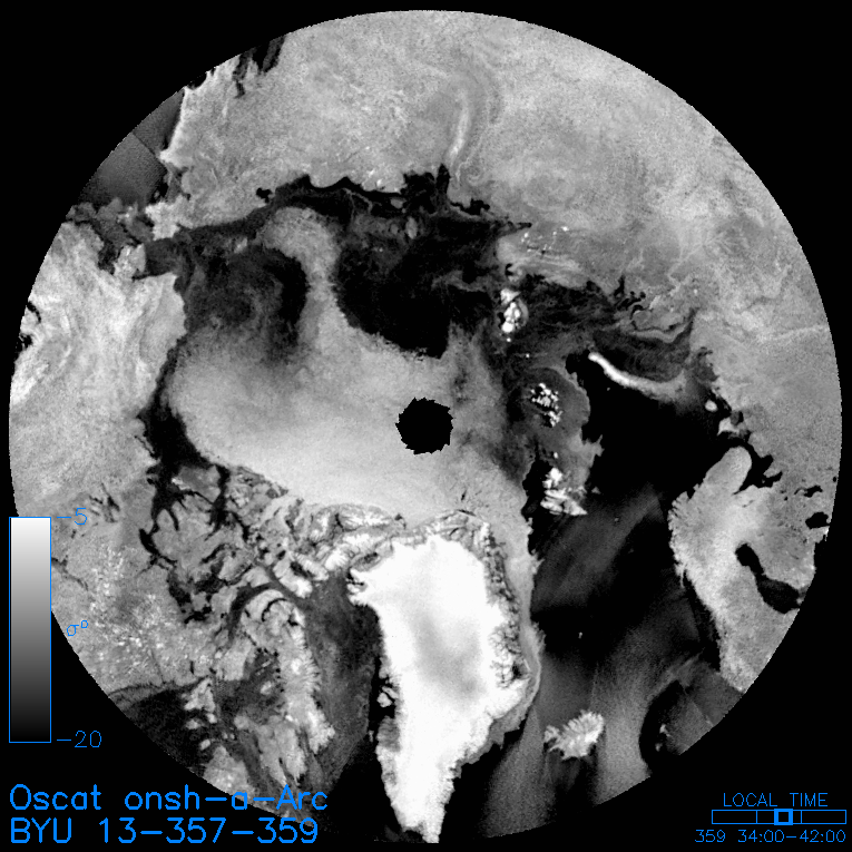
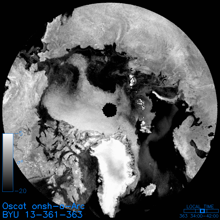
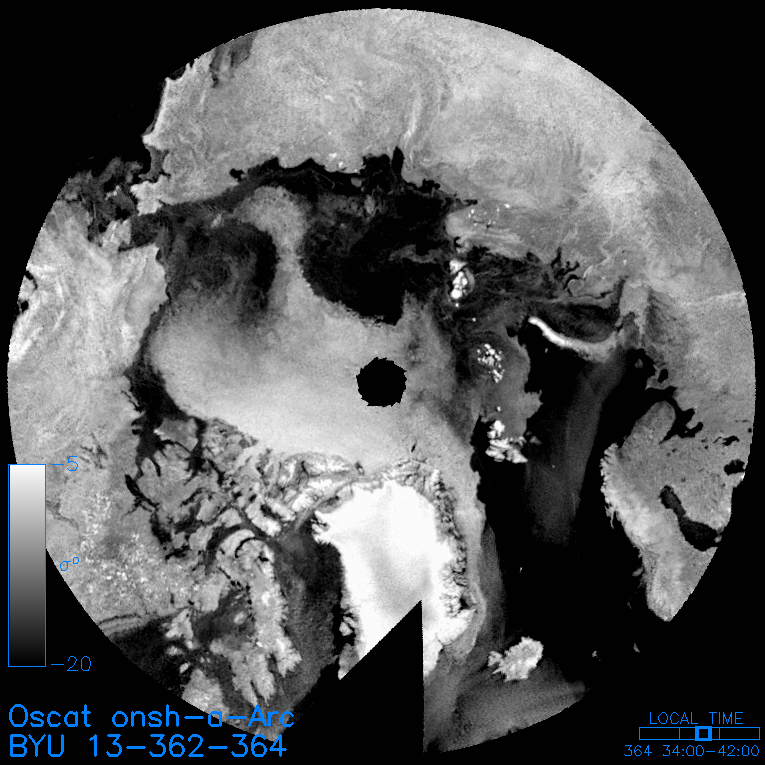
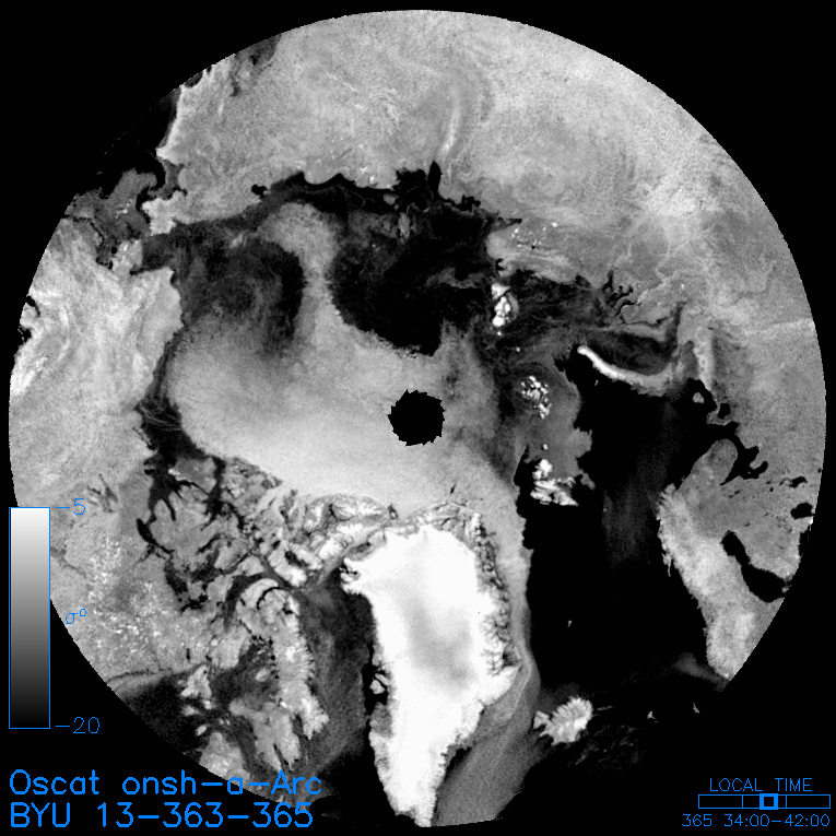
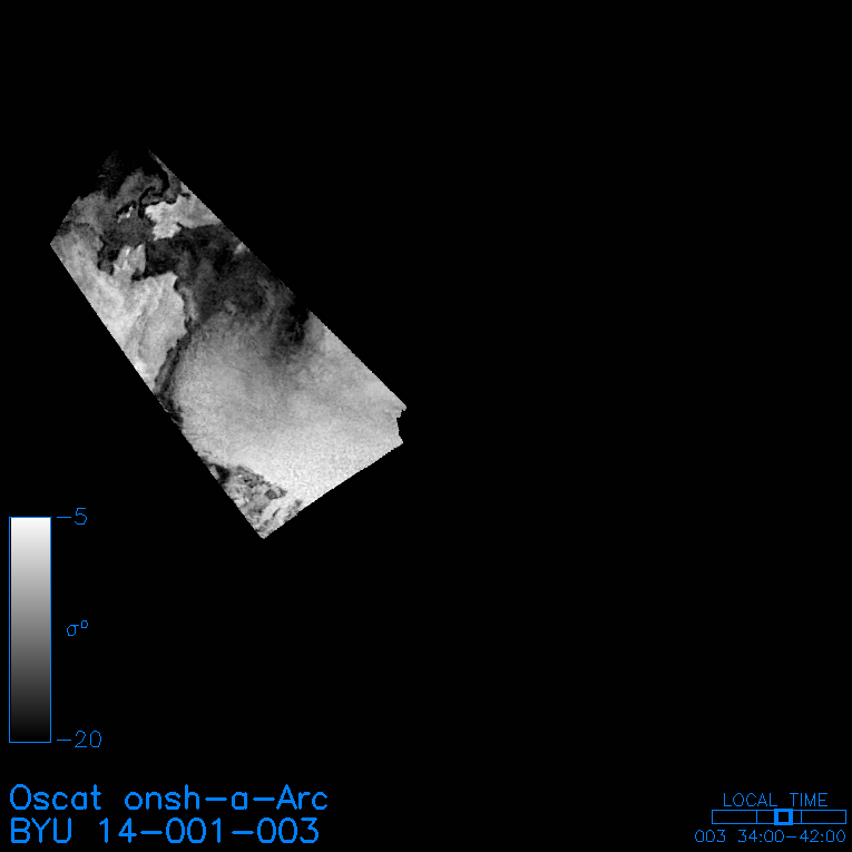
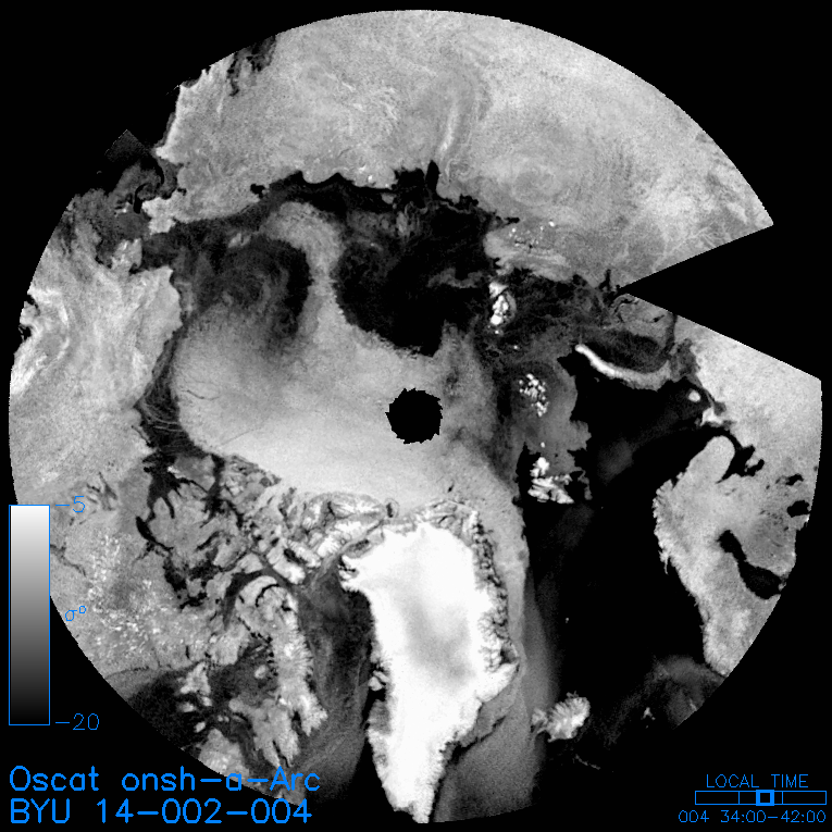
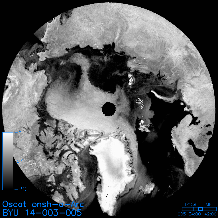
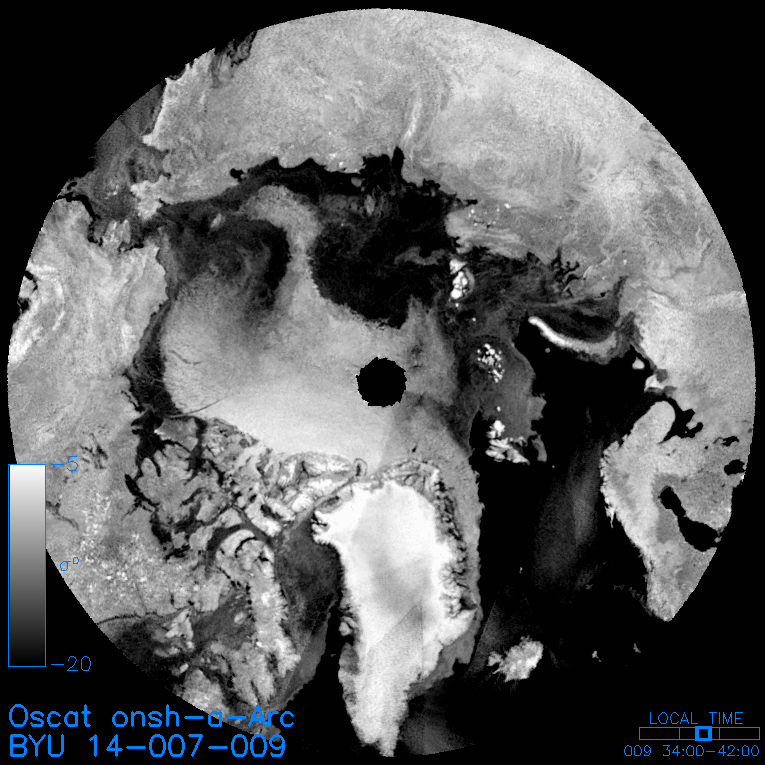
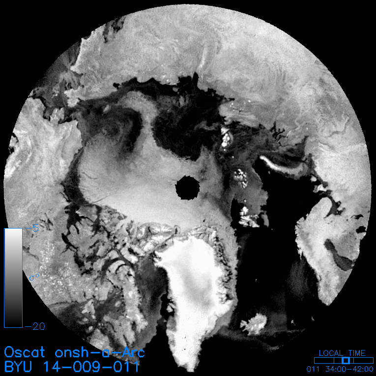
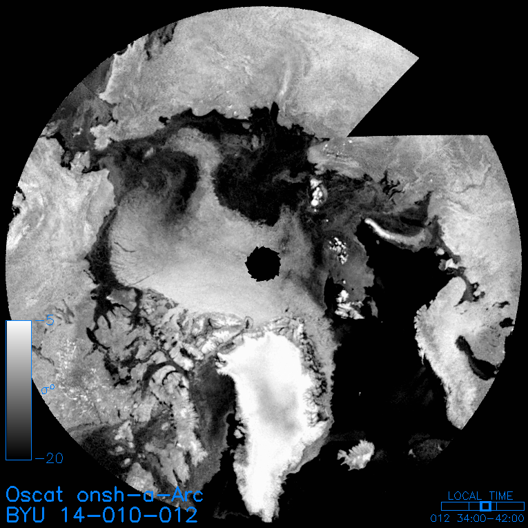
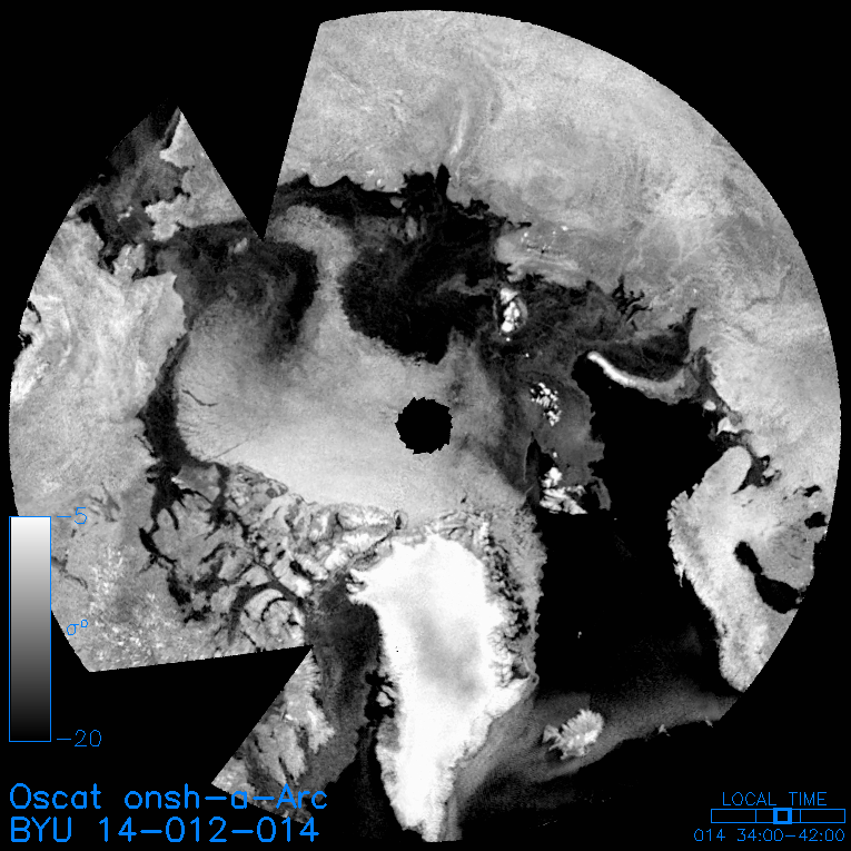
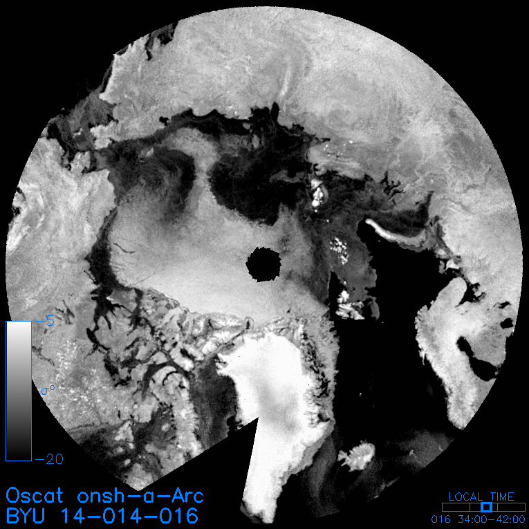
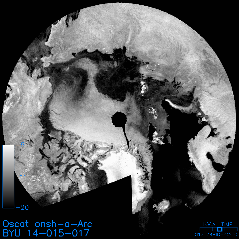
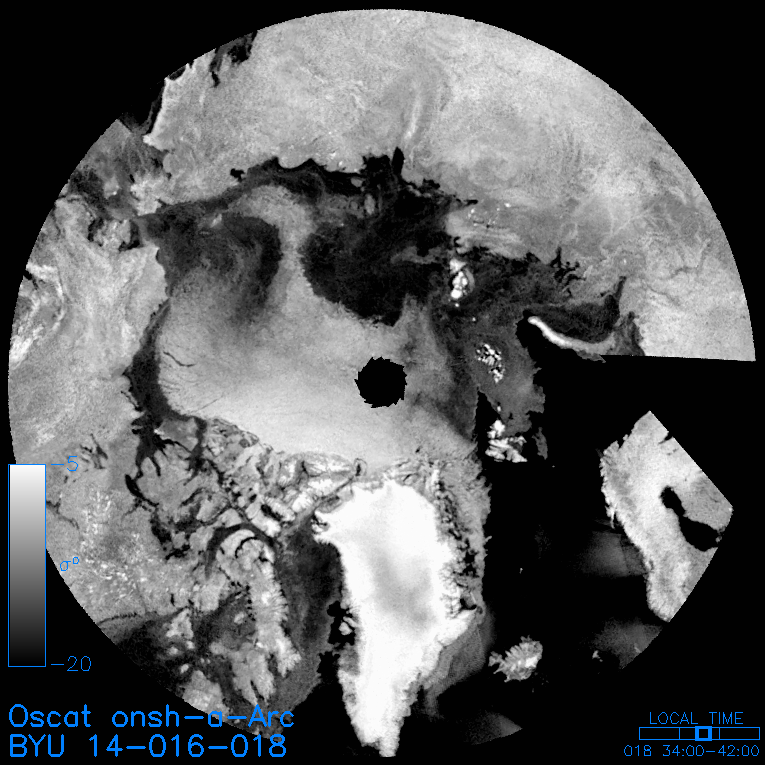
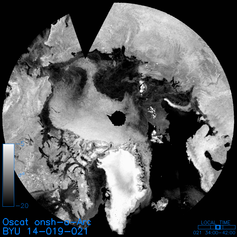
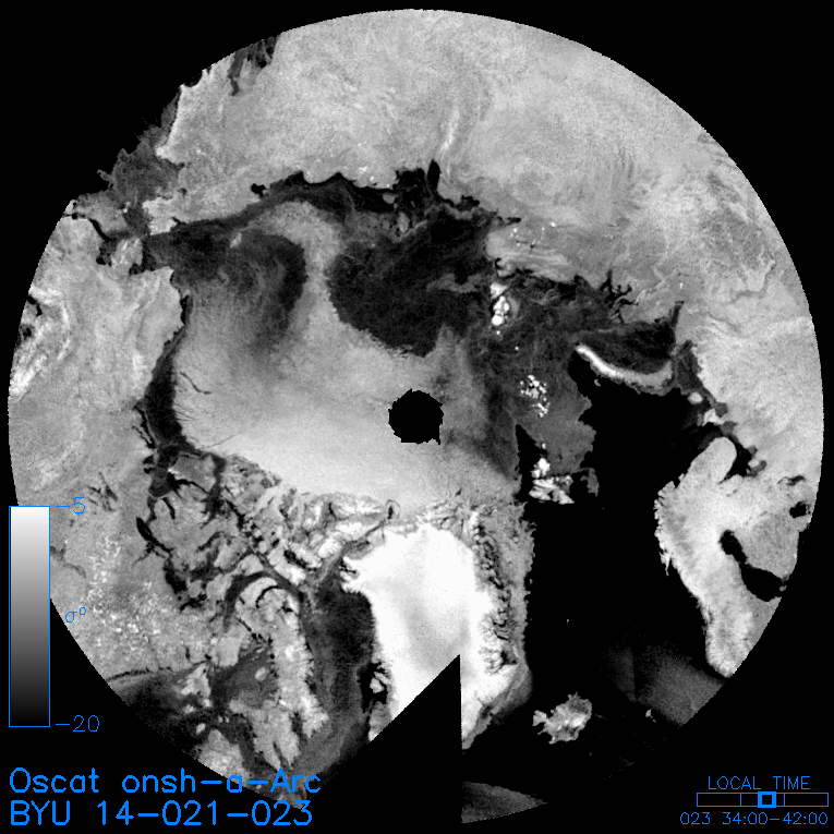
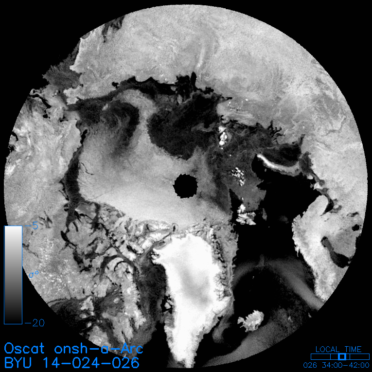
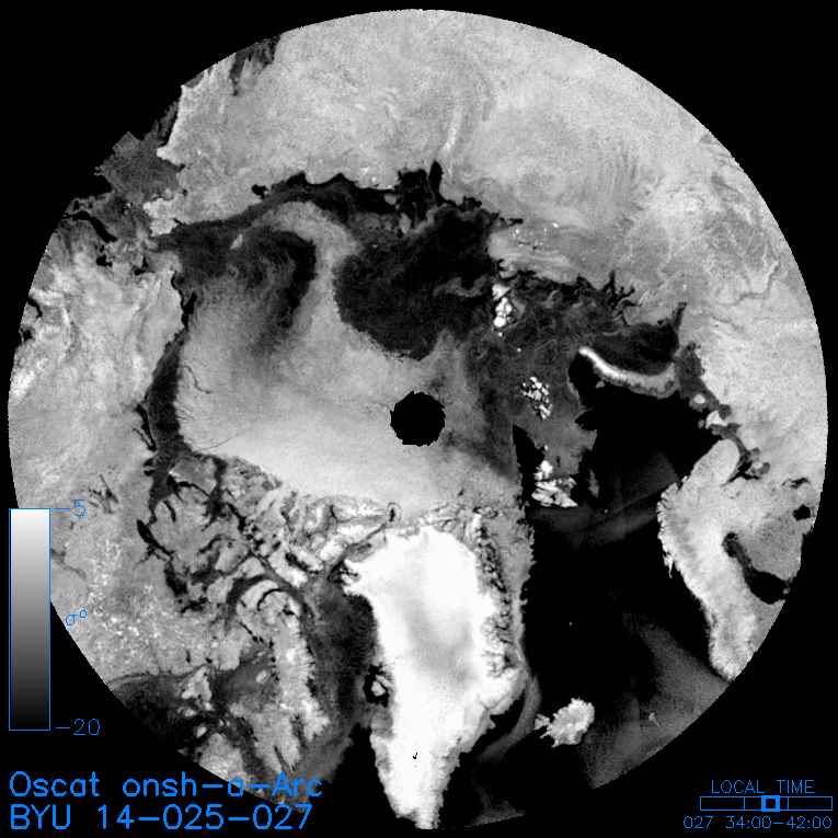
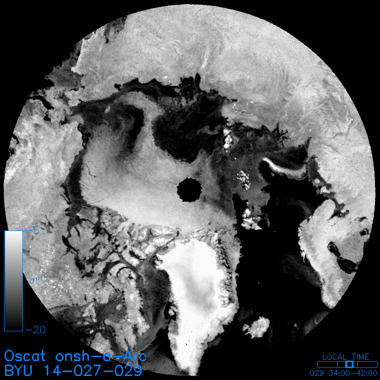
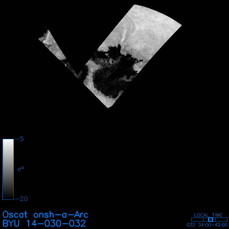
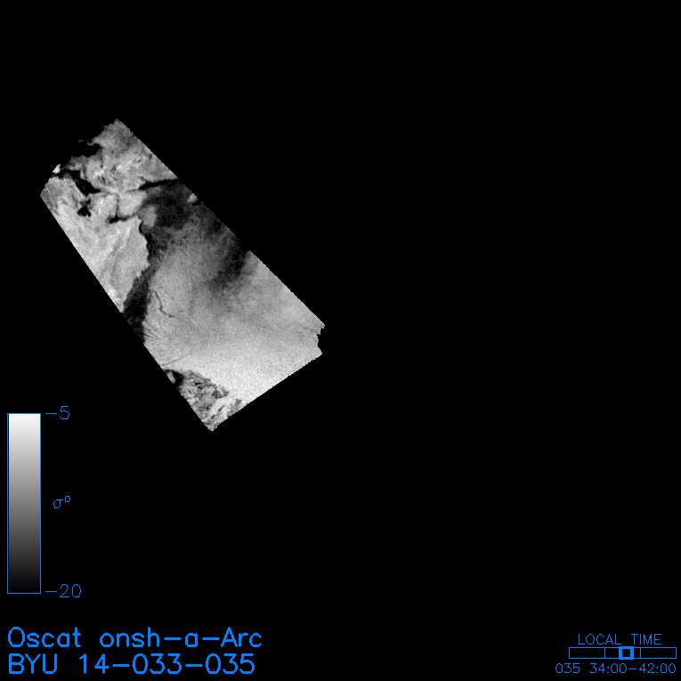
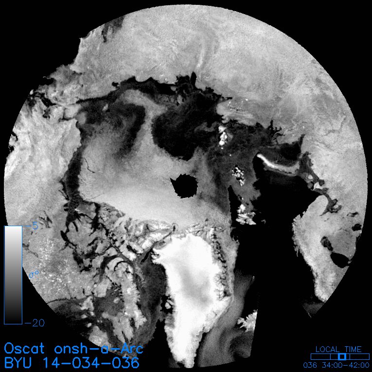
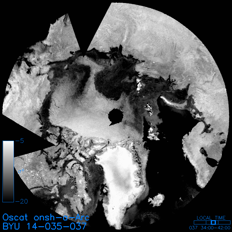
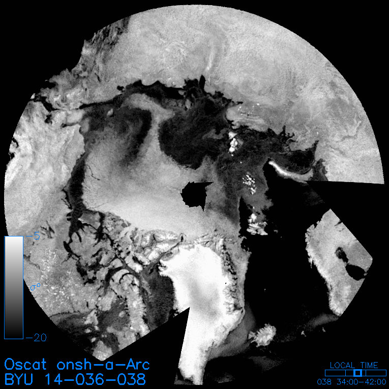
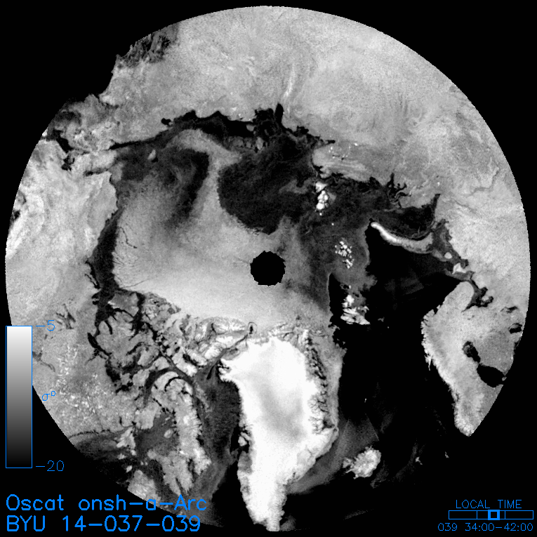
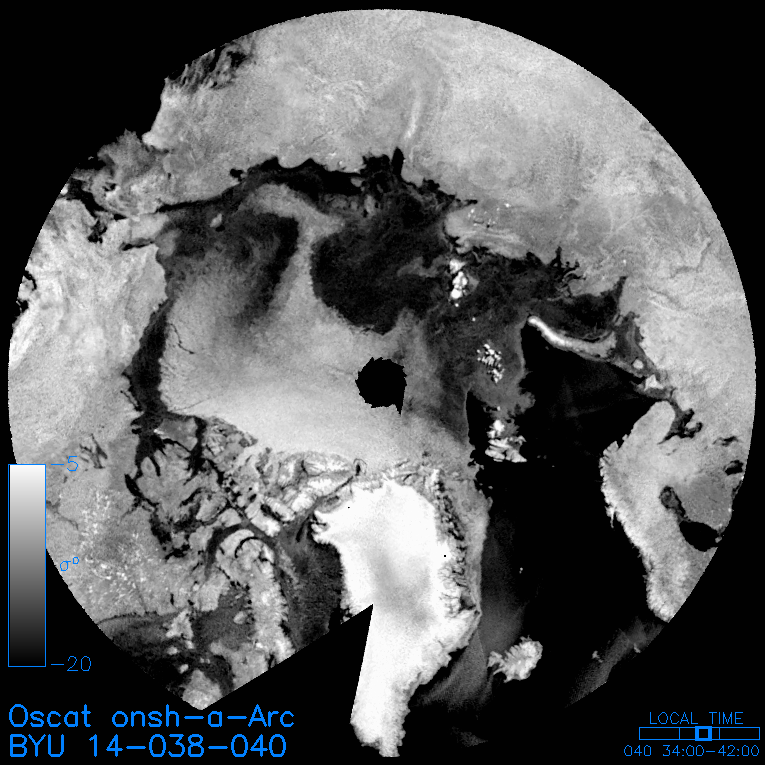
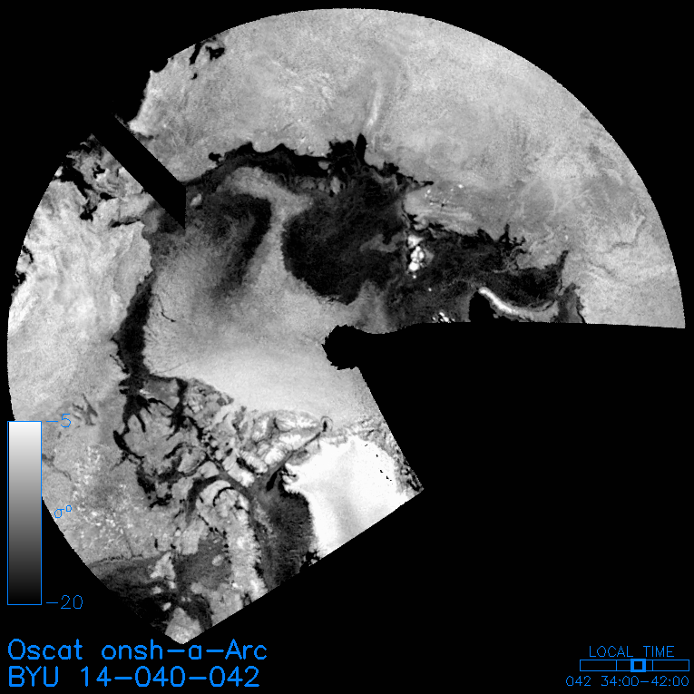
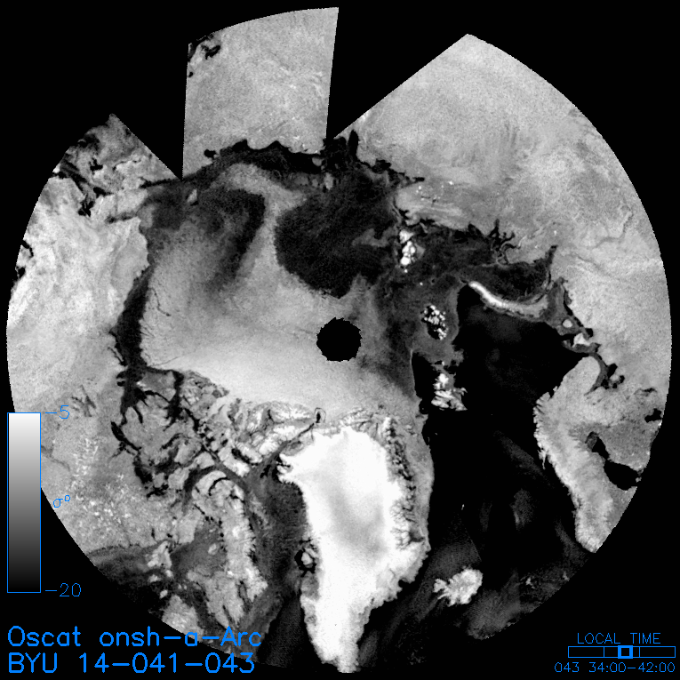
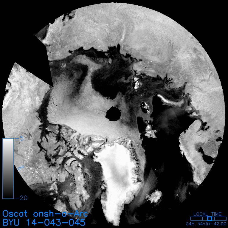
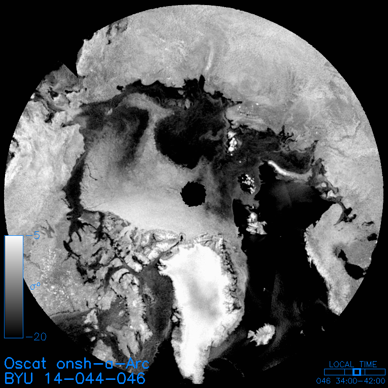
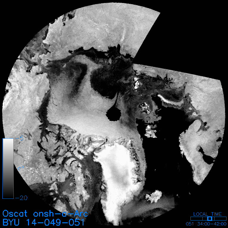
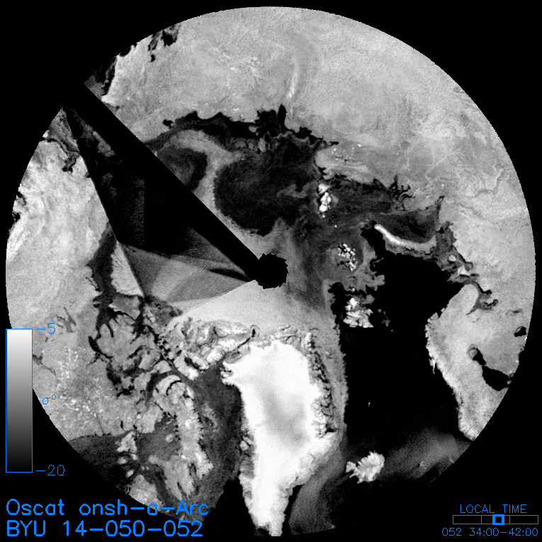
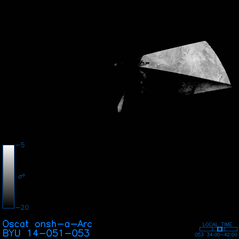
Available Version 2 Oscat Arctic (Arc) H-pol Slice mid-day pass (onsh) Images
The files in the table below are also available via https: SIR | AVE or grd
Note that sea ice extent files are listed with ouev and ousf files.
| Images: |
A=sigma-0; V=standard deviation; P=pixel time; I=incidence angle standard deviation; J=average incidence angle; C=count; E=sigma-0 error |
Reconstruction
Technique: |
Brw=browse image; SIR=sir or sirf; AVE=average image; grd=gridded data |
| File Type: | B=reduced resolution .GIF browse image; S=gzipped .SIR file |
Jump to year [2009] | [2010] | [2011] | [2012] | [2013] | [2014] | [ Bottom ]
* Most of the standard regions use conformal (equal-area) projections. For such projections, the area of each pixel is constant and equation to the nominal pixel dimension (4.45 km for egg, 2.225 km for slice .sir; 5x4.45 km for egg, 5x2.225 km for slice .grd) squared. However, polar regions use a polar stereographic projection. This projection does not have constant area pixels. For these regions, SIR-format images that contain the pixel area in square km for each pixel are provided.
Web page created: 13:42:40 07/06/17 for SCP product version 2.0
|
