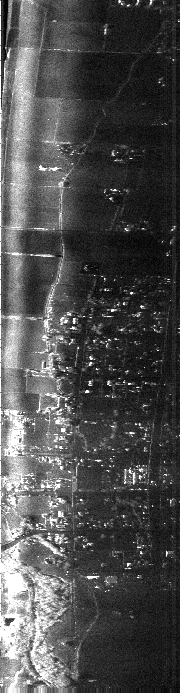
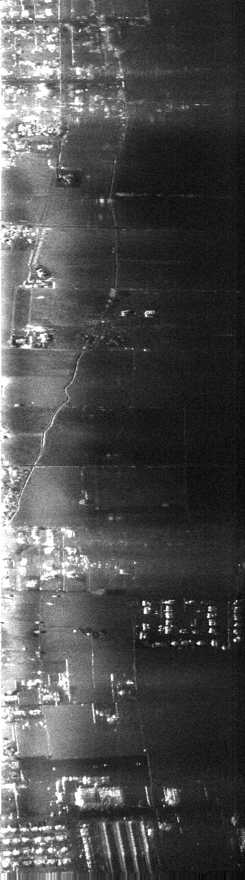
YINSAR IMAGES - Flight I (27 March 2000), Logan, Utah
The BYU Synthetic Aperature Radar Systems
Each image is approximately 500-600kB; pixels are 1m in
range (horizontal) and 2 m in azimuth (vertical)
See the note on YSAR image
interpretation and naming.
Map data indicating where each file was collected, as
well as various resolutions, can be found in the auto-generated
web page.
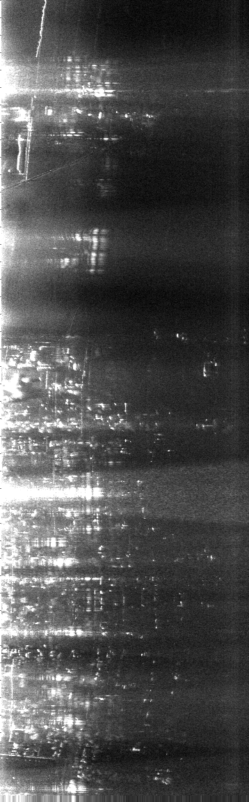
Pass 1434
Pass 1437
Pass 1439 Pass 1440
Pass 1442 Pass 1444
Pass 1447 Pass 1449
Pass 1451 Pass 1453
Pass 1455 Pass 1457
Pass 1459 Pass 1501
Pass 1503 Pass 1504
Pass 1507 Pass 1511
Pass 1513 Pass 1518
Pass 1519 Pass 1521
Pass 1523 Pass 1525
Pass 1527 Pass 1529
Pass 1531 Pass 1534
Pass 1536
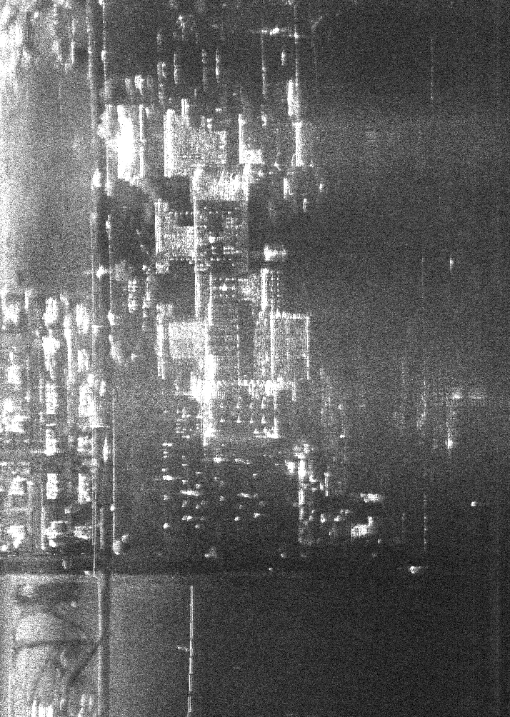
Pass 1538 (we
think we recognzie the Logan temple halfway down this one)
Pass 1539
Pass 1543 Pass 1545
Pass 1547 Pass 1549
Pass 1551 Pass 1554
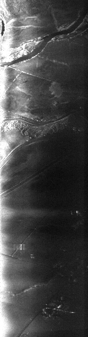
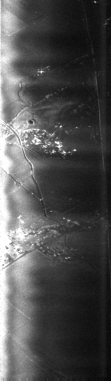
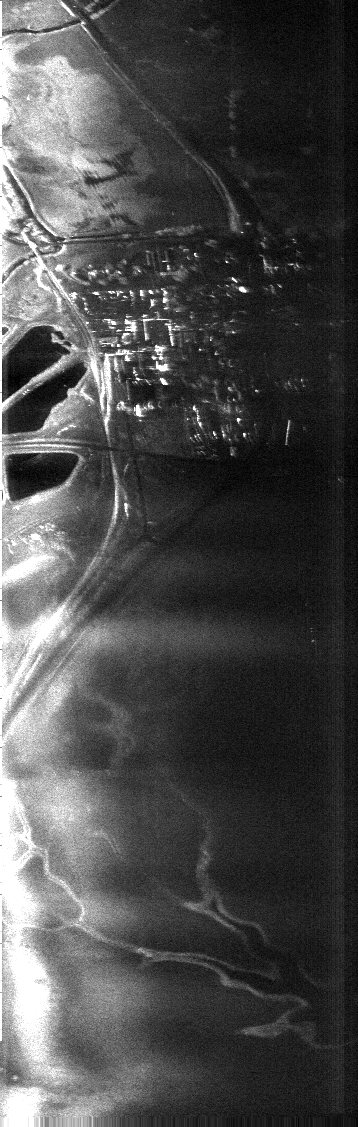
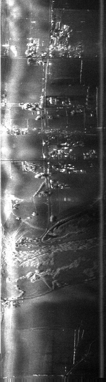
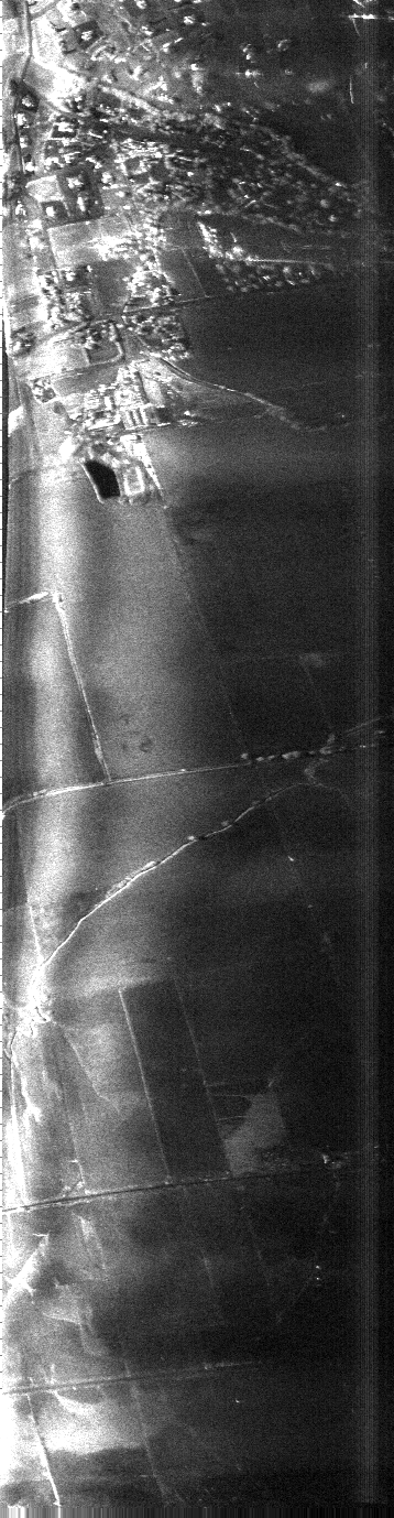
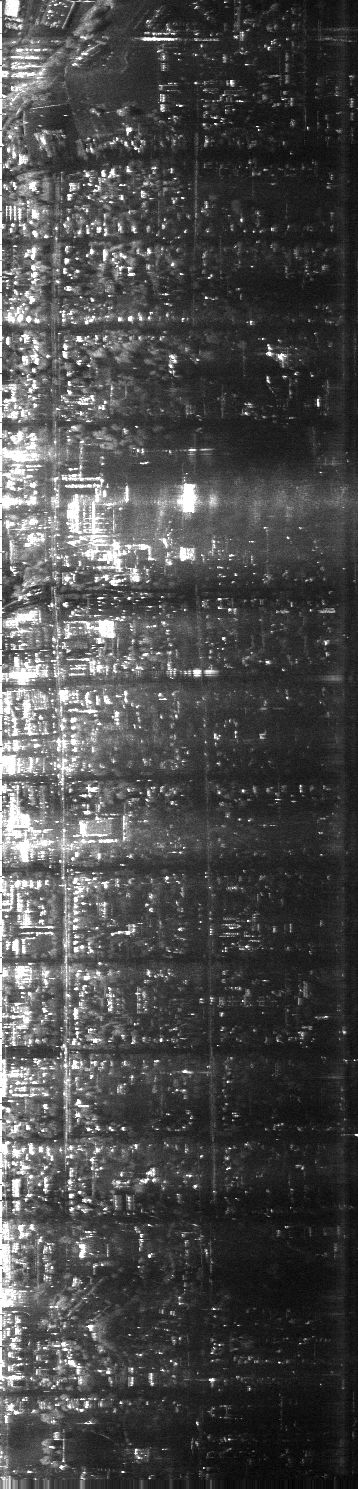
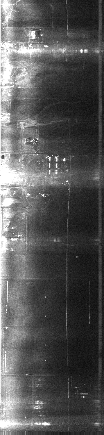
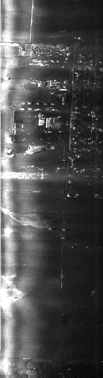
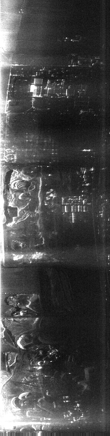
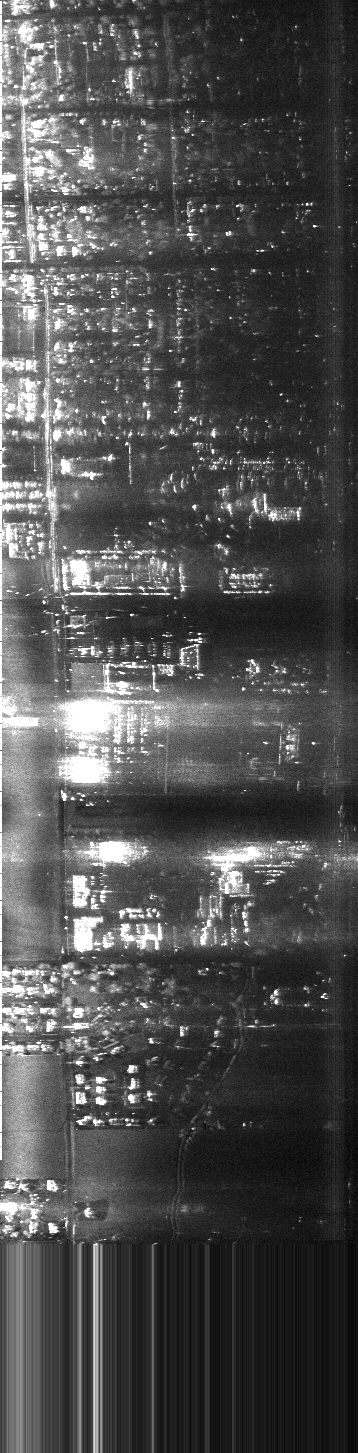
High Resolution Images
Here are some higher-resolution images, with pixels approximately
0.6m on each side. Note that SAR images are inherently grainy (the
technical SAR term is speckle). The averaging involved in making
the lower resolution images above decreases the graininess.
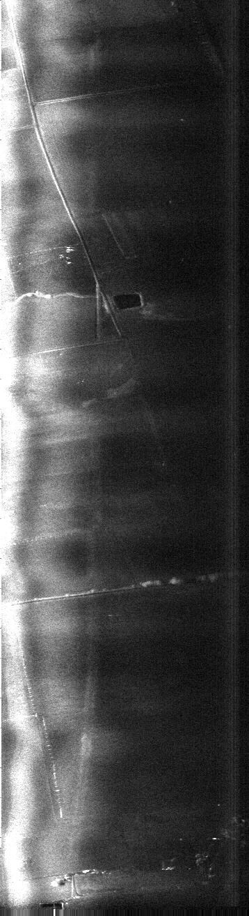
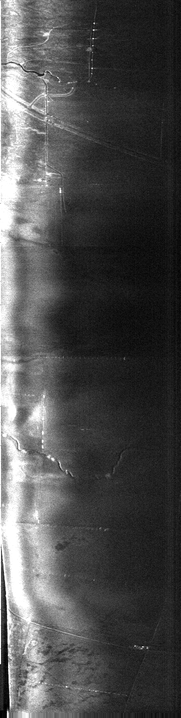
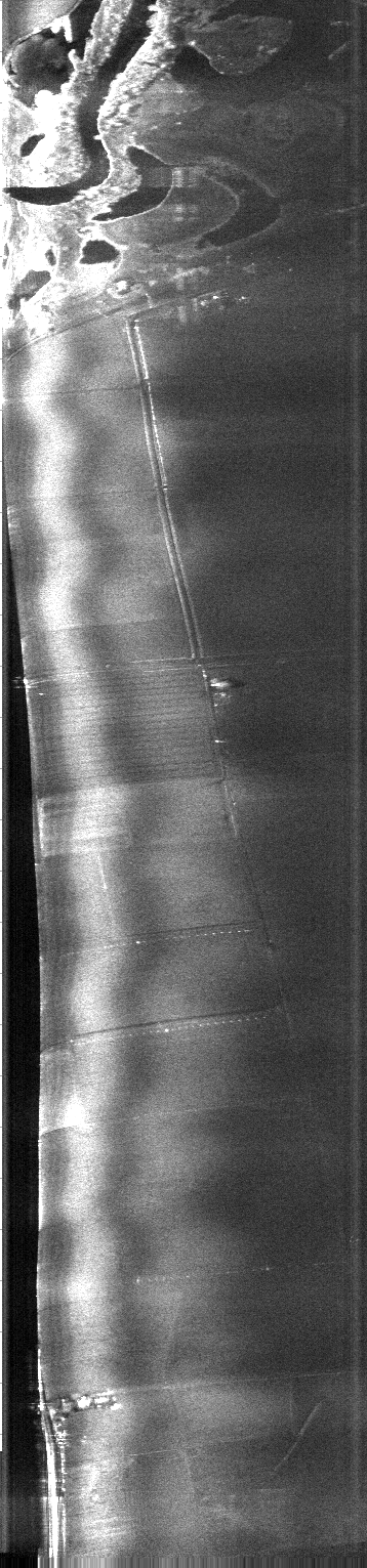
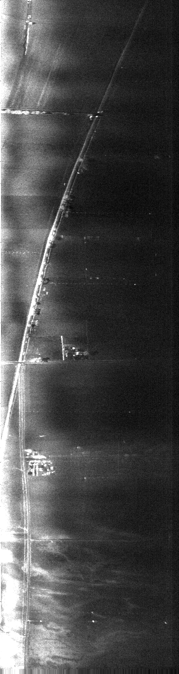
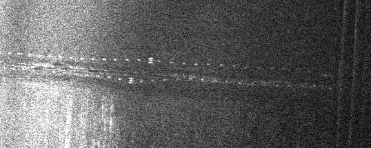
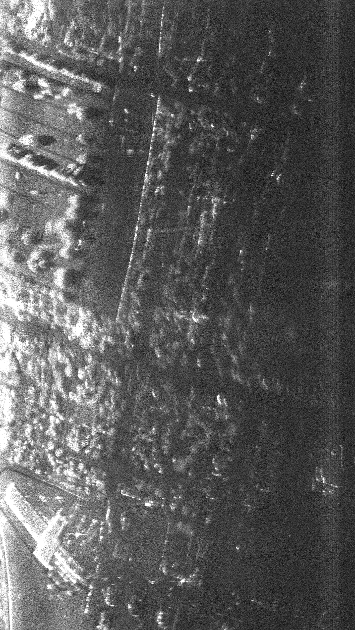
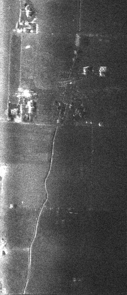
A pair of wheel lines (those
long lines of sprinklers all connected, which move on a set of wheels)
(147kB)
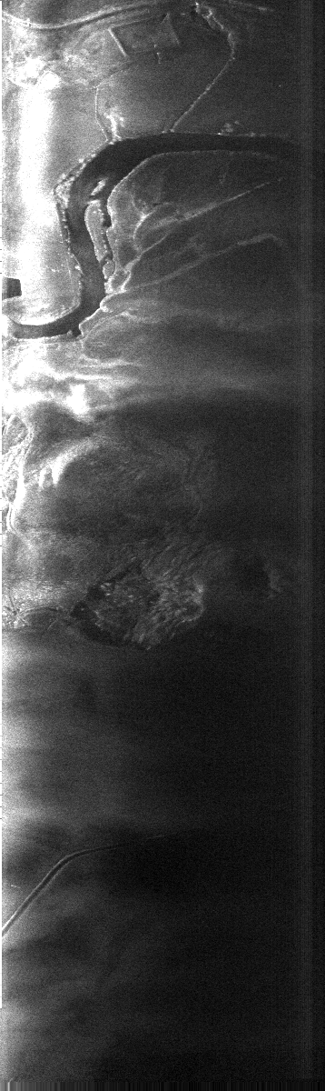
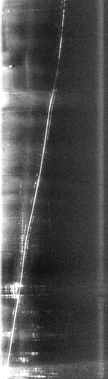
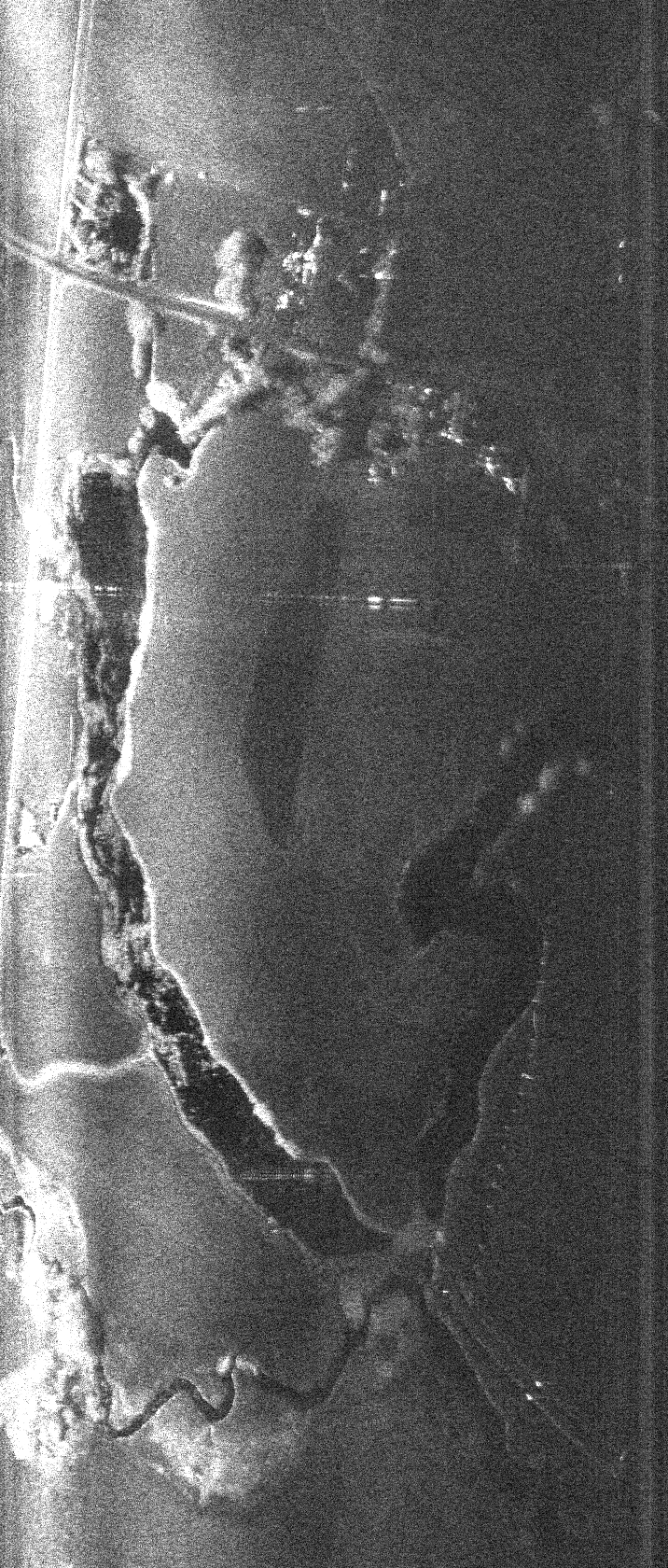
A nice view of a bend in
the river (1.6MB)
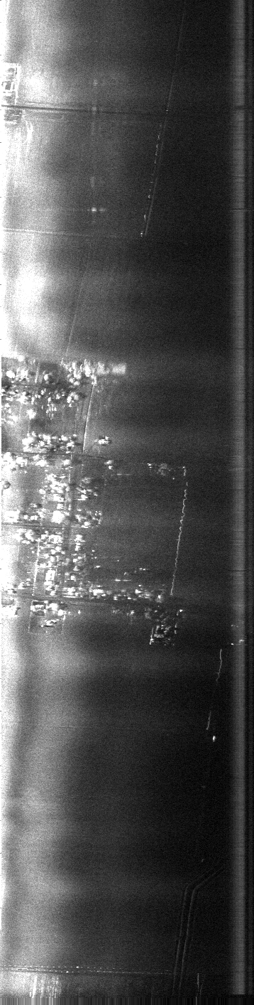
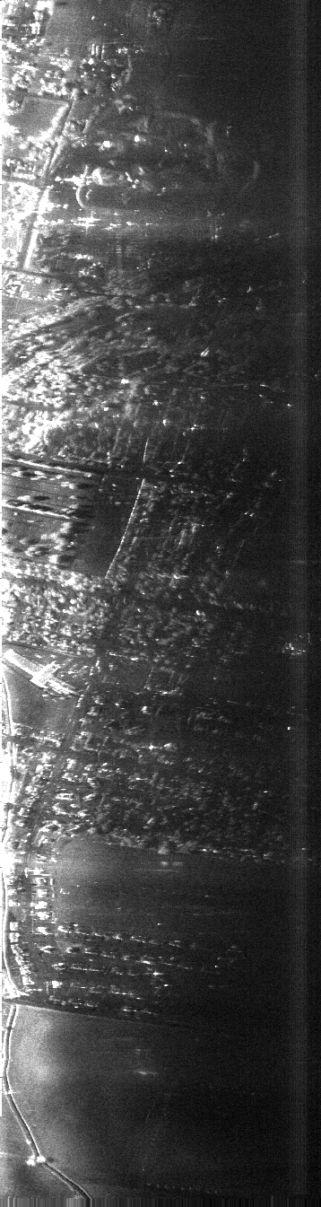
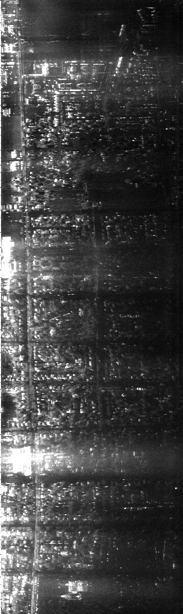
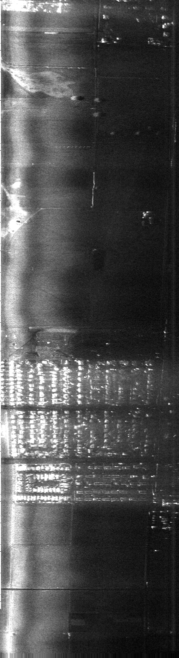
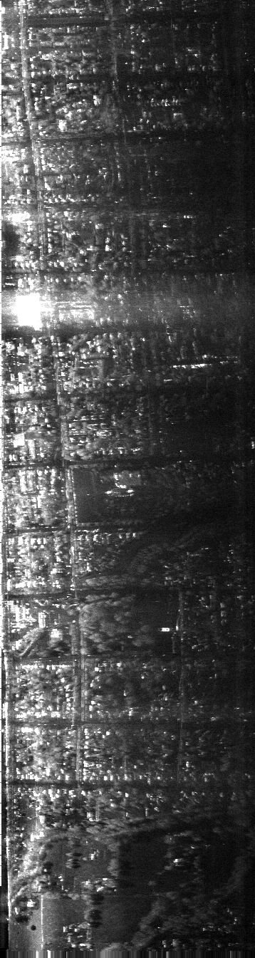
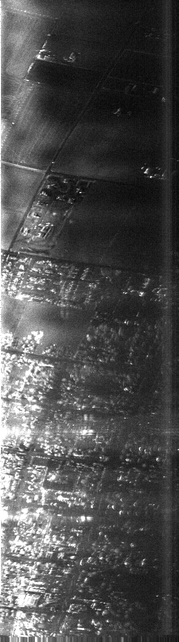
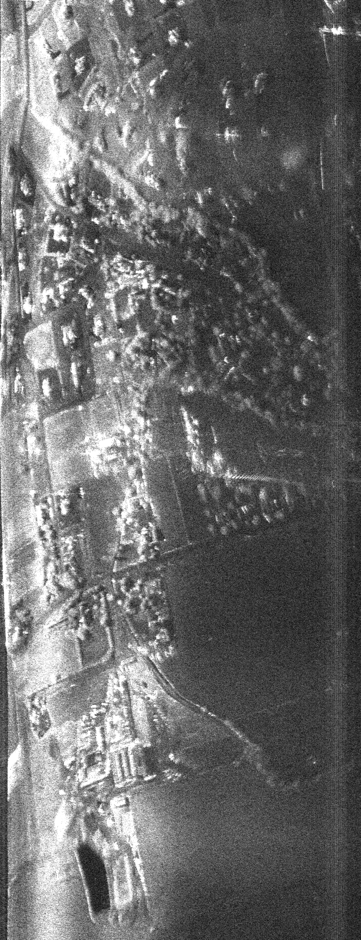
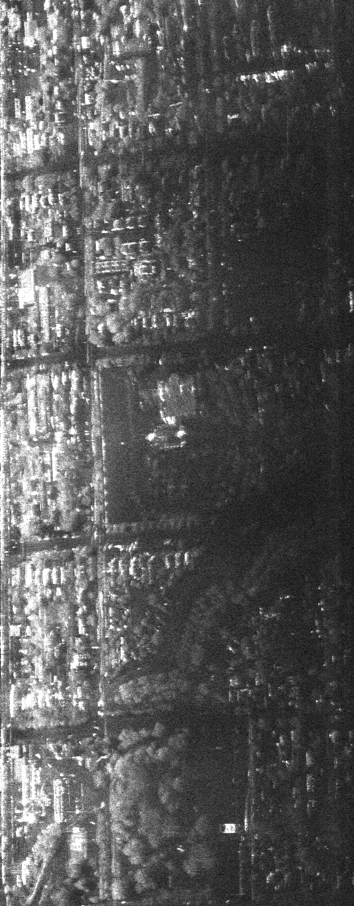
A little neighborhood in
Logan (1.1MB)
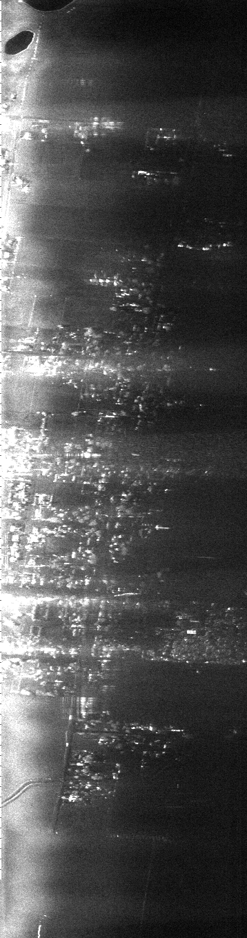
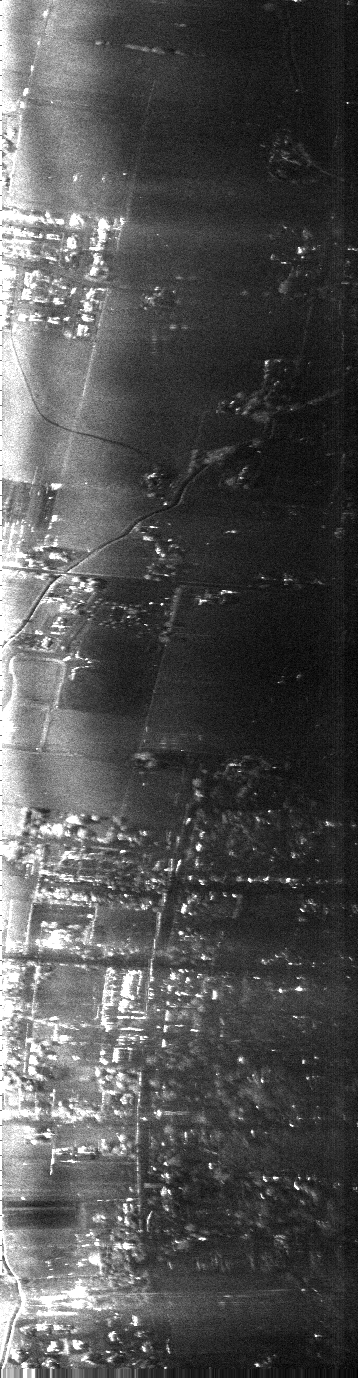
Another cute little neighborhood
(1.6MB)
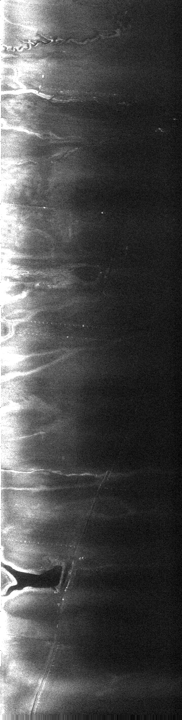
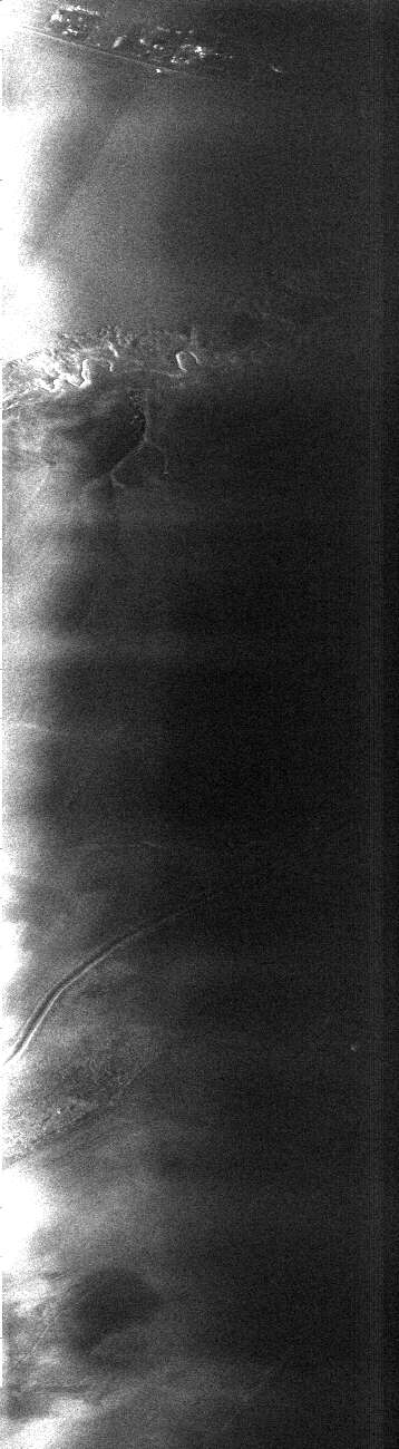
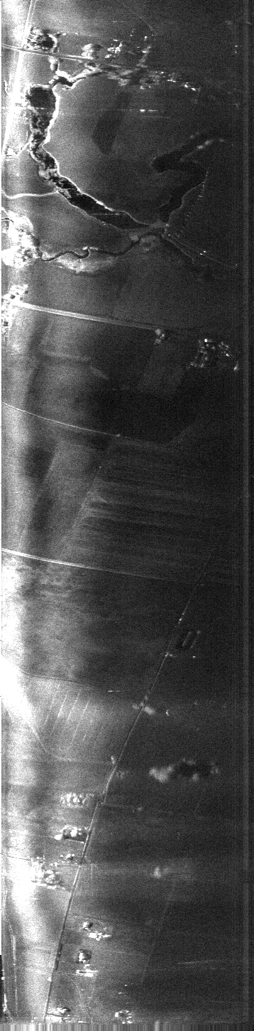
A marshy area of the river
(the dark areas are water, and the light fuzz in the water is vegetation)
(1.5MB)
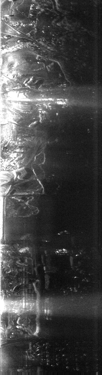
We think this is Romney Stadium
at USU (870kB)
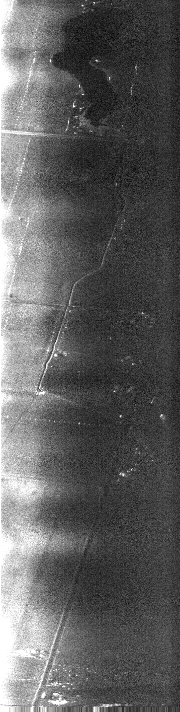
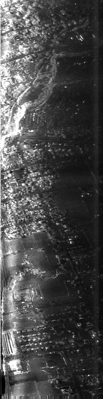
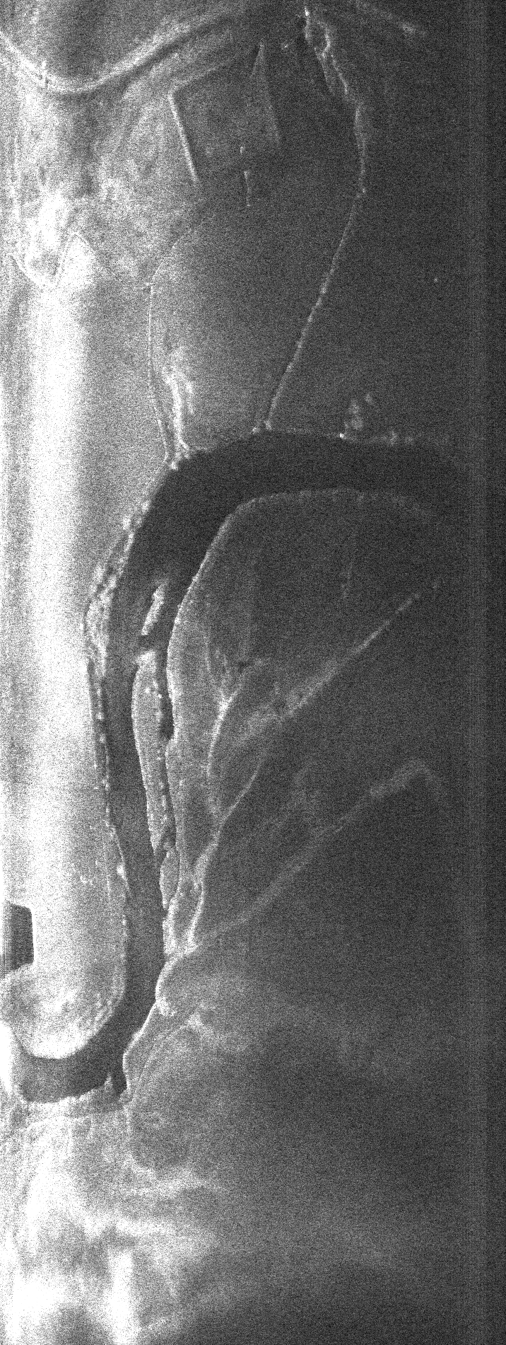
This is the Logan temple
and the area around it (1.5MB)
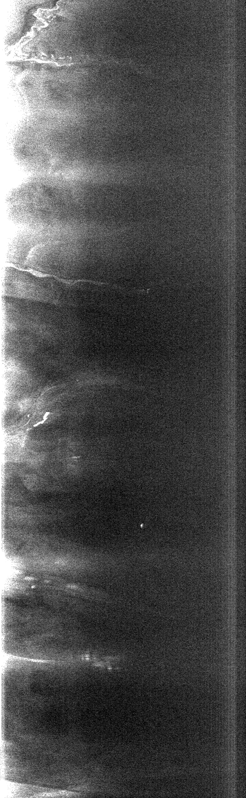
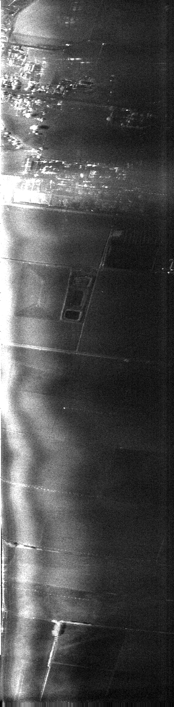
A rural area with a stream
or canal running through it (853kB)
|
