
| News | |
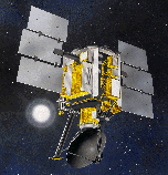
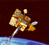
| QuikScat | |
| NSCAT | |
| YSCAT | |
| SAR Research | |
| SCP | |
| CERS | |
| Jason-1 | |
| Publications | |
| Software | |
| Studies | |
| Lab Resources | |
| Group Members | |
| Related Links | |
| Contact Us | |
| Getting to BYU | |
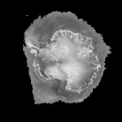
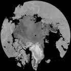
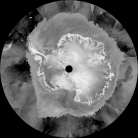
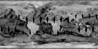
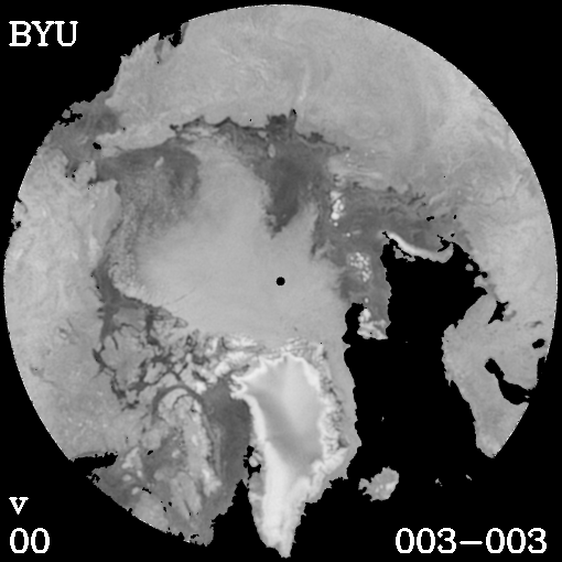
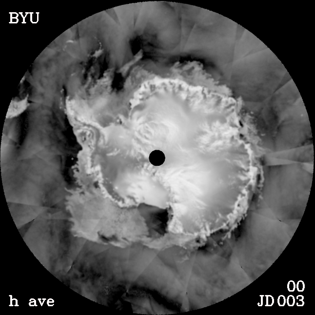
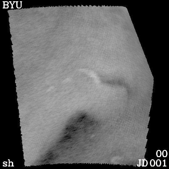
The MERS research group has been actively involved in polar research in the northern and southern hemisphere. As part of these studies the Seawinds scatterometer on QuikScat (QSCAT) data has been processed with the Scatterometer Image Reconstruction (SIR) algorithm. This algorithm was developed by the MERS lab to generate enhanced resolution scatterometer imagery. SIR generates 'A' images. The resolution of the resulting images is as fine as ~4-5 km for QSCAT. Previous techniques were limited to the intrinsic resolution (typically 25 km) of the scatterometer.
All movies are made using QSCAT images unless otherwise
specified.
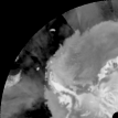
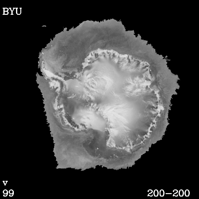
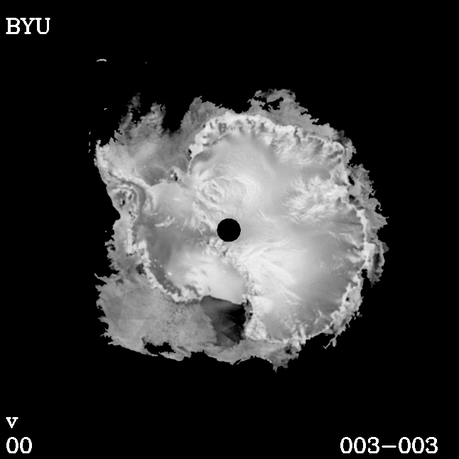
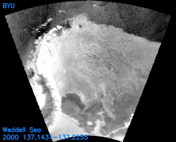
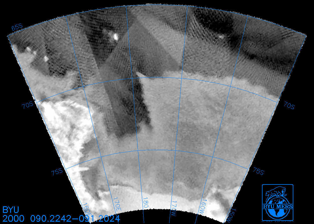
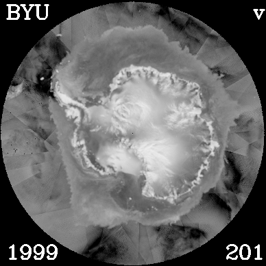
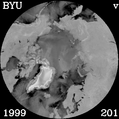
QSCAT Antarctic Images And Movies While satellite microwave radar scatterometers were originally designed to measure winds over the ocean from space, they can also be useful in polar ice studies. Using the Scatterometer Image Reconstruction with Filtering (SIRF) resolution enhancement algorithm we have generated a time series of radar images of the Antarctic region. New methods for mapping the spatial extent and ice type have been developed for use with QSCAT data. The results enable study of the dynamics of the sea-ice sheet and permit multidecadal studies of change by comparison with previous scatterometers. The broad coverage, dual-pol measurements, and high resolution of QSCAT yield very high quality images. Microwave radar mitigates the need for optimal meteorological conditions and solar illumination which can hamper optical sensors. The radar scattering signal provides insight into characteristics of the ice which can not be inferred from optical images. In particular, the microwave images depend on both surface roughness and the electrical properties, which vary for different ice types, enabling the retrieval of ice characteristics from the radar data. Knowledge of the ice characteristics is of crucial import in modeling the interaction of the ocean and atmosphere in the polar regions and in evaluating the Earth's heat balance. Sea-ice cover also influences the production of Antarctic Bottom Water, a crucial factor in global ocean circulation. QSCAT makes measurements at both vertical and horizontal electrical polarization. Sea-ice has a nearly isotropic response while the ocean exhibits a very directional response which is ordinarily used to determine the direction of the wind blowing over the surface. While the sea-ice evolves on time scales of days to weeks, winds over the ocean can change on hourly time scales. Using images of the vertical and horizontal radar response and the temporal variation in the radar response over a several day period, the spatial extent of the sea-ice can be mapped. The resulting ice edge compares favorably with passive microwave ice maps but has higher spatial resolution and precision. |

