
| Home Page | |
| FAQ | |
| Publications | |
| Documentation | |
| Software | |
| Related Links | |
| Images & Movies | |
| Data | |
| Contact Us | |
| SCP file site | |
The files in the table below are also available via https: SIR | AVE or grd
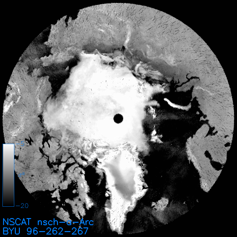
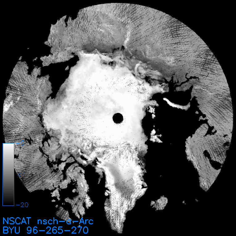
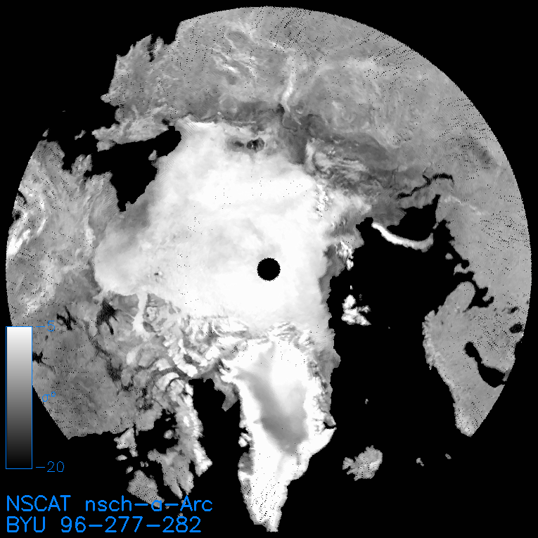
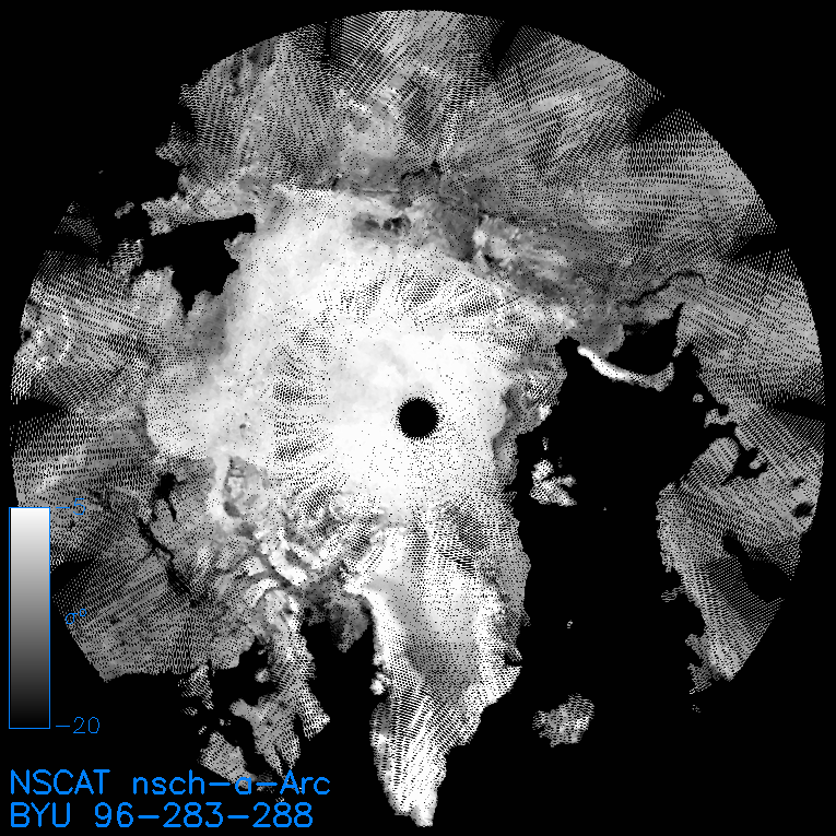
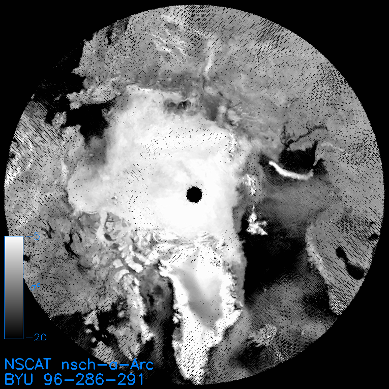
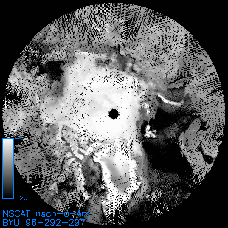
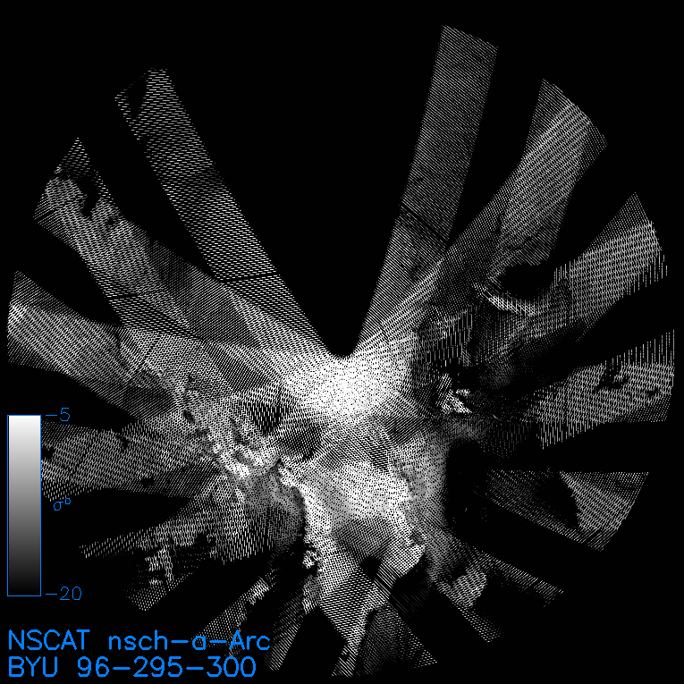
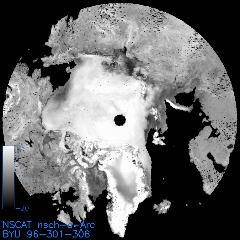
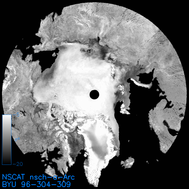
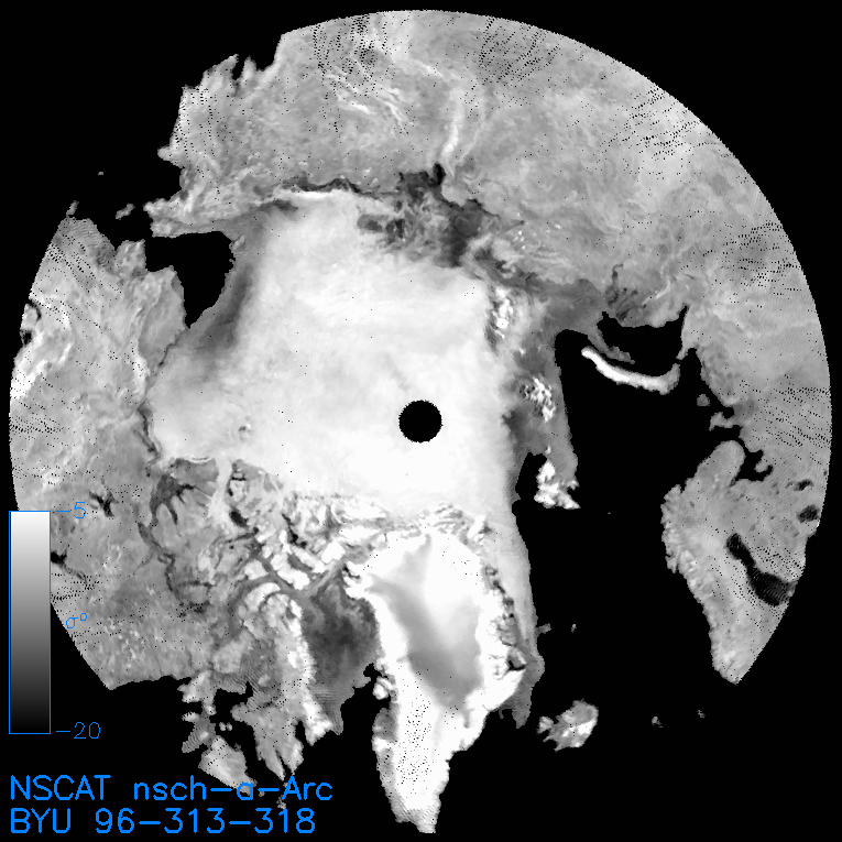
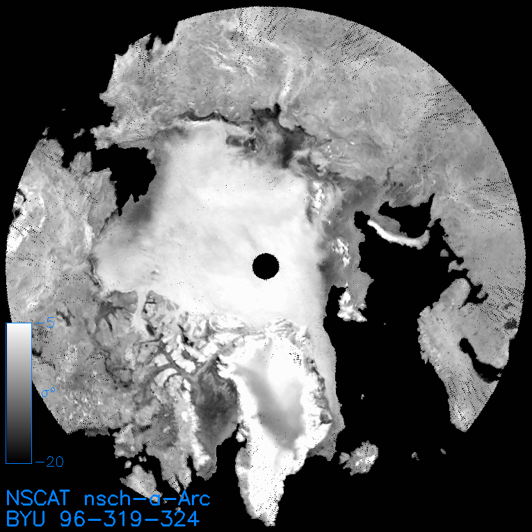
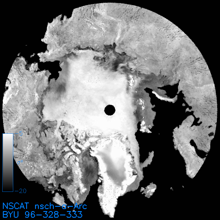
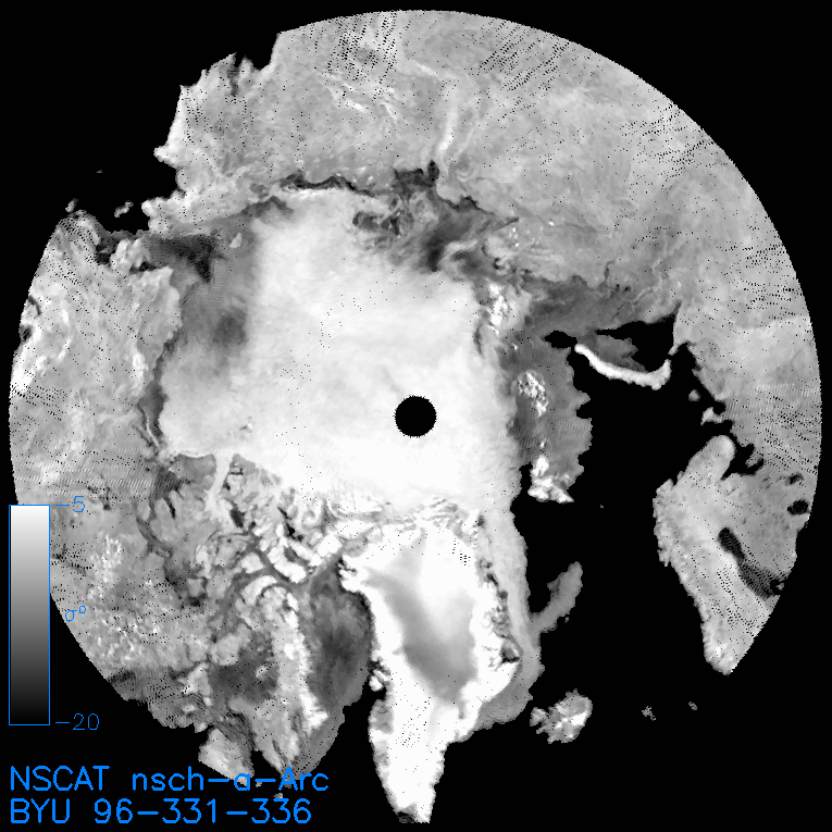
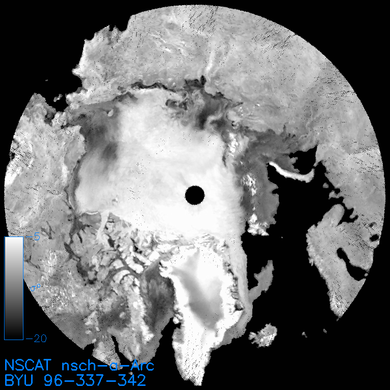
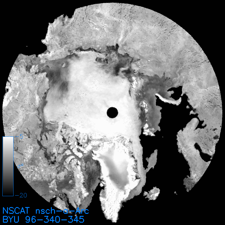
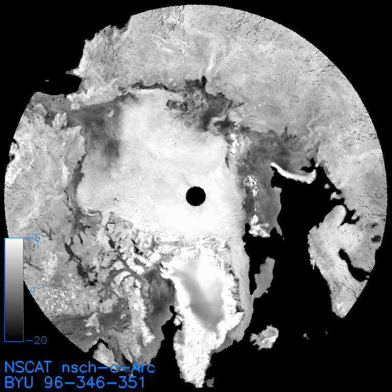
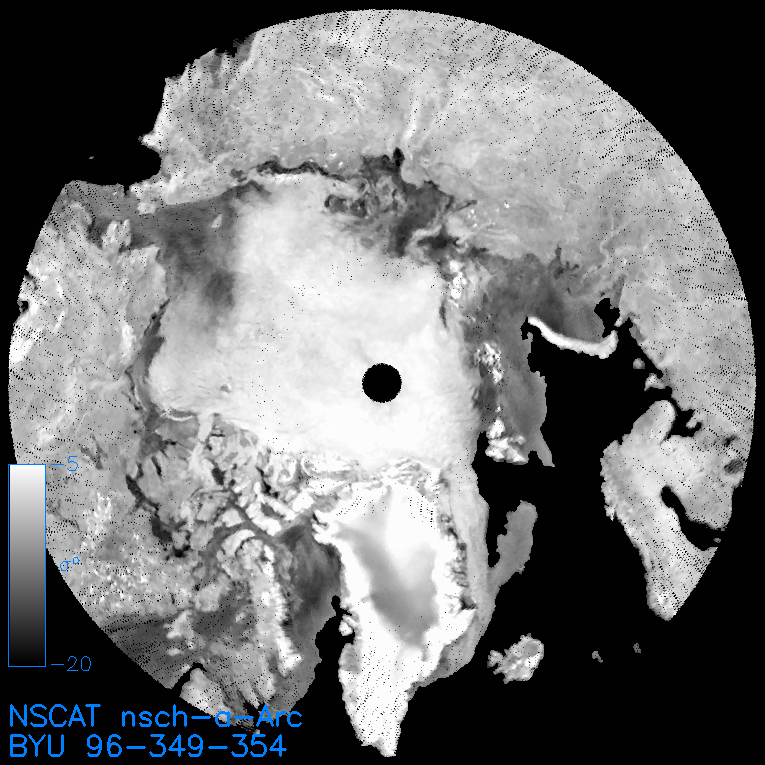
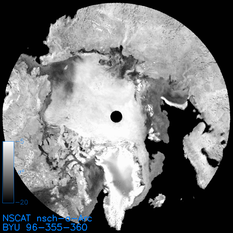
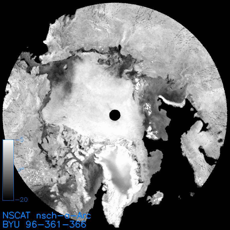
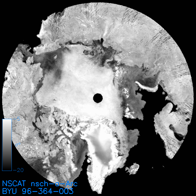
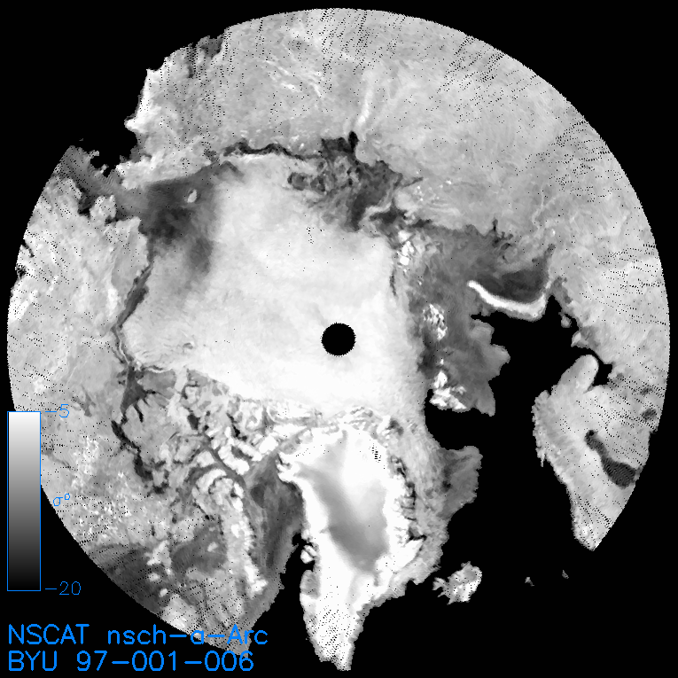
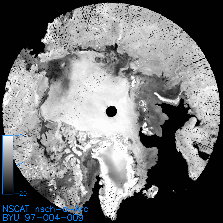
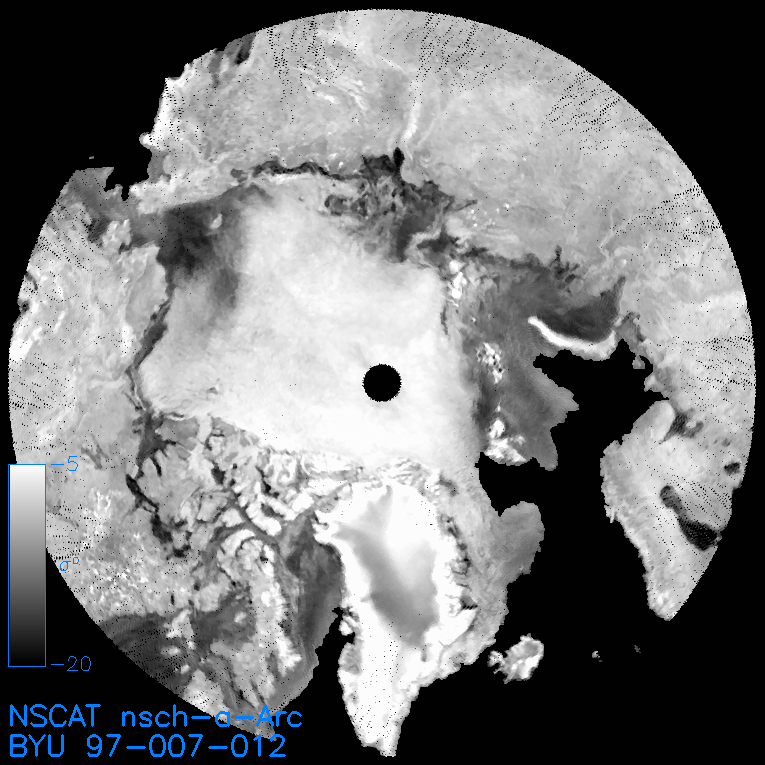
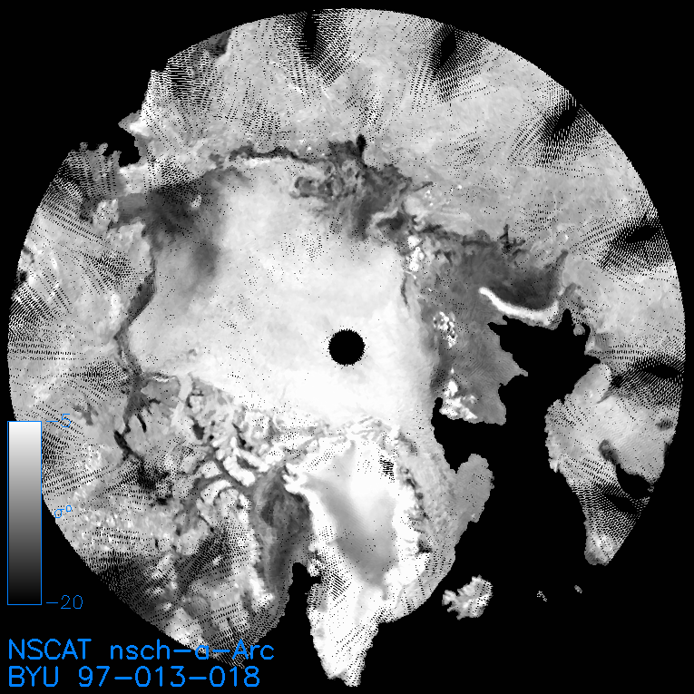
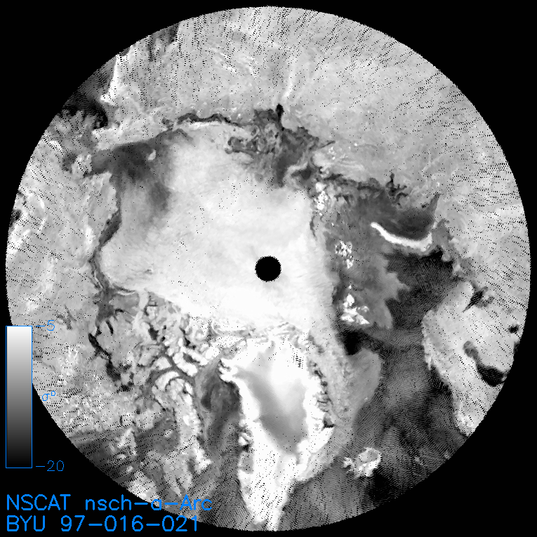
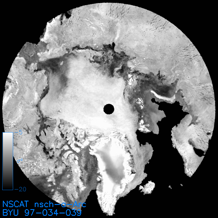
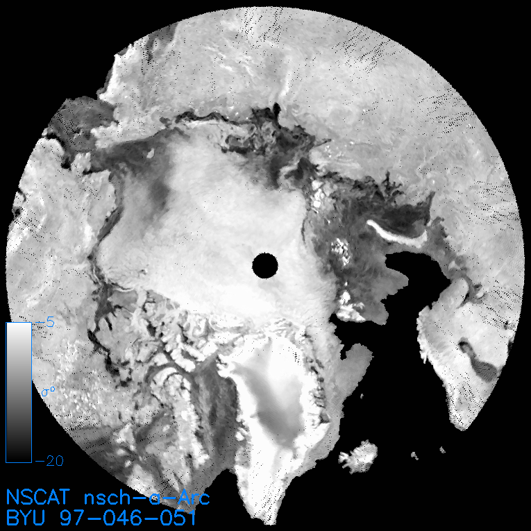
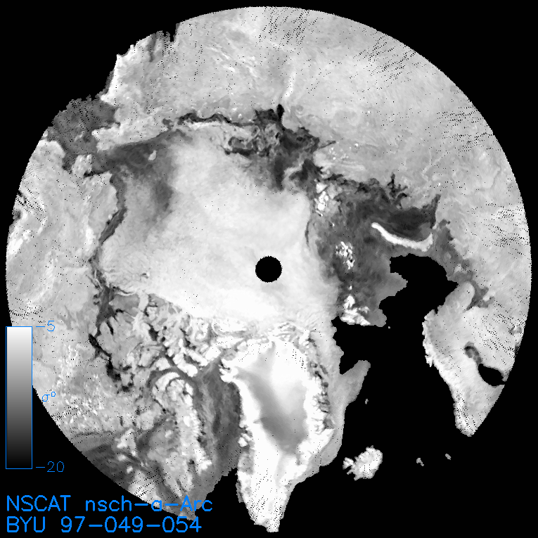
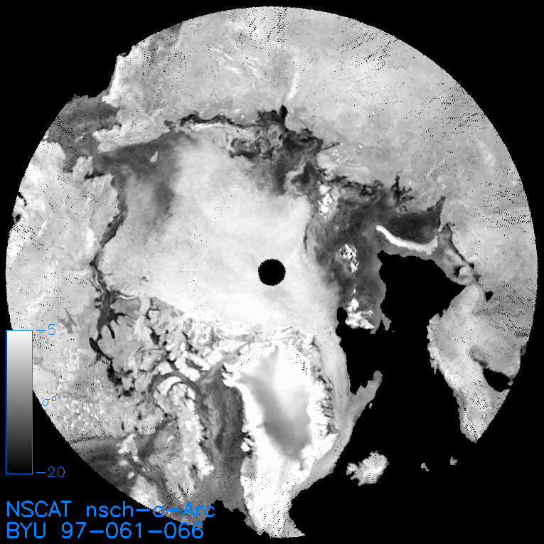
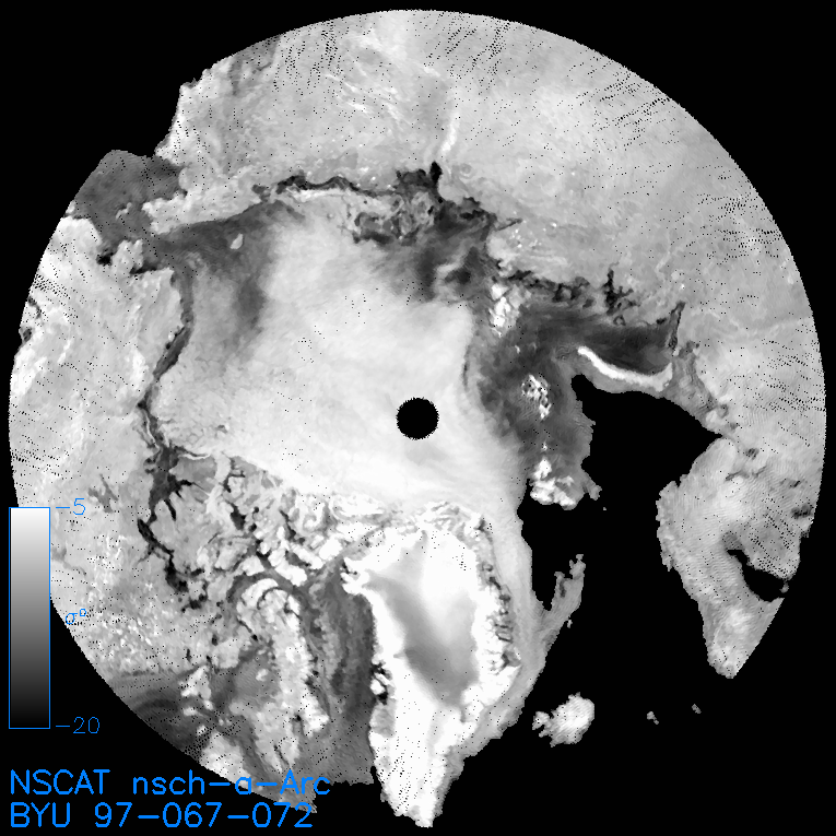
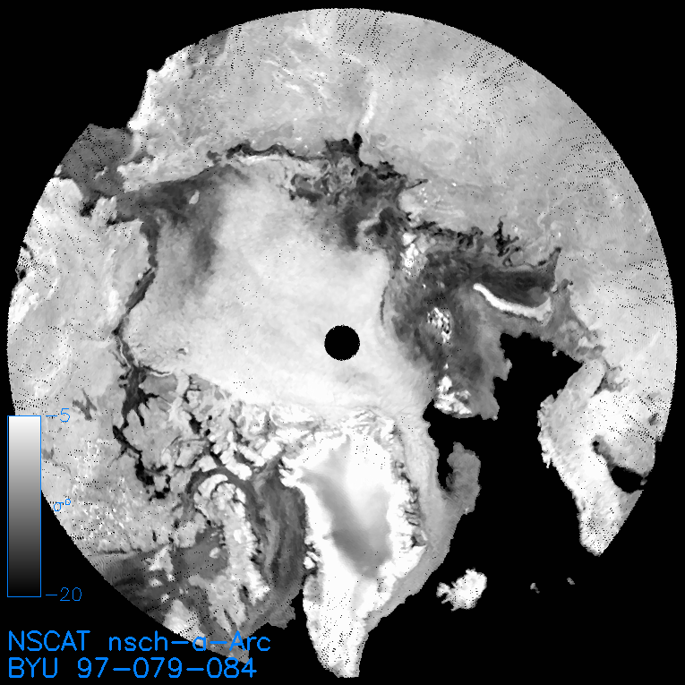
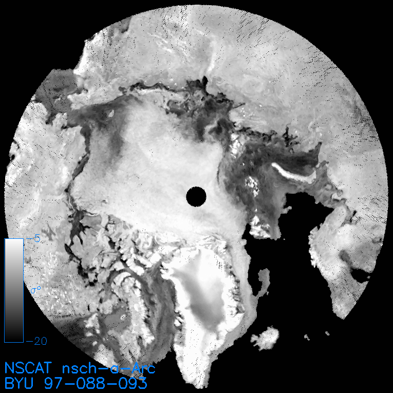
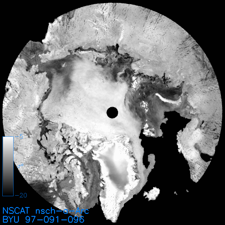
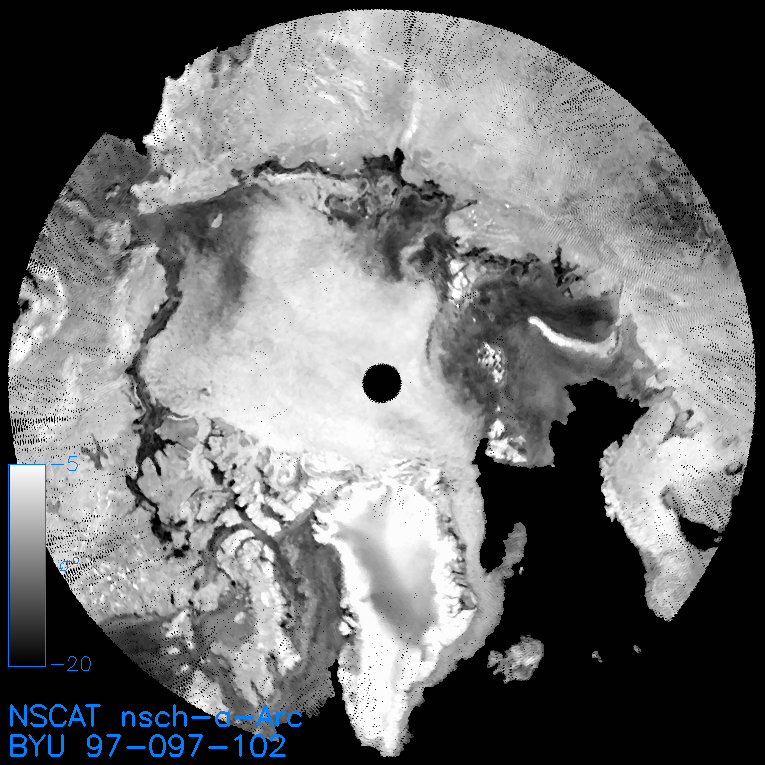
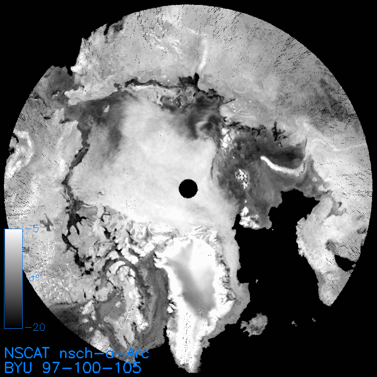
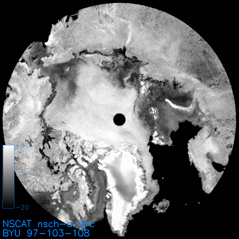
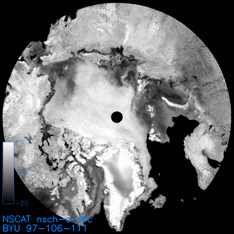
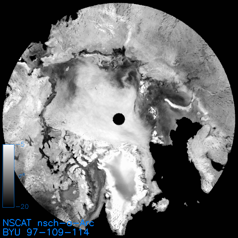
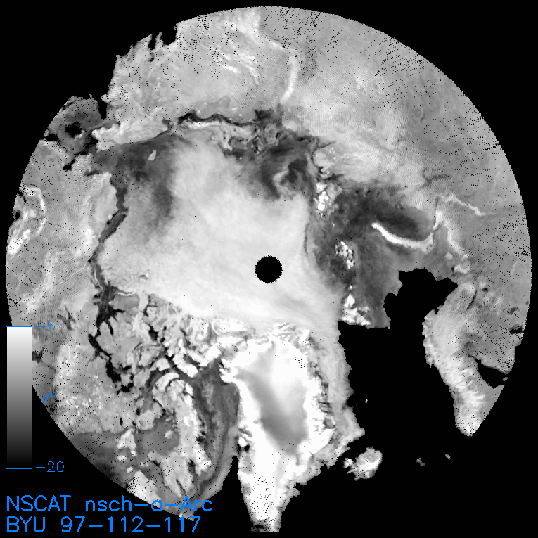
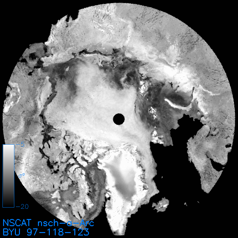
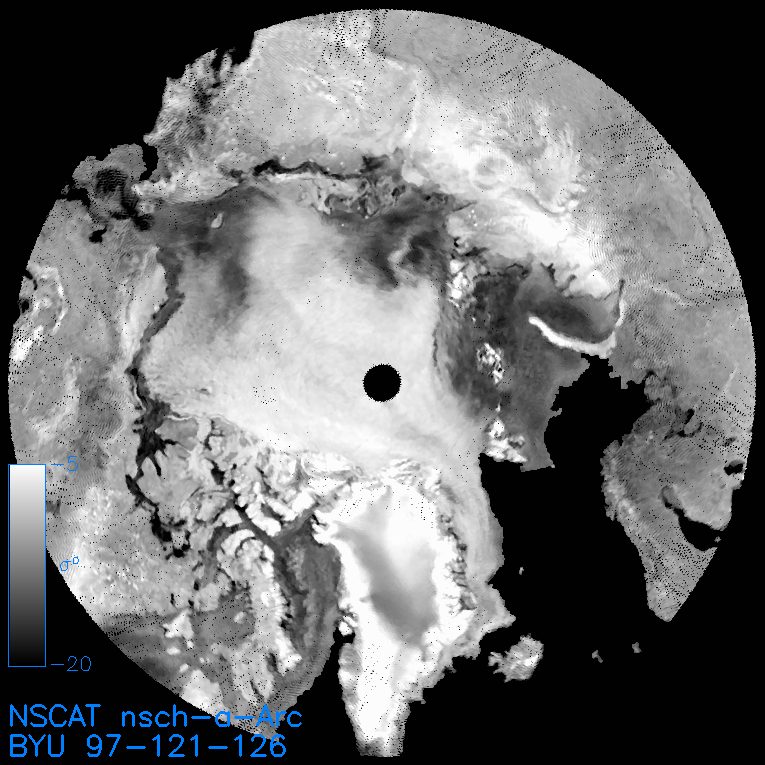
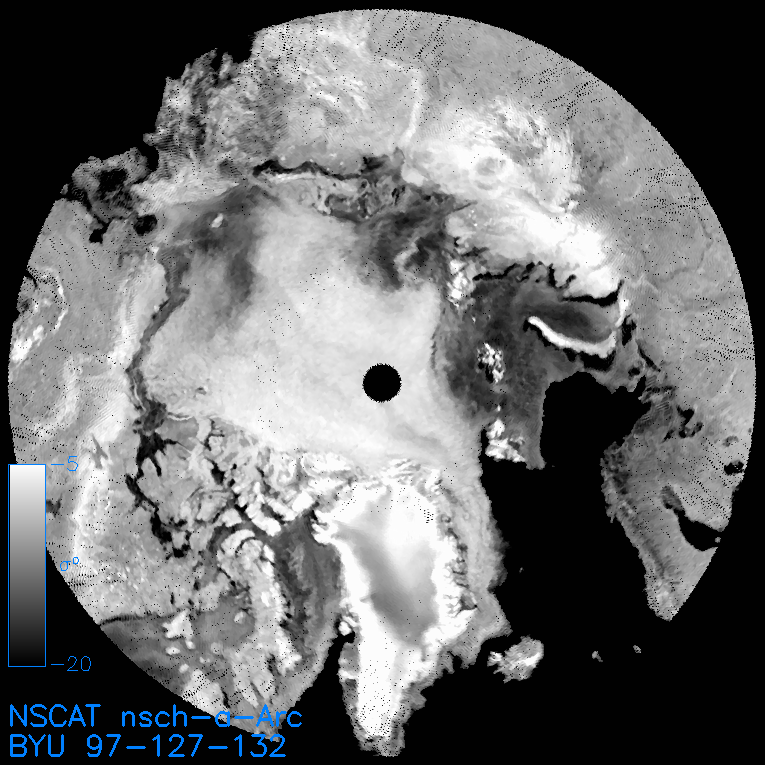
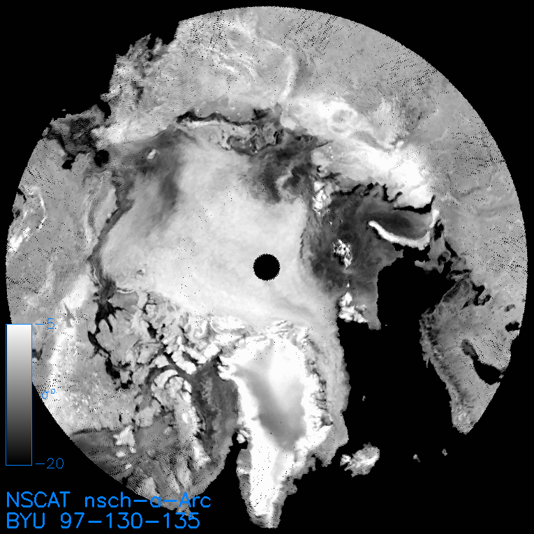
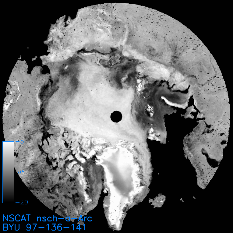
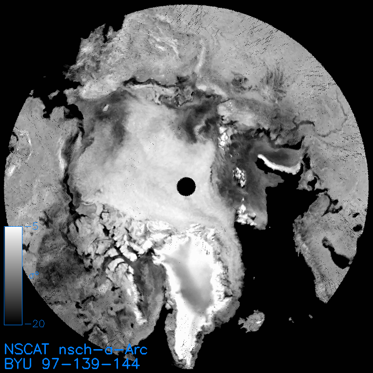
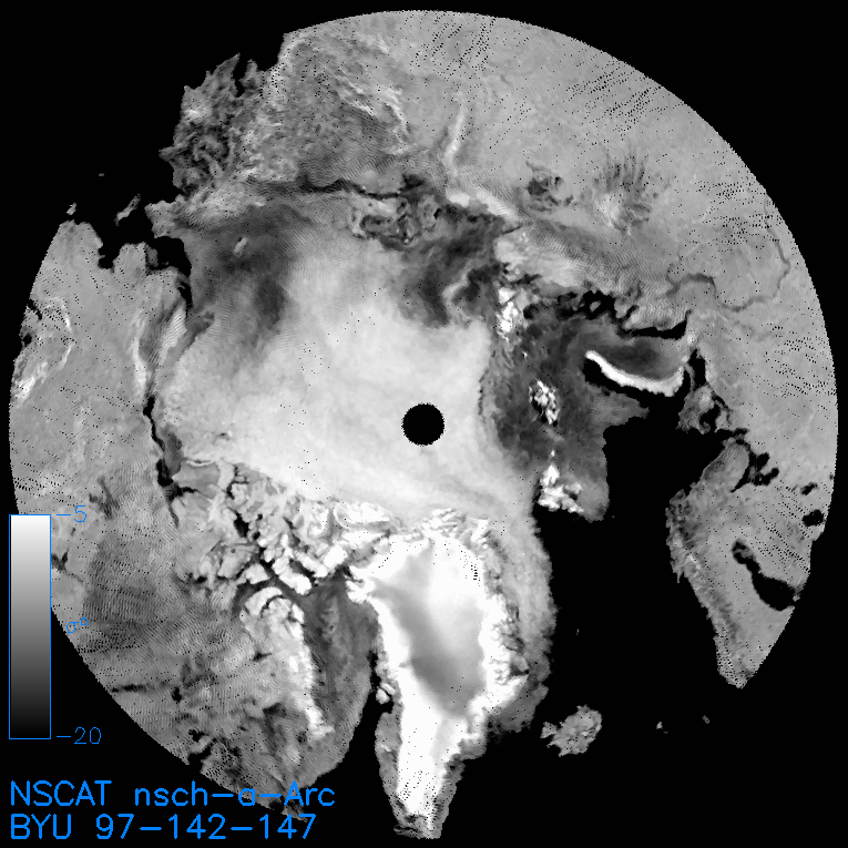
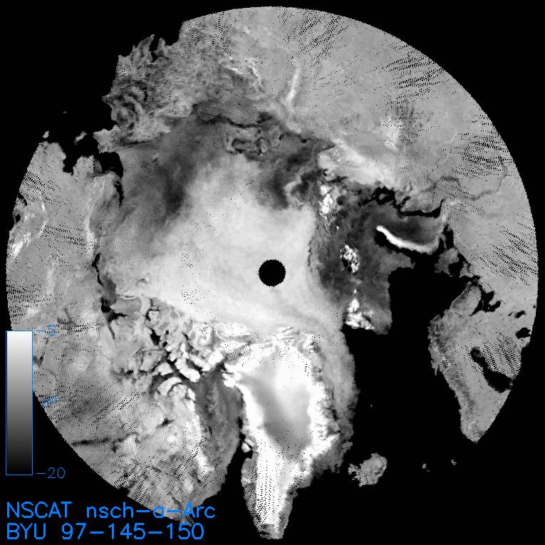
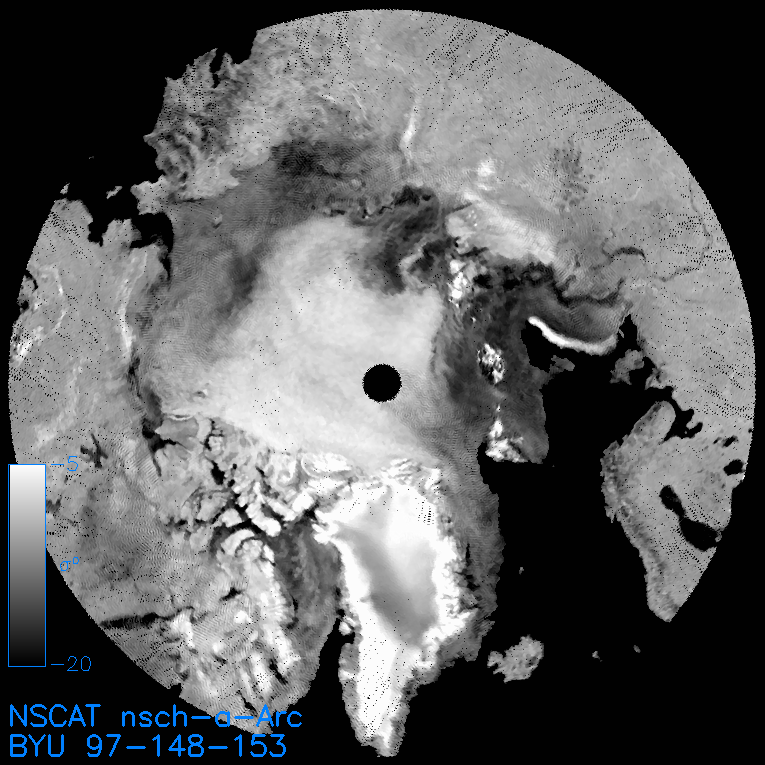
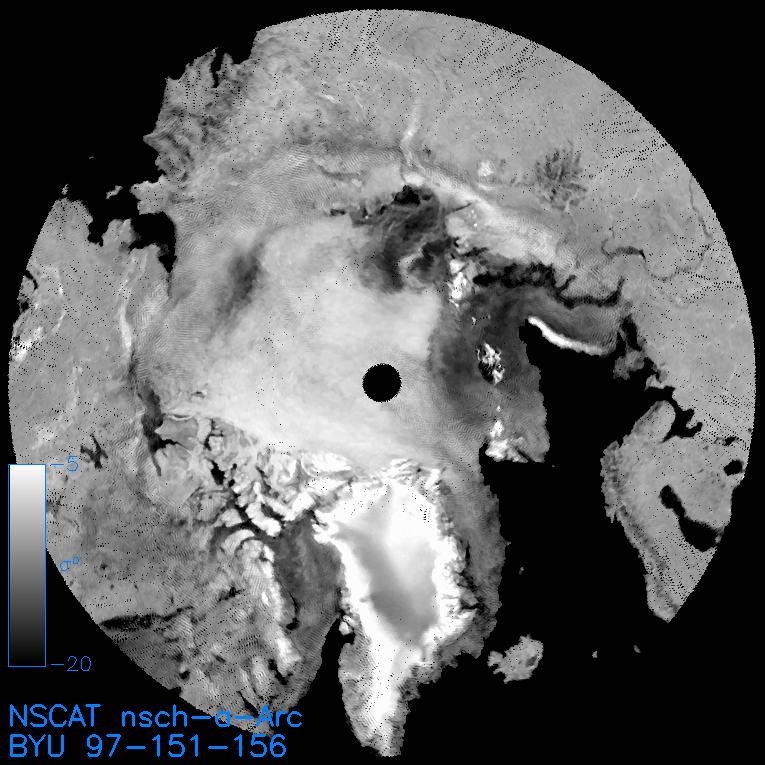
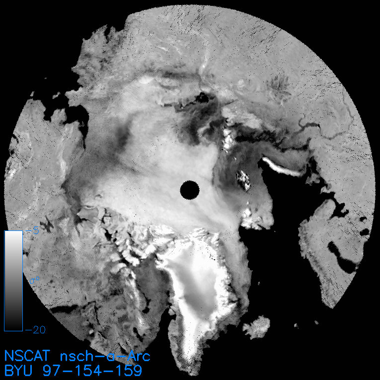
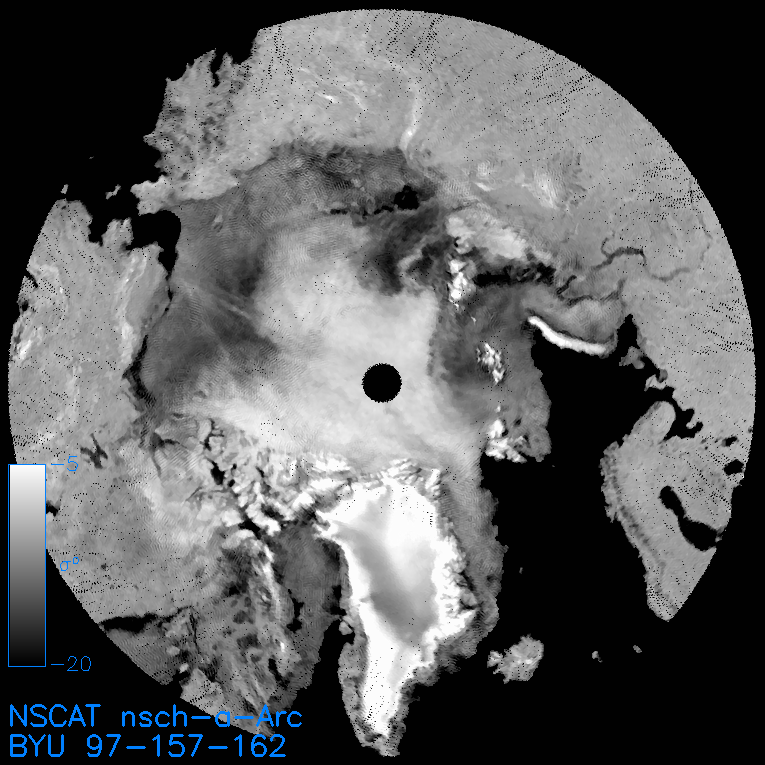
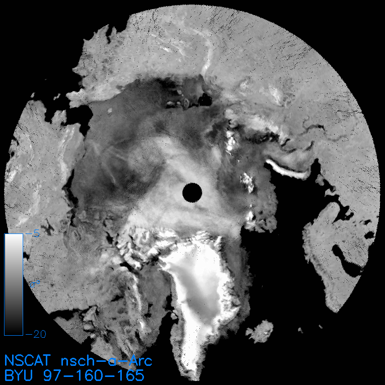
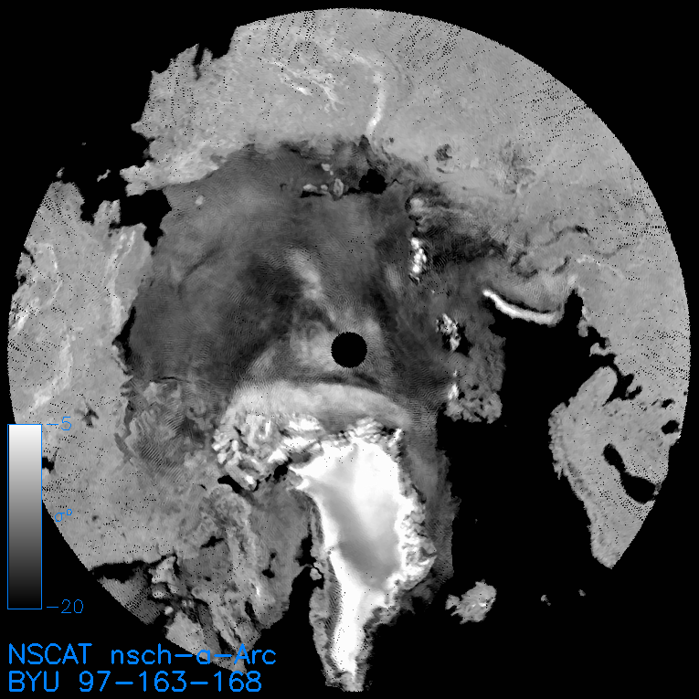
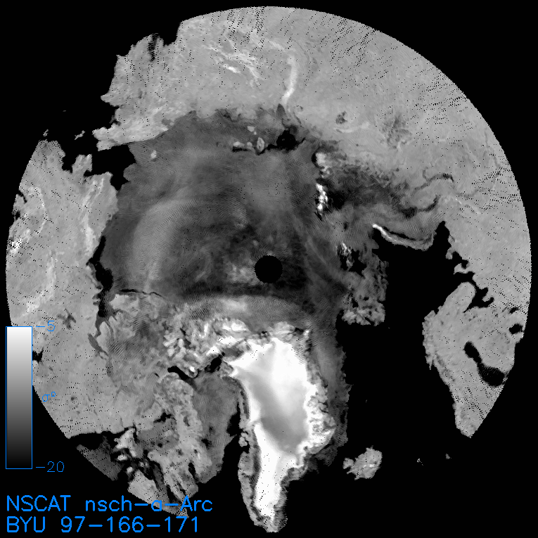
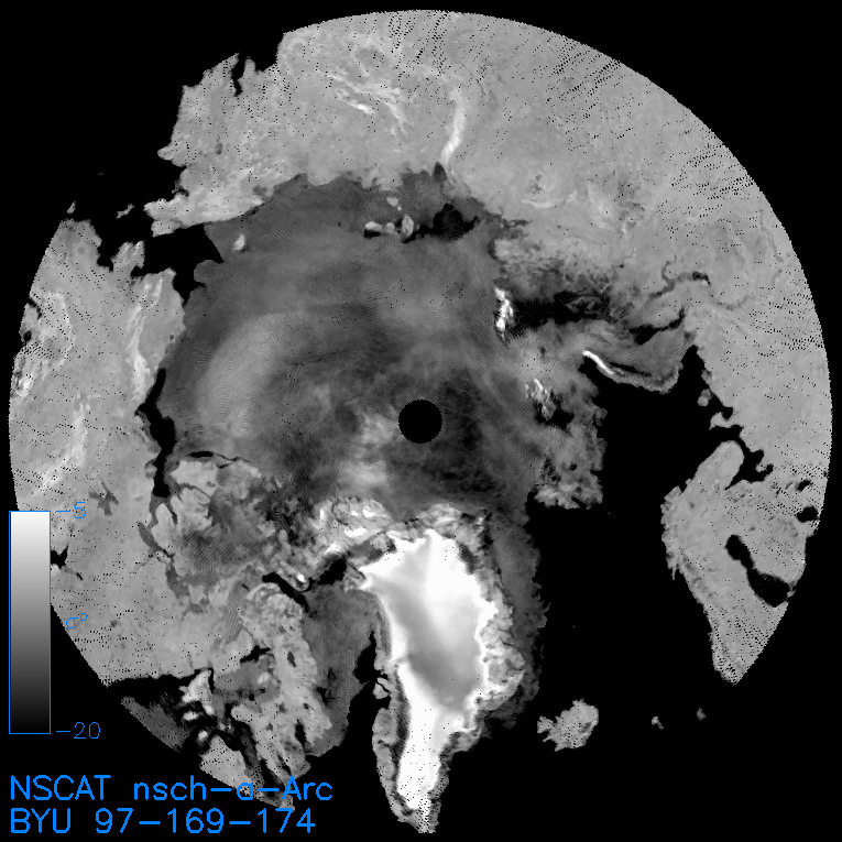
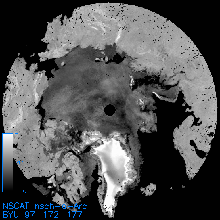
* Most of the standard regions use conformal (equal-area) projections. For such projections, the area of each pixel is constant and equation to the nominal pixel dimension (4.45 km for NSCAT .sir, 5x4.45 km for NSCAT .grd) squared. However, polar regions use a polar stereographic projection. This projection does not have constant area pixels. For these regions, SIR-format images that contain the pixel area in square km for each pixel are provided.
Questions or Comments: email Scatterometer Climate Record Pathfinder Web page created: 22:27:42 07/02/02 for SCP product version 1.0 | |||||||||||||||||||