
| Home Page | |
| FAQ | |
| Publications | |
| Documentation | |
| Software | |
| Related Links | |
| Images & Movies | |
| Data | |
| Contact Us | |
| SCP file site | |
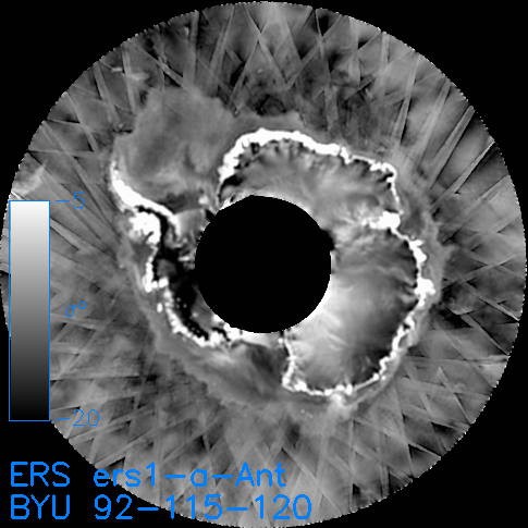
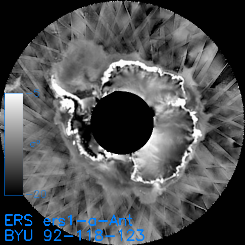
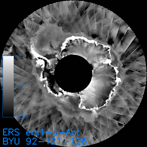
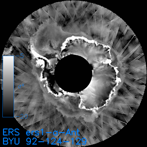
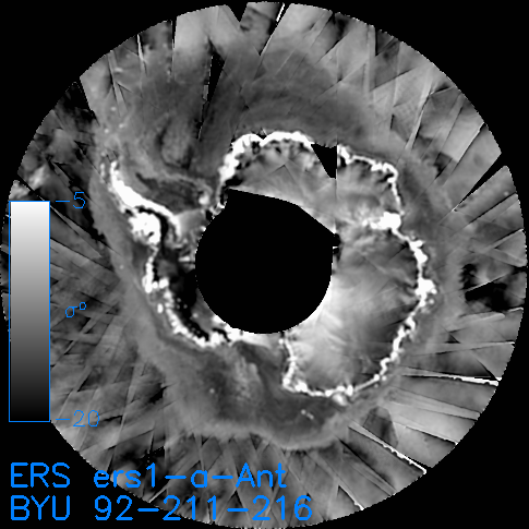
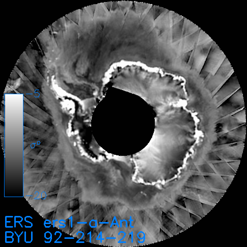
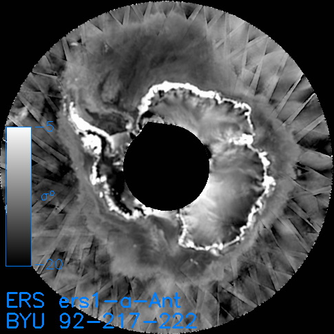
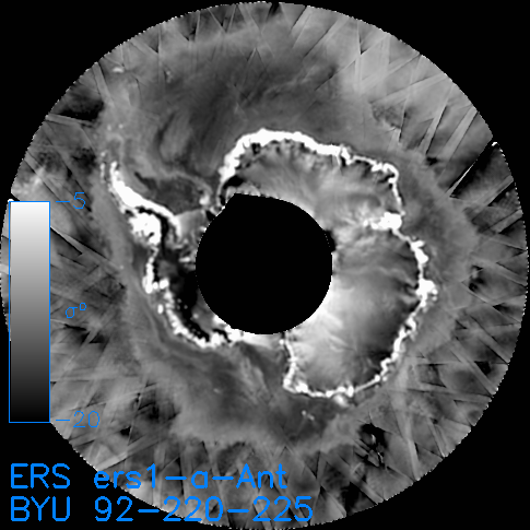
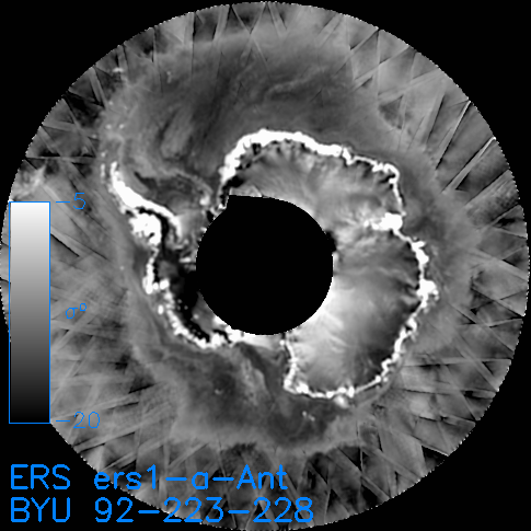
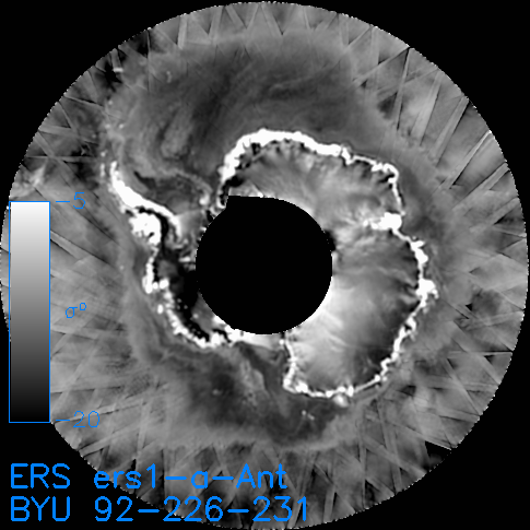
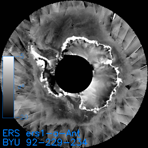
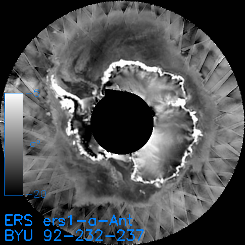
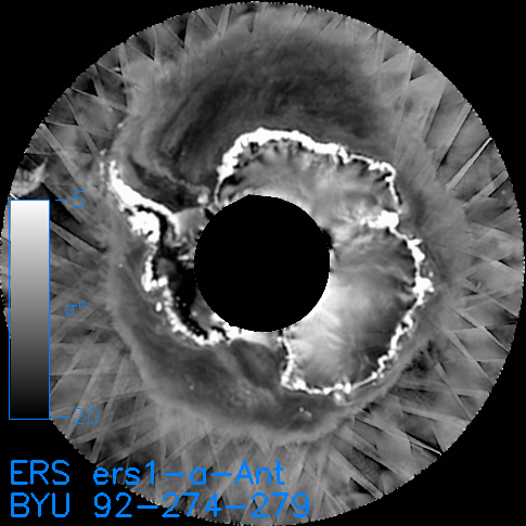
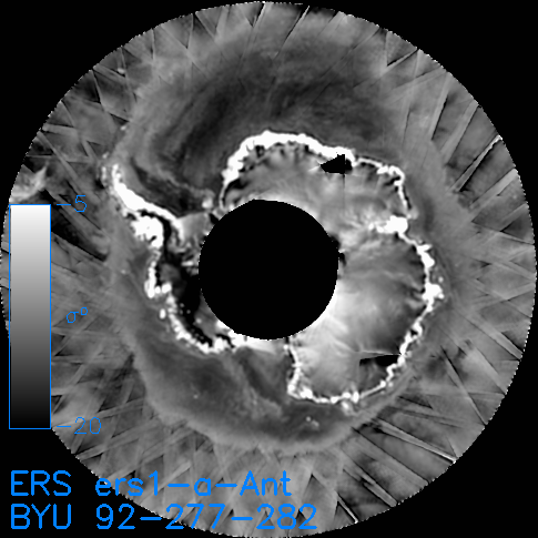
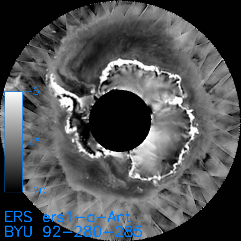
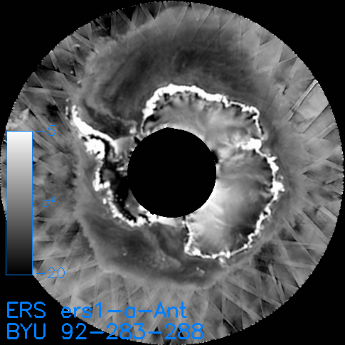
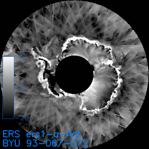
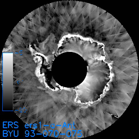
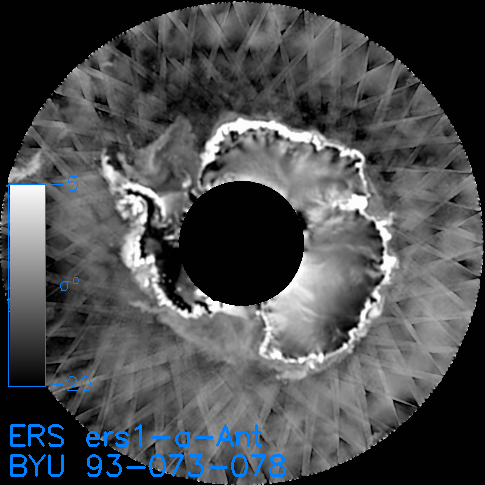
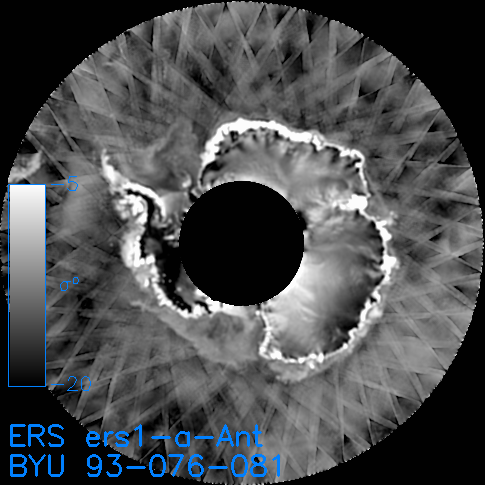
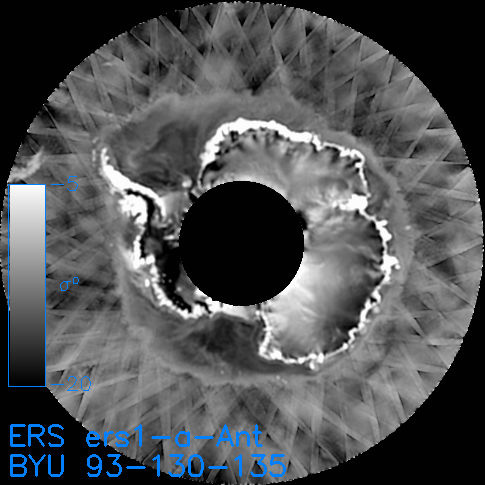
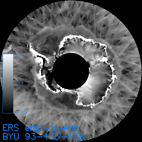
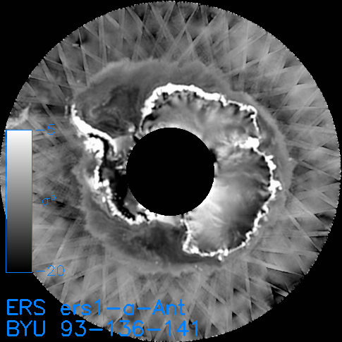
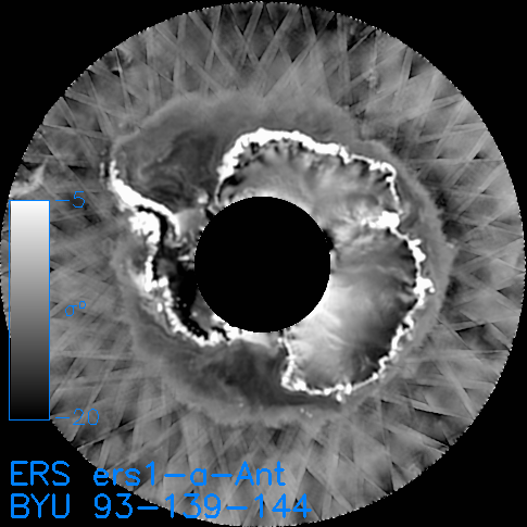
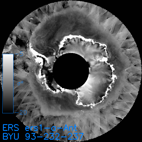
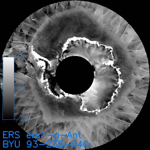
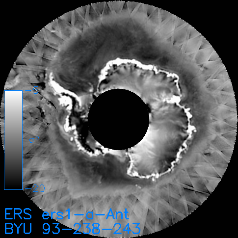
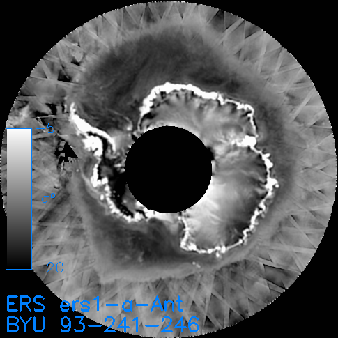
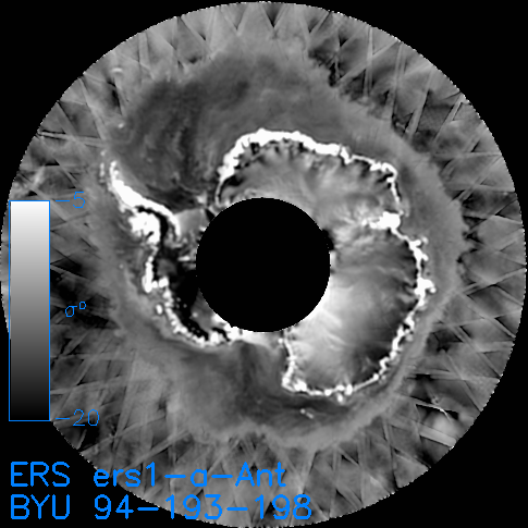
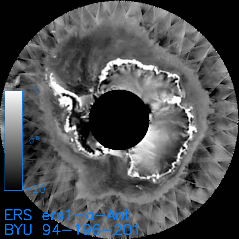
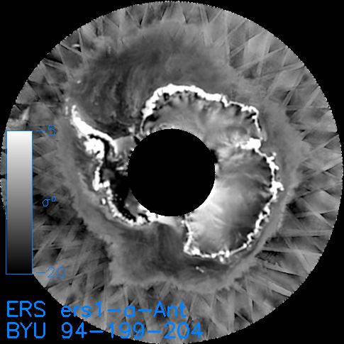
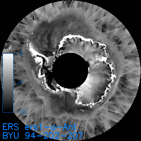
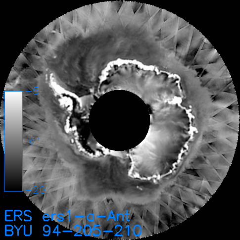
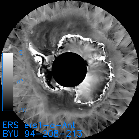
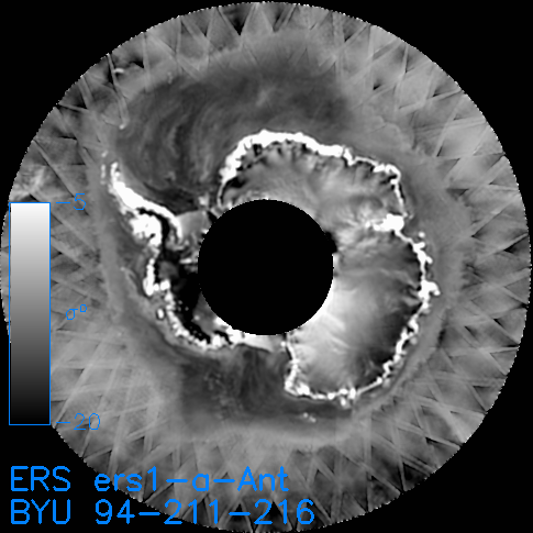
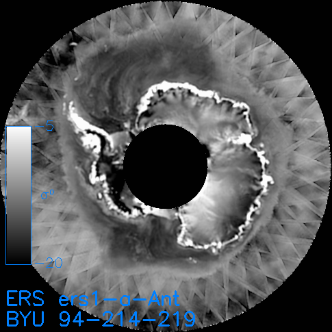
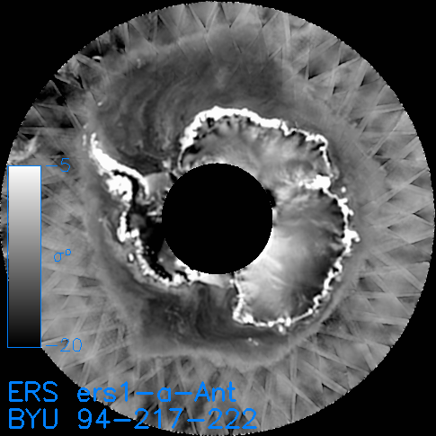
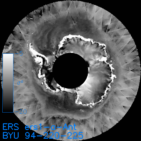
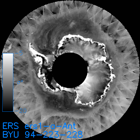
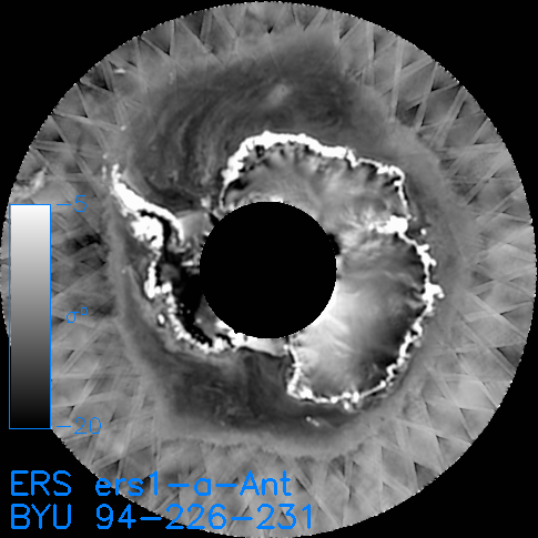
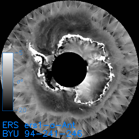
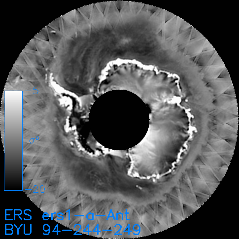
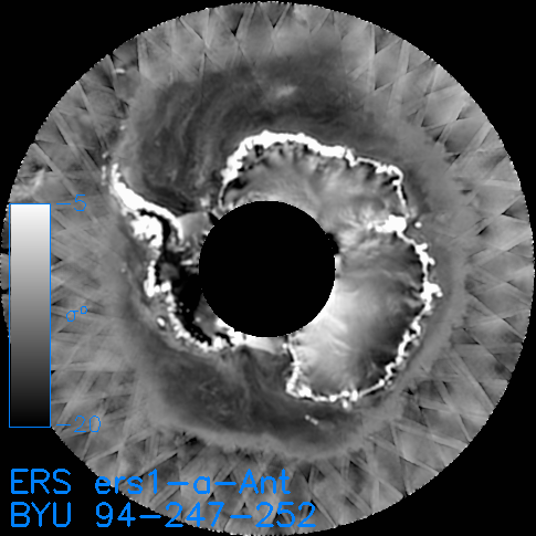
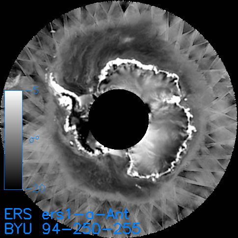
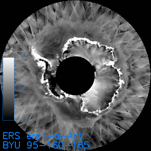
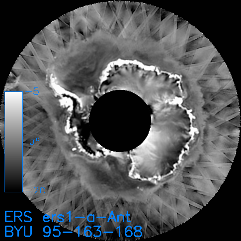
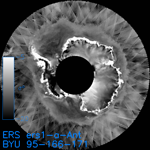
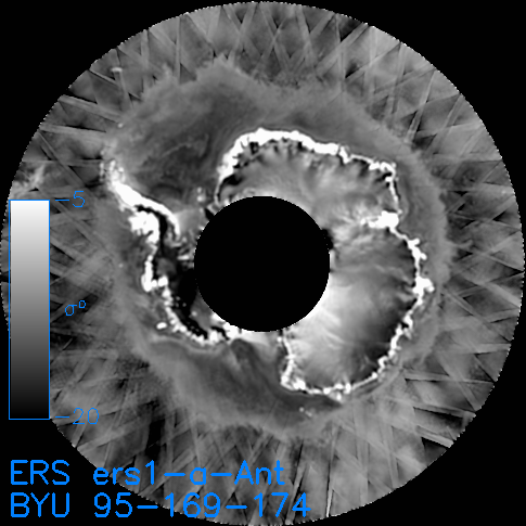
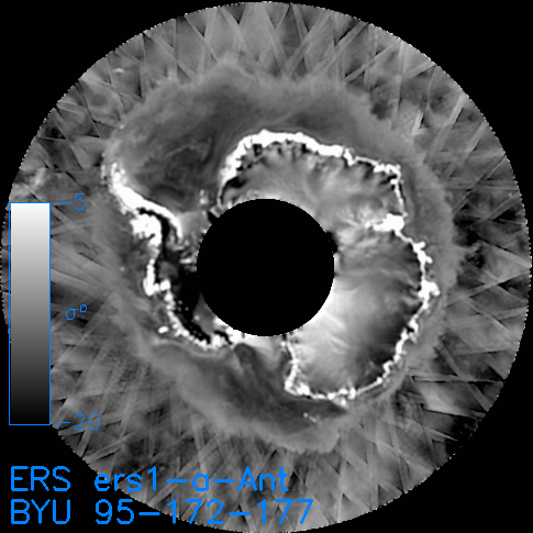
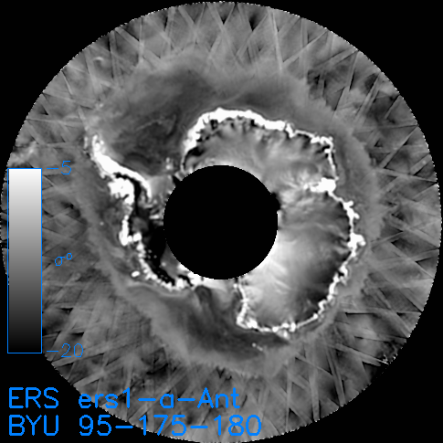
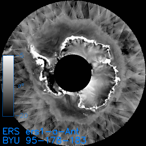
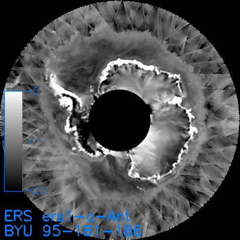
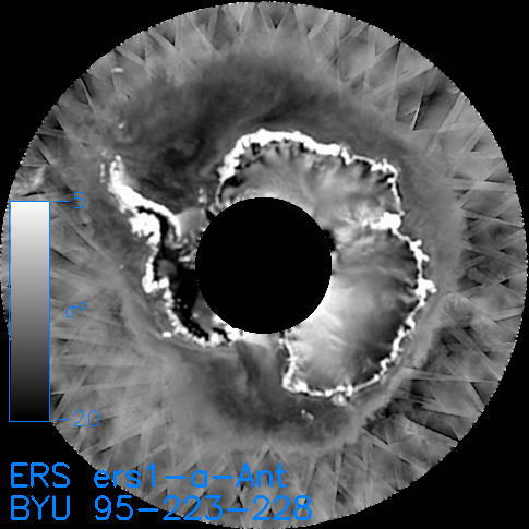
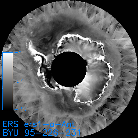
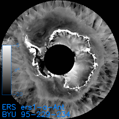
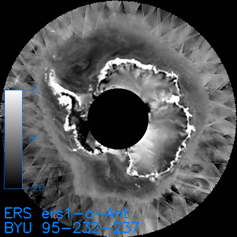
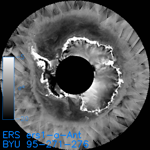
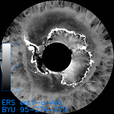
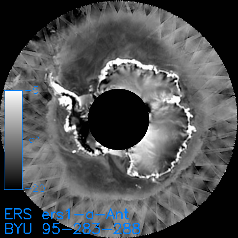
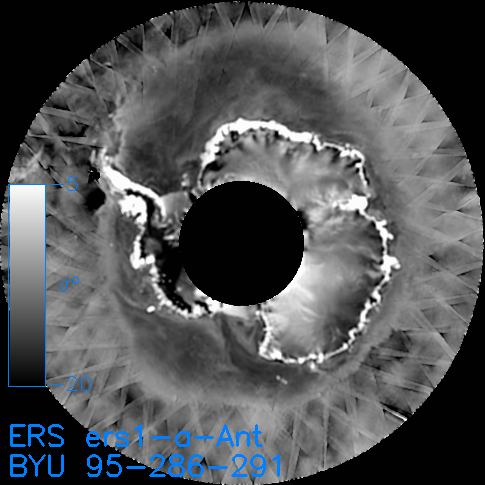
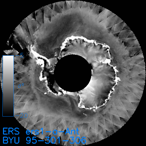
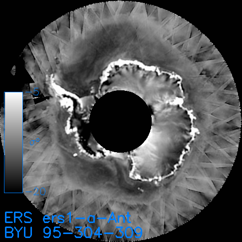
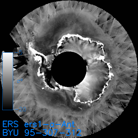
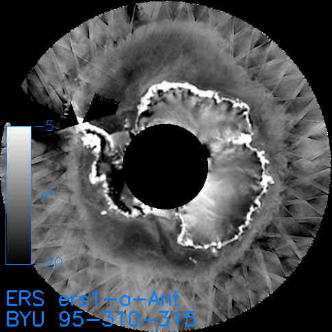
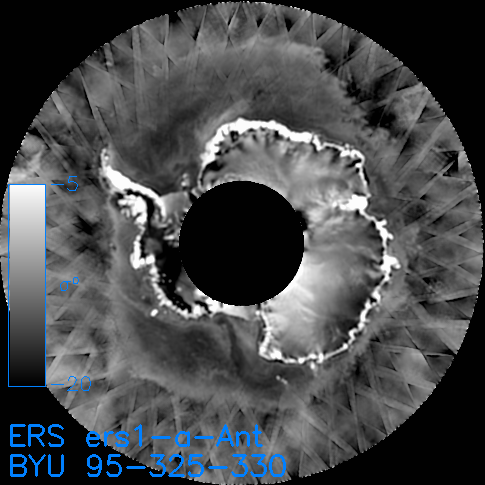
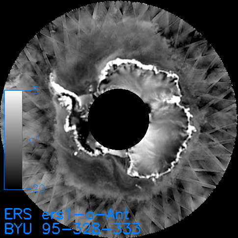
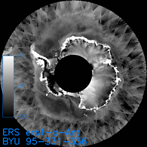
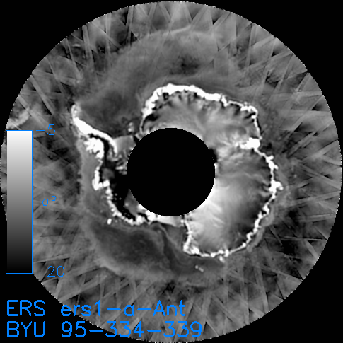
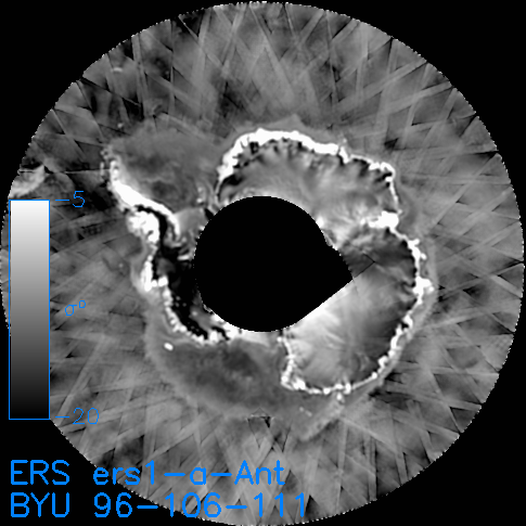
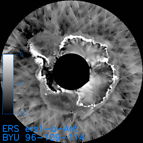
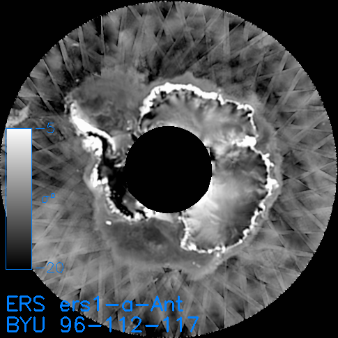
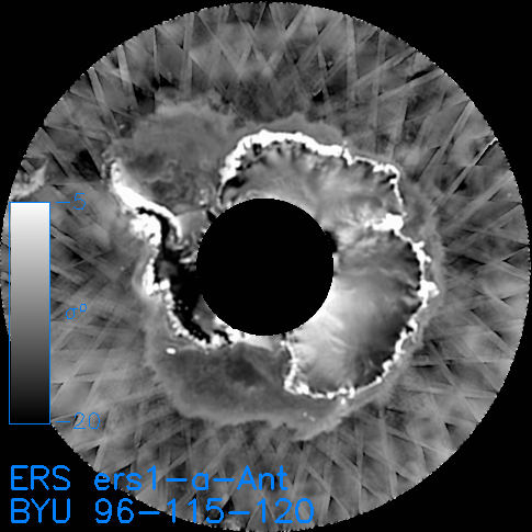
The files in the table below are also available via https: SIR | AVE or grd
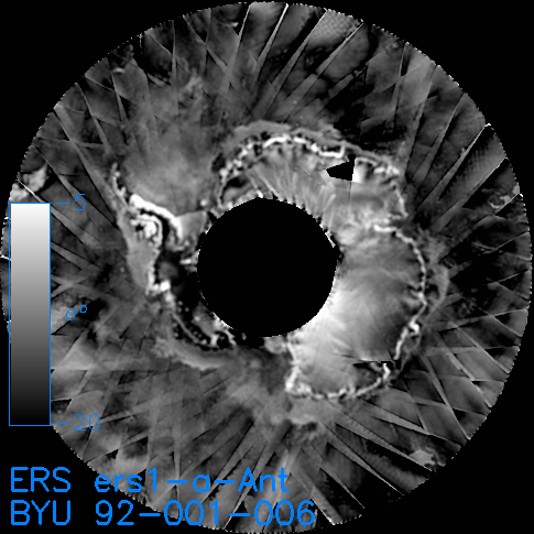
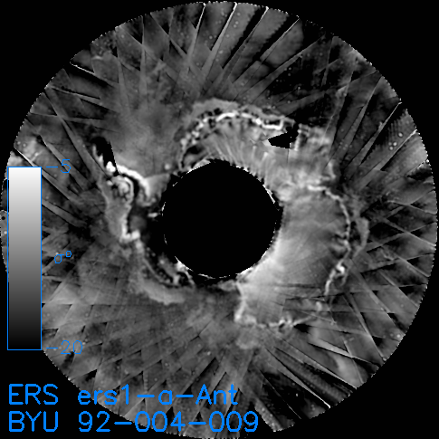
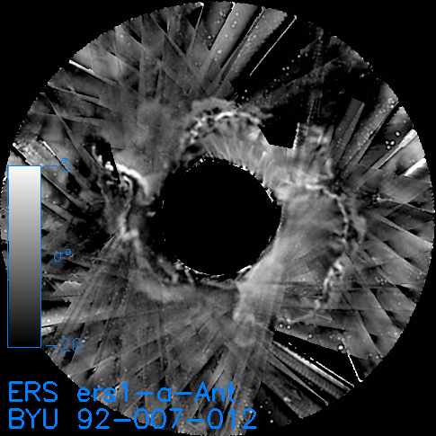
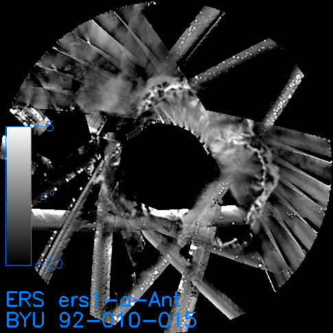
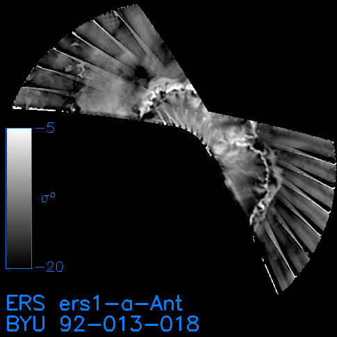
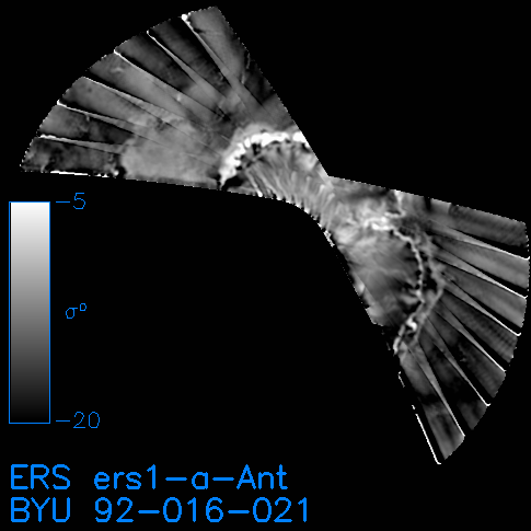
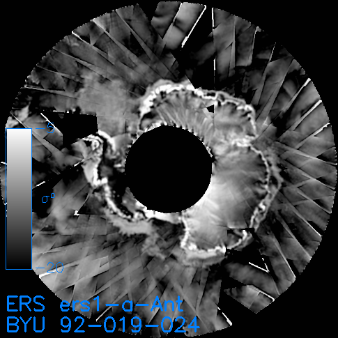
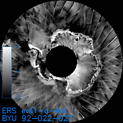
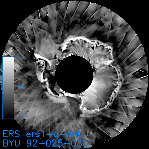
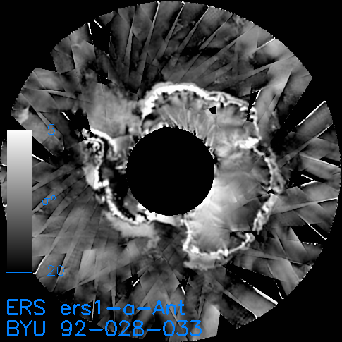
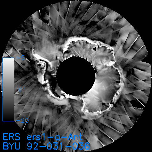
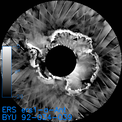
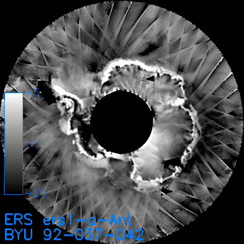
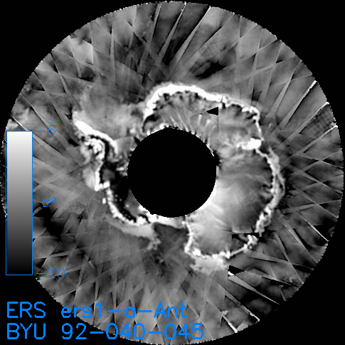
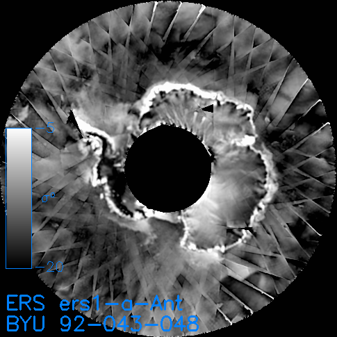
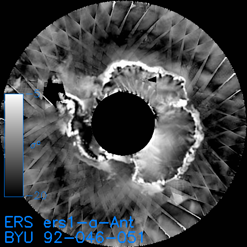
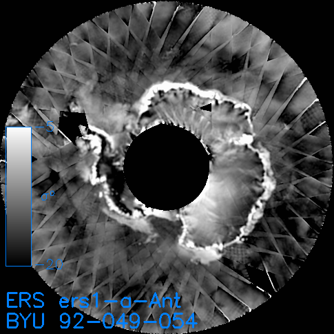
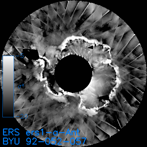
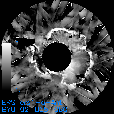
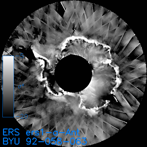
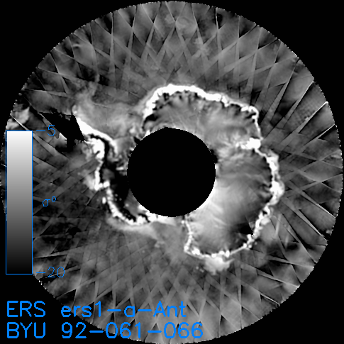
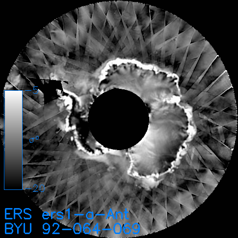
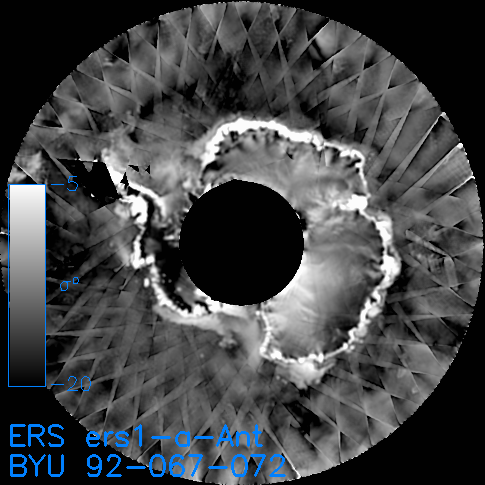
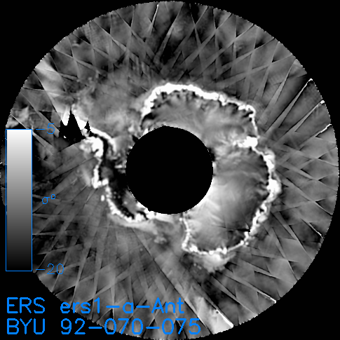
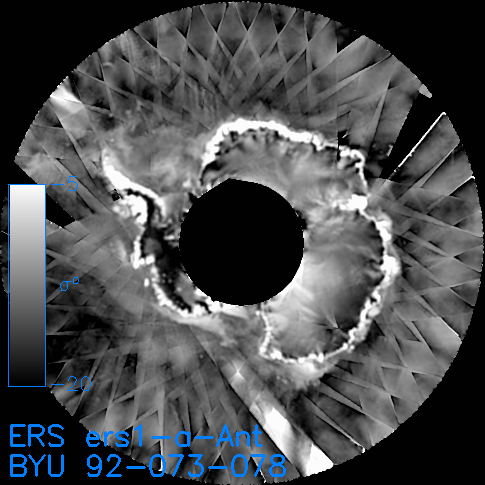
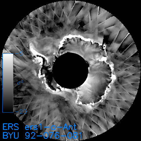
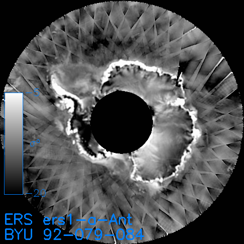
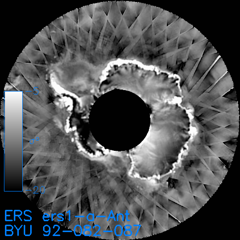
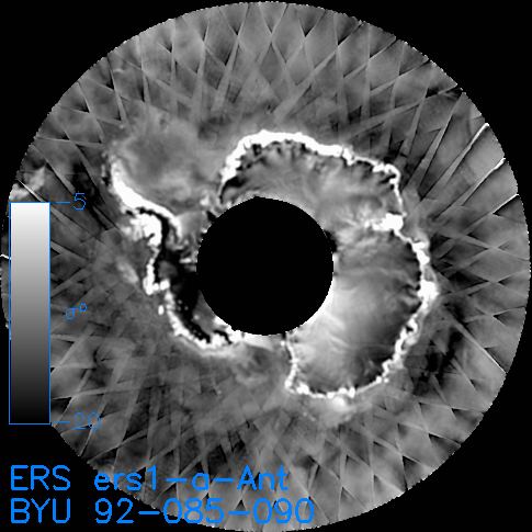
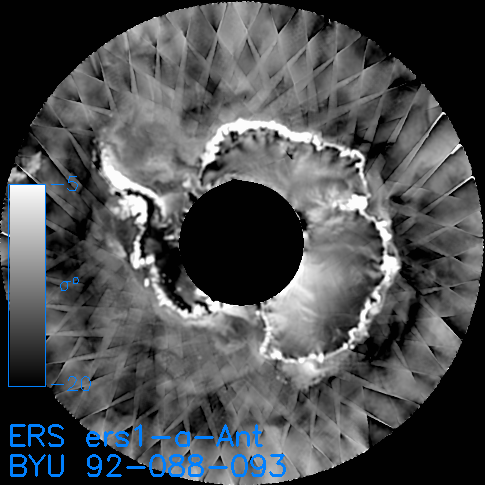
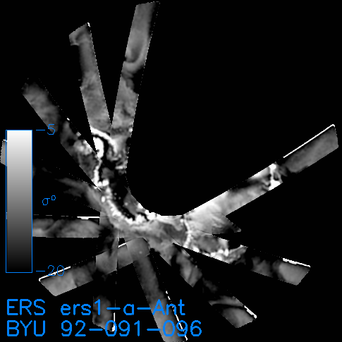
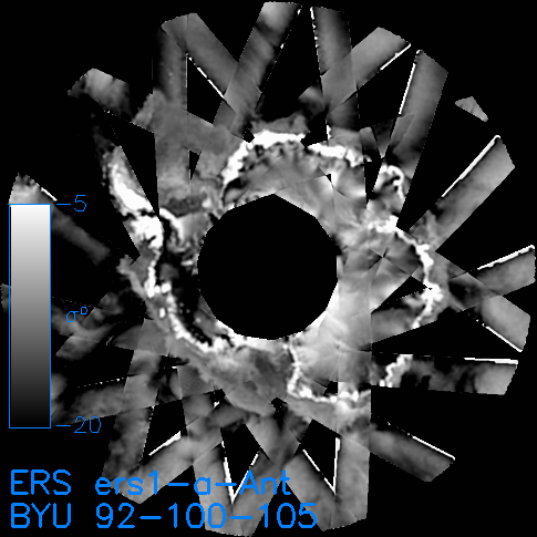
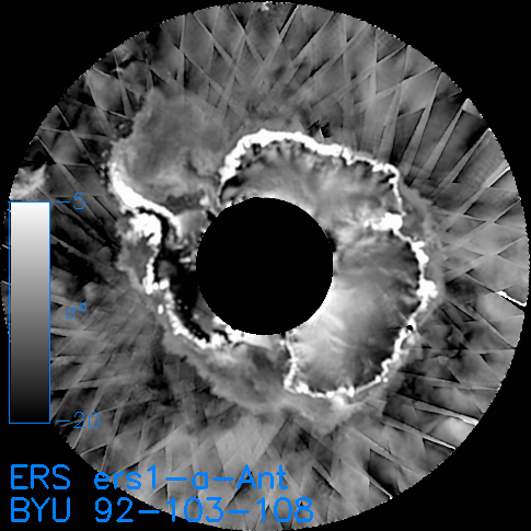
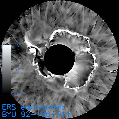
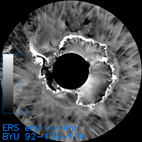
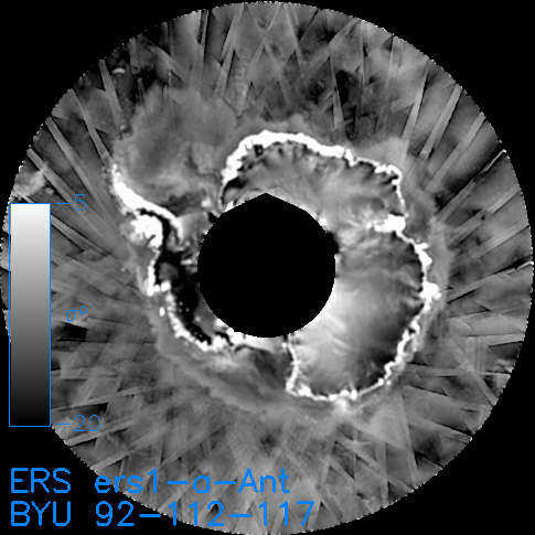
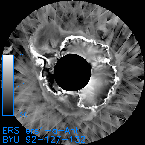
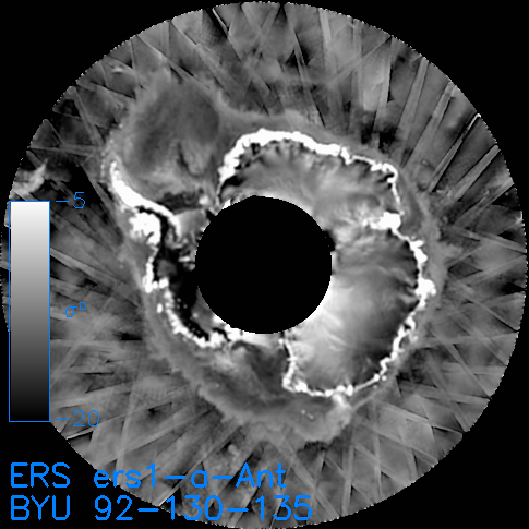
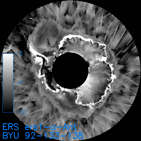
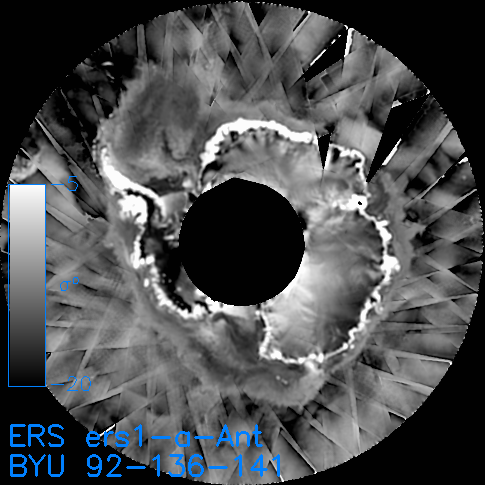
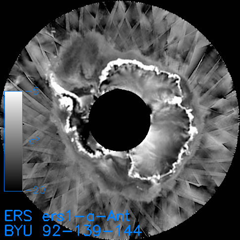
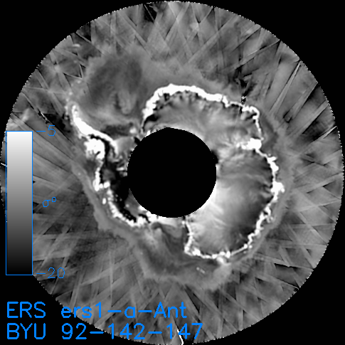
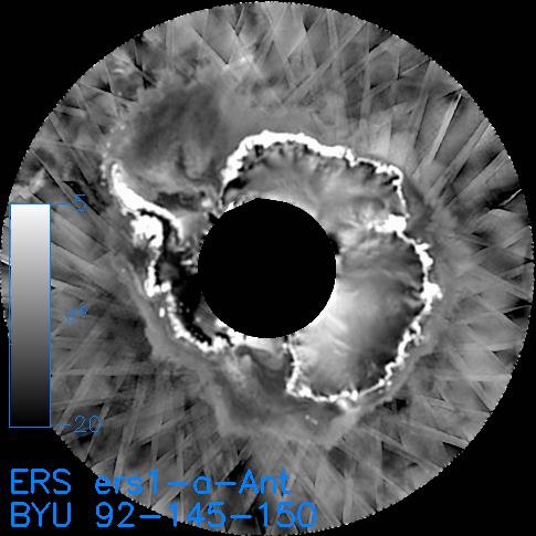
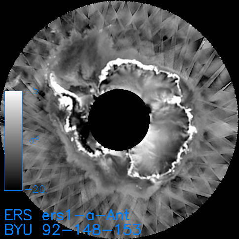
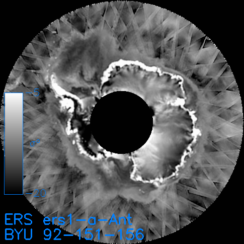
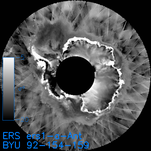
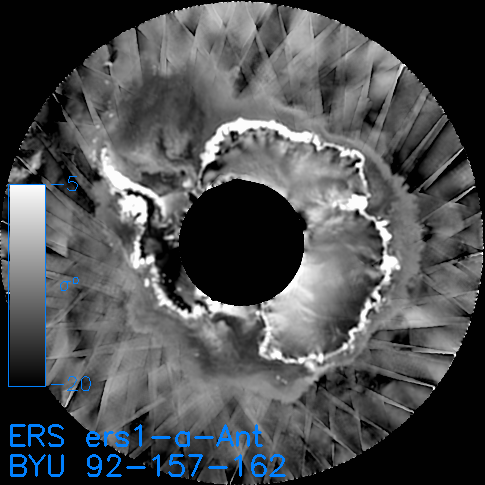
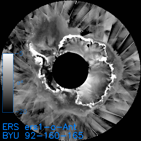
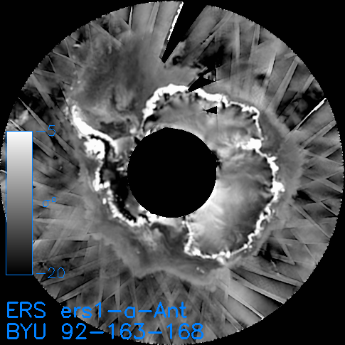
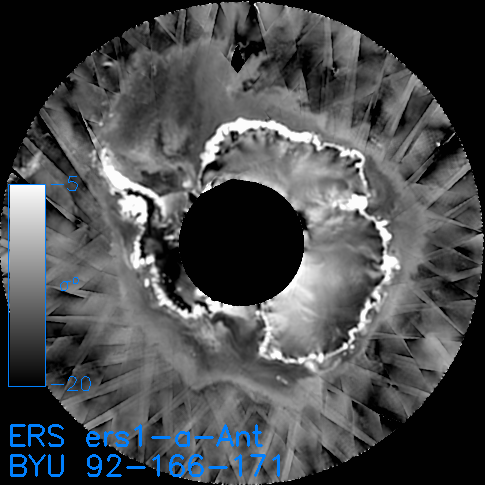
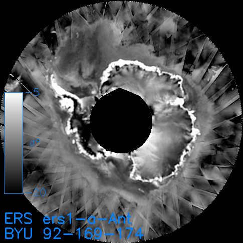
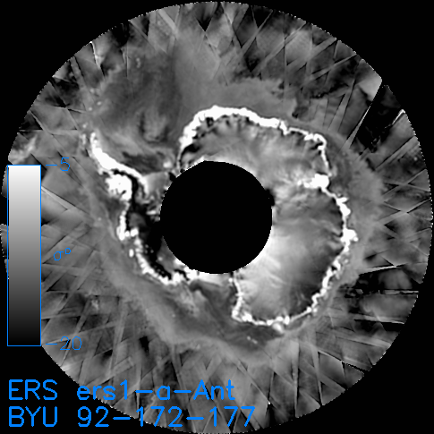
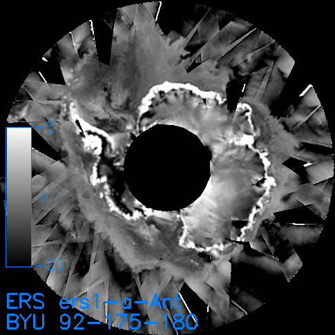
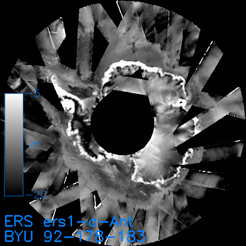
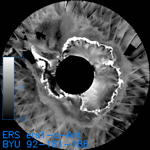
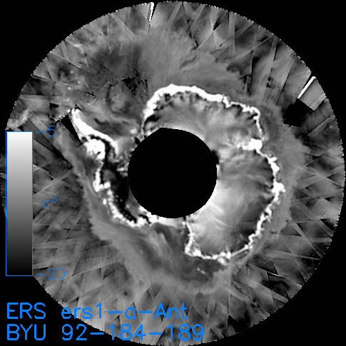
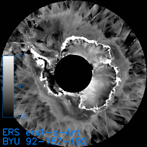
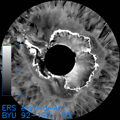
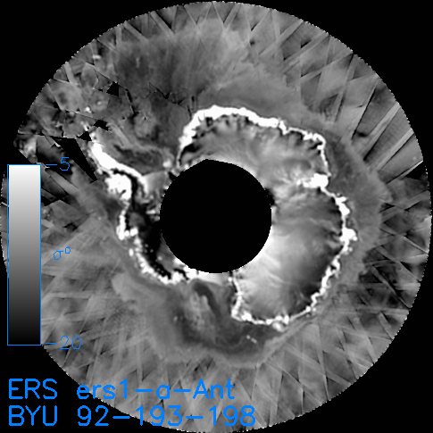
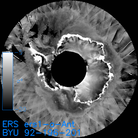
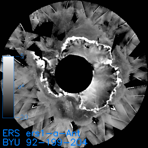
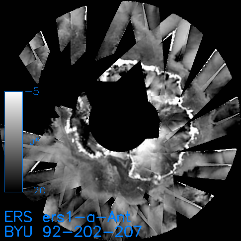
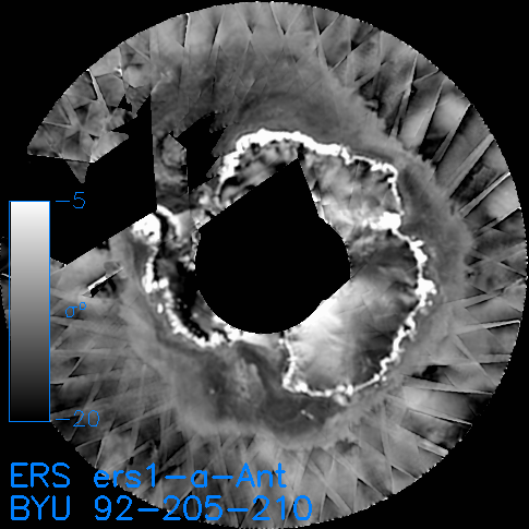
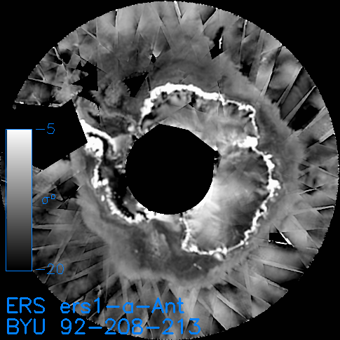
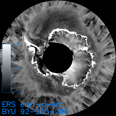
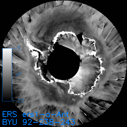
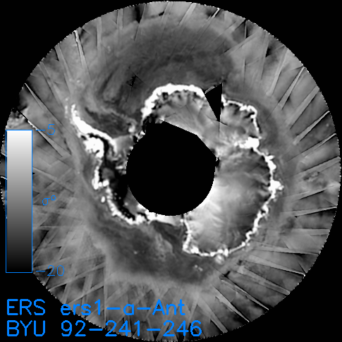
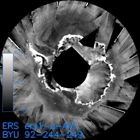
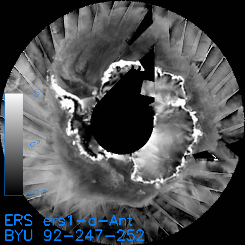
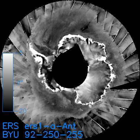
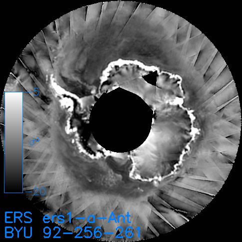
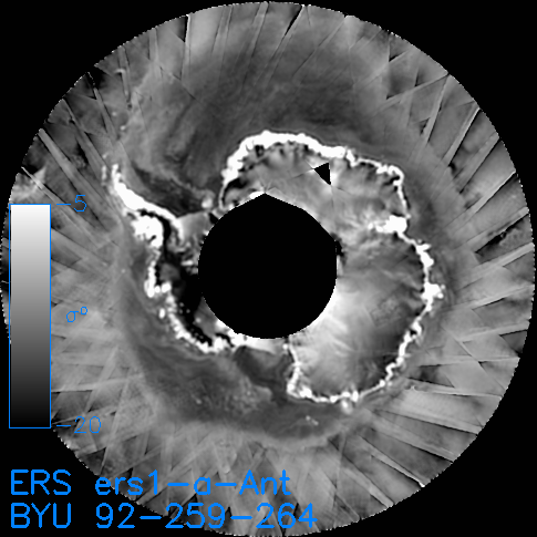
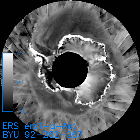
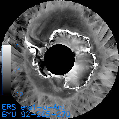
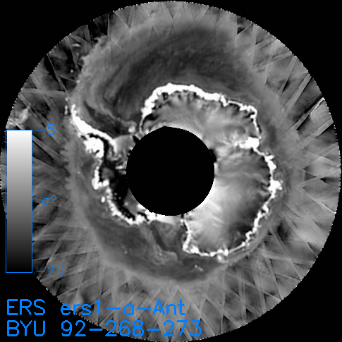
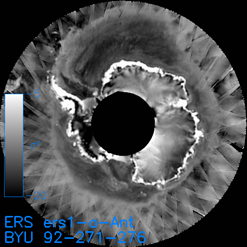
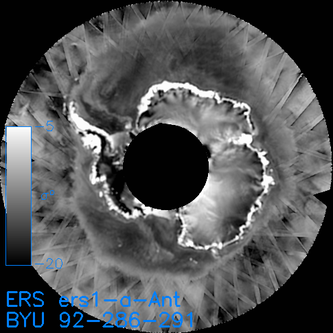
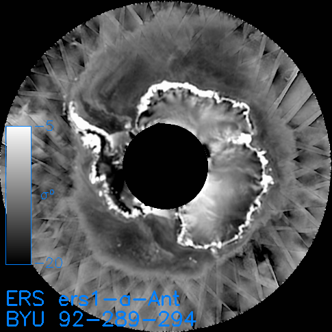
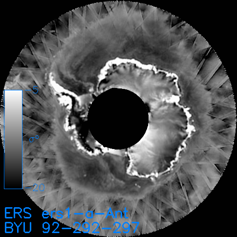
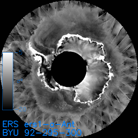
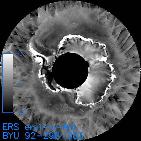
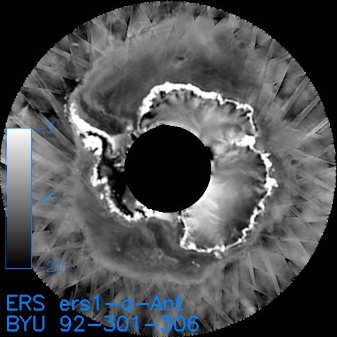
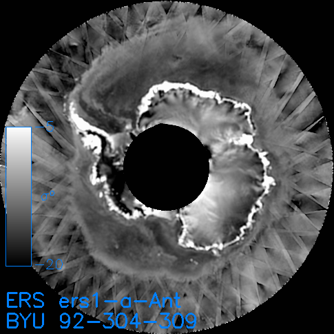
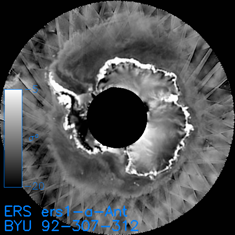
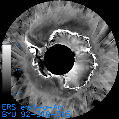
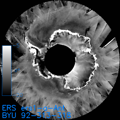
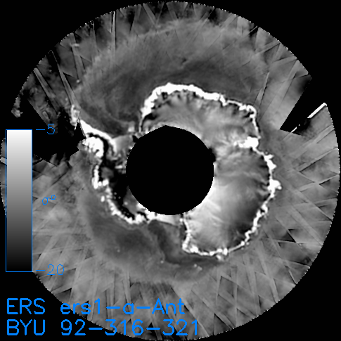
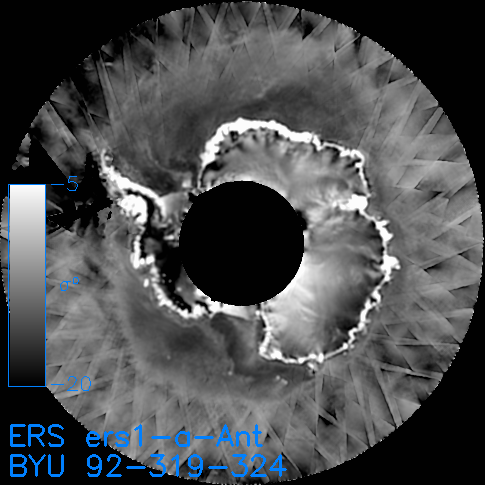
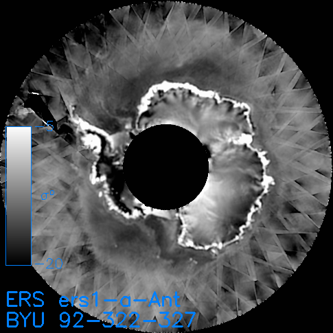
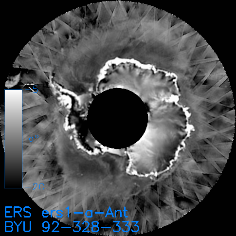
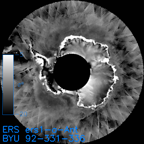
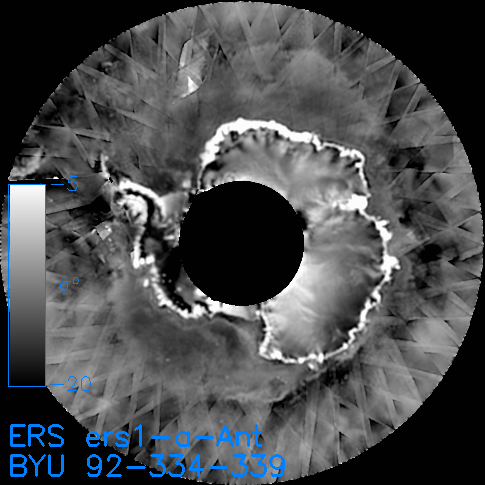
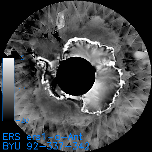
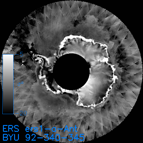
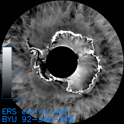
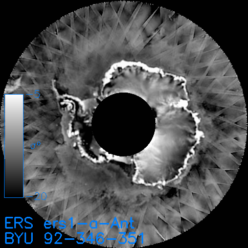
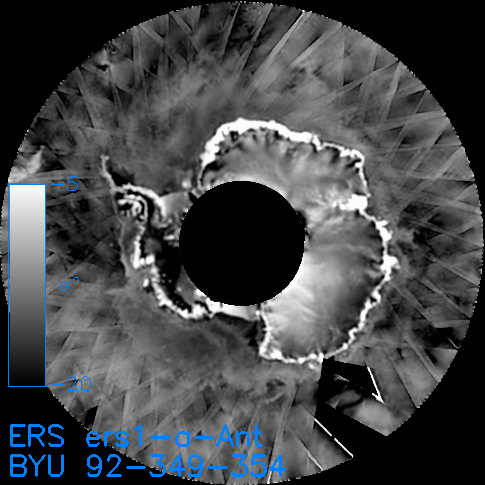
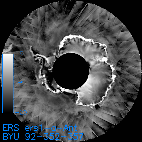
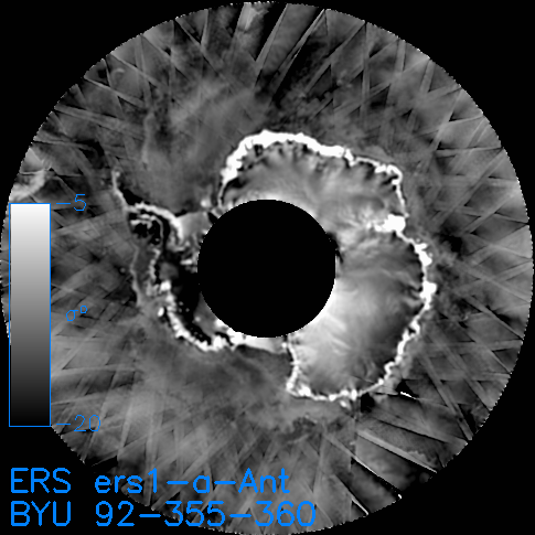
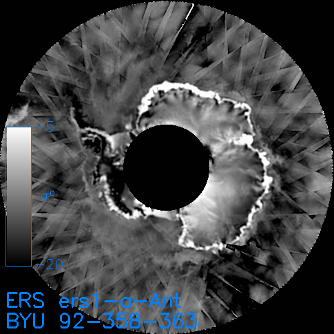
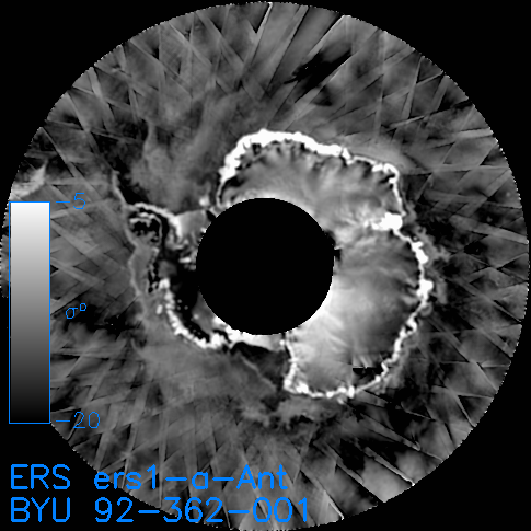
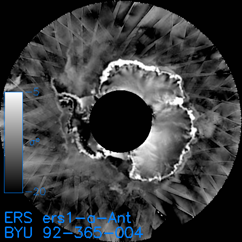
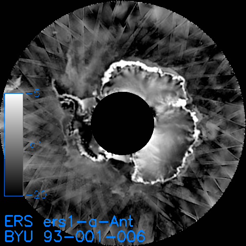
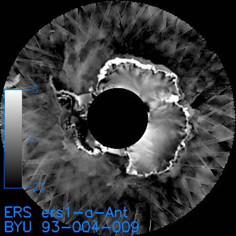
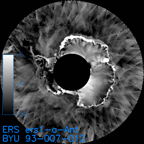
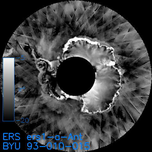
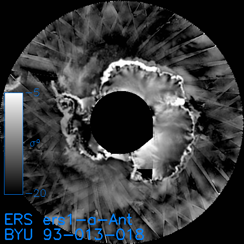
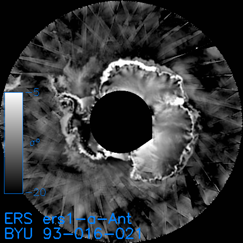
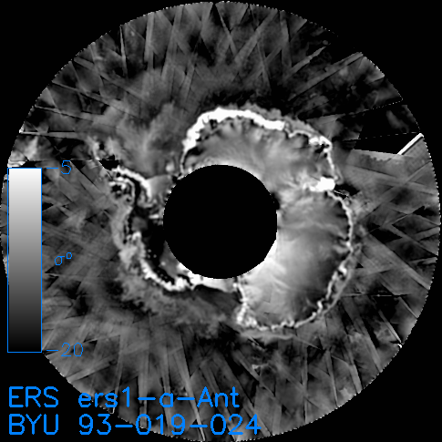
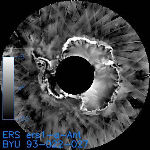
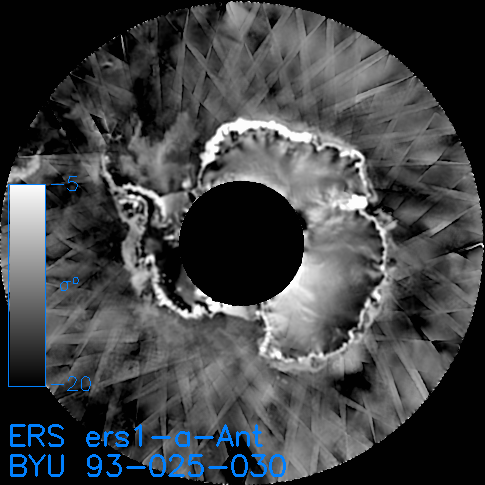
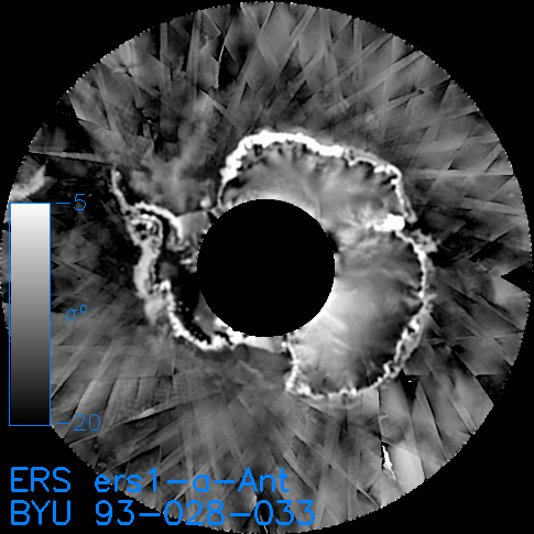
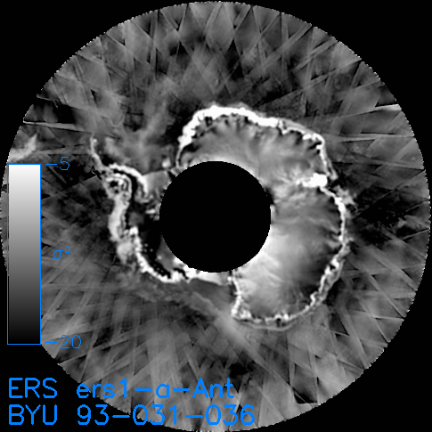
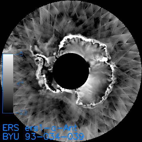
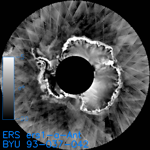
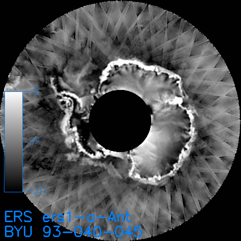
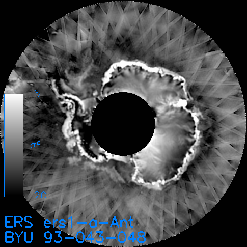
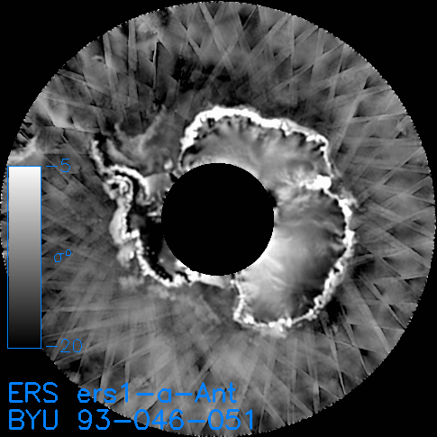
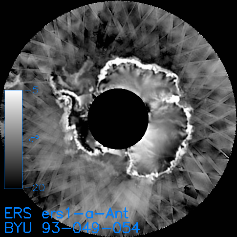
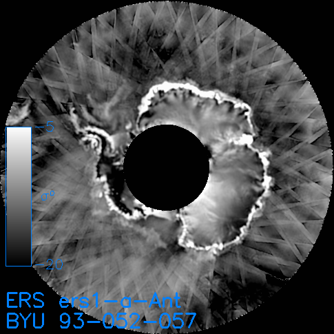
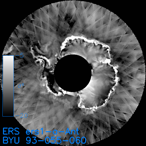
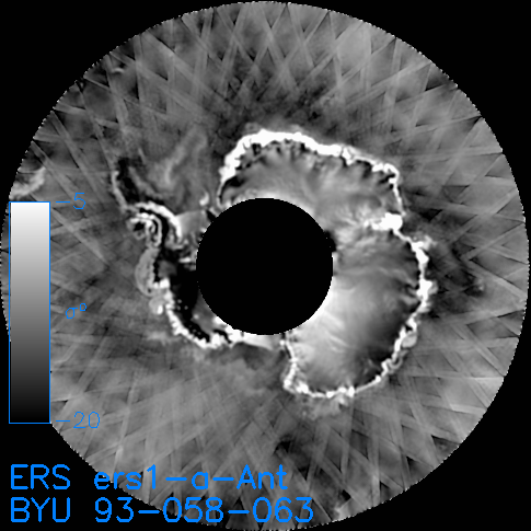
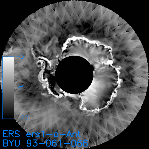
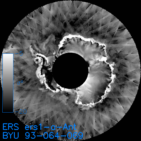
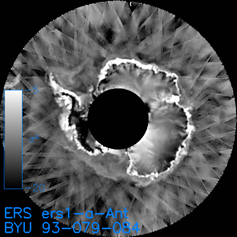
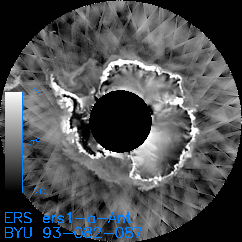
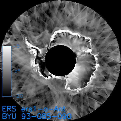
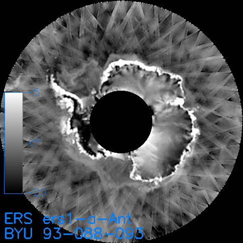
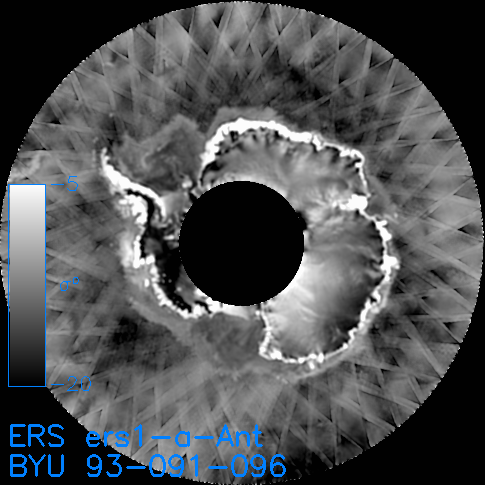
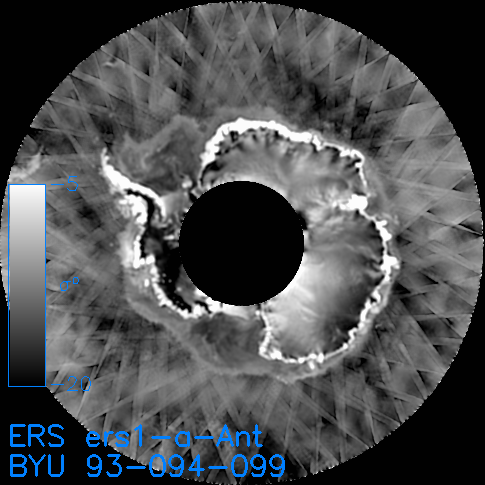
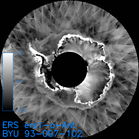
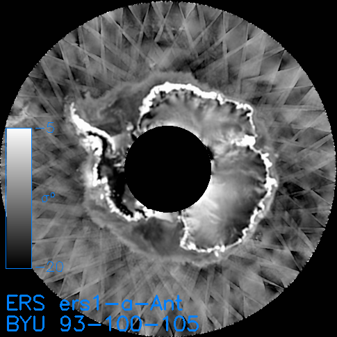
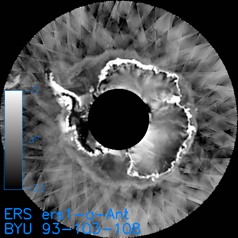
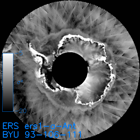
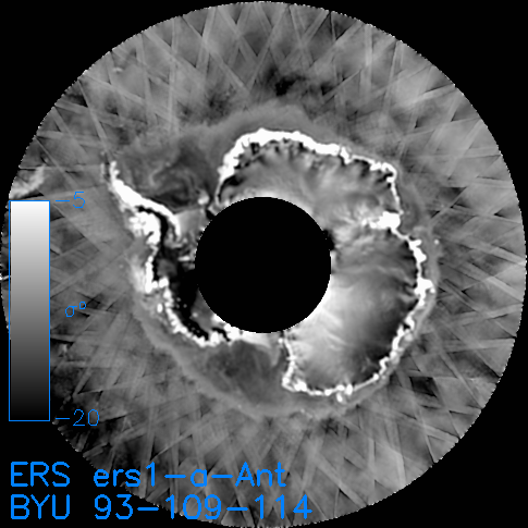
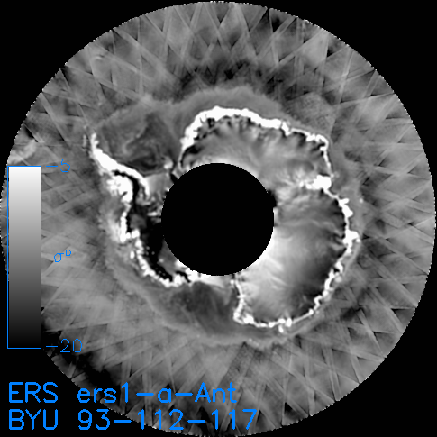
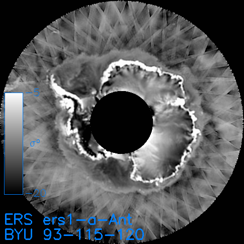
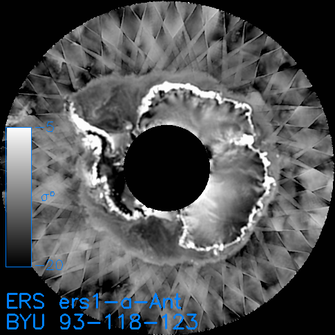
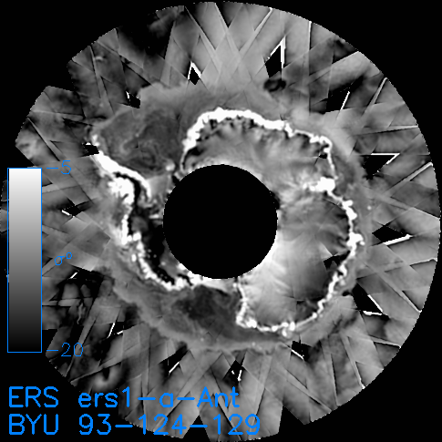
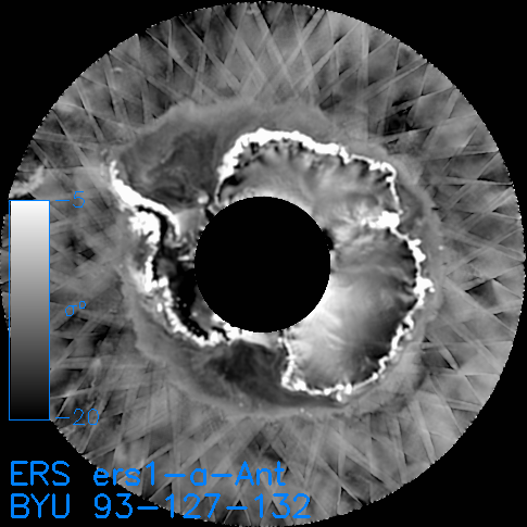
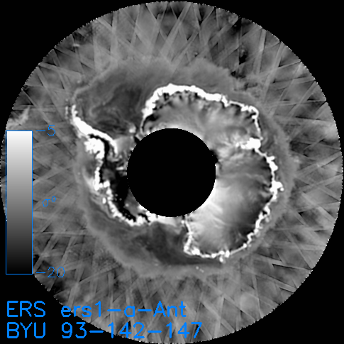
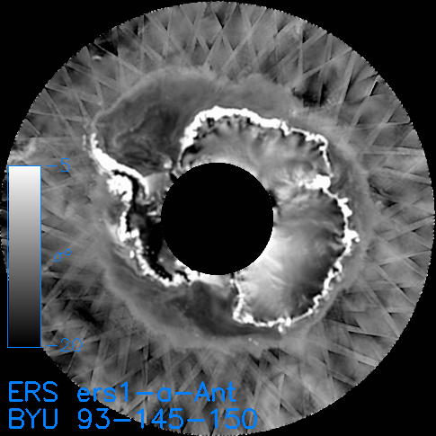
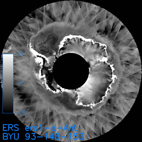
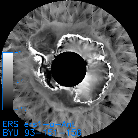
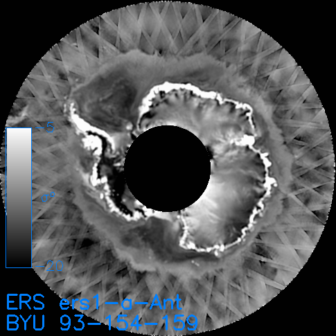
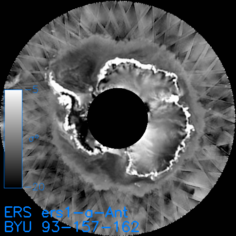
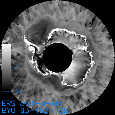
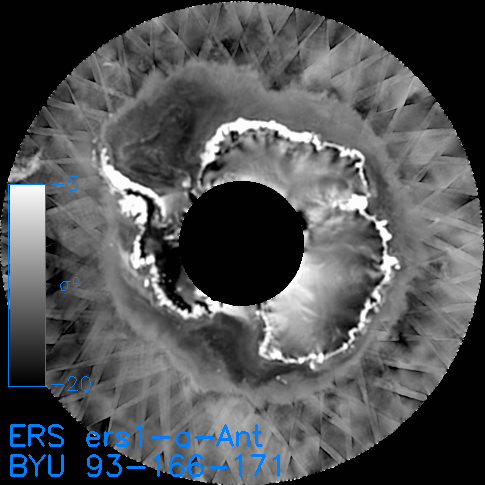
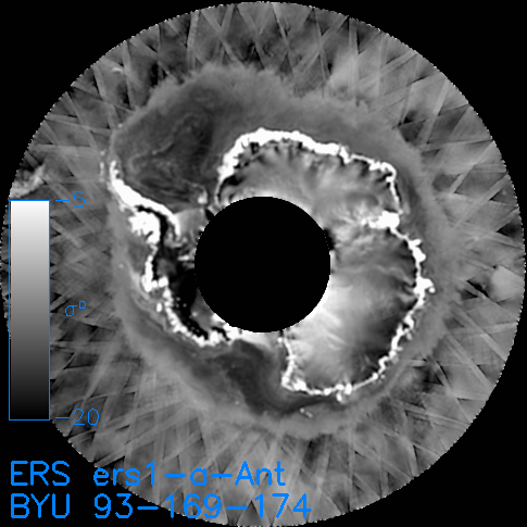
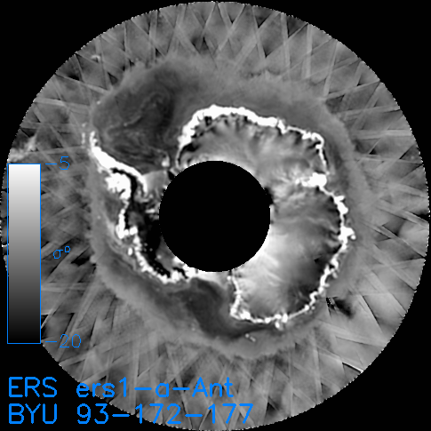
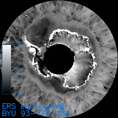
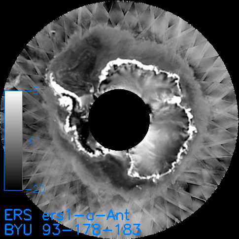
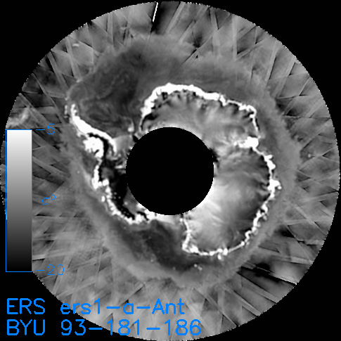
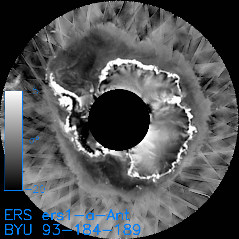
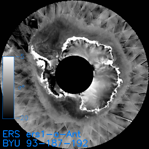
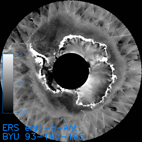
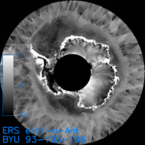
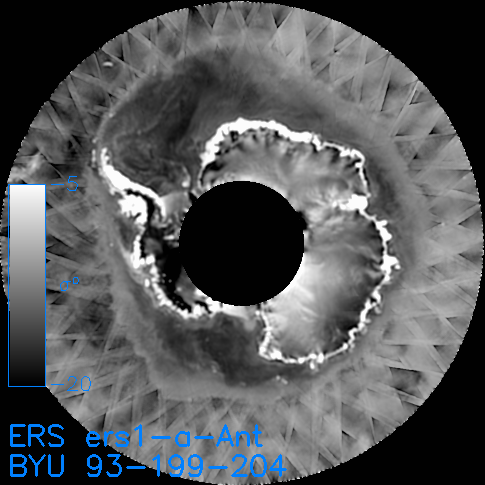
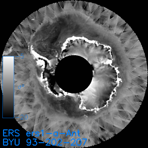
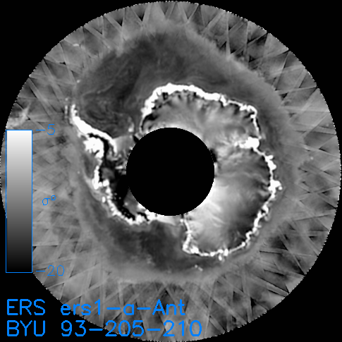
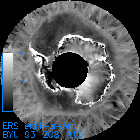
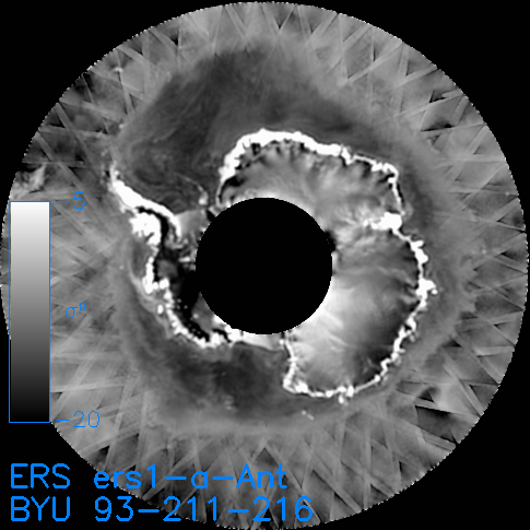
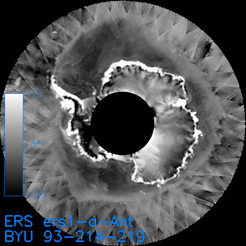
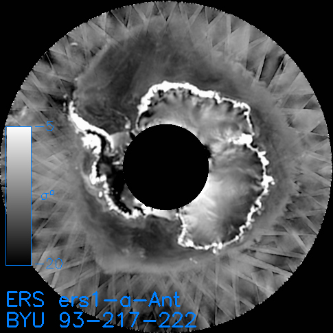
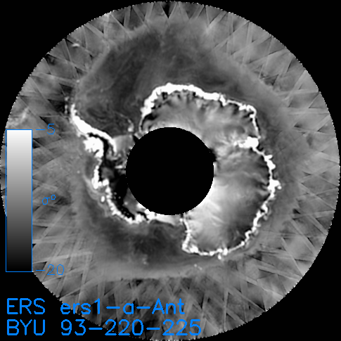
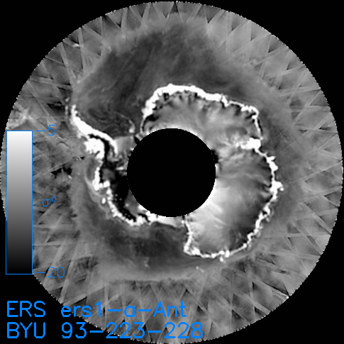
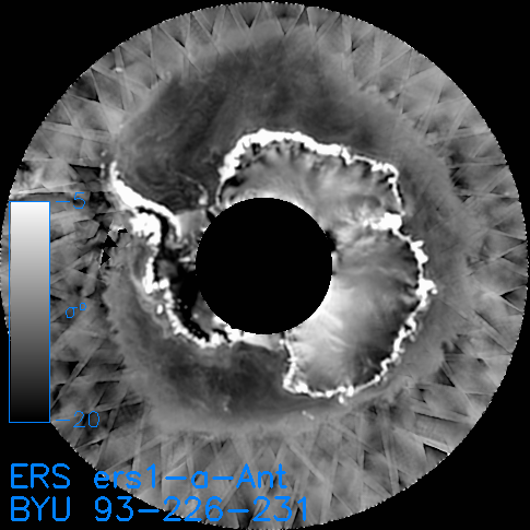
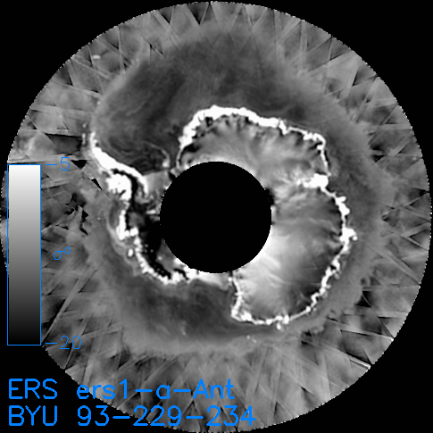
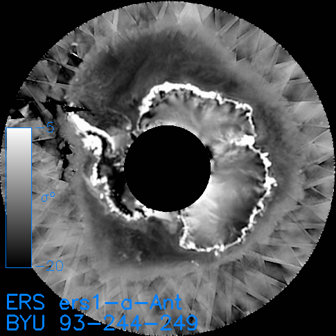
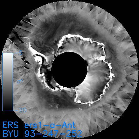
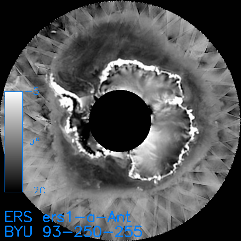
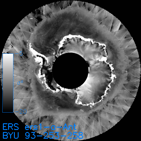
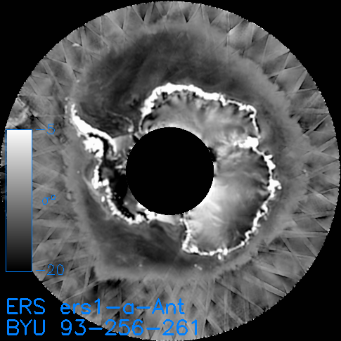
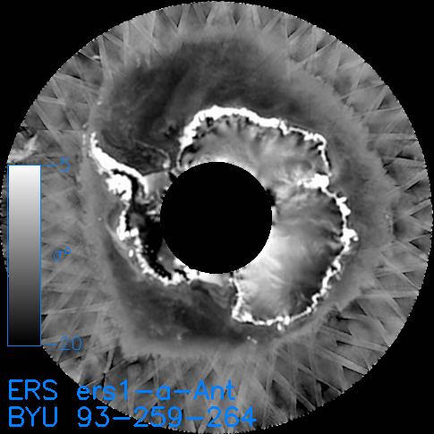
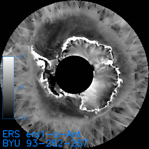
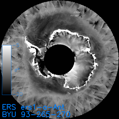
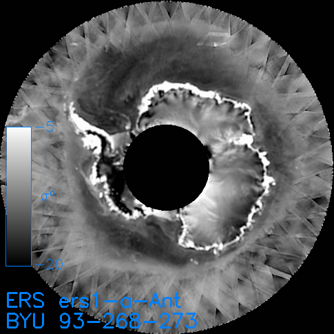
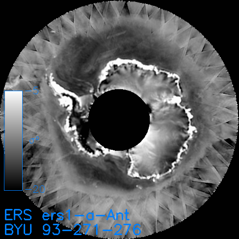
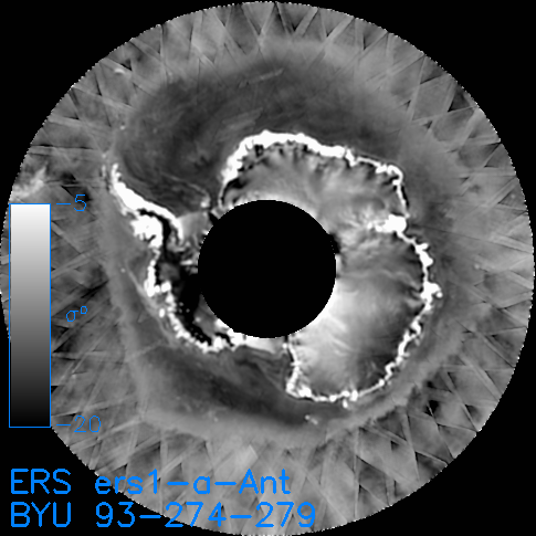
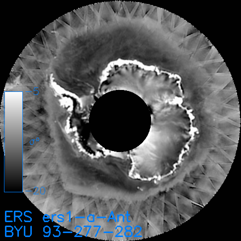
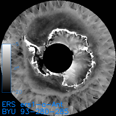
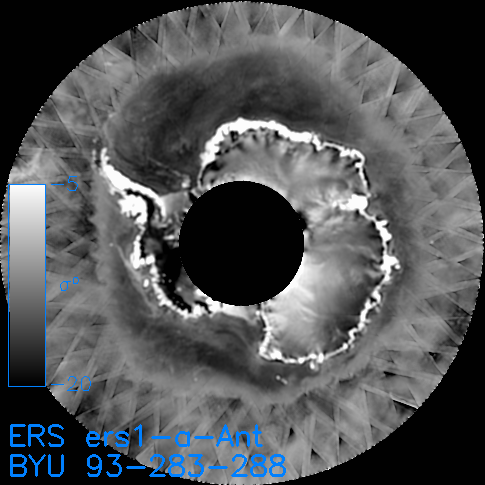
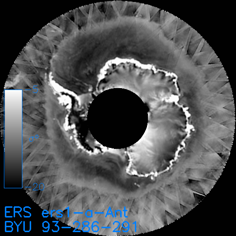
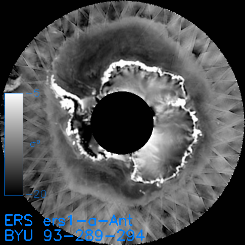
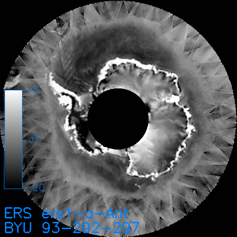
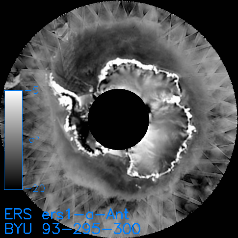
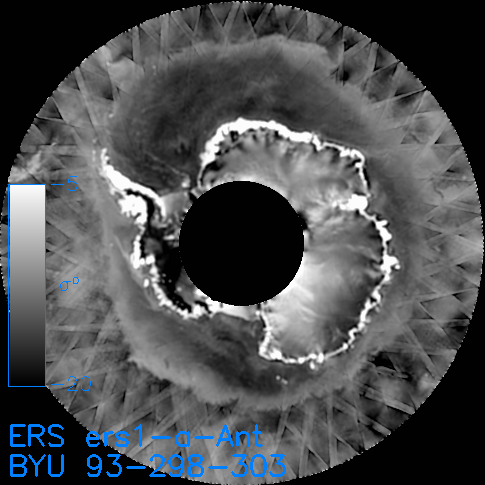
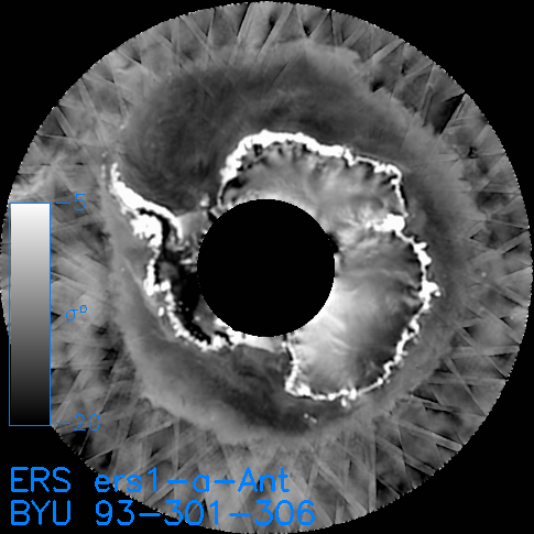
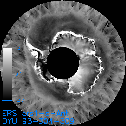
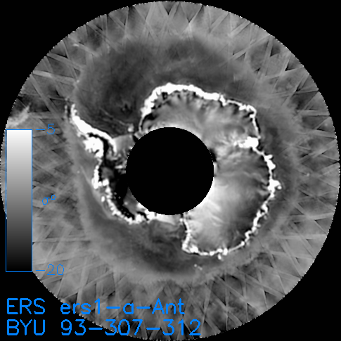
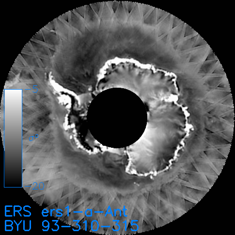
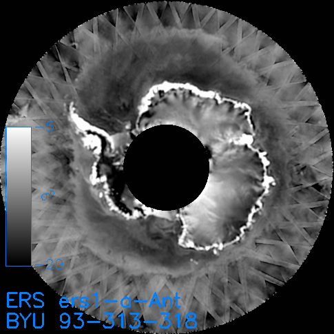
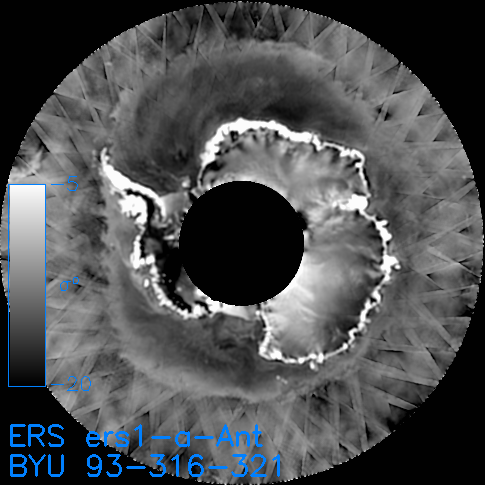
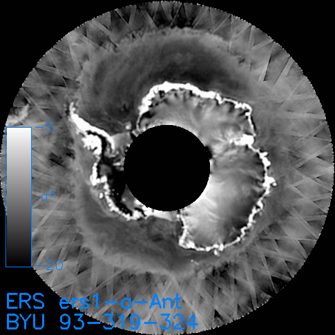
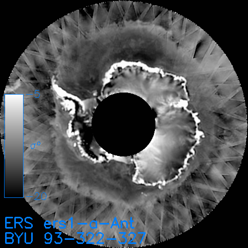
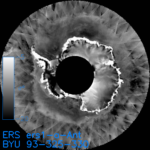
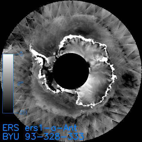
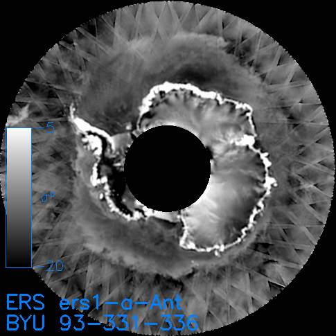
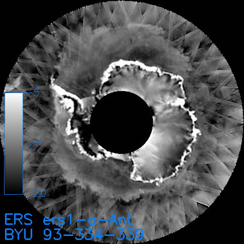
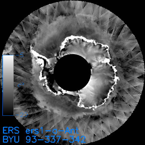
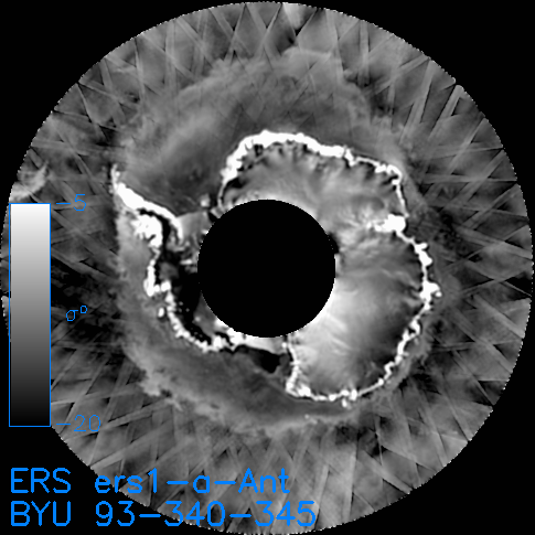
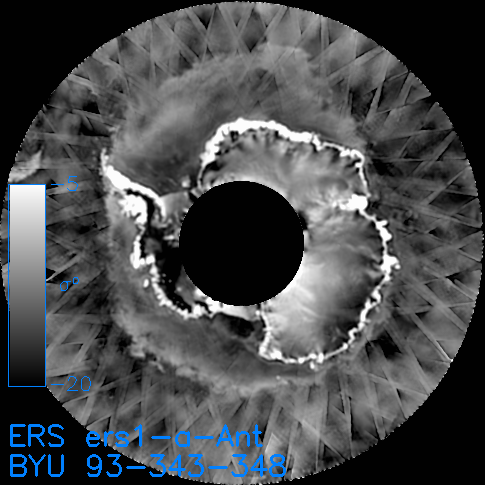
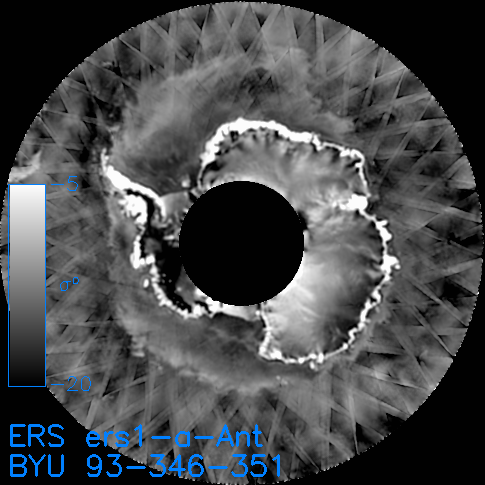
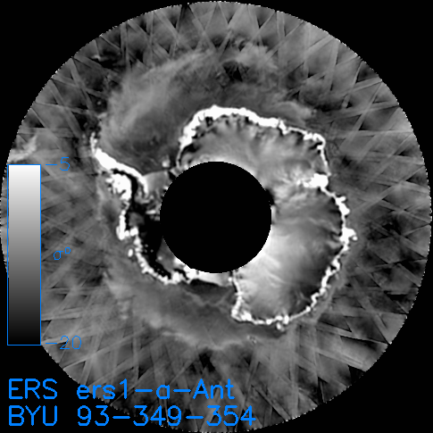
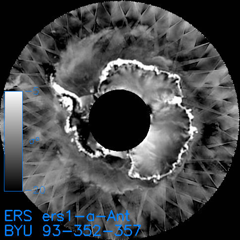
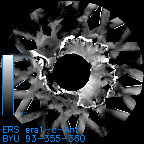
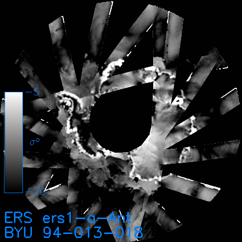
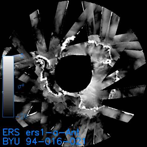
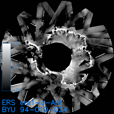
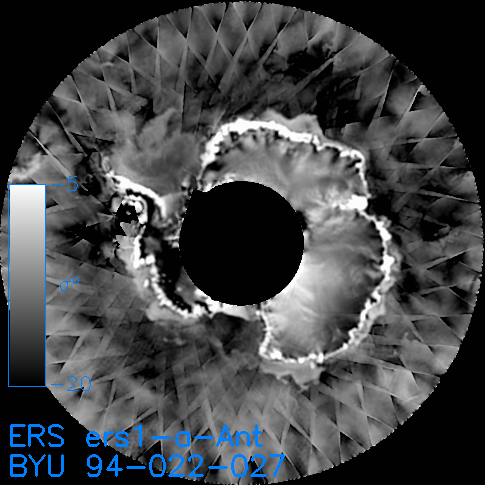
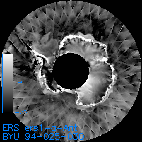
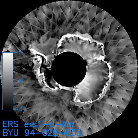
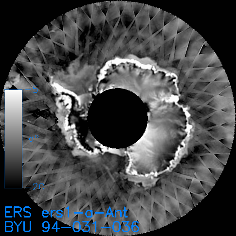
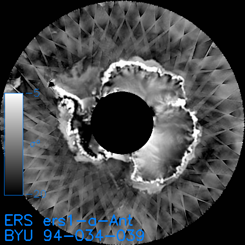
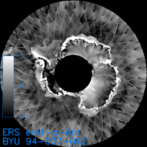
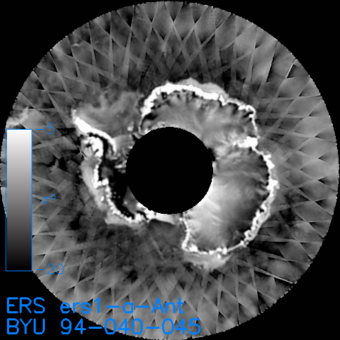
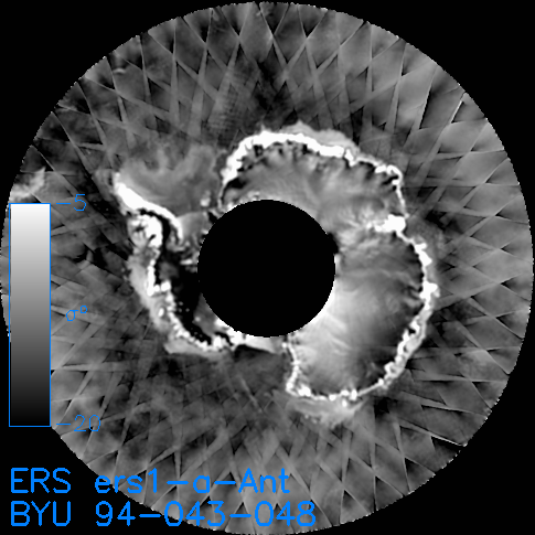
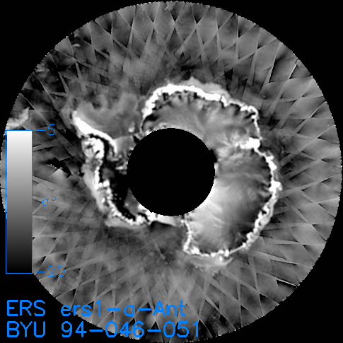
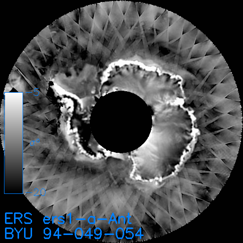
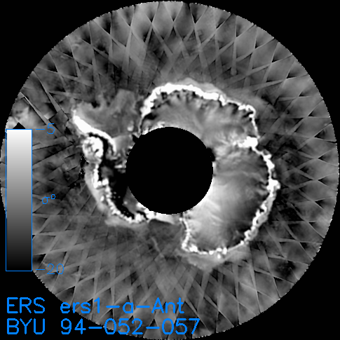
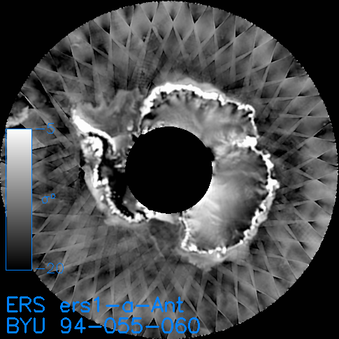
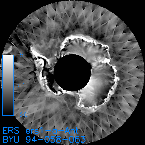
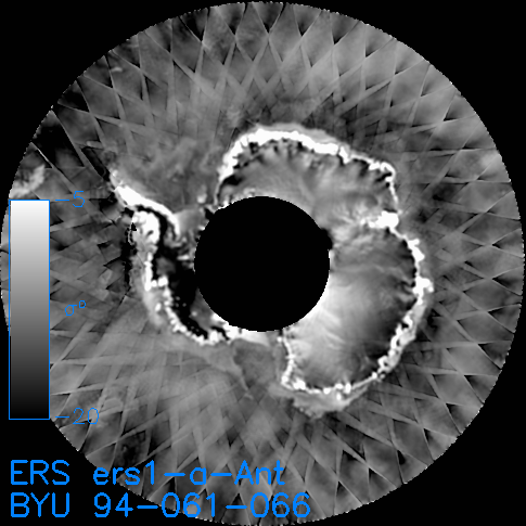
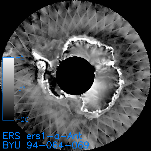
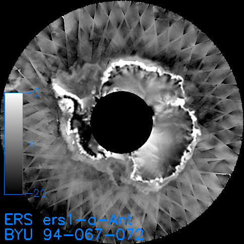
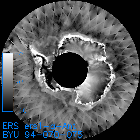
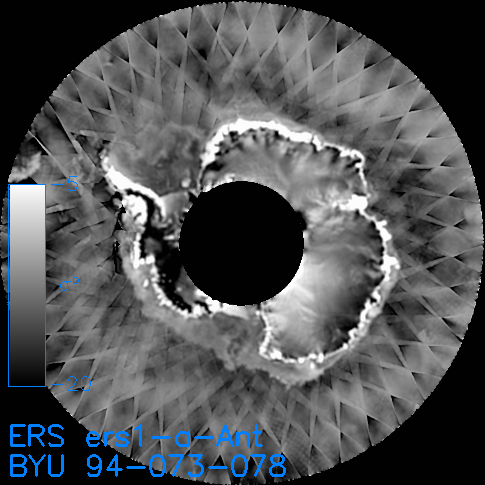
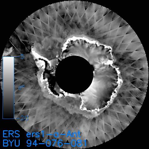
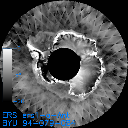
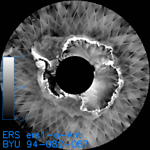
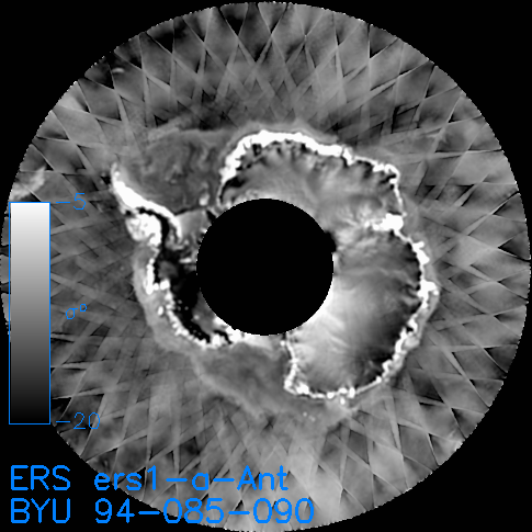
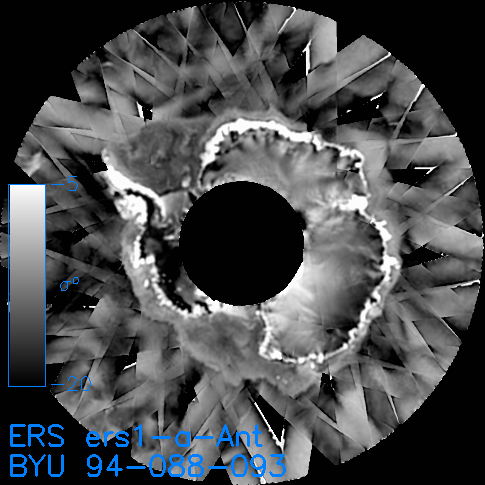
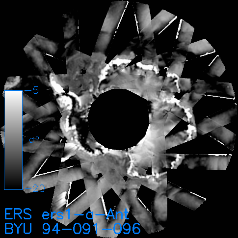
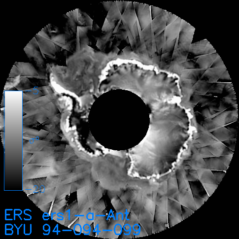
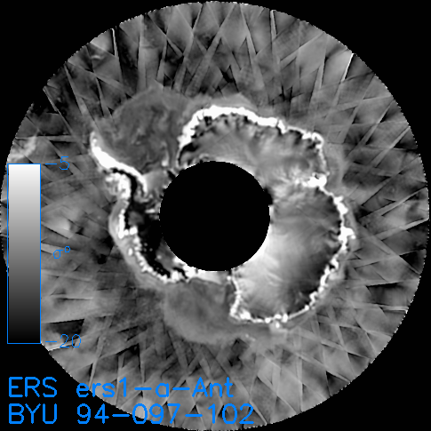
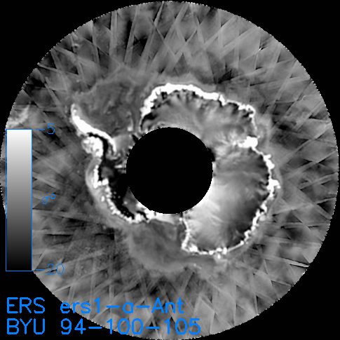
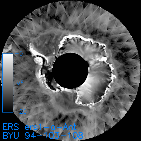
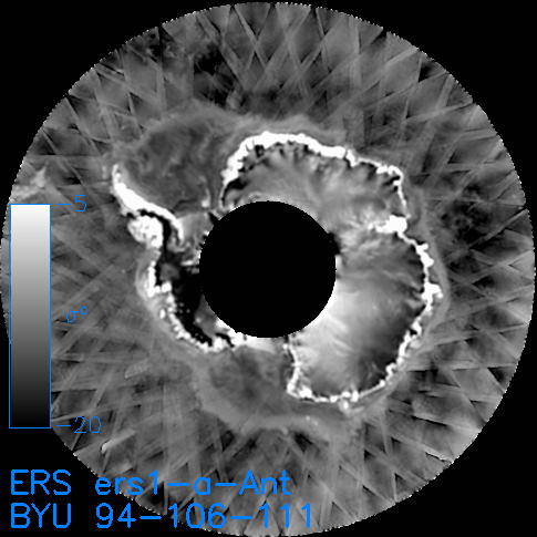
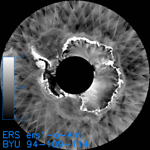
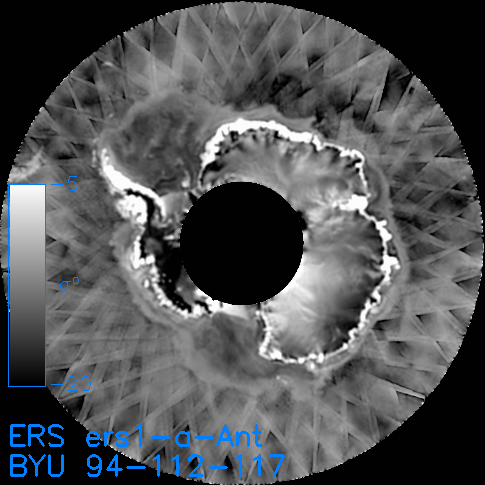
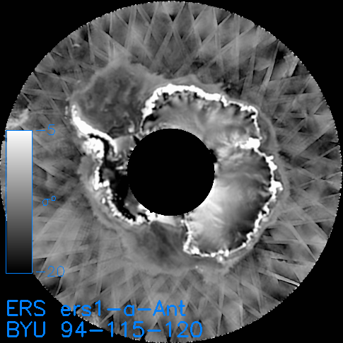
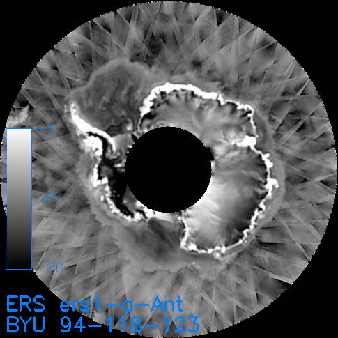
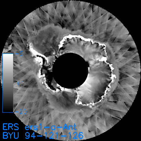
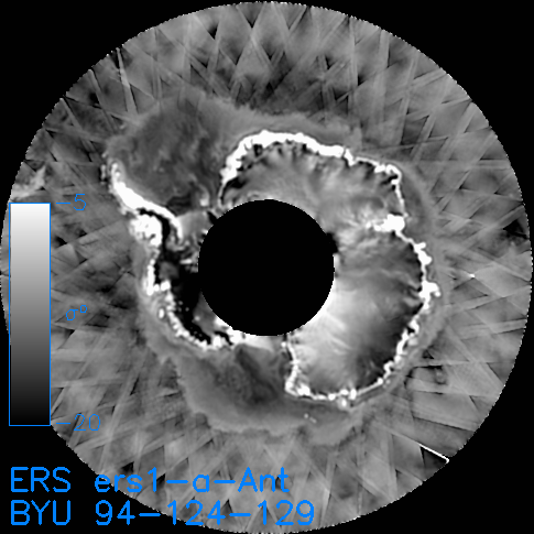
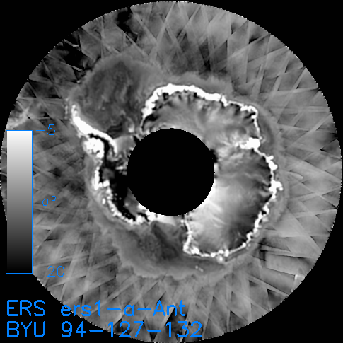
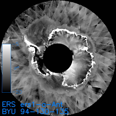
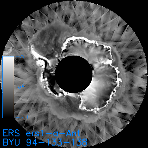
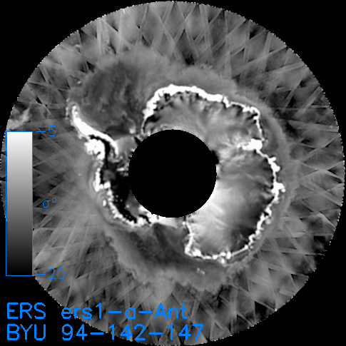
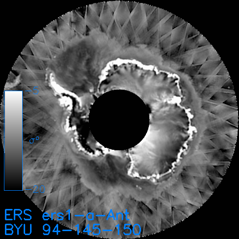
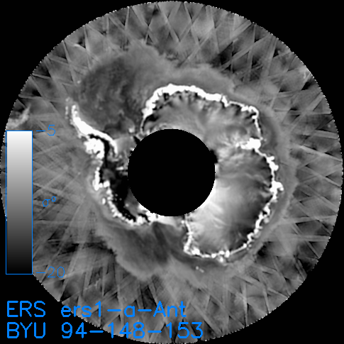
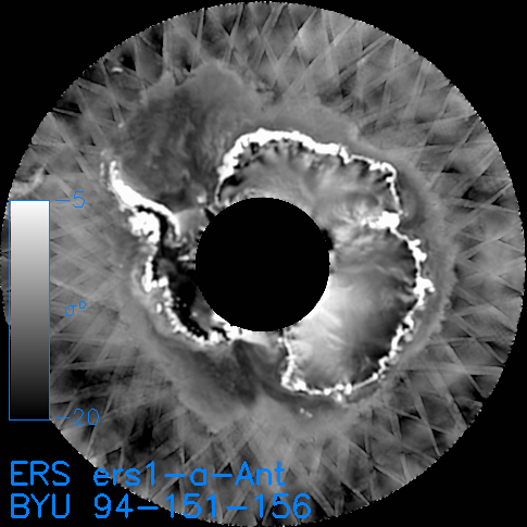
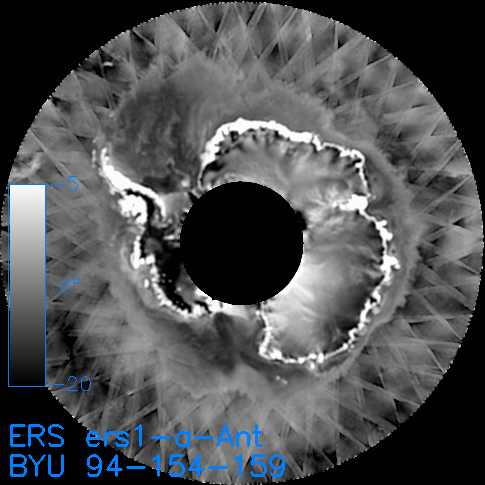
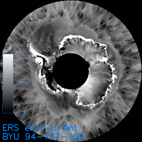
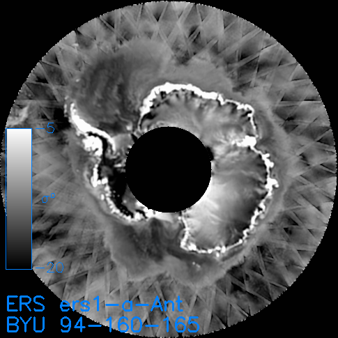
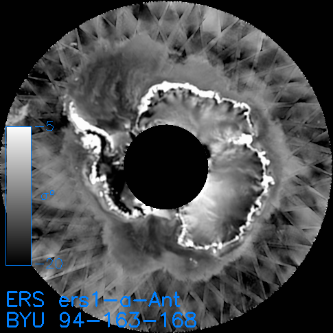
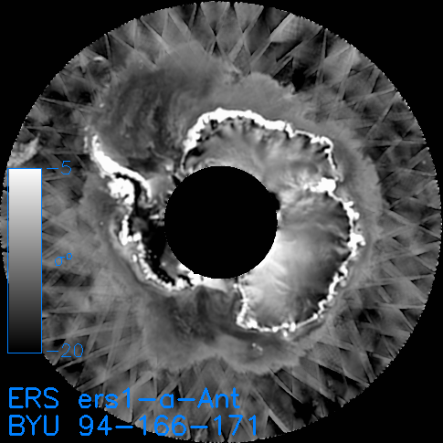
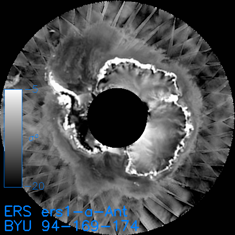
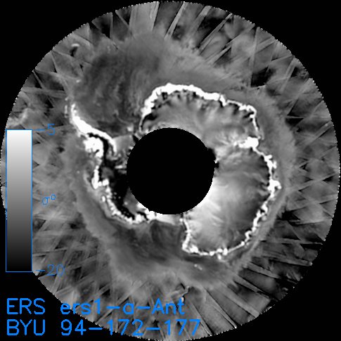
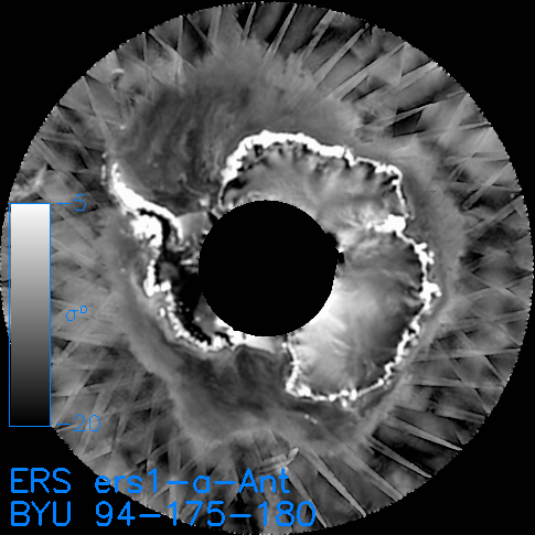
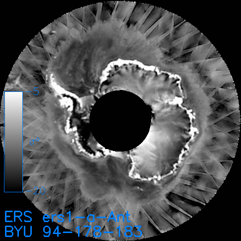
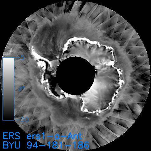
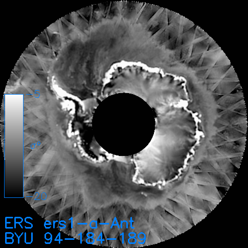
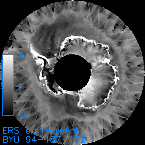
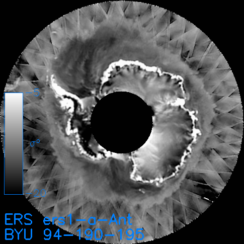
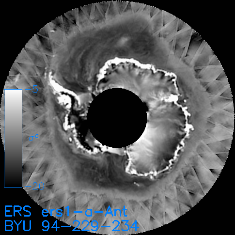
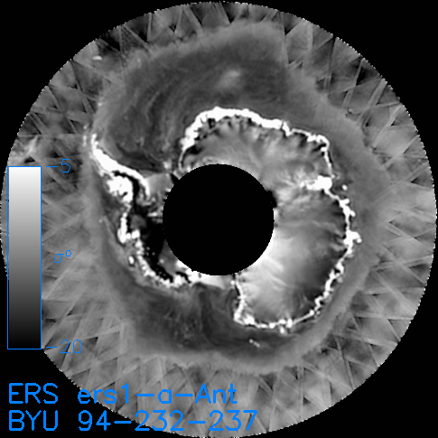
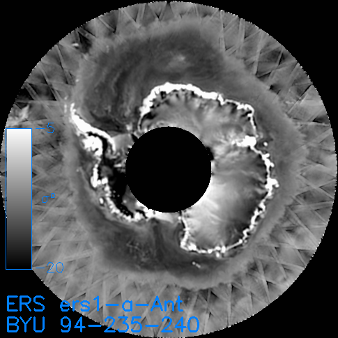
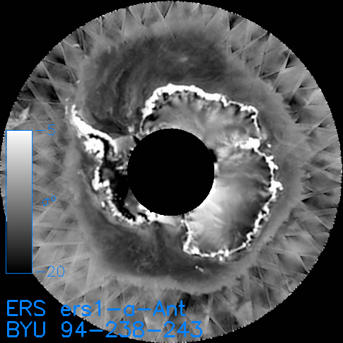
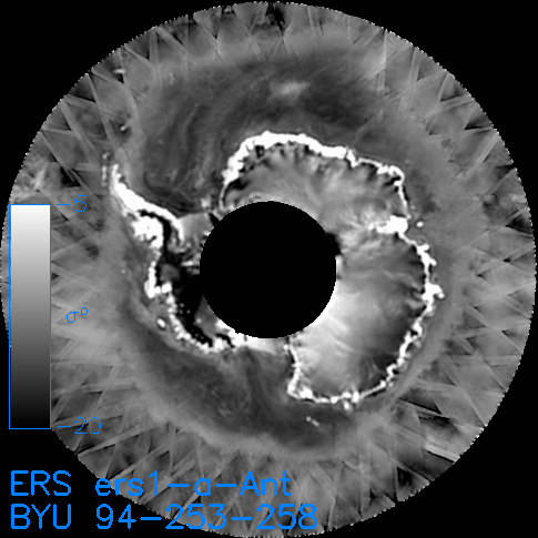
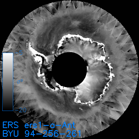
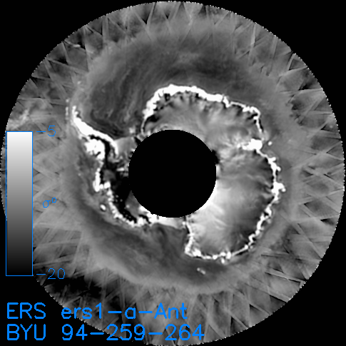
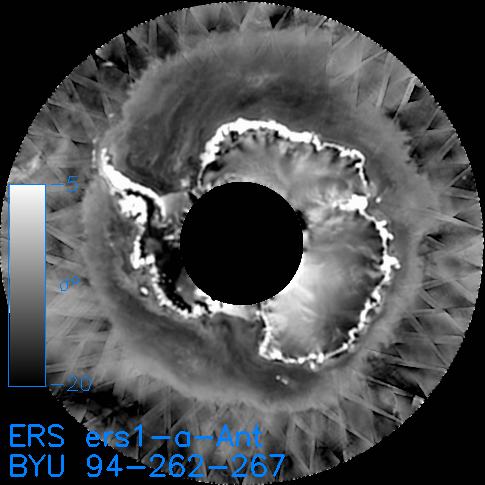
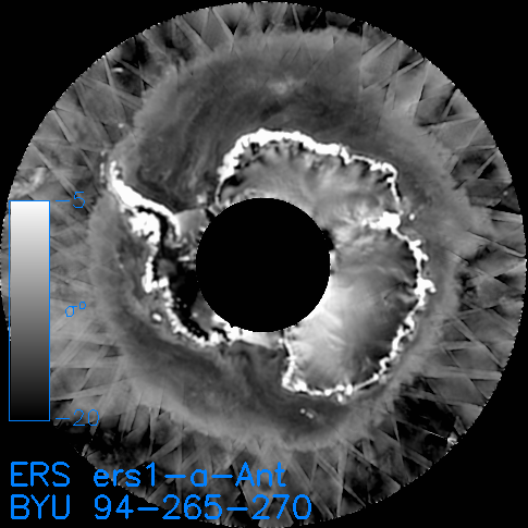
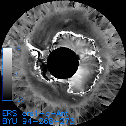
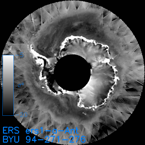
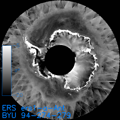
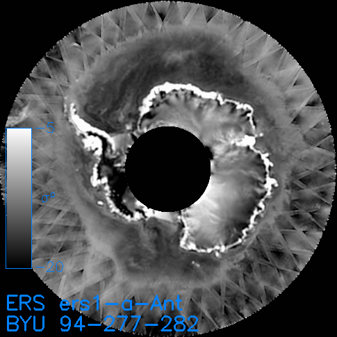
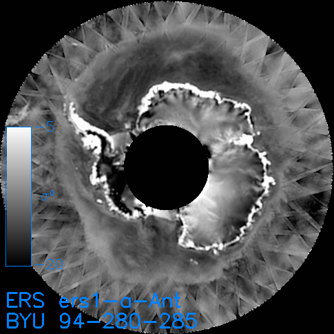
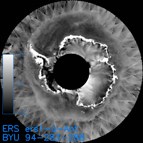
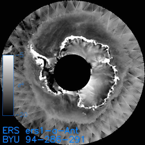
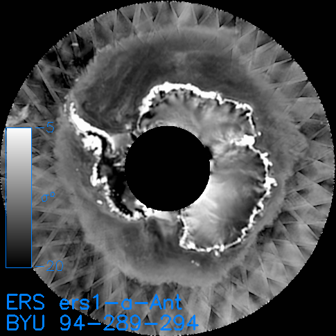
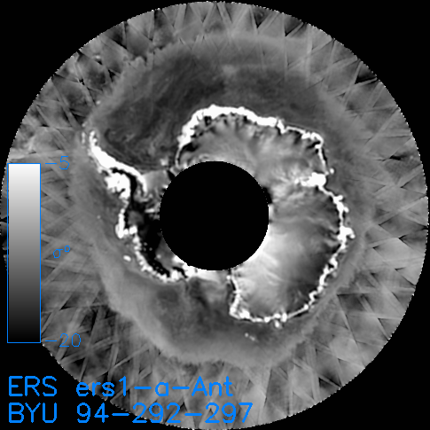
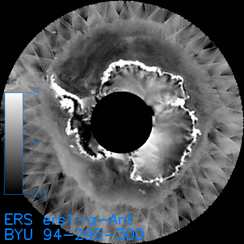
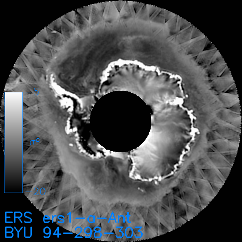
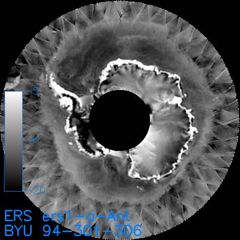
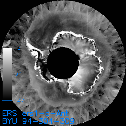
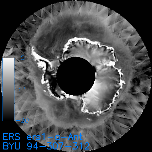
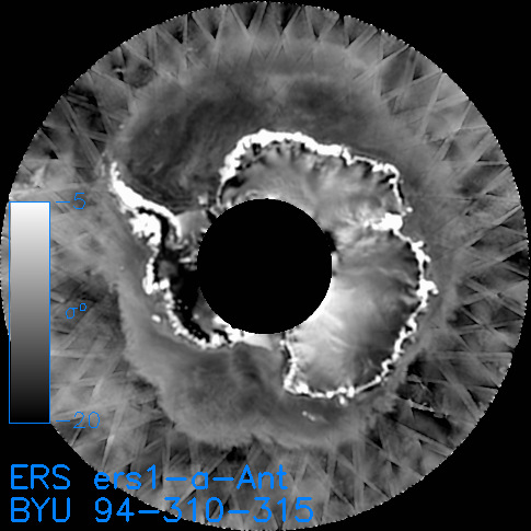
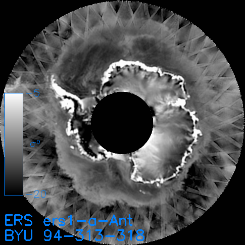
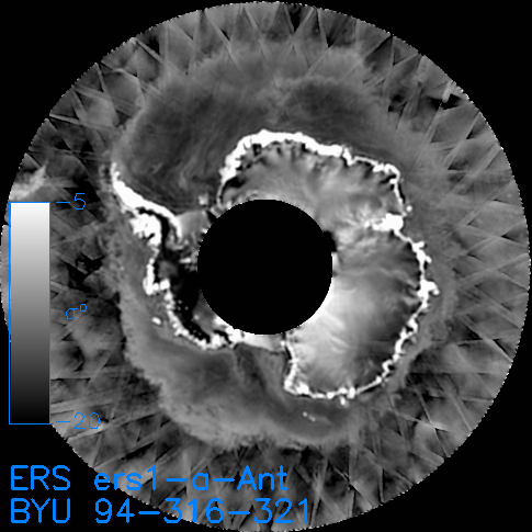
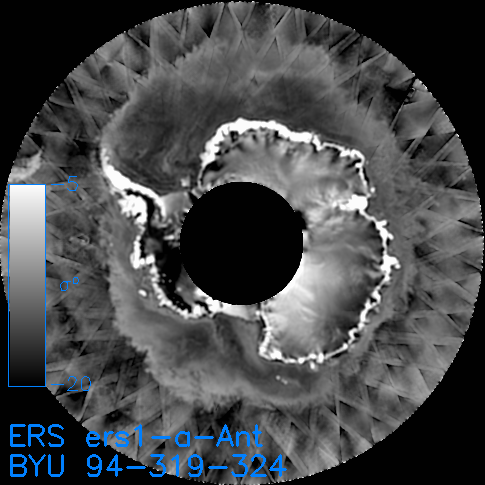
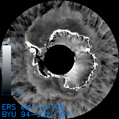
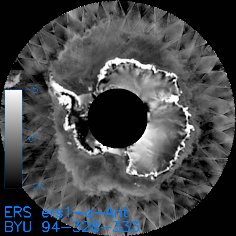
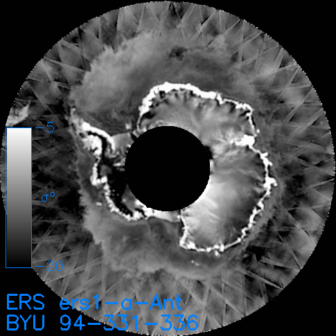
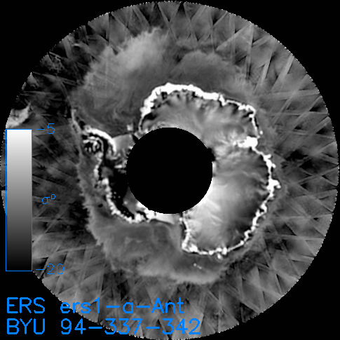
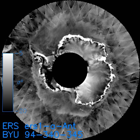
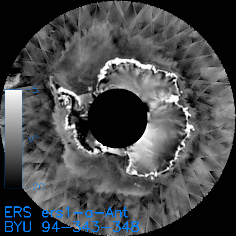
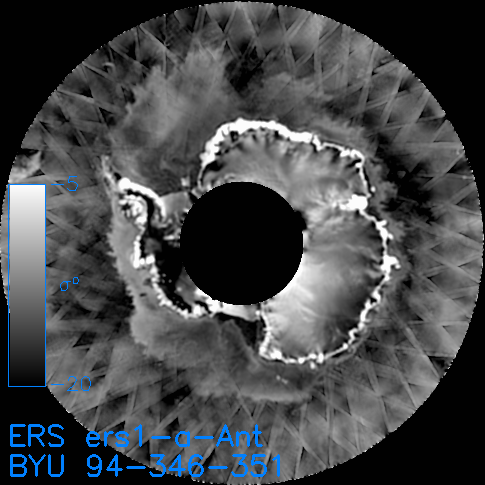
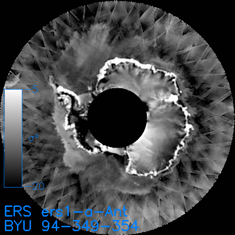
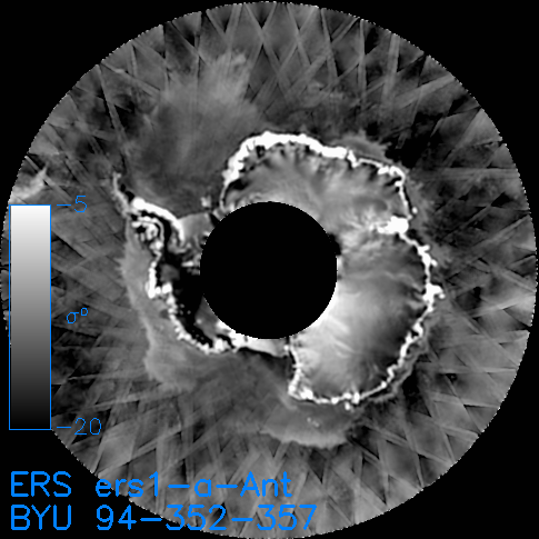
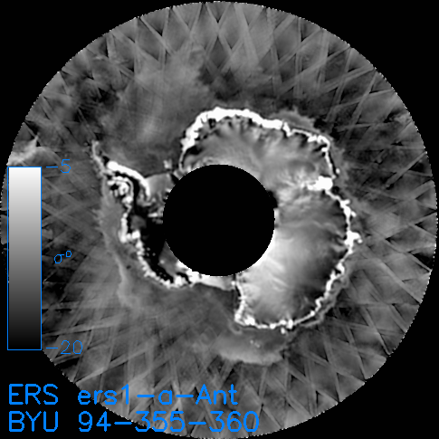
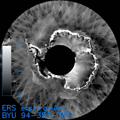
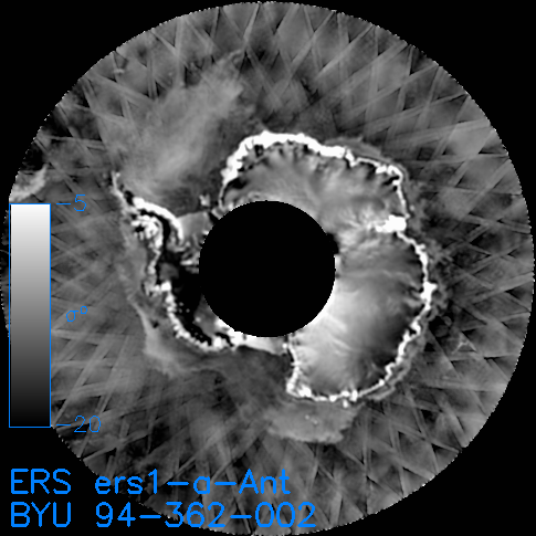
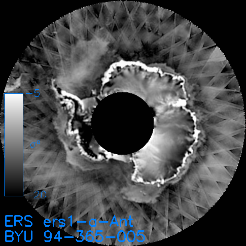
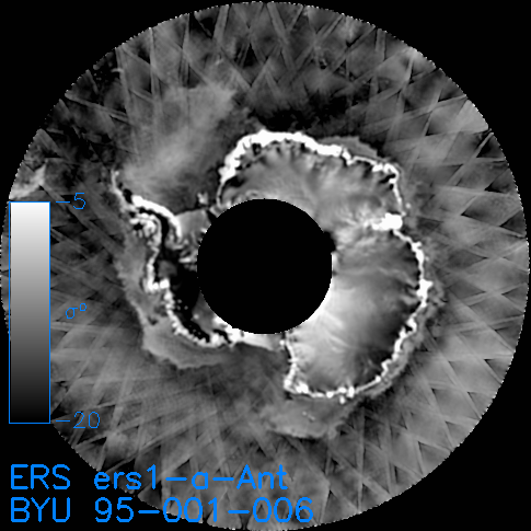
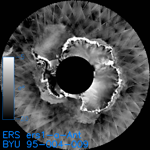
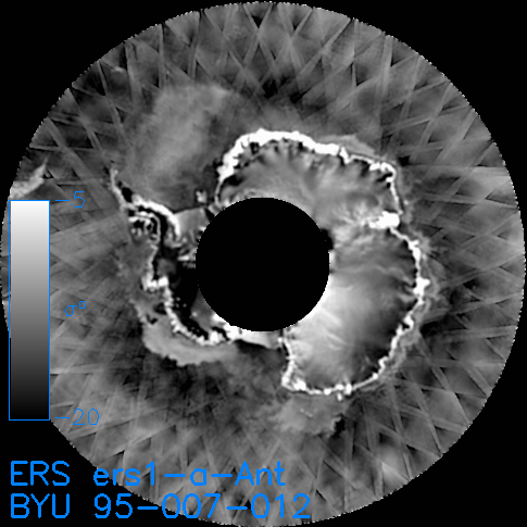
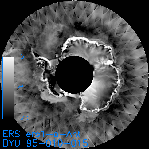
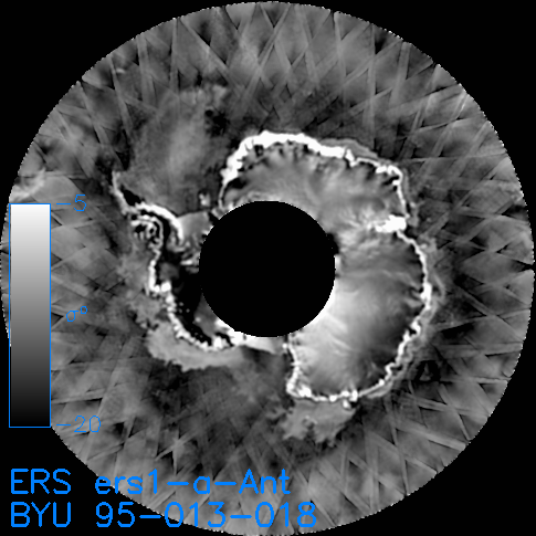
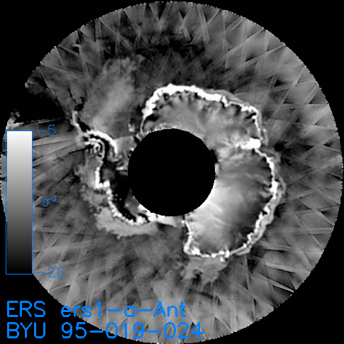
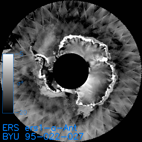
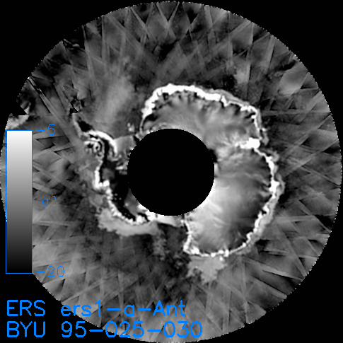
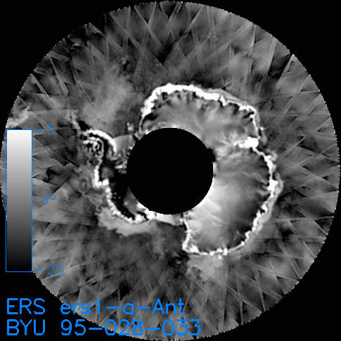
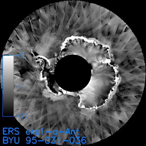
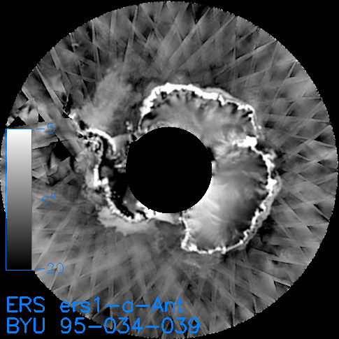
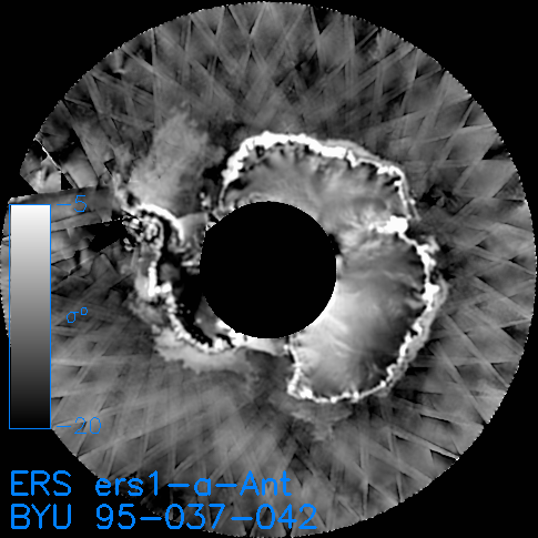
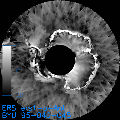
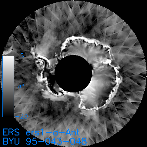
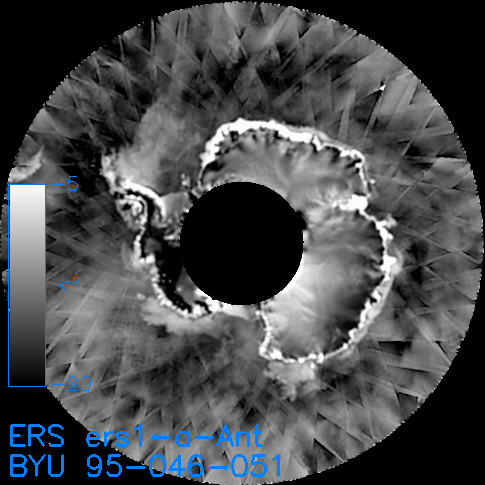
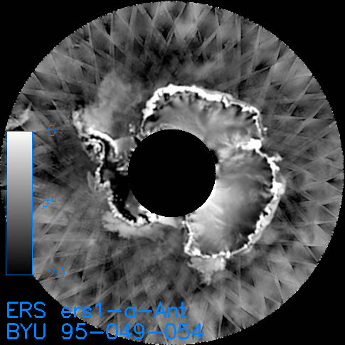
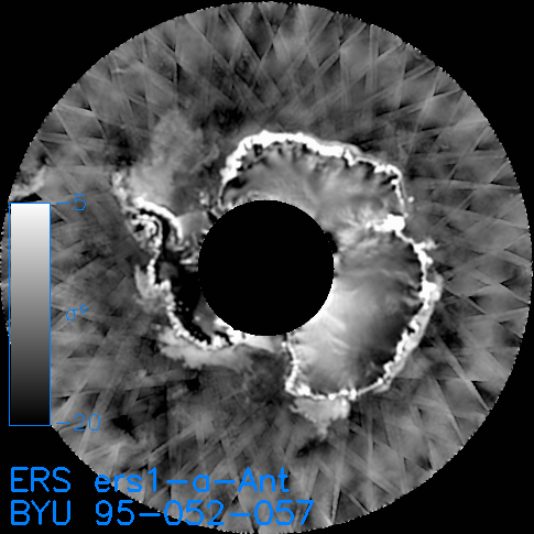
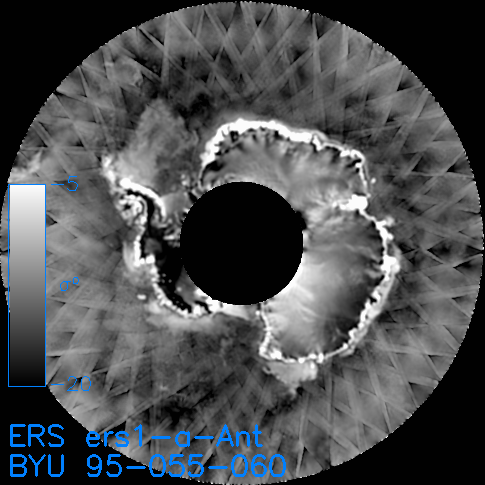
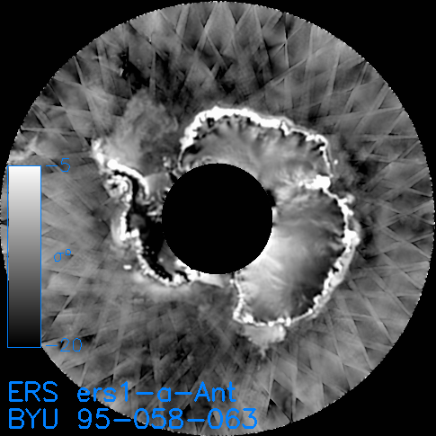
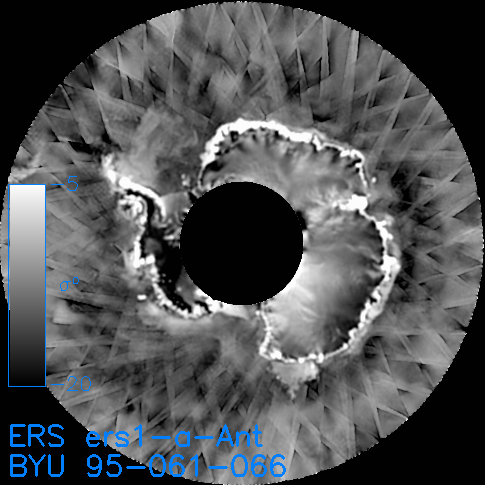
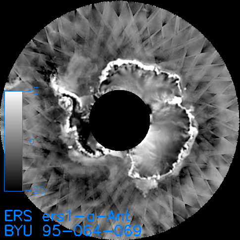
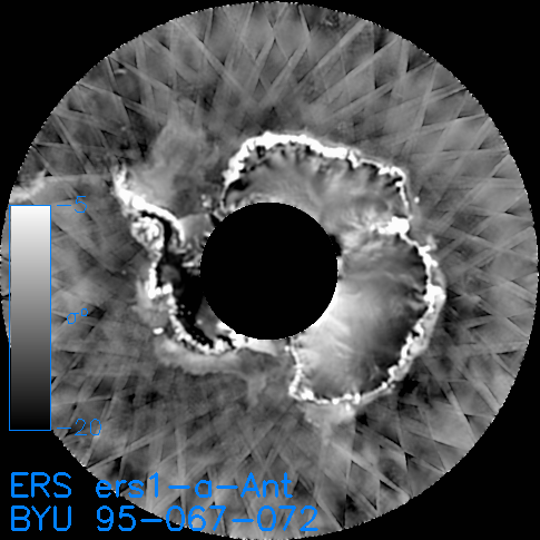
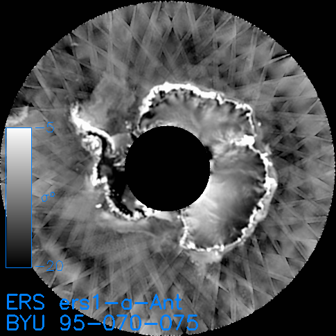
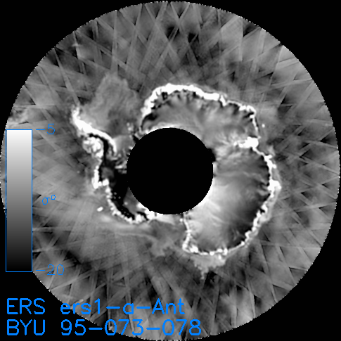
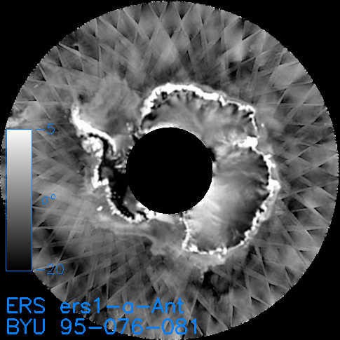
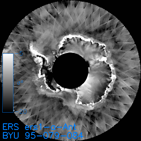
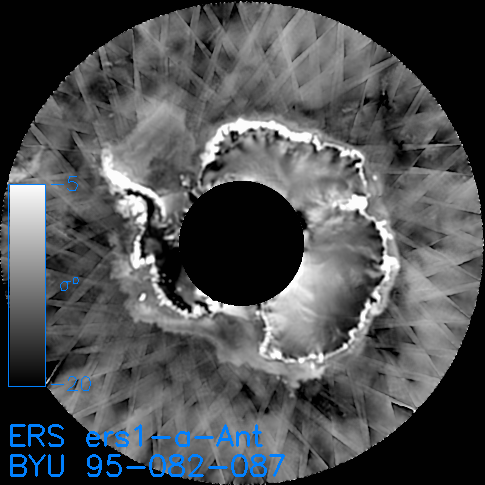
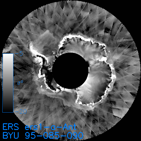
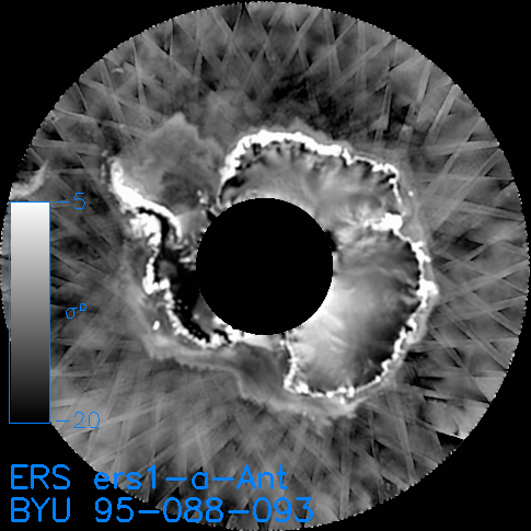
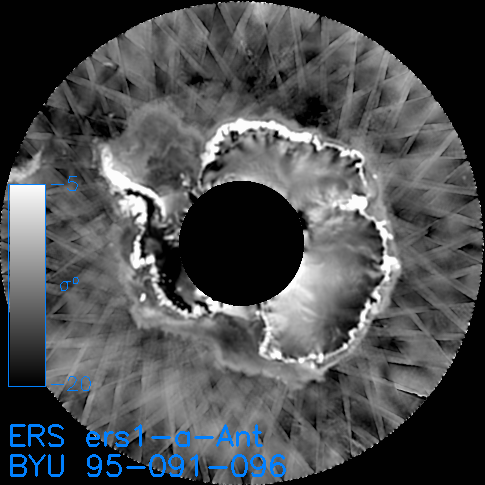
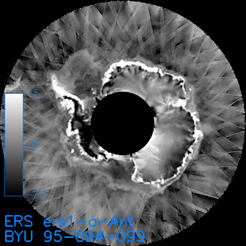
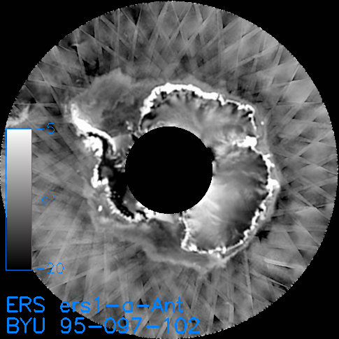
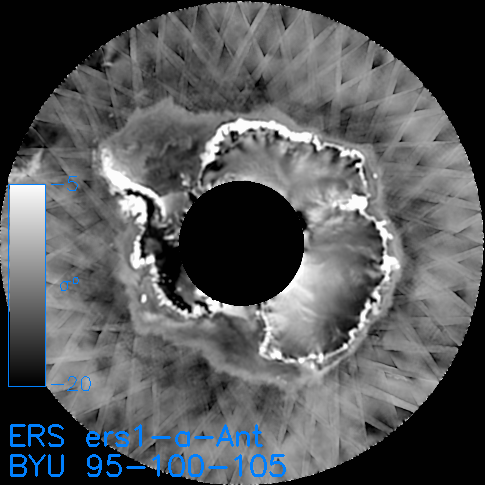
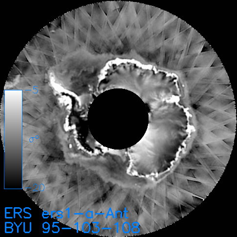
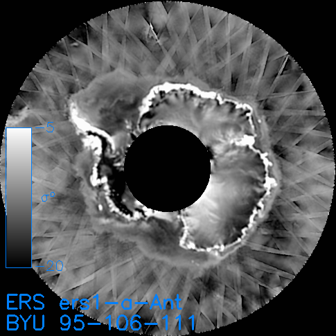
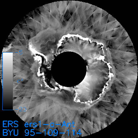
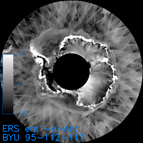
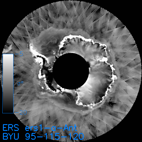
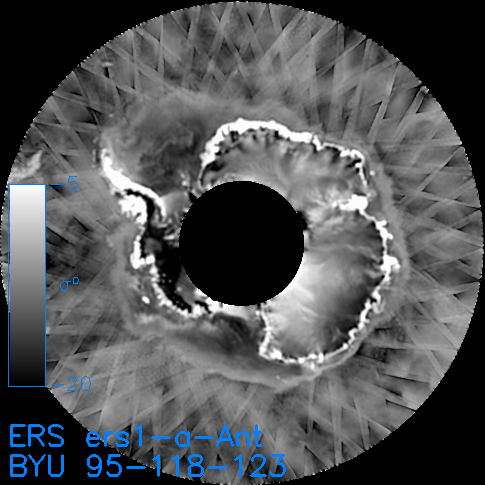
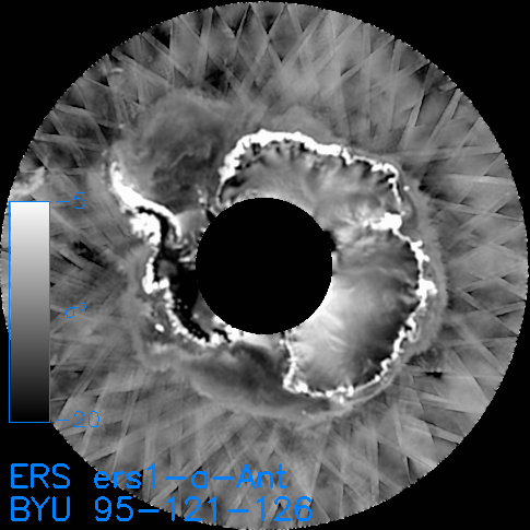
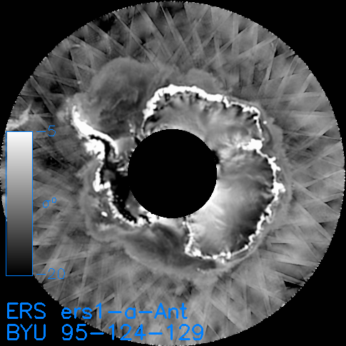
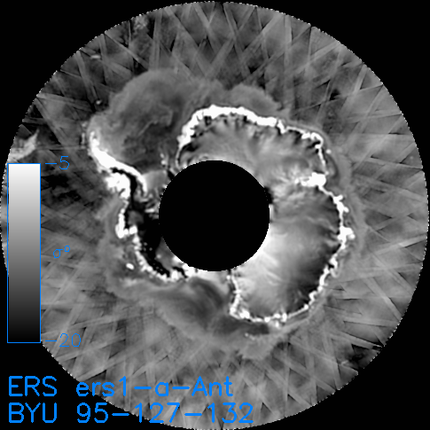
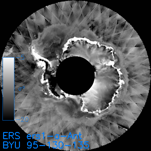
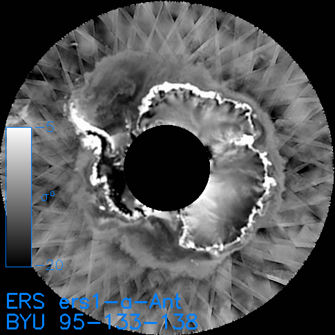
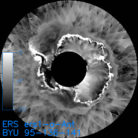
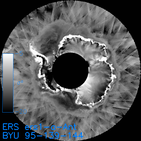
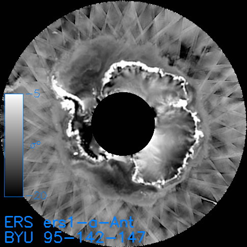
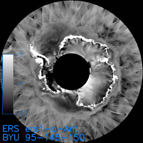
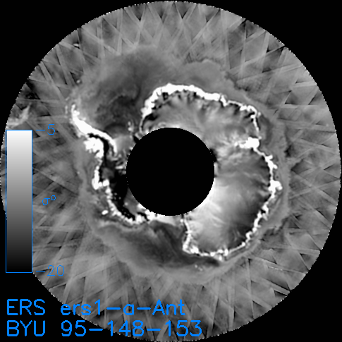
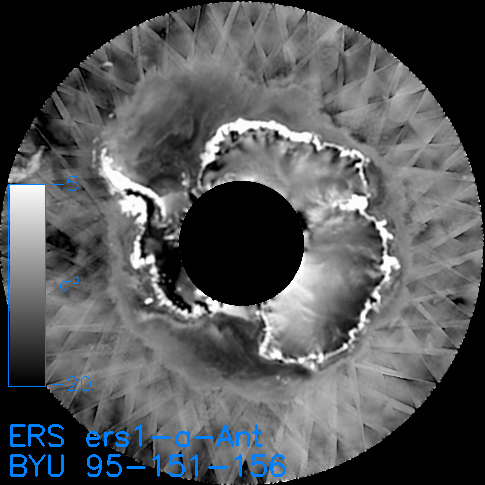
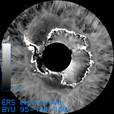
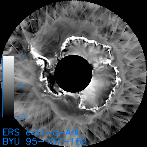
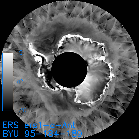
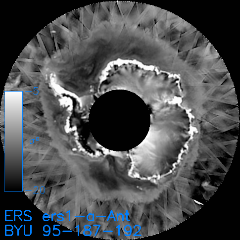
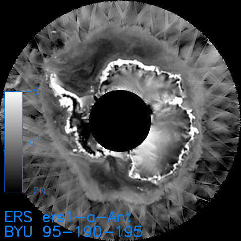
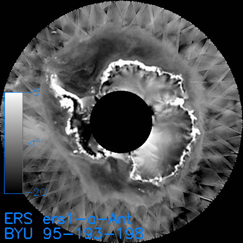
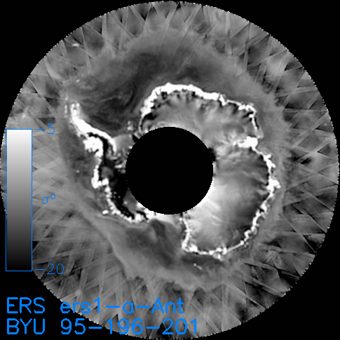
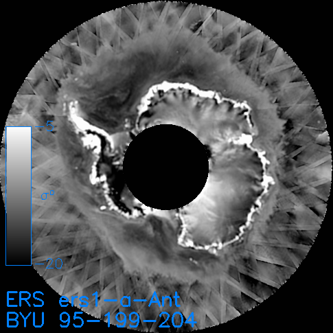
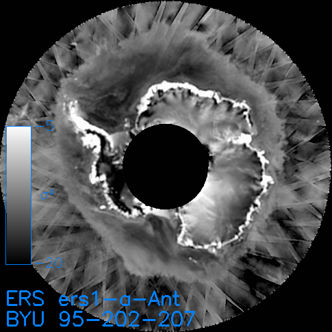
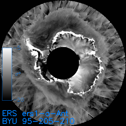
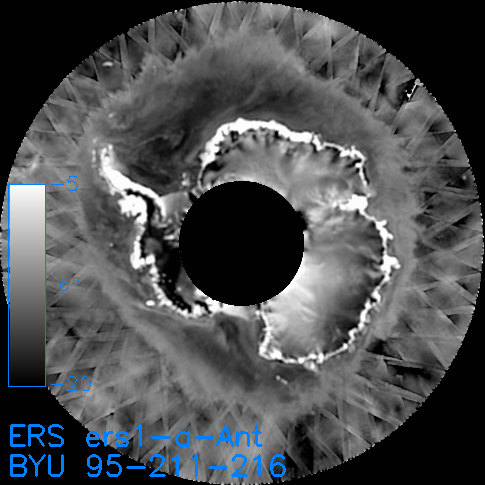
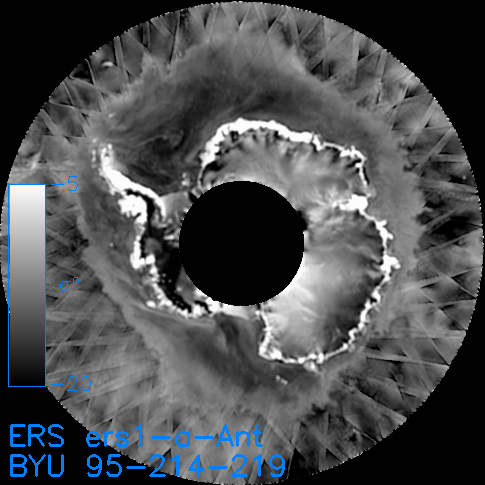
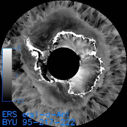
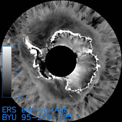
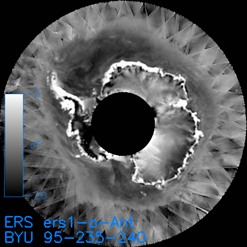
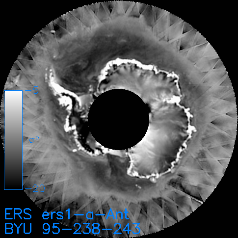
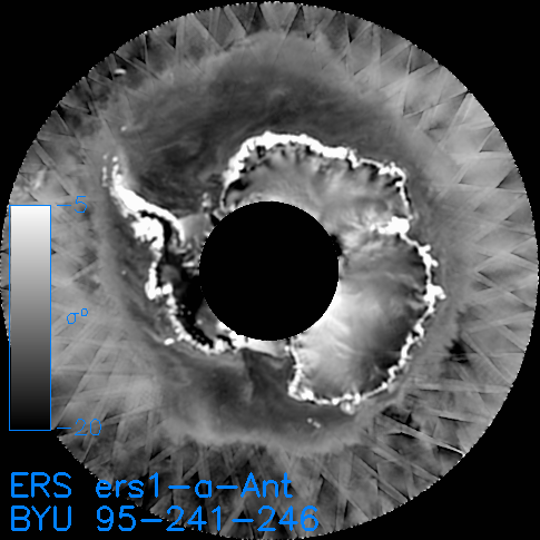
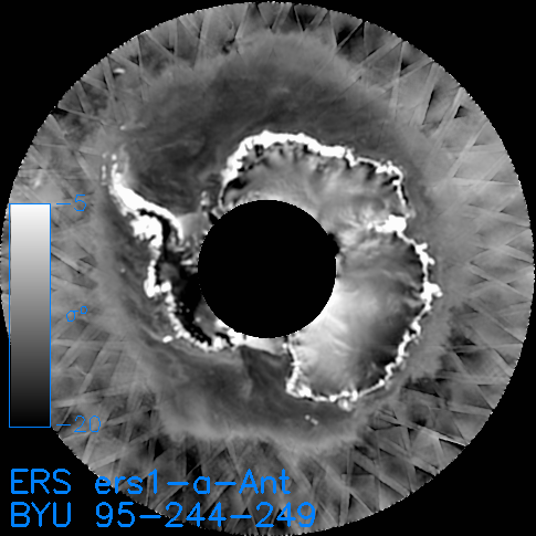
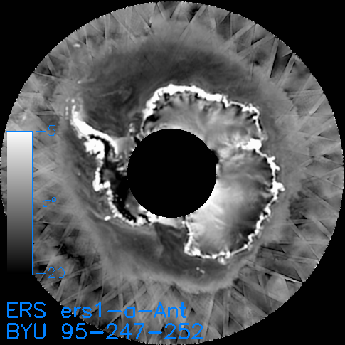
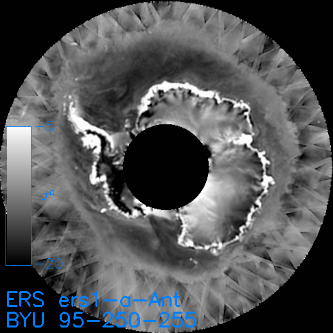
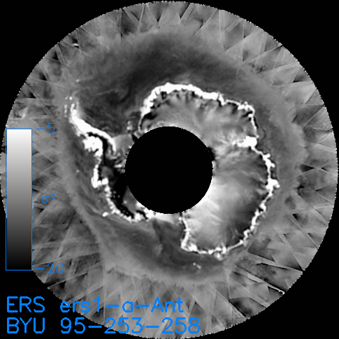
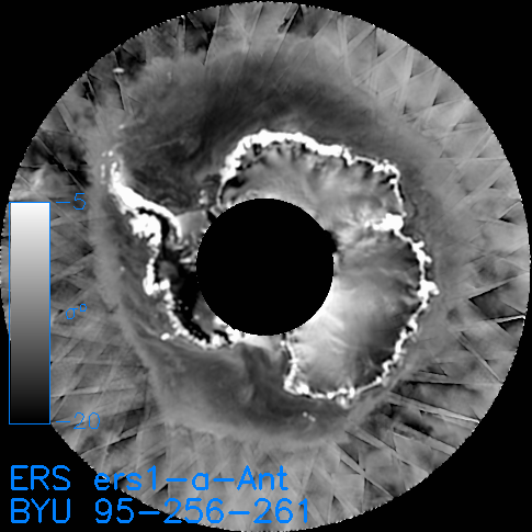
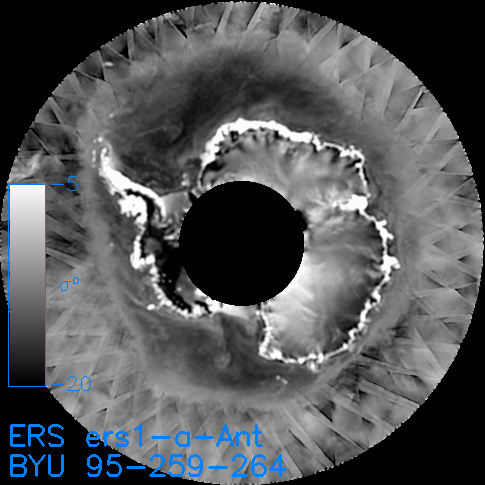
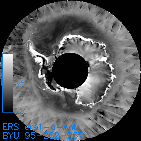
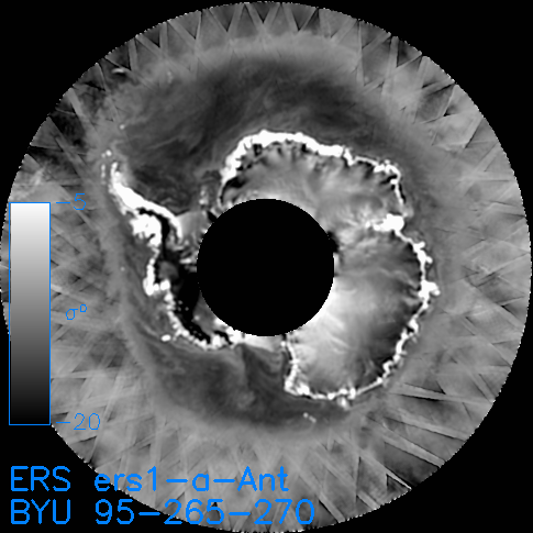
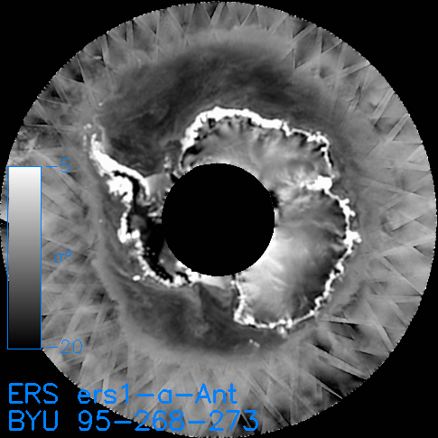
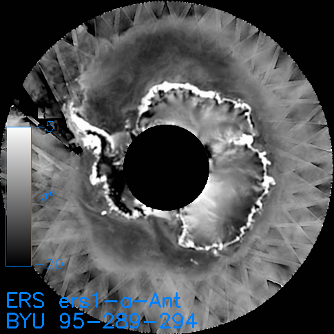
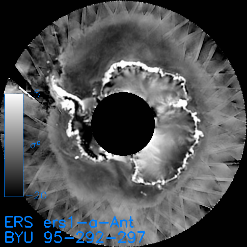
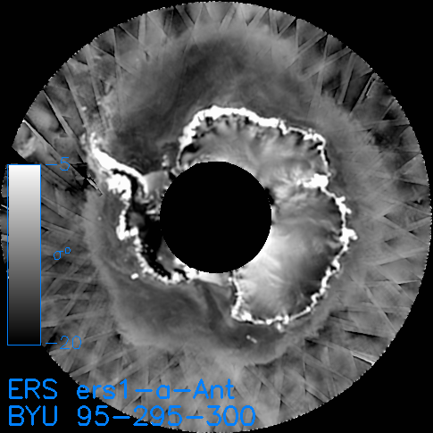
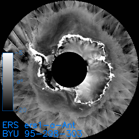
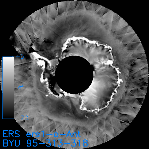
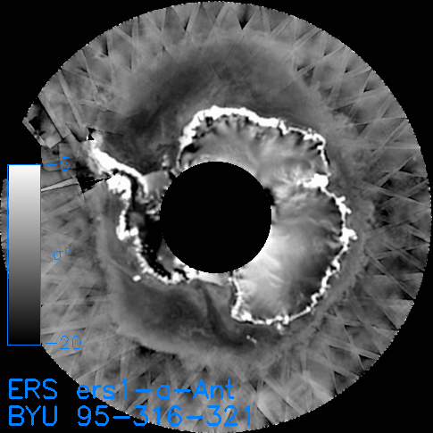
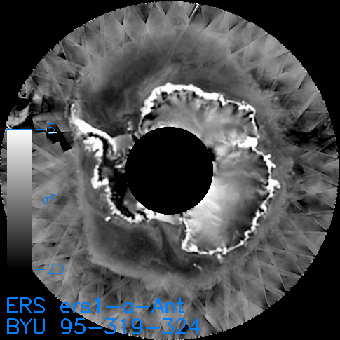
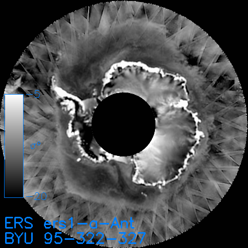
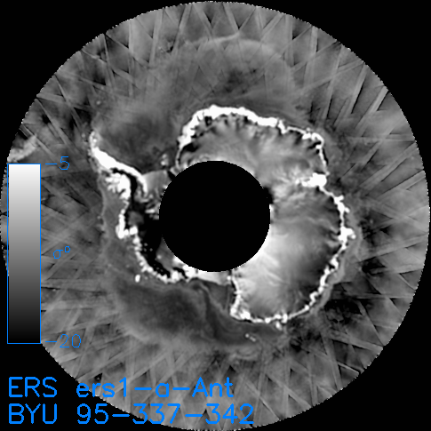
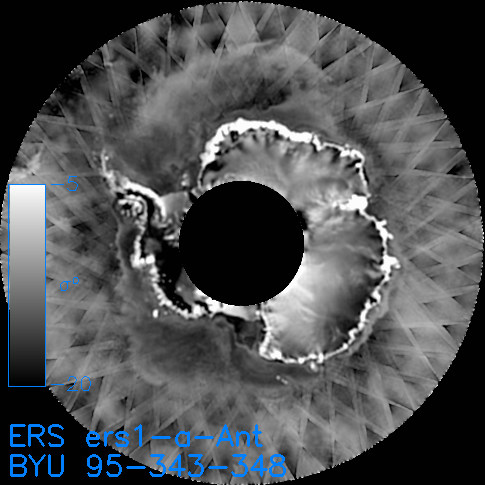
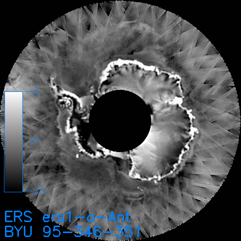
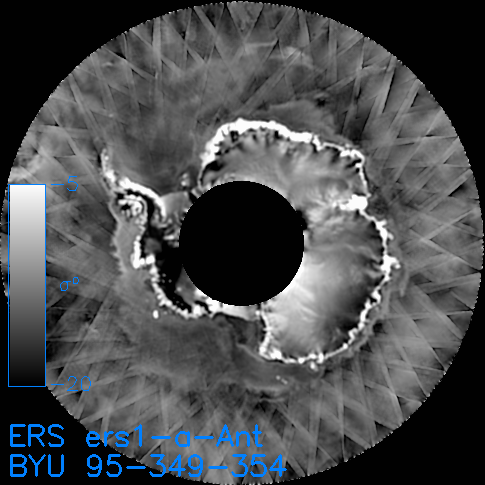
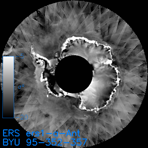
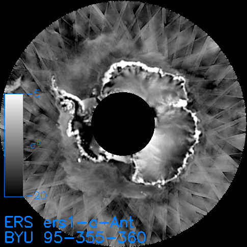
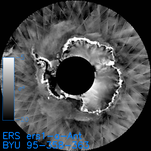
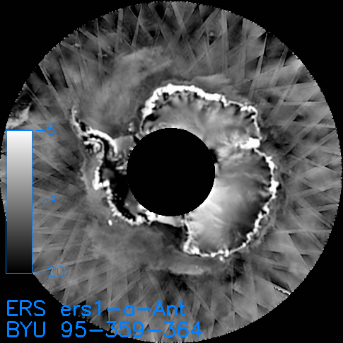
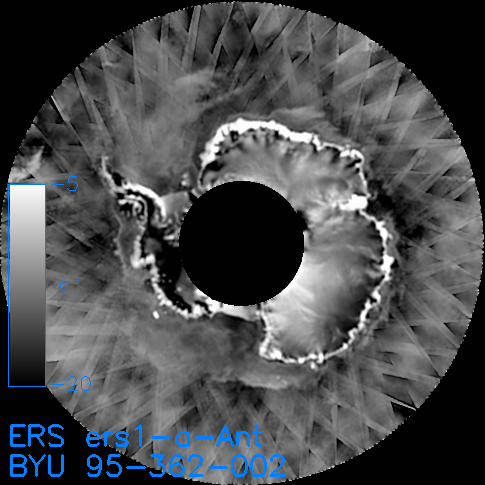
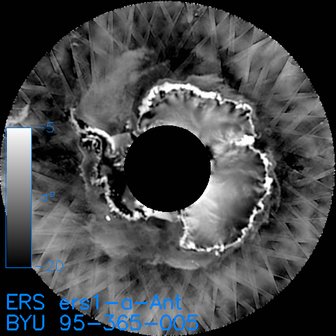
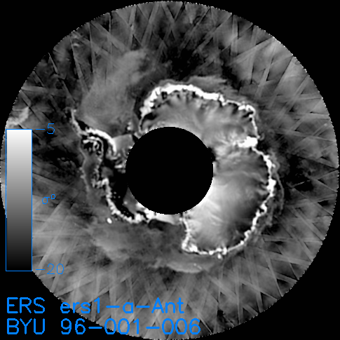
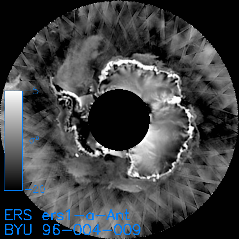
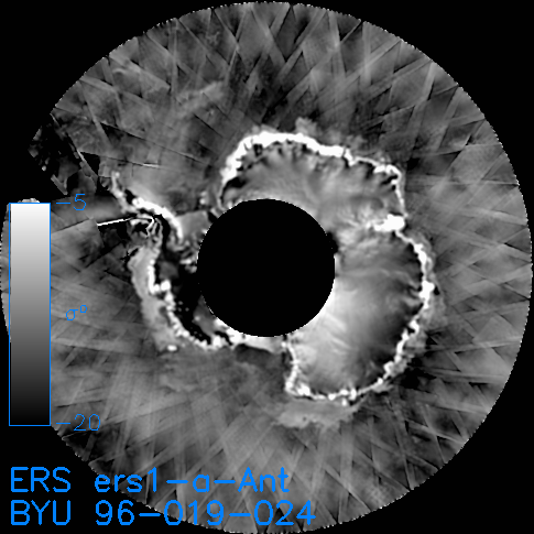
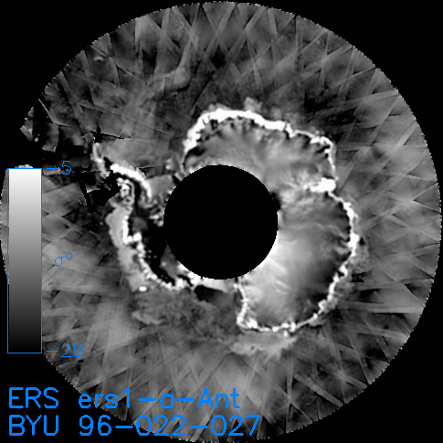
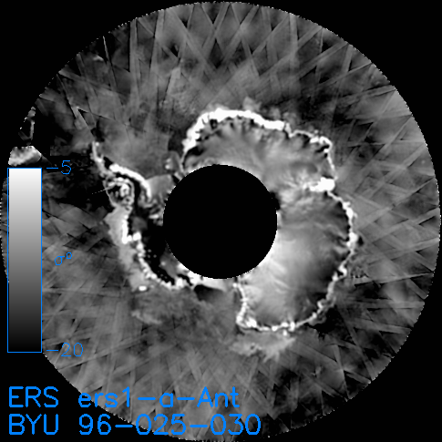
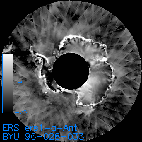
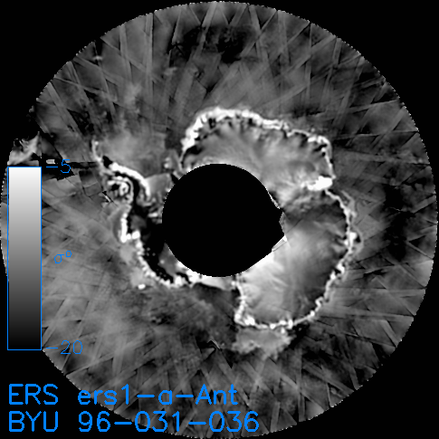
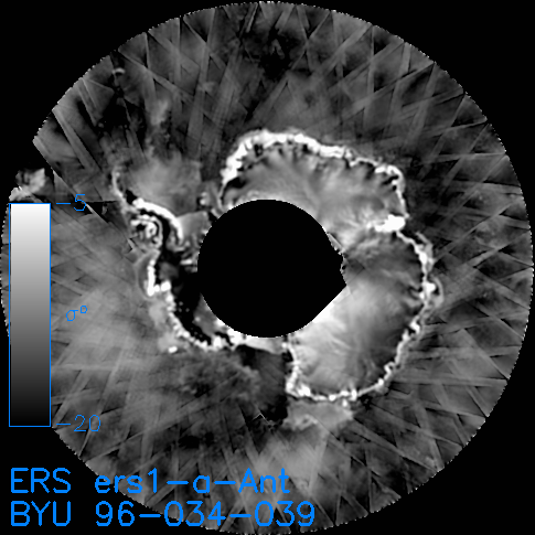
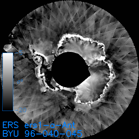
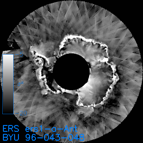
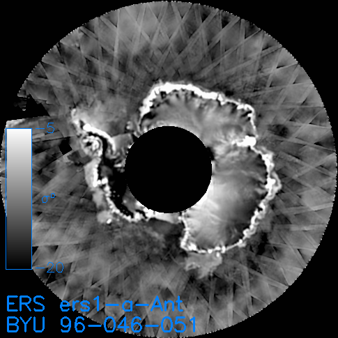
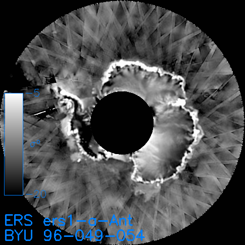
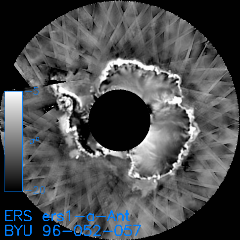
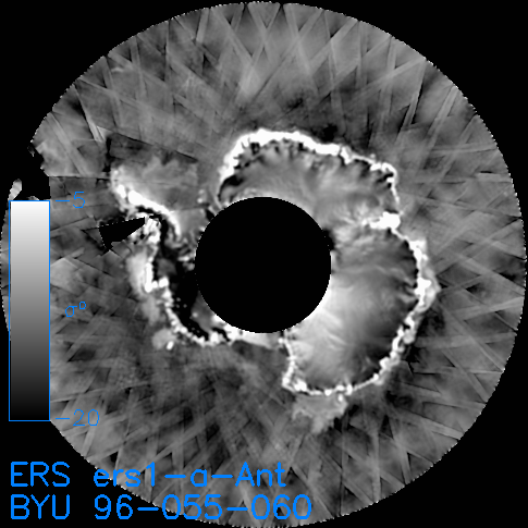
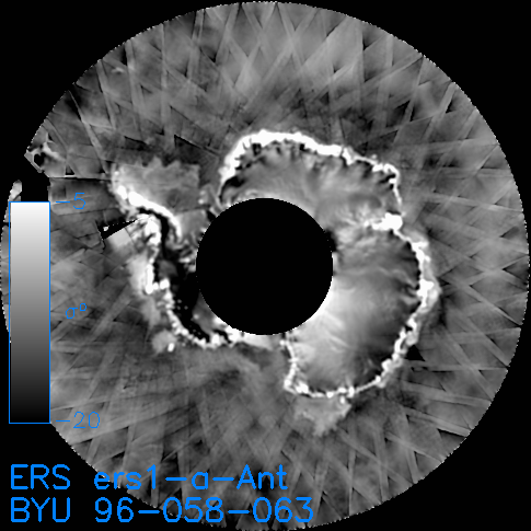
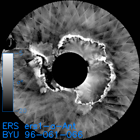
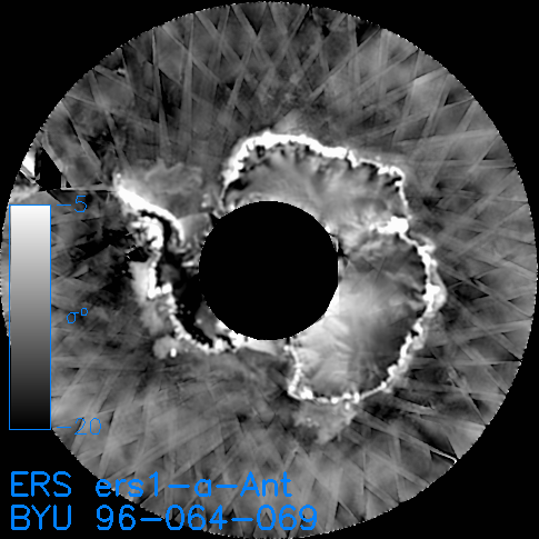
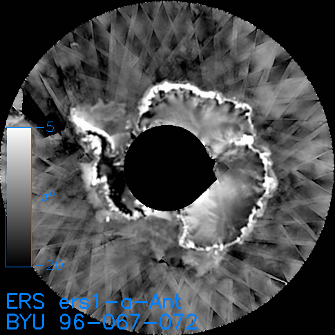
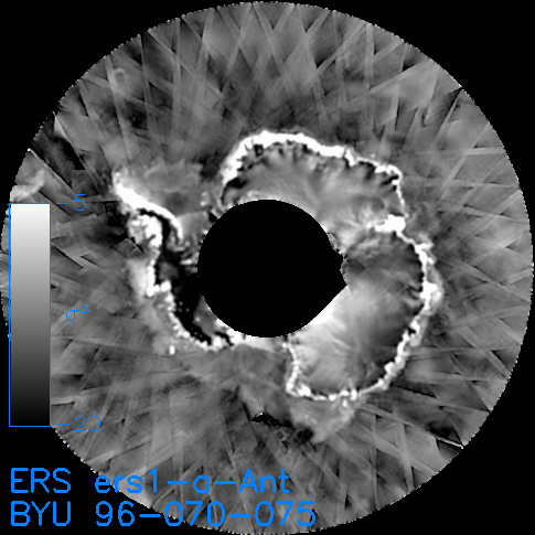
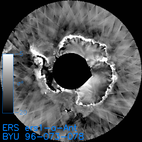
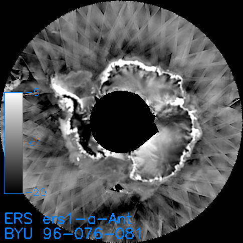
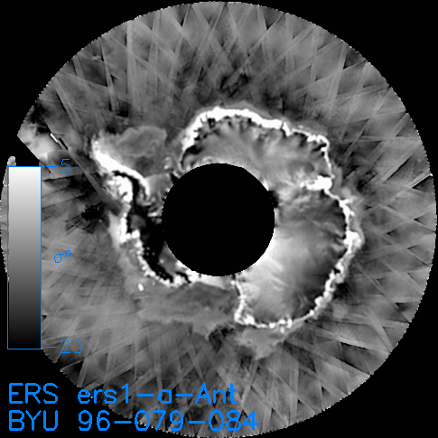
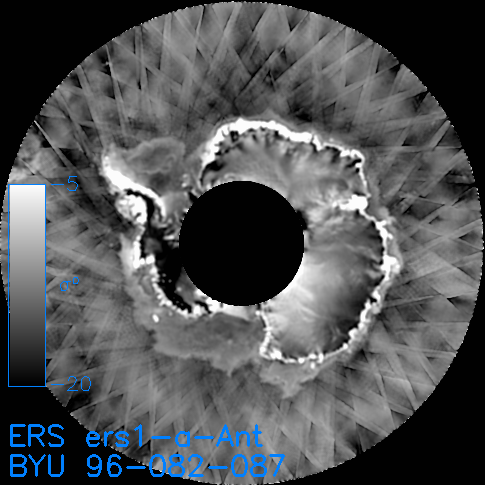
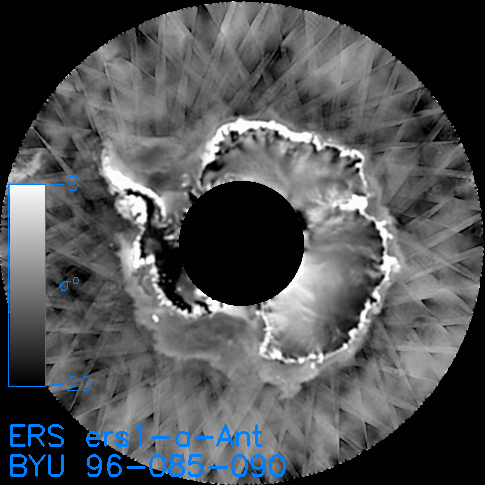
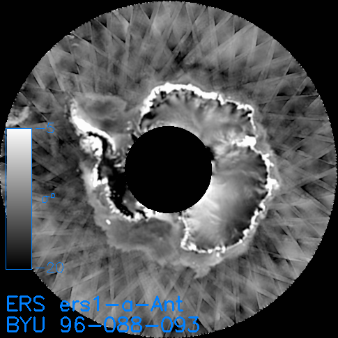
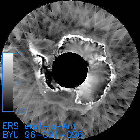
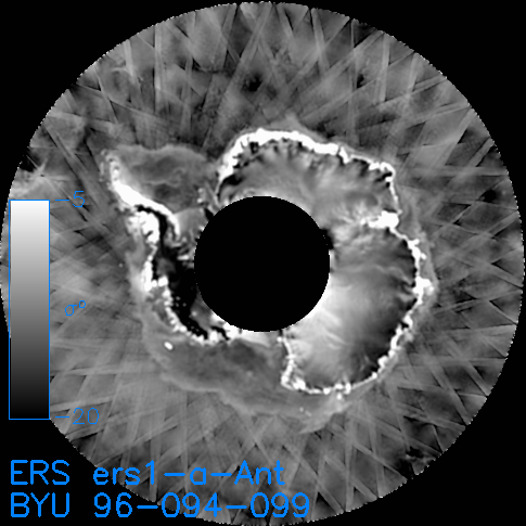
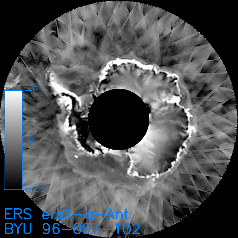
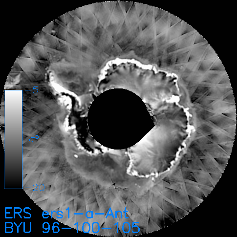
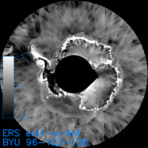
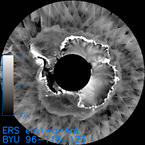
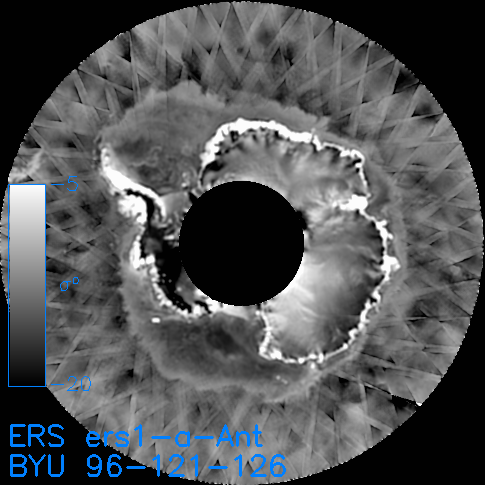
* Most of the standard regions use conformal (equal-area) projections. For such projections, the area of each pixel is constant and equation to the nominal pixel dimension (8.9 km for .sir, 5x8.9 km for .grd) squared. However, polar regions use a polar stereographic projection. This projection does not have constant area pixels. For these regions, SIR-format images that contain the pixel area in square km for each pixel are provided.
Questions or Comments: email Scatterometer Climate Record Pathfinder Web page created: 22:06:51 07/02/02 for SCP product version 1.0 | |||||||||||||||||